From the railways station, walk to the dual carriageway (crossing the road) and walk on the A907 road to your left; cross the next road & walk round the corner, crossing the next road by the zebra crossing. OK, walk to your right, bearing immediately left down Devon Road, then just 20 yards on take the footpath up the side of the house on your left, and keep walking until you go into the trees. Then keep your eyes peeled for the fairy mound with a rock on top of it!
Archaeology & History
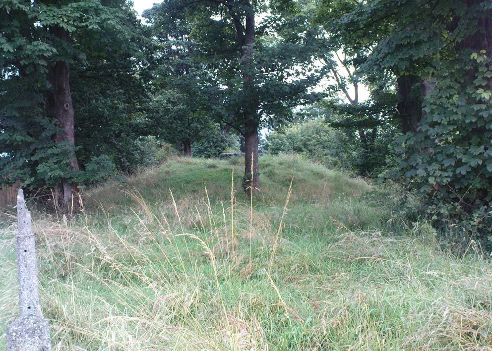
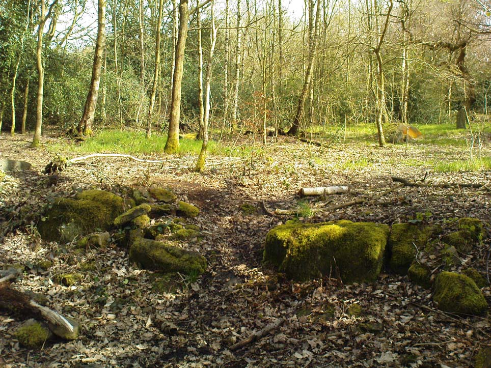
Overgrown cairn, looking NE
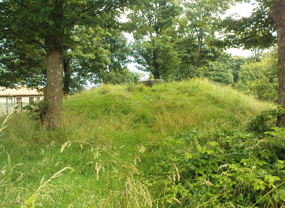
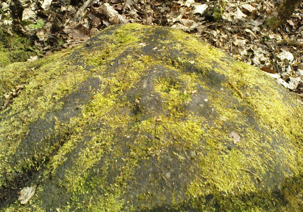
This is a large rounded, almost archetypal tumulus, sitting just a couple of minutes walk out of Alloa town centre, sandwiched between streets in the remaining copse of trees running east-west along Hawk Hill. Although the mound is of considerable size—with a large curious block of stone plonked on top—it hasn’t always been like that and has evidently been rebuilt sometime in the 20th century, for when the Royal Commission (1933) lads visited the site in July 1927, they reported only a bare trace of the old tomb, saying:
“The site of the cairn at Hawk Hill lies about 100 yds SSE of the lodge gate. The position is marked by a setting of young trees, but the ground has been cultivated and no definite outline of any structure can now be traced. A few loose stones of no great size, lying scattered about, are the only signs of a cairn.”
But the site is quite large, being more than 4 feet high and about 18 yards across, with a large flattened circular top. Nearby there was reported to have been another cairn, but this turned out to be little more than some recent debris.
Folklore
Local folklore tells that this monument is along a ley line that links it with the Hawk Hill Cross and destroyed stone circle east of here and the remains of a little-known standing on the outskirts of Alloa, to the west. I’ve not checked the precision of this alignment, but a quick scan of it looks pretty decent!
References:
Arabaolaza, Iraia, “Hawk Hill, Alloa,” in Discovery & Excavation in Scotland, New Series volume 10, 2009.
Royal Commission on the Ancient & Historical Monuments, Scotland, Inventory of Monuments and Constructions in the Counties of Fife, Kinross and Clackmannan, HMSO: Edinburgh 1933.
Royal Commission on the Ancient & Historical Monuments, Scotland, The Archaeological Sites and Monuments of Clackmannan District and Falkirk District, Society of Antiquaries of Scotland 1978.
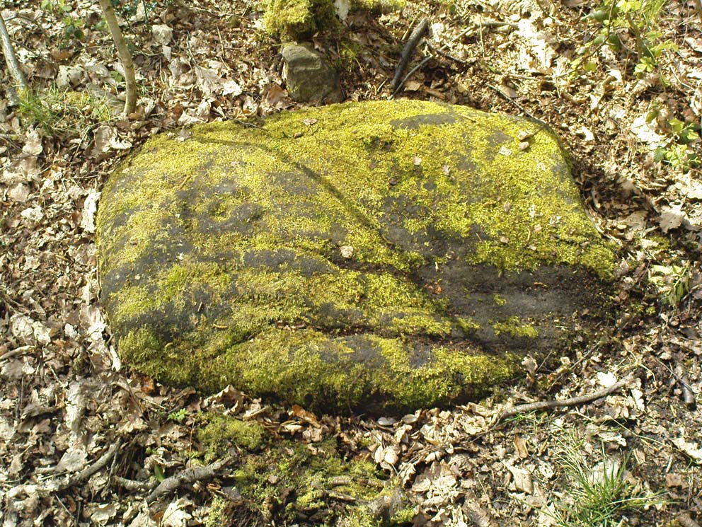
Follow the same directions as if you’re visiting the largest and most ornate of the Buck Woods carvings. From here, about 10 yards ahead of you, roughly north, you’ll see another stone, less than half-size of Buck Woods 1, moss-covered and not rising too much out of the Earth. It’s not difficult to find once you’ve located the largest of the Buck Woods stones.
Archaeology & History
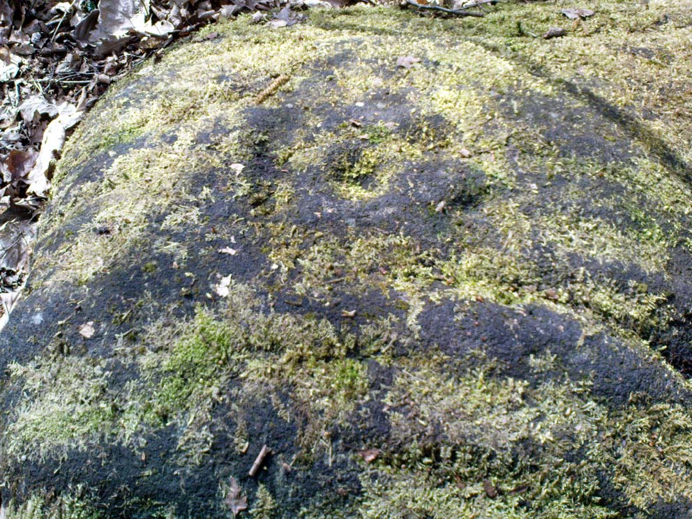
A cup-and-half-ring
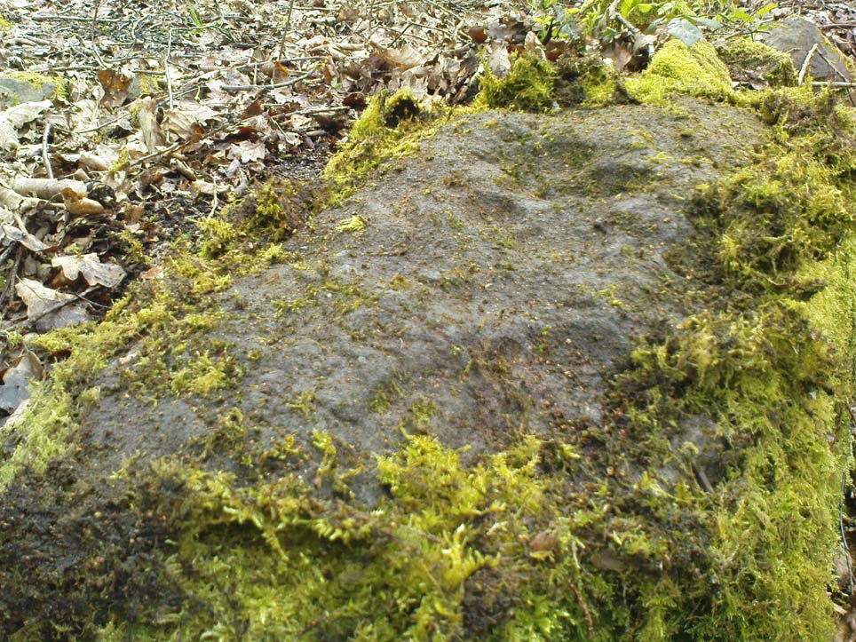
Another of the small cluster of little-known prehistoric carved stones in this woodland on the edge of Bradford, not in the Boughey & Vickerman (2003) survey. This however is possessed of a cup-and-half-ring, with other seemingly carved ingredients fusing onto natural aspects of the rock. The design is found on the highest part of the stone; and whilst the main cup is easy to make out, the encircling half-ring is slightly troublesome.
…and from another angle
There are two distinct lines running down one side of the rock, both seemingly natural, but they may have been added to—it’s difficult to say with any certainty. Certainly the one closest to the cup-and-half-ring has the carved line etched to meet the natural geological feature, as you can just make out in the photos here. There also seems to be other carved features surrounding the central design, with other marks round the main cup, almost suggesting that a complete ring was being made, but never accomplished. It’s an odd one. If I’d have stripped the moss from the stone I could have seen the design in greater detail, but I’ve gotta bittova soft spot for mosses and lichens, so left it alone!
Follow the same directions as if you’re visiting the largest and most ornate of the Buck Woods carvings. From here, walk 10 yards to the Buck Woods 3 carving, then about the same distance forward again until you reach the low lines of (what looks like) Iron Age walling running roughly east-west through the trees. Walk 10-20 yards east along the walling until a gap or entrance appears – and on the other side where the walling starts again, check the 2nd or 3rd rock along, beneath the mosses.
Archaeology & History
More simple cup-marks
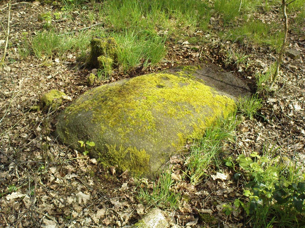
There are no previous references to this small cup-marked stone, whose cups are on the topmost surface of the stone in this ancient stretch of walling (into which some vandal has recently carved his name, ‘Hunt’). It’s another one for the purists amongst you though, as we only have 2 or 3 cupmarks here, as the photos show – with just one which I can say is a certainty. Curiously the other two look, for all the world, as if they’re mollusc cups!—but considering you’re about 50 miles from the sea, this seems a little unlikely. Worth having a look at when you’re checking the other four carvings close by.
Follow the same directions as if you’re visiting the largest and most ornate of the Buck Woods carvings. Once there, notice the green field on the other side of the wall less than 50 yards away. Walk towards the wall, about 20 yards from the Buck Woods 1 carving, keeping your eyes peeled for a flat mossy stone. You’ll find it!
Archaeology & History
Close-up of the cups
A nice simple, almost cute cup-marked stone—not included in the Boughey & Vickerman (2003) survey—with three simple cups running almost in a straight line from the middle of this long stone to its outward, eastern edge. One of the good features of this and its associated carvings is the setting amidst which it’s found. We tend to associate these carvings with open moorland, where many now live, but when they were first carved they were surrounded by woodland and much more: important ingredients relevant to understanding the nature of these curious carvings…
Standing Stone (destroyed): OS Grid Reference – NS 99 77
Archaeology & History
Not included in the Canmore listings, nor that of the Scottish Royal Commission (1929), this lost standing stone once stood somewhere in Linlithgow town itself. It was referred to in the huge but obscure Registrum Magni Sigili Regum Scotorum from 1586 through to 1614 as one of the street-names in the town, written several times as ‘Standandstane’ — which, as MacDonald (1941) told in his fine survey, means literally a “Standing Stone.” The place was also referred to several times in other local accounts, dating from 1664, but was last mentioned in 1699 and, it appears, disappeared soon afterwards.
Perhaps some record of the site may be available in local witchcraft or folklore accounts. Does anybody know?
References:
MacDonald, Angus, The Place-Names of West Lothian, Oliver & Boyd: Edinburgh 1941.
Royal Commission on the Ancient & Historical Monuments of Scotland, Inventory of Monuments and Constructions in the Counties of Midlothian and West Lothian, HMSO: Edinburgh 1929.
From Ilkley, take the Cowpasture Road up past Cow & Calf rocks, the hotel and along the moorside. A few hundred yards further, just before the next farm-building on your right, walk up the Rushy Beck path to the top. Crossing the stream at the top, now walk diagonally south-ish into the heather for some 200 yards, a short distance before the hillside begins to rise up again onto the next ridge. Remains of this ‘enclosure’ is all around you!
Archaeology & History
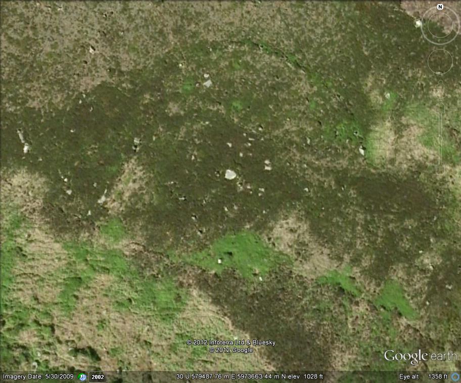
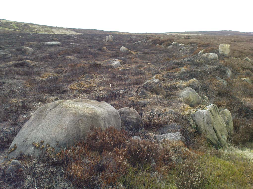
When the normal moorland vegetation covers this prehistoric site, you’d barely know there was anything here apart from various rocky rises and undulations in the ground and perhaps, if you were seeking out old stuff, what would seem to be lines of stone walls bending away onto the moor. But when the heaths have been burnt back, a whole new vista unfolds itself! You see before you a fantastic, well-preserved, unexcavated prehistoric enclosure, whose origins are probably neolithic, but whose history and use stretched through the Bronze Age and into the Iron Age—and it’s not alone! East, west and south of this particular enclosure, other prehistoric walled structures are found stretching all across the landscape hereby, structurally similar and also used over very long periods in prehistory. For antiquarians and historians alike, this is a truly impressive place indeed. In all honesty, the description I give here does not do the place justice!
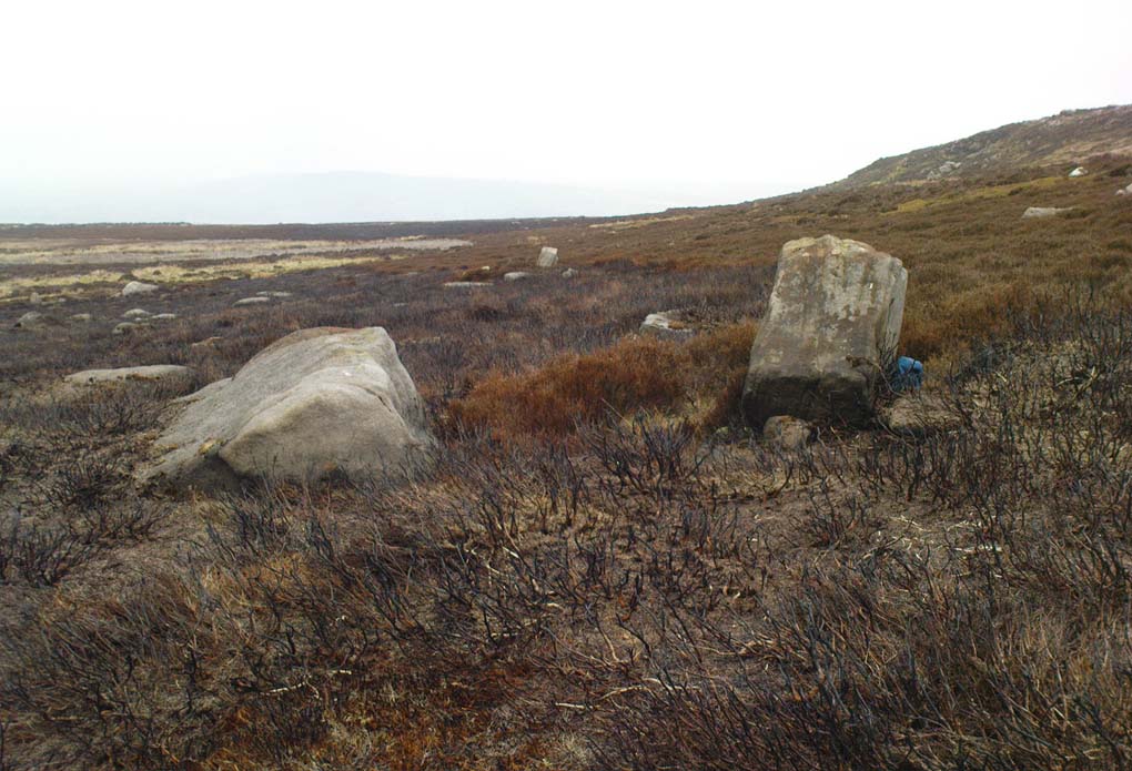
Northwestern section of enclosure walling
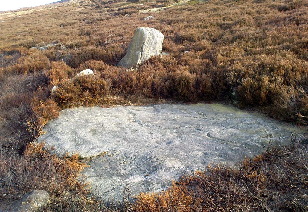
Things like ‘settlements’ and ‘enclosures’ are traditionally relegated by purist archaeologists to be little more than domestic or utilitarian sites: places where our ancestors kept cattle; or were used for defensive purposes; or lived for long periods of the year. Of course, these simple ideas are effective and true at some places; but here at Woofa Bank—in this particular enclosure—something more than just domestic activity was enacted, and over the period of many centuries by the look of things. We surmise this by the incidence of at least fifteen cup-and-ring stones being found within the enclosure itself; and at its very centre is a small standing stone, not previously recorded, that has perhaps five petroglyphs around it. The presence of such a large cluster of cup-and-ring stones close together within the enclosure would seem to suggest ritual activity.
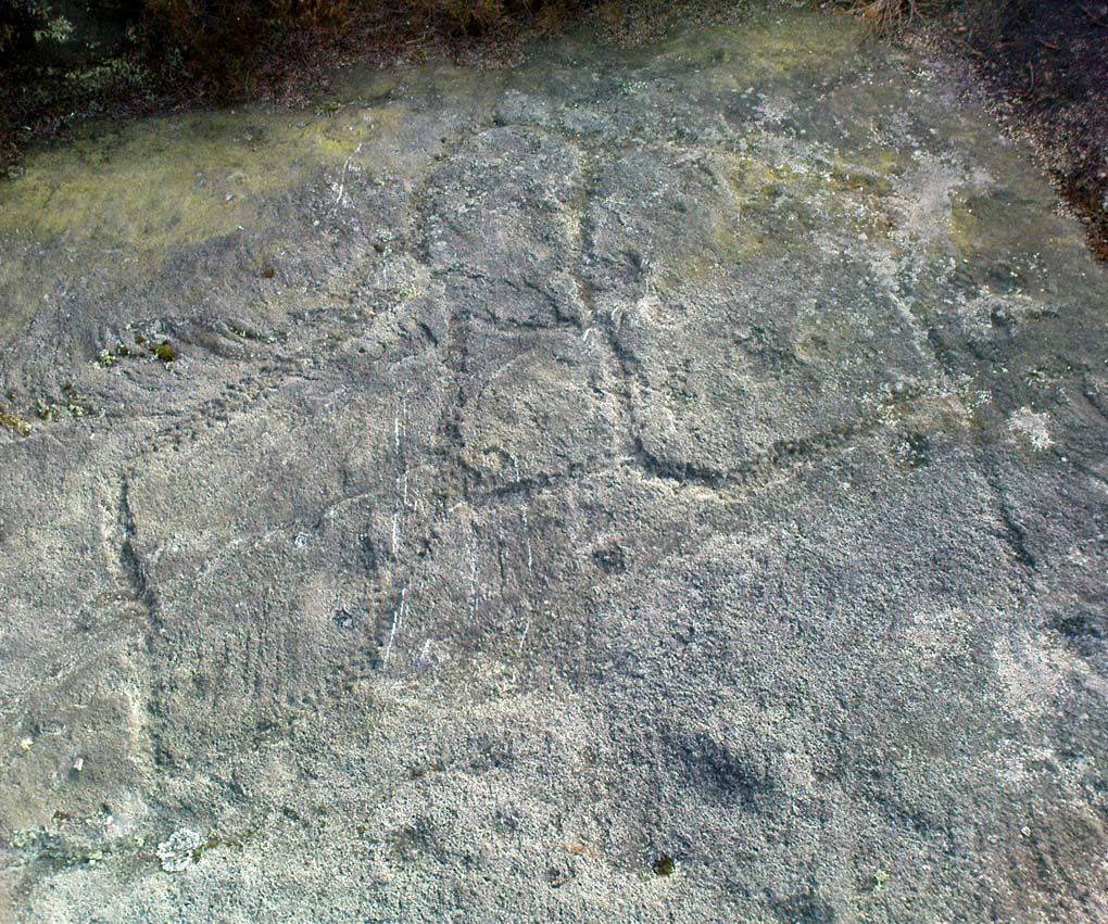
Carved rock & central stoneClose-up of, dancing anthropomorphic figure?
One of the carvings at the centre of the enclosure (listed in the Boughey & Vickerman survey as Carving 372) has been suggested to represent a dancing human figure (the image here shows the anthropomorphic element), which it may well be. The incidence of this central stone and its surrounding petroglyphs has important magico-religious implications, relating it as a site used for creation myth narratives and repetitions (transpersonal explorations at this site may prove worthwhile). The wider extended enclosure with more petroglyphs contained inside it, suggest that additional ritual performances were enacted here; these may have had something to do with the cluster of prehistoric tombs scattered on the moorland plain 100 yards to the west, but we might never know.
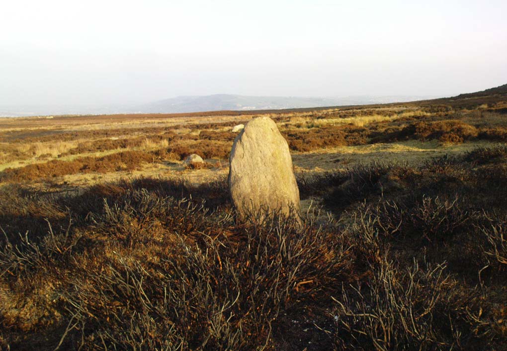
Easternmost standing stone
It seems that the walled enclosure itself was constructed around the earlier cup-and-ring stones, probably many centuries later—but we need excavations here to give us more precise details. Much of the enclosure walling itself has the hallmarks of being late Bronze Age to Iron Age, whilst we know that prehistoric rock art can date back into the neolithic period; and from this period Eric Cowling (1946) reported that, at Woofa Bank, “at the western end of the ridge,” just above this enclosure, a neolithic flint site existed.
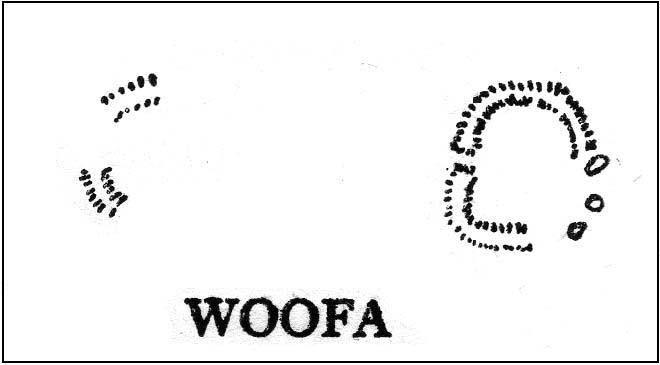
Cowling’s 1946 plan
Cowling (1946) himself was one of very few archaeologists to even mention this impressive site, in a section exploring the “Iron Age” sites along Green Crag Slack at the eastern end of Ilkley Moor. He wrote:
“At the other end of the site under the shadow of Woofa Bank and near the source of the Rushy Beck, is another D-shaped enclosure apparently unfinished. The plan is of a circle with a flattened side and does not exceed twenty-four yards across in any direction. Here the enclosing wall shows five or six courses at the lower end side and a simple entrance to the west.”
Western entrance to enclosureStone marking eastern entrance
Though Cowling’s measurements are way out! The enclosure itself is much larger than he describes. For the most part, three-quarters of it give the impression of it being a large oval shape, but the design and outline of the walling changes on its southeastern side and kinks inward, in an arc, to eventually meet the walling in the middle eastern section. Its entire circumference measures approximately 220 yards all the way round; it is 65 yards across east-west; and about 61 yards north-south. The average height of the main walling is between 2-3 feet tall, and is made up of many large rocks, some of them positioned upright as standing stones, all packed together with earth and countless thousands of smaller stones. The walling itself is between 2-3 yards wide in many places and has two main entrances: one near the middle of the western wall and the other almost opposite to the east. The eastern entrance is marked by a standing stone between 3-4 feet tall. No gaps are visible at all on the northern curved section of the enclosure. On the overgrown southern edges, not all of the walling is visible and much of it is overgrown. On the whole it’s still very much as Cowling found it, with the arc of walling in this part of the enclosure difficult to make out clearly. There is also another line of walling that runs off to the east, beyond the main enclosure itself.
Carved rock in western wall
The clearer, more visible western line of walling, running south of the entrance on that side, has a large singular cup-and-ring stone laid right along its axis (carving 366 in the Boughey & Vickerman [2003] survey), a short distance before the walling changes direction east-west and runs along the bottom of the slope.
Folklore
Tradition tells that the tribal people from this site were involved in a battle with the Romans along this moorland plain.
References:
Bennett, Paul, The Old Stones of Elmet, Capall Bann: Chieveley 2001.
Boughey, Keith & Vickerman, E.A., Prehistoric Rock Art of the West Riding, WYAS: Wakefield 2003.
Cowling, Eric T., Rombald’s Way, William Walker: Otley 1946.
Eliade, Mircea, Images and Symbols, Harvill Press: London 1961.
Hedges, John (ed.), The Carved Rocks on Rombalds Moor, WYMCC: Wakefield 1986.
Size, Nicholas, The Haunted Moor, William Walker: Otley 1934.
From Threshfield, go up Skirethorns Lane for about 1/2 mile, where the lane takes a sharp right. Continue uphill for nearly 2 miles to a metal gate. Go through the gate into the fields on your left where you’ll see this pair of curious standing stones ahead of you (if you keep walking uphill in the same direction, you’ll reach the impressive Hammond Close enclosure above you).
Archaeology & History
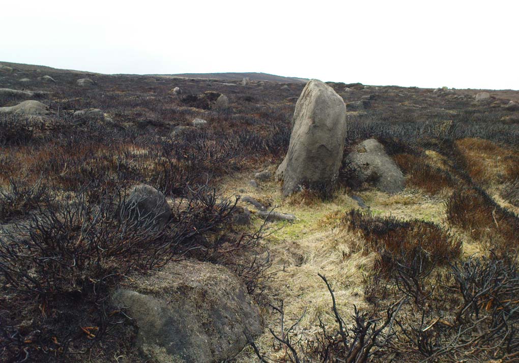
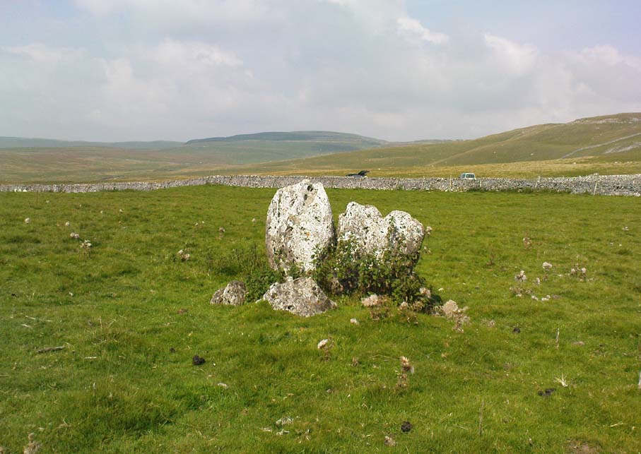
There seem to be no references in either archaeology or geology texts about this site which, when you approach it and consider the prevalence of other prehistoric sites all round you, strongly suggests that they are either archetypal standing stones, or the remains of a collapsed cairn, with the surrounding mound removed. This is certainly the case at the Druid’s Altar or Bordley Circle visible a few hundred yards west of here, on the same grassland plain.
The stones alone, looking north
As you can see in the photos, the stones here are 4 feet tall and stand in isolation from the excess of neighbouring settlements and enclosures. A scatter of small stones—perhaps packing stones, perhaps the remains of cairn-spoil—is evident at the foot of the stones. It was initially thought that the uprights here could have been the remains of enclosure or settlement walling, as we find an excess of such remains on the hills here, but this isn’t the case. Other unrecorded prehistoric remains scatter this part of the countryside.
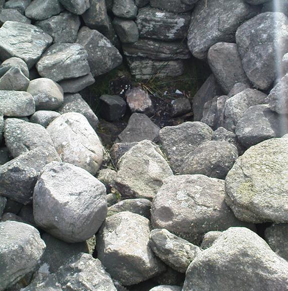
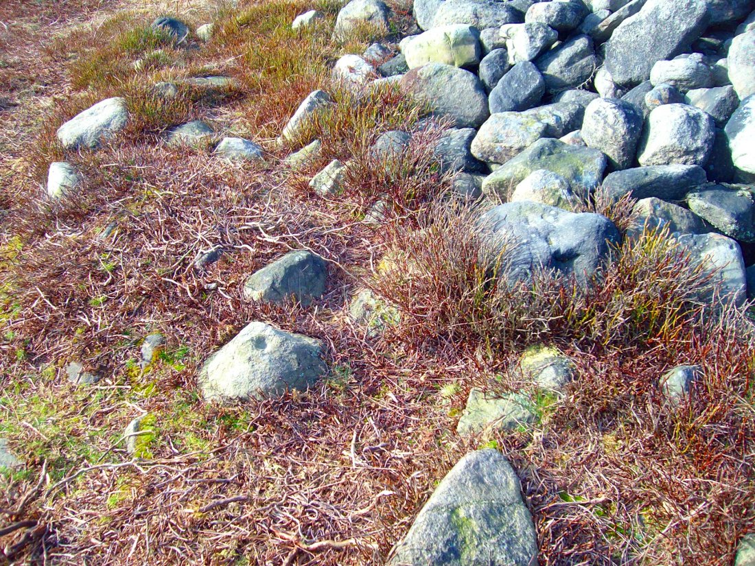
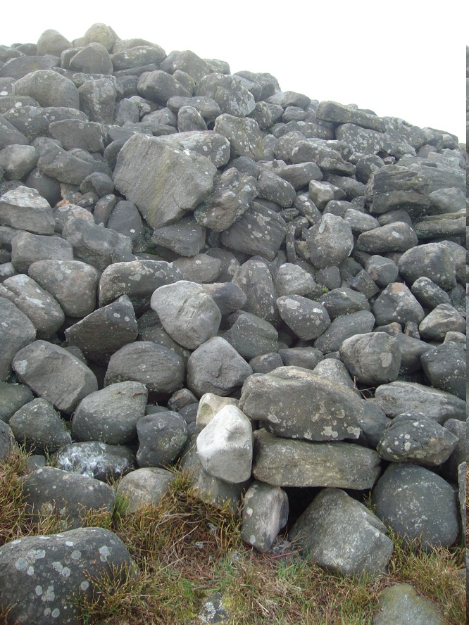
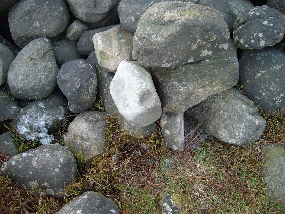
Follow the directions to reach the Little Skirtful of Stones giant prehistoric cairn. Once here, look for the singular rocks out of the many thousands which make up the giant cairn, mainly from the middle to the northern-half of the cairn, and you’ll find them amidst the mass!
Archaeology & History
Cup-marking near the centre of the cairn
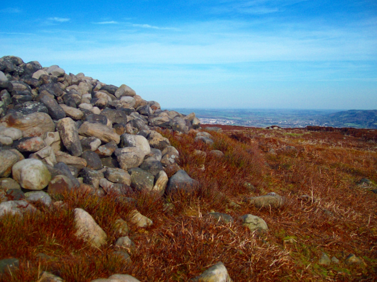
Despite the task sounding difficult, it’s not too hard locating the cup-marked rocks within this giant cairn. As I recall there should be five of them, though the Boughey & Vickerman (2003) survey only list four and I only have photos of four of them as well…so I reckon age is probably getting to me at last! There could very well be more of them amidst this massive tomb. But we certainly can’t rely on the Boughey & Vickerman (2003) survey for the carvings at this site as they give the wrong grid references for each of the cup-markings listed, with them all being a kilometre east from the site of the tomb itself! Awesome! God knows what their cartographer was on when he did the profiles for these carvings! (there are plenty of spliff-butts scattered over this moor…..) Not only that, but the position they cite of the relative cup-markings within the cairn are also wrong.
Another portable stoneCup-mark at outer edge
But for those of you who like to know the archaeological data, here’s what was said: Carving 391a is a “small rock towards SW edge of cairn, with single worn cup”; but this stone is actually closer to the northern section of the cairn. Carving 391b was told to be a “small dome-shaped rock at extreme S edge of cairn with single, small clear cup at top of dome.” This again is more on the northern section of the cairn, away from the centre. Carving 391c was described as a “small oval, rounded rock at N edge of cairn, with single, broad, shallow worn cup.” Whilst carving 391d which was told to be a “small rock at SSE edge of cairn, with single small worn cup.” However, we have to take into account that any errors about their position may simply be down to the fact that the small rocks have been moved.
Smoothed cupShowing different rock-type
As you’ll see in the photos here, one of them is actually near the very centre of the cairn, with the cup-marking etched into the edge of the small rock itself. I’m not quite sure if this is the additional fifth carving in the cairn, or whether it’s one of those wrongly ascribed as being in another position. It’s hard to tell, as the local Ilkley Archaeology team don’t publish their findings and information on-line as they should do and unless you’re in their little club they’re hard to get info out of. So this will have to do for the time being I’m afraid. Also note how one of the cup-marked stones is of a rock-type different to the local millstone grit.
Folklore
The creation myth of the Little Skirtful itself tells that the giant Rombald (who gives his name to the moor) was in trouble with his wife and when he stepped over to Almscliffe Crags from here, his giant wife – who is never named – dropped a small bundle of stones she was carrying in her apron. Harry Speight (1900) tells us of a variation of the tale,
“which tradition says was let fall by the aforementioned giant Rumbalds, while hastening to build a bridge over the Wharfe.”
Variations on this story have said it was the devil who made the site, but this is a denigrated christian variant on the earlier, and probably healthier, creation tale. Similar tales are told of the Great Skirtful of Stones, 500 yards south.
The cluster of portable small stones with single cup-marks on them relates to traditions found in other cultures in the world where, usually, women would carry such items in their aprons and deposit them at or on the tomb, in honour of the ancestor or spirit known to be resident at the sacred site. The folklore found at the Little Skirtful (and Great Skirtful too) of Rombald’s wife dropping the rocks here and forming the giant tomb, probably derive from variants of this same honorary practice.
References:
Bennett, Paul, The Old Stones of Elmet, Capall Bann: Chieveley 2001.
Boughey, Keith & Vickerman, E.A., Prehistoric Rock Art of the West Riding, WYAA 2003.
Cowling, Eric T., Rombald’s Way, William Walker: Otley 1946.
From Dollar, take the steep road up to Castle Campbell (ask a local if you get lost). When you’ve got into the building and paid your fiver, walk straight forward as if you’re heading to the front gardens, but stay within the castle by walking left on the inner-front section of the building, all the way along to the dark room in the far corner at the end of the path. Just before you walk into the end room, look at the ground rock beneath your feet.
Archaeology & History
My first and only visit to the superb half-restored ruins of Castle Campbell was in the company of the author Marion Woolley. It was a damn good day and the castle here is really worth checking out! But as Marion and I wandered the grounds and internal remains, my eyes caught sight of what looked like a cluster of cup-markings, never previously recorded, on a section of earthfast rock over which a section of the Castle had been built.
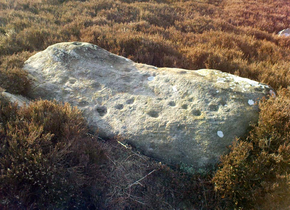
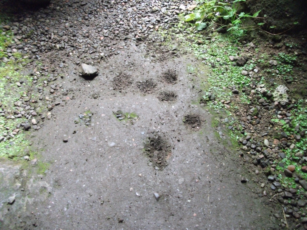
A distinct arc of at least four cup-marks was accompanied with outlying single cups on either side of it. Beneath the gravel it seemed that more were waiting to be be unearthed—but we left them alone. As you can see in the photo here, the cup-marks seem typical of those we find in their thousands across northern Britain. However, the rock hereby is volcanic and conglomerate and may be the result of such natural processes. I’m truly not sure. A local archaeologist in Stirling thought the carving looked authentic – but we need to return here and brush off the rest of the gravel to see in greater detail the extent of the cups. There seemed to be more of them hiding at the edges.
If anyone finds out more about this, or gets some better photos, or ascertains this as a simple geophysical artifact, please lemme know.
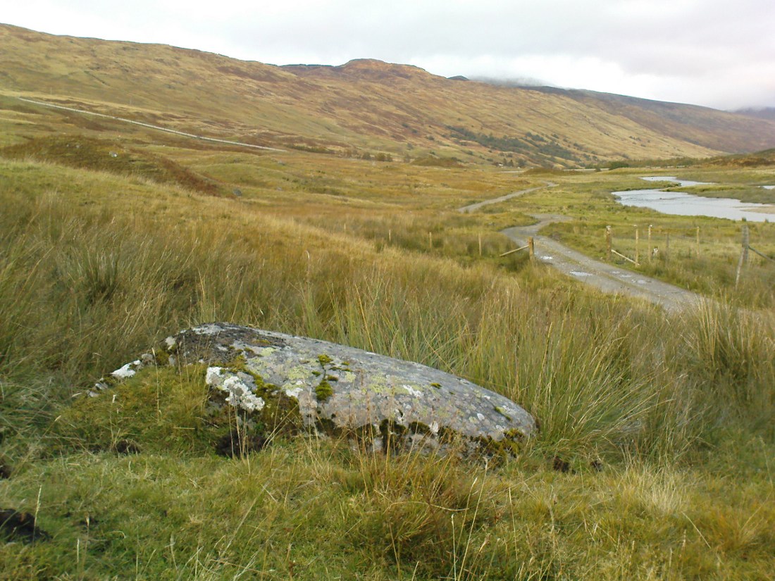
From Killin heading out along the northern Loch Tay road, turn left just past the Bridge of Lochay hotel and go right to the very end of Glen Lochay, just past Kenknock. From here you’ve gotta keep walking along the glen’s dirt-track, and when you go through the third gate along (about a mile), another 100 yards on, keep your eyes peeled for a reasonably large boulder on the left of the track. This is your marker to go up on the right-hand side of the track, where the large stone is about 20 yards up the slope.
Archaeology & History
Three cup-marks & their lichen
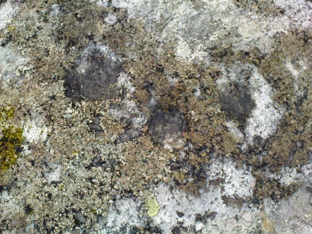
Not far from a prehistoric hut circle relocated by archaeologist Dugald MacInnes I found this, a previously unrecorded cup-marked stone, when I was ambling about around the top of this beautiful valley last week. It’s only a simple cup-marked stone with two very distinct cups and a probable third in the middle of the well-defined ones. A covering of aged lichen was living on the carved rock and it seemed that there may have been other cups beneath the lichen — but I’ve got a real love of these old plants and wasn’t about to tear them from their homely stone.
There are some other little-known unrecorded human remains all along the slopes above here, which I’ll have a look at when next up this Valley of the Black Goddess…