Langside Farm, Lanark, Lanarkshire

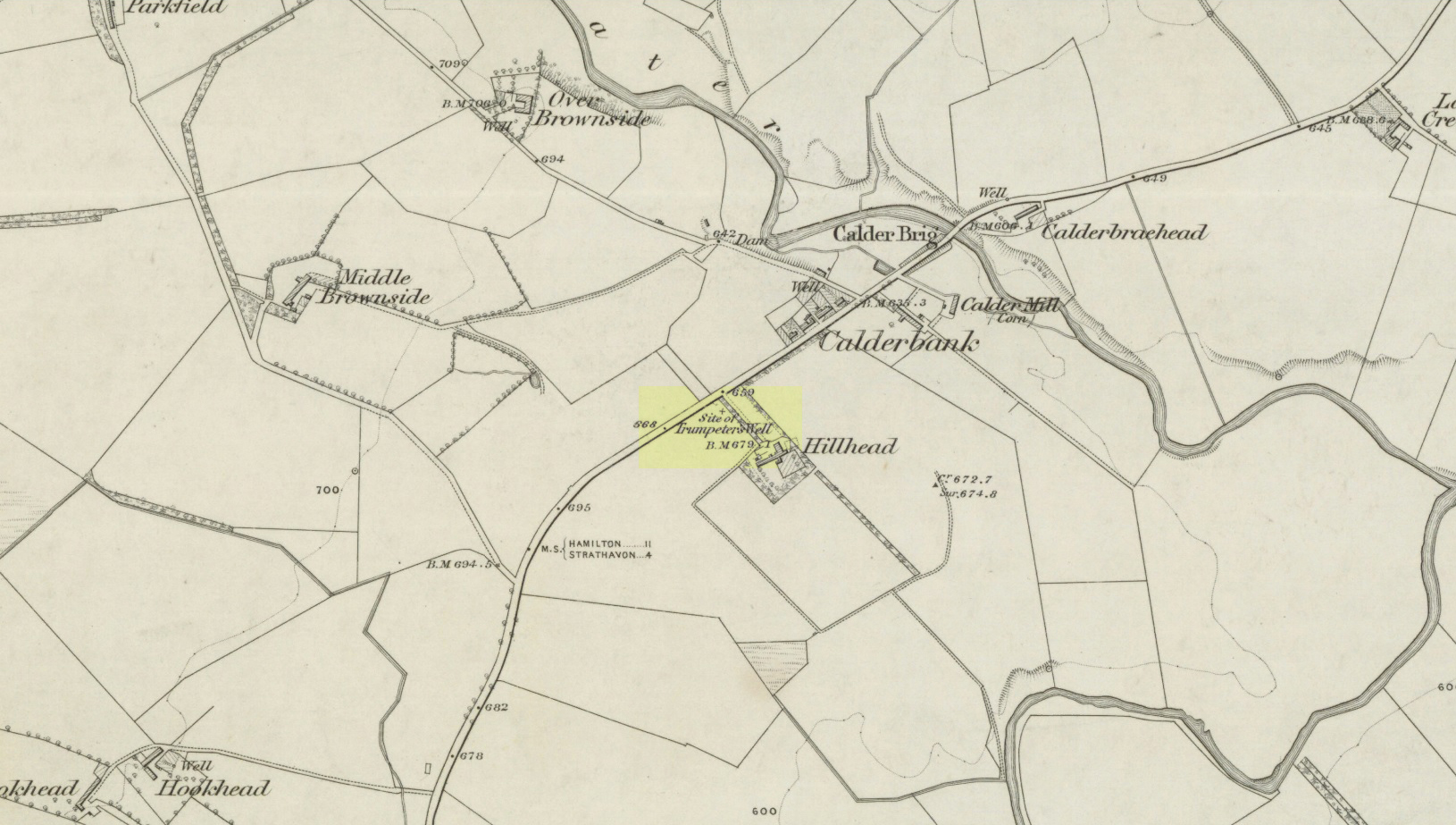
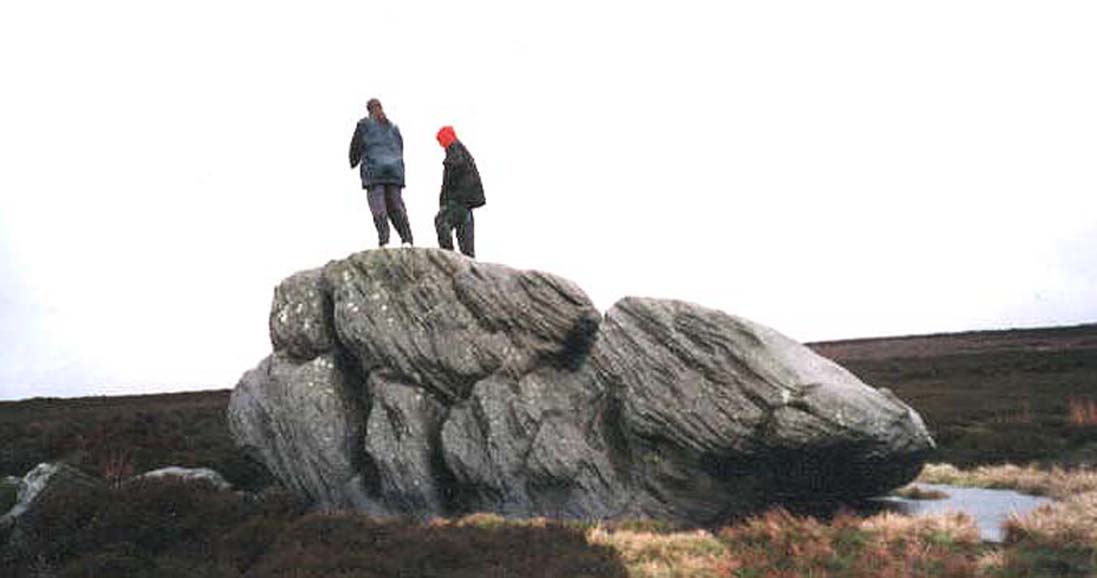
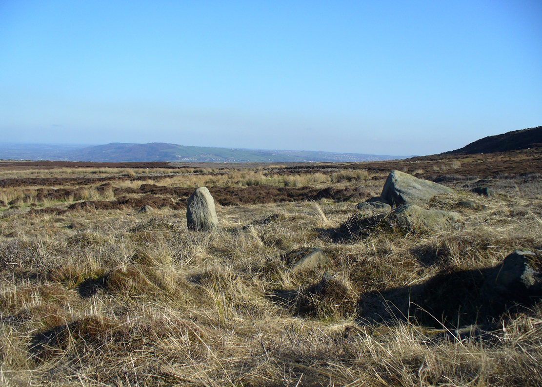
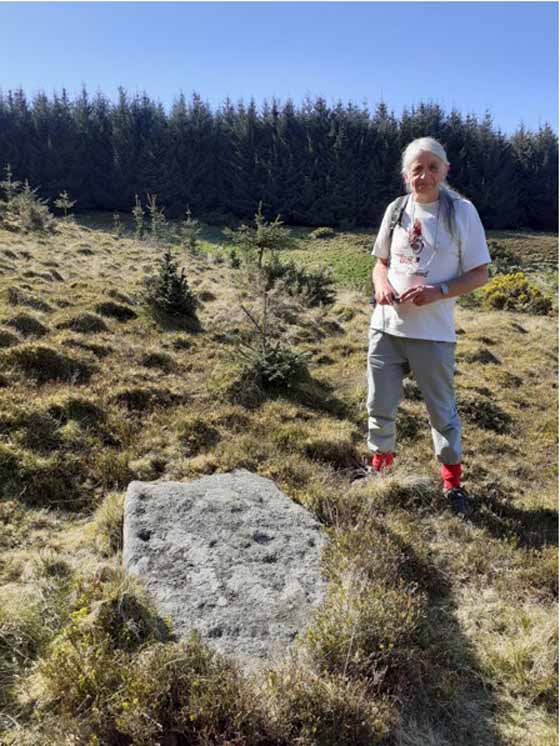
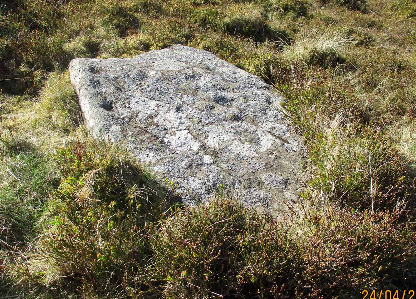
Cairn (destroyed):  OS Grid Reference – NS 866 411

Archaeology & History

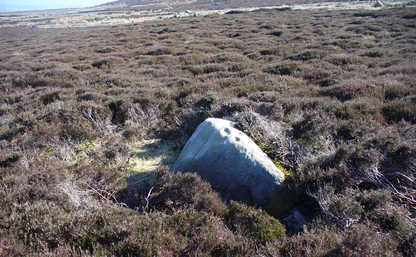
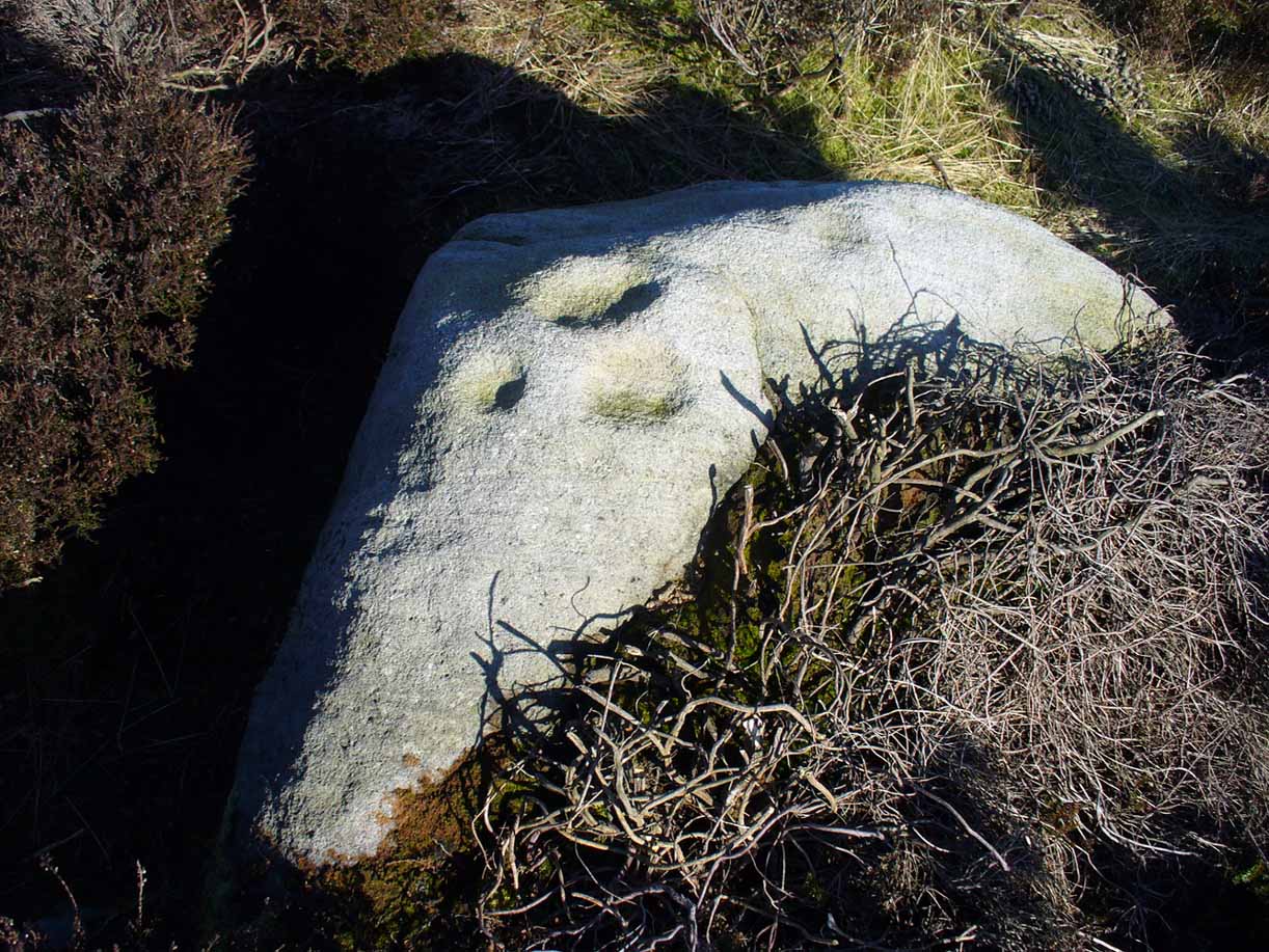
This was an impressive site by the sound of things.  Sadly destroyed, its exact whereabouts isn’t clear but should—if the description of the site is anything to go by—be on one of the highest points of land around Langside Farm.  In Irving & Murray’s description (1864), they tell the cairn to have been one amidst a cluster of tombs that could once be seen “a mile to the south of his residence”, but this seems to be contested by the definitive pen of the Lesmahagow historian, John Greenshields. (1864)  He told us:

“The late Lord Corehouse had an excavation scientifically made of a karn or cairn on his farm at Longside.  It is to be regretted that information cannot now be obtained of so accurate a nature as the subject merits; but there were stones so arranged in the centre as to have been evidently intended for sepulchral purposes.  Two rude urns of baked clay, one very large, the other smaller, were found inside a stone coffin.  The small urn contained bones partially calcined and broken or pounded, some of them perfectly fresh.  It has been erroneously stated in Swan’s “Views of the Clyde,” that there were eighteen small urns around the large chest, in the form of a circle, which gave rise to the idea that the remains of the chief had been surrounded by those of his family or warriors. One of the urns has been lost sight of: the smaller one, about 6 inches in diameter at the top, and 4 in height, is now in the possession of Miss Edmondstoun Cranstoun, as well as a still smaller funerary urn, recently restored by kiln-burning it with some fresh clay.”

References:

  1. Greenshields, John B., Annals of the Parish of Lesmahagow, Caledonian: Edinburgh 1864.
  2. Irving, George V. & Murray, Alexander, The Upper Ward of Lanarkshire, Described and Delineated – volume 1, Thomas Murray: Glasgow 1864.
  3. Royal Commission on the Ancient and Historical Monuments of Scotland, Lanarkshire: An Inventory of the Prehistoric and Roman Monuments, HMSO: Edinburgh 1978.
  4. Swan, Joseph, Views on the Clyde – Historical and Descriptive, Joseph Swan: Glasgow 1830.

© Paul BennettThe Northern Antiquarian


Eastwood Farm, Lesmahagow, Lanarkshire

Cist (destroyed):  OS Grid Reference – NS 821 396

Archaeology & History

When the local historian John Greenshields (1864) wrote his definitive history of Lesmahagow parish, the book was just going to press when the remains of an ancient tomb was unearthed.  We are fortunate that he held publication of the book before adding the brief information about the findings.  He told us:

“When these pages were passing through the press, a stone cist was discovered on the farm of Eastwood, by the hollow sound emitted when the ploughshare struck its lid.  It was of the usual dimensions (about three feet by two), and contained fragments of bones, and a cinerary urn.  There were no indications that a cairn had ever been heaped on its top, but the stones may have long since been removed, as the field was in a high state of cultivation. The bones were much decayed, and the urn was shivered to fragments by the finder, in his anxiety to discover hidden treasures of gold or silver.”

No further information is known to exist about this site.  In all probability the cist was Bronze Age in nature, possibly earlier.  We surmise this from the rapid rate of decay of artefacts upon it being unearthed.

References:

  1. Greenshields, John B., Annals of the parish of Lesmahagow, Caledonian: Edinburgh 1864.
  2. Royal Commission on the Ancient and Historical Monuments of Scotland, Lanarkshire: An Inventory of the Prehistoric and Roman Monuments, HMSO: Edinburgh 1978.

© Paul BennettThe Northern Antiquarian


Trumpeter’s Well, Strathaven, Lanarkshire

Healing Well:  OS Grid Reference – NS 66014 41685

Also Known as:

  1. Canmore ID 203472

Getting Here

Trumpeters Well on 1864 map

Take the A71 road southwest out of Strathaven as if you’re heading to Kilmarnock.  After 2½ miles (4.1km) you reach the tiny hamlet of Caldermill (be careful or you’ll truly miss it!).  As you go out of the hamlet, on your left there’s a track up to Hillhead Farm with the small but tell-tale signpost saying ‘Trumpeter’s Well’ and the small dome-shaped stone monument in the field is what yer looking for.  If you’re coming from the Kilmarnock side, when you reach the Caldermill sign, it’s in the field immediately to your right.  Y’ can’t really miss it.

Archaeology & History

When the site was surveyed by the Ordnance Survey lads in the 1850s, the water supply had completely run dry.  It was later revived and the nine-foot tall circular stone building built to commemorate its history.  The water apparently now runs within the building, being supplied from Hillhead Farm.

Trumpeters Well, Caldermill

Folklore

The well is said to have gained its name after the local Battle of Drumclog (1679), when one rich Tory known as John Graham of Claverhouse was retreating for fear of his life; and because his own horse had been killed, the coward stole the horse of his young fourteen-year-old trumpeter.  In doing so, the young lad was subsequently killed and his body was thrown down the well.  Tradition also tells that other soldiers were buried in the same field.

References:

  1. Campbell, J. Ramsey, My Ain, My Native Tour – Stra’ven, J.M. Bryson: Strathaven 1943.

© Paul BennettThe Northern Antiquarian

St. Bride’s Well, Avondale, Lanarkshire

Holy Well (destroyed):  OS Grid Reference – NS 6983 4138

Archaeology & History

St Brides Chapel & Well on the 1864 OS-map

Shown on the 1864 OS map of the area as a ‘Well’ just at the front of St Bride’s Chapel—now a very pleasant old cottage—peasants and pilgrims would stop for both refreshment and ritual here as they walked down High Kype Road.  Although the chapel was described in church records of January 1542 as being on the lands of Little Kype, close to the settlement of St Bride, there seems to be very little known about the history or traditions of the well.  If anyone has further information on this site, please let us know.

Folklore

Bride or Brigit has her origins in early British myth and legend, primarily from Scotland and Ireland.  Her saint’s day is February 1, or the heathen Imbolc (also known as Candlemas).  Although in christian lore St. Bride was born around 450 AD in Ireland and her father a Prince of Ulster, legend tells that her step-father (more probably a teacher) was a druid and her ‘saintly’ abilities as they were later described are simply attributes from this shamanic pantheon. Legends—christian and otherwise—describe Her as the friend of animals; possessor of a magickal cloak; a magickian and a healer; and whose ‘spirit’ or genius loci became attached to ‘sacred sites’ in the natural world, not the christian renunciation of it.  St Bride was one of the primal faces of the great prima Mater known as the Cailleach: the greater Gaelic deity of Earth’s natural cycles, whose changing seasons would also alter Her names, faces and clothes, as Her body moved annually through the rhythms of the year.  Bride was (and is) ostensibly an ecological deity, with humans intrinsically a part of such a model, not a part from it, in contrast to the flawed judaeo-christian theology.

References:

  1. Paul, J.B. & Thomson, J.M., Registrum Magni Sigilli Regum Scotorum: The Register of the Great Seal of Scotland AD 1513 – 1546, HMGRH: Edinburgh 1883.

© Paul BennettThe Northern Antiquarian


Chellow Heights, Heaton, Bradford, West Yorkshire

Cist (destroyed):  OS Grid Reference – SE 117 353

Archaeology & History

High up in the landscape on the northwestern edges of Bradford, where we now find the Chellow Heights reservoirs, ancient man saw fit to place the remains of their dead.  It’s in a damn good location too, typical of burial sites.  The views to the immediate north are directly at Rombalds Moor where, as we all know, Bronze Age and other prehistoric remains are found in huge numbers.

It was during the construction of the Chellow Heights reservoirs when the site was uncovered.  Twas here, in June 1921, where segments of three urns and,

“an incomplete incense cup, 2 inches high and 3 inches diameter at its base, were found together with partly burnt bones”,

of what were thought to be a young female adult. There are few other details.  The fact that there was no mention of any covering mound, nor mass or stones, strongly implies that neither a tumulus or cairn covered these urns—and neither place-name evidences nor early maps indicate anything to suggest such a monument—so it would be fair to surmise they had been deposited in a stone cist.

References:

  1. Barnes, Bernard, Man and the Changing Landscape, Merseyside County Council 1982.
  2. Longworth, Ian, Collared Urns of the Bronze Age in Great Britain and Ireland, Cambridge University Press 1984.
  3. Rowe, J.H., “An Ancient Burial at Chellow, near Heaton,” in Heaton Review, volume 2, 1928.

© Paul BennettThe Northern Antiquarian

Two Eggs, Morton Moor, West Yorkshire

Legendary Rocks:  OS Grid Reference – SE 1058 4490

Getting Here

Two Eggs on 1851 map

By whichever route you wanna take, get y’self to the prominent cup-and-ring marked rocks known as the Thimble Stones near the very top of these moors. From here, walk roughly 400 yards southwest onto the bare open moors (there are no footpaths here) and you’ll see these two isolated prominent boulders living quietly on their own.  You can’t really miss ’em!  You’re there.

Archaeology & History

Of the two giant boulders here, both are included in the petroglyph surveys of Hedges (1986) and Boughey & Vickerman’s (2003) as possessing “all natural” cup-marks on their top and vertical surfaces.  Those on top of the rocks certainly seem to be Nature’s handiwork, whilst many of the seeming ‘cups’ on the vertical face of one (not the one pictured here) are due to gunshots.  I’m not quite sure when they were done, but they certainly didn’t exist during the many visits I made here in the in the 1970s and ’80s.

They stones included in most of the standard antiquarian surveys of the 19th century, with the earliest being Forrest & Grainge (1869) who described them as,

“two detached masses of rock, standing alone upon the moor.  The first is 14ft in length by 8ft in height, tapering to the ground; a set of cups and channels occupy the highest point.  The other, distant 13 yards, is of an irregular square form, 45 yards in circumference and 7ft high.  This stone appears to be tilted on its edge, presenting its cleavage upwards, and has hollows containing water, but is so much wasted above that if it has ever borne the cups and channels, they are now obliterated.”

On top of an Egg, c.1986

Collyer & Turner (1885) described “a number of cups” on the edge of the northern rock; and Romilly Allen (1896) likewise.  Even that historical literary giant, Harry Speight (1900), added his own tuppence here, telling folks how both Eggs “are channelled and bear cups.”

It’s very possible that these isolated stones did have some sort of significance to our prehistoric ancestors.  There are innumerable examples worldwide of rocks like this possessing ritual and mythic lore—and many in the British Isles too.  And the cupmarks on the stones may have been enhanced by those same prehistoric ancestors.  But we’ll never know for sure…

Folklore

The creation myth behind the Two Eggs is one echoed in traditions across the world.  Folklore tells that the Eggs were said to have been laid here by a great dragon who lived within a hill some distance to the south.  All other aspects of the tale have sadly long since been forgotten…

References:

  1. Allen, J. Romilly, “Cup and Ring Sculptures on Ilkley Moor,” in The Reliquary, volume 2, 1896.
  2. Bennett, Paul, The Old Stones of Elmet, Capall Bann: Milverton 2001.
  3. Boughey, Keith & Vickerman, E.A., Prehistoric Rock Art of the West Riding, WYAS: Wakefield 2003.
  4. Collyer, Robert & Turner, J.H., Ilkley: Ancient and Modern, William Walker: Otley 1885.
  5. Forrest, Charles & Grainge, William, A Ramble on Rombald’s Moor, Northern Antiquarian: Bradford 2012 (1st published 1867-69).
  6. Hedges, John (ed.), The Carved Rocks on Rombalds Moor, WYMCC: Wakefield 1986.
  7. Speight, Harry, Upper Wharfedale, Elliott Stock: London 1900.

© Paul BennettThe Northern Antiquarian


East Wall Stone, Burley Moor, West Yorkshire

Cup-Marked Stone:  OS Grid Reference – SE 13924 45493

Getting Here

East wall stone on the right

Follow the directions to reach the impressive Woofa Bank prehistoric enclosure.  You need to find the walling that constitutes the enclosure itself and walk along to its eastern side where you’ll reach an ‘opening’, as if it may once have been an entrance at that side of the enclosure.  A reasonably large sloping rock is on one side of this ‘entrance’.  You can’t really miss it!

Archaeology & History

Unlike many of the other petroglyphs found within the Woofa Bank enclosure, the design on this one is faint — very faint indeed (much like the recently uncovered triple-ring petroglyph by the Thimble Stones).  Comprising simply of a small cluster of cup-marks, you’ll struggle to see this one — unlike its compatriot on the western wall of the enclosure.

Looking down on the rock
Some very faint cupmarks

It consists of a single cup-mark on the northern edge of the stone, whilst on the sloping southern part of the rock are a number of very faint cups, eroded by them there millenia of Nature’s wind and weathering.  One or two of the cups are just visible in good lighting, but what are almost certainly a few more can be seen when the rock is wet and in low daylight hours.  It’s a design that’s probably only of interest to the hardcore petroglyph fanatics, but without doubt this is yet another carving within this obviously important prehistoric enclosure.

© Paul BennettThe Northern Antiquarian

Deer Track Stone, Ilkley Moor, West Yorkshire

Cup-Marked Stone:  OS Grid Reference – SE 13858 45562

Also Known as:

  1. Carving no.190 (Hedges)
  2. Carving no.367 (Boughey & Vickerman)
Carving with Woofa Bank enclosure to rear

Getting Here

The easiest way to find this is to take the same directions to reach the Woofa Bank settlement.  Get your compass out and make sure that you’re at the northern edge of the settlement walling.  From here, walk about 60 yards northwest and keep your eyes peeled for a rock about 2 feet high, curved and elongated with its top surface above the heather.  You’ll find it.

Archaeology & History 

The name I’ve given to this stone is a conjectural one based entirely on comparative petroglyph designs elsewhere in the world.  Or to put it more simply: elsewhere in the world we find examples of prehistoric rock art showing animal tracks and rituals relating to hunting animals, and in the design of this petroglyph on Ilkley Moor I wondered if we might be looking at something similar.  Internationally respected anthropologists, archaeologists, geologists and rock art specialists such as Lawrence Loendorf (2008), Polly Schaafsma (1980), Dennis Slifer (1998) and many others show examples of animal tracks in the US and Mexico (examples exist throughout the world), and it’s not unlikely that some of the petroglyphs in the UK represent such things.  But, like I say, this particular carving may have nowt to do with such a thing and the idea is entirely conjectural on my part and is probably way off the mark.

Deer-print motif & cup

Located less than 60 yards (54m) northwest of the impressive Woof Bank enclosure, it’s possible that the first literary note of this was by Stuart Feather (1968) when he made note of five cup-and-ring marked rocks (which) have been revealed by erosion in 1968,” telling us that some of the motifs on the rocks included cups with and without rings, channels and eye-shaped marks (occuli)— the latter of which may relate to this stone.

A more definite description of the stone was made in John Hedges (1986) survey where he described it in that usual simplistic form, telling us: “Long rock, its surface on two levels, sloping N to S in heather.  Two large oval cups and one cup at N end.  One clear cup at S end.”

Hedges’ 1986 sketch

It is these two elongated cups that have the distinct appearance of deer tracks. (another animal with a similar footprint is the goat)  The cup-mark in front of them and the one at the back of the rock may be something relative to the animal.  But more important than this is to recognise that, in lots of cultures, animal tracks are represented in some petroglyphs.  That’s more important to think about when you look at British rock art, than the improbability of this design being such a thing…

References:

  1. Boughey, Keith & Vickerman, E.A., Prehistoric Rock Art of the West Riding, WYAS: Wakefield 2003.
  2. Feather, Stuart, “West Yorkshire Archaeological Register – Ilkley (WR) Green Crag Slack,” in Yorkshire Archaeology Journal, volume 42, 1968.
  3. Hedges, John, The Carved Rocks on Rombalds Moor, WYMCC: Wakefield 1986.
  4. Loendorf, Lawrence L., Thunder and Herds – Rock Art of the High Plains, Left Coast: Walnut Creek 2008.
  5. Schaafsma, Polly, Indian Rock Art of the Southwest, University of New Mexico Press 1980.
  6. Slifer, Dennis, Signs of Life – Rock Art of the Upper Rio Grande, Ancient City: New Mexico 1998.

© Paul BennettThe Northern Antiquarian

Devil’s Stone, Winceby, Lincolnshire

Legendary Rock:  OS Grid Reference – TF 3127 6901

Also Known as:

  1. Big Stone of Slash Lane

Archaeology & History

Stone shown on 1887 map

There is no specific archaeological information about this stone.  However, we must take note of the so-called “devil’s footprint” that was on the boulder.  In some parts of the UK, some devilish and other mythic footprints on stone are prehistoric cup-markings; but we have no idea whether this impression was such a carving or—more probably in this case—Nature’s handiwork.  The field in which the stone existed was said to be the place where the so-called Battle of Winceby occurred.

Folklore

The stone was mentioned in several old tomes, with each one generally repeating the same familiar story, and with motifs that will be familiar to antiquarians and folklorists alike.  In an early edition of Notes & Queries we were told of,

“the large stone in Winceby field, where soldiers had sharpened their swords before the battle. This was a stone of fearful interest, for much treasure was supposed to have been buried under it. Numerous attempts have been made to get at this treasure, but they were always defeated by some accident or piece of bad luck. On the last occasion, by ‘yokkin’ several horses to chains fastened round the stone, they nearly succeeded in pulling it over, when, in his excitement, one of the men uttered an oath, and the devil instantly appeared, and stamped on it with his foot.  “Tha cheans all brok, tha osses fell, an’ tha stoan went back t’ its owd place solidder nur ivver; an’ if ya doan’t believe ya ma goa an’ look fur yer sen, an’ ya’ll see tha divvill’s fut mark like three kraws’ claws, a-top o’ tha stoan.’  It was firmly believed the lane was haunted, and that loud groans were often heard there.”

The tale was retold in Grange & Hudson’s (1891) essay on regional folklore.  In Mr Walter’s (1904) excellent local history survey, there was an additional shape-shifting element to the story which, in more northern climes, is usually attributed to hare; but this was slightly different.  The stone, as we’ve heard,

“was supposed to cover hidden treasure, and various attempts were made at different times to remove it, sometimes with six or even eight horses. At one of these attempts, his Satanic Majesty, having been invoked by the local title of ‘Old Lad’ appeared, it is said, in person, where upon the stone fell back, upsetting the horses.  On another occasion a black mouse, probably the same Being incarnate in another form…ran over the gearing of the horses, with a similar result.  Eventually, as a last resort, to break the spell, the boulder was buried, and now no trace of the boulder, black mouse, or Satan’s foot-print remains.”

Sadly we have no sketches of the devil’s ‘footprint’; and if local lore is right, we’ll never know.  For tis said that a local farmer in the 1970s dug down and removed the stone completely.  All that he found were numerous broken ploughshares around the rock, indicating that many tools had been used to shift the stone.  In much more recent times however, a fellow antiquarian has said that it can still be found: so, if you can get a good photo of it, stick it on our Facebook group.

References:

  1. Grange, Ernest L. & Hudson, J.C. (eds.), Lincolnshire Notes and Queries – volume 2, W.K. Morton: Horncastle 1891.
  2. Gutch, Mrs & Peacock, Mabel, Examples of Printed Folklore Concerning Lincolnshire, David Nutt: London 1908.
  3. Walter, J. Conway, Records, Historical and Antiquarian of Parishes around Horncastle, W.K. Morton: Horncastle 1904.

© Paul BennettThe Northern Antiquarian

Acknowledgements:  Huge thanks for use of the Ordnance Survey map in this site profile, reproduced with the kind permission of the National Library of Scotland

West Dron Hill, Bridge of Earn, Perthshire

Cup-and-Ring Stone:  OS Grid Reference – NO 11845 15169

Getting Here

West Dron’s petroglyph

In the middle of Bridge of Earn village, take the Heughfield Road until, ⅓-mile on you hit the T-junction.  Turn left along Forgandenny Road and go along the curvaceous road for just over a mile where you need to keep your eyes peeled for the small left turn that takes you up the dead straight road.  At the top, turn left at the junction and go ⅔-mile, turning right at the next junction until after 400 yards you reach the houses on your right.  Go up the footpath opposite the houses (south) until, after nearly 400 yards, it splits.  Bear right and zigzag up the track for nearly a mile till you reach a large opening in the forest.  40 yards up the slope to your left is the stone—at last!

Archaeology & History

After the trail to get here, you might not be overly impressed by what you see – and it’s nothing special to look at to be honest.  But its location is a good one: reasonably high up on a sloping plateau which would have given good views were it not for the surrounding forestry plantations.  The only literary description of the site was the brief one in Discovery & Excavation Scotland, shortly after being rediscovered.  Mrs Johnson (1960) wrote:

Close-up of the carving

“A cup-marked stone was found by Mr. J. R. Morrison on the N side of West Dron hill.  The stone measures approx. 4ft long by 1ft 9in broad.

There are 17 cup-marks: five of which have channels, and two of which are joined in the form of a dumb-bell.  The stone lies with its longer axis NE-SW, and its broad face uppermost.”

Its seeming isolation is a peculiarity that I don’t buy.  Other carvings are going to be in the locale, probably on the same north- or north-east facing ridges – but due to the dense forestry, any other petroglyphs will remain hidden for quite some time…

References:

  1. Johnson, M., “Dron, Perthshire,” in Discovery & Excavation Scotland, SRG 1960.

Acknowledgements:  Huge thanks to Theresa Hughes for the use of her photos of this carving.

© Paul BennettThe Northern Antiquarian