Cup-and-Ring Stone: OS Grid Reference – SE 24610 40721
Getting Here
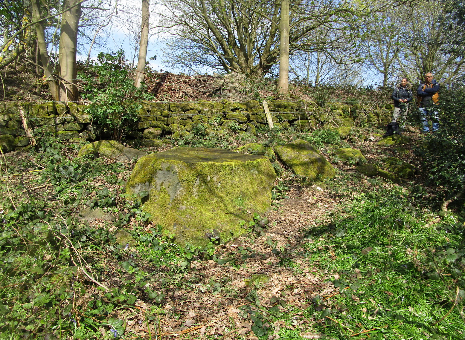
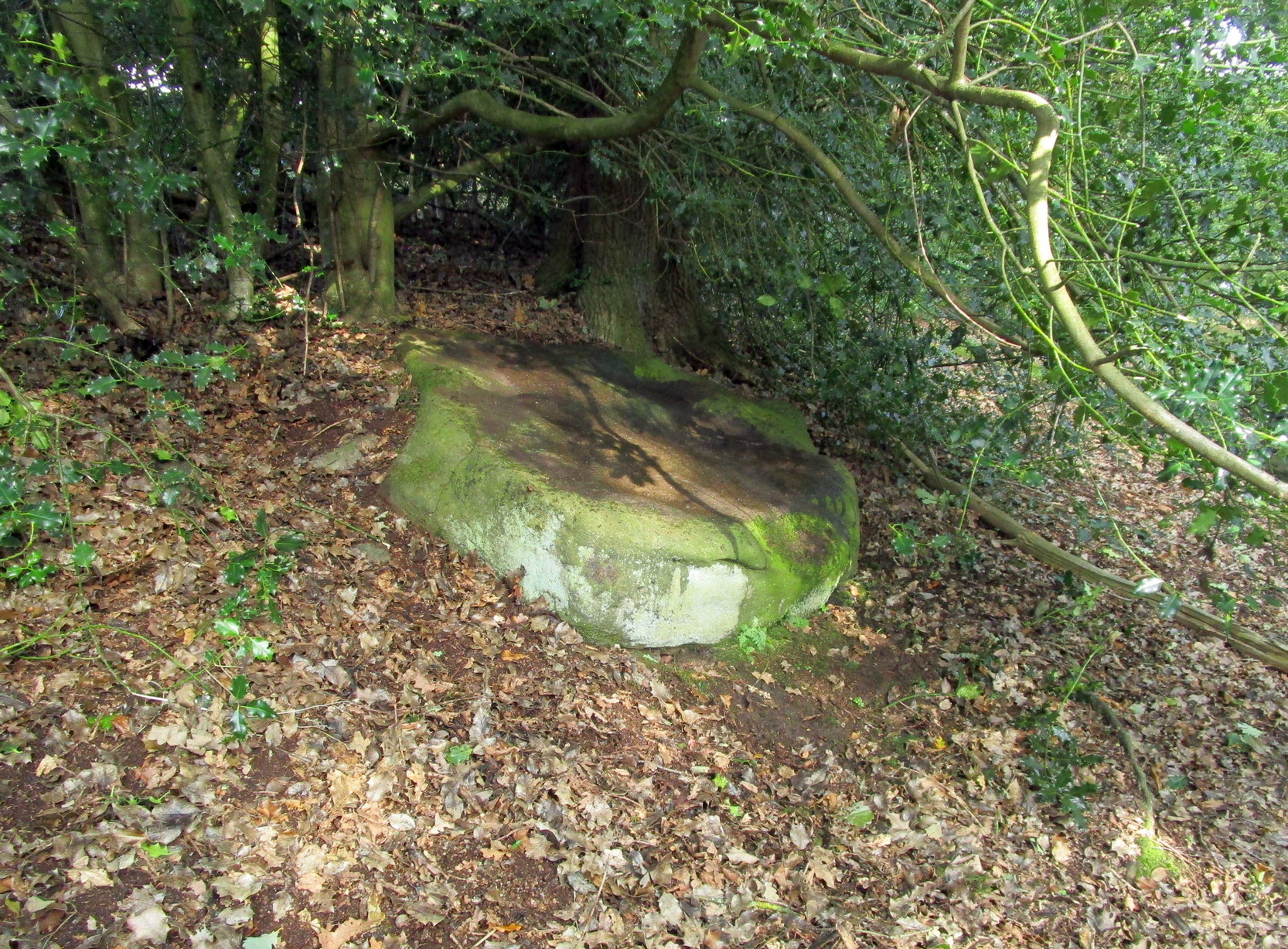
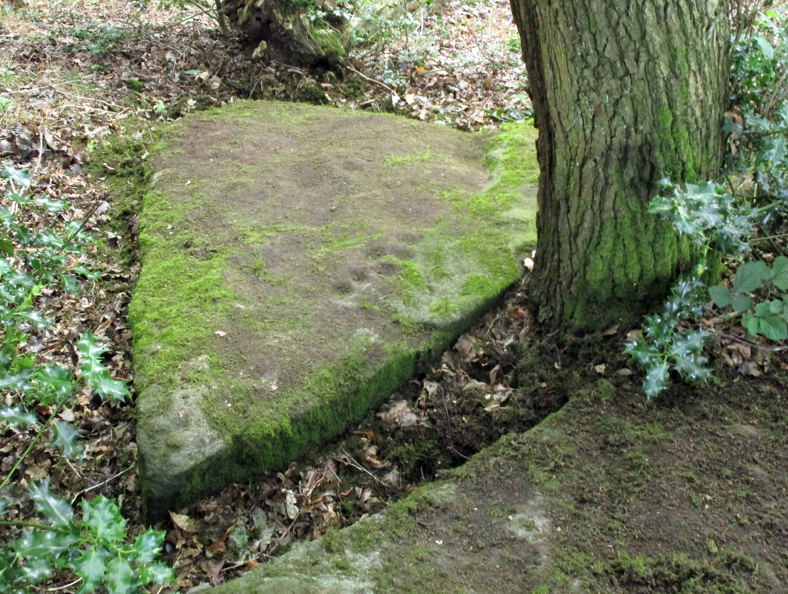
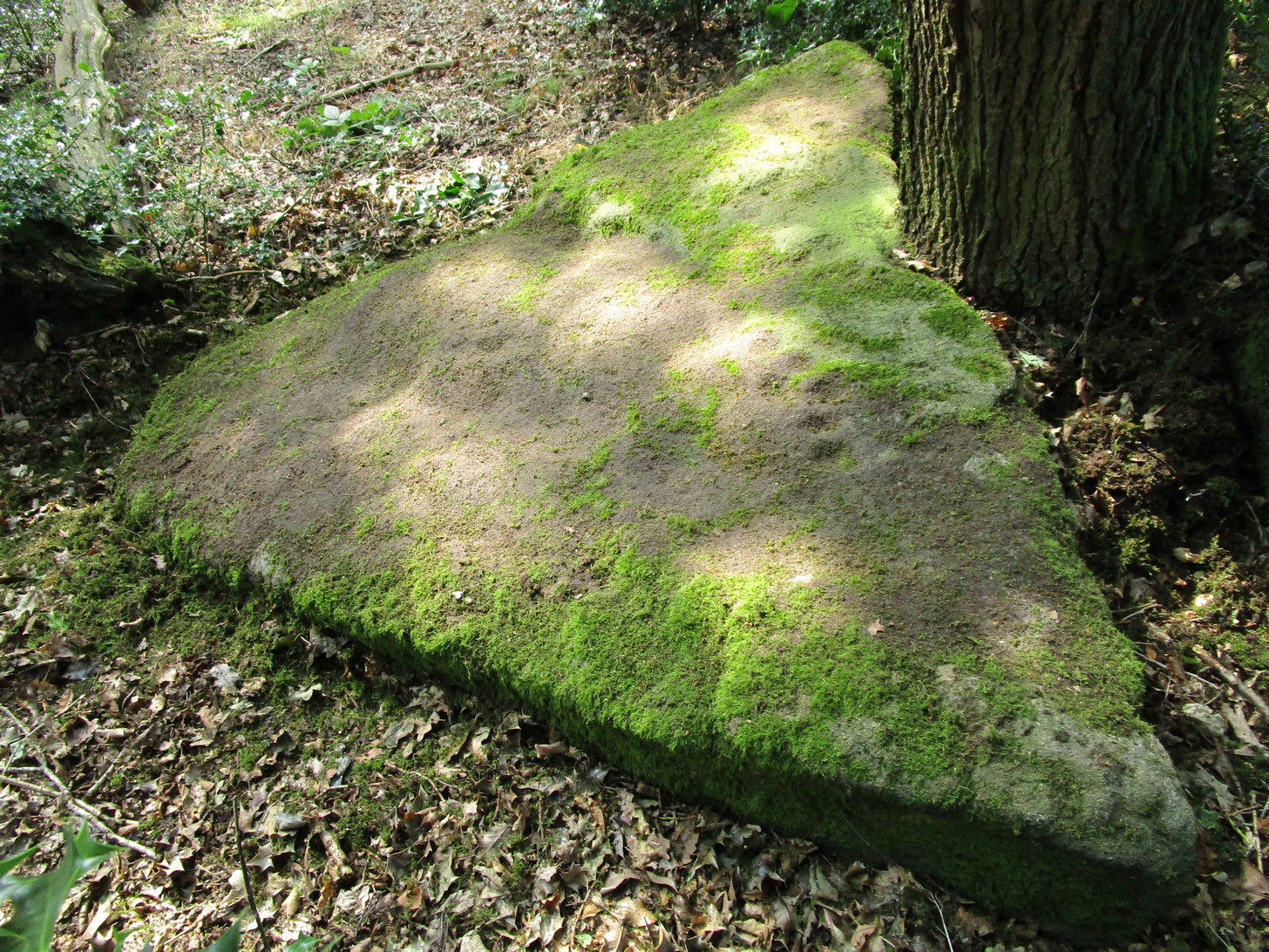
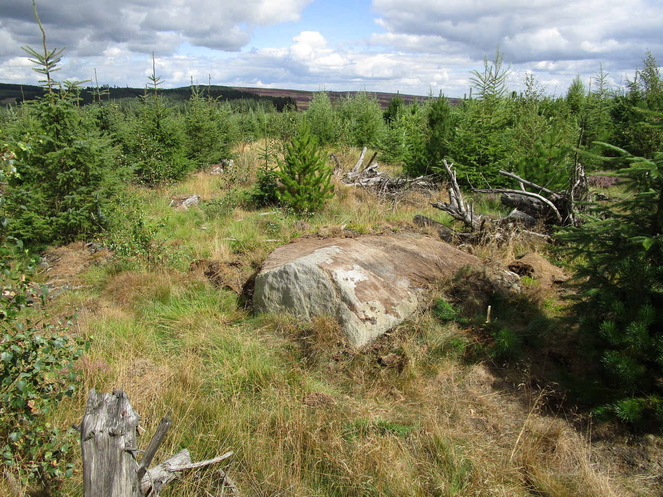
On the north side of Cookridge, find Smithy Lane and go to the western-end, where it meets up with a dirt-track. Walk straight along here by the side of the cricket-pitch and then take the first turn left where you walk along the other edge of the cricket pitch. About 150 yards along, the track hits the woods; keep along here for about another 200 yards where you’ll find a small footpath on your left goes into the woods. Once you’re in in the trees, walk to your right, following the wall, for about 50 yards where you’ll see a large flat stone by the holly trees. That’s it!
Archaeology & History
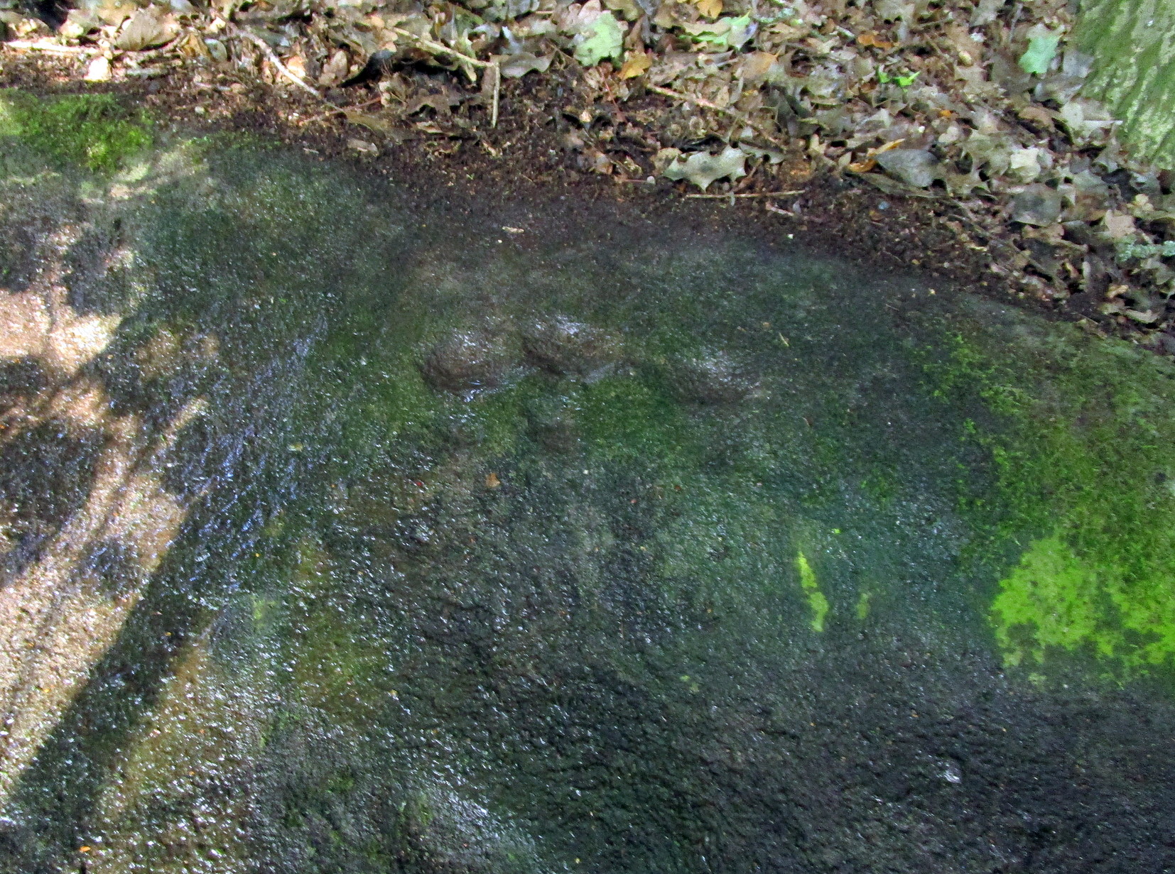
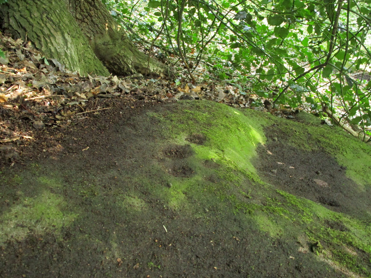
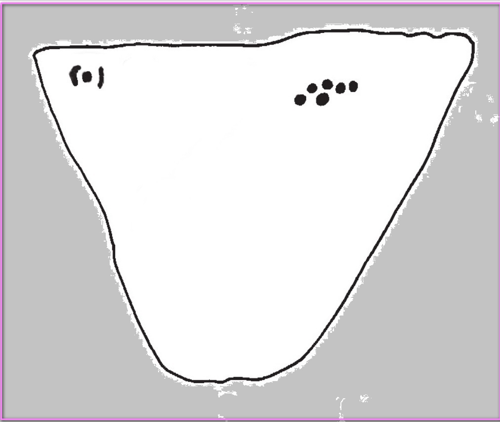
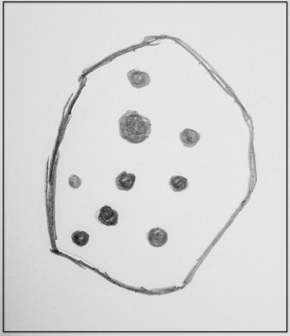
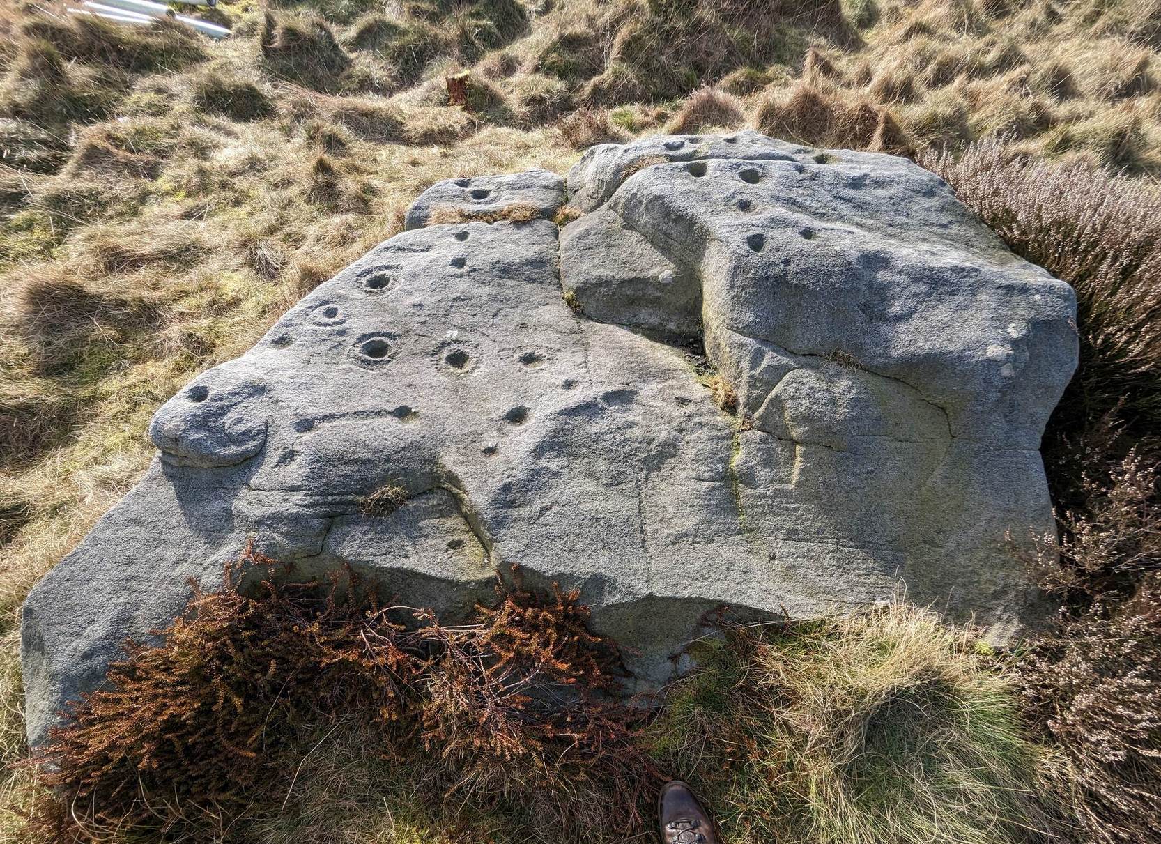
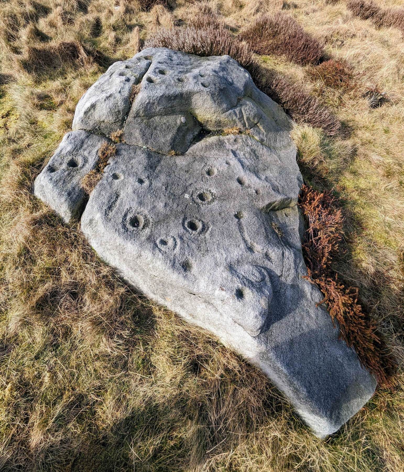
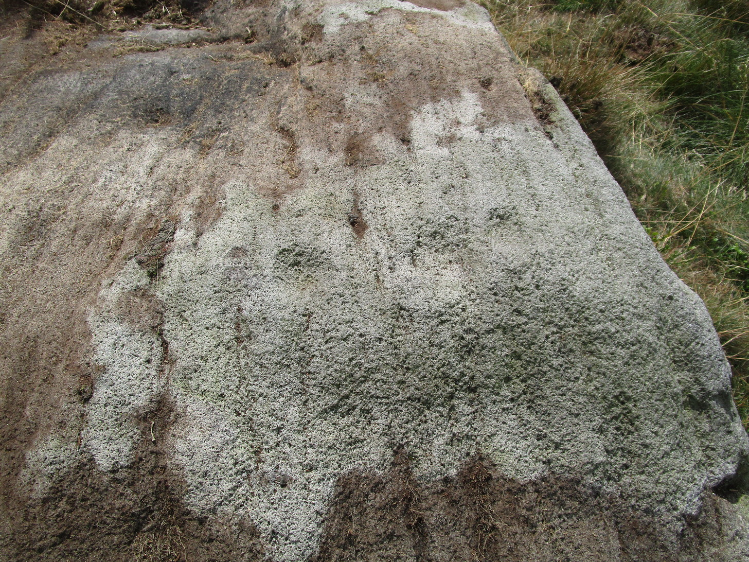
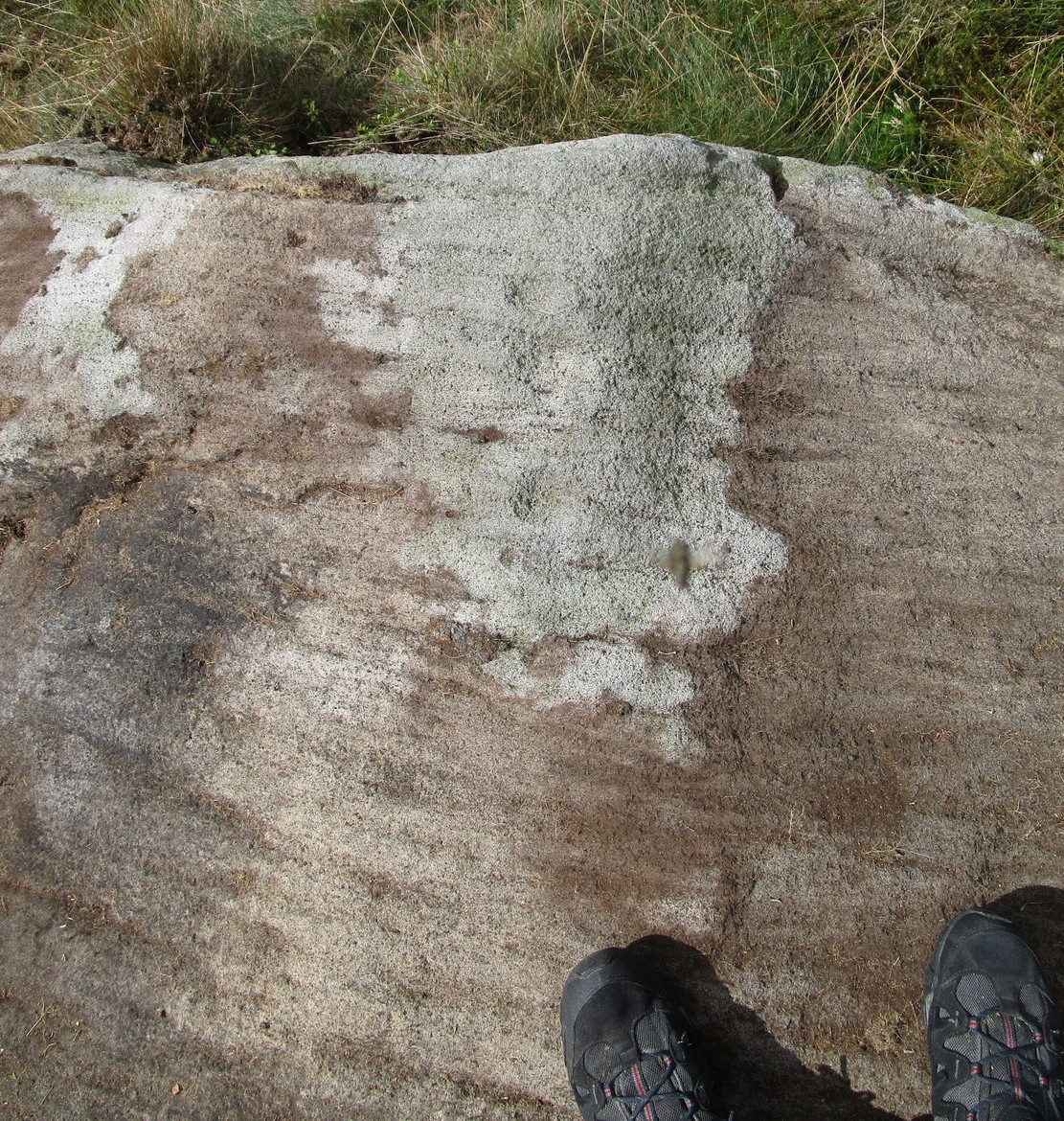
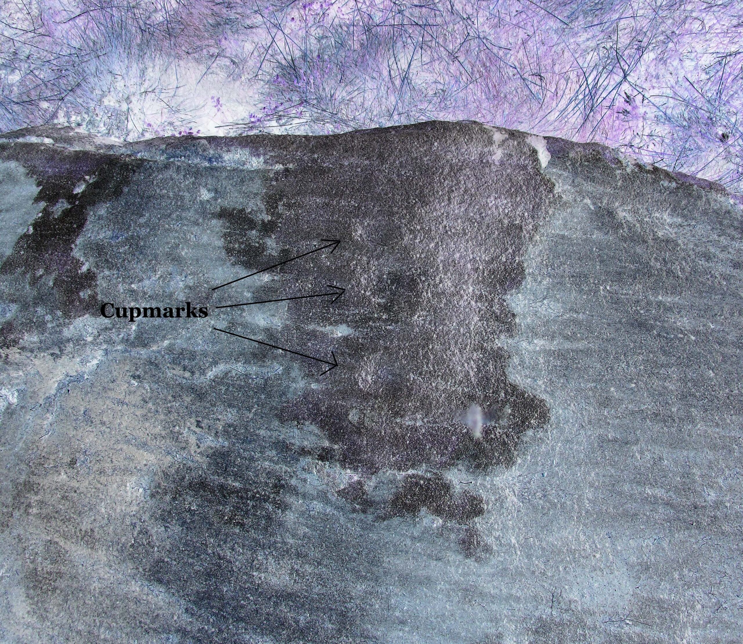
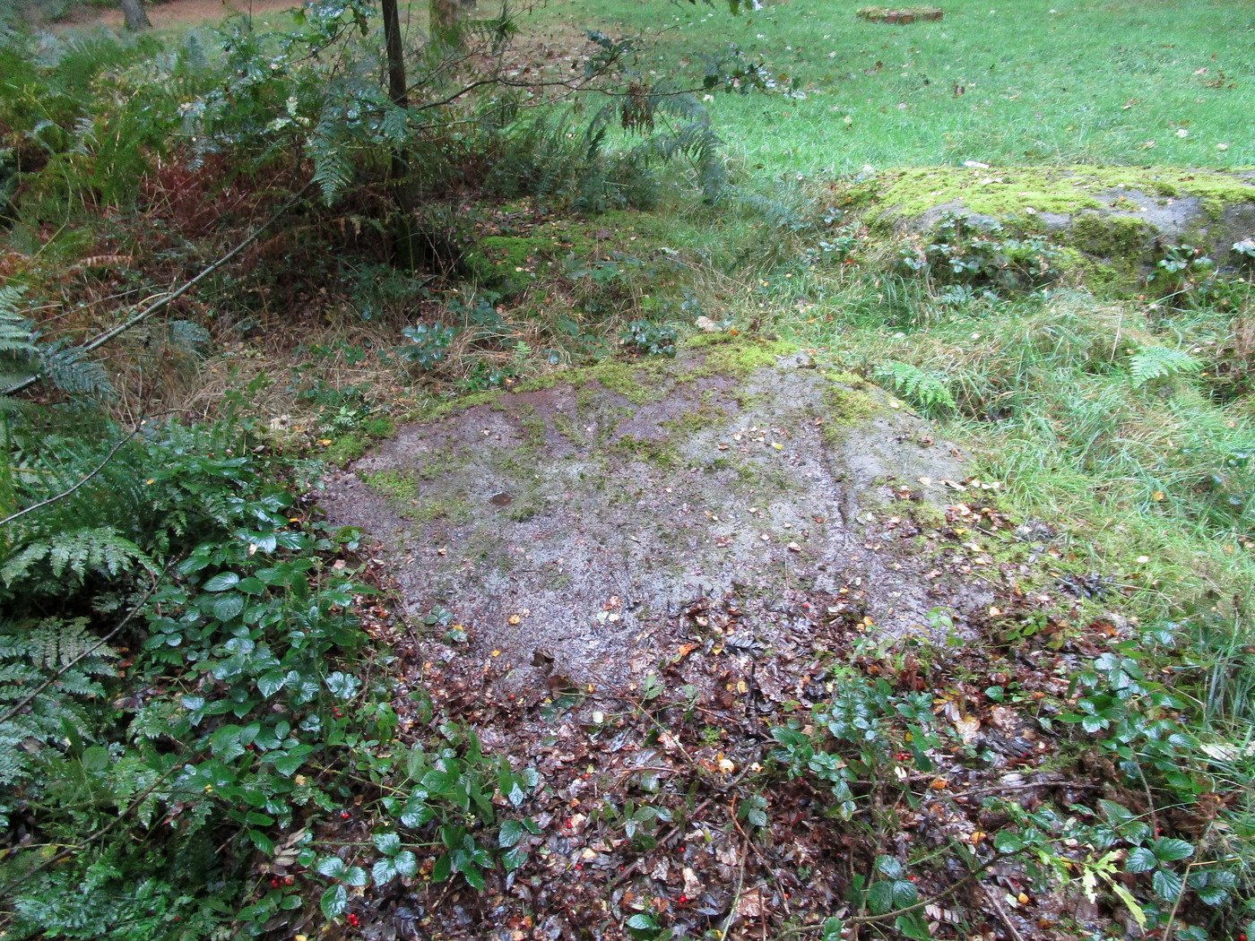
Rediscovered by the Leeds historian Don Cole in the 1940s, this complex multi-period carving etched onto a flattened rock surface is an unusual outlier from the Rombalds Moor complex several miles to the west. At its heart, around the semi-natural deep “cups” near the middle of the southern side of the stone, is the oldest part of the carving comprising a very faint incomplete triple-ring design which, as we move around it, almost has the look of a Newgrange-lozenge form to it. But I’m unsure…
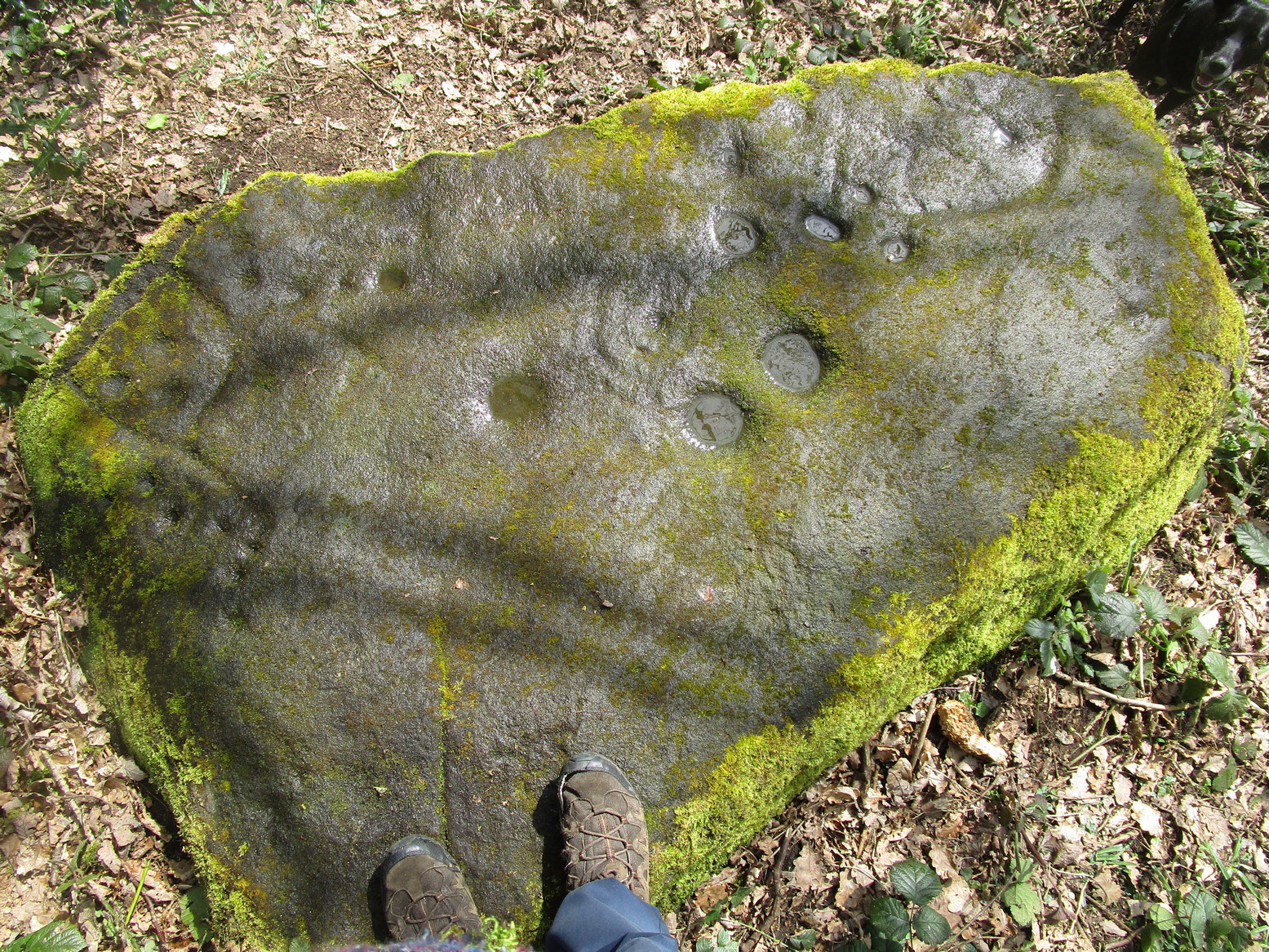
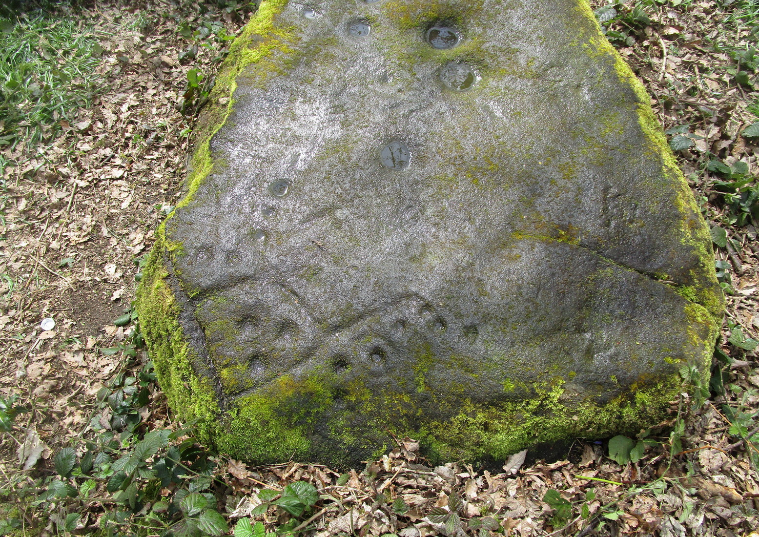
More obvious (apart from the deep “cups”), and the first thing you notice as you approach the stone, are the later and much more well-defined elements on the east side of the stone: a curious wave-form writhes from the edge of the rock across its smooth surface, beneath which we find a cup-and-ring and a number of single cup-marks, some enclosed inside a rounded box, with others sat between the curved carved line and the stone’s edge. The “rounded box” with its three cups at first seems to be on its own, but as the light changes you’ll notice a much fainter (possibly older) rectangular box attached to it; no cups are visible inside this.
A hundred yards due south in the same woodland you’ll find the Gab Woods (2) carving.
One interesting feature is the name of the woodland in which the stone resides. In Thomas Wright’s massive dialect work, Gab is a northern dialect word meaning “to talk”, or “idle chatter” (and variants thereof); this is echoed in Blakeborough’s (1911) Yorkshire survey; and Wilkinson’s (1924) local study tells simply it to be “idle talk…able to talk glibly and with much plausibility—a Town Hall Square orator for instance.” This makes the place as something akin to being “the woodland that talks”, “the chattering woods” or “the talking woodland”, etc. You can make up your own mind as to what this might mean… *

References:
-
- Blakeborough, Richard, Wit, Character, Folklore and Customs of the North Riding of Yorkshire, W. Rapp: Saltburn 1911.
- Wilkinson, John H., Leeds Dialect Glossary and Lore, privately published: Leeds 1924.
- Wright, Joseph, English Dialect Dictionary – volume 2, Henry Frowde: London 1900.
Acknowledgements: Huge thanks must go to Peter Murphy for recovering this impressive carving from beneath the carpet of soil and vegetation, and so enabling it to be seen by others once more. Also big thanks to the usual culprit of James Elkington, as well as Sarah Walker and Sarah Jackson.
* a Scottish dialect variant of gab relates to the mouth, tongue, taste.
© Paul Bennett, The Northern Antiquarian