Enclosure: OS Grid Reference – SK 2259 6238
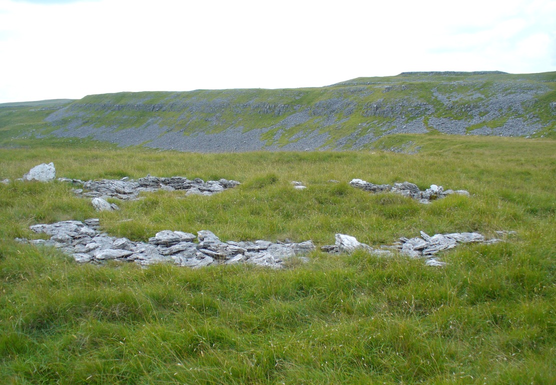
Site of Cratcliff West enclosure
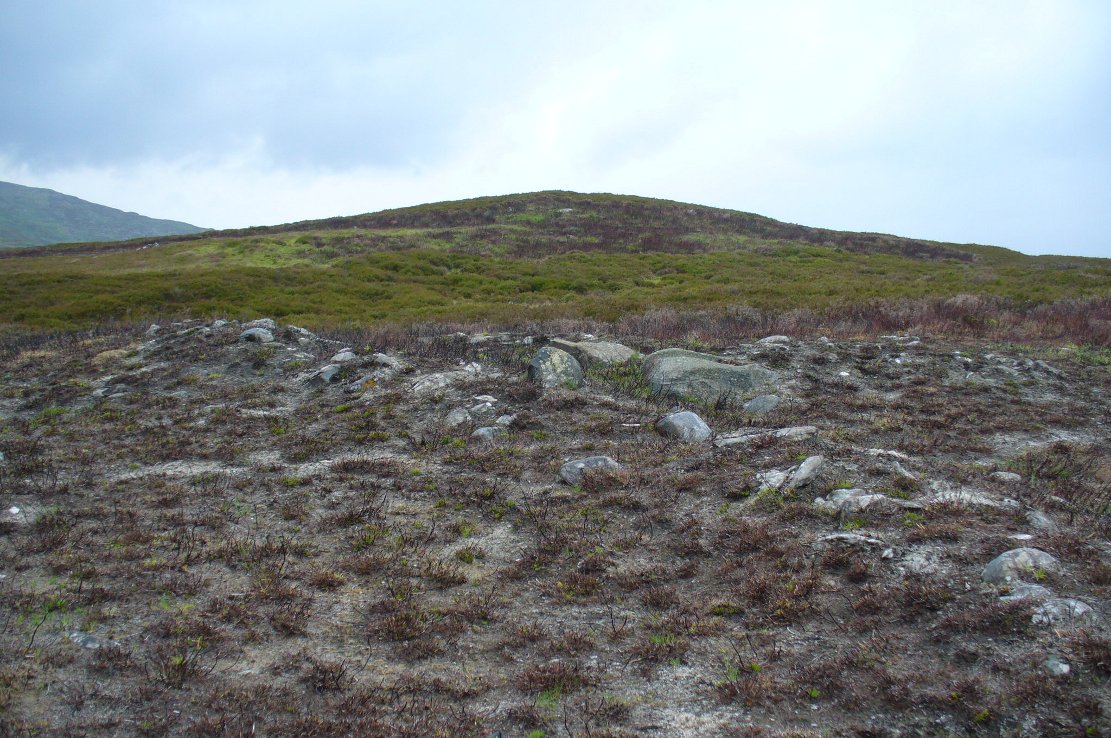
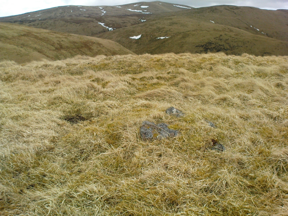
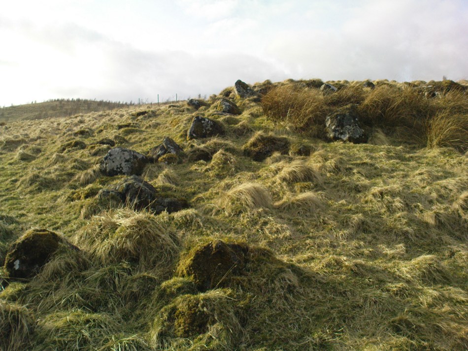
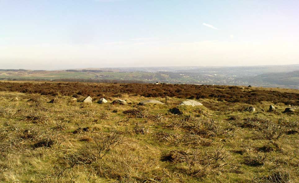
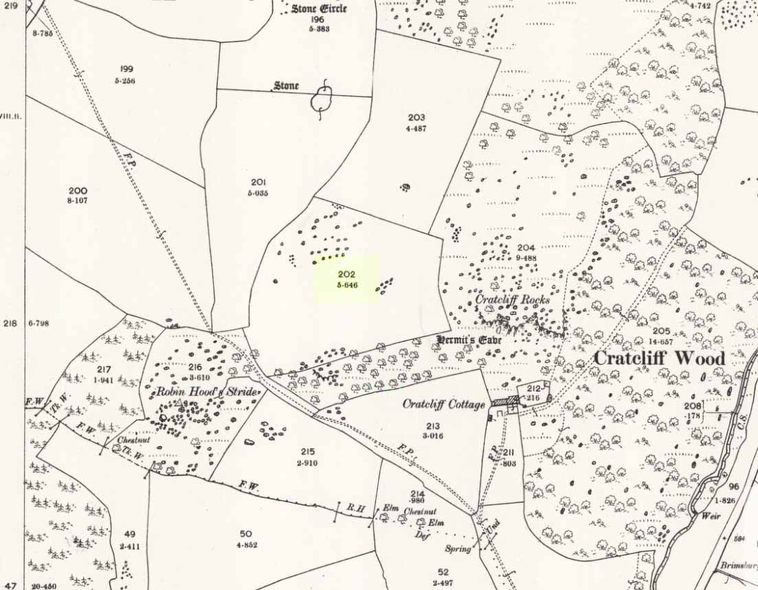
Taking the roughly north-south road betwixt the village of Elton and the town of Youlgreave, rising up to see the great rock outcrop of Robin Hood’s Stride, park-up by the roadside and walk down the path towards the impressive rocky rise of Robin Hood’s Stride. Keep to the fields below the Rise on its north side and head for the next wooded rise 2-300 yards west. In the field you’ll cross (field number 202 in on the map, right) before this wooded crag [Cratcliffe Rocks], the outline of the enclosure is beneath your very feet.
Archaeology & History

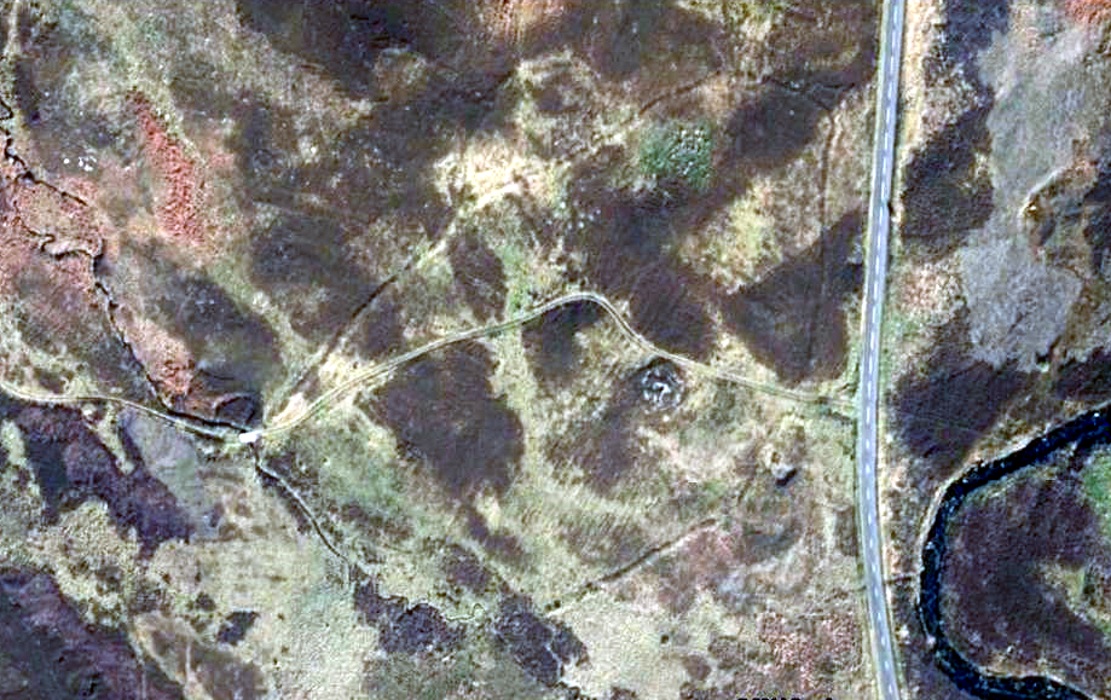
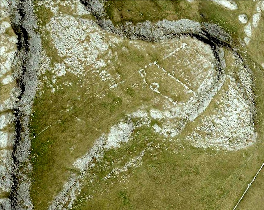
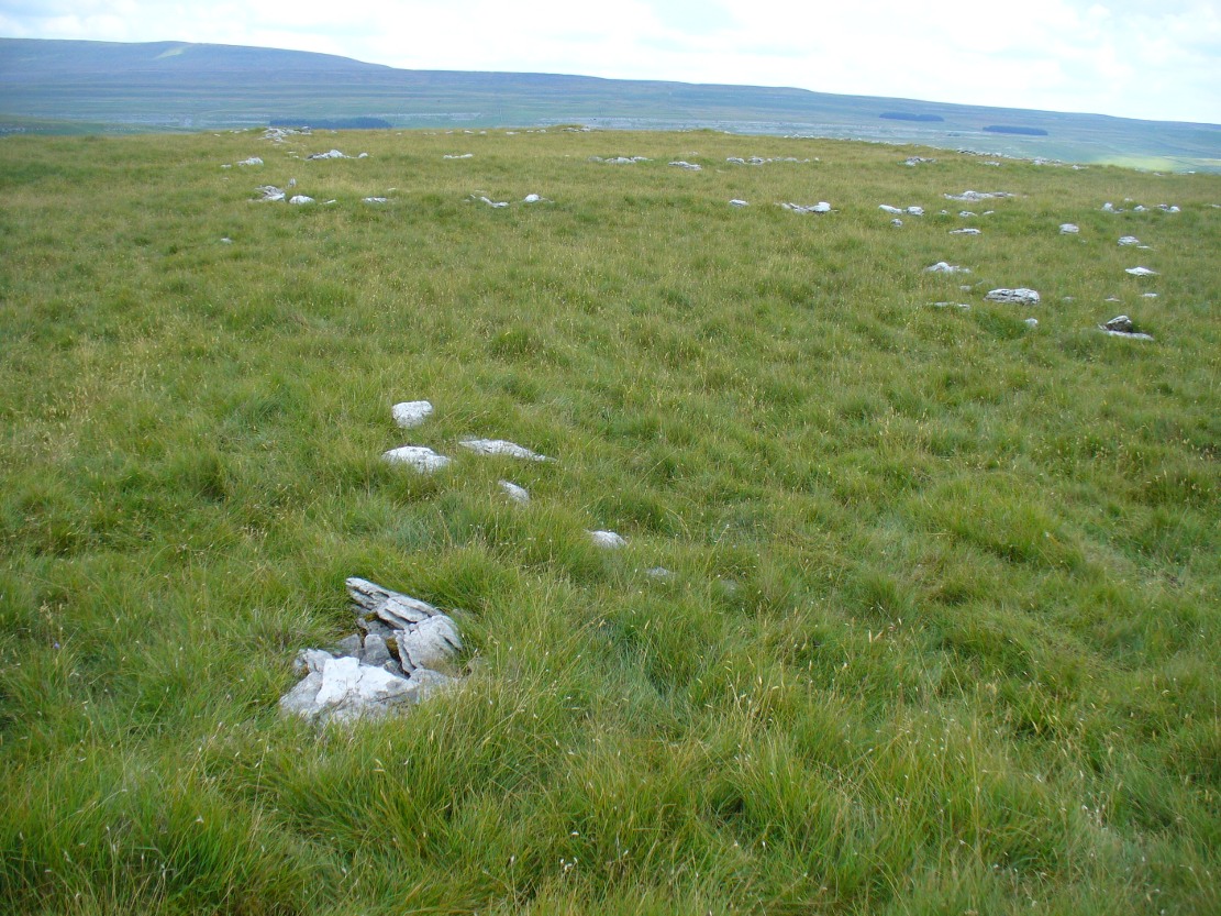
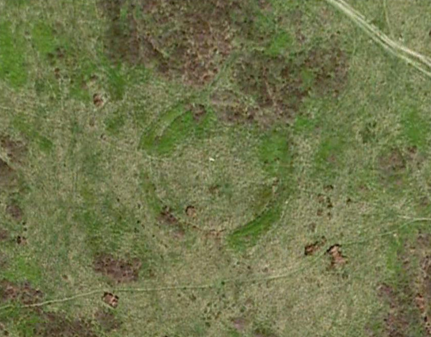
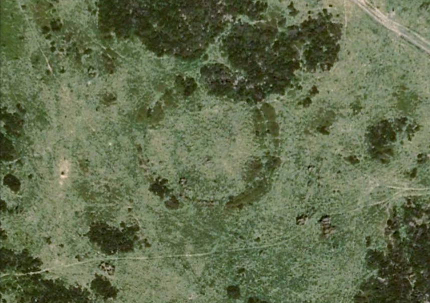
Aerial image of the Ninestone Ring enclosure
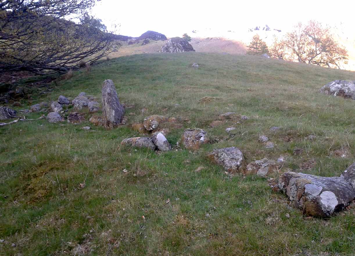
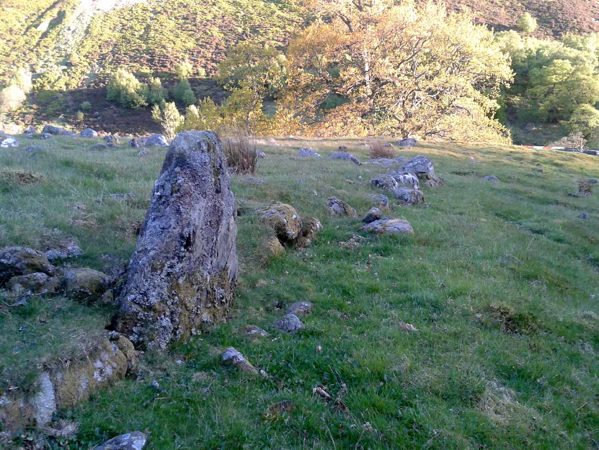
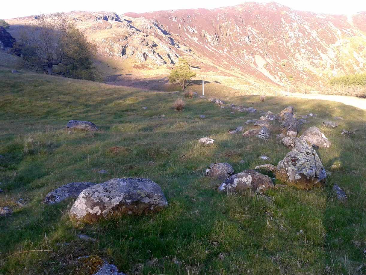
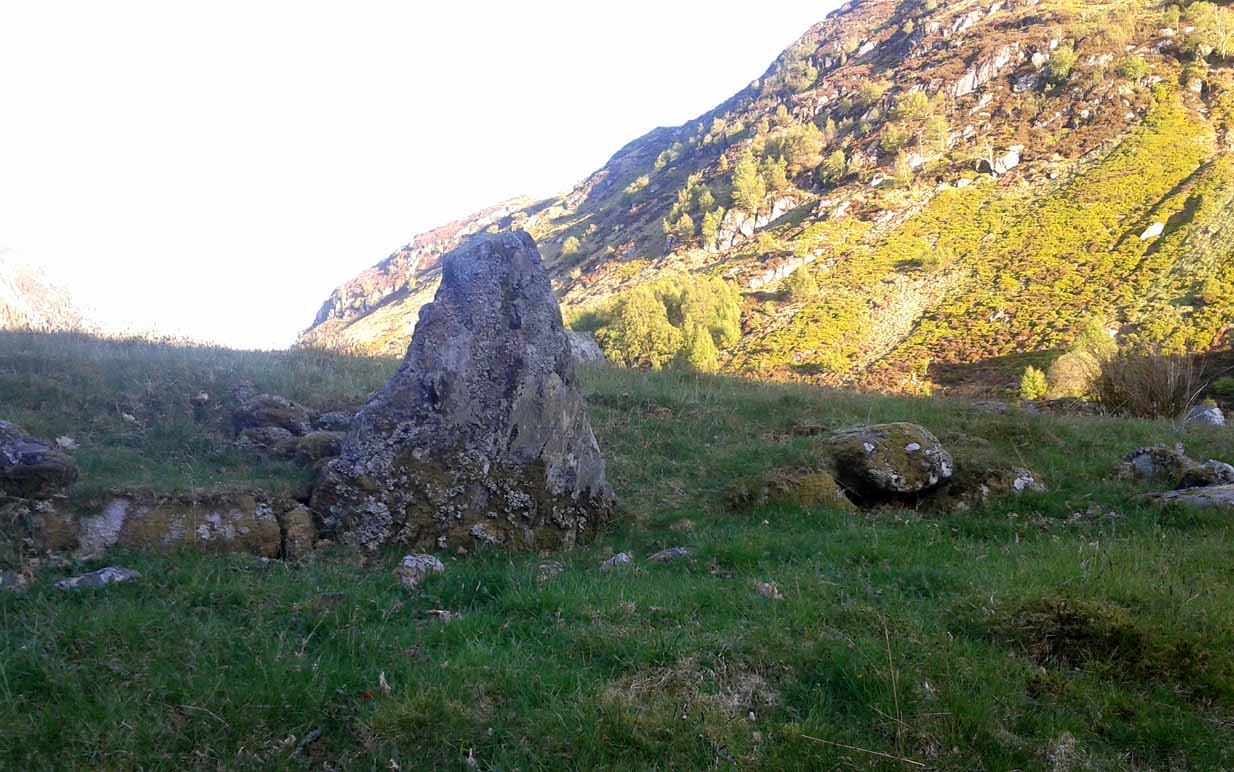
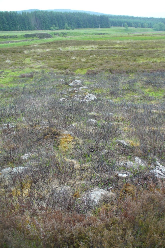
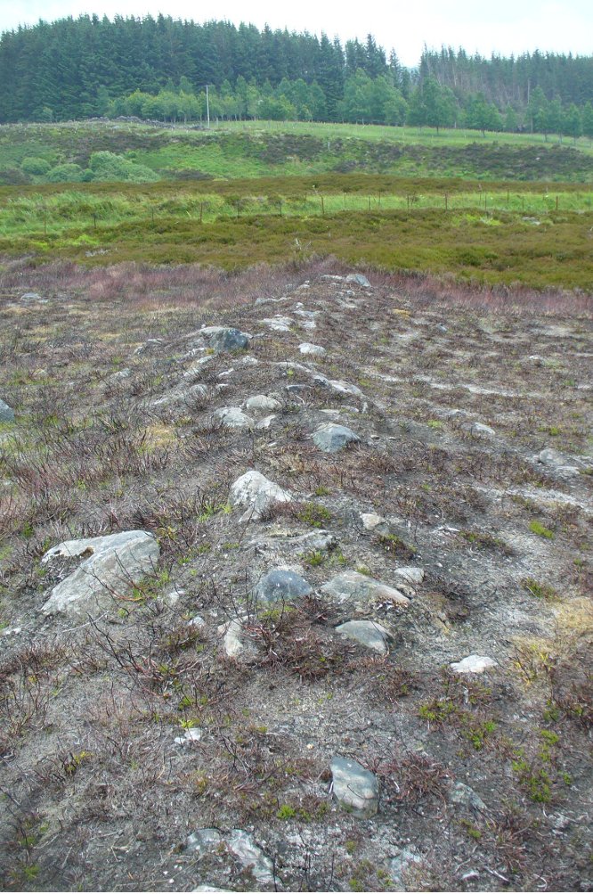
This blatantly obvious oval-shaped enclosure or settlement ring has had very little said of it in archaeological circles as far as I can tell. (please correct me if it has!) I found it quite fortuitously during aerial surveys of the nearby Nine Stones circle. It’s certainly quite large. With a general circumference of roughly 285 yards (260.5m), the relative diameters of this enclosure are—from north to south—91 yards (83m) and—east to west—80 yards (73.25m). The ditch alone is quite wide all the way around, almost giving it a ‘henge’ quality. Its southern section is nearly 10 yards across at one point!
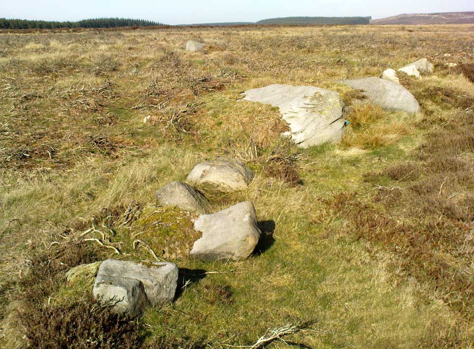
The northwest section of the enclosure has been built into, or upon a small natural outcrop of rocks. But also at this point—as seen clearly in the aerial photo—on the other side of the wall just past the raised natural outcrop, is a long straight parallel linear feature, very probably man-made, running away to the northwest for at least 174 yards (159m). It too is quite large, averaging more than 13 yards (12m) across all along the length of this “trackway”: twice as wide as the nearest road and similar in form to the smaller cursus monuments that scattered neolithic Britain.
The site seems to be typical in form and structure to general Iron Age, or perhaps late Bronze Age settlements – but without a proper ground appraisal, this is a purely speculative appraisal. Any further information or images of this site to enable a clearer picture of its nature would be most welcome.
Acknowledgements: With thanks in various way to Pete Woolf, Dave Williams, Geoff Watson & Martin Burroughs.
© Paul Bennett, The Northern Antiquarian