Legendary Tree: OS Grid Reference – NN 57 33
-
Coin Tree
Folklore
Nothing has previously been written of this site. Its existence came to light during one of umpteen enquiries I’d made with a well-known and very respected local lady, born and bred in Killin (sadly, a dying breed), who is known as a fount of knowledge regarding the history of the area. We were talking about the ancient sites and folklore of the neighbourhood and, amidst being her usual helpful self she asked, “have you been to the Coin Tree? The place where we leave offerings to the spirit of the place?”
I hadn’t.
“No, I’ve never heard of the place.”
“We keep it quiet, ” she said, “for obvious reasons.”
I knew what she meant. The Fairy Tree at Aberfoyle is a case in point: littered with plastic pentagrams, children’s toys and so-called “offerings” of all kinds that have made it little more than a dumping ground for pseudo-pagans and new-age nuts that needs to be cleaned regularly by local folk.
Anyhow, our informant proceeded to give us directions to find the place, going out of the village, but asked that if we were to write about it, to keep its location quiet, “as the place is still used by us”—i.e., old locals. After a slow trek along one of the roads out of the village we saw nothing that stood out. Eventually we came across a fella relaxing in his garden and asked him if he knew anything about an old tree where offerings were made. He gave us that look that olde locals do, to work out whether you’re a tourist or not and, after telling him what we’d been told and who had told us —that seemed to do the trick!
“You’d mean the Fairy Oak I s’ppose? Aye,” he said, “gerrin the car and I’ll drive y’ down to it.”
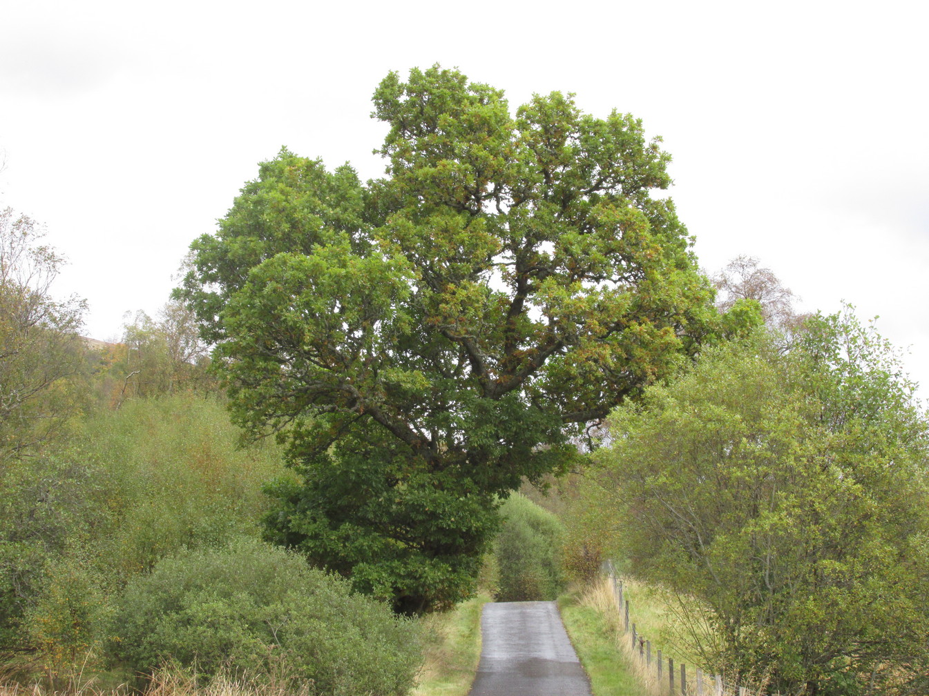
So we did. A short distance back along the road that we’d come down he stopped and walked along a to large oak tree beside the road. We’d walked straight past it—but in truth it’s not a conspicuous tree and unless you were shown where it was, you’d miss it as easily as we did (and I’m usually damn good at finding such things!). We thanked the fella for taking us to see it and he drove back home to leave us with out thoughts.
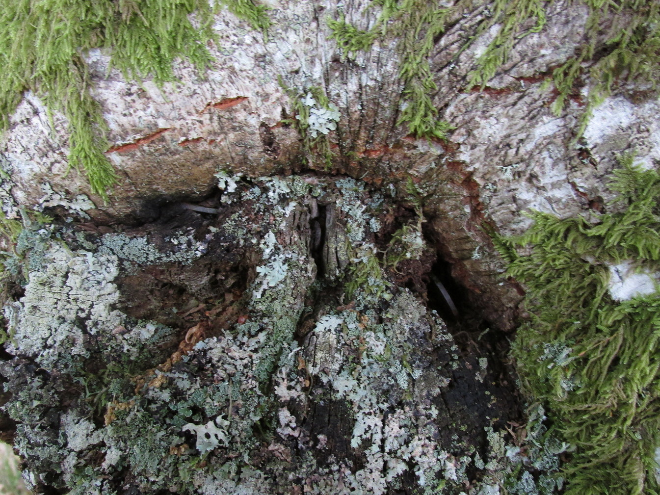
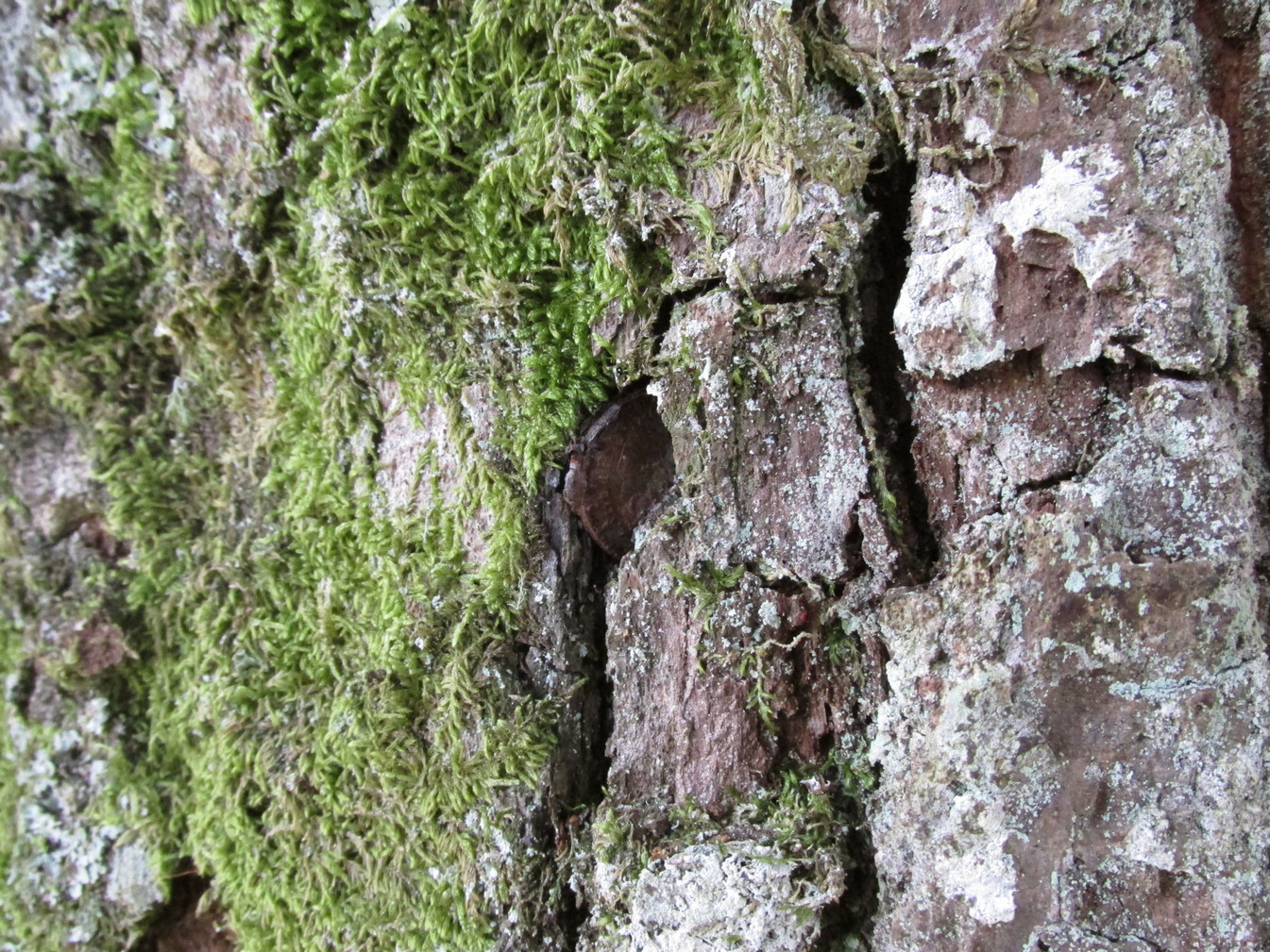
Embedded into the tree—some of them barely visible where the bark had grown over them—were clusters of old coins all around its trunk; some of them very old. These had been inserted into the tree as offerings in the hope that the little people, or the genius loci would bring aid to that which was asked of it.
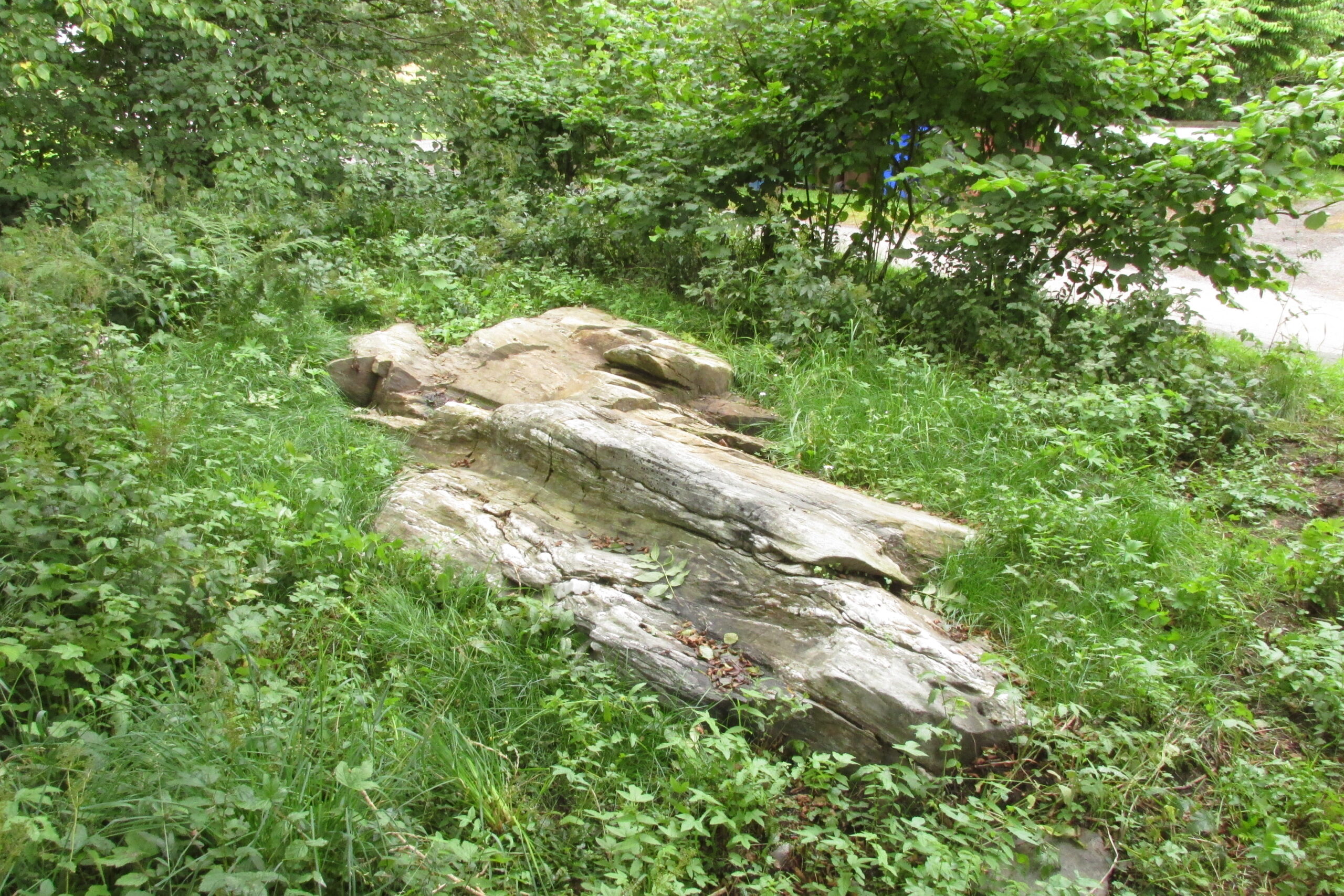
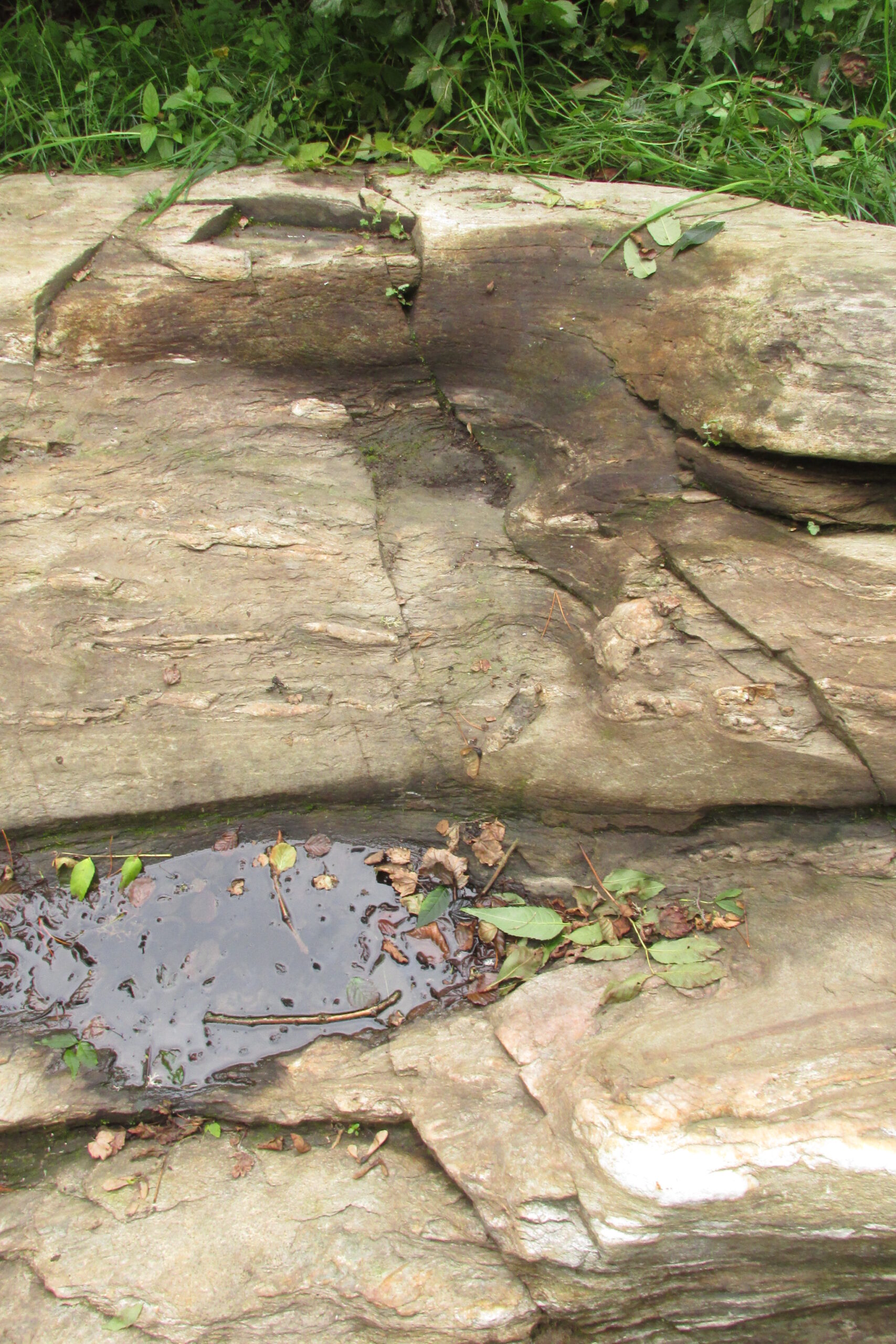
In a field across the road there’s a large “fairy-mound” hillock, or tom as they’re known in the Gaelic landscape: one of Nature’s creations, but just the sort of place where many little people are said to live in many an old folk-tale. Some such mounds are old tumuli, but this aint one of them. It’s possible that it had some relationship with the tree where the fairy folk are said to reside but, if it did, our informants didn’t seem to know.
The important thing to recognise here is that in some of the small villages and hamlet in our mountains, practices and beliefs of a world long lost in suburbia are still alive here and there… But even these are dying out fast, as most incomers have no real attachment to the landscape that surrounds them. Simply put: they see themselves as apart from the landscape as opposed to being a part of it.
© Paul Bennett, The Northern Antiquarian