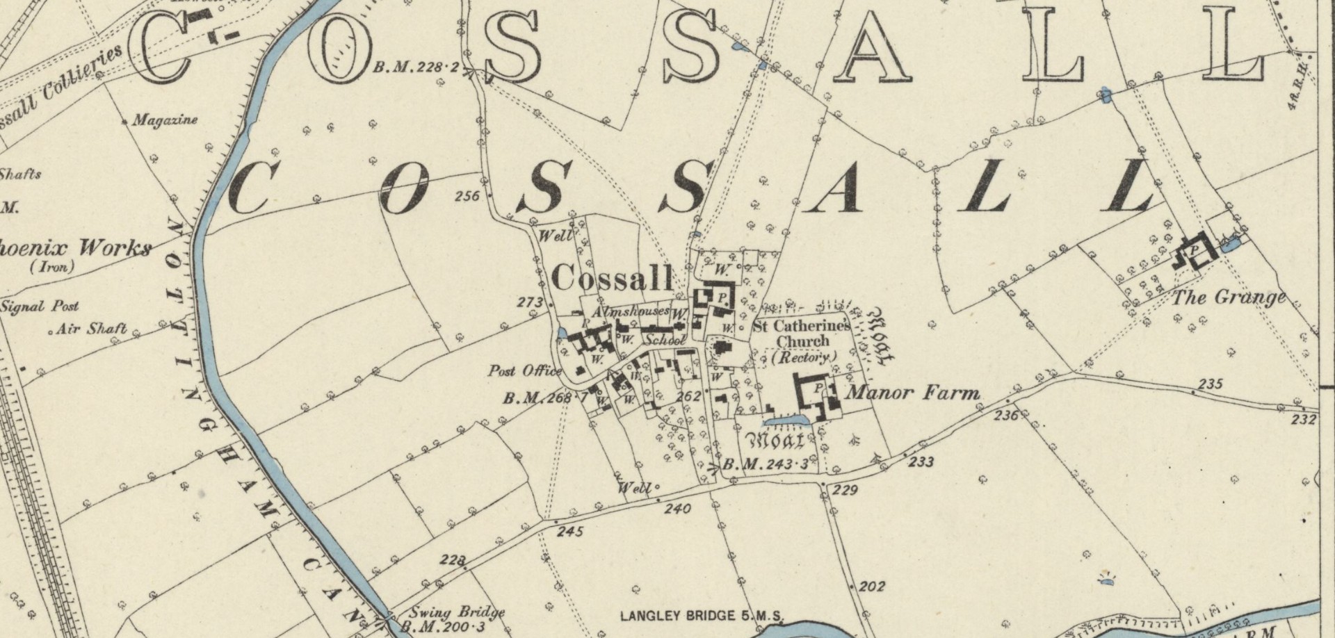
Holy Well: OS Grid Reference – SK 7429 7149
Archaeology & History
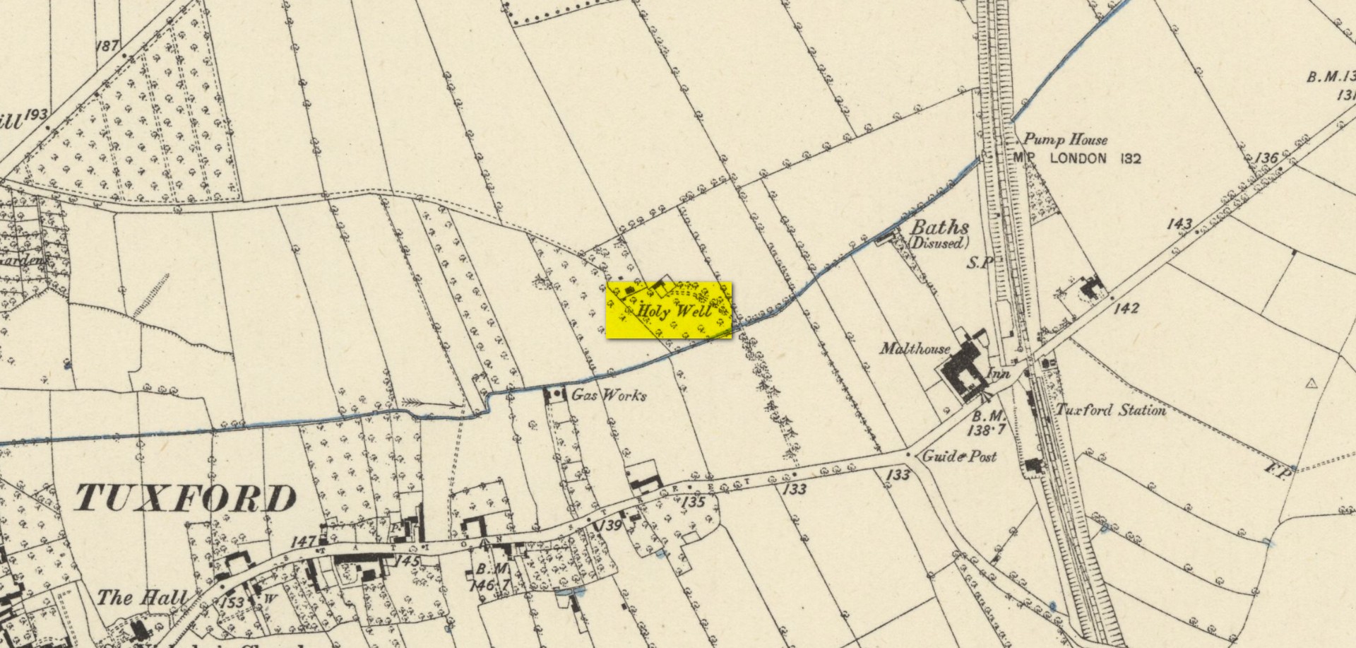
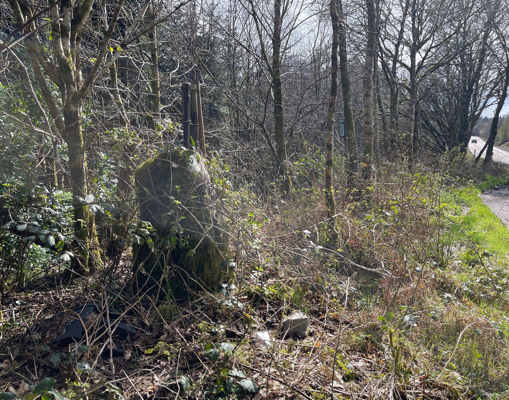
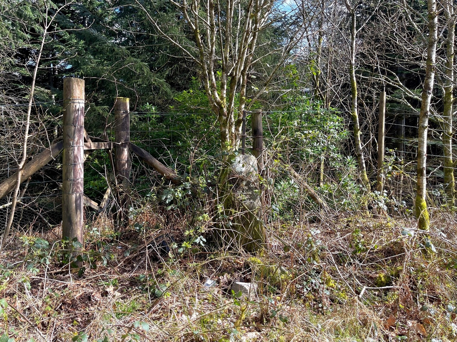
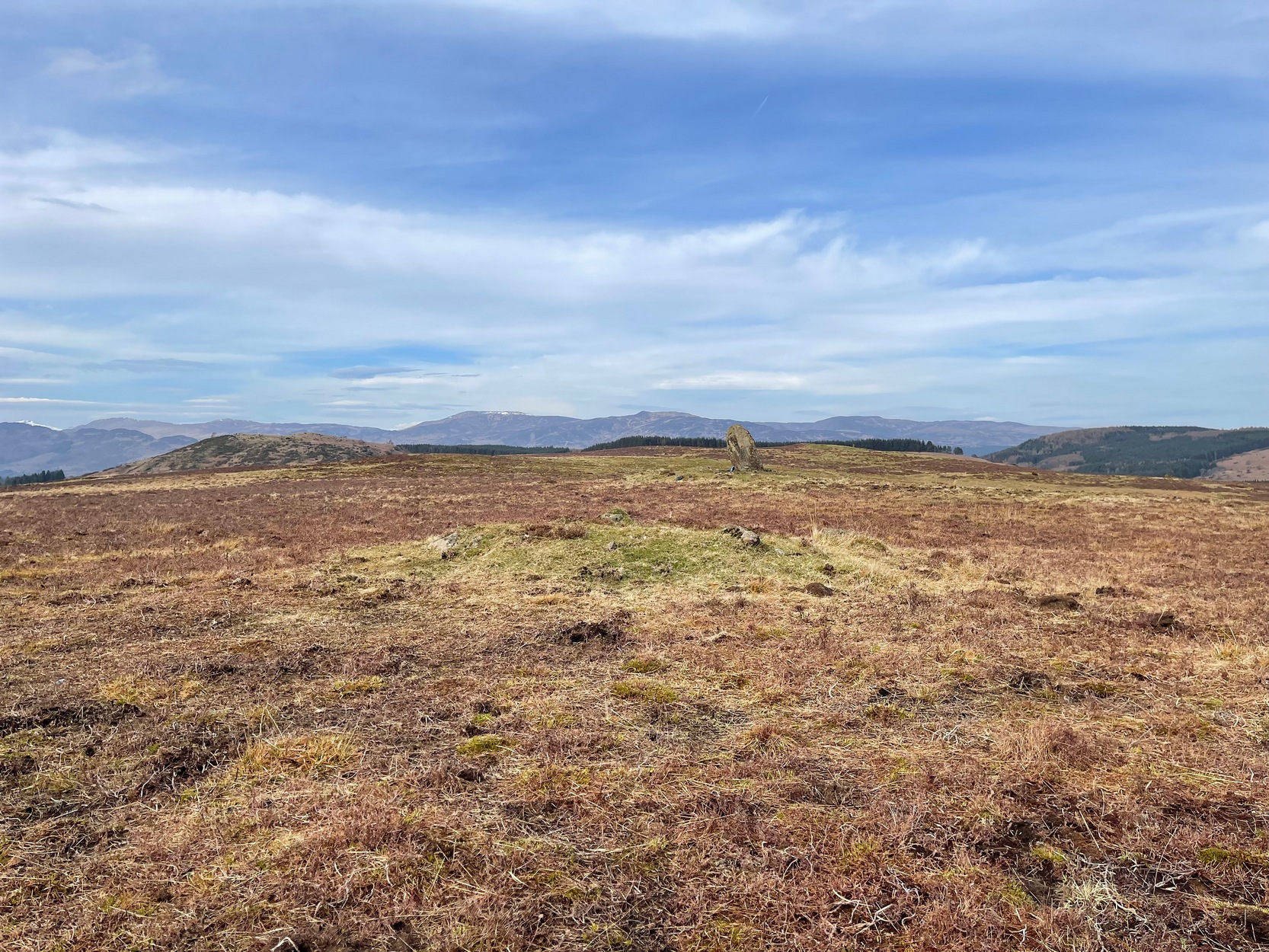
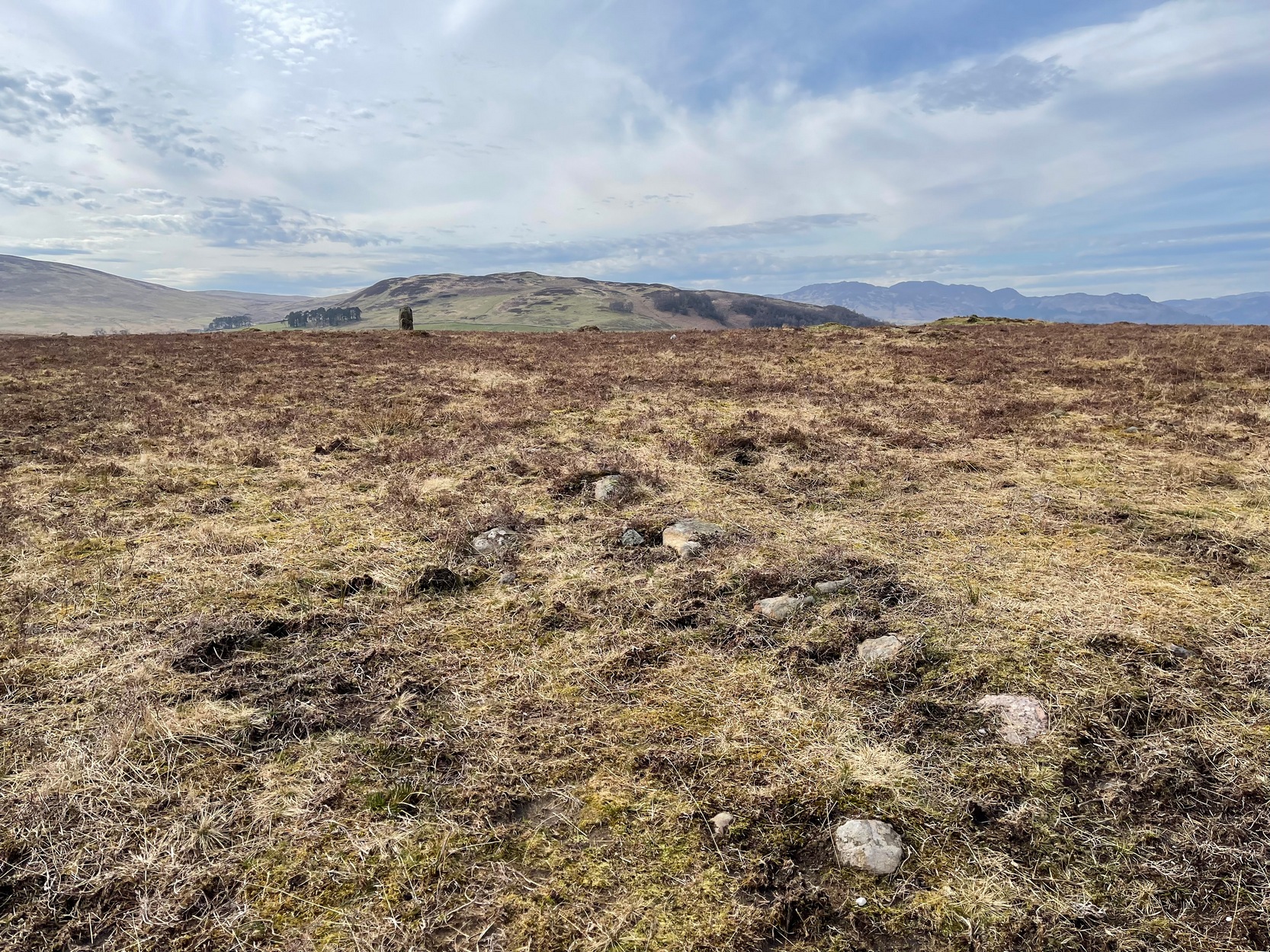
Highlighted on the early Ordnance Survey map of the region by the appropriately named ‘Holywell Farm’, this once important sacred water source would seem to be little more than a muddy patch nowadays. Not good. Its cold waters were reputedly good for curing skin diseases such as scurvy, along with aiding in the affliction of rheumatism.
Local folklore attributed the site to have once fed some Roman baths, but this idea seems to have been a diluted version of it once, historically, supplying some baths a few hundred yards east, albeit in the 19th century and not way way back in Caesar’s days! Of course, the waters of the well would have been used in ancient times, but we have no archaeology or unbroken traditions telling us such things. It was last known to be used as a local water supply in the 1920s. The fact that the spot where it used to run free is still sometimes boggy means that it could be re-animated with a bit of effort from local people.
References:
- Morrell, Robert, Nottinghamshire Holy Wells and Springs, Nottingham 1988.
Acknowledgements: Huge thanks for use of the Ordnance Survey map in this site profile, reproduced with the kind permission of the National Library of Scotland.
© Paul Bennett, The Northern Antiquarian