Standing Stone: OS Grid Reference – SP 2938 2569
Also known as:
-
Churchill Stone
Getting Here
")
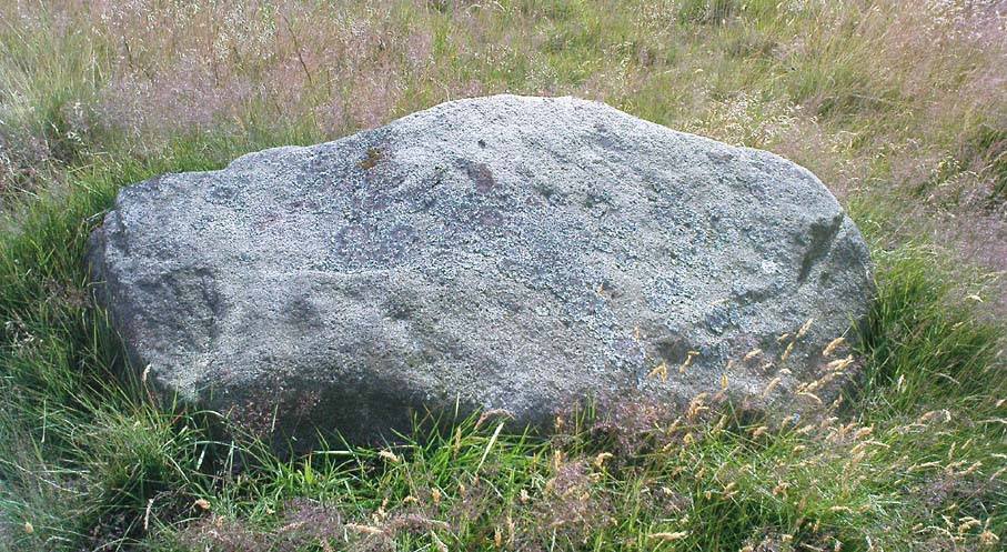
This stone stands on the south-side of the B4450 just north of the crossroads, halfway between Churchill and Chipping Norton. Generally troublesome to see at first as it tends to get hidden in the hedgerow, so you may need to furrow into the but shrubbery to get to it, but it’s not too difficult to locate with a bit of patience.
Archaeology & History
This small standing stone seems to have been described for the first time in O.G.S. Crawford’s (1925) fine survey of the regions prehistoric remains following a letter he received from a local man, Mr A.D. Passmore, who first drew it to the attention of archaeologists. Crawford told:
“This stone is a little over a mile southwest of Chipping Norton station. It stands in the hedge on the northwest side of the road and is about four feet high… Nothing more is known about it, but it seems not unlikely that it may be of considerable antiquity.”
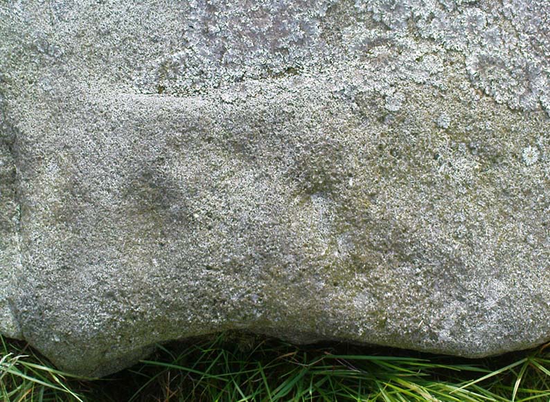
A few years later Leslie Grinsell (1936) mentioned it in his equally fine survey of prehistoric English tombs and associated remains, describing here, “a large stone which may be the remains of a megalithic monument.” Tom Wilson then illustrated it in our crappy little Old Stones of Rollright (1999) work (which really needs updating and expanding). It’s a cute little stone and may have once served as a companion to a prehistoric tomb as there are many others nearby. It is also quite close to one of the local boundary lines and, p’raps, might once have served as a marker hereabouts. We might never know…
References:
- Bennett, Paul & Wilson, Tom, The Old Stones of Rollright and District, Cockley: London 1999.
- Crawford, O.G.S., The Long Barrows of the Cotswolds, John Bellows: Gloucester 1925.
- Grinsell, Leslie V., The Ancient Burial Mounds of England, Methuen: London 1936.
© Paul Bennett, The Northern Antiquarian
")