Balnakeilly Stone, Moulin, Pitlochry, Perthshire

Standing Stone:  OS Grid Reference – NN 9463 5943

Getting Here

As you go through Pitlochry’s main street, watch out for the right-turn up the A924 road.  Go up here for perhaps a mile.  You’ll know you’re getting close as you pass the Moulin pub and the seeming avenue of trees opens on either side of the road.  A coupla hundred yards up into the trees, there’s the left-turn up the Balnakeilly driveway.  Stop! It’s on your left.

Archaeology & History

The Balnakeilly Monolith

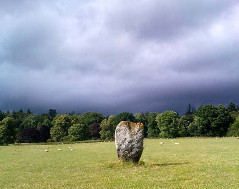
Knocking on for nine-feet tall, there’s some debate as to the archaic authenticity on this standing stone.  Ian Armit and his mate (1998) certainly wondered whether this was an ancient stone or not and, gotta say, when I came up here a coupla weeks back, I got the same impression.  It doesn’t have that feel about it which comes from the real olde ones; but this could be due to it having been moved in the not-too-distant past.  Though when Alan Reid wrote about it in 1911 he told us that,

“it bears marks of having been…worked slightly into shape by some pointed tool whose traces are plainly seen on several of its angles.”

Not something you’d find on monoliths that are a few thousand years old!  But if this stone was moved when the entrance to Balnakeilly drive was done, or the road widened, this could account for such markings.  We could do with digging into any archives that may exist about Balnakeilly or the Pitlochry roads to see if there’s any record of this stone to end the debate once and for all.  Tis a good site to visit though – check it out!

References:

  1. Armit, I. & Johnson, M., ‘Balnakeilly (Moulin parish), ‘modern standing stone’,’ in Discovery and Excavation in Scotland, 1998.
  2. Reid, Alan, ‘Monumental Remains in Pitlochry District,’ in PSAS 46, 1911-12.

© Paul BennettThe Northern Antiquarian


Hollin Tree Hill, Askwith Moor, North Yorkshire

Standing Stone:  OS Grid Reference – SE 16611 50818

Getting Here

Follow the directions to reach the Man Stone carving.  Walk up the sloping hillside from there until you reach the top.  From there, walk down the slope heading slightly to your left.  You’ll find it!

Archaeology & History

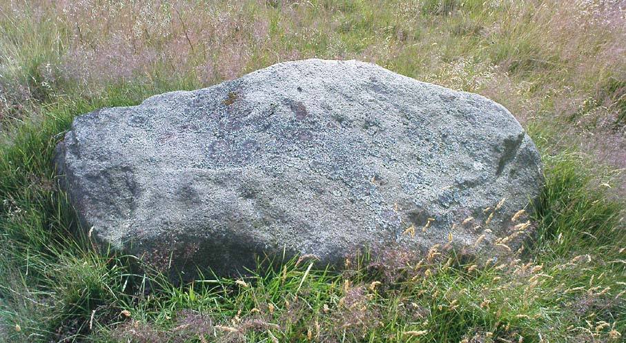
A small upright stone, less than three feet tall, but once a little taller as you’ll see that it’s head has been knocked off in the not-too-distant future and lies on the ground by its side.  A small scatter of what seems like possible cairn-material lies around its base, but not enough to imply that a tomb of any sort was ever here (aswell as that, the position on the slope seems wrong).

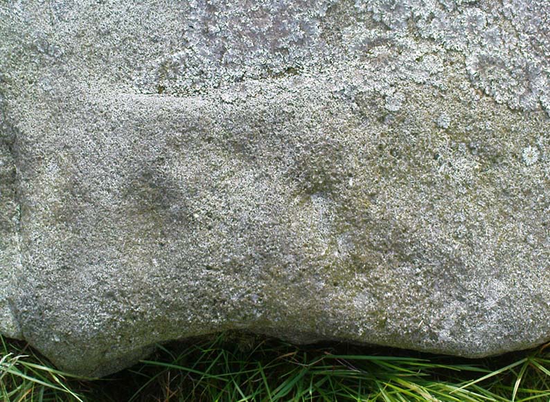
A curious little thing, without archaeological companions.  When we came here the other day, we explored the ground all round the stone as all the heather had been burnt back; but there was nothing anywhere near it to give a hint as to why it stands here, alone, at what seems like a strange spot two-thirds the way up a moorland slope. It’s been speculated that in the middle of its more north-facing side there is a cup-mark on it, but this is very dubious and, in my opinion, should be discounted as such.  The marking is a gun-shot wound – and more recent ones have just been added, as seen  in the photo.

© Paul Bennett, The Northern Antiquarian

Pots and Pans Stone, Greenfield, Lancashire

Legendary Rocks:  OS Grid Reference – SE 01008 05072

Also Known as:

  1. Druid Stone

Getting Here

Pots & Pans on 1854 OS-map

Dead easy! From the townships of Grasscroft, Uppermill, or Greenfield, take the legendary moorland road up to Saddleworth tops (A635), keeping your eye on the modern obelisk on the hilltop to your left and you’ll see a large rock outcrop almost next to it.  That’s where you’re heading.  Once you reach near the moorland level, walk in whatever way you see fit towards the obelisk and large stones.  Enjoy…!  I s’ppose though, it’d be better for you if you started from the valley bottom at Uppermill and walked up the hill.

Folklore

Seemingly a ritual place of the sun, this fine site was known by the local folk-name of the Druid Stones, according to Jessica Lofthouse. (1976)  But more importantly in legend, this great rocky outcrop was the abode of an old giant called Alphin, who had a rival called Alder who also wandered the moors here.  Both these giants vied for the hand of a lady called Rimmon, who preferred Alphin to Alder. In good old fashioned ways they contested for her hand, throwing giant rocks across the moors at each other, but “Alphin was hit and killed, with Rimmon looking on.”  His grave lies on these moors somewhere, seemingly unfound.   …And intriguingly it seems that we’ve actually located a prehistoric tomb which may account for the legend of Alphin’s death! (Watch this space!)

A slight variation on the tale describes the Lady Rimmon to be of fairy stock, named ‘Raura Peena’ (a phonetic spelling of a local dialect name), who in one account from the Notes & Queries journal, 1850, tried luring a local man into her magickal recess of the Fairy Holes, on the slopes beneath the Pots and Pans Stone.

Local tradition also tells that the naturally-worn ‘bowls’ atop of the rocks held magical properties — water being collected from them was said to be good to cure eye problems.  This is a curative theme we find at some bullauns, cup-marked stones and old cross-bases and would strongly indicates that pre-christian practices did once take place here.

References:

  1. Lofthouse, Jessica, North Country Folklore, Robert Hale: London 1976.

© Paul Bennett, The Northern Antiquarian

Yarmer Head, Nidd, North Yorkshire

Standing Stone (destroyed):  OS Grid Reference – SE 299 612

Also Known as:

  1. Temple Yarmer

Archaeology & History

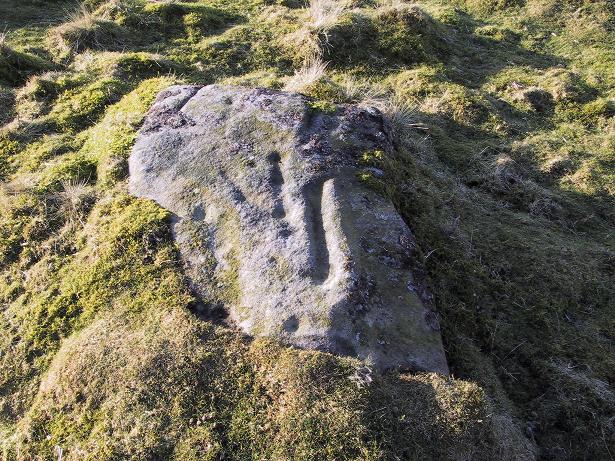
It was the legendary Harry Speight who described this in his monumental historico-topographical exploration of the Nidd valley in the 1890s.  Nothing else, it seems, has been said of the place, though something of considerable archaeological importance was once here.  Not only does he tell of the previous existence of “a large circular enclosure…the outer ditch having a circumference of nearly 1000 yards” at Yarmer Head, but,

“In the hollow on the east side of this hill was formerly a large natural marsh or lakelet, near which remains the base of an immense menhir or standing monolith, erected doubtless in heathen days to commemorate a great victory, or perhaps a treaty.”

The stone is not shown on the early OS-maps (although they did miss quite a lot of sites), and whatever its reason for being here might never be known as all traces of this giant monolith appears (yet again) to have vanished. There is an ancient boundary line immediately below the hill, on its eastern side, so perhaps the stone was an ancient marker along this.  Do any local folk round Nidd know owt more about this once important megalithic site?

References:

  1. Speight, Harry, Nidderdale and the Garden of the Nidd, Elliot Stock: London 1894.

© Paul Bennett, The Northern Antiquarian

Fairy Knowe, Crarae, Minard, Argyll

Cairn:  OS Grid Reference – NR 9874 9736

Also Known as:

  1. Canmore ID 40010

Archaeology & History

Fairy Knowe (Campbell 1923)

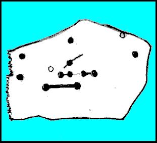
Just over 100 yards northeast of the chambered cairn in Crarae Garden we can see the denuded remains of this old mound, long ago held as the dwelling place of the little people. When it was first described in 1865, a standing stone was reported as surmounting the tomb, but this can no longer be seen.  Further excavations made by Sir George Campbell in 1923 and reported in the Oban Times, showed the cairn to have been 108 feet across and nearly 6 feet tall at the centre — beneath which a “stone coffin” was found.  It was said that two passages ran from this middle chamber: one to the southwest and the other roughly southeast.  Deposits of shells, antlers, and the bones of cattle, deer, horses and sheep were also found here.

References:

  1. Royal Commission on the Ancient & Historical Monuments, Scotland, Argyll – volume 6: Mid-Argyll and Cowal, HMSO: Edinburgh 1988:61.
  2. Scott, J.G., “Excavation of the Chambered Cairn at Crarae, Loch Fyneside,” in Proceedings of the Society of Antiquaries, Scotland, volume 94, 1961.

Links:

  1. The Fairy Knowe, Crarae – on Scotland’s Places

© Paul Bennett, The Northern Antiquarian

Torrisholme Barrow, Morecambe, Lancashire

Tumulus:  OS Grid Reference – SD 4596 6425

Getting Here

Various ways up this old hill, visible from all angles it seems.  I came up via the housing estate near where us friend lives, near Bare Lane Station, through the houses and up the footpath.  But you can just as easy (if not easier) walk up from the country lane and fields beneath its eastern side.  Much nicer!

Archaeology & History

Torrisholme Barrow
Torrisholme Barrow

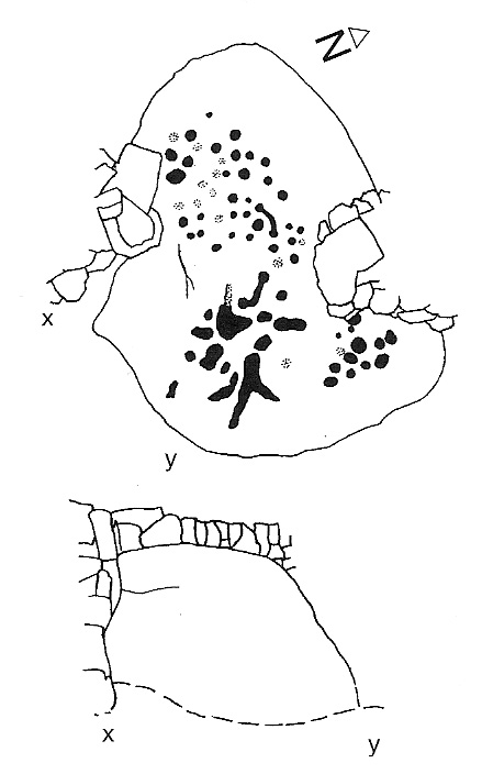
As many northerners will tell: gerrin information from the Lancashire archaeologists about prehistoric sites is troublesome (must be Southerners running the show!).  There’s tons of stuff in this good county, but archaeo-info is pretty poor on the ground.  This great old tomb for example, is designated as a “round barrow” on the Lancashire County Council monuments and records listing, but there’s no other info telling when it was dug, who by, the size of the tomb, what was found here, etc.  Pretty poor to be honest (c’mon chaps – get yer fingers out!).  The best info on-line comes from the more dedicated amateur enthusiasts.

A local historian told us that there was nowt up here, but my nose told me otherwise — so up we tramped!  It was pretty obvious once we’d got to the top here, that some ancient mound had been built up.

“This has all the hallmarks of a tomb,” I said.

Torrisholme Barrow, looking SW

The spirit of the ancestor herein (whoever s/he was) had excellent views and flights to numerous important hills 360° all round here.  A perfect place for a tomb! And when we returned into the Darklands of our Yorkshire abodes, we found this notion to be true.  Marked on early OS-maps as a tumulus, next to the tell-tale giveaway route of Barrow Lane, there are passing mentions of it in a couple of old local history books I’ve come across, but I’ve yet to find much more about it.  It’s a fine mound and of decent size, well worth checking out if you’re in the area.  Once I get more details of the archaeological finds from here, I’ll add the data to TNA (but based on past performances and responses from Lancashire archaeo’s, I wouldn’t hold your breath…)

And for any Morecambe historians who might be able to find more: what — if anything — is known of the ‘Fartle Barrow’, now swallowed by the encroachment of the sea, just a few hundred yards west of here?

Early OS-map showing barrow

Folklore

In days of olde, this site was an old moot or meeting hill: one of the northern Law or council meeting hills.  Quite how far back this gathering tradition up here goes, aint known.  We do know however that there was a christian tradition enacted here, at Easter, of local church doods taking a cross up the top of the hill (does anyone know the story behind the old Cross Hill, half-a-mile south of here?).  There’s obviously quite a lot more pre-christian activities occurrent round here than has been previously thought.

© Paul Bennett, The Northern Antiquarian

Douglas Terrace, Cambusbarron, Stirlingshire

Cairn (destroyed):  OS Grid Reference – NS 782 929

Archaeology & History

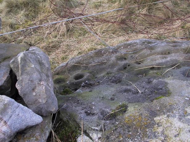
At the bottom of the ridge from the (supposedly) singular King’s Park cup-and-ring stone,” in a sand-pit adjoining Douglas Terrace,” we could once find the remains of a now lost prehistoric tomb.  First described in the Stirling Natural History Society’s Transactions in 1907, the Scottish Royal Commission lads (1963) told us that, “an urn from this cist was taken to the Smith Institue, Stirling, in a broken condition.” Anymore information about this site, or images of the fragmented urn, would be hugely appreciated.

It does seem very probable that the King’s Park cup-and-ring stone at the top of the ridge from here did relate to local neolithic or Bronze Age burial sites, as I suspected.  It’s highly likely that other carvings were (are?) hidden beneath, or round the edges of this Douglas Terrace and Kings Park region, as I suggested a few months ago.  It’s imperative that archaeologists in the district pay attention to this area before giving the go-ahead of any further landscape destruction.

References:

  1. Royal Commission on Ancient & Historical Monuments, Scotland, Stirlingshire – volume 1, HMSO: Edinburgh 1963.

© Paul Bennett, The Northern Antiquarian

Birkhill House, Cambusbarron, Stirlingshire

Cairns (destroyed):  OS Grid Reference – NS 780 926

Archaeology & History

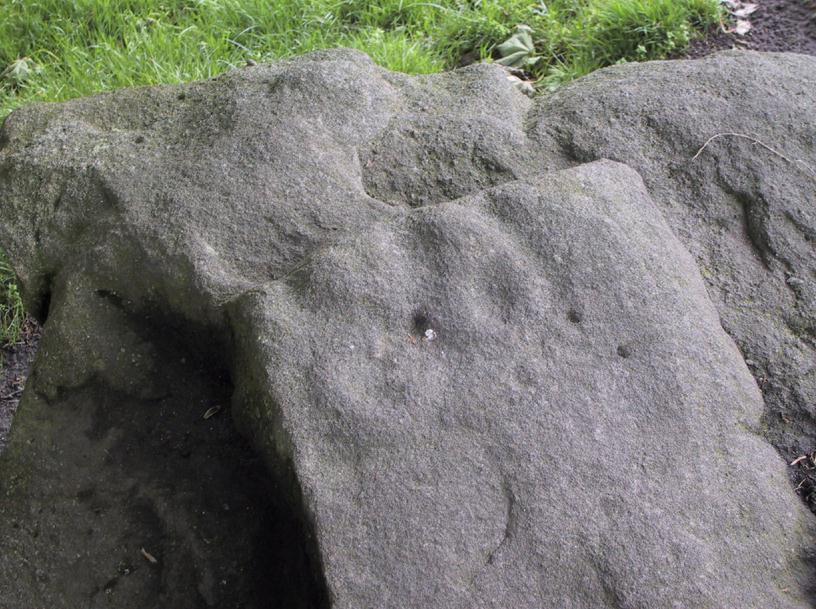
In times past, there were at least two prehistoric tombs in land either side of old Birkhill House, now covered by the M9 motorway.  The Scottish Royal Commission lads described the first as being “in the garden of Birkhill House,” continuing:

“This cist contained bones and an urn which measured 5in in height and 6in in diameter, and was ornamented with zigzag lines.”

They think, from its description, that “it may have been a food vessel.”  There were also the remains of another tomb to be found in “rising ground to the west side of” Birkhill House.  Both of these finds were first described in the local Transactions of the Stirling Natural History and Antiquarian Society in 1880.  It seems that little else is known about them. (Thanx again to Paddybhoy for prodding my attention here.)

References:

  1. Royal Commission on Ancient & Historical Monuments, Scotland, Stirlingshire – volume 1, HMSO: Edinburgh 1963.

© Paul Bennett, The Northern Antiquarian


Coneypark Nursery, Cambusbarron, Stirlingshire

Cairns (destroyed):  OS Grid Reference – NS 783 926

Archaeology & History

At least two old tombs that could once be seen here are long-gone by all accounts.  They could be found 200 yards south of the remaining King’s Park cup-and-ring stone.  The first was described by the Royal Commission lads (1963) as a well-defined cist, “situated within a gravel mound and (it) contained a skeleton.”  Another tomb site was described a few years later:

“A second short cist was found just within the cairn material 3m SE x E from cist no.1.  It consisted of a capstone set on built-up side walls, the bottom courses being five slabs on edge.  The internal measurements were 64cm long and 48cm wide and 60cm deep.  This second cist was orientied NE-SW with its floor made of small pebbles on which lay a late incised beaker and a small piece of human skull.”

References:

  1. Royal Commission on Ancient & Historical Monuments, Scotland, Stirlingshire – volume 1, HMSO: Edinburgh 1963.
  2. Thompson, J.K., “Coneypark: Bronze Age Cairn,” in Discovery & Excavation in Scotland, 1972.

© Paul Bennett, The Northern Antiquarian

Cunninghar, Tillicoultry, Clackmannanshire

Stone Circle (destroyed):  OS Grid Reference – NS 9256 9709

Also Known as:

  1. Druidical Temple

Archaeology & History

A stone circle was once to be found on the elevated piece of ground above the north-side of the main road between Tillicoultry and Dollar, but it was sadly destroyed sometime in the 19th century.  Listed in Aubrey Burl’s (2000) magnum opus, we have very little information about the place; though an account of the site was described in the Scottish Royal Commission report (1933) which told us that a —

“Stone circle, measuring about 60 feet in diameter, once stood here but was completely removed many years ago, when the stones, which are said to have been 5½ feet in average height, were taken to cover a built drain at Tillicoultry House”!

Site shown on 1866 OS-map
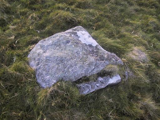
Stone at the destroyed site

Unbelievable!  Any decent local folk nearby wanna find out where this drain is, see if the stones are visible (though I doubt they are), so we can plan to uproot it and move the stones back somewhere nearby. There are a few decent spots on the slopes above where it would look good!

When visited by researchers in the 1890s, parts of an embankment which surrounded the destroyed circle were still visible.  Also, indicating there was some ritual funerary nature to the site, a local teacher called Mr Christie found the remains of an ornamented urn protruding through the ground next to where one of the monoliths had stood.  Unfortunately in his attempts to remove the urn, much of it crumbled away.

Further examinations thereafter found that a burial was (seemingly) beneath the centre of the circle; and excavations here found that a covering stone of the tomb was covered in intricate cup-and-ring designs (see the Tillicoultry House Carving for further details).  Other prehistoric remains were found a little further up the hill from here.

References:

  1. Burl, Aubrey, The Stone Circles of Britain, Ireland and Brittany, Yale University Press 2000.
  2. Morris, Ronald W.B., The Prehistoric Rock Art of Southern Scotland, BAR 86: Oxford 1981.
  3. Robertson, R., ‘Notice of the Discovery of a Stone Cist and Urns at the Cuninghar, Tillicoultry…’, in PSAS 29, 1895.
  4. Royal Commission on the Ancient & Historical Monuments of Scotland, Fife, Kinross and Clackmannan, HMSO: Edinburgh 1933.

© Paul BennettThe Northern Antiquarian