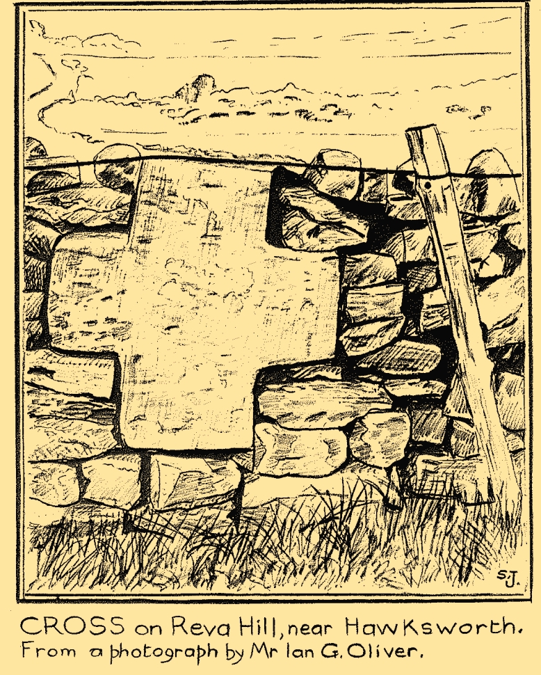
Cross: OS Grid Reference – SE 15297 42972
Also Known as:
- Plague Stone
- Riva Cross
- Stone Cross
Getting Here
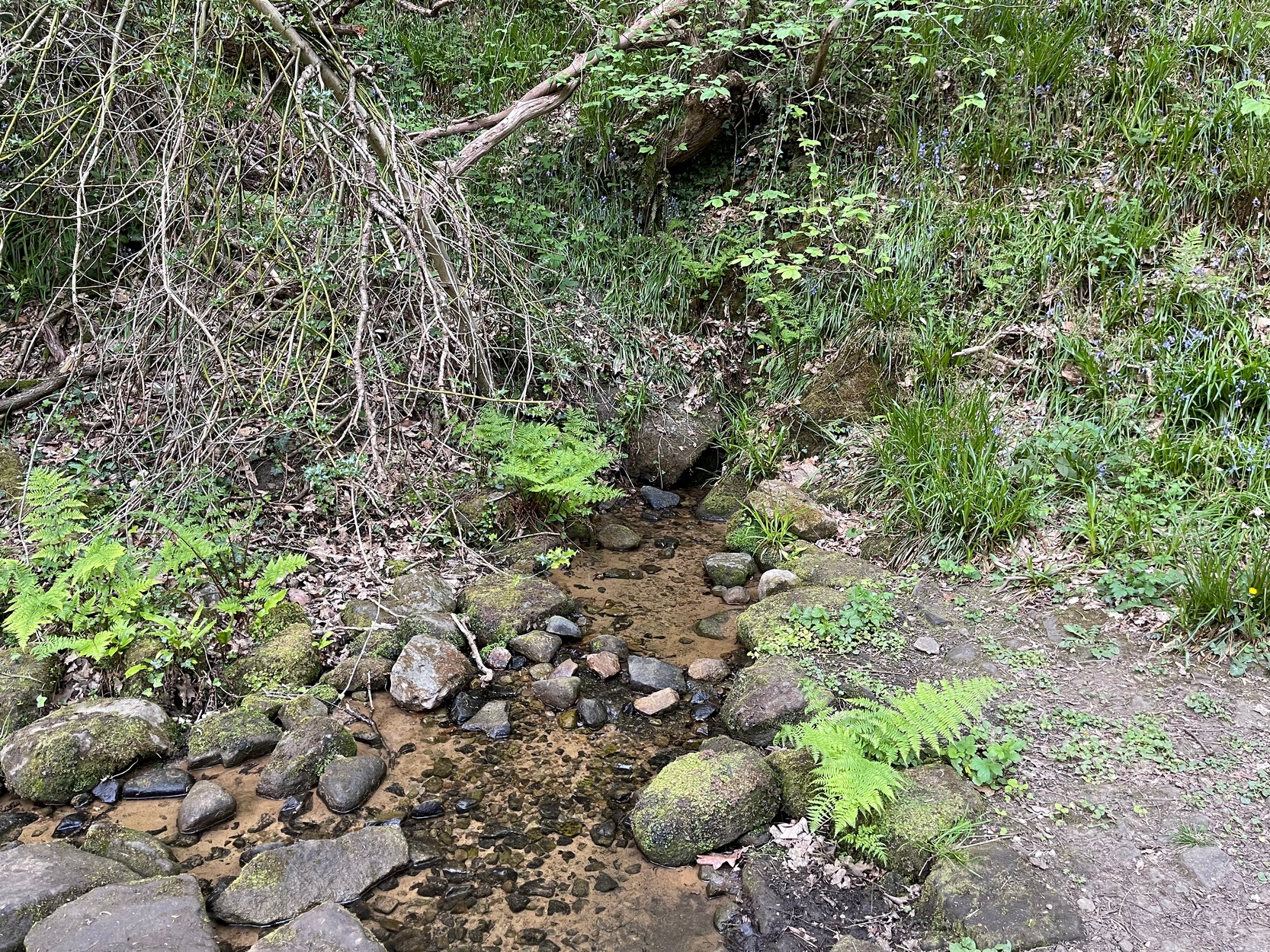
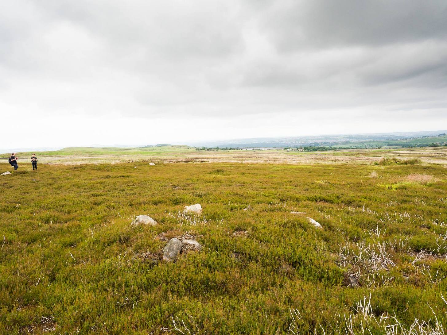
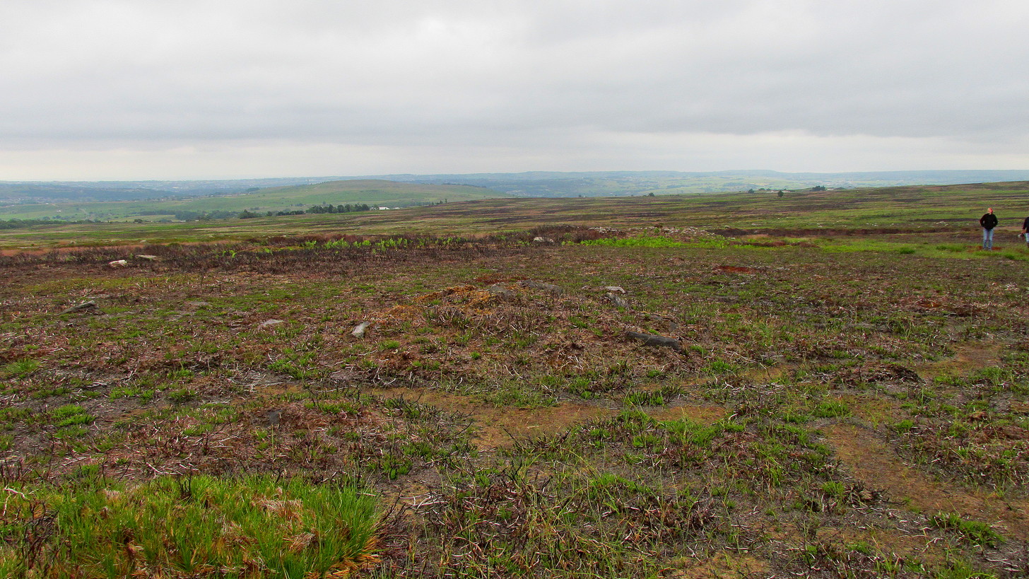
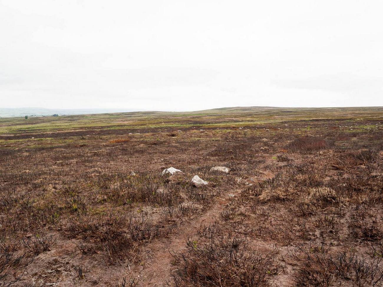
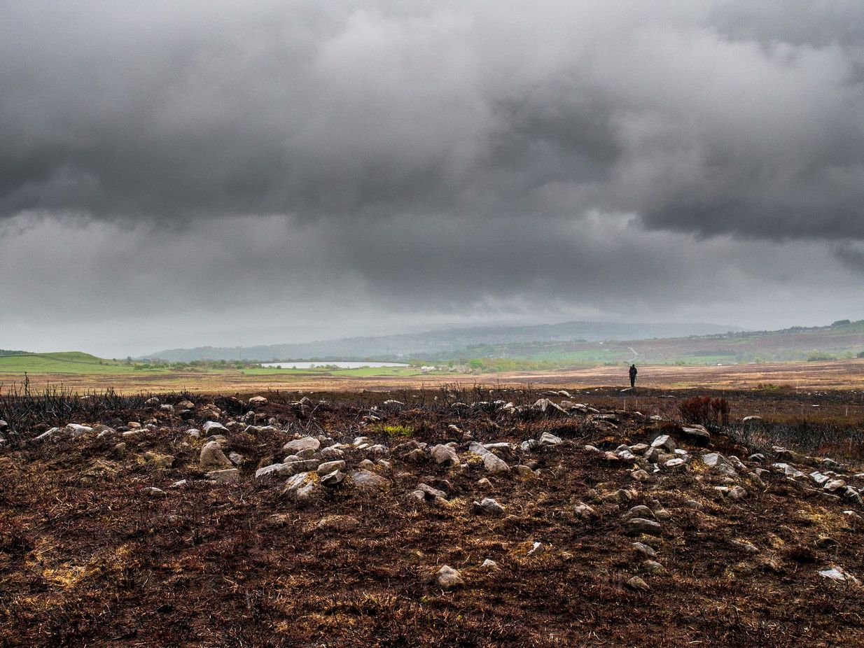
Two main routes to get here: i) from Dick Hudson’s public house, head left (east) along Otley Road (passing Weecher reservoir) for 1.9 miles (3.1km) until you reach Reva reservoir where a track leads you to the waters, and there’s a small parking spot on the left-side of the road. Stop here. (ii) coming from Hawkworth and Guiseley, head west along Hawksworth Lane which runs into Goose Lane and, at the T-junction at the end, turn right and nearly 500 yards along on the left-side of the road is the same small parking spot. From here, walk uphill for nearly 150 yards and then look at the walling to your left.
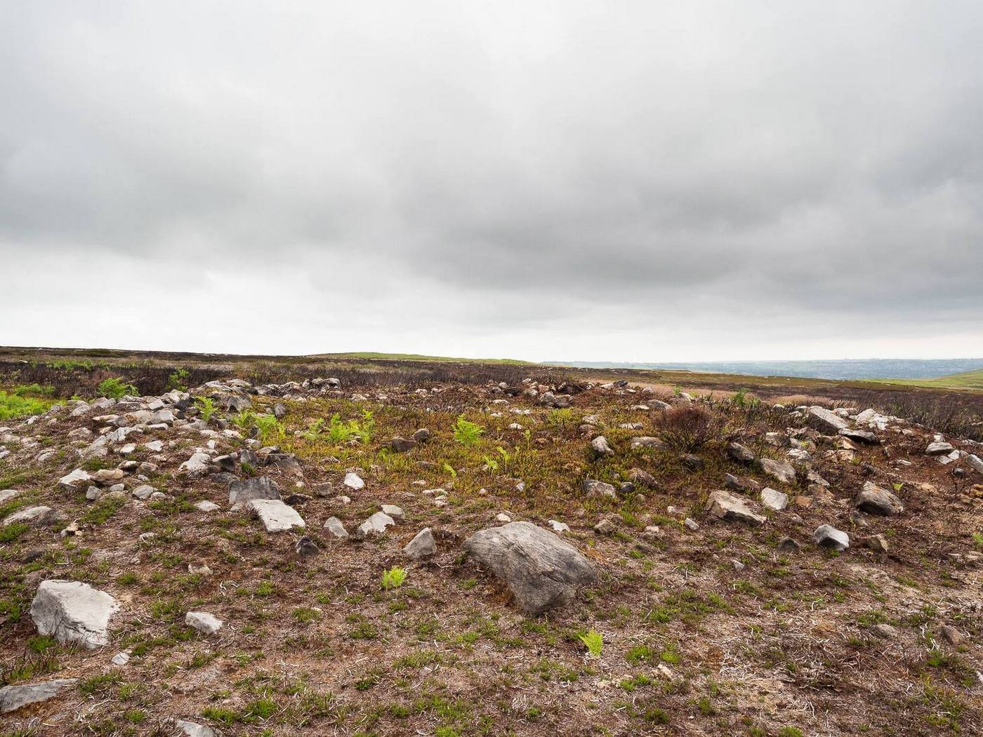
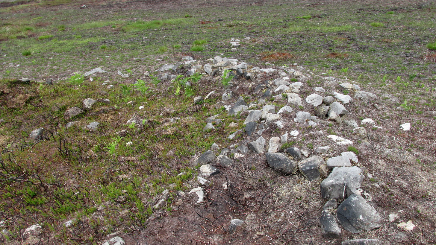
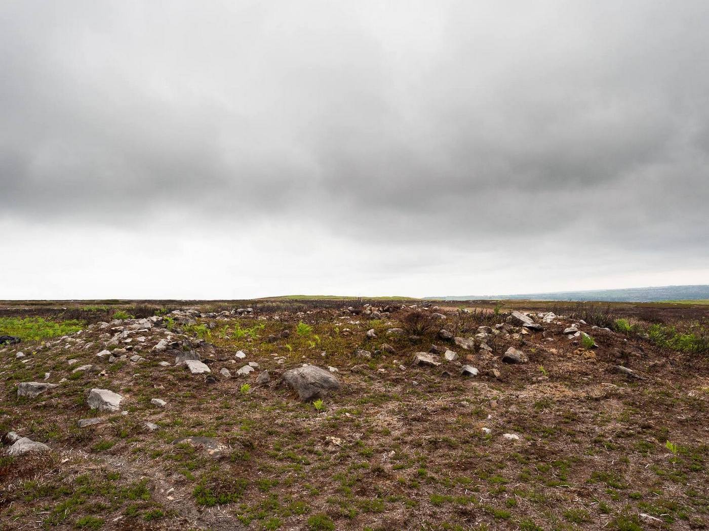
Archaeology & History
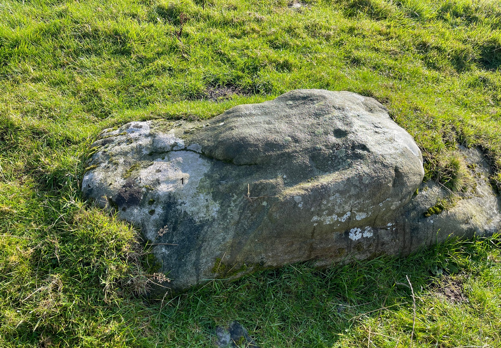
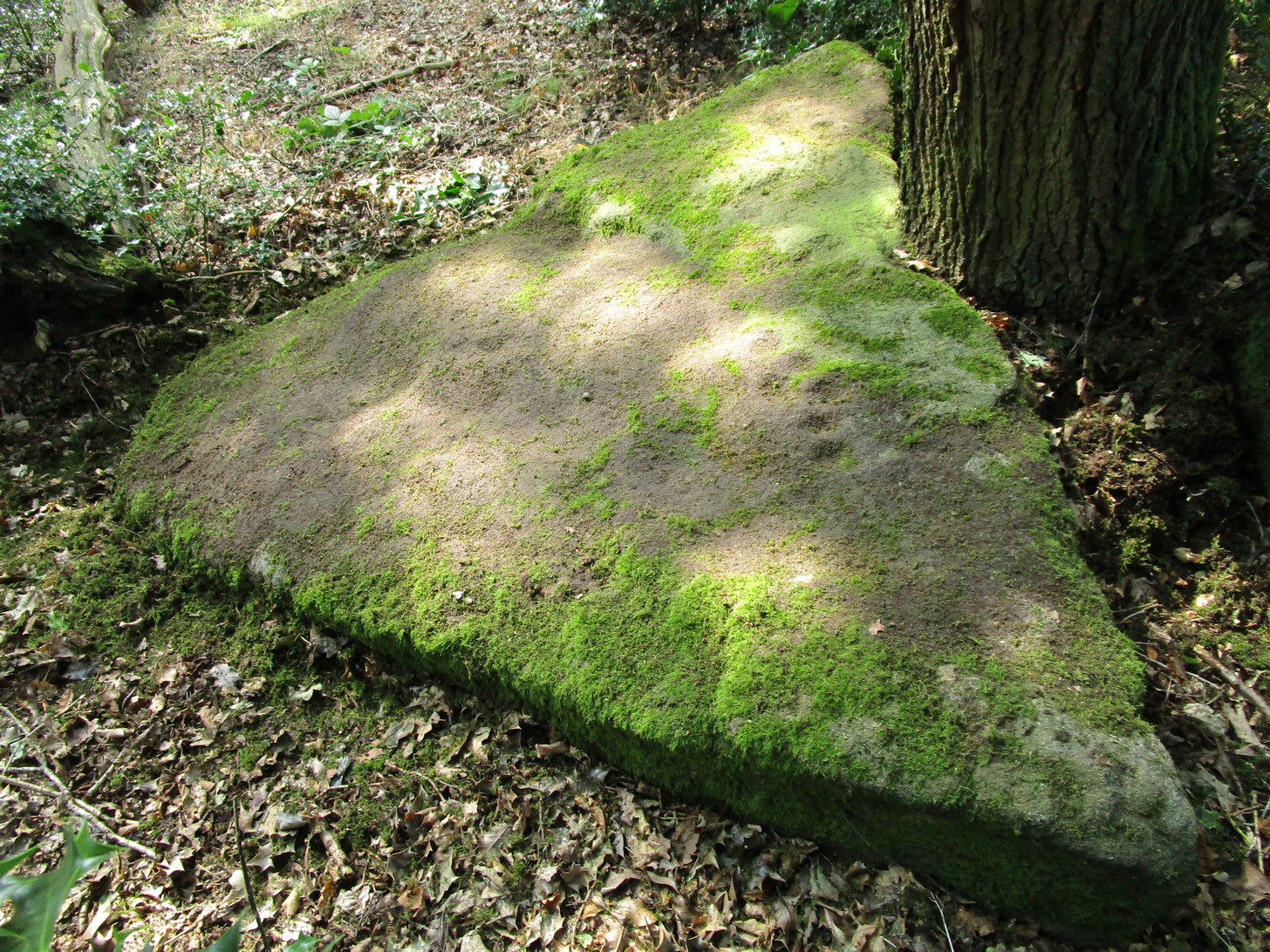
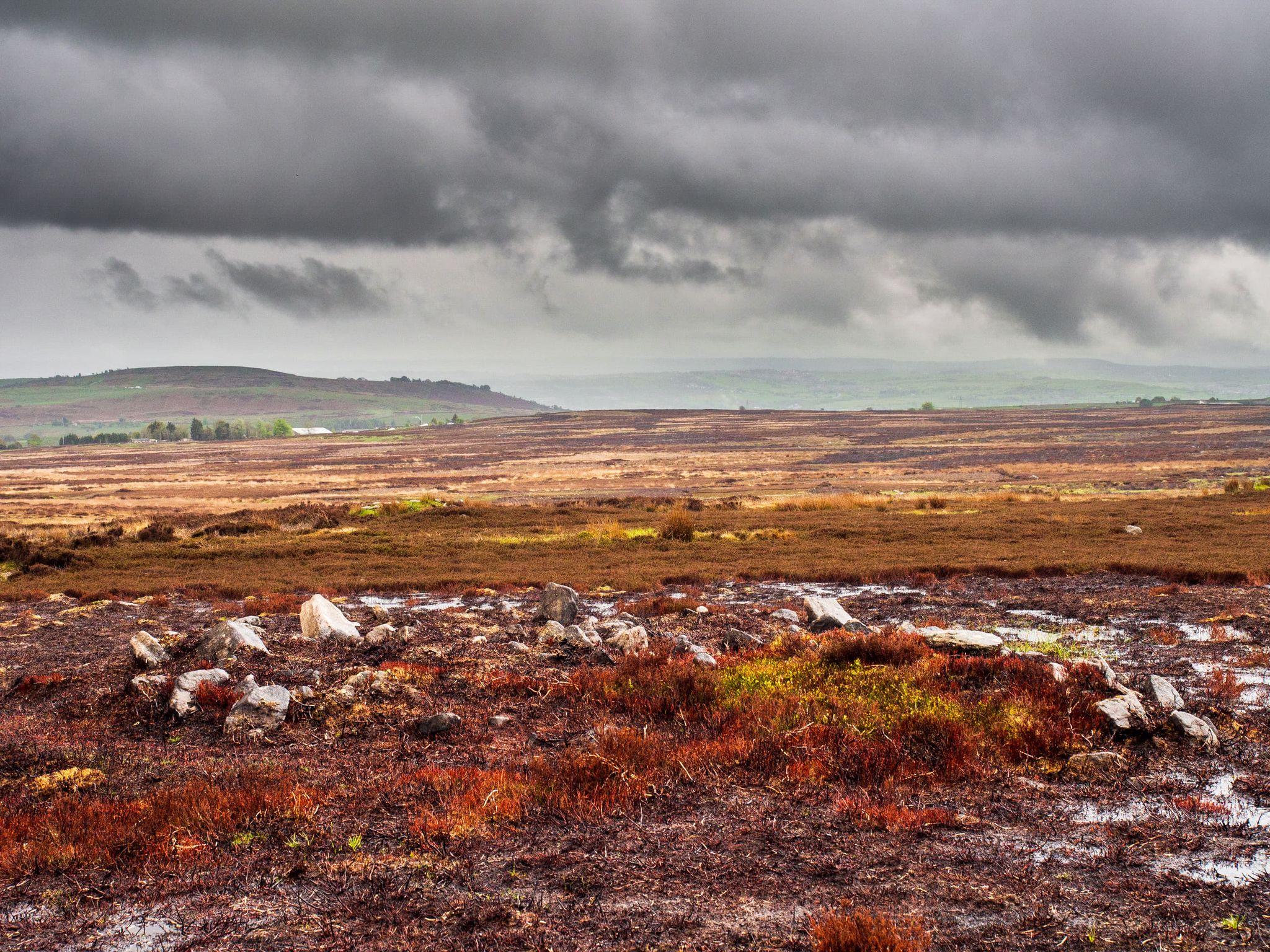
This relic can be found on the far eastern edges of Hawksworth Moor, near Guiseley, and was said by the historian Eric Cowling to have originally stood upon a large rock nearby. It has an odd history. Initially, the cross was an ancient boundary or mark stone, referred to in a 15th Century document and outlined by William Preston in 1911, that marked the limit of the southern township of Burley township. Local historian C.J.F. Atkinson asserted that this cross in fact came from Otley, although his ideas were considered somewhat “fanciful” by archaeologists and other historians.
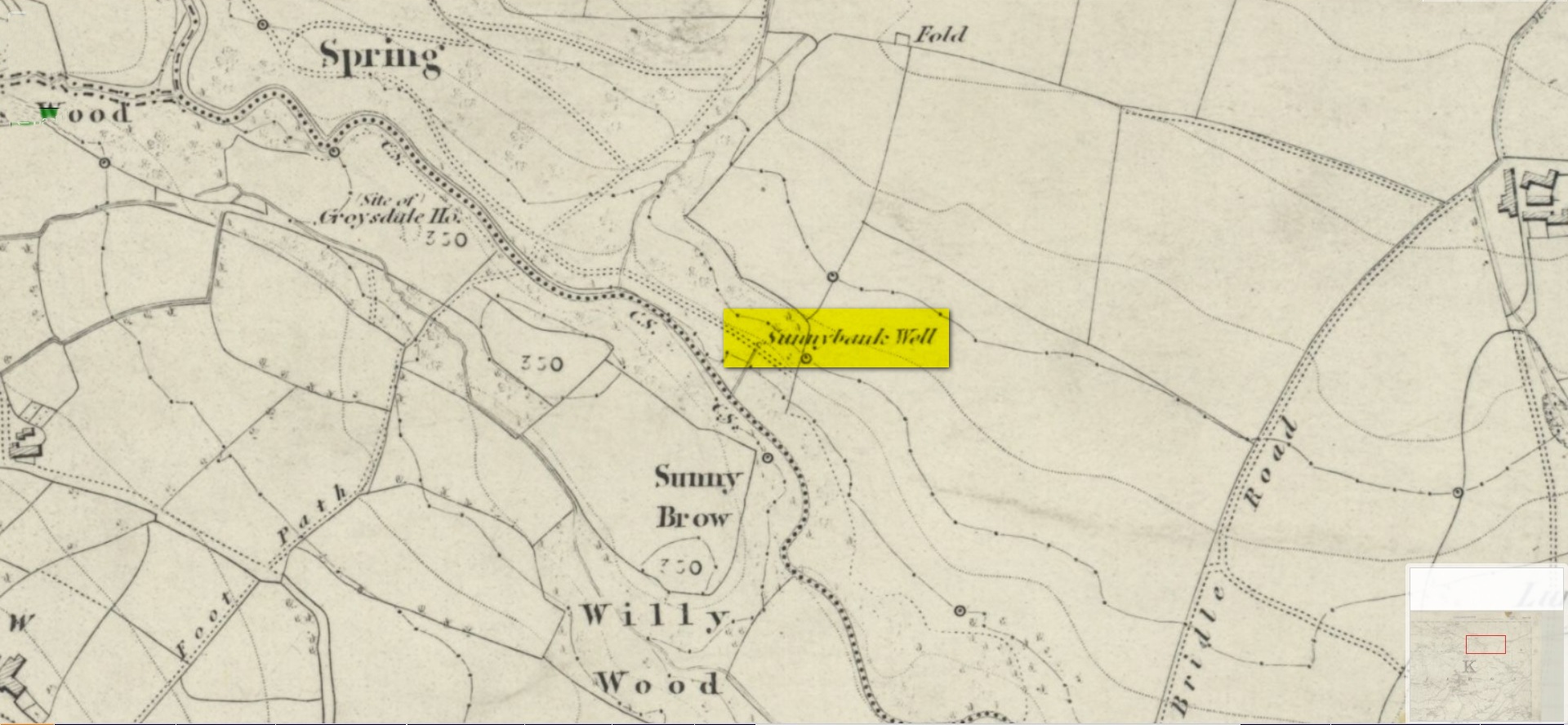
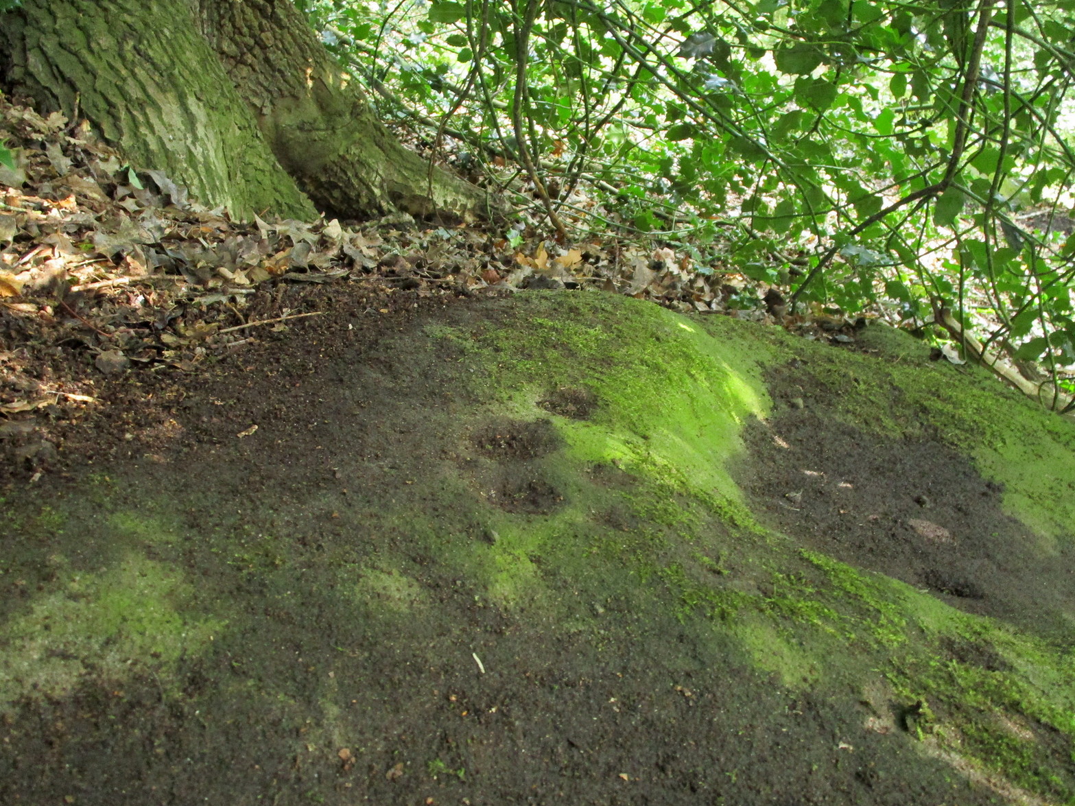
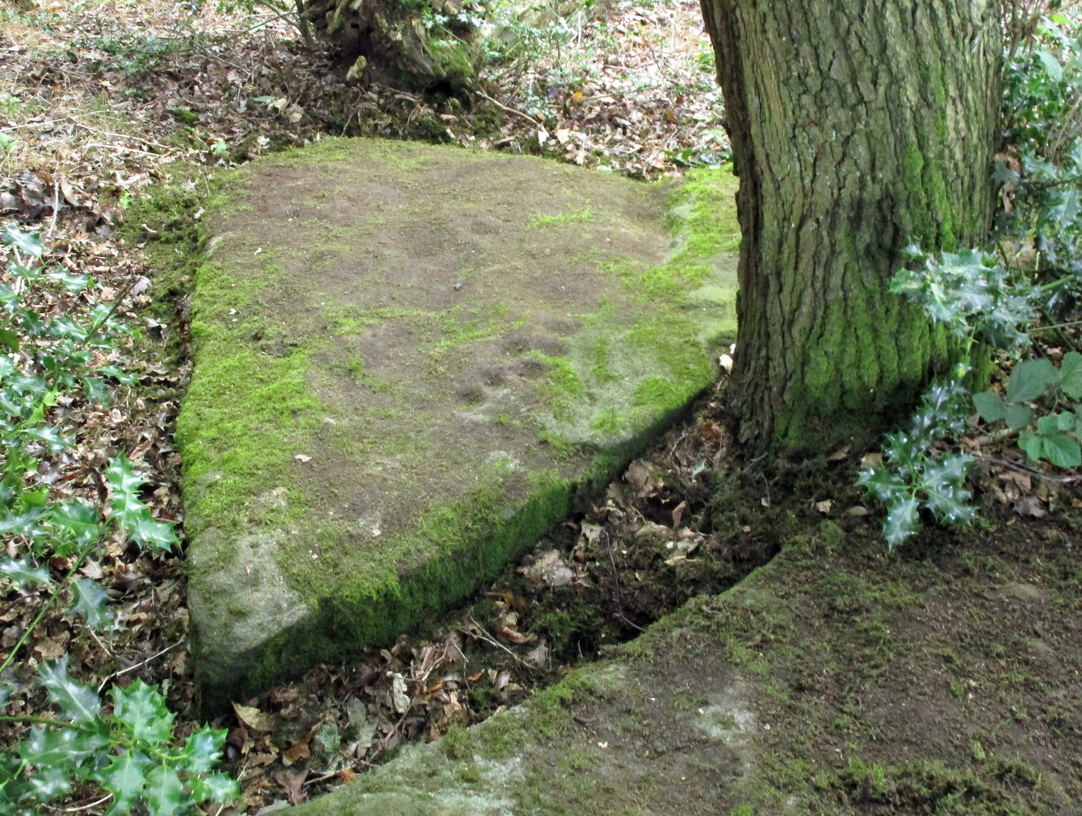
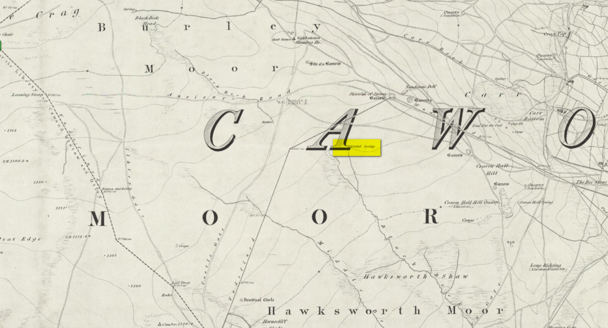
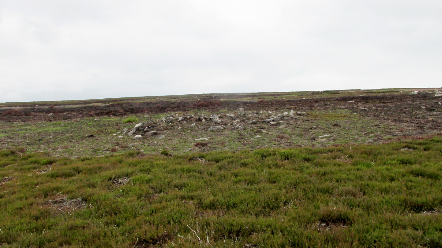
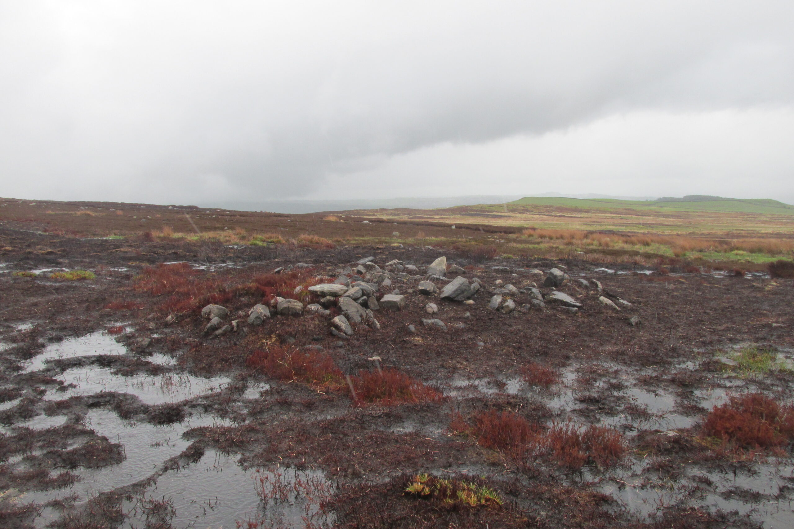
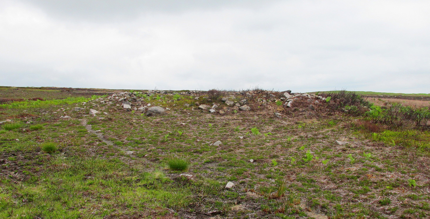
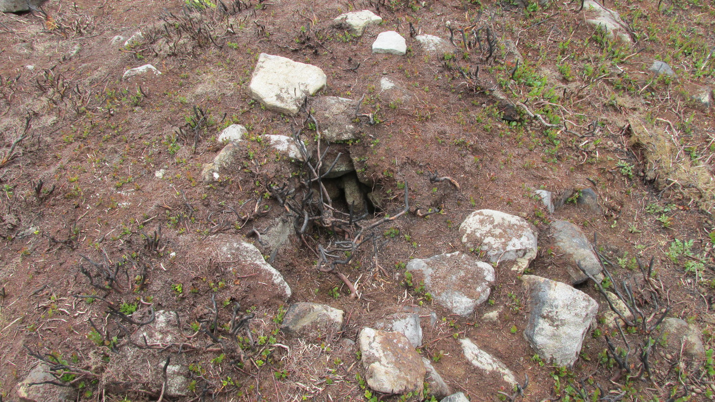
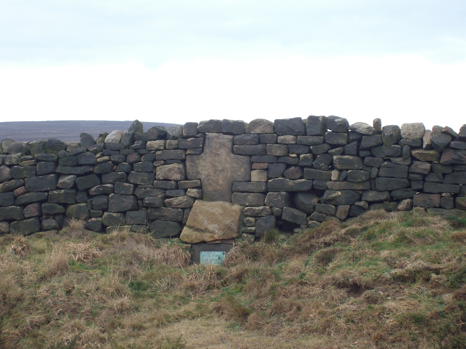
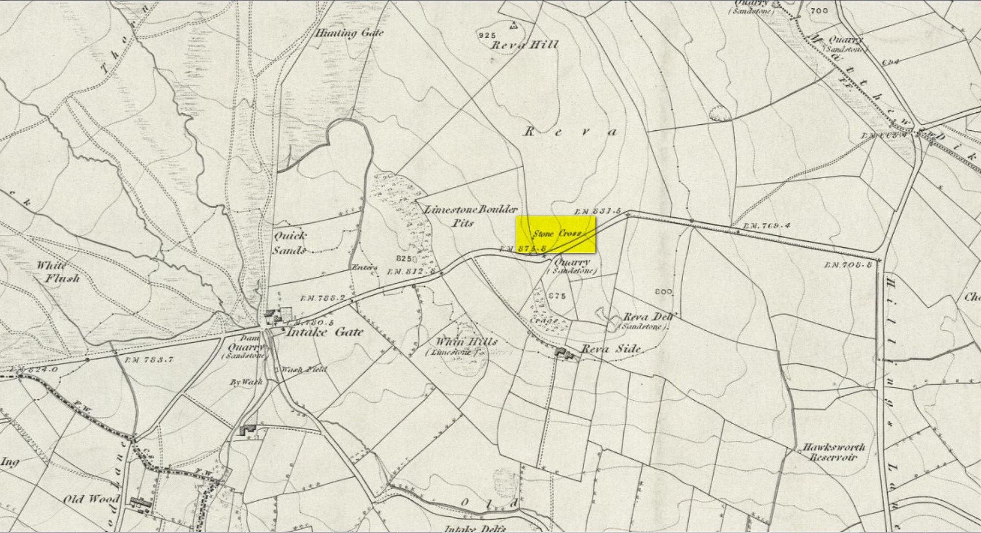
Its present position by the roadside is relatively new as it stood, not too long ago, a short distance away in the field to the rear, as highlighted on the early OS-map of this area. E.C. Waight of the archaeology division to Ordnance Survey wrote:
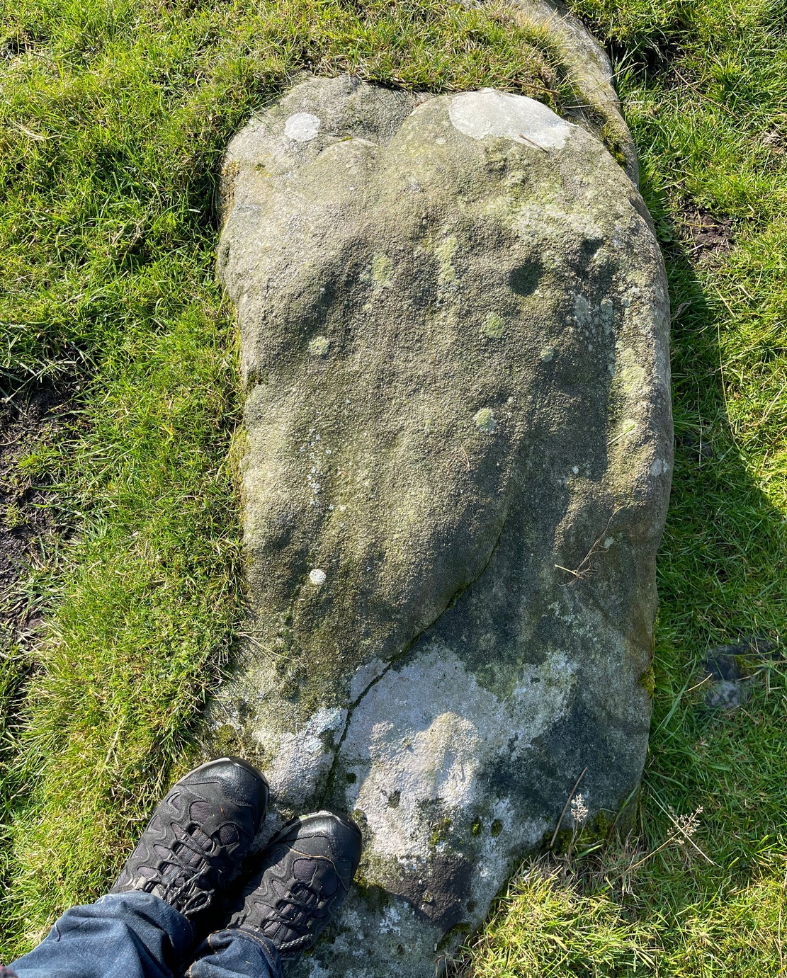
“Situated at SE 1530 4297 on the western side of the gate from the road into the field containing the remains of Reva Cross is a cross base (apparently in situ) serving as a bolster stone to the wall head at the gate opening.”
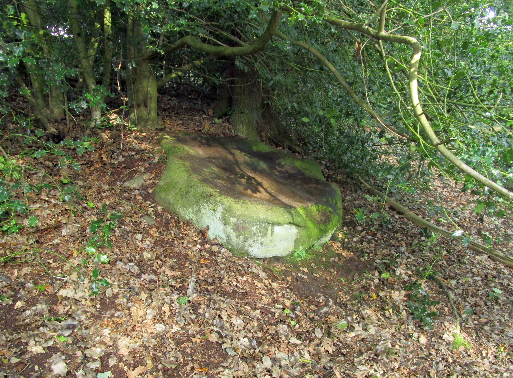
He described the dimensions of the base and the remainder of the cross, both of which “are contemporary with one and other,” he told. In the 1960s, the local council moved the cross to its present position.
Tradition told that despite its religious symbolism, it was also used as a market cross in bygone times. A certain Mrs Fletcher (1960), writing to the Cartwright Hall Archaeology Group, narrated that,
“Mrs Turner Greenwood….tells me that her mother, who, if living, would be in her nineties, lived at Gaping Goose Farm on the western side of Reva Hill… Mrs Greenwood’s father.. .remembered the cross erected on this hill, and related seeing the roads black with people climbing to it from Otley and Bingley, for the market held there.”
Despite this, Sidney Jackson was somewhat sceptical of it being the site of a market. Weather conditions and the bleakness of the spot would have made this site somewhat intolerable, he thought. However, people in previous centuries were much hardier than modern people and so it’s not as unlikely as you’d initially think.
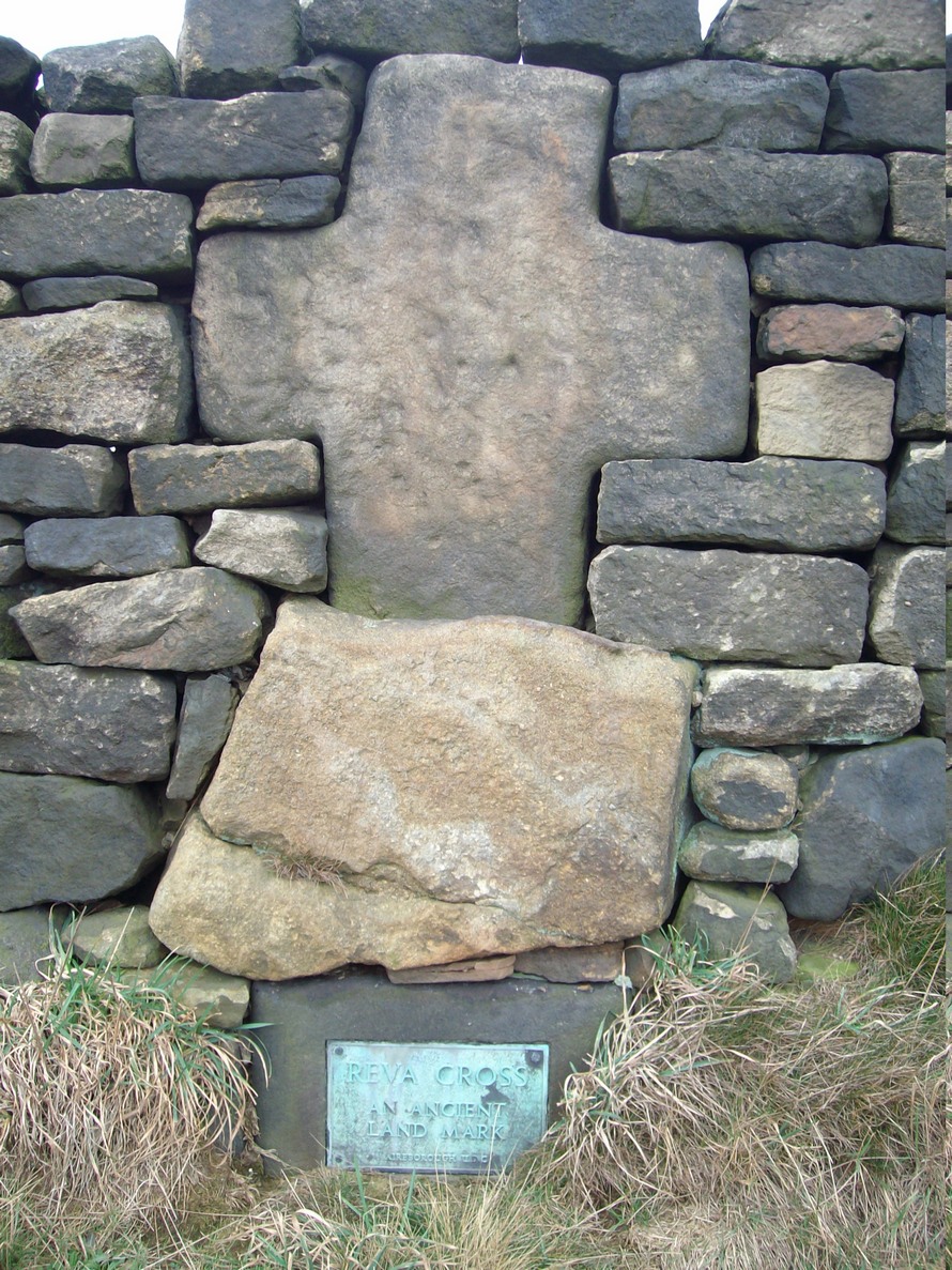
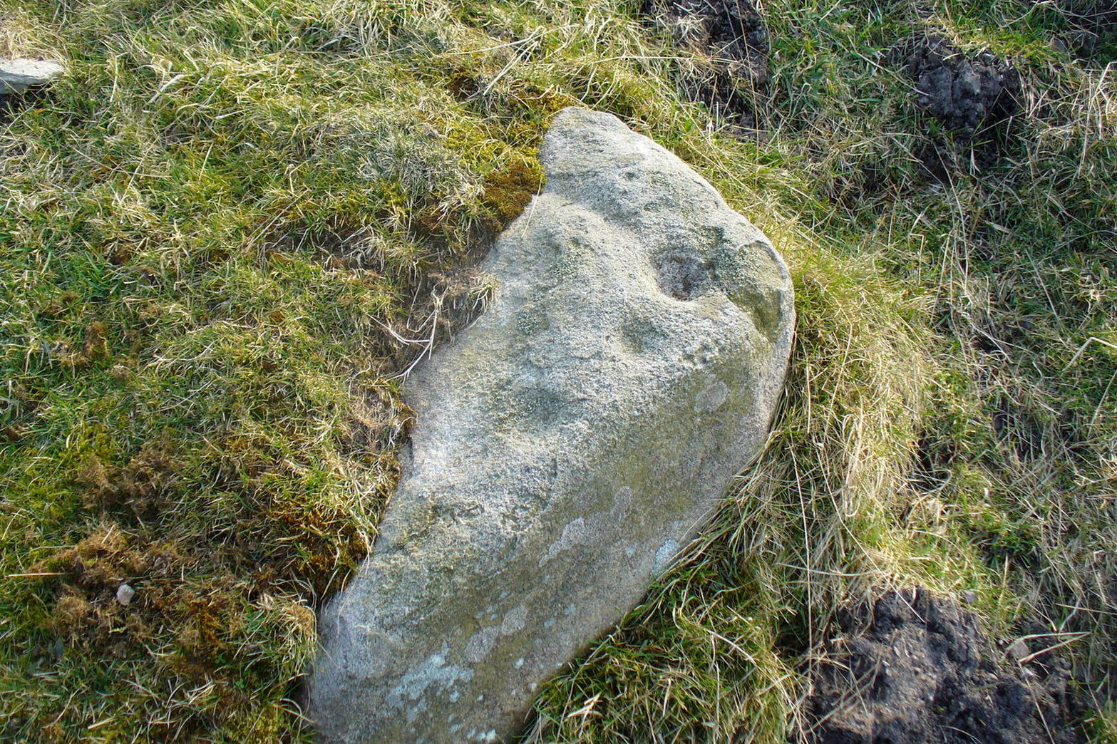
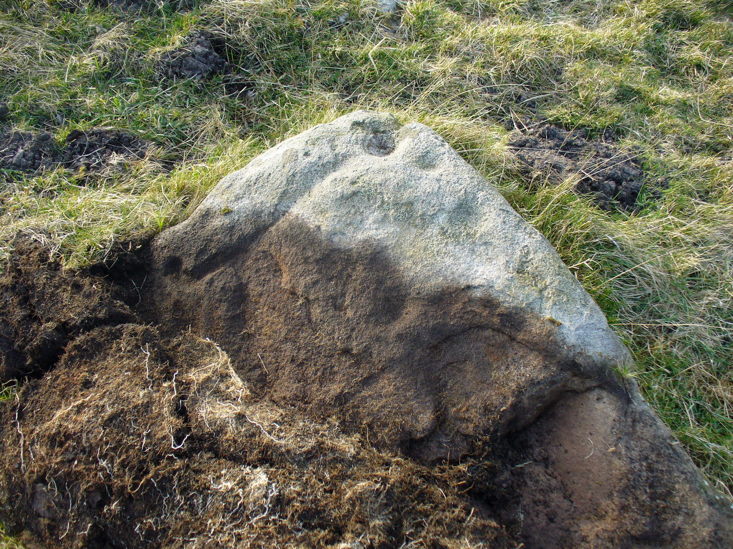
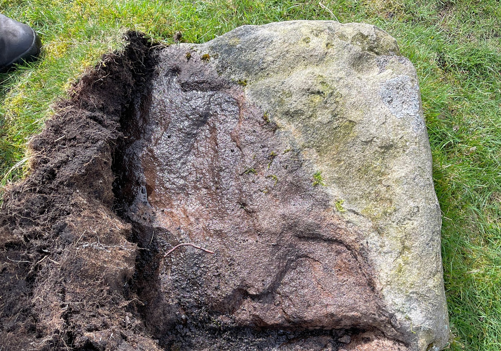
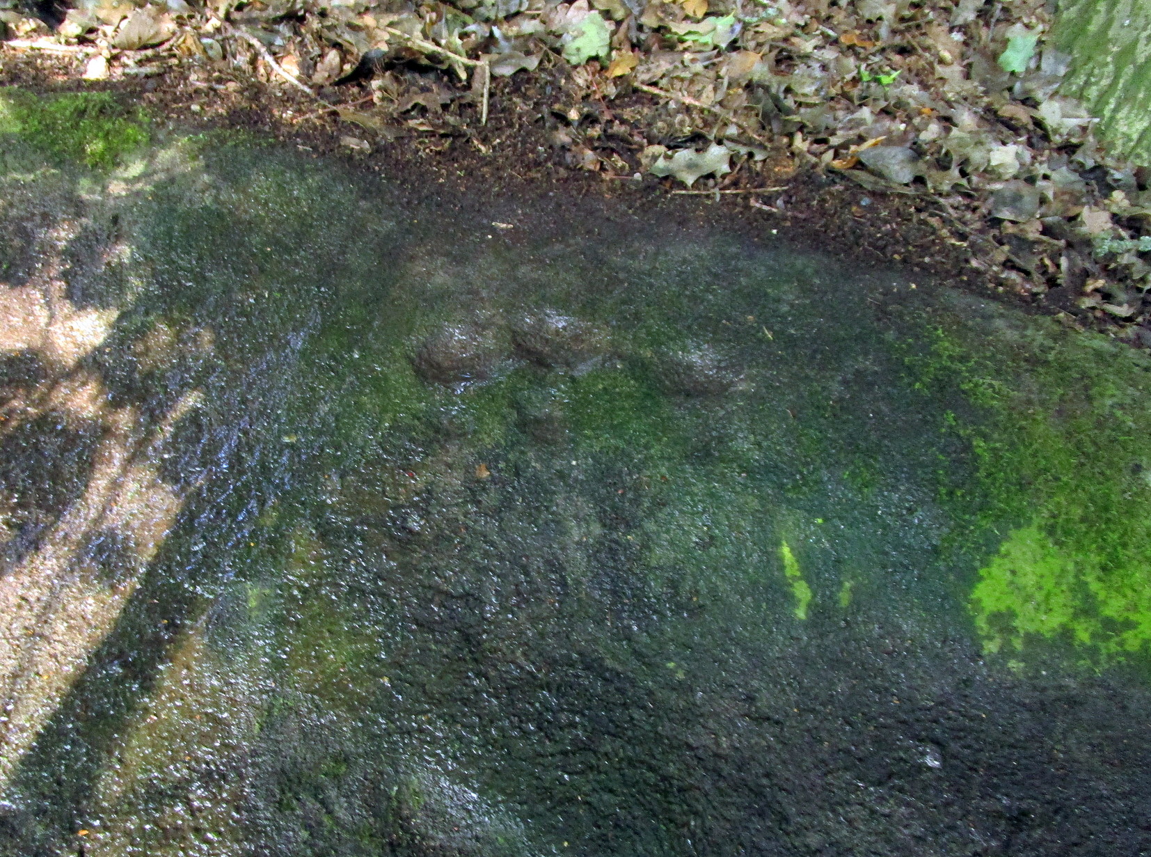
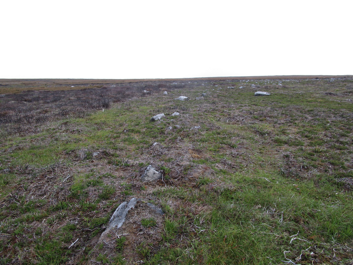
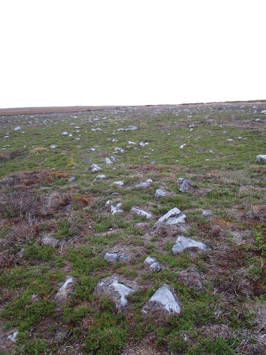
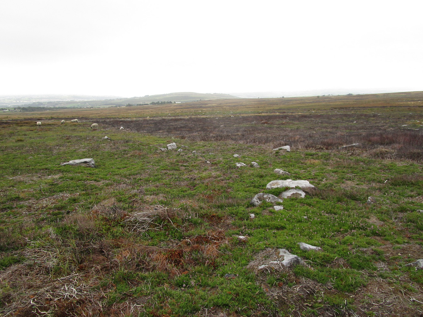
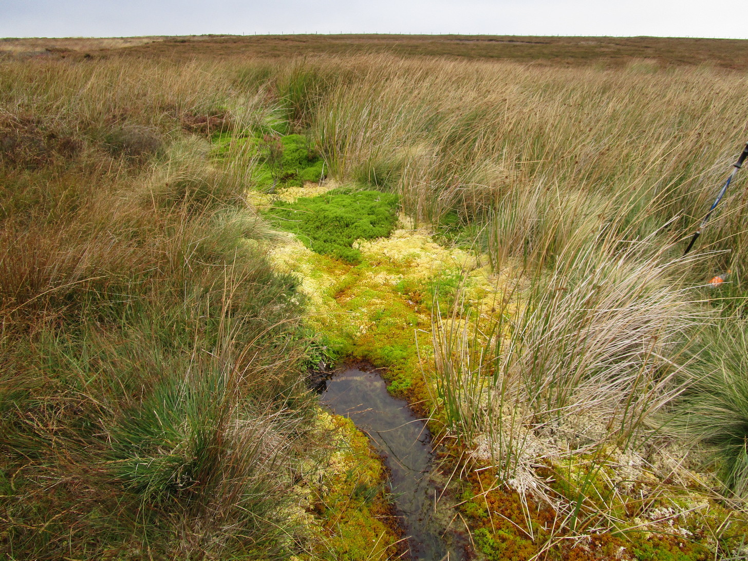
A much more interesting tradition of the cross was its use in times gone by as a Plague Stone. However, this name only applied to the cross-base at the time as no cross was stood upon it; merely a natural rock laid upon the moorside with a basin cut into it. It gained this name around the time of the great plague of 1660. During the plague, food was left on this table-like rock and money in return was placed in a basin full of vinegar. This tradition may have originated at the large natural rock bowl on one of the earthfast stones near the very top of Reva Hill a short distance to the west (also a number of cup-marked stones are close by and folklore records show that some cup-marks had healing properties). One account tells that it was Sir Walter Hawksworth (of the legendary Grand Lodge of ALL England masonic lodge) who was responsible for the siting of the cross as a Plague Stone.
References:
- Cowling, Eric T., Rombald’s Way, William Walker: Otley 1946.
- Cowling, Eric T., ‘Letter,’ in Cartwright Hall Archaeology Group Bulletin, 5:5, May 1960.
- Fletcher, Elsie, “Letter,” in Cartwright Hall Archaeology Group Bulletin, 5:5, May 1960.
- Jackson, Sidney, “Ancient Crosses,” in Cartwright Hall Archaeology Group Bulletin, 1:12, 1955.
- Jackson, Sidney, “Cross on Reva Hill,” in Cartwright Hall Archaeology Group Bulletin, 5:1, p.2, 1960.
- Jackson, Sidney, “Reva Hill Cross Base Found,” in Cartwright Hall Archaeology Group Bulletin, 9:9, September 1964.
- Jackson, Sidney, “Fresh Site for Reva Cross,” in Cartwright Hall Archaeology Group Bulletin, 11:7, July 1966.
- Preston, William Easterbrook, “On an Ancient Stone Cross on Riva Hill,” in Bradford Antiquary, New Series 3, 1911.
Acknowledgements: Huge thanks for use of the Ordnance Survey map in this site profile, reproduced with the kind permission of the National Library of Scotland.
© Paul Bennett, The Northern Antiquarian