Cup-and-Ring Stone: OS Grid Reference – NN 91195 25511
Getting Here
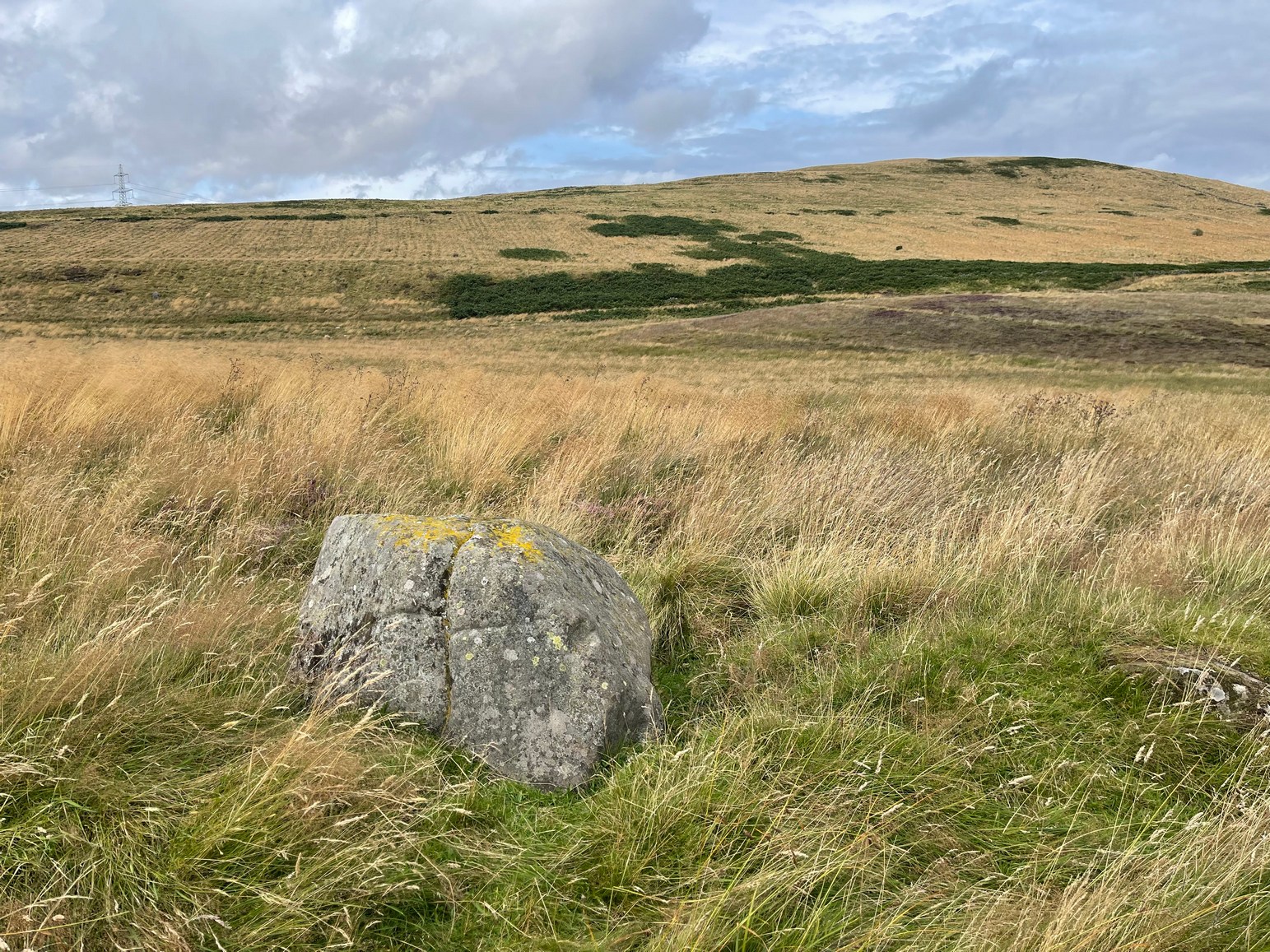
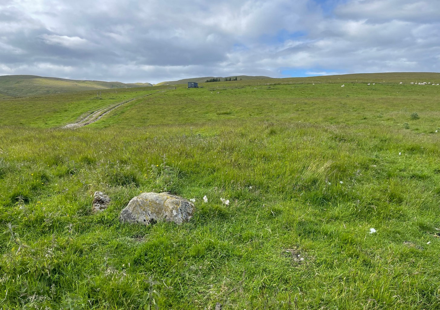
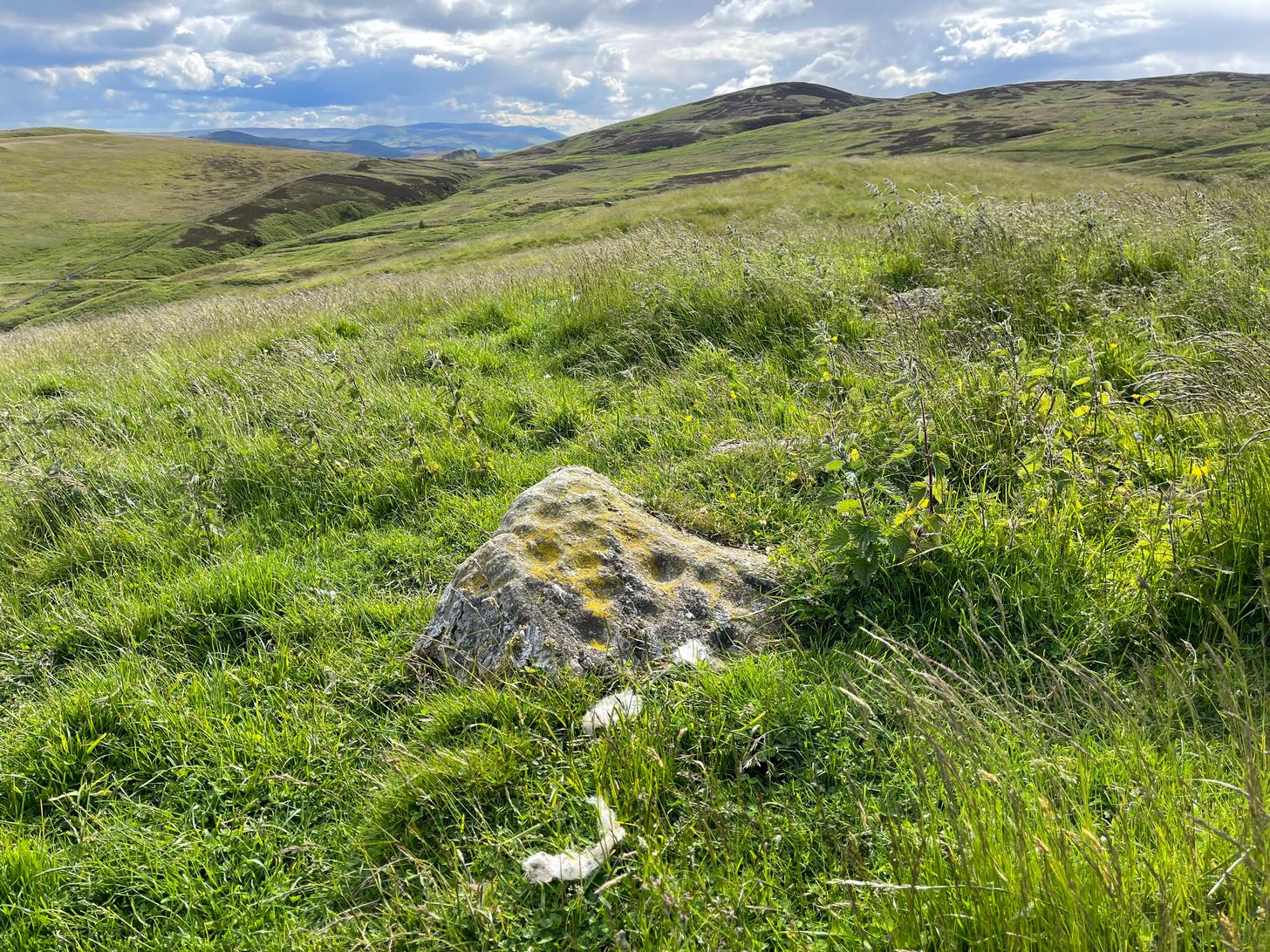
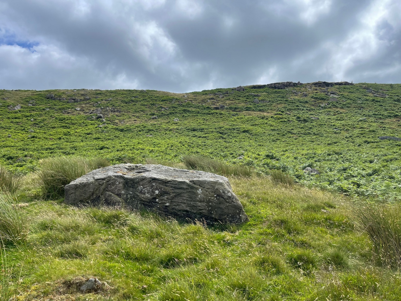
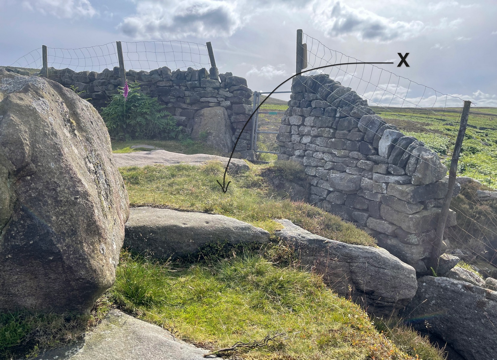
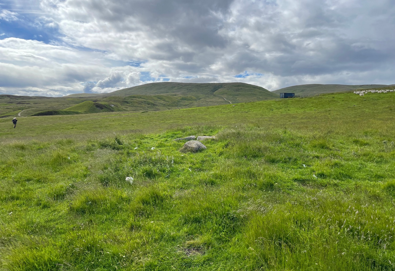
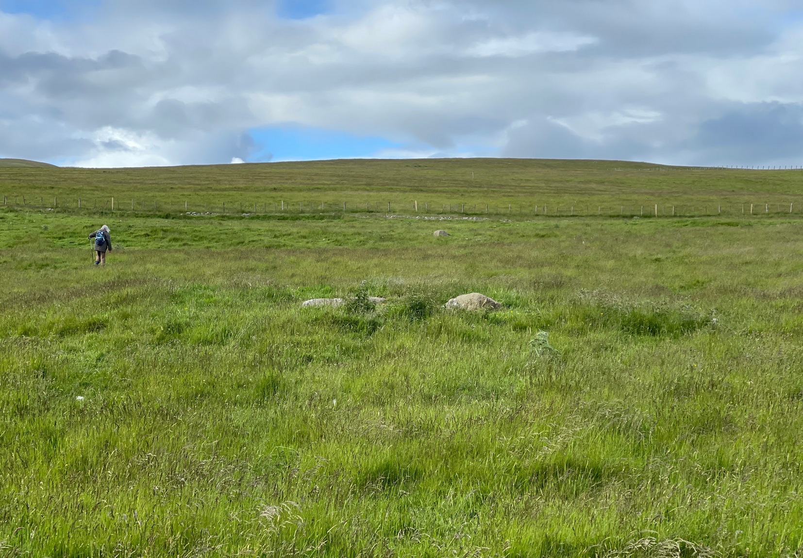
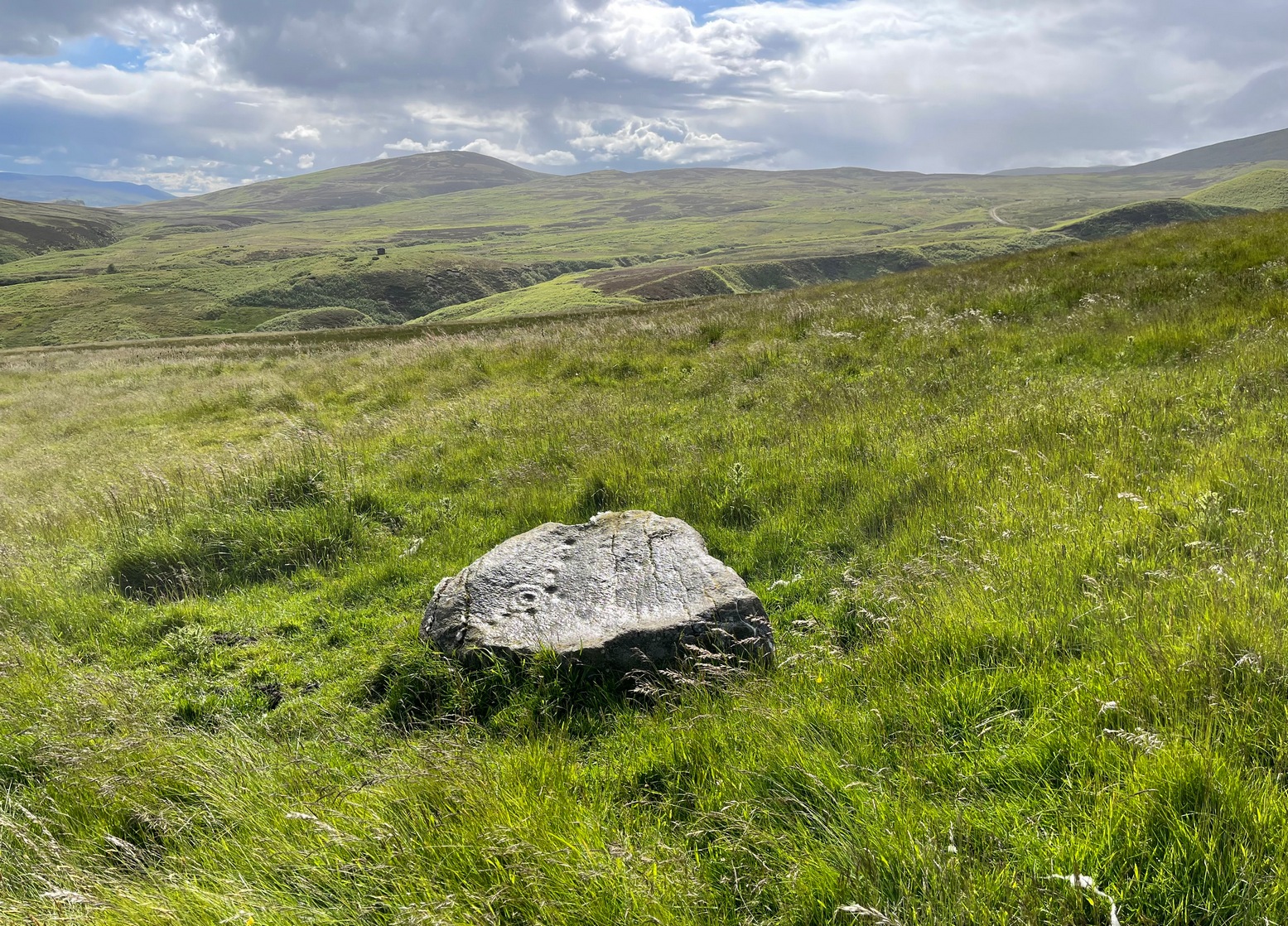
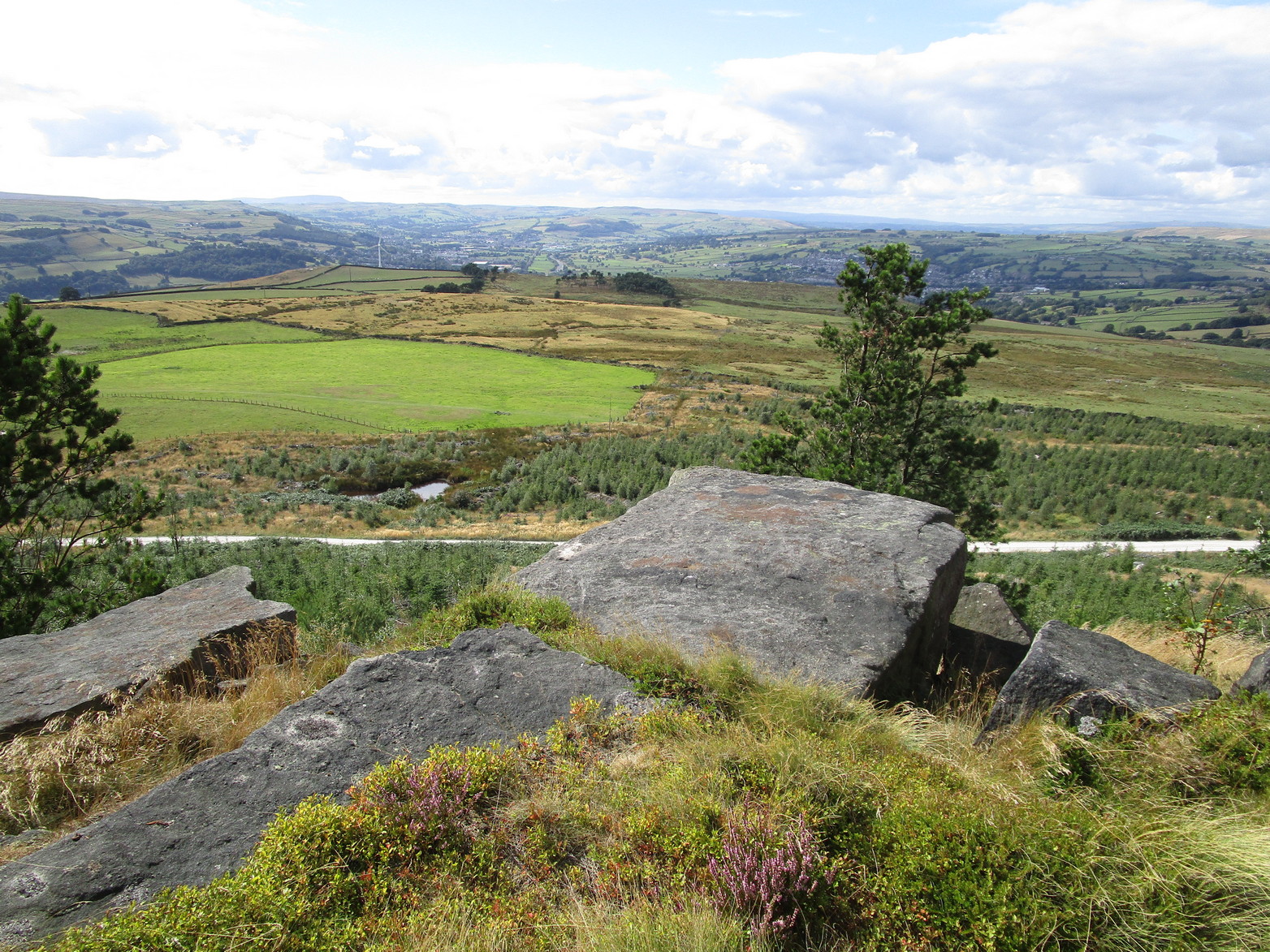
From Fowlis Wester village, head up the road for just over ½ a mile (veering sharp left at a junction) to the dusty car-park on the left-side of the road near the standing stones. From here walk along the track, past the standing stones, veering right to go downhill and cross the burn by the loch near the ruins of Ardoch house; then keeping uphill on the track for another half-mile or so and, just before a split in the dirt-track, you’ll see a reasonably large rounded boulder just a few yards above the track on your right. Y’ can’t really miss it!
Archaeology & History
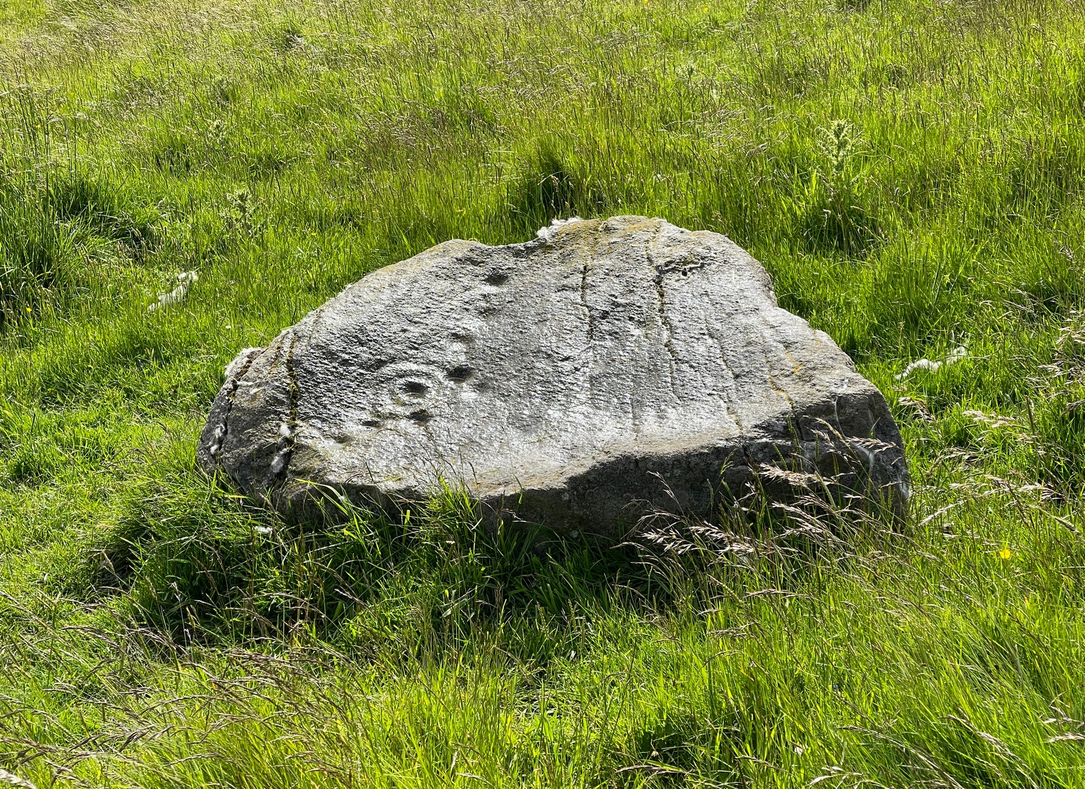
This previously unrecorded cup-and-ring carving was rediscovered a few years ago by local lady Fiona McLaren: an absolute fount of knowledge when it comes to ancient sites in this area. It’s a pretty basic carving but is certainly worth looking at on your way up to see the much more unusual petroglyph of Ardoch (2).
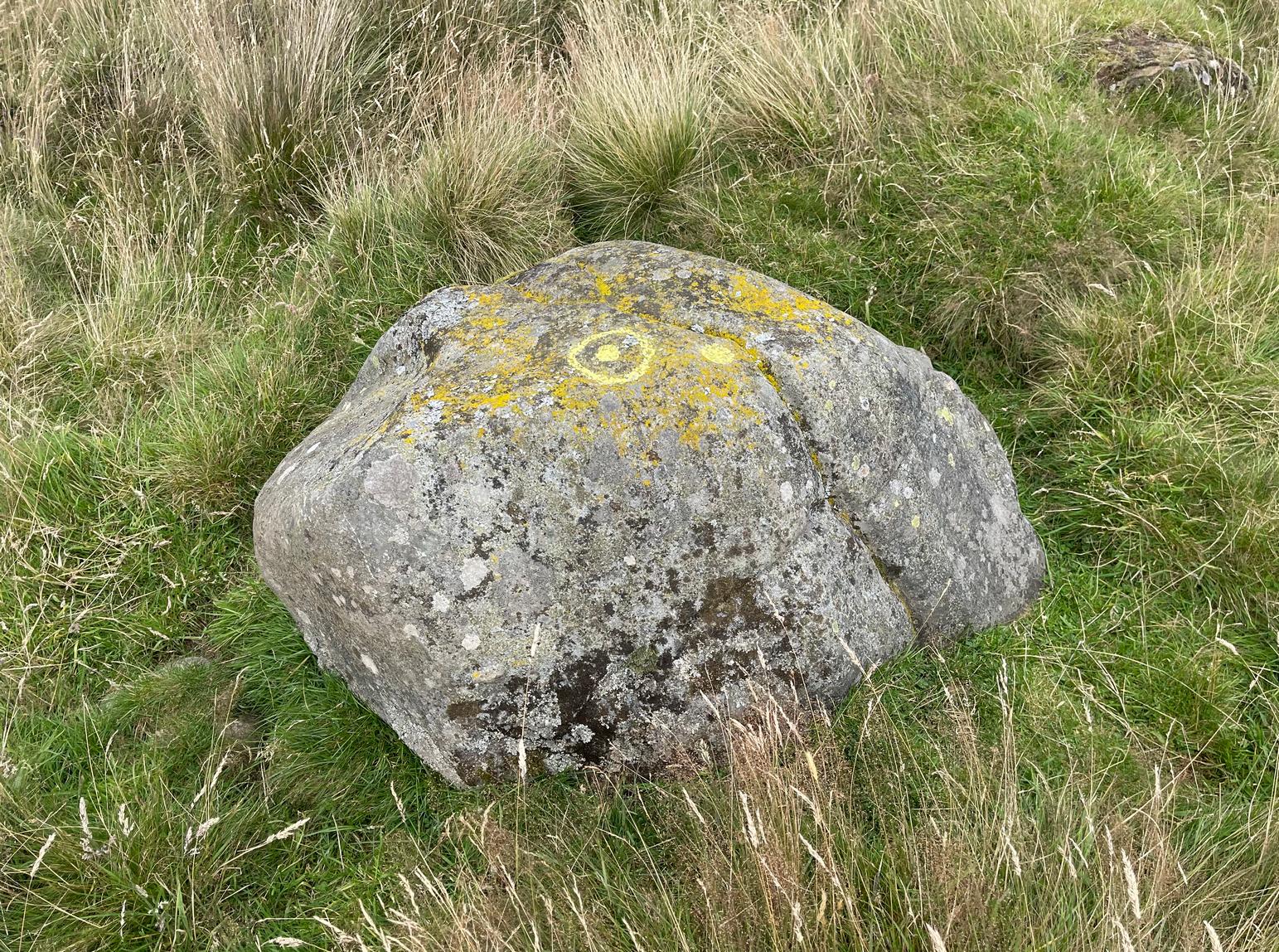
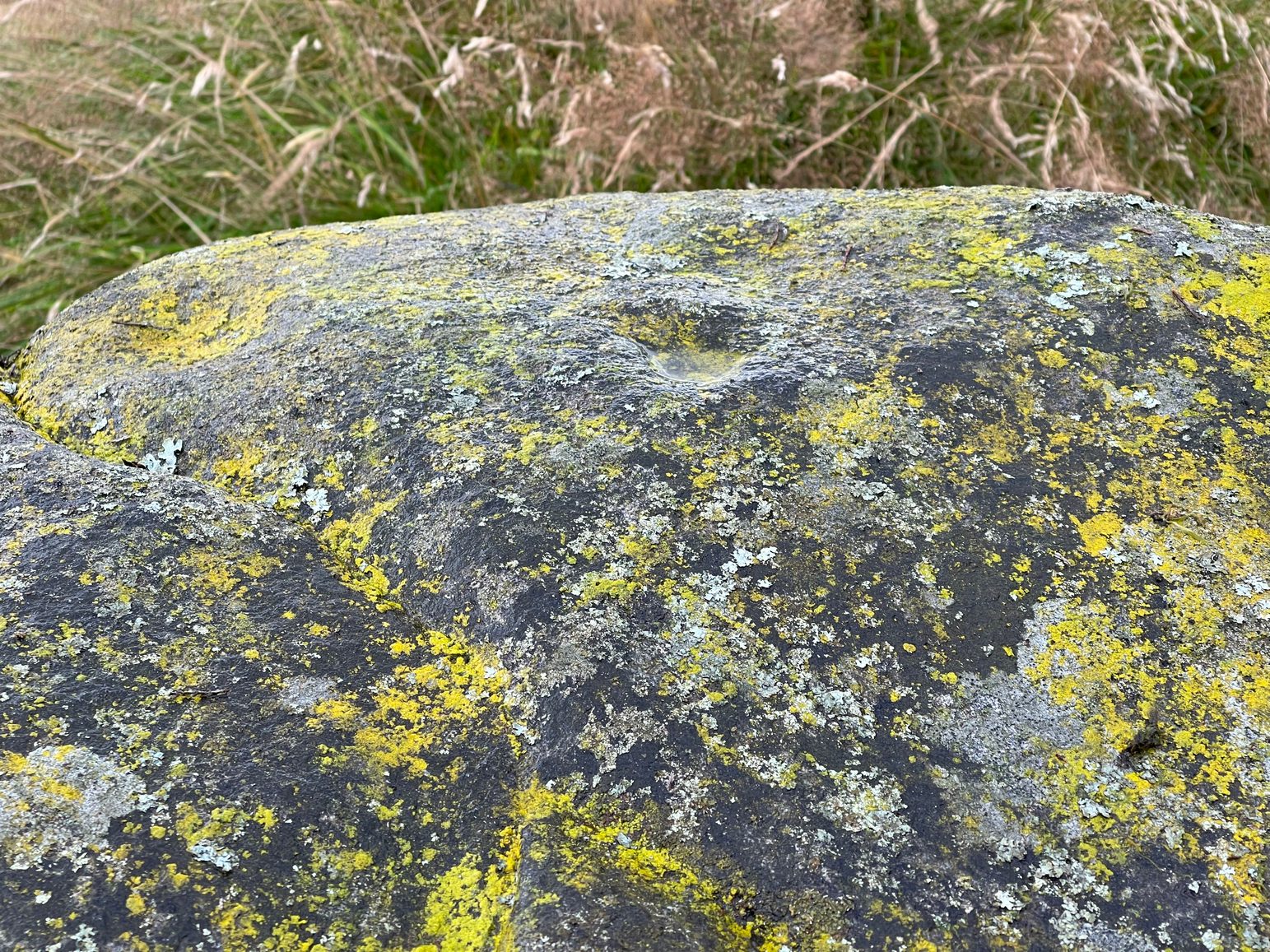
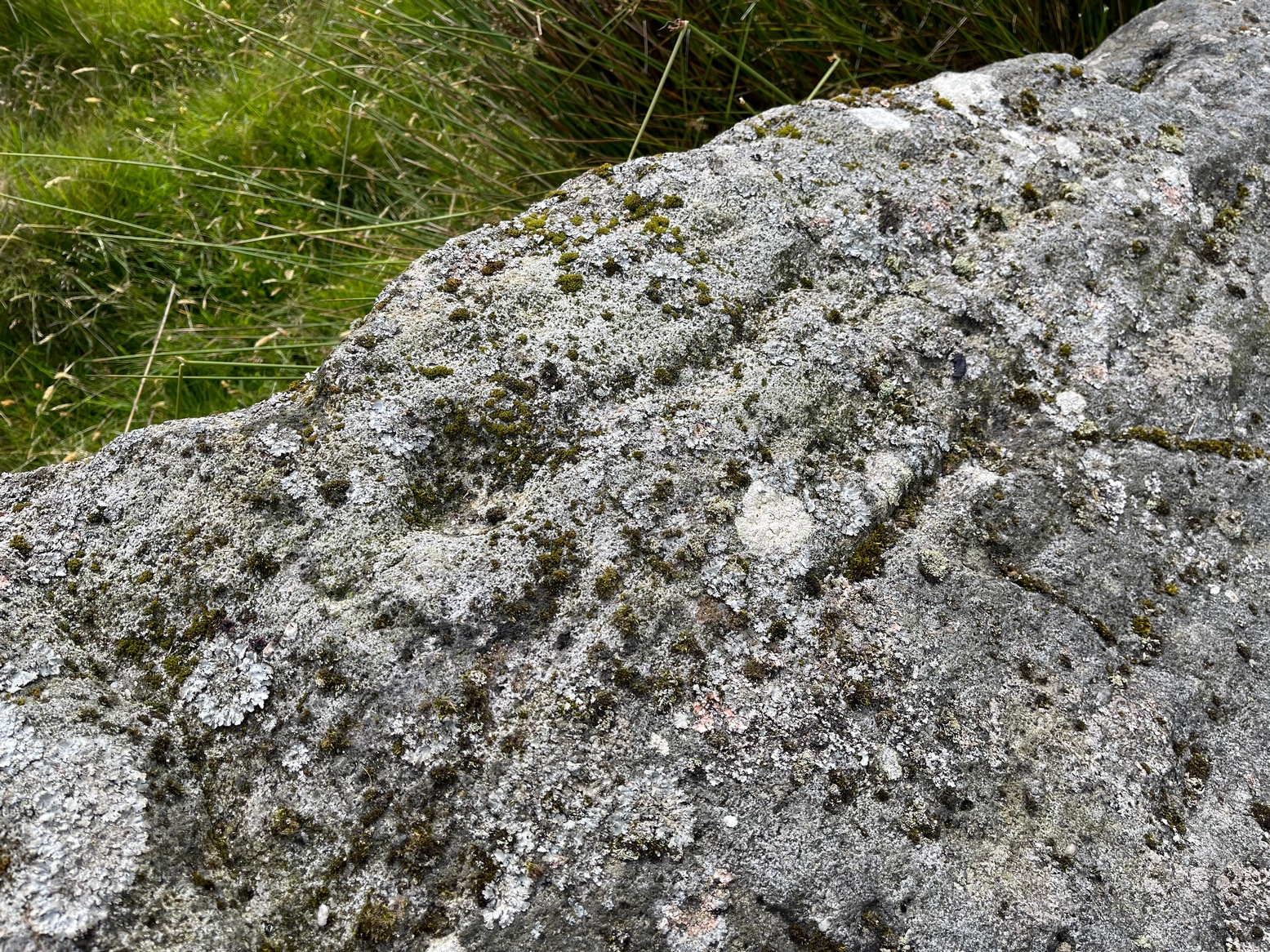
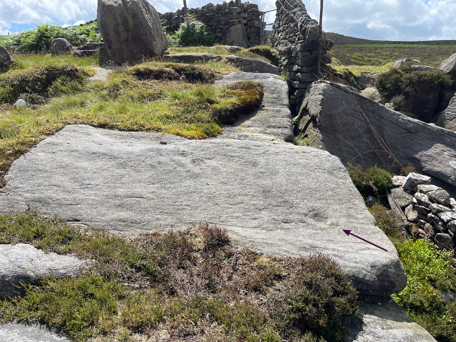
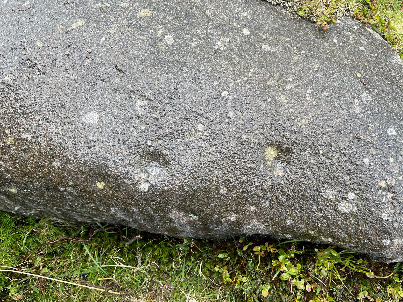
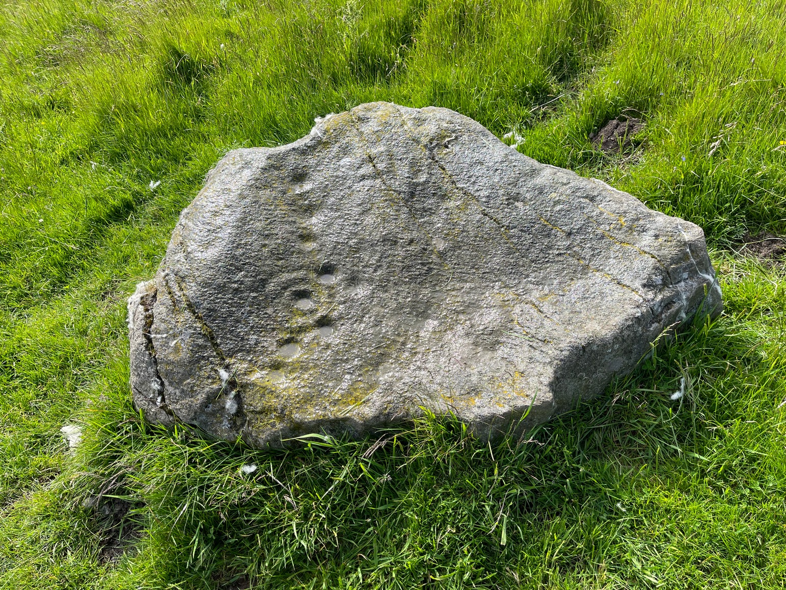
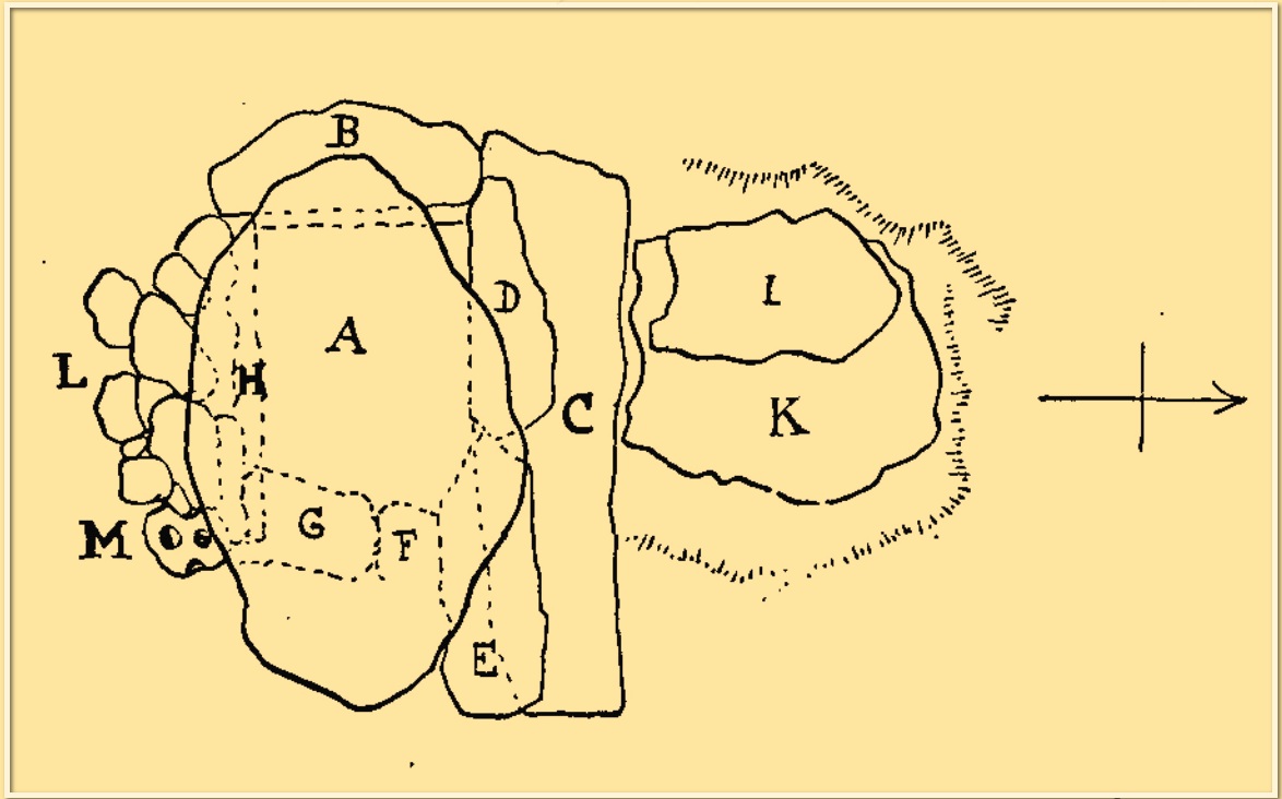
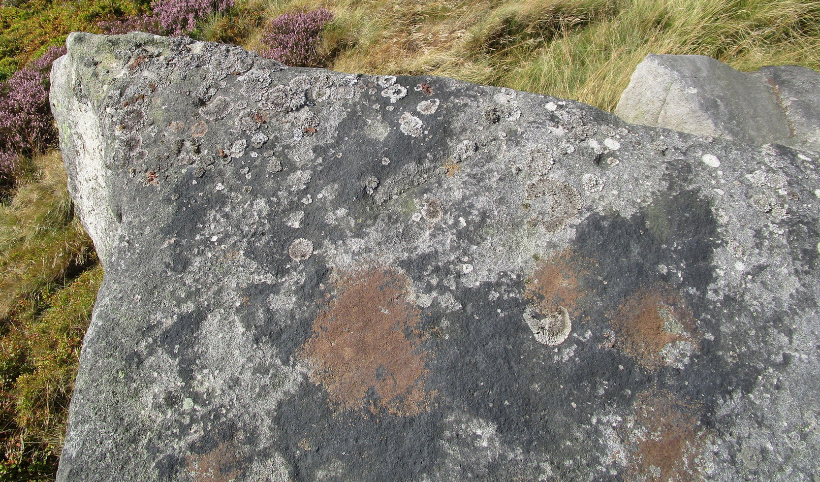
When we visited this stone for the first time recently, the design was difficult to make out due to the grey overcast skies. The first thing you’ll notice is the single cup-marking on the left-side (west) of a natural crack near the top of the rock. It’s pretty easy to make out. But the cup-and-ring immediately left of this is much harder to see—or at least is was when we came here! But spend a bit of time with it, adjusting your sight, wetting the stone and, slowly but surely, you’ll notice the shallow ring surrounding another smaller cup-mark. You can make it out in the photo. A possible smaller cup-mark on the sloping northern face seems more likely to have Nature’s signature on it.

Acknowledgements: Huge thanks to Fiona McLaren of Abercairney for first uncovering this carving and pointing us towards it.
© Paul Bennett, The Northern Antiquarian