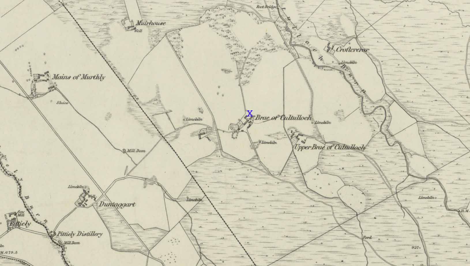
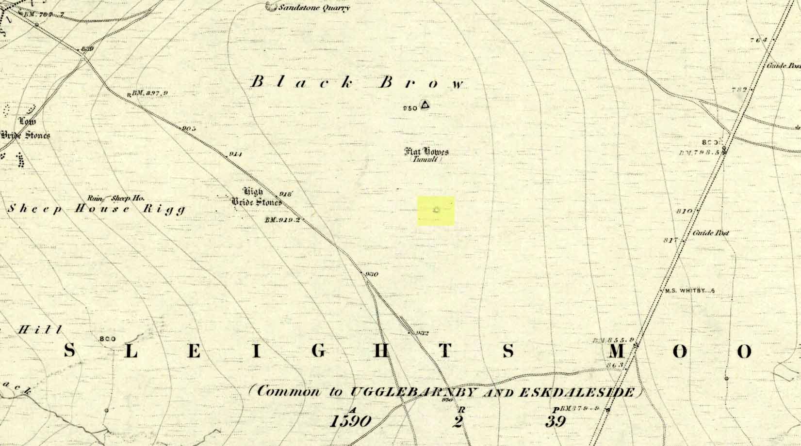
Tumulus: OS Grid Reference – NZ 85374 03406
Also Known as:
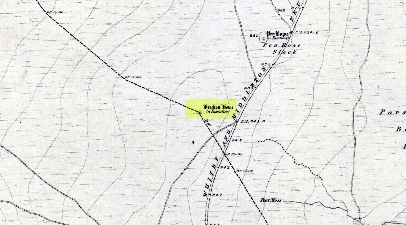
- Brakken Howe
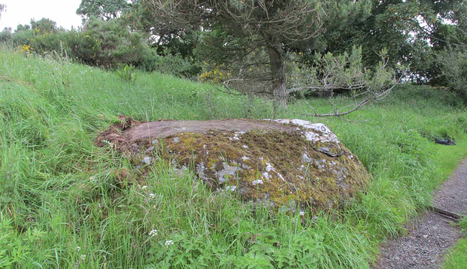
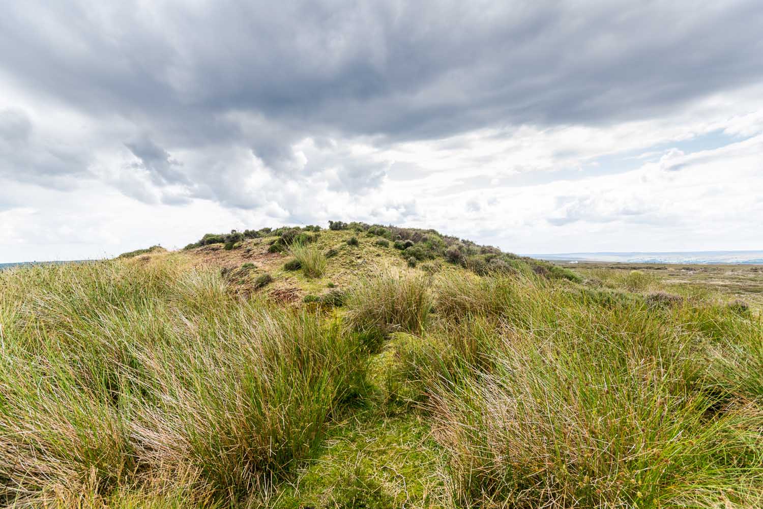
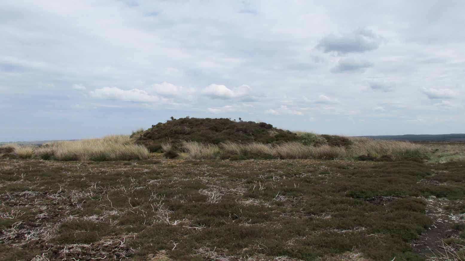
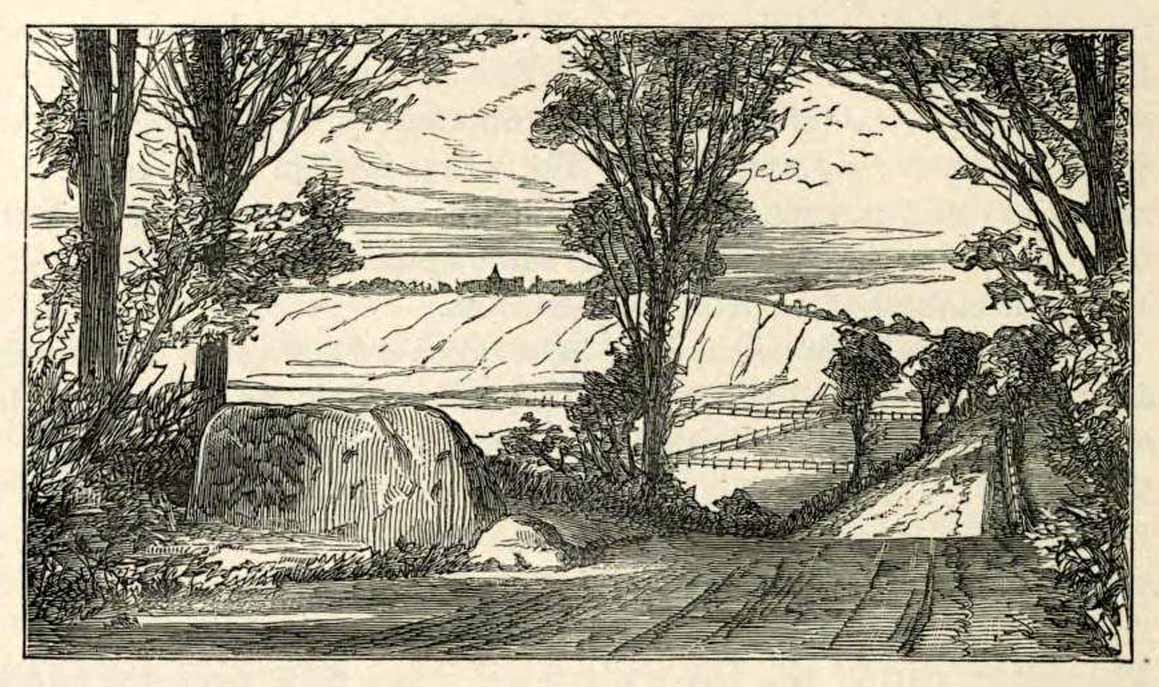
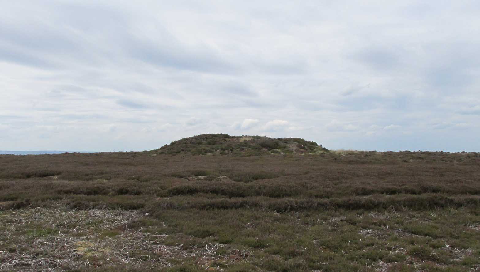
Along the A169 road between Sleights and Pickering, some two miles south of Sleights at the highest point on the moors just above the west side of the road, you’ll see a large mound with what looks like a standing stone on top of it. A minor road turns off the A169 at this point, heading southeast, and the large mound is 150 yards from the roadside. You can’t really miss it!
Archaeology & History
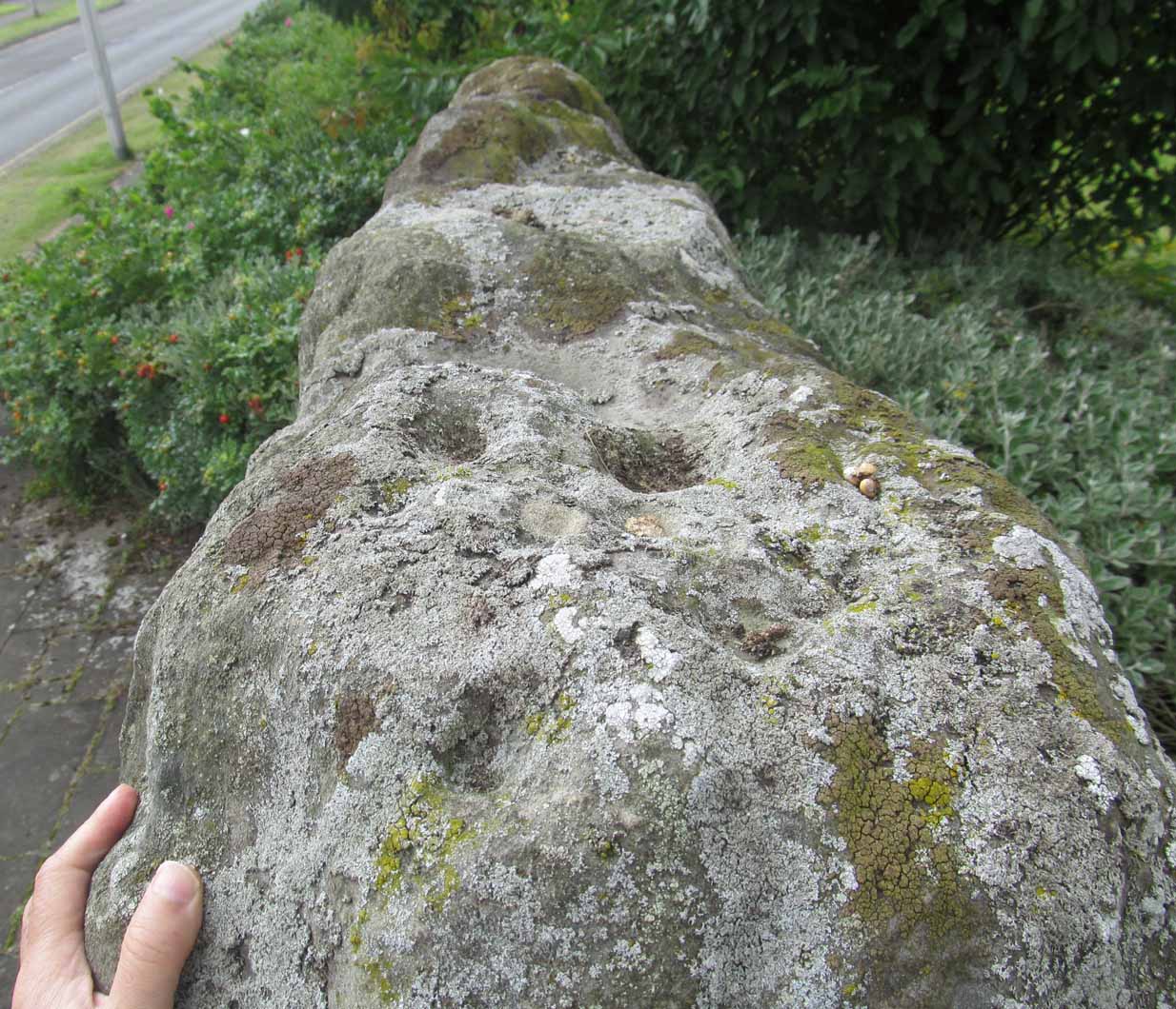
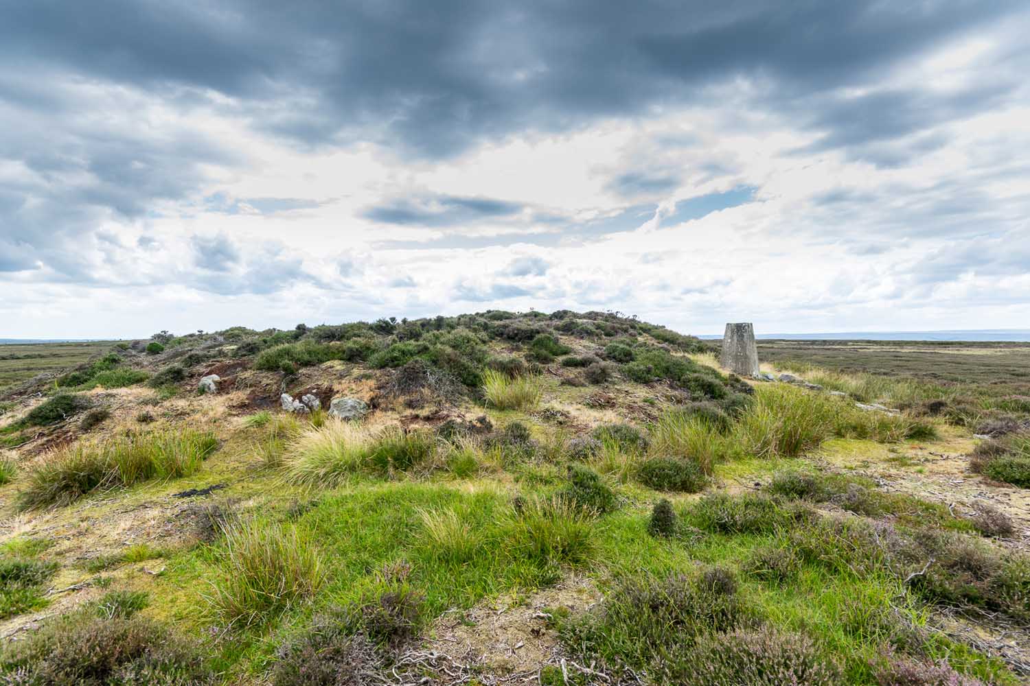
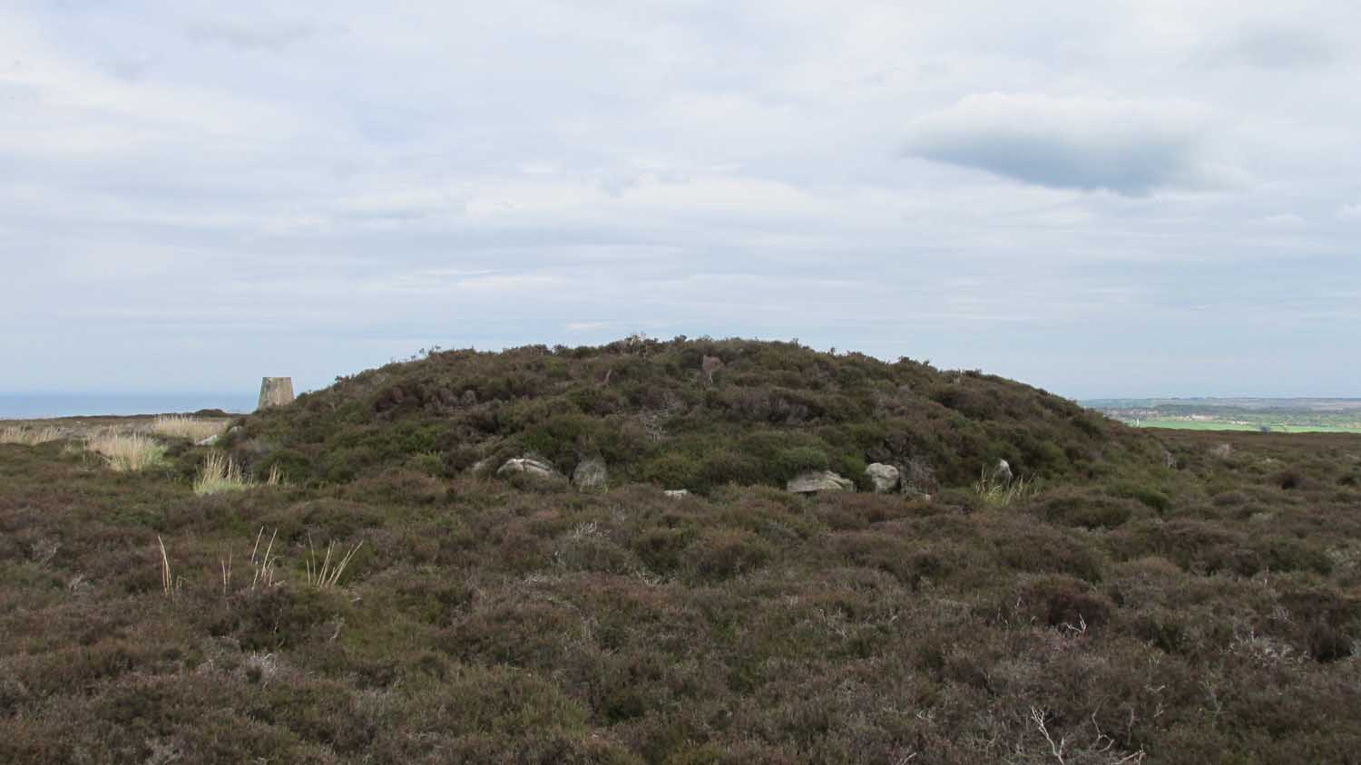
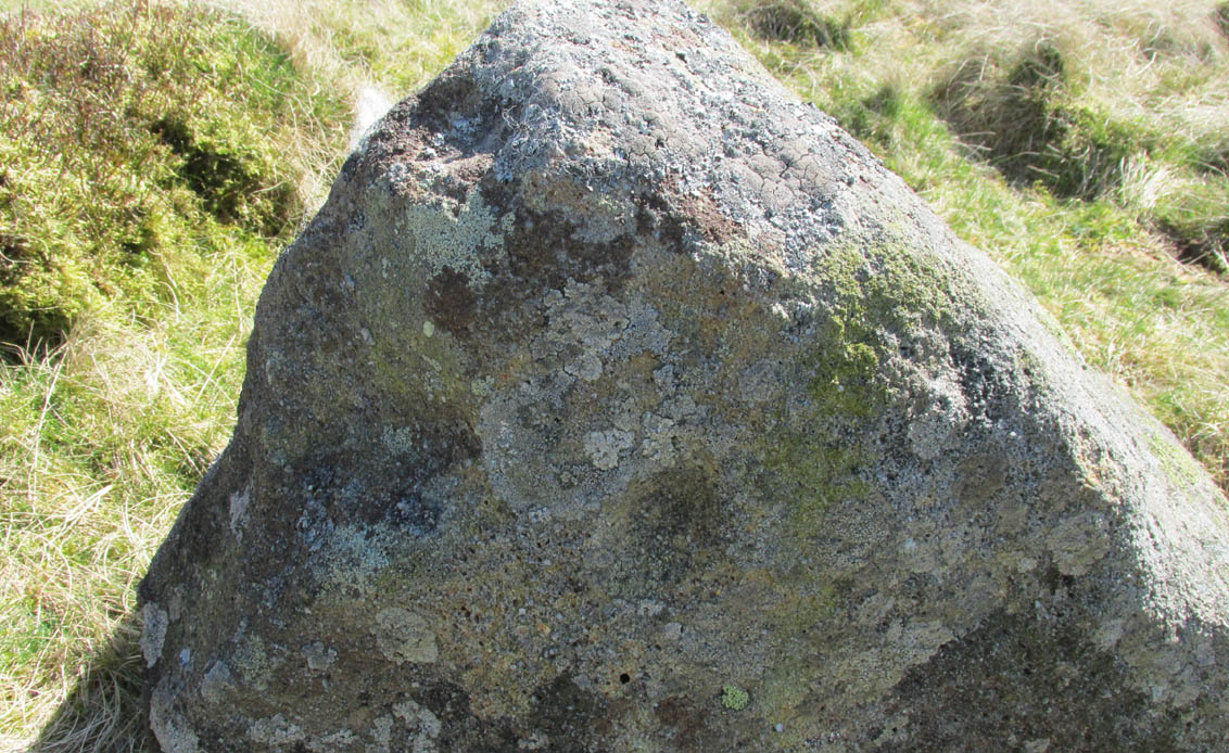
Shown on the first OS map of the area in 1853, this conspicuous prehistoric tomb surmounted by a relatively recent boundary stone, sits at the highest point on the moors in these parts. Despite this (as with others on these moors), very little has been written about the place and it has received only minimal attention in archaeology tomes. Even the renowned pen of Frank Elgee (1912; 1930) gave it only passing mention. Perhaps it aint a bad thing to be honest.
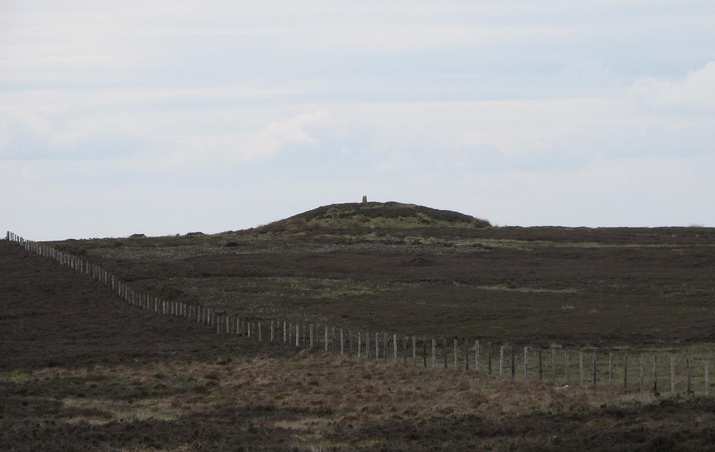
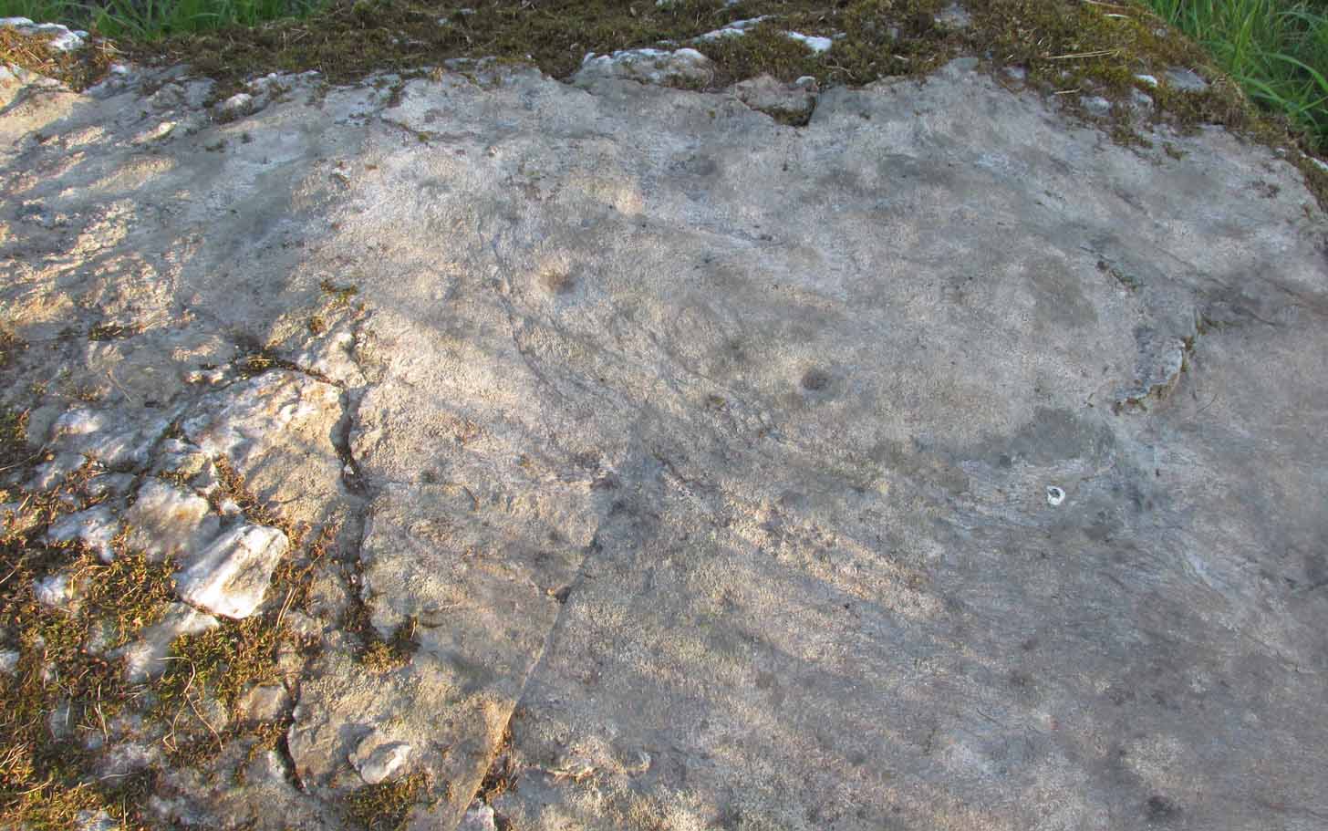
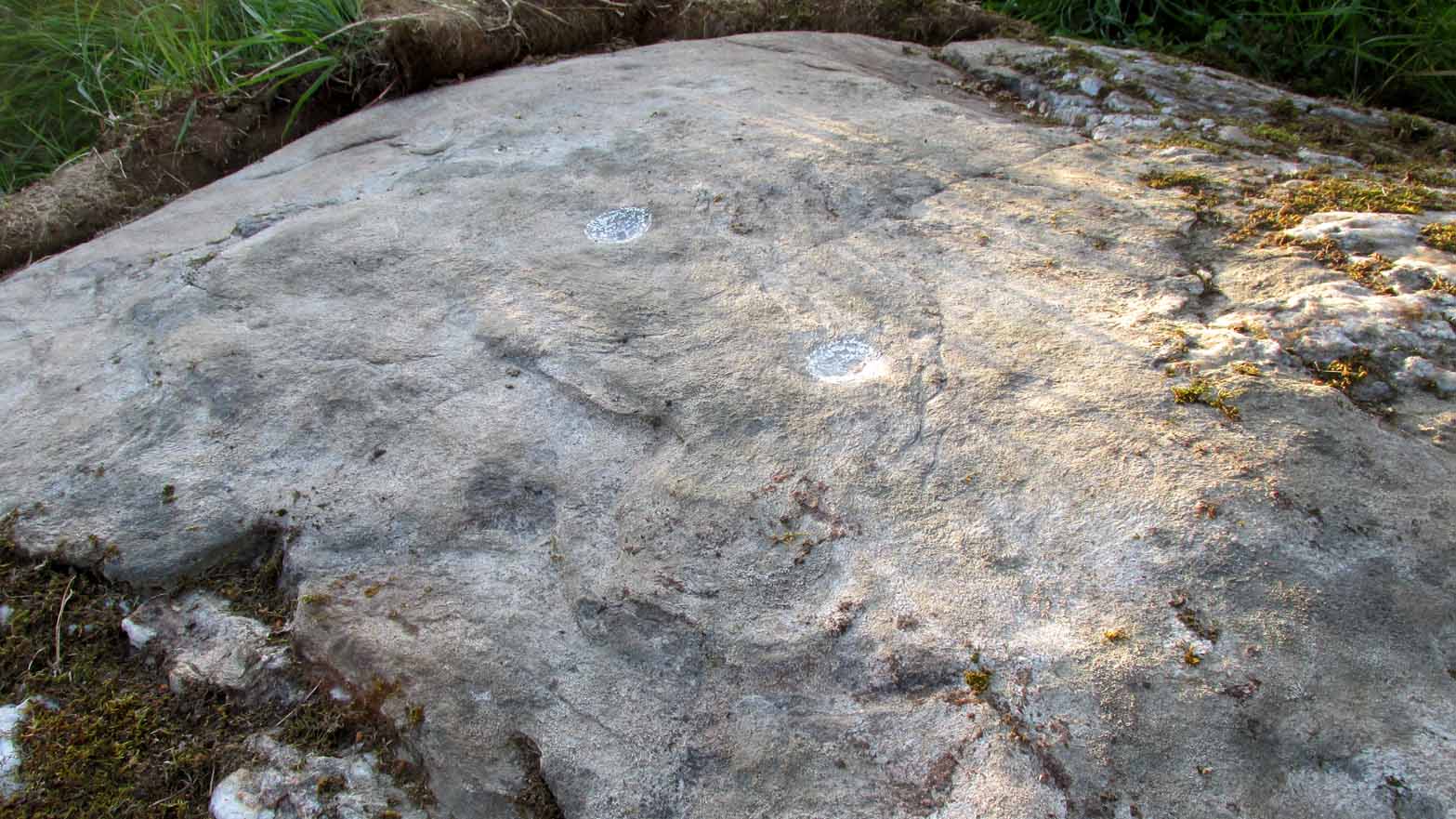
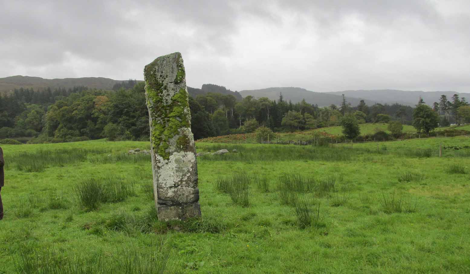
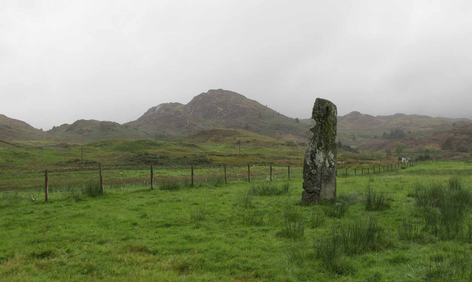
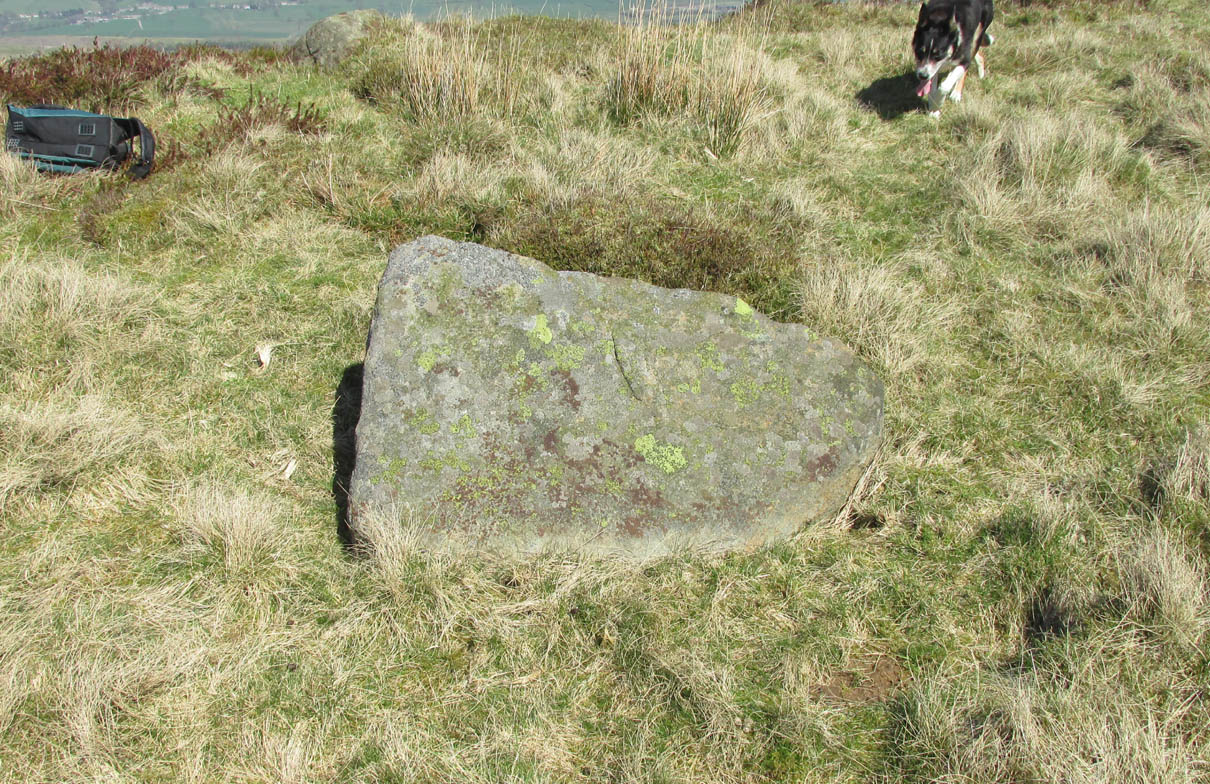
As well as being conspicuous, it’s large. Rising some six feet above the natural ground level, it measures 26 yards across its east-west axis, and 29 yards north-south, with a rough circumference of 88 yards. The boundary stone that surmounts its crown sits in a hollow that looks like it was opened up a century or two ago by antiquarians (much like ourselves). But its position of the tomb in the landscape that is most striking. The view from here is considerable, having a clear 360º view for many miles around. Other prehistoric tombs can be seen from here, but more importantly this tomb can be seen on the skyline from many others. This was probably a deliberate feature intended by its builders–and it’s not uncommon, as many of our upland regions are crowned with ancient tombs like Breckon Howe. In all likelihood this would have been the resting place of some important ancestral figure: a tribal elder or a shaman, whose spirit after death could view and travel across the landscape they inhabited in life.
Although the tomb presently sits amidst an endless sea of heather (Calluna vulgaris) typical of moorland across our northern lands, the name of the site ‘breckon’, according to George Young (1817) derives from the dialect word meaning ferns or bracken. This is echoed in Francis Kildale’s (1855) local dialect study and subsequently in Joseph Wright’s (1898) unequalled magnum opus.
Folklore
In the early 19th century, one George Calvert who lived in the area, collected as much folklore as he could, as it was dying off with the coming of the Church. One such piece told that there was once a hob who lived by this old tomb. A hob is generally known as a supernatural creature, but in this area it can also be a medicine man. Some hobs were good, others were malicious. We know not what type of hob lived lived here, but Calvert simply told us there used to be “T’ Hob of Brackken Howe”. Nowt more! It would be good to find the story behind this old character, if it hasn’t been lost entirely…
References:
- Elgee, Frank, Early Man in Northeast Yorkshire, Frank Bellows: Gloucester 1930.
- Elgee, Frank, The Moorlands of North-Eastern Yorkshire, A. Brown: London 1912.
- Kildale, Francis, A Glossary of Yorkshire Words and Phrases Collected in Whitby and the Nieghbourhood, J.R. Smith: London 1855.
- Home, Gordon, The Evolution of an English Town, J.M. Dent: London 1905.
- Wright, Joseph, English Dialect Dictionary – volume 1, .Henry Frowde: London 1898.
- Young, George, A History of Whitby and Streoneshalh Abbey – volume 2, Clarke & Medd: Whitby 1817.
Acknowledgements: A huge thanks to Lindsay Mitchell for getting us up to see this great tomb and its companion.
© Paul Bennett, The Northern Antiquarian