Cup-Marked Stone: OS Grid Reference – NN 58761 23087
Also Known as:

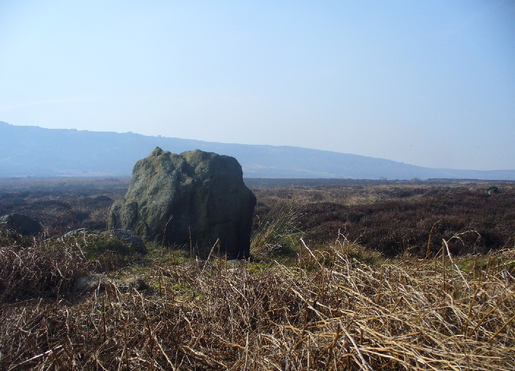
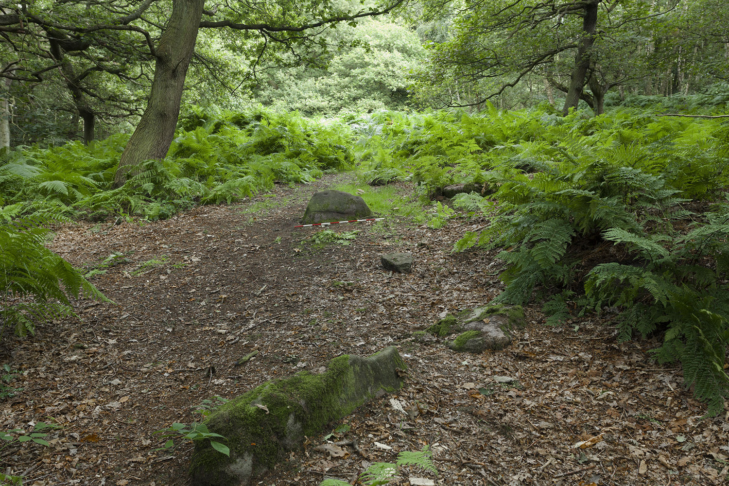
From Lochearnhead village going south along the main A84 road to Callander or Stirling, take the very last road on the right just as you’re going out of the village, up o Craggan and park up by St. Angus’ Church. Walk back down onto the A84, turning right and walk along for 100 yards. Then go back up into a boggy field, where you’ll notice some walling above you. Head to the top right of this, up to the edge of a garden. Hereby is a cluster of rocks in a jumble. That’s your spot!
Archaeology & History
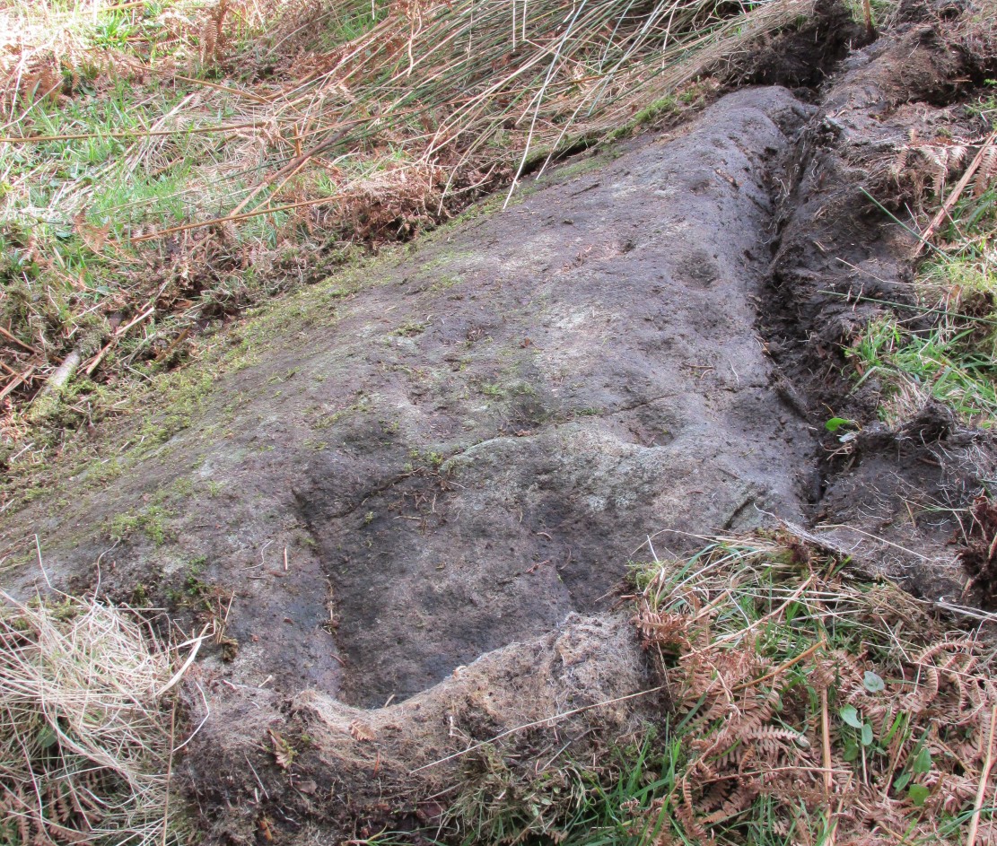
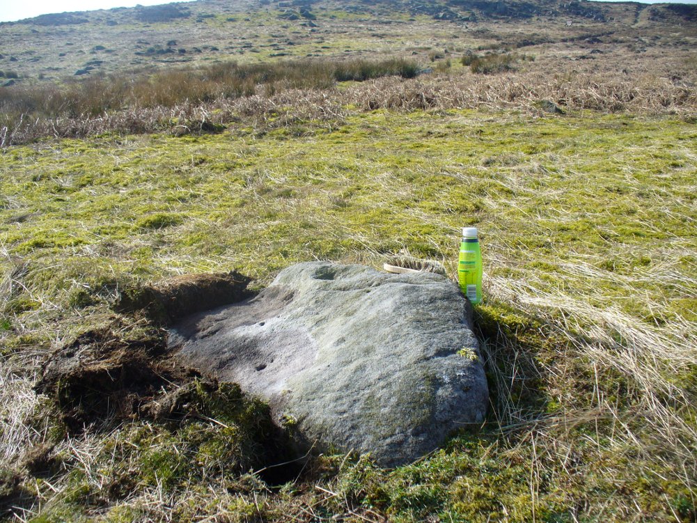
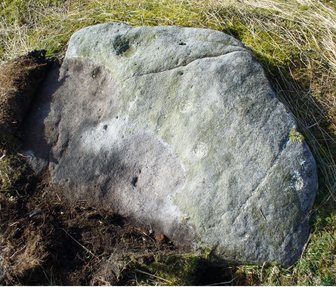
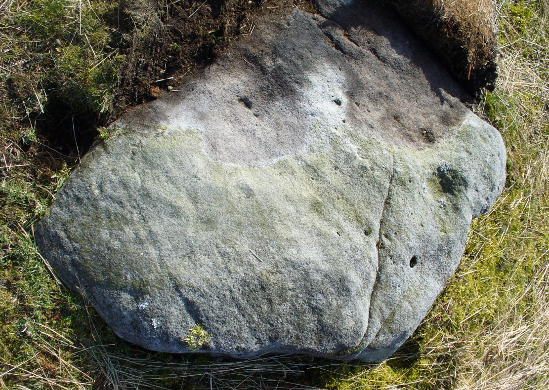
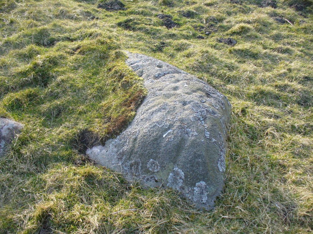
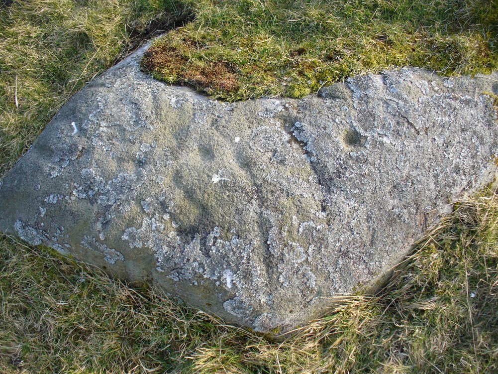
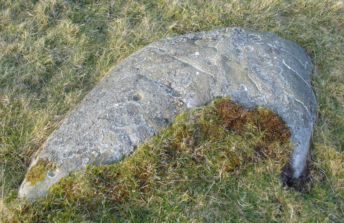
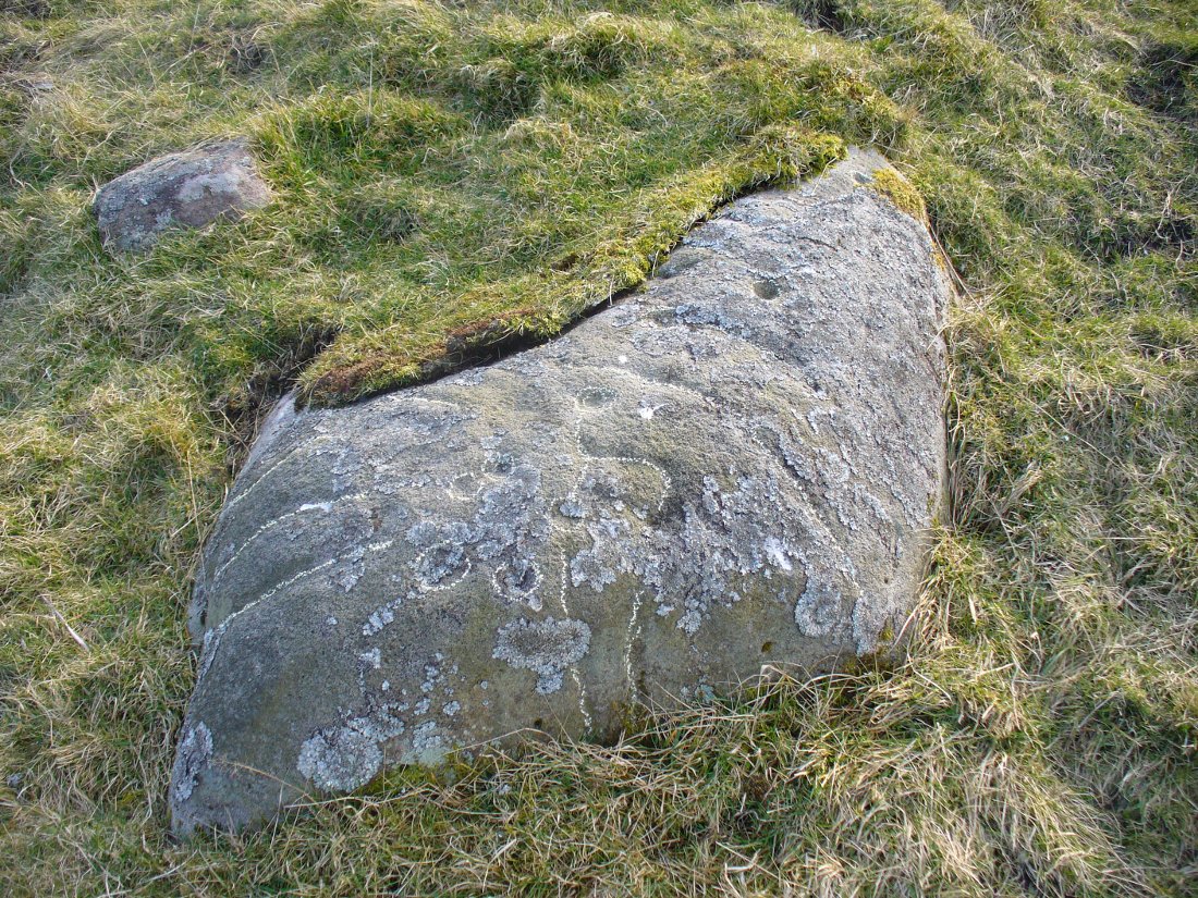
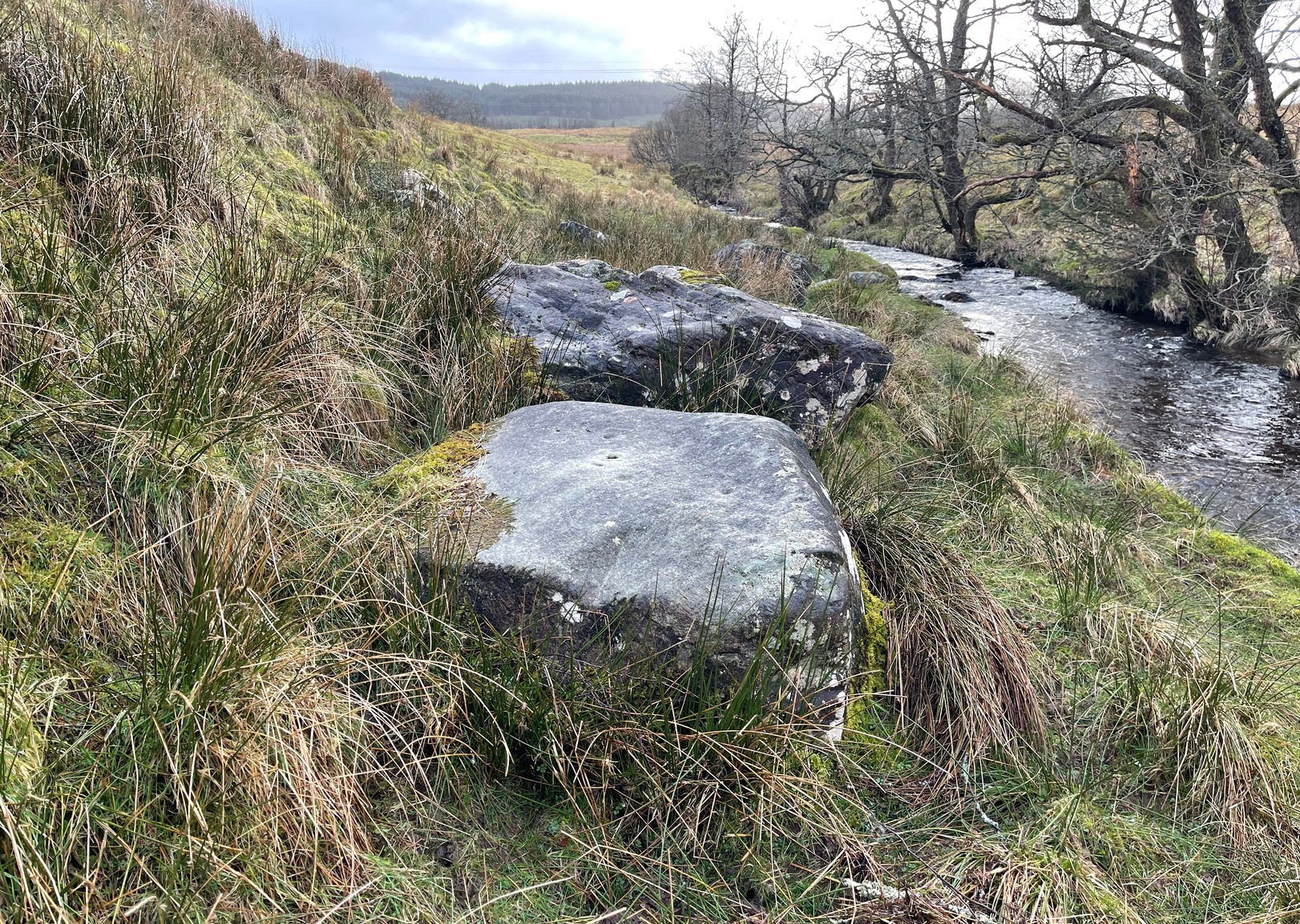
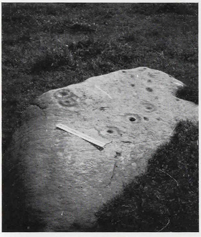
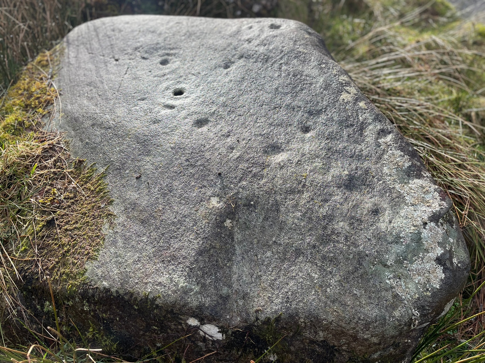
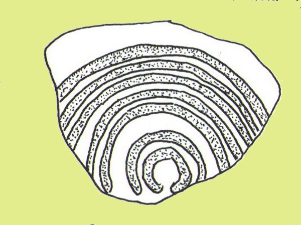
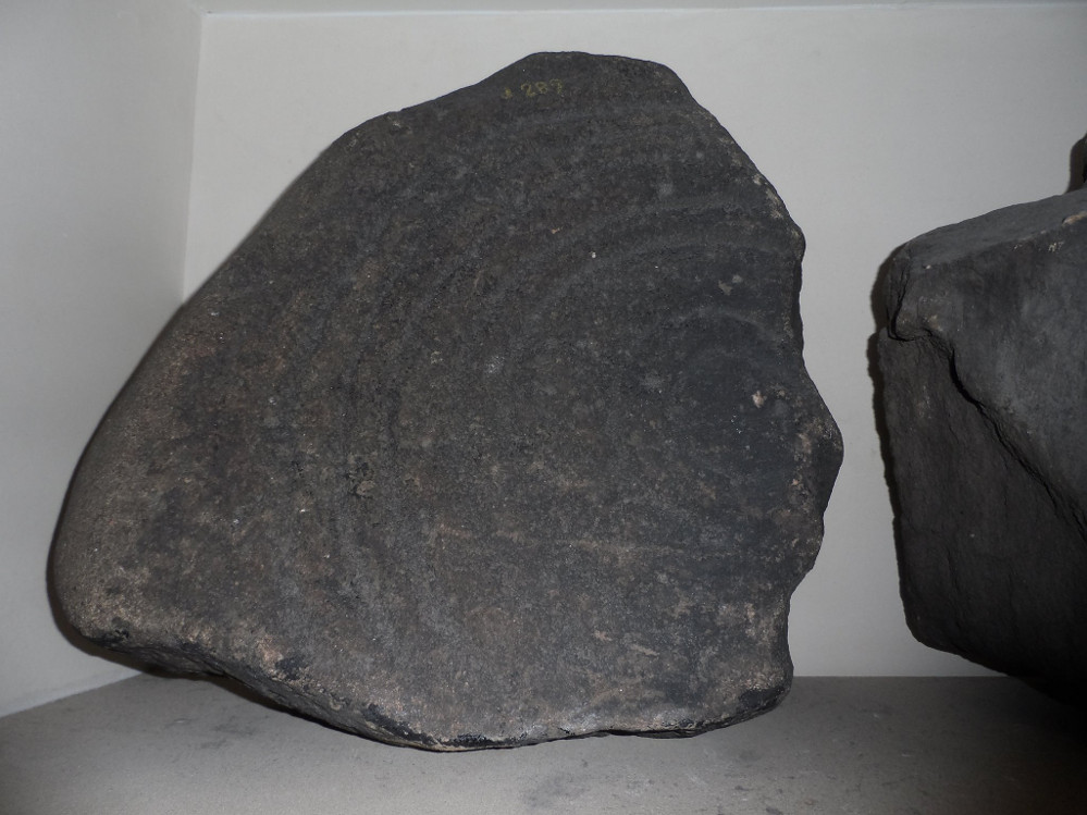
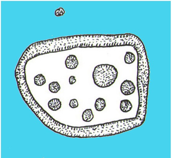
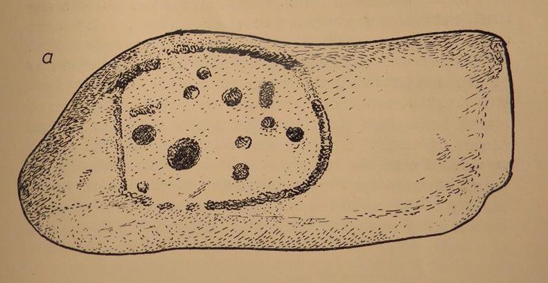
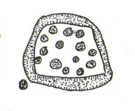
This takes a bit of finding in the undergrowth and is best checked out at the end of Winter. Once overgrown it truly takes some finding. But beneath the vegetation is a slender earthfast rock with a long ridge, a little bit like a spine, running from one end of the stone to the other. Along this topmost spinal column we find a cluster of ten cup-markings, getting smaller in size the further along the spine we travel. It’s a curious feature. At the widest end of the rock where the widest and deepest cup-marks occur, another four cups have been etched into the northeastern sloping face below the largest cups.
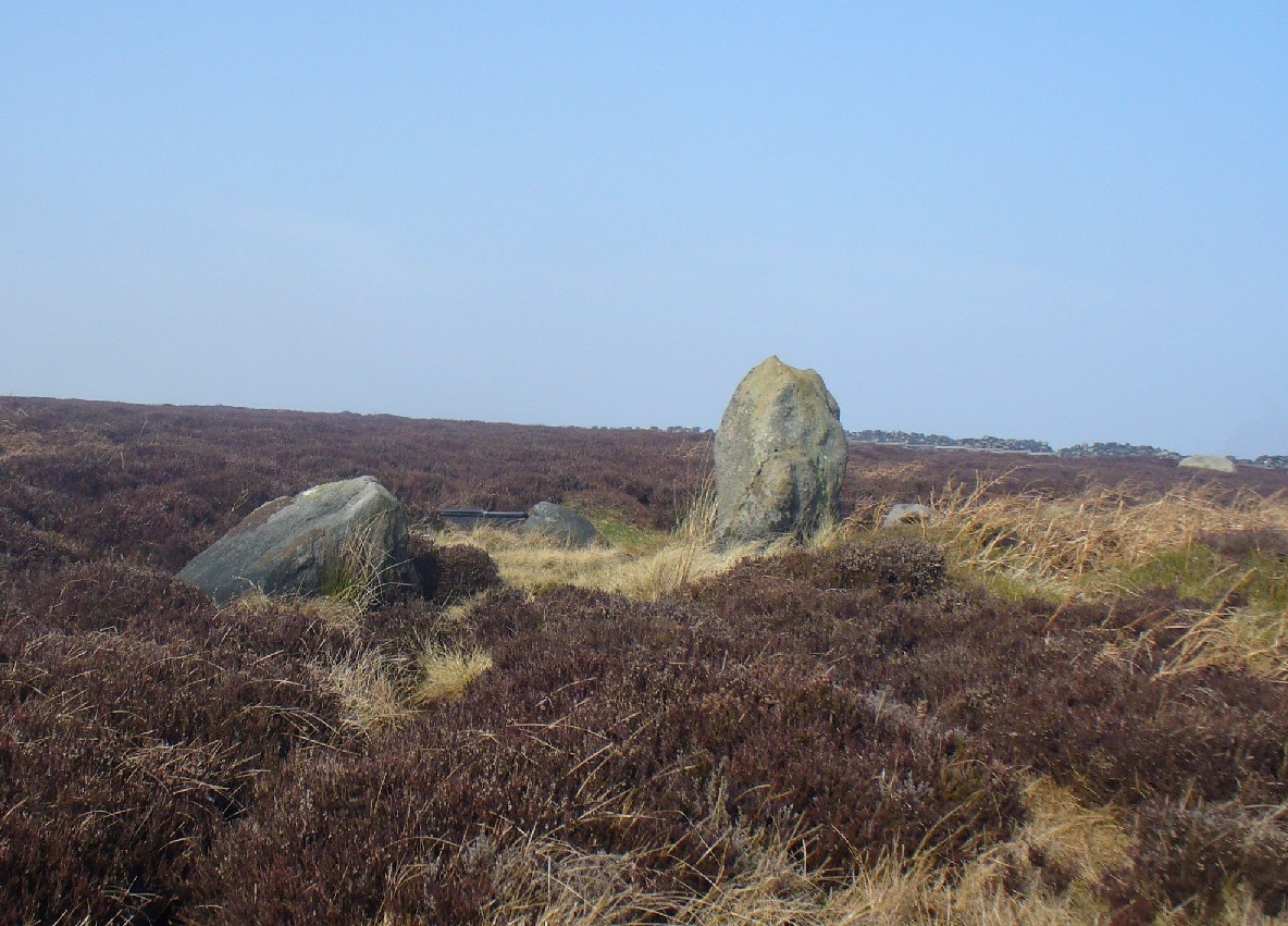
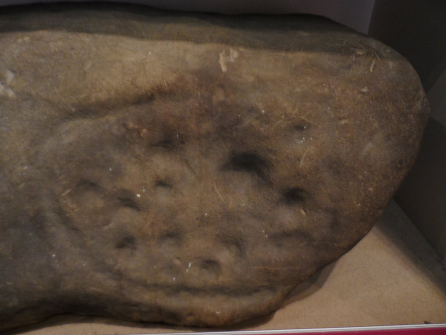
When we came here, the sunlight was blocked by the surrounding trees, so we were unable to see if other elements had been carved onto the stone. It is found in conjunction with two other rocks—Druidsfield 2 and 3 carvings—right next to each other, with designs of quite different visual structures, seemingly unconnected in any linear sense. There also seemed to be a possibility that this was once part of a prehistoric tomb. Later we found that both D. Haggart (1888) and Fred Coles (1911) had made similar comments, with Haggart specifically telling there to have been a collapsed tomb here in the 19th century. He may have been right. Extensive walled structures abound hereby−including one which old locals told us were remains of a Druid’s Circle, which we found close by.
Folklore
The carvings here were said by one of the locals to have been part of a “druid’s circle, which we played in as children, and were always told had been a special place of the druids in ancient times.”
References:
- Coles, F.R., “Report on stone circles in Perthshire principally Strathearn,” in Proceedings of the Society of Antiquaries, Scotland, volume 45, 1911.
- Haggart, D., “Notice of the discovery of a stone cup and cup-marked stones at Lochearnhead,” in Proceedings of the Society of Antiquaries, Scotland, volume 22, 1888.
Acknowledgements – Huge thanks to Messr Paul Hornby for help and use of his photos.
© Paul Bennett, The Northern Antiquarian