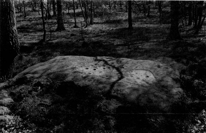
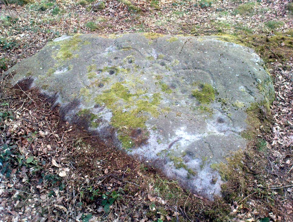
Follow the same directions to reach the Robin Hood’s Wood Stone, but head from there to the dirt-track about 30 yards away. This stone is just 10-15 yards on the south-side near the bend in the track. Look around!
Archaeology & History
Holden Cup-Marked Rock
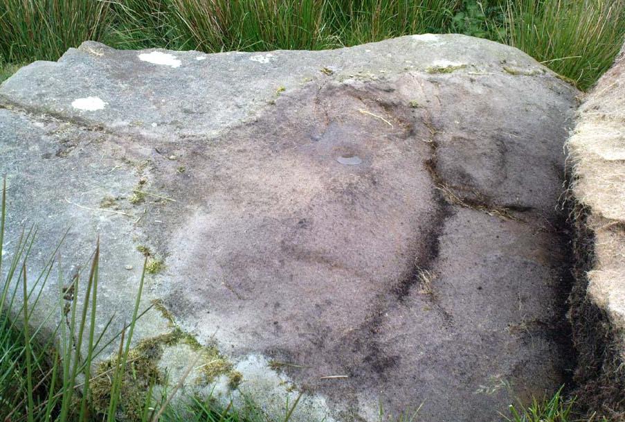
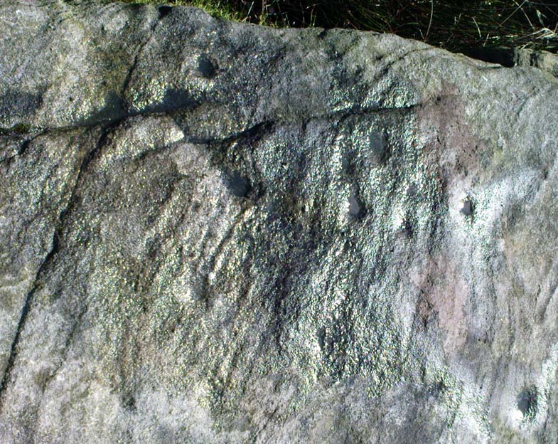
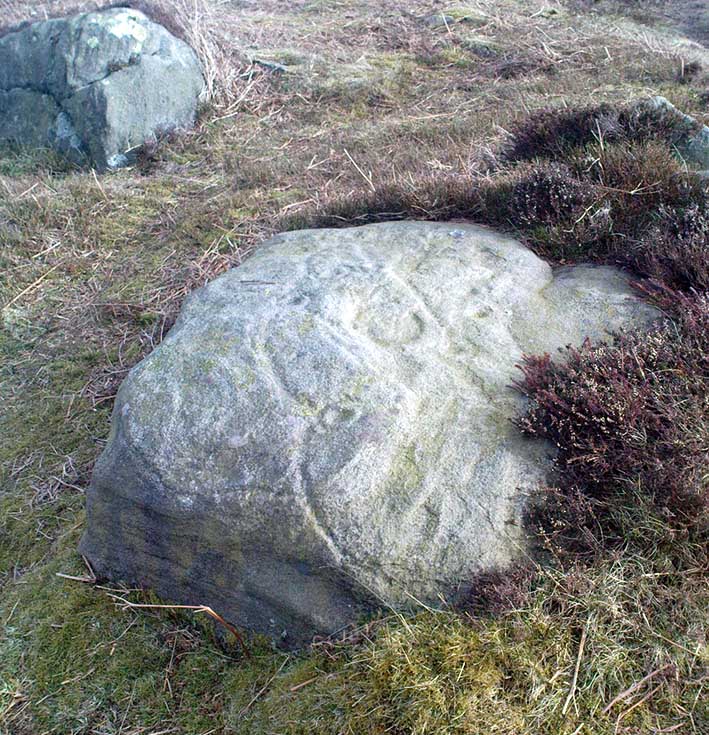
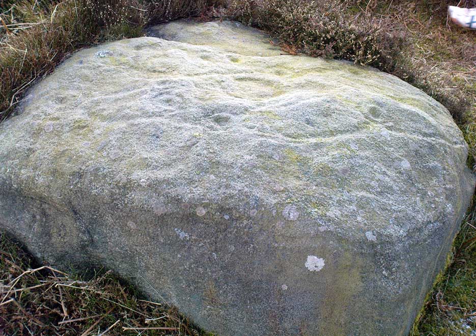
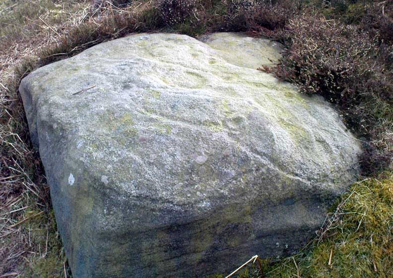
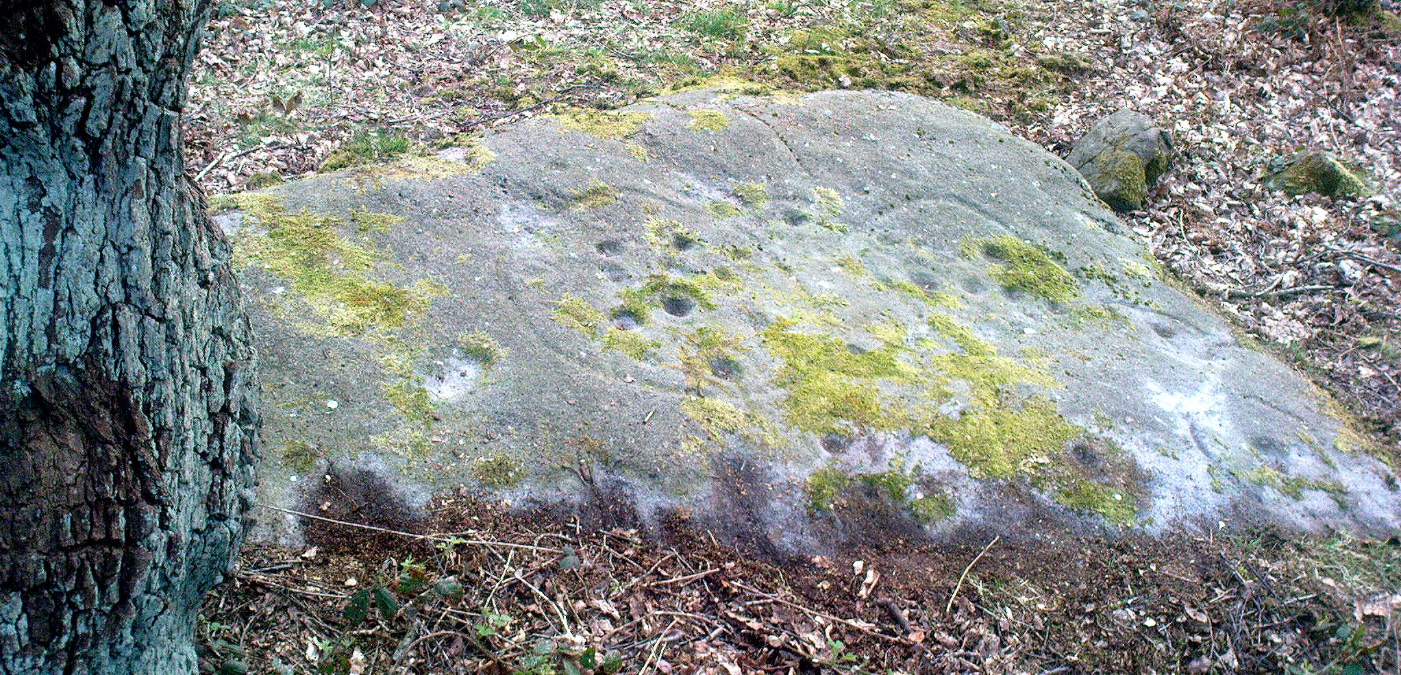
If you can find this stone, the 2-cupped Robin Hood’s Wood Stone carving is only about 15 yards SW. But this poor example is a mere single cup-mark sitting near the centre of a large flat rock, half-covered in vegetation like its nearby compatriot. There’s a faint possibility of a second cup-mark on the rock, but it’s pushing it a bit! Thanks to the vegetation cover on the majority of the rock, the cup’s in a good state of preservation. Nowt much to shout about unless you’re a real cup-and-ring nut!
From East Riddlesden, go up the road (over the swing-bridge) that takes you onto the moor-edge (ask a local if you have trouble). Go all the way up till you hit the road which encircles the moor (it’s called the Silsden Road where you hit it). Turn left for several hundred yards till you see the microwave tower just on the hillock to your right on Pinfold Hill (not the larger TV towers just below the forest). Walk up there, then follow the edge of the walling till you hit the old Pinus sylvestris trees of Robin Hood’s Wood where 2 walls meet. Go over the gate and walk to your right for about 200 yards, following the line of the walling. You’re there!
Archaeology & History
Cluster of cups on W edge
A newly-discovered cup-marked stone, located for the first time on Tuesday, June 9, 2009, by Michala Potts, who was out on an amble with some long-haired halfwit whizzing about getting excited about stupid cup-markings on stones, dragging her back and forth and leaving her in the middle of a bog! On one occasion when this ‘ere fruitbat wandered off (again!), leaving her alone in the middle of the hills, she decided to check out some rocks a bit further up the slope where she’d been left alone. And there, along the edge of some walling, right on the edge of the much-denuded Robin Hood’s Wood, a short distance west of Rivock, a curious stone popped out and caught her attention!
Was this a cup-marking she saw before her!? It certainly was! But she didn’t call out to this halfwit who’d left her to her own devices. She let him just wander off to his sad heart’s content, whilst she got into the nitty-gritty of checking the stone out, uncovering the essentials of the carving while he bimbled off like a freak! And what a nice carving it was she found…
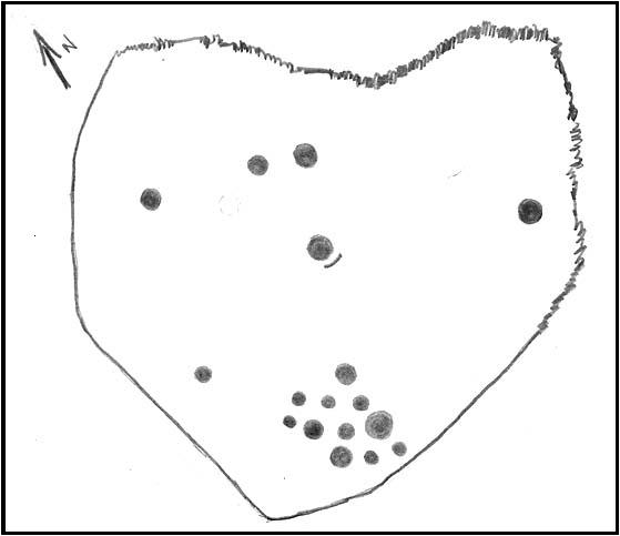
Baldwin Stone – looking westFirst sketch of the stone
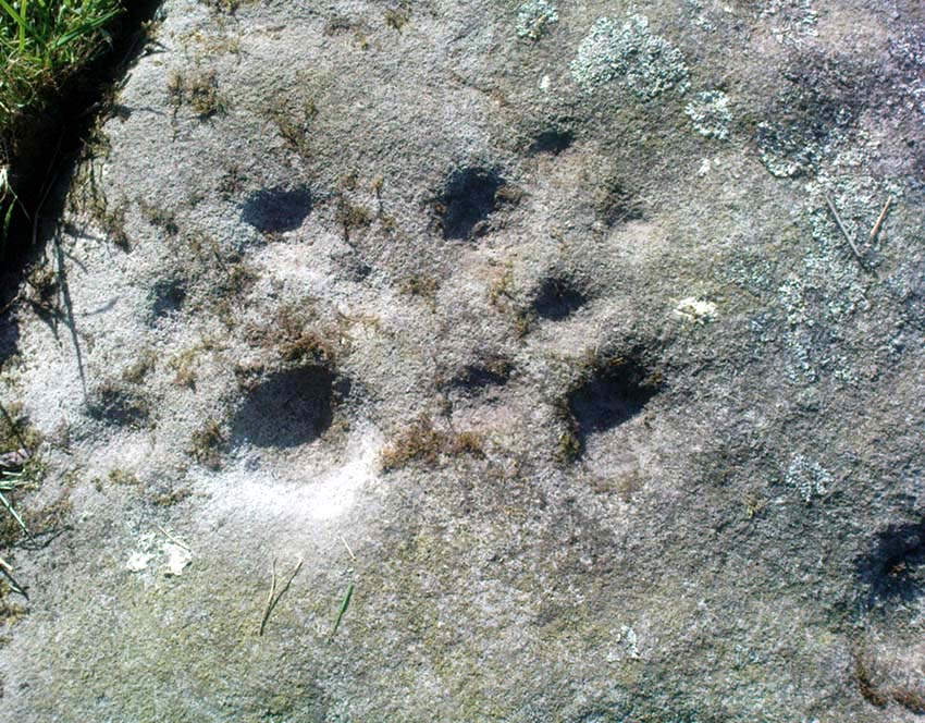
Although no accurate measurements were made of the stone (it was bigger than 10-inch!), at least 17 cup-markings were counted here: one singular and very well-preserved cup, alone on its southern edge, right by the walling. But the main feature of the design is a cluster of cup-marks (at least 11) on the western side of the rock — one part of this cluster having the appearance of the figure 5 on a dice! Several other well-defined cups occur on the central and more northern end of the rock.
Eventually, her sad stone-wandering fella returned, forlorn, having found no new carvings of his own (poor soul!). And so she took his poor little hand, and took him to see the little prehistoric treasure she’s uncovered — and her sad little man got all smiley and … well, you know what they’re like!
Additionally however, for the archaeo’s amongst you: if you come wandering up here to check this carving out, you’ll notice the remains of many large upright stones in a lot of the old stone walls round here. Many of these are the remains of Iron Age walling.
Follow the same directions as to reach the Tree of Life Stone carving. From here walk 7 or 8 yards east. You can’t miss it!
Archaeology & History
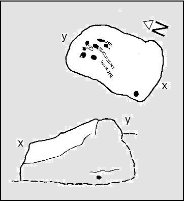
Coped Stone carving (after Boughey & Vickerman)
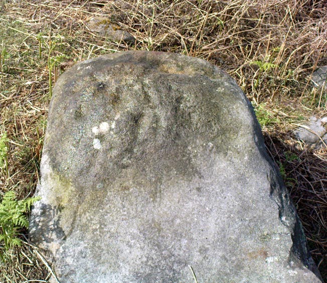
About 20 feet away from the more renowned Tree of Life Stone — and seemingly linked to it by a small stretch of ancient walling that runs between the respective stones — is this rather large boulder close to the walling with at least seven cup-marks on it. A number of vague lines run down and around the edges of some of the cups, but they can be somewhat hard to see if the light conditions aint right (I don’t recommend trying to suss it out on dark grey overcast days — unless you’ve got awesome eyes!). Immediately next to this rock is a large collection of small stones, looking to be the remains of some man-made construction from time past. The nature of this pile of rocks has yet to be ascertained, but it would be reasonable to assume that it was at one point earlier a much larger pile that has been plundered for use to make the drystone walls hereby. Less than 10 yards below this and the Tree of Life Stone carving is a line of ancient walling, at least Iron Age in nature, possibly earlier, running for some distance east-west up and across the moorland.
Cup-marks near top of the stone
The carving was described for the first time, albeit very briefly, by Eric Cowling (1937) in his lengthier description of the Tree of Life Stone, saying how “a small coped stone to the east has several scattered cups” on its surface — meaning this old thing! Boughey & Vickerman’s (2003) survey (2003) describe it as a “medium-sized, upstanding, worn rock. Seven or eight possible cups, mostly at the top of S face, but one at its bottom of E face.”
…And the poor old fella has had nowt else said of it until now! I reckon this carving will only be of interest to the most serious of meditators or hardened rock-art freaks!
References:
Boughey, Keith & Vickerman, E.A., Prehistoric Rock Art of the West Riding, WYAS 2003.
Cowling, Eric T., “Cup and Ring Markings to the North of Otley,” in Yorkshire Archaeological Journal, part 131, 33:3, 1937.
Cowling, Eric T., Rombald’s Way: A Prehistory of Mid-Wharfedale, William Walker: Otley 1946.
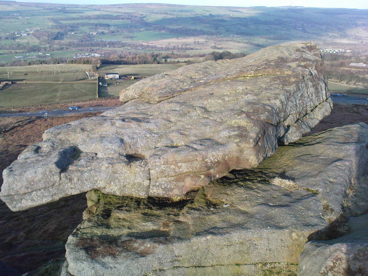
We were up here again the other week: wind, hail and snow blowing like hell, thankfully keeping the place to ourselves! To get here, head up Cow Pasture Road from the train station and up to the Cow & Calf Hotel near the famous rocks. Go past it a 100 yards or so and then look uphill onto the moors ahead of you. You’ll see a great over-hanging rock on the slope above you which looks as though its may fall down at any moment. That’s the Pancake Stone! Either walk up the steep path to get there quickly, or the longer route by taking the sloping diagonal path that runs eastwards until you’re on the same level.
Archaeology & History
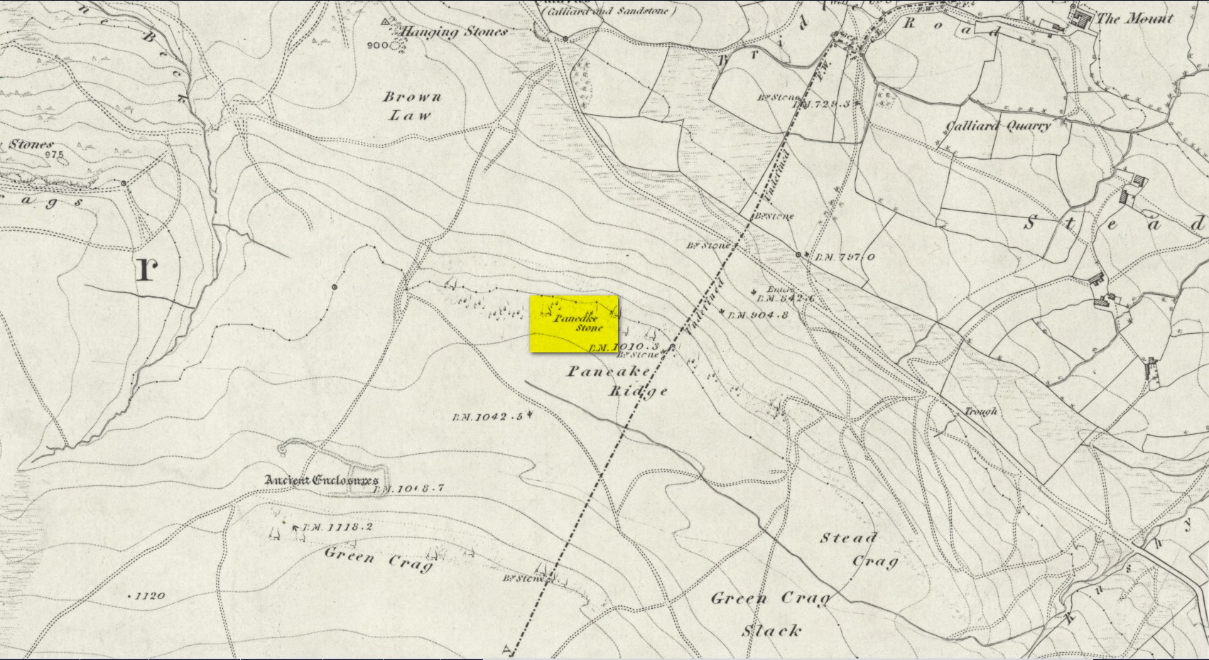
Site shown on 1851 map
Highlighted on the first Ordnance Survey map of the region in 1851, this prehistoric carved stone had been known as the Pancake Stone by local people long before any antiquarians gave it their literary attention to the place. It would have had tales told of it, no doubt, but they were never written down. It’s an impressive, some would say precarious piece of rock: an elongated thin wedge of stone resting gently on the cliff edge, much like a rocking stone to be honest, seemingly hanging onto the edge of the geological ridge awaiting its fall down the slope; but that’s not gonna happen for many more centuries yet.
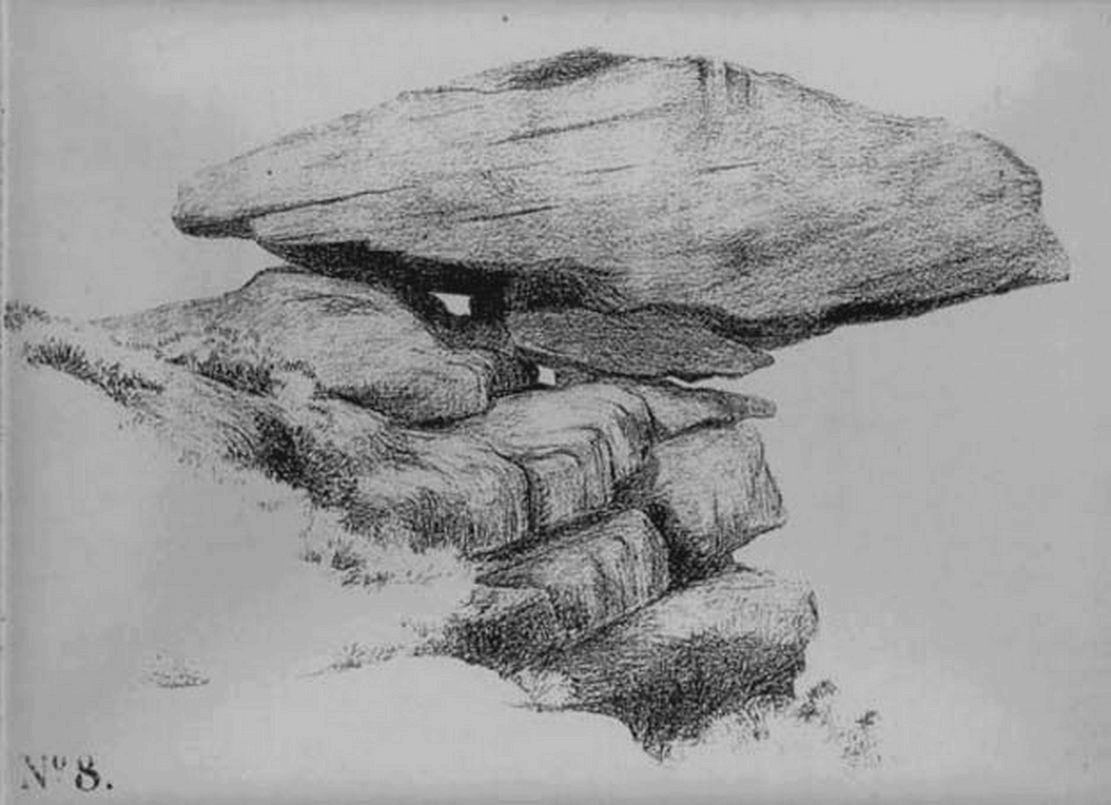
J. Thornton Dale’s 1879 drawingJ. Thornton Dale’s 1879 drawing
Much has been written about the petroglyph on the this wedge of stone, which covers much of its surface. Although a Mr J. Thornton Dale did a fine series of quite accurate drawings of this stone (and others on the moors) between 1878 and 1880, the first literary description of the Pancake rock carving appears to have been by the renowned J. Romilly Allen in 1882 (who evidently visited the stone on a cloudy or overcast day), saying that:
“On its upper surface are several cup-markings much obliterated by the actions of the weather, but some of them sufficiently distinct to prove their origin artificial, and to show that this rock was noticed in ancient times, and very possibly considered an object either of worship or superstition.”
Close-up of CnRsLooking across the stone
This latter assumption is highly probable. Strong animistic notions (moreso than usual) would be very evident here. Its position on the land with its outward focus from here towards other notable points in the landscape (Almscliffe Crags is one obvious focus); as well as looking at the rock itself from other viewpoints, give the stone considerable ritual importance. Sections of the moorland plain behind it—known as Green Crag—was the Land of the Dead in ancient times, and it is more than likely that death rites would have been enacted here — though we may never know what form they took.
Dale’s 1879 sketch
The stone has what seems to be at least 54 cup-markings on its upper face, with numerous grooves meandering and connecting other points. In J. Thornton Dale’s 1879 drawing of the upper surface, you will note that a couple of the rings he included have all-but faded away and are not included in the more recent surveys. Of the primary design, rock art students Boughey & Vickerman (2003) described there being “six complete and five partial rings” amidst the morass, but much of the design is very worn and, originally, there was probably a bit more to it all. The rock upon which the main Pancake Stone rests also has some worn cup-marks etched on its surface, a couple of which can be made out in the top photo.
Folklore
Good old Nicholas Size (1934) added this site to his list as a place where he had visions of the old christian cult, upon whose bare face were enacted blood rites and sacrifice. One Beltane Eve when he decided to amble up onto the moor edge, he could see a strange glow coming from behind the rock. He continues:
“Then suddenly I noticed there was a figure dancing upon it. The figure seemed to swirl round and round with floating draperies, grey or white, and I can only say that it looked very uncanny. Stupidly, I wondered that anybody could be such a fool as to dance in the darkness upon that precarious footing…”
But such activities on these moors, at certain times of the year, have been enacted for many centuries. It’s just kept quiet and, as more modern pagans (as they like to call ’emselves) keep coming up here and to other places, so the original folk move to their older and increasingly more secluded spots… In the latter half of the 20th century the site was used as a focus by chaos magickians, shortly after the inception of that Current.
References:
Allen, J. Romilly, ‘The Prehistoric Rock Sculptures of Ilkley,’ in Journal of the British Archaeological Association, volume 35, 1879.
Allen, J. Romilly, ‘Notice of Sculptured Rocks near Ilkley, with some Remarks on Rocking Stones,’ in Journal of the British Archaeological Association, volume 38, 1882.
Boughey, Keith & Vickerman, E.A., Prehistoric Rock Art of the West Riding, West Yorkshire Archaeology Service 2003.
Cowling, Eric T., Rombald’s Way, William Walker: Otley 1946.
Hedges, John, The Carved Rocks on Rombalds Moor, WYMCC: Wakefield 1986.
Jennings, Hargrave, Archaic Rock Inscriptions, A. Reader: London 1891.
Size, Nicholas, The Haunted Moor, William Walker: Otley 1934.
Speight, Harry, Upper Wharfedale, Elliott Stock: London 1900.
Not too hard to find really. On the far western edge of the King’s Park golf course, head for the highest point where the small cliffs drop down. From here, walk down the footpath on the slight slope south, just below where the small copse of trees are, and you’ll see the singular small flat stone in the grasses near the footpath you’re walking along. If you can’t find it – look around!
Archaeology & History
A little-known but fascinating isolated carving, first described by David Morris at the sixth meeting of the Stirling Natural History and Archaeological Society in 1901. It is found on the western edge of the town, above the rocky edges not far from the pond of St. Thomas’ Well on the far edge of the golf course. Morris’ finding was written up in their fine journal, where he wrote:
“In the King’s Park, about 50 yards east of the cliff where a seat overlooks the Douglas Terrace sand quarry, there is a smooth surface of rock showing through the turf, measuring two-and-half feet by one-and-half feet… On it is a cup-shaped hollow, outside the rim of which is a well-marked hollowed ring, beyond which is another faintly marked, concentric circular groove. The cup-mark measures one-and-a-half inches across; the inner rim of the first circle is 4 inches, and the outer rim is 6 inches in diameter. The outer circle, if complete, would be 9 inches in diameter. The depth of the central hollow is half-an-inch, and of the inner groove fully one-quarter of an inch. The markings are plainly artificial…”
King’s Park CR – central design, pointing to northernmost cup
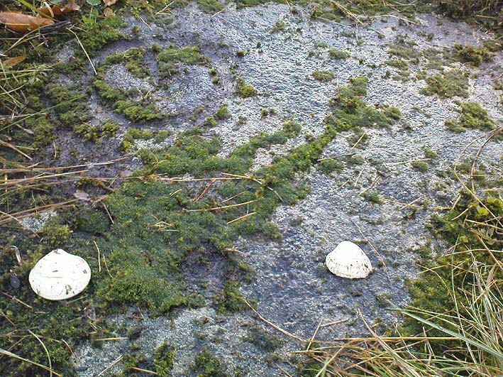
In good sunlight, it is obvious that the carving is a fine example of a double-ringed cup-and-ring carving – though the outer ring may not be complete. The Scottish Royal Commission lads told that “this rock outcrop bears three cup marks” – one of which has the rings surrounding it. In the first photo here, the southernmost cup-marking is highlighted in the centre of the two shells which were on the rock when we arrived.
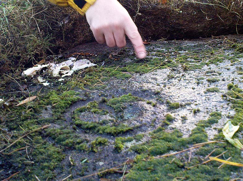
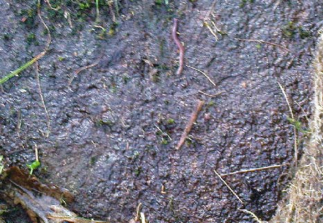
However, there’s definitely more to this carving than previous investigations have outlined. It seems that the northernmost cup-mark has a ring and a possible outer-ring. There is also a distinctive linear carving, which at first seems like a primitive triangle, just below the southernmost cup – as we’ve tried illustrating here in the photo which Mikki Potts took. It’s faint, but once you see it, it’s obvious that it’s there. Other faint lines of similar nature also seem apparent near the northernmost cup-marking, but we will have to wait for rubbings and further visits in better light to ascertain the full image on this rock. Well worth checking out if you like your rock art! (can any of you Scottish rock-art fanatics have a closer look at this? – take a rubbing of it and see what other aspects are on this design)
Faint linear carvings on southern end of the rock
One other thing which seemed apparent when we were here: this site has all the geomantic hallmarks of accompanying a burial at some time in the ancient past. Its isolation here is unusual and the carving is only 50 yards from the highest point hereabouts, where you have 360-degree views all round, typifying the position of many prehistoric tombs.* Does anyone know about such features, or have records of any field-name surveys taken, which might confirm or deny this thought? Twouldst be good to know!
References:
Feachem, Richard, Prehistoric Scotland, Batsford: London 1963.
Morris, David B., “Cup and Ring Marked Rock Surface in King’s Park,” in Stirling Natural History & Archaeology Society Transactions, 1900-1901.
Morris, Ronald W.B., The Prehistoric Rock Art of Southern Scotland, BAR 86, Oxford 1981.
Royal Commission on the Ancient and Historical Monuments of Scotland, Stirlingshire – 2 volumes, HMSO: Edinburgh 1963.
Royal Commission on the Ancient & Historical Monuments of Scotland, Archaeological Sites and Monuments of Stirling District, Central Region, Society of Antiquaries of Scotland 1979.
* Since writing the above, thanks the correspondence of Paddybhoy, we’ve learned that there definitely were prehistoric tombs close by; one being just at the bottom of the ridge below the carving, on Douglas Terrace. Records describe several other prehistoric tombs nearby at Birkhill House, the Birkhill Sandpit and Coneypark Nursery. However, I still think it most probable that there were other tombs and more rock art, probably along the edges of King Park, aswell as the Cambusbarron plain. These need locating.
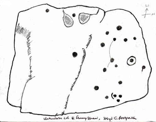
The best and easist way to get here is to drive west past Dick Hudson’s pub along the moor road for about a mile till you reach the left turn of Heights Lane. Stop here! (if you’re now going downhill to East Morton, you’ve gone past it) On the opposite side of the road is a gate and a footpath onto the moor at the spot called Fenny Shaw Low Well (small copse of woods adjacent to your right). Walk a quarter-mile up the path, bearing left where the path diverges (ignoring the ‘Private’ sign) and head for the derelict building. Less than 100 yards before it, notice the large boulder to your right, on the slope – that’s it!
Archaeology & History
Old inaccurate drawing, c.1982
I first came across this on one of my countless ambles on these moors as a teenager. It was a cold, windy day as I recall – hence the reason for my sketch of the stone being a bit vague! The bit of paper on which I drew it, was included in one of my unpublished hand-written booklets. A few years later an image of the carving appeared in Mr Hedge’s (1986) fine collection, in much better detail than my scratty little pic!
Some cup-marks highlighted
It’s a ‘big rock’ and stands out on the slope here. There’s at least one complete cup-and-ring which is visible on the northern edge of the rock and there are between 17 and 30 other cups scattered across its surface, which has been greatly eroded by our timely forces of wind, rain, ice and snow.
Hedges’ 1986 sketch
In ambling around looking at the other stones in the vicinity, along with finding the small Littlestone cup-marked rock further up the slope, we also found, just below the faded old Big Stone, another quite large rock upon which, quite recently, someone has decided to etch four complete cup-and-ring symbols. These appear to have been done either to,
i) assess degrees and speed of erosion on rock carvings;
or,
ii) pure artistry.
Whichever it may be (and there’s been various cries of “vandalism” when such carvings have been etched by some folk on otherwise virgin rock over the years), let it be known that the Big Stone’s partner was etched c.2008-9. Does anyone out there know who did this ‘new’ carving?
References:
Boughey, K.J.S. & Vickerman, E.A., Prehistoric Rock Art of the West Riding, WYAS: Leeds 2003.
Hedges, John (ed.), The Carved Rocks of Rombald’s Moor, WYMCC: Wakefield 1986.
Best visited in winter and spring – thereafter the vegetation can hide it a little – but even then, it’s not too hard to find. Start from the Cow & Calf Hotel and walk across the road onto the moor, and head over as if you’re gonna walk above the Cow & Calf Rocks, onto the moorland proper. When you’ve gone a few hundred yards, walk up the slope (there are several footpaths – you can take your choice). Once on the ridge on top of the moor proper, you’ll see the Haystack Rock: it’s on the same ridge, right near where the moor drops down the slope about 250 yards west of here, just about next to the footpath that runs along the edge. Look around!
Archaeology & History
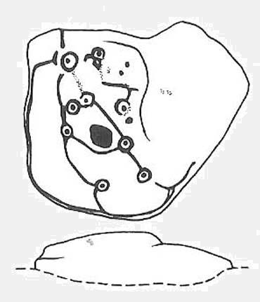
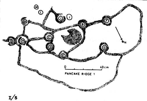
Unlike some folk who’ve seen this old stone, I find this carving superb. Its one of my favourites up here! Its alternative name – the Planet Stone – perhaps lends you to expect something more, but this is down to the astronomer who thought this was some type of heavenly image (which is most unlikely). I prefer to call it the ‘Map Stone’ because the correlates this carving has with indigenous aboriginal cup-and-rings is impressive and — to Aborigines anyway — would have all the hallmarks of a map. But not a ‘map’ in the traditional sense of modern humans. The incidence of cups and rings linked by curvaceous lines, typifies routes between water-holes or settlement spots made by ancestral beings — which is just what we find at this carving here. These ancestral beings need to be seen in a quite mythic sense: they may be creation deities (giants, gods, etc), animal spirits, the routes of shaman spirits, or other expressions of homo-religiosus.
Map Stone (note the carved line along the very edge of the rock)…and again from another angle
In the Map Stone here, we see that the very edge of the rock (fig.2 & 3) is ‘encircled’, perhaps (and I say perhaps) symbolic of the edge of the world. The lines and rings upon the top of the rock may symbolize journeys to and from important places. Another impression I get of this carving, with the “map” idea, is that the large pecked diamond-shaped ‘cup’ near the middle of the carving is a large body of water around which the archaic routeways passed. The next time anyone visits this stone, have a look at it with this idea in mind. Its simple, straightforward and makes sense (mind you – that doesn’t mean to say it’s right!).
The first account I’ve found of this comes from the pen of J. Romilly Allen (1882), where this stone “measuring 5ft 3in by 5ft, and 1ft 9in high” was described thus:
“On its upper surface, which is nearly horizontal, are carved thirteen cups, varying in diameter from 2 to 2½ in, eleven of which are surrounded by rings. There is also an elaborate arrangement of connecting grooves.”
Although we can only work our nine cup-and-rings here today, Mr Allen seemed suitably impressed with this old carving. Stan Beckensall (1999) seemed to have a good feel of this design too, describing it thus:
“Two thirds of the surface of this earthfast sandstone have been used in a design that partly encloses the marked part of the rock with long curvilinear grooves along its edge, and the inner grooves link single rings around cups. The effect is one of inter-connection and fluidity.”
Hedges 1986 sketch
The Map Stone was also looked at to examine the potential for Alexander Thom’s proposal of a megalithic inch: a unit of measure speculated to have been used in neolithic and Bronze Age times for the carving of cup-and-ring stones. Using nine other carvings on these moor as samples, Alan Davies (1983, 1988) explored this hypothesis and gave the idea his approval. However the selectivity of his data, not only in the carvings chosen, throws considerable doubt on the idea. Unfortunately the idea doesn’t hold water. The ‘geometry’ in the size of cup-and-rings relates more to the biometrics of the human hand and not early scientific geometry, sadly….
References:
Allen, J.R., ‘Prehistoric Rock Sculptures of Ilkley,’ in Journal British Arch. Assoc., 35, 1879.
Allen, J.R., ‘Notice of Sculptured Rocks near Ilkley, with some Remarks on Rocking Stones,’ in Journal British Arch. Assoc., 38, 1882.
Allen, J.R., ‘Cup and Ring Sculptures on Ilkley Moor,’ in Reliquary Illus. Archaeology, 2, 1896.
Beckensall, Stan, British Prehistoric Rock Art, Tempus: Stroud 1999.
Boughey, K.J.S. & Vickerman, E.A., Prehistoric Rock Art of the West Riding, WYAS: Exeter 2003.
Collyer, Robert & Turner, J.H., Ilkley: Ancient and Modern, William Walker: Otley 1885.
Cowling, E.T., Rombald’s Way, William Walker: Otley 1946.
Davis, Alan, ‘The Metrology of Cup & Ring Carvings near Ilkley in Yorkshire,’ Science Journal 25, 1983.
Davies, Alan, ‘The Metrology of Cup and Ring Carvings,’ in Ruggles, C., Records in Stone, Cambridge 1988.
Hedges, John, The Carved Rocks on Rombald’s Moor, WYMCC: Wakefield 1986.
Alan Davies’ image of the carving – with carved ‘lake’ near centre
Loadsa ways to get to this little outcrop, which the Boughey & Vickerman survey (2003) says comprises of five different carvings (CRs 33-37). I’m not so sure misself. When Stuart Feather first found these in the 1950s, he only thought three stones were carved, which I think is the more accurate.
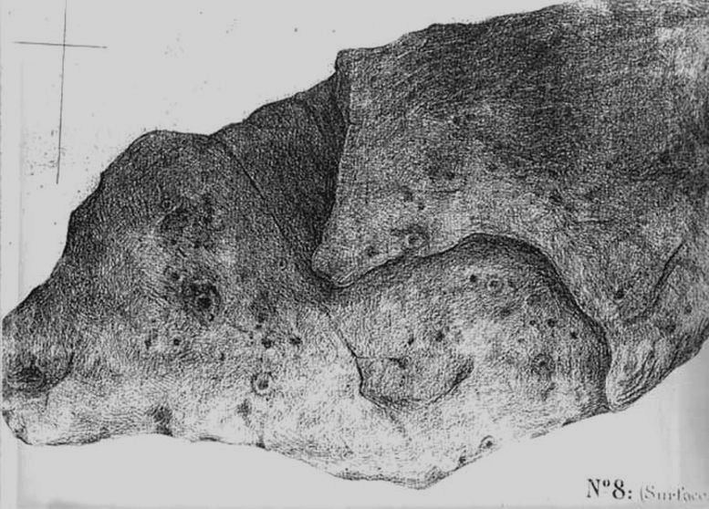
Most folk would probably prefer to walk down the slope from Holden Gate down the footpath past Jaytail Farm, then dropping down to the very bottom of the fields (south) where you’ll see a small knoll with a cluster of rocks just in front of the tree-line. But I wandered up thru the ‘Private’ (ahem!) woodland, wet-thru in the pouring rain, and clambered over the wall right to the very spot (the old dowser’s ‘seek-and-find-rock-art’ nose worked again!).
Archaeology & History
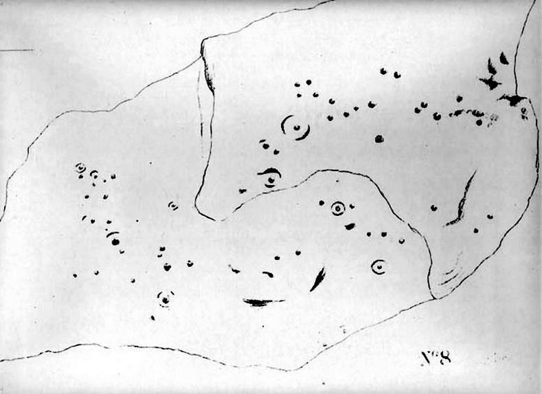
High Carr Cup-Marked Stone – from Hedge’s Carved Rocks on Rombald’s Moor
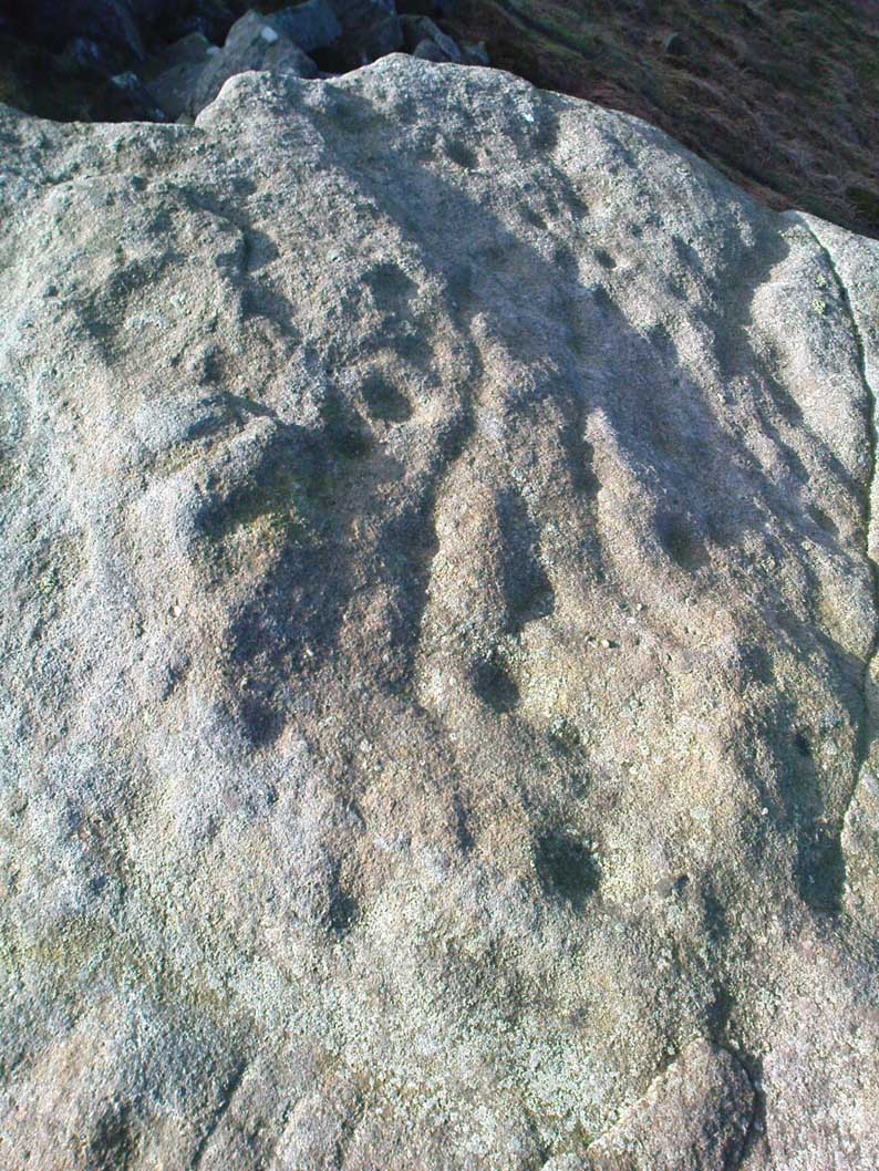
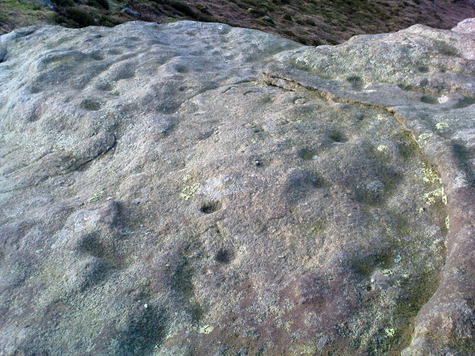
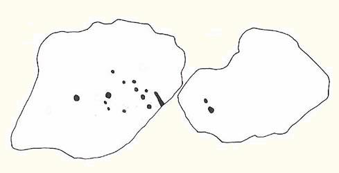
Listed in John Hedge’s (1986) survey as carvings 1-5, I’d say there’s one “definite” carving here, but the others – comprising simply of cups – are a little dubious. The main carving has at least six definite cup-markings, found on the rock at the highest point of the knoll at the bottom of the field. The drawing in Hedge’s survey shows as many as 12 cups on this stone, but I’m not totally convinced. Another stone right next to the main one has, perhaps, a cup-marking or two on it – but again, these may be natural.
Of the other alleged carvings, it was difficult to work out as they were literally covered in tons of cow-shit. It seems this rock-outcrop is the local bovine toilet! A lovely secluded place though, with plenty of wildlife to see. Next stop from here: the great Holden waterfalls!
References:
Boughey, K. & Vickerman, E.A., Prehistoric Rock Art of the West Riding, WYMCC: Wakefield 2003.
Feather, S., ‘Three Bronze Age Rock Carvings near Keighley,’ in CHAGB 4:3, 1959.
Hedges, John D., The Carved Rocks on Rombald’s Moor, WYMCC: Wakefield 1986.
Take the road from Shipley to Guiseley, the A6038, past the turn-off to Esholt, until you get to the top of what’s locally known as Hollins Hill. There’s a small farm-track to your leftand in the woodland here you’ll find the rocky outcrop.
Archaeology & History
Nothing has been written about this spot, but in this large wind-and-water worn rock outcrop, with its small cave, on the top part of the rock are several faint cup-markings.
Folklore
Legend tells that a man on horseback jumped from the top of here and landed safely at Low Hall, Yeadon, 2500 yards away to the east. (probably some sort of solar lore)
References:
Gray, Johnnie, Through Airedale, from Goole to Malham, 1891.
To get here, start from Bingley centre, go through Myrtle Park, across the river bridge and turn right at the dirt-track. Walk on & go over the old bridge/ford of Harden Beck, keeping with the track until the next set of buildings and be aware of a footpath left here. Take this and cross the golf-course, bearing SE until you reach the edge of Cottingley Woods. Take the distinct footpath into the trees & walk up the vivid moss-coloured path until you reach the level at the top where the woods become more deciduous. Here, turn left for 100 yards into the bit of woodland which has been fenced-off and walk about. You’ll find it!
Archaeology & History
Cottingley Woods Fairy Stone
This is a truly superb cup-and-ring stone which anyone into the subject must take a look at! It was first found by the old forester here, Ronald Bennett, in 1966 — ten years before the rock art student Keith Boughey (2005) mistakenly reported it to have been found “by Valerie Parkinson…in 1976.” Everything about it’s excellent — but I think the setting in woodland is what really brings it out.
The first published account and photograph of this superb carved stone seems to have been in Joe Cooper’s (1982) precursory essay on the Cottingley Fairies in an article he wrote for The Unexplained magazine in the 1980s. A few years later I included the stone in a short article on local folklore (Bennett 1988), then again much later in The Old Stones of Elmet (2001). It was curiously omitted from Boughey & Vickerman’s (2003) survey, as were the other carvings that are found very close by. Not sure why… But of the small cluster here (I’ll add the others later), this carving stands out as the best of the bunch by far! Its name has nothing to do with the Cottingley Fairy folk down town: it simply originates from my own teenage thoughts and the true ambience of the setting. Check it out!
Joe Cooper’s 1982 photoFairy Stone carving
The rock is typical millstone grit and its carved upper surface measures roughly 3 yards east-west and 2 yards north-south, sloping gently into the ground. As the photo shows, this is an elaborate design seemingly centred around two large and another smaller circular form, each enclosing a number of internal cups, ring and lines. The next time we’re over there, we’ll try get some clearly images and make a detailed drawing of the old fella! In the event that you visit here, check out the other three carvings close to this primary design — and try work out which one of the three was carved by the scouts in more modern times! Another simple cup-marked stone was recently found in the undergrowth a short distant east of this group.
Sketch of the design in 1981
Recently the carving was given attention with what’s known as photogrammetry software: this enables a more complete image of the 3-dimensional nature of objects scrutinized. In the resulting photos (which I’m unable to reproduce here due to copyright restrictions), a previously unseen long carved line was detected that runs across the middle of the larger of the two enclosing rings. Hopefully in the coming months, those with the software (can’t remember whether it’s English Heritage or Pennine Prospects who won’t allow it) might allow us to reproduce one or two of their images to enable the rest of the world to see what their images have uncovered. After all, considering that we peasants brought this carving to their attention, you’d at least hope they could repay the finds. Some of these larger organizations, despite what they may say, simply don’t swing both ways!
Folklore
In an early edition of my old Fortean archaeology rag of the 1980s, I narrated the tale of one Anne Freeman, who was walking through the woods here. When she reached the top of the woods, near some stones she heard a loud chattering and allegedly saw two tiny figures barely one-foot tall wearing red outfits and green hats in “medieval peasant dress”. Andy Roberts (1992) later repeated the tale and illustrated the carving in his Yorkshire folklore work.
In the 1960s, the old ranger Ronnie Bennett (no relative of mine) who first found these carvings, also reported that he saw little people here: “not one, but three,” as he said. Not fairies with wings, but more gnome-like.
References:
Bennett, Paul, Of Cups and Rings and Things, unpublished: Shipley 1981.
Bennett, Paul, ‘Tales of Yorkshire Faeries,’ in Earth 9, 1988.
Bennett, Paul, The Old Stones of Elmet, Capall Bann: Milverton 2001.
Boughey, Keith, “A Group of Four Cup-and-Ring-Marked Rocks at Black Hills, Cottingley Woods,” in Prehistory Research Section Bulletin, no.42, 2005.
Cooper, Joe, ‘Cottingley: At Last the Truth,’ in The Unexplained 117, 1982
Roberts, Andy, Ghosts and Legends of Yorkshire, Jarrold 1992.