Cup-and-Ring Stone (lost): OS Grid Reference – Q 43 11
Archaeology & History
Judith Cuppage (1986) recounted that in the unpublished Minutes of the County Kerry Field Club for 1944, mention was made of a multiple-ringed petroglyph that hasn’t been seen since. It sounds quite impressive. She told how they’d,
“discovered a stone bearing a cup-and-gapped circle and a cup-and-3 gapped circles, “on the fence opposite the church” at Camp. Mortar still adhering to the stone as if it had been removed from a building.” Adding that, “neither its original provenance nor present whereabouts are known.”
Surely some good wise local still knows where this olde stone lives? In a garden perhaps…? It would be good to know that it’s still alive and well.
References:
Cuppage, Judith, Archaeological Survey of the Dingle Peninsula, Oidhreacht Chorca Dhuibhne: Ballyferriter 1986.
Acknowledgements:Huge thanks for use of the Ordnance Survey map in this site profile, reproduced with the kind permission of the National Library of Scotland.
Less than a mile east of Callander on the main A84 road, nearly 300 yards just past the entrance into the Keltie Bridge caravan park, take the tiny road on your left (north) and barely 100 yards along where a small crossroads can be said to exist, go straight forward up the tiny single-track road ahead of you. Literally 0.62 miles, or 1km up, park on the right-side of the road where a small grassy track runs up the slope. From here, you need to keep walking up the road itself, bearing right just past the small bridge and, about 350 yards along you’ll see a notable rise in the field on your right less than 100 yards in. Head straight for it!
Archaeology & History
Despite this being a very basic simplistic design, I’m somewhat disappointed in myself as when we visited here, She was pouring with rain and for some reason or other I didn’t indulge myself in the soaking muddy ground and peel back the dung-infested turf to see the entire surface of this stone—and so, as a result, didn’t see the carving in its entirety. I’d have got soaked and been covered in shit! 🙂 But later this day we were visiting an antique centre and book-dealer straight afterwards, so for once I couldn’t play in the mud. Damn those neat and tidy folk!
It’s nowt special to look at in all honesty, but it’s in a good state of preservation as it was seemingly uncovered in pretty recent times beneath the curious large mass of loose stones right next to it. The stone mass gives the impression of it being a ruined cairn, but seems more likely to be a clearance cairn that was piled up, quite fortuitously, next to the cup-marked rock.
The carving consists of eight cup-marks (not all shown in these photos): five large and prominent, one not so prominent, and two that are small and very shallow. The more distinct cups would seem to have been worked and re-worked many times, obviously possessing a practical nature of some sort. As we can see in the photos, four of the larger cups stand out, whilst the small ones can be difficult to see. If there are any petroglyphic locals who fancy getting up here to clear the rest of the stone to see if there are more cup-marks underneath the soil, please let us know! Perhaps check it out when you’re looking at the nearby cairns at Ballachraggan and beyond.
References:
Main, Lorna & Page, R., “Easter Brackland, Stirling,” in Discovery & Excavation Scotland, volume 2, 2001.
A little-known multiple ringed carving was discovered a few years ago during the excavation of a prehistoric cairn just immediately east of the A701 roadside, several miles south of Broughton. The cairn itself had been recognised many years prior to the recent excavation, when one of two cists inside it was noted by R.B.K. Stevenson (1940), and which was subsequently described in slightly more detail in the Royal Commission Inventory (1967). But when the modern investigation was undertaken by the Biggar Archaeology Group in 2008, a damaged but impressive carving was uncovered that somehow hadn’t been noticed before. It was described in Tam Ward’s (2008) excavation report where he told that,
Carving in situ (photo courtesy Jim Ness)Carving looking N: courtesy Jim Ness
“lying almost immediately on the east side of Cist 1 is an angular rock…measuring 1m long and over 0.3m wide on the uppermost face, itself lying at an angle facing SW and away from the cist. The rock has fractured due to weathering in post deposition times, as indeed several other surface stones had, but on the widest part of the upper surface are at least seven concentric lines faintly pecked into the smooth flat surface of the stone. The lines are up to 10mm wide and appear to have been intended to form semi ovals on the edge of the rock. The outer ring forms an arc of c270mm on the long axis by c140mm on the short one (the former measurement being straight between the ends of the lines and the latter being a radius across the design). The terminals of the inner curved line are about 80mm apart. The lines are slightly irregular in distance from one another. Although it is far from certain, it does not appear that the rock has been part of a larger one with a more complete design on it, rather the pecking appears not to have been finished since the surface of the rock is similar in appearance overall while the abrasion of the carving varies.”
Fractured design (photo courtesy Jim Ness)
The carving remains in place with the cist, which was covered back over when the excavation had been finished.
Carvings such as this are uncommon in this neck o’ the woods; although less than a mile downstream from here, on the other side of the river, another petroglyph—known as the Drumelzier carving—accompanied another prehistoric tomb. Apart from this, there’s a great scarcity of carvings scattering the Lowlands—although it’s likely that there are others hiding away, waiting to be found on these hills…
References:
Royal Commission on the Ancient & Historical Monuments, Scotland, Peeblesshire – volume 1, Aberdeen University Press 1967.
Stevenson, R.B.K., “Cists near Tweedsmuir,” in Proceedings Society Antiquaries, Scotland, volume 74, 1940.
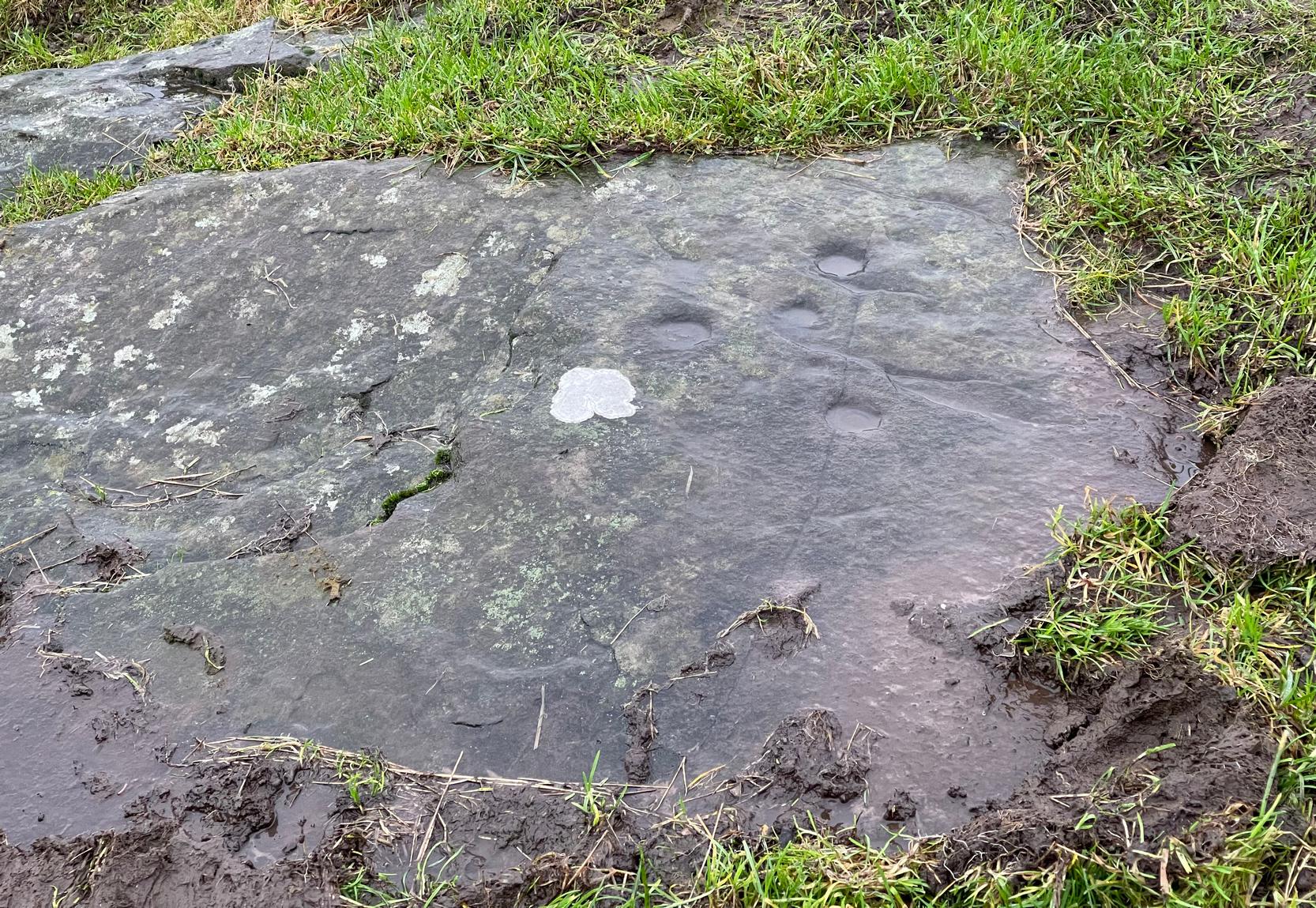
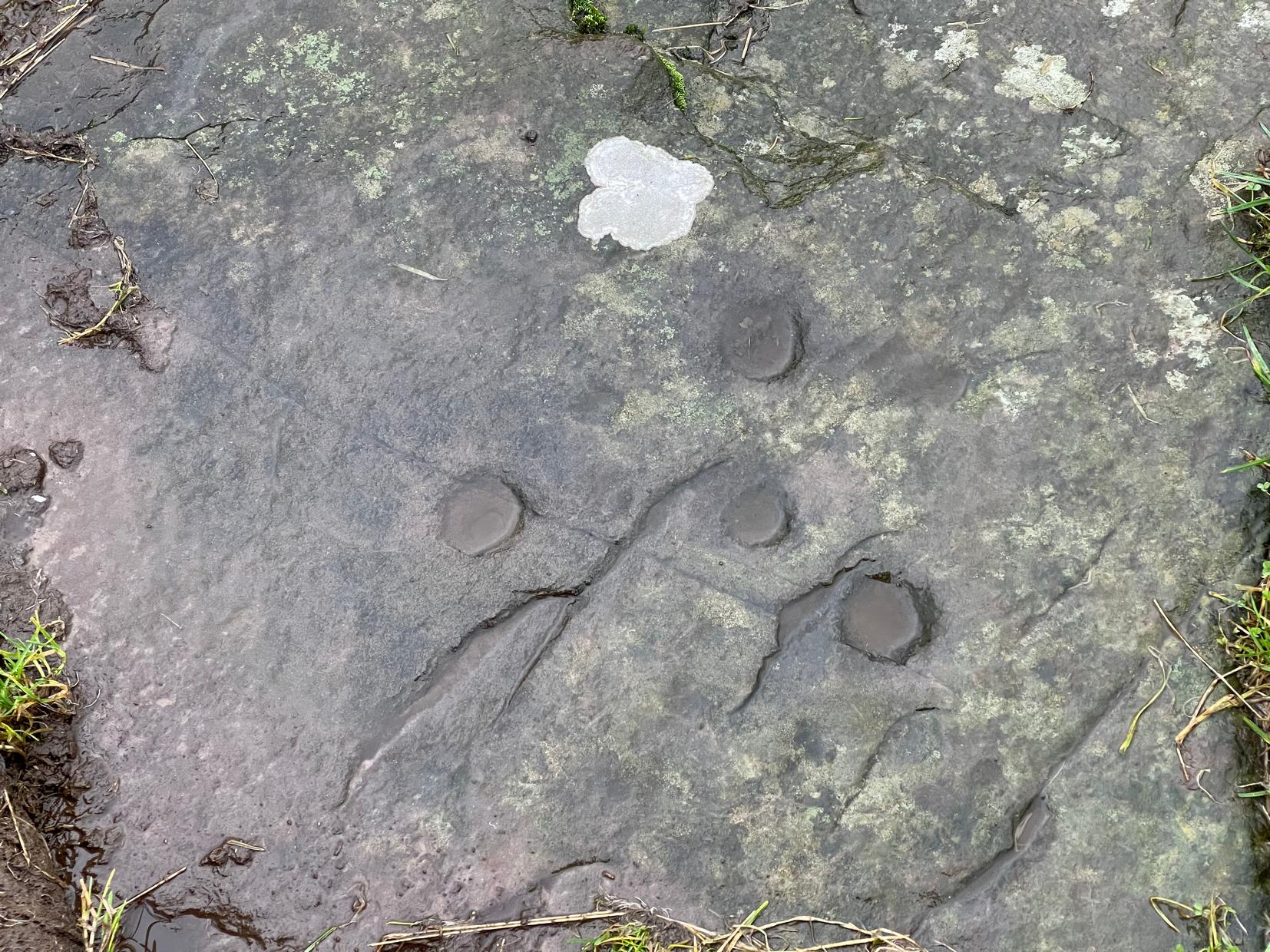
Tumulus (destroyed): OS Grid Reference – SX 0309 5227
Archaeology & History
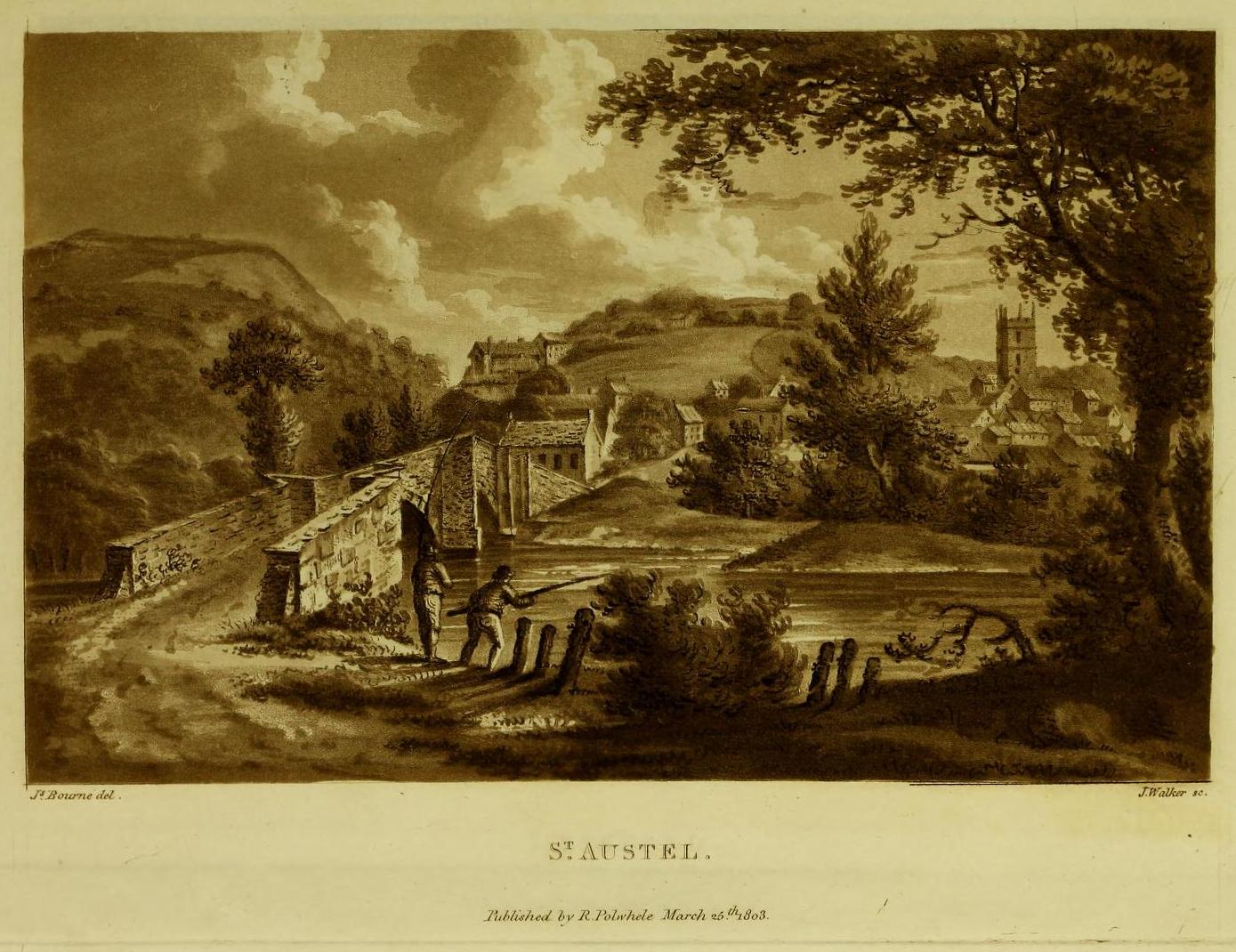
More than two hundred years ago, an impressive prehistoric burial mound lived in an area that used to be known as Gwallon Down, not far from the impressive Long Stone monolith, about half-a-mile west of Charlestown on the southern edges of St. Austell, but it was completely destroyed in 1801. Thankfully there was a lengthy account made of the site in John Whitaker’s (1804) huge work, but there seems to be little else known of it. He told us:
“In the middle of that extended waste, the downs of St. Austle, was, what was called One Barrow. This waste, in 1801, was resolved to be enclosed, and the barrow was obliged to be levelled. In this operation, the single workman came near the centre, and there found a variety of stones, all slates, ranged erect in an enclosure nearly square. The stones were about one foot-and-a-half in height, apparently fixed in the ground before the formation of the barrow. The stones were all undressed, but had little stones carefully placed in the crevices at the joints of the large, in order to preclude all communication between the rubbish without and the contents within. On the even heads of these stones was laid a square freestone, which had evidently been hewn into this form, which seemed to rest with its extremities on the edges of the others, and was about eighteen or twenty inches in diameter. The summit of the barrow rose about eight or ten feet above all. In the enclosure, the leveller found a dust, remarkably fine, and seemingly inclining to clay. On the surface it was brown, about the middle downwards it took a dark chestnut colour, and at the bottom it approached towards a black. On stirring it up, a multitude of bones appeared, different in the sizes, but none exceeding six or seven inches in length. Among them were some pieces about the largeness of a half-crown, which, from their concave form, convinced him they were parts of a skull. The whole mass of bones and ashes might (he thought) be about one gallon in quantity. On touching the bones, they instantly crumbled into dust, and took the same colour with the same fineness as the dust in which they were found. They were exceedingly white when they were first discovered, but remarkably brittle; the effect assuredly of their calcination in a fire, antecedent to their burial. Much in fineness and in colour with these ashes, appeared several veins of irregular earth on the outside of the enclosure; which, from their position without, yet adjoining, and from the space occupied by them there, he conjectured to have been bodies laid promiscuously upon the funeral pile, but which I conjecture to have been only the ashes adhering to the ground, and not possible to be separated from it, for a burial with the rest within the enclosure. They had nothing of sand in them, but seemed inclining to clay, and even more so (from the adhering soil probably) than the dust of the enclosure. And, as the workman was fully convinced of what every one else must acknowledge, that the ashes and the bones of the enclosure had once belonged to a human body, he very properly took up the whole with care, placed the stones nearly in their original posture within an hedge contiguous, then in building, placed also the bones with the ashes within their original enclosure there, and even placed the covering-stone over both.”
One wonders where precisely the hedgerow happened to be where the stones were placed “nearly in their original posture”, and if this reconstruction was ever recovered.
The site was subsequently mentioned in Polwhele’s (1816) massive survey, reiterating Whitaker’s description, simply telling how:
“With respect to the monumental remains in the neighbourhood of St Austel, a very ingenious correspondent says in one of the mounds of earth on our downs which was lately levelled a kind of urn was discovered which evidently contained human ashes many of the bones were entire but appear to have been calcined I am well acquainted with the man who dug this up.”
References:
Borlase, William Copeland, Nænia Cornubiæ, Longmans Green Reader: Truro 1872.
Hammond, Joseph, A Cornish Parish: Being an Account of St. Austell, Skeffington & Sons: London 1897.
Polwhele, Richard, The History of Cornwall – volume 2, Law & Whittaker: Truro 1816.
Whitaker, John, The Ancient Cathedral of Cornwall – volume 2, John Stockdale: London 1804.
Travel along the B867 road from Bankfoot to Dunkeld (running roughly parallel with the A9) and you’ll reach the hamlet of Waterloo about one mile north of Bankfoot. As you approach the far end of the village, keep your eyes peeled for the small turning on your left and head up there for just over a mile. The road runs to a dead end at Meikle Obney farm, but shortly before reaching there you’ll pass this large standing stone on the right-side of the road, just along the fence-line. It’s almost impossible to miss!
Archaeology & History
This is one of “the large rude upright stones found in the parish” that William Marshall (1880) mentioned briefly, amidst his quick sojourn into the Druidic history of Perthshire. It’s an impressive standing stone on the southern edges of the Obney Hills that doesn’t seem to be in its original position. And it’s another one that was lucky to survive, as solid metal staples were hammered into it more than a hundred years ago when it was incorporated into the fencing, much like the massive Kor Stone 6½ miles south-west of here.
Site shown on 1867 mapWitch’s Stone at roadside
Shown on the first Ordnance Survey map of the area in 1867, its bulky 6½-foot-tall body stands all alone on this relatively flat plain, with open views to the east, south and west. It gave me the distinct impression that it was once part of a larger megalithic complex, but I can find no additional evidence to substantiate this. Call it a gut-feeling if you will. Intriguingly, the closest site to this are two standing stones just out of view literally ⅔-mile (1.07km) to the northeast, aligned perfectly to the Witch’s Stone! Most odd…
Folklore
The story behind this old stone is a creation myth that we find all over the country, but usually relating to prehistoric tombs more than monoliths. The great Fred Coles (1908) wrote:
“the common legend is told of a witch who, when flying through the air on some Satanic behest, let the Stone fall out of her apron.”
Marshall, William, Historic Scenes in Perthshire, William Oliphant: Edinburgh 1880.
Stewart, Elizabeth, Dunkeld – An Ancient City, Munro Press: Perth 1926.
Acknowledgements:Huge thanks for use of the Ordnance Survey map in this site profile, reproduced with the kind permission of the National Library of Scotland.
Take the tiny long winding B8063 road that runs west off the A9 at Luncarty, meandering eventually to the entry of the Sma’ Glen. If you’re coming via Luncarty, after going west for 8 miles (12.9km) you pass the hamlet of Harrietfield and just a few hundred yards further a dirt-track on your right goes uphill to Milton. If you’re coming via Crieff/Sma’ Glen direction, along the B8063 road, cross the Bridge of Buchanty and after nearly 3 miles (4.7km) just past a bit of a hairpin, you’ll see the track up to Milton on your left. Walk up, past all the newly modernised houses and go through the gate, bearing right where, in the field on your right (thru another gate) you’ll see this big fella standing alone 200 yards to the east along the fence-line.
Archaeology & History
Looking N to Crochan Hill
This is a bit of a hidden beauty! Standing nearly ten feet tall on the crest of an elongated ridge with the land ever so gently declining either side of its proud stand, it beckons the impression of partners long since gone (or something truly olde)… and so it proved to be. Very little has been written about the place, despite its impressive stature. It seems to have been described firstly in J.W. Thomson’s essay on the local parish in April 1837 (subsequently published in the NSA in 1845) where, ascribing it as usual to the druids of olde, he told that,
“at the western extremity of Logiealmond, there is one remarkable block about 12 feet high and 18 feet in circumference, standing upon its narrow end, with three other stones in its immediate vicinity. It is commonly called the Kor Stone.”
Kor Stone, looking SE
Fred Coles’ 1911 sketch
William Marshall (1880) also mentioned these three additional standing stones, saying that they were “apparently part of a row.” But they are long gone and we know not what became of them. They were probably uprooted and included in some of the nearby walling or buildings (quite a lot of suspicious-looking stones scatter the edges of many fields around Logiealmond). If we look closely at the surface of our Kor Stone, in earlier times someone has fixed metal loops into the monolith to make it part of an early fence or gate.
The stone was highlighted on the 1867 OS-map of the area and described in the accompanying Name Book,
“Carse” Stone on 1867 map
“A stone about ten feet high, supposed by some people to be the remains of a Druidical Circle, by others to be a mark on a division of lands: in support of the latter supposition they bring forward the fact of a large stone at Dunkeld and one near Fowlis – both similar to this one – and The Carse Stane being in the same straight line.”
The great Fred Coles (1911) also gave the place his attention, but apart from a brief description of its size and position, he found no additional lore about the other three stones, telling us simply:
“It is an imposingly large and erect block of rugged whinstone, 9 feet 9 inches in height, with a basal girth of 15 feet 10 inches, but at about midway of its height the girth increases to fully 17 feet. The view…shows the Stone as seen from the east.”
In truth, the location of this giant stone on the ridge strongly suggests it was once part of a much greater megalithic neolithic monument. But whatever that might have looked like, we may never know. It’s an awesome site though. Well worth checking out if you’re in the area.
Finlayson, Andrew, The Stones of Strathearn, One Tree Island: Comrie 2010.
Marshall, William, Historic Scenes in Perthshire, William Oliphant: Edinburgh 1880.
Thomson, J.W., “Parish of Moneydie,” in New Statistical Account of Scotland – volume X: Perth, William Blackwood: Edinburgh 1845.
Acknowledgements:Huge thanks for use of the Ordnance Survey map in this site profile, reproduced with the kind permission of the National Library of Scotland.
Cup-and-Ring Stone (removed): OS Grid Reference – NT 1872 4072
Archaeology & History
Included in the standard catalogues by Ronald Morris (1967; 1969), this carving was brought to light fortuitously by the local farmer who, thankfully, recognized its archaeological importance. Etched into a small flat broken block of stone, he noticed a cup-marking and the remains of a triple-ring around it, with grooves running out from the central cup. It was described in detail by the Royal Commission (1967) lads in their county survey where they told:
R.W.B. Morris’ 1967 photo
Hallyne carving in Peebles Museum
“During the excavations at the Roman fort at Lyne…in June 1959, a stone bearing cup-and-ring markings was found lying beside the fence that crosses the North Annexe. According to local information it was found while ploughing in the field on the NE side of the fence. It is a sandstone block, measuring 1ft 5in by one foot, and with an average thickness of 8in. It is clearly a mere fragment of what must have been a larger slab, but it is impossible to estimate its original dimensions. The markings consist of a single well-formed cup, 2in in diameter and three-quarters of an inch in depth, now partly surrounded by the broken arcs of three rings, which, if complete, would measures about 4in, 7in and 10in in diameter respectively. The rings are all half an inch in width and one eighth of an inch in depth. From the innermost ring two radial grooves, set one inch apart, extend outwards for a maximum distance of 4in. They interrupt the two outer rings, which stop short on either side of them, leaving a gap of about half an inch. The grooves are slightly narrower and shallower than the rings. The whole symbol has been formed by the pecking technique and punchmarks are still remarkably fresh. Outside the outermost ring there is a very shallow depression, one inch in diameter, which may be another cup-mark; in addition there are several recent scars caused by the plough.”
It was moved to the museum in Peebles shortly after being found and remains there to this day, apparently. I’ve not seen it.
References:
Morris, Ronald W.B., “The Cup-and-Ring Marks and Similar Sculptures of South-West Scotland,” in Transactions of the Ancient Monuments Society, volume 14, 1967.
Morris, Ronald W.B., “The Cup-and-Ring and Similar Early Sculptures of Scotland; Part 2 – The Rest of Scotland except Kintyre,” in Transactions of the Ancient Monuments Society, volume 16, 1969.
Morris, Ronald W.B., The Prehistoric Rock Art of Southern Scotland, BAR: Oxford 1981.
Royal Commission on the Ancient & Historical Monuments of Scotland, Peeblesshire – volume 1, HMSO: Edinburgh 1967.
If you can make your way to the Stroness (2) carving, then walk down the slope for less than 50 yards past quite a few other earthfast stones, you’ll eventually run into the stone shown here in the photos. You’ll find it easily enough.
Archaeology & History
This carving was found when I was heading down the hillside to meet up with my antiquarian colleague 500 yards lower down. The sun was just setting, so visibility wasn’t good, but as I rushed from stone to stone feeling each one in the hope of finding a carving, this one gave my fingers that distinct feedback of a cup-marking; then another; and what seemed like another. I had a small amount of water left in a bottle and quickly sprayed it over the surface of the stone and saw that there were indeed a number of cups on it. Two or three certainly – but possibly as many as five. I laid on the wet ground and looked across its even surface from several angles and caught what seemed to be a very faint semi-circle around one of the cups. But I wasn’t sure it was real. However, on a number of quick photos I took, several of them do appear to show such an arc around one of the cups. But I’m very cautious about it. Only when we (or you) go back up and have a look at it in good light will we be able to affirm or discount it.
One additional feature that needs mentioning is a small low arc of walling just above this stone. It’s man-made, it’s very old, but I couldn’t work out what it might be: hut circle, cairn (there’s one further up the hill), enclosure walling. I’m not sure, but it needs to be looked at when we have a full day.
The minor road that runs roughly north-south between the hamlets of Fowlis Wester and Buchanty is probably your best bet. Nearly 2 miles north of the village up the tiny winding lane, where the moorland at the roadside finishes and the fields begin – is where to take the track, left, up onto the hillside. But after just 75 yards, go left over the rickety-gate and follow the walling until your reach the burn. Follow this up all the way to its source (it’s boggy as hell) and, once you’re there, walk due north for 250 yards until you reach a cluster of rocks. Look around!
Archaeology & History
It’s a long way to come to see such a simplistic design —but for the real petroglyph researchers among you, it’s worth it the trek. It’s had scant attention. George Currie (2004) seems to have been the only person to mention this stone, giving the standard bland description typifying archaeology. He wrote:
“SE-facing slope, 1.2m long pointed rock aligned E-W; three shallow cups, 30-40 x 6-10mm.”
Inspiring stuff, ey?! Anyhow… As usual, there’s more to it than that. If we assume that the carving described above is the same one I visited yesterday (Mr Currie’s grid-ref is slightly different), even despite the poor daylight, it was obvious there was more than three cup-marks on this.
Lower cups & upper cups
Cups on top
When I got to this stone, the evening sun was literally touching the horizon and so the light cutting across half the rock highlighted very little indeed. I was rushing, trying to fondle and see as much as I could before the darkening sky clouded everything, and as I almost frenetically sprayed showers of water across its surface, the two or three cups that I could see near the crown of the stone suddenly doubled in number. Two cups along one edge became three; whilst the sloping surface above these that had one cup suddenly seemed to have a companion. On the highest part of this gently sloping stone, the form of one of the two distinct cup-marks that first caught my eye seemed to slowly morph into one of the carved “footprint” designs, akin to those clustered on the Ardoch (2) carving 1½ miles south-west of here. However, this element needs looking at again, as it may have been a curious playful trick between stone and light showing me something that wasn’t there! Things like that happen with stones.
Altogether there are at least six cup-marks on here, but perhaps as many as eight. Obviously, if we (or you) visit the site when the light is much better, an even larger design might emerge from this old rock.
I spent perhaps just five minutes here, before heading back down to meet my companion 500 yards below in the midst of the boggy moorland. Usually a carving gets my fondles for a an hour or two, but conditions weren’t good for us to form a healthy relationship. And so, as I headed downhill, another unrecorded cup-marked stone appeared beneath my rushing feet (Stroness [3] carving)— and I spoke with that for only a couple of minutes. We need to come back up here and zigzag to find other companions that lay sleeping, forgotten for countless centuries…
References:
Currie, George, ‘Buchanty Hill (Fowlis Wester parish): Cup-marked Rocks’, in Discovery & Excavation Scotland, volume 5, 2004.
This curiously-named and barely frequented Megget Stane has seen better days. Found in the middle of a veritable nowhere, when Duncan Fraser (1901) first wrote about it there was only a solitary pathway running between these uninhabited glens, with this old stone standing as a solitary sentinel—albeit a not very grand one! It’s present position at the roadside was given it following a forced removal into a nearby ditch, when the old Edinburgh District Water authority who built the Talla Reservoir a couple of miles away all but destroyed it! On one of Mr Fraser’s many visits, in August 1899, he found what he called his “old friend…lying among the heather broken into three pieces.”
“I frankly confess that this wanton act of vandalism filled me with the deepest indignation,” he wrote—and so he sought to redress the situation and find out who’d damaged the old stone. It transpired that,
“The Edinburgh District Water Trust had a few months before this time purchased from Lord Wemyss the ground at the head of Meggat, which slopes down to Talla. In marking off their new possession, the Trust had run a strong five-barred wire fence along the march, and as Meggatstane stood on the line, why, Meggatstane was bound to go!”
He contacted a local farmer and, between them, they protested to the water company who, eventually, fixed the pieces of the stone back together and erected it in the position that we see today, very close to its original spot. Prior to it being damaged, Fraser told that it stood four feet tall, but when cementing it all back together again, some of its original size was lost.
Its history and legends had been forgotten even in his day and despite enquiries with other local wanderers, all that was ever told of it were variants on it standing hereby since time immemorial. For my part, I’m somewhat sceptical about it having a prehistoric provenance, despite the Royal Commission (1957) lads suggesting a Bronze Age origin—but that’s just my own feeling on the place. I’m more inclined to see this as an early mediaeval stone—but would love to be wrong. It may, perhaps, even date from Viking times…..
Fraser told us an intriguing note when the stone was eventually re-assembled,
” I was interested to learn that when they dug to the bottom of the stone, they found the part underground covered with certain runic-like characters.”
These don’t appear to have been seen since.
References:
Fraser, Duncan, “Meggatstane – An Incident in a Riverside Ramble,” in Border Magazine, volume 6, no.70, November 1901.
Royal Commission Ancient & Historic Monuments, Scotland, An Inventory of the Ancient and Historical Monuments of Selkirkshire, HMSO: Edinburgh 1957.
Acknowledgements:Huge thanks for use of the Ordnance Survey map in this site profile, reproduced with the kind permission of the National Library of Scotland.