Ring Cairn: OS Grid Reference – NN 82614 32996
Also Known as:
- Canmore ID 25565
- River Almond

The ruins of Glenshervie Circle
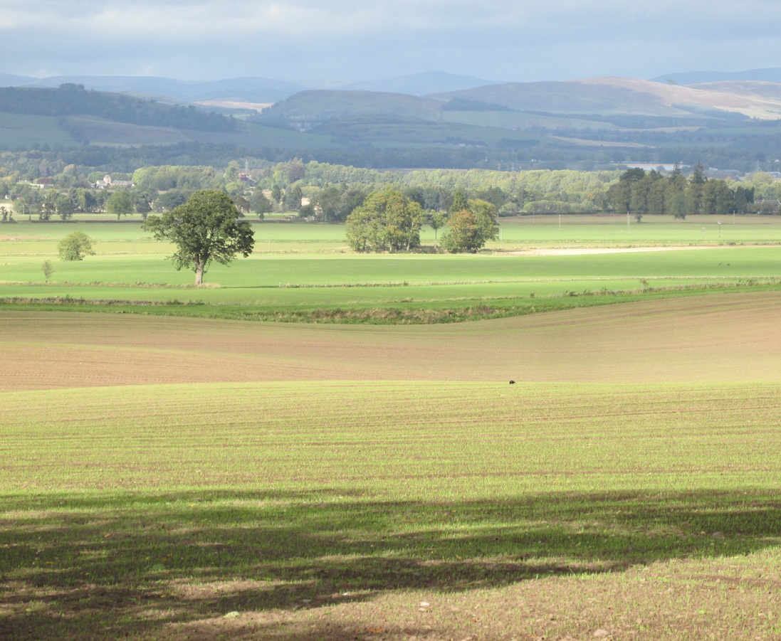
Take the dirt-track, off-road, up to the start of Glen Almond, for more than 4 miles — past the curious Conichan Ring, and past the standing stone of Clach an Tiompan, until you see the large modern walled circle in the field on your left. Go into that field and you’ll notice a ruined pile and small standing stones 56 yards (51m) WSW. Y’ can’t really miss it!
Archaeology & History
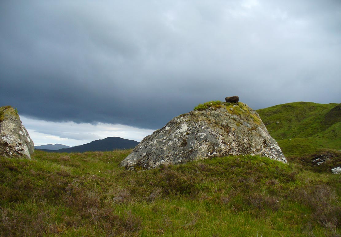
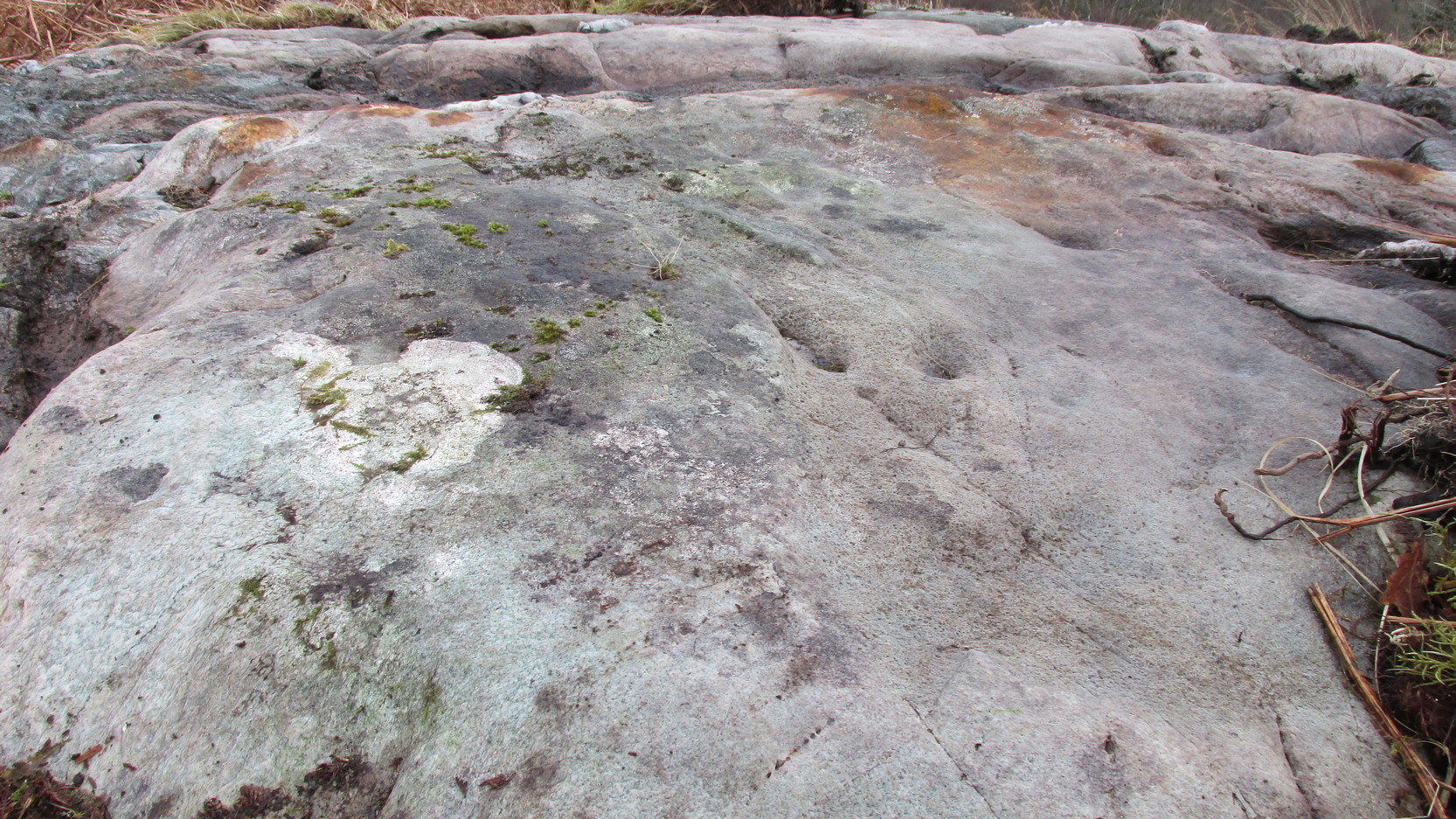
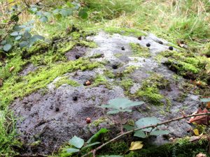
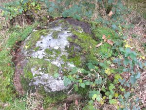
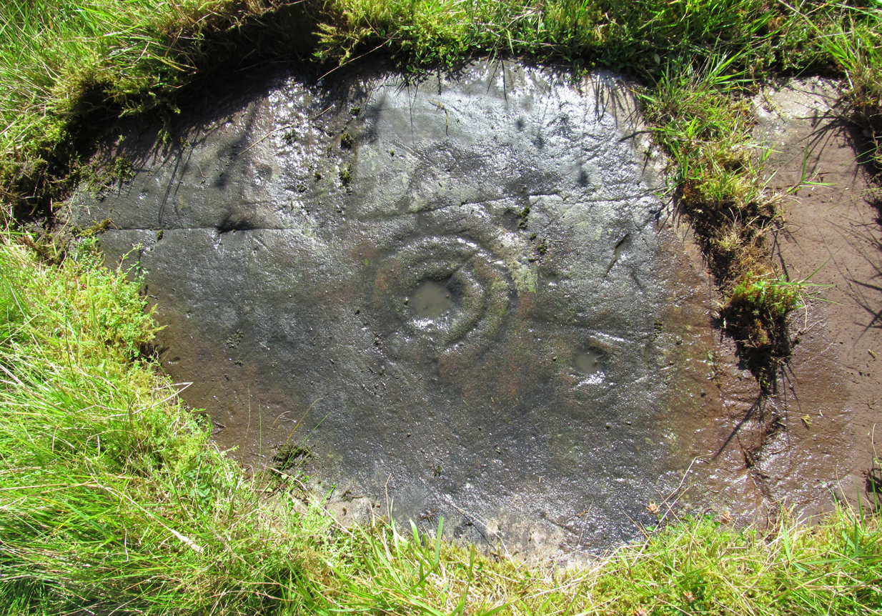
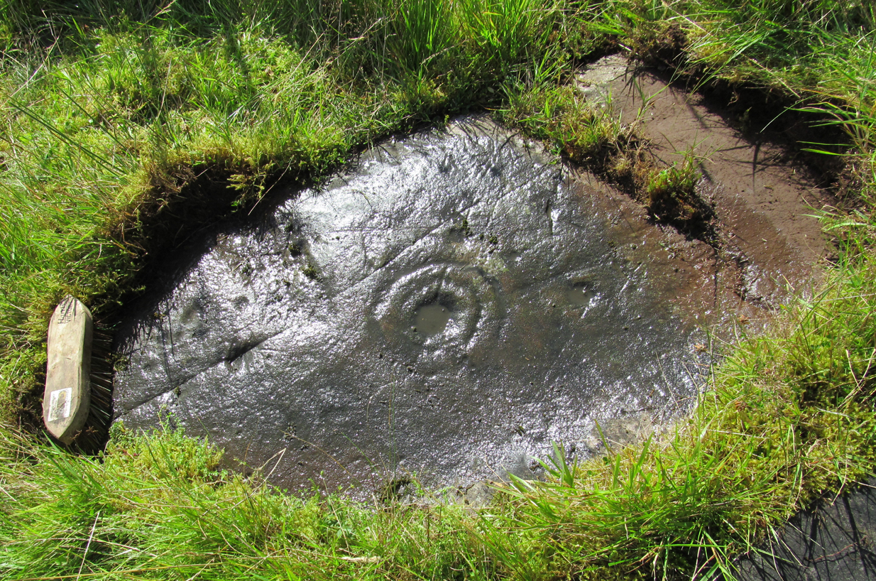
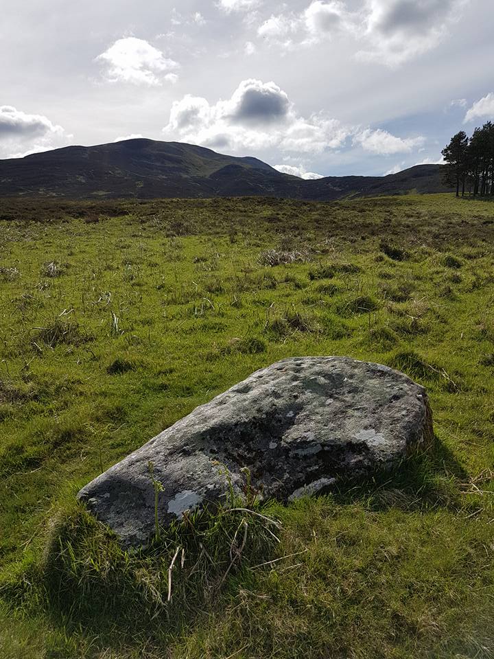
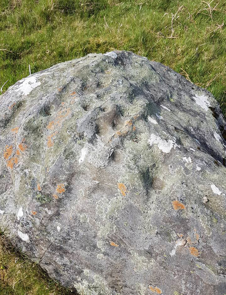
Sitting upon a flat grassland plateau close to the confluence of the Glenshervie Burn with the River Almond, the visitor here will notice an overgrown ovoid mass of old worn stones in the form of a prehistoric cairn, with two upright standing stones on the western edges of the pile. This is the remains of what the megalithic magus Aubrey Burl (1988) called the Glenshervie “four poster” stone circle.

Glenshervie stones, looking N

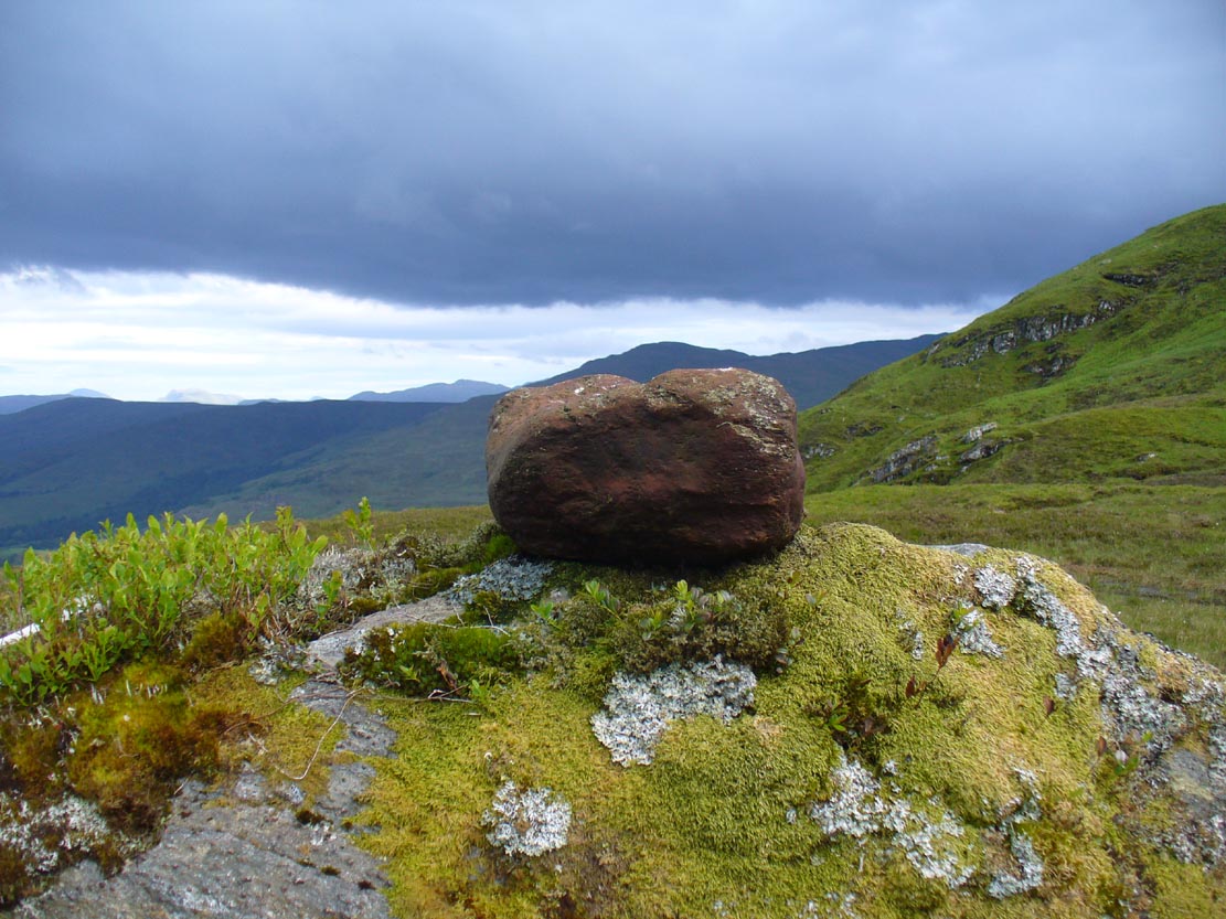
Glenshervie stones, looking W
Structurally similar to the neighbouring four-poster of Clach an Tiompan 470 yards (427m) to the ESE, and less damaged than the remaining megaliths of Auchnafree 568 yards (520m) to the northwest, this megalithic ruin was first mentioned in passing by Audrey Henshall (1956) in her survey of the giant Clach an Tiompan tomb and its adjacent ring. She told that,
“In meadowland beside the Almond, a small circle of standing stones, hitherto unrecorded, protrude through the water-worn material of a low cairn. This is a similar type of monument to the ruined site at Clach na Tiompan.”

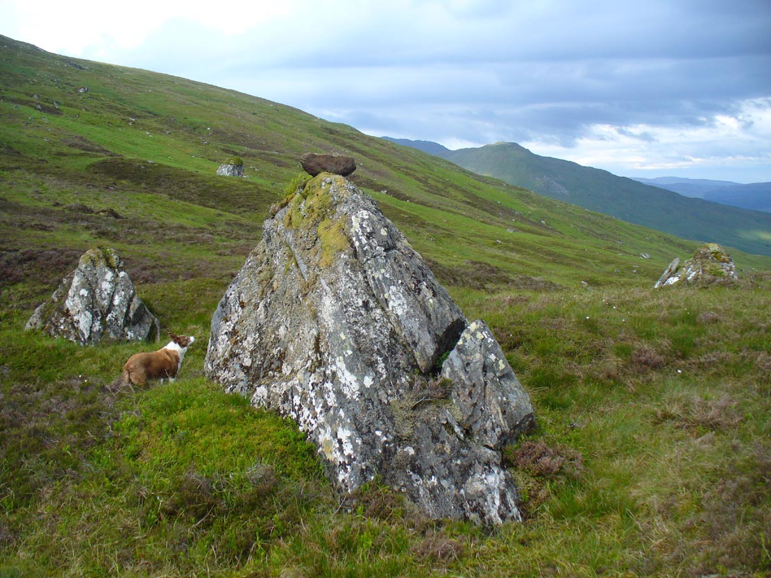
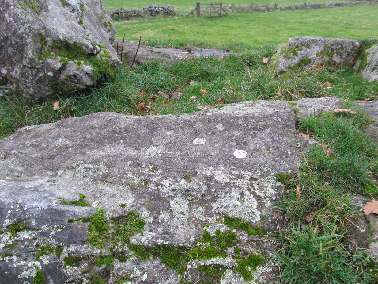
Close-up of cairn & stones

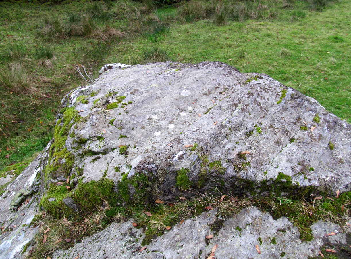
Glenshervie ruins, looking S
Indeed it is! Sadly however, it remains unexcavated — so we know not what its precise nature and function may have been. When Burl included the site in his 1988 survey, he could add nothing more than I can; but curiously described the two standing stones here as being only “about 1 ft (30cm) high.” They’re between two and three feet tall respectively, and the remaining cairn is between 5 and 6 yards in diameter, with the central rubble rising between 1 and 2 feet above the natural ground level.
The landscape at the point where this circle was built enables you to look up and down the glens of Almond and Shervie in three different directions. Whether or not this was deliberate, we cannot know for sure. But the setting on the whole, in the middle of where the glen widens out and hold this and the nearby monuments, is a beautiful setting indeed…
References:
- Burl, Aubrey, Four Posters: Bronze Age Stone Circles of Western Europe, BAR 195: Oxford 1988.
- Henshall, Audrey & Stewart, M.E.C., “Excavations at Clach na Tiompan, Wester Glen Almond, Perthshire,” in Proceedings of the Society of Antiquaries, Scotland, volume 88, 1955.
© Paul Bennett, The Northern Antiquarian