Legendary Tree (destroyed): OS Grid Reference – NO 27279 40789

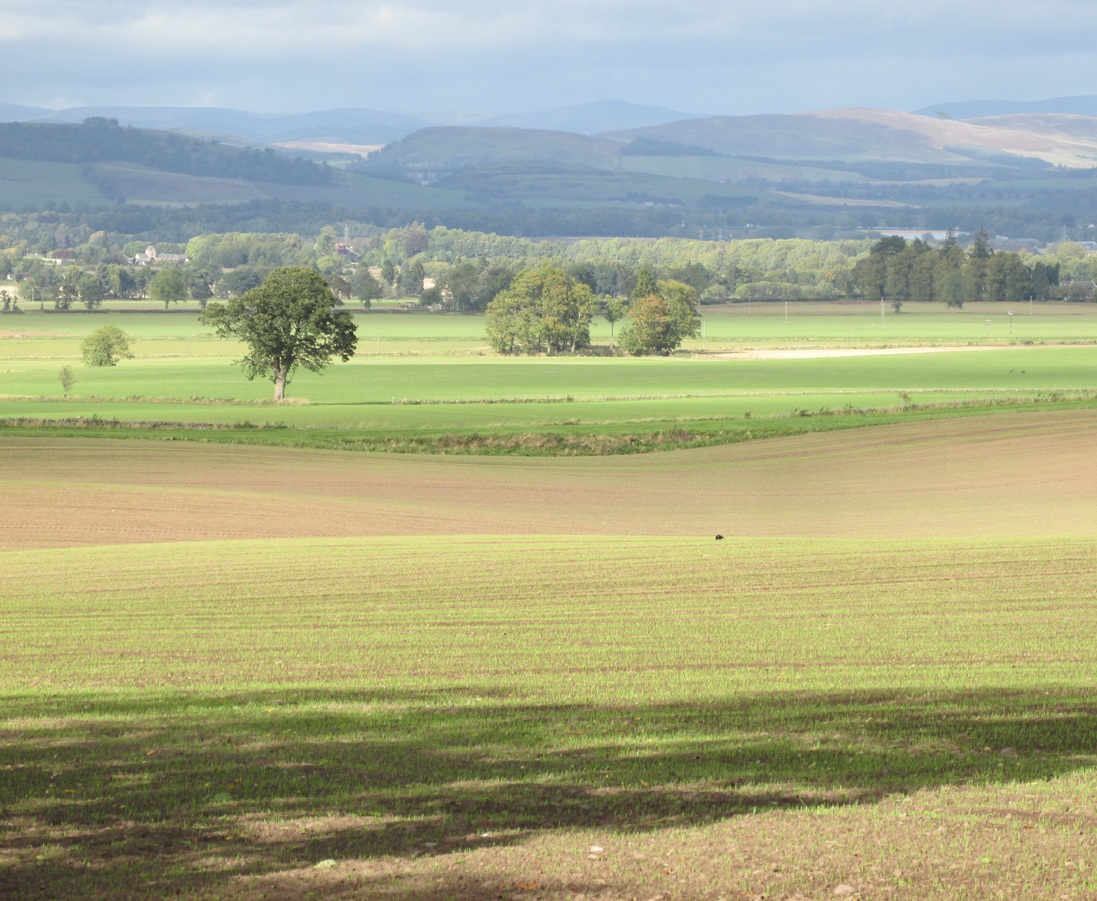
The site of the tree may be seen from the north side of the Kettins to Newtyle road, just before the Perthshire-Angus boundary sign. It stood on the south-west side of the dip at the far end of the field, next to the raised causeway.
Archaeology & History
Nothing now remains of the tree. The Ordnance Survey name book gives the following description, attested by Hugh Watson of Keillor, Thomas Mole of Denside and Charles Wood of High Keillor:
“[Situation] About 32 chains NE of Keillour. A large tree situated on the farm of Keillor. It is traditionally stated that Barons held their court under this tree, also that criminals were executed on it. Whence the name.”
The tree was about 160 feet to the south-west of the boundary between the parishes of Kettins and Newtyle, on the Kettins side, both of which parishes were historically in the county of Angus, so it was likely also to have been an ancient boundary marker. Keillour, with the Parish of Kettins is now in Perthshire.
Based on the evidence of the 25″ OS maps, it seems the tree was felled sometime between 1900 and 1921.
Reference:
- Ordnance Survey Name Book, Forfar (Angus) Volume 52, 1857-61
© Paul T. Hornby, The Northern Antiquarian 2017