Chambered Cairn: OS Grid Reference – NC 73102 62629
Also Known as:
- Canmore ID 6445
- Carn Chaoile
- SUT 29 (Henshall)
Getting Here

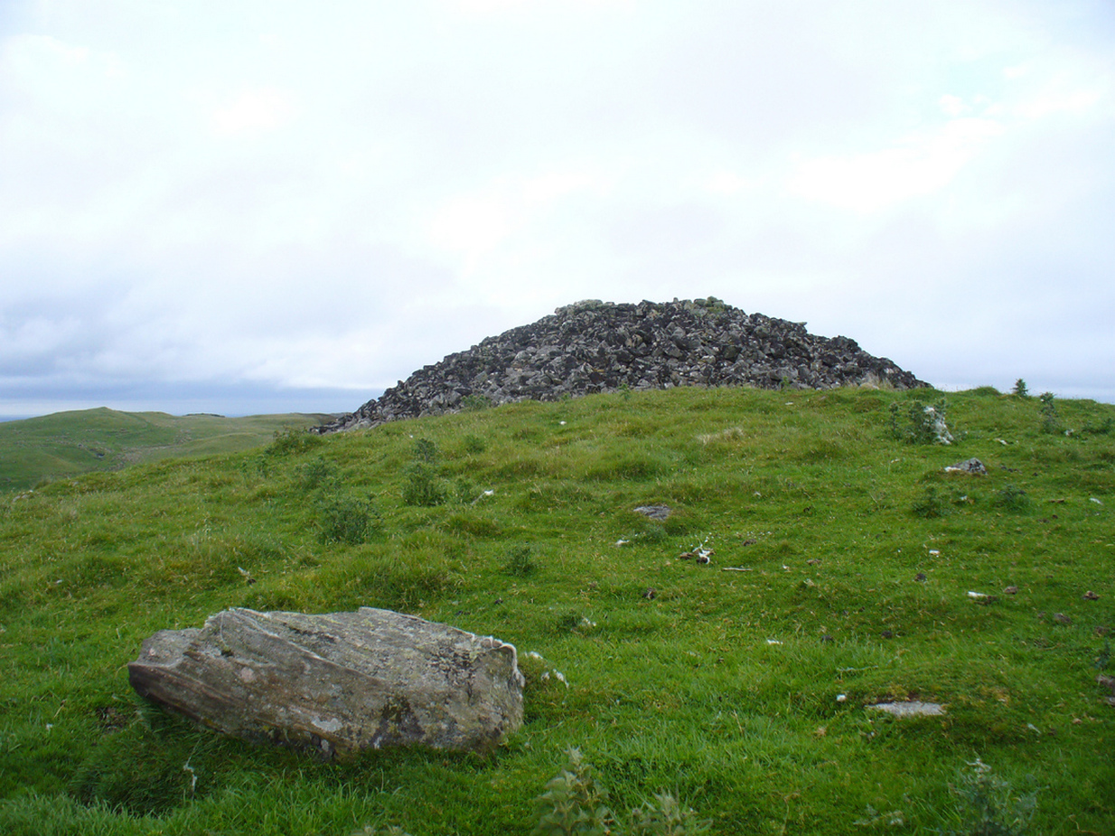
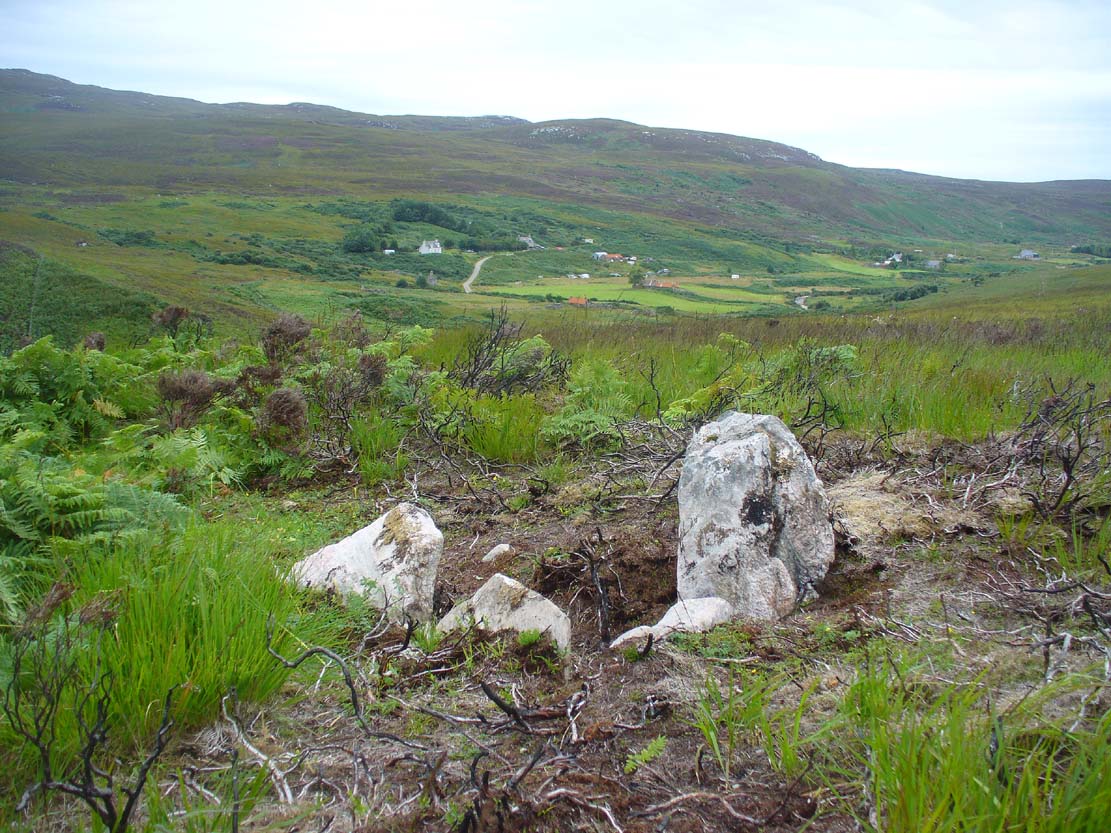
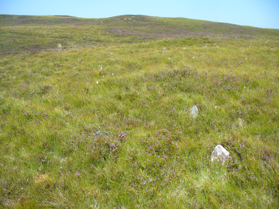
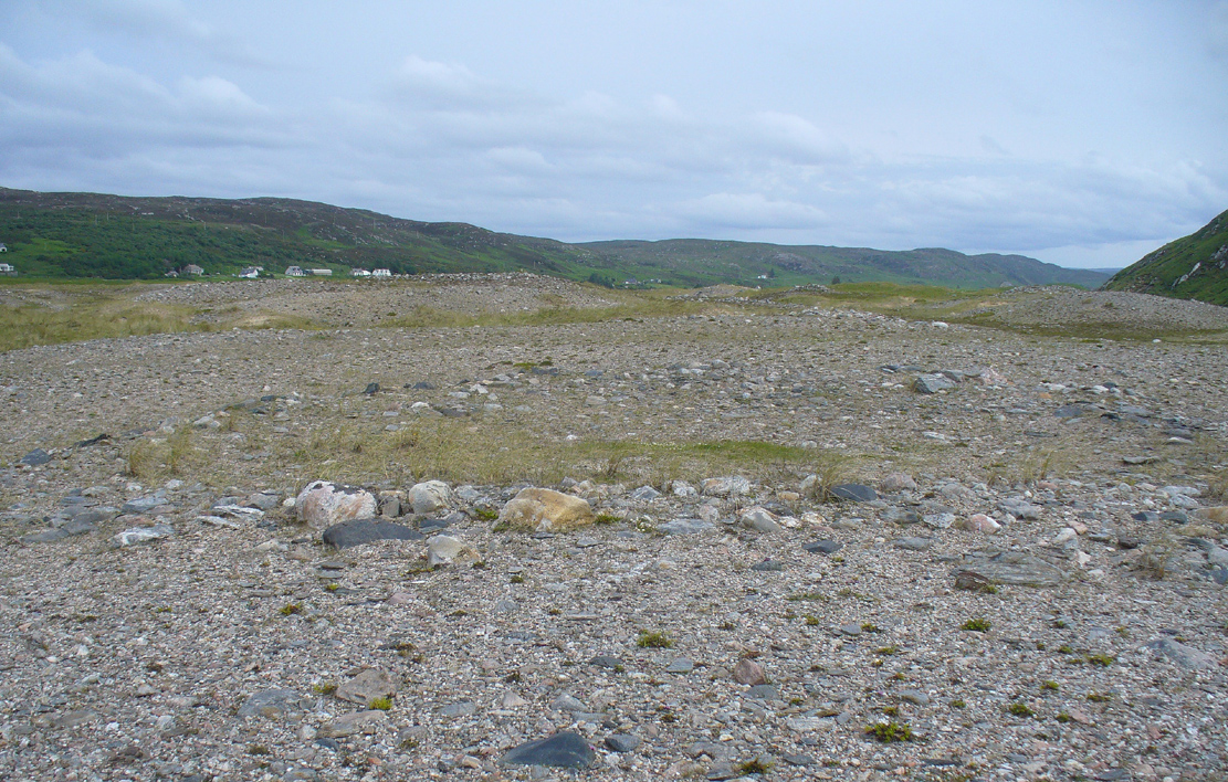
Fiscary 1 cairn – from Fiscary 2
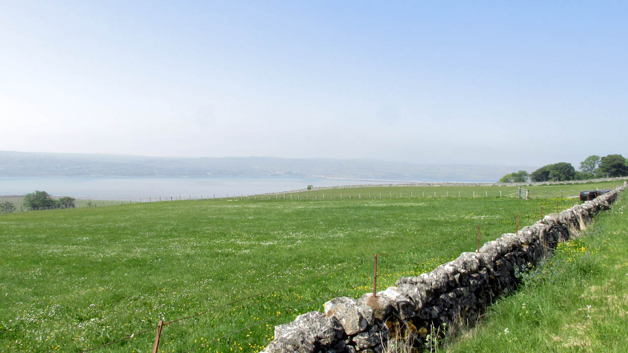
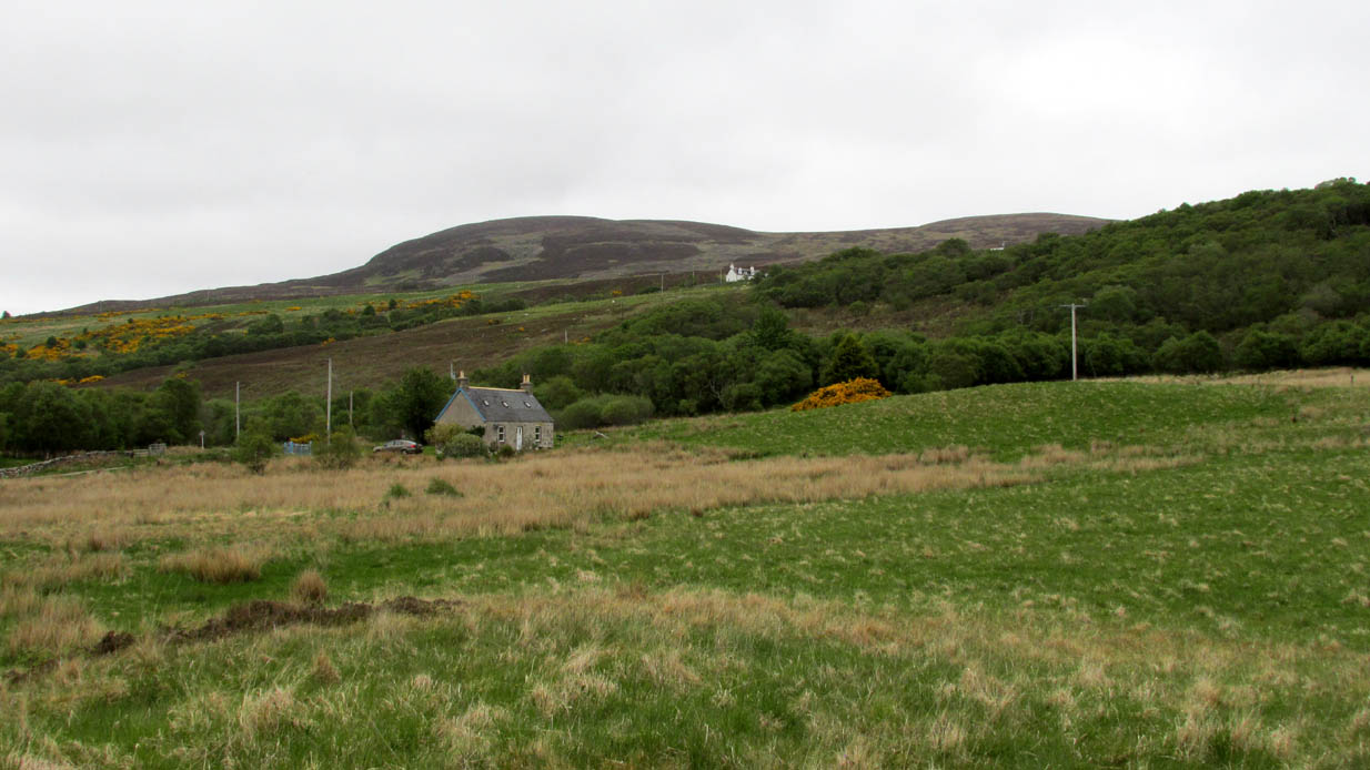
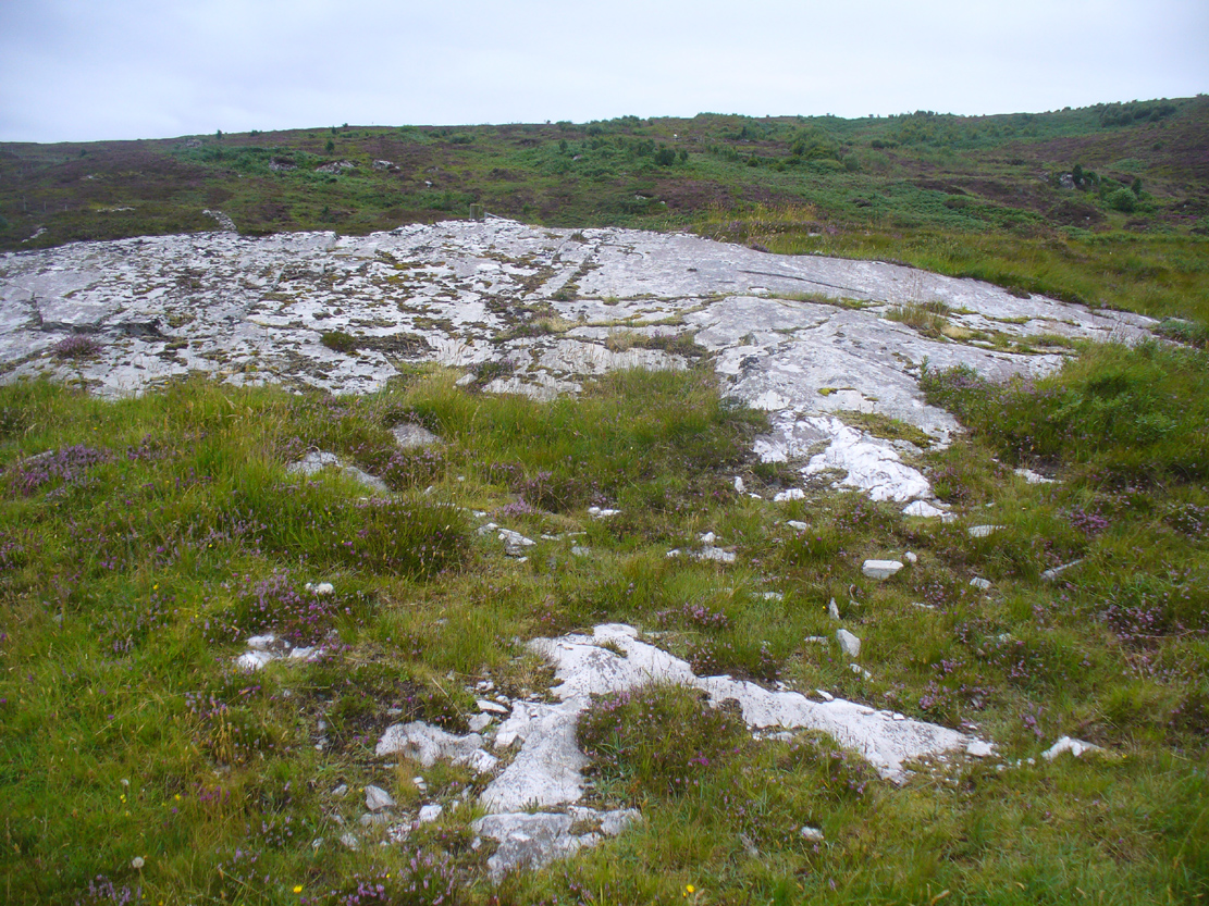
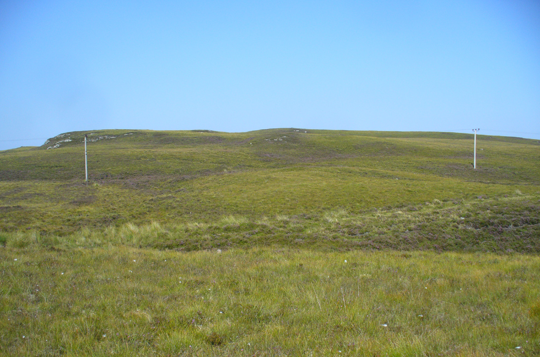
A mile east of Bettyhill on the A836 road, watch for the large piles of rocks up on the hill on your left (north). Go through the gate, past the Fiscary 3 cairn and 150 yards northwest you’ll reach the crowning cairn of Fiscary 2 on the hilltop itself. Fiscary 1 is just a few yards in front of you.
Archaeology & History
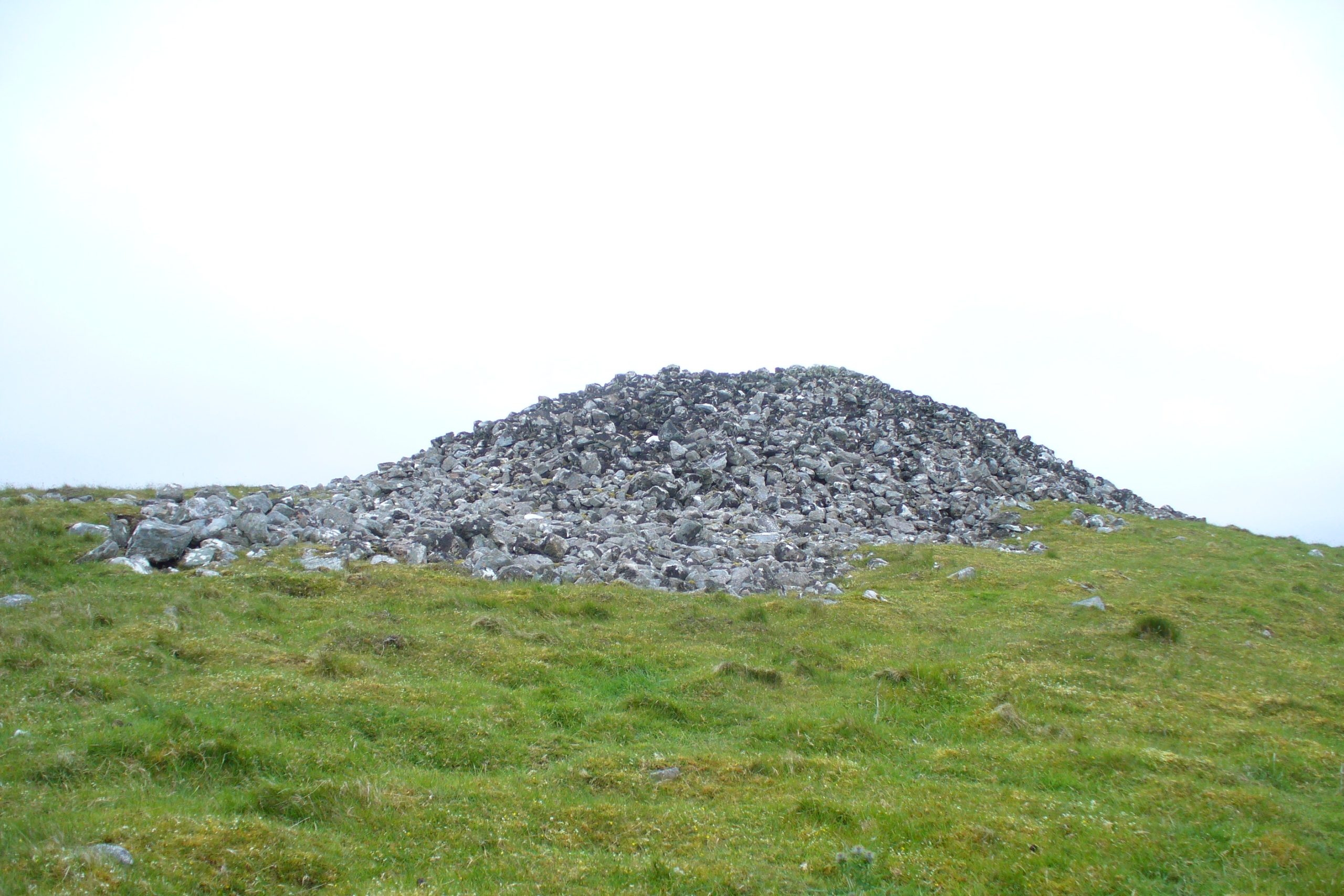
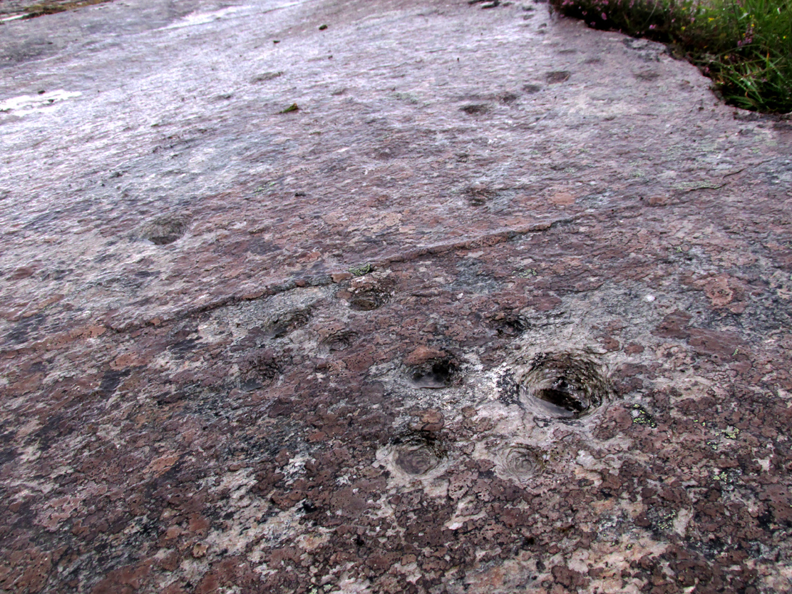
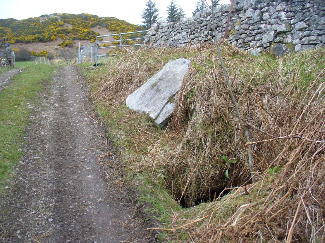
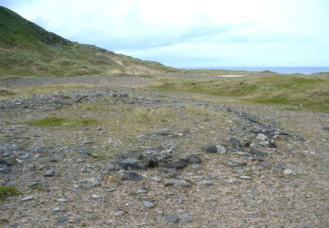
Although this is the smallest of the Fiscary cairns, it is the one that has had been investigated more than the others in this cluster—and you can tell as it’s been dug into. However, saying that, when Aisha and me were here a few weeks ago, the wind was blowing with such strength that we could give it little more than a cursory overview, as we were both getting blown about like a pair o’ puffters in the gale that was raging in from the sea! Twas quite overwhelming…
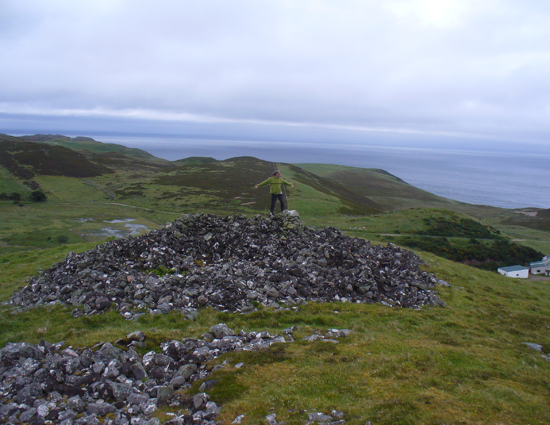
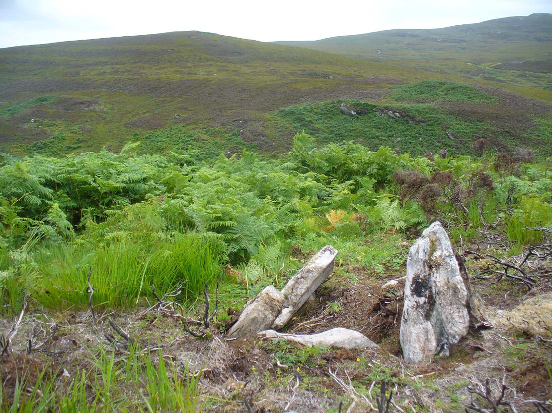
Fiscary 1 to the rear
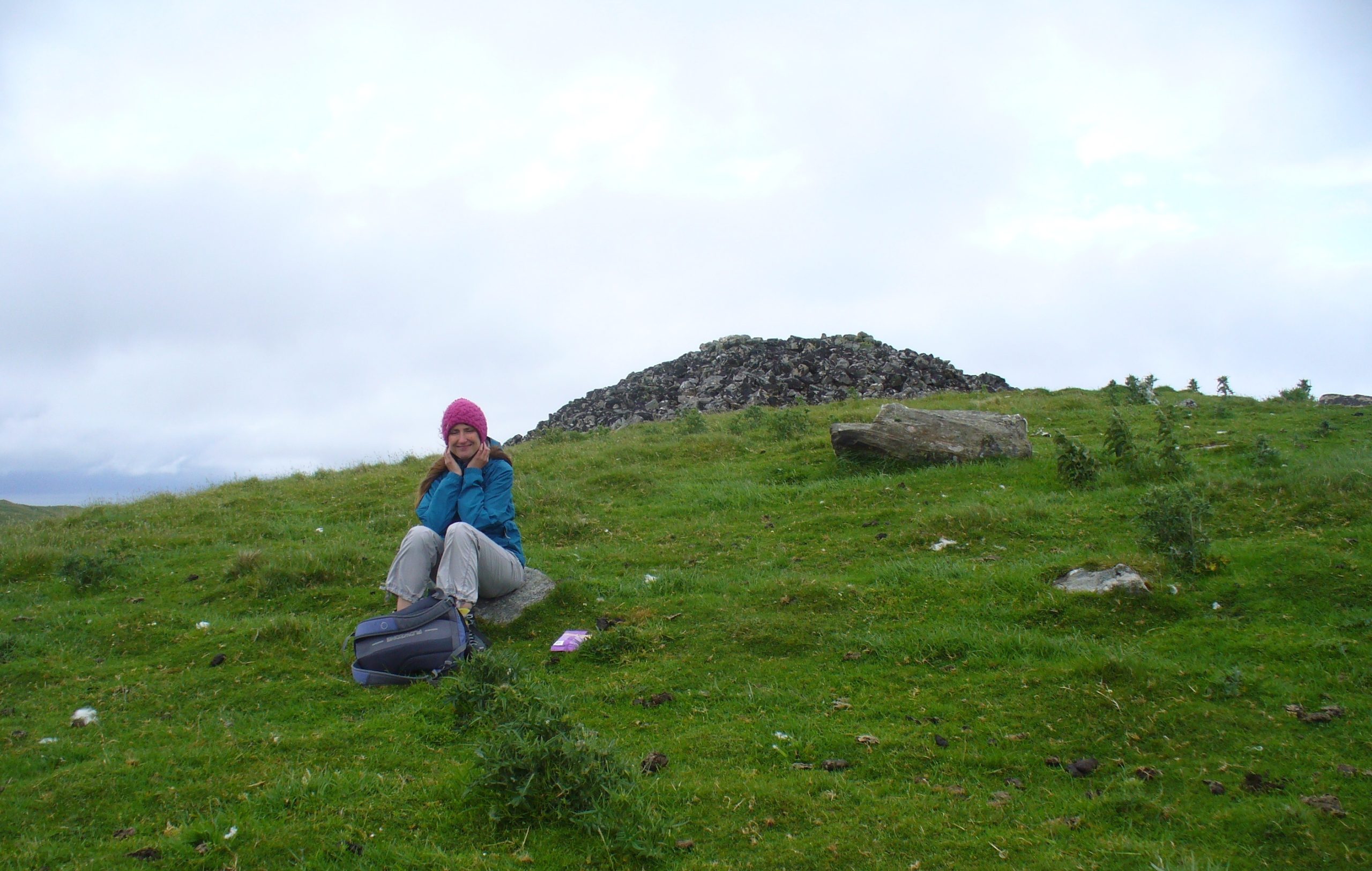
One of the first things you notice is how this cairn is inextricably linked, both physically and otherwise, to its close partner on the hilltop only yards away: the Fiscary 2 cairn. Fiscary 2 reaches outwards towards where we now stand—slightly below the larger tomb immediately north (the airt of Death itself): almost as if an ancient Queen and Her King were resting still hand-in-hand in their respective burial sites.

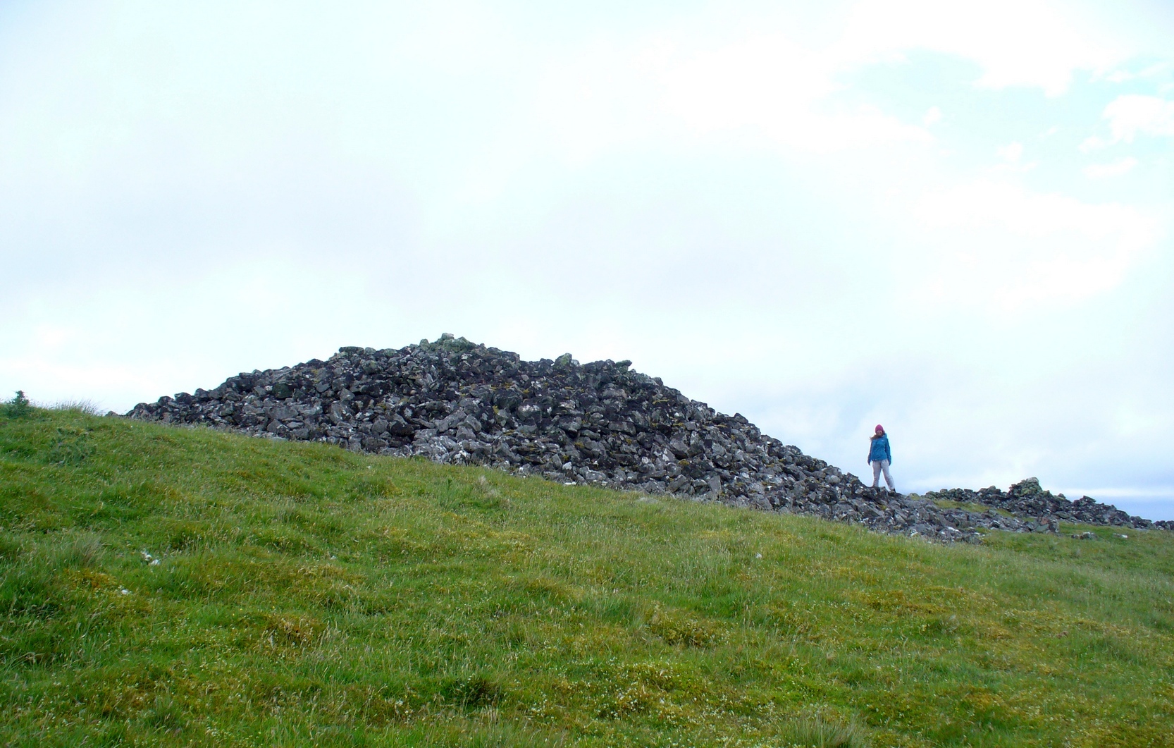
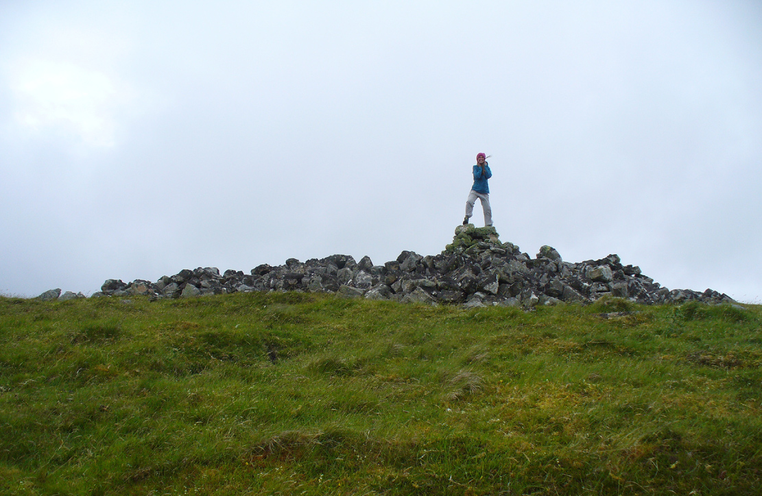
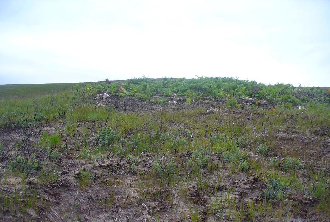
Aisha on top!
…And although such romance may seem nothing more than that, recall that we are probably looking at two giant archaic monuments whose birth emerged in the neolithic: when time was measured by night, not day; when the Moon was Prima Mater’s aide and portender; and patriarchy had yet to be borne…. Giant hilltop cairns were the places of our ancient shaman-kings, queens and tribal elders, whose integral relationship with the cycles of the world to which we are (still) bound, were culturally very different in some fundamental ways, before rites of passage were disposed of…. But I’m moving away from the modern history of the Fiscary tomb…. Soz!
Around the time when some of the indigenous northerners up here were seeing the fading lights of their animistic cosmology disappear into the emergence of ‘history’, when the traditional tales were ebbing, Fiscary 1 was at least being written about—albeit in a detached way, as a museum piece, a piece of architecture. It’s the way things have become. The tomb was excavated by a local man called Cathel Kerr in the latter half of the 19th century, although he reported that it had already been dug into a few years earlier. Kerr told that some of the stones had been taken by an unnamed local for building purposes (not good!). “It had been opened from the top” he said—continuing:
“and there was abundant evidence around the cairn, that large slabs of stone had been removed from the interior. A little observation showed that there was the appearance of an internal chamber… The…cairn is about 150 feet in circumference and about 9 or 10 feet in height, and between it and (Fiscary 2) there is what seems to me to be a neck of stones joining the two cairns… Most of the neck joining the two cairns is covered over with turf, but a very slight observation reveals the fact that underneath it the mass of stones is continuous. The apparent depth of stones is from 3 to 4 feet. It is most unlikely that this neck could have been formed by stones falling from the top of the cairns.
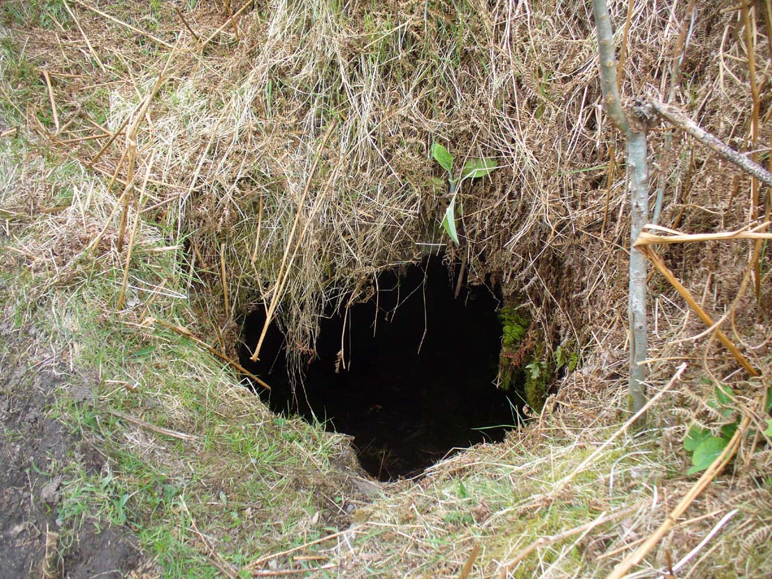
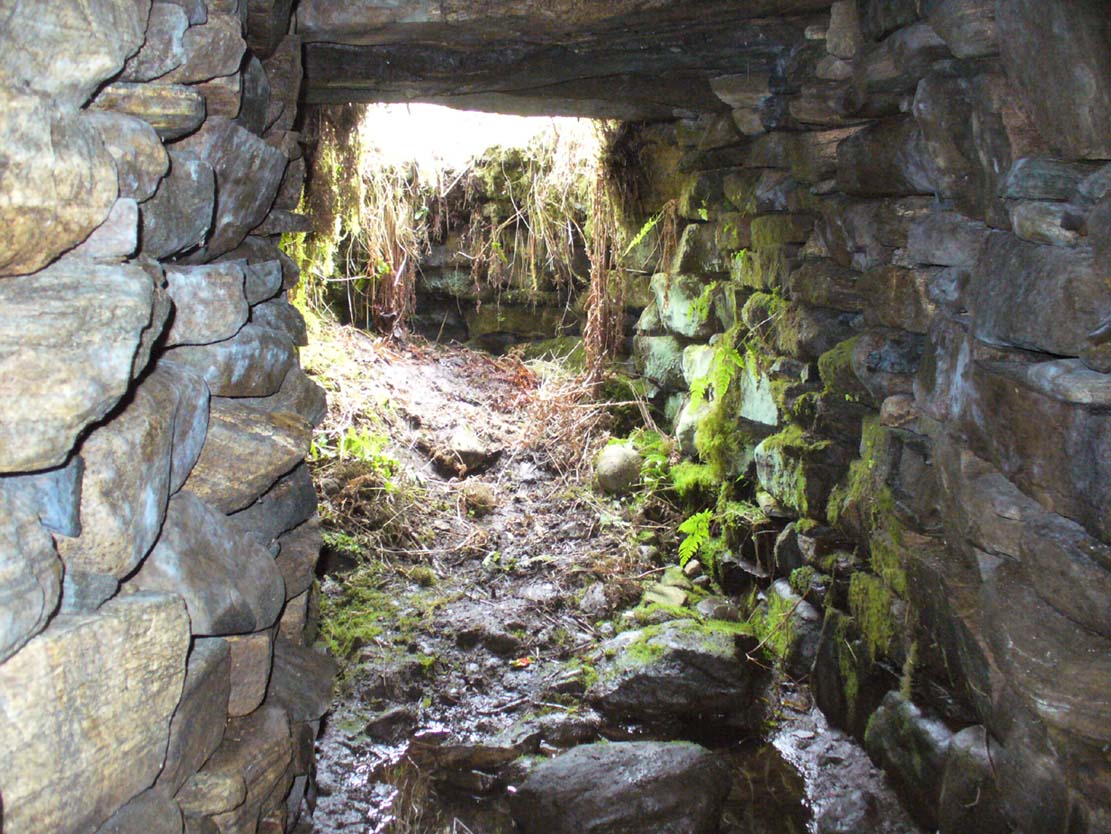
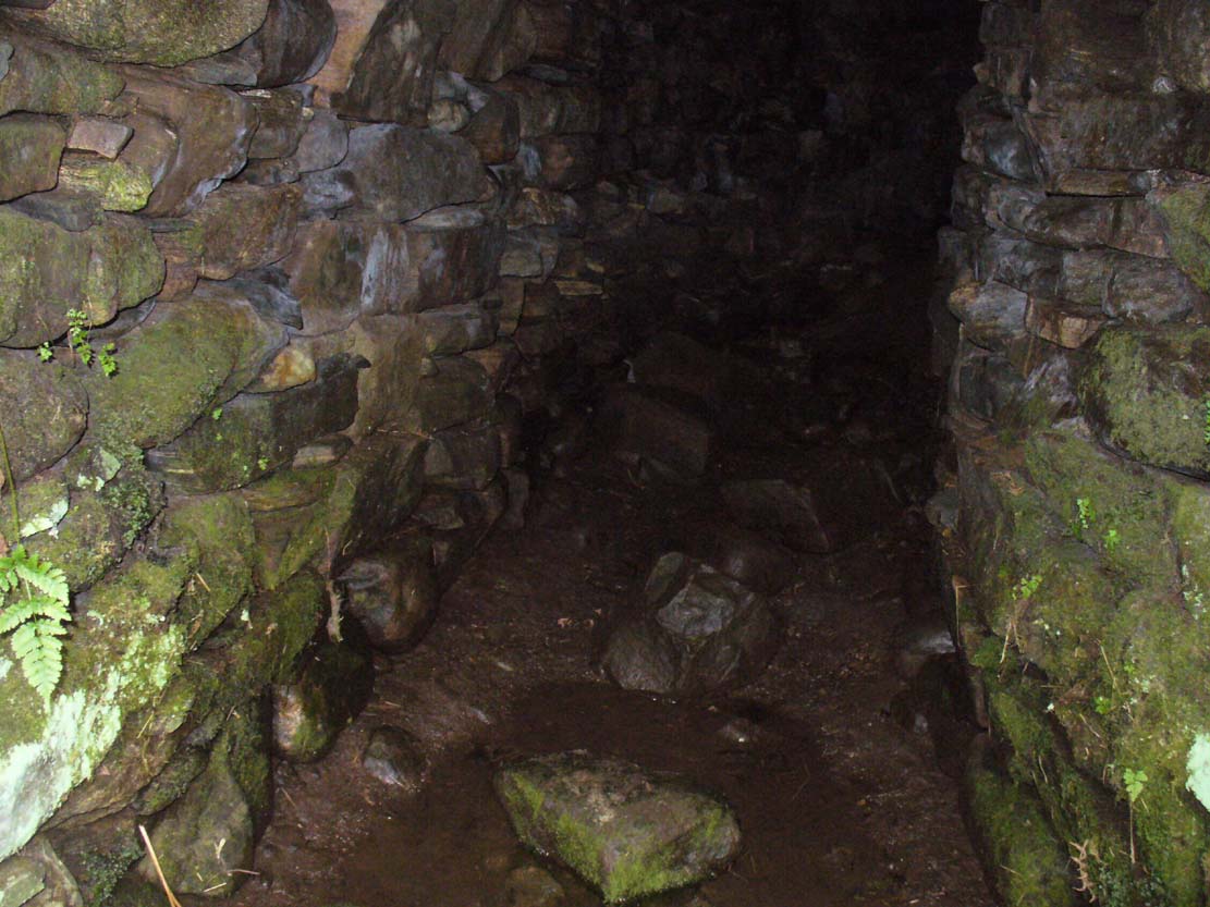
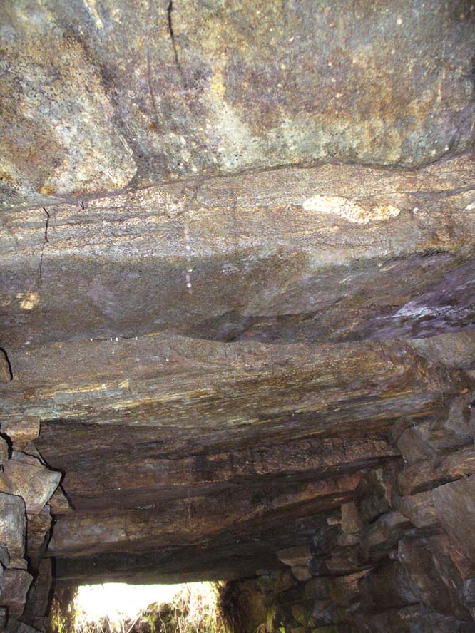
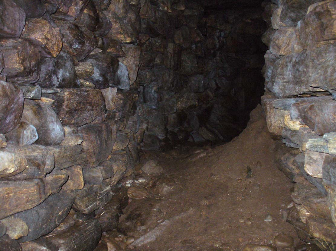
“The chamber, when opened, proved to be tripartite. The entrance is from the west or northwest side, between two upright stones, with a large heavy slab thrown across them. The passage is only 3 or 4 feet long, and about 3 feet high, and nearly the same in width. This leads into a small chamber measuring about 6 feet by 3 feet. In front of it, on the north side, a large upright slab projects, and helps to form part of the end of the inner chamber and a division between the two on the south side. In all likelihood the stone corresponding to that one has been removed, so that there is nothing to mark the division between the chambers on that side. The larger chamber measures 6 feet 4 inches by 7 feet 9 inches. The sides are made up of large upright slabs and masonry, built up between the slabs. The corners are all rounded and there is the appearance of vaulting by the stones overlapping one another. The height of this chamber at present is about 5 feet. The end of the chamber is made up by two upright stones, with nearly 2 feet of an entrance between them, leading into the innermost chamber. This chamber is a very irregular oblong; indeed the ends are rounded. On an average it is 5 feet 9 inches long, by 33 inches wide, and 3 or 4 feet in height. It had the appearance of being covered over with slabs, some of which stood on edge inside; but of this I am not very sure, as the roofing of all the chambers has been interfered with.
“Inside there lay on the floor a large quantity of broken stones and black earth. Underneath there was what seemed a mixture of ashes and earth, with numerous pieces of charred wood, but no charred bones as far as I could see. Underneath that layer there was ordinary gravel. I found some fragments of bones on the innermost part, and some in the larger chamber. They do not appear to me to be of very great antiquity. A small vitrified mass was found on the floor.”
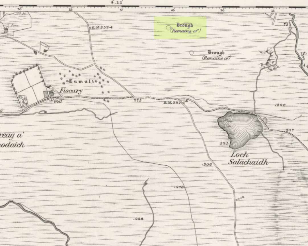
When the Royal Commission (1911) lads turned up to see the site in 1909 they reported—in a rather exaggerated manner—that the cairn “is now completely destroyed” and then in the next sentence said,
“The chamber is half filled-up with debris and only two or three large slabs remain, the others having disappeared. Its diameter has been about 46ft, and its height 4ft to 5ft.”
If the Royal Commission believe that’s an example of something being “completely destroyed”, they should turn their eyes and attention to sites like the Nixon’s Station cairn on top of Ilkley Moor which, when I was young, was larger than any of the Fiscary cairns; but somehow under the watchful eyes of the regional archaeologists in the 1980s and ’90s, was levelled to the ground – i.e., properly destroyed!

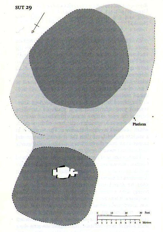
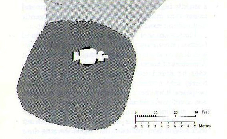
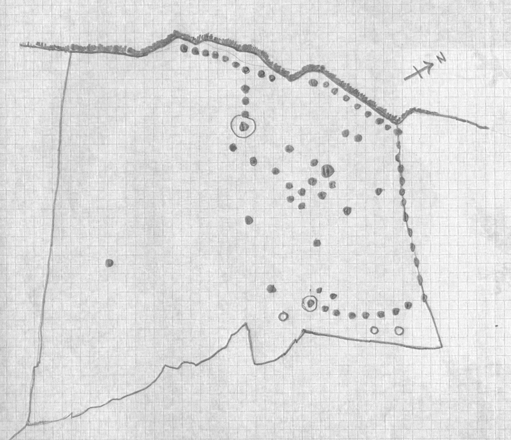
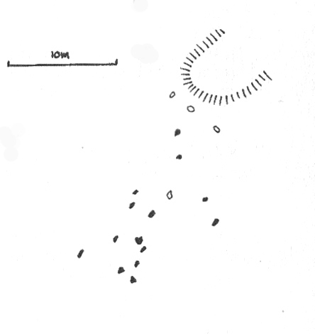
Audrey Henshall’s ground plan
In more recent years the cairn has received the honourable attention of the great Audrey Henshall (1963; 1995) who, in her updated site profile of Fiscary 1, told us not much more about the site than her predecessor Kerr. Contextualizing the place with its partner Fiscary 2 and the platform upon which it rests, she wrote:
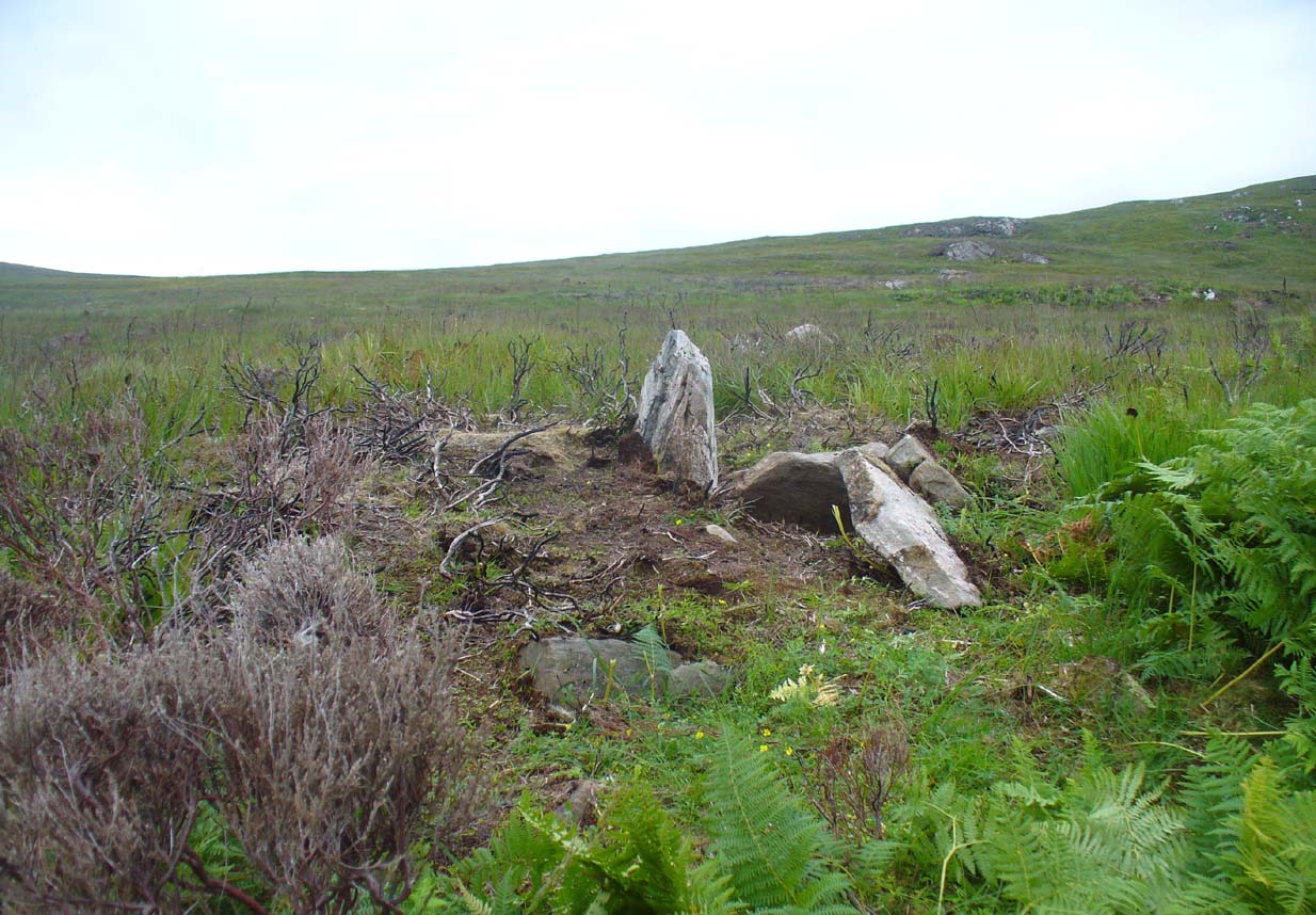
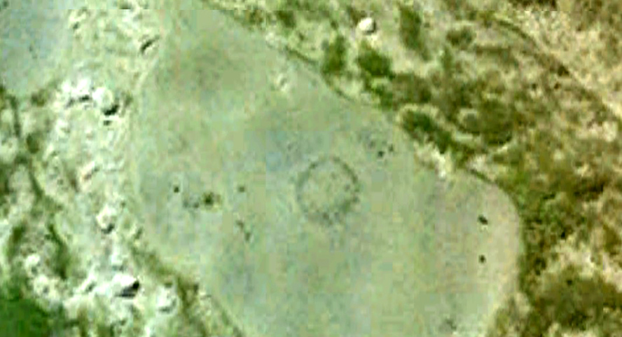
“The paired cairns appear to be independent structures 8.5m apart, though a platform extending beyond the base of the south cairn, which has no internal features exposed, spreads to the base of the north cairn, which contains a ruined chamber… The north cairn is of bare angular stones with turf and heather only encroaching over the edges. Its limits are well-defined and give a roughly square plan with short diameters of 16.5m… Kerr exposed the roofless tripartite chamber, and most of the structure which he recorded was visible in 1955 (Henshall 1963). Less could be seen in 1992 as the chamber had been largely filled by loose stones…”
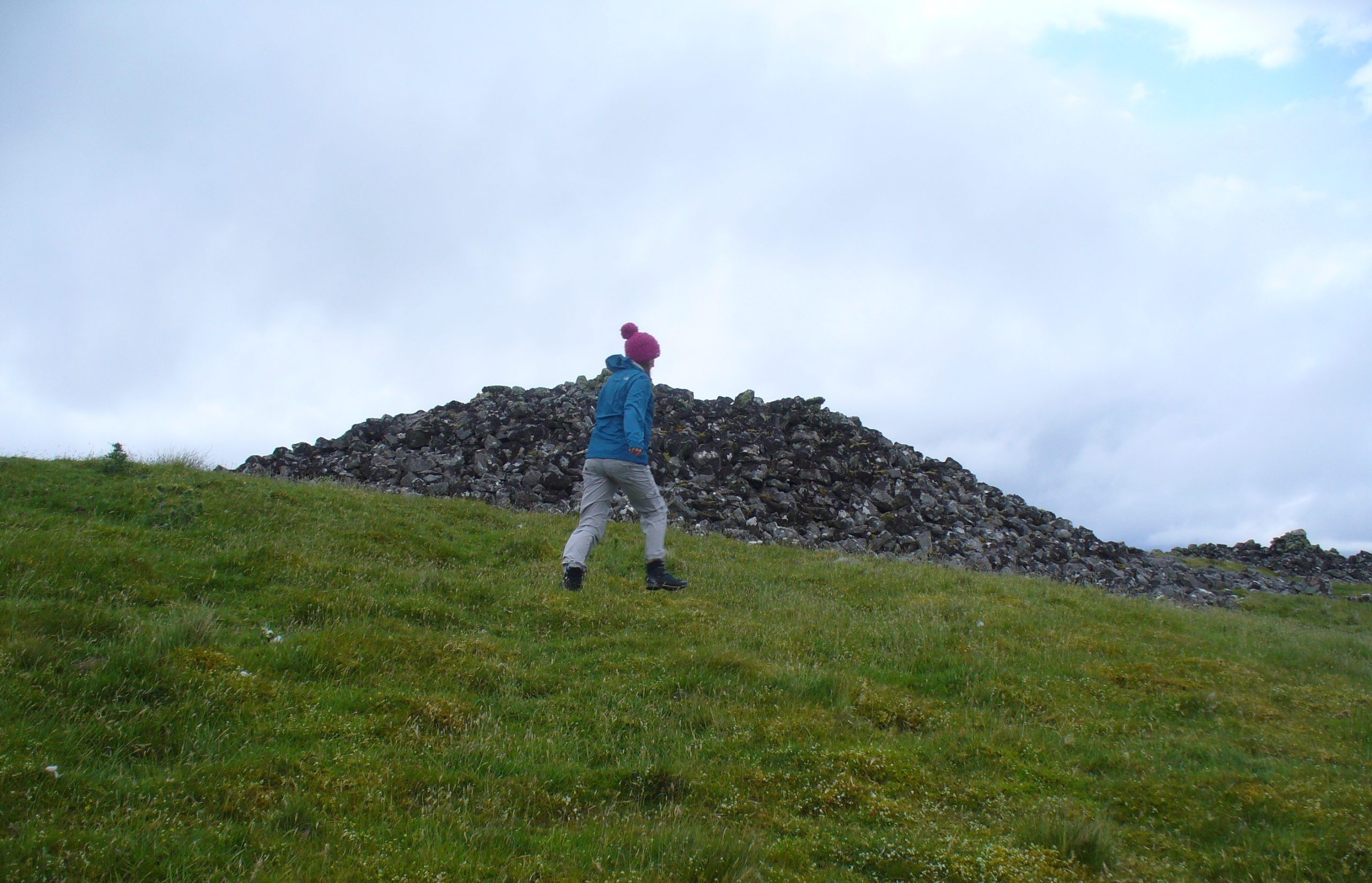
Much like the situation as it is today. More recently a small pile of stones has been added to the top of the cairn, from whence the view is excellent to the north, east and west. The larger Fiscary 2 cairn blocks the view directly south.
Folklore
Otta Swire (1963) not only told that this landscape was once peopled by giants who made the land and played a part in the creation of some of the giant tombs around here. The one time local school-teacher at Bettyhill, Alan Temperley (1977), also told us that the fairy folk lived close to the giant tombs of Fiscary.
References:
- Eliade, Mircea, The Myth of the Eternal Return, RKP: London 1955.
- Gourley, Robert, Sutherland: An Archaeological Guide, Birlinn: Edinburgh 1996.
- Gunn, Adam & Mackay, John, Sutherland and the Reay Country, John Mackay: Glasgow 1893.
- Henshall, Audrey S., The Chambered Tombs of Scotland – volume 1, Edinburgh University Press 1963.
- Henshall, Audrey S., “The Distant Past,” in The Sutherland Book (edited by Donald Omand), Northern Times: Golspie 1991.
- Henshall, Audrey S., The Chambered Cairns of Sutherland, Edinburgh University Press 1995.
- Kerr, Cathel, “Notice of the Excavation of a Chambered Cairn in the Parish of Farr, Sutherlandshire,” in Proceedings Society of Antiquaries, Scotland, volume 26, 1892.
- Lelong, Olivia C., “Writing People into the Landscape: Approaches to the Archaeology of Badenoch and Strathnaver,” University of Glasgow 2002.
- o’ Reilly, Kevin & Crockford, Ashley, What to See Around Bettyhill, privately printed 2009.
- Royal Commission on Ancient & Historical Monuments, Scotland, Second report and inventory of monuments and constructions in the county of Sutherland. HMSO: Edinburgh 1911.
- Sutherland, George, Folk-lore Gleanings and Character Sketches from the Far North, John o’ Groats Journal: Wick 1937.
- Temperley, Alan, Tales of the North Coast, Research Publishing Company: London 1977.
Acknowledgments: Huge thanks to beautiful Aisha Domleo again, for help with some of the photos – and adding your elegant spirit and energy to the place – as well as getting me up here in the first place!
© Paul Bennett, The Northern Antiquarian