Cup-and-Ring Stone (removed): OS Grid Reference – NO 5061 5565
Archaeology & History
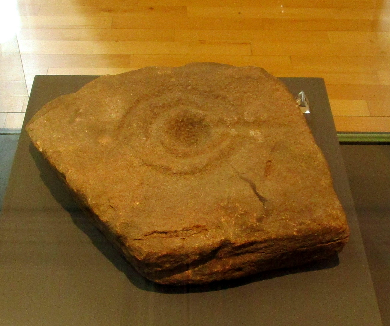
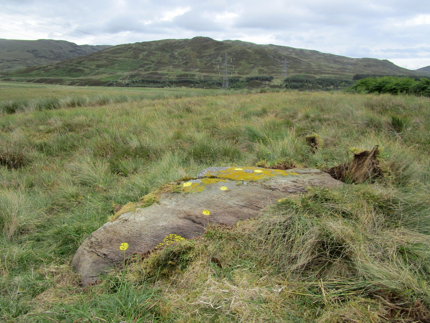
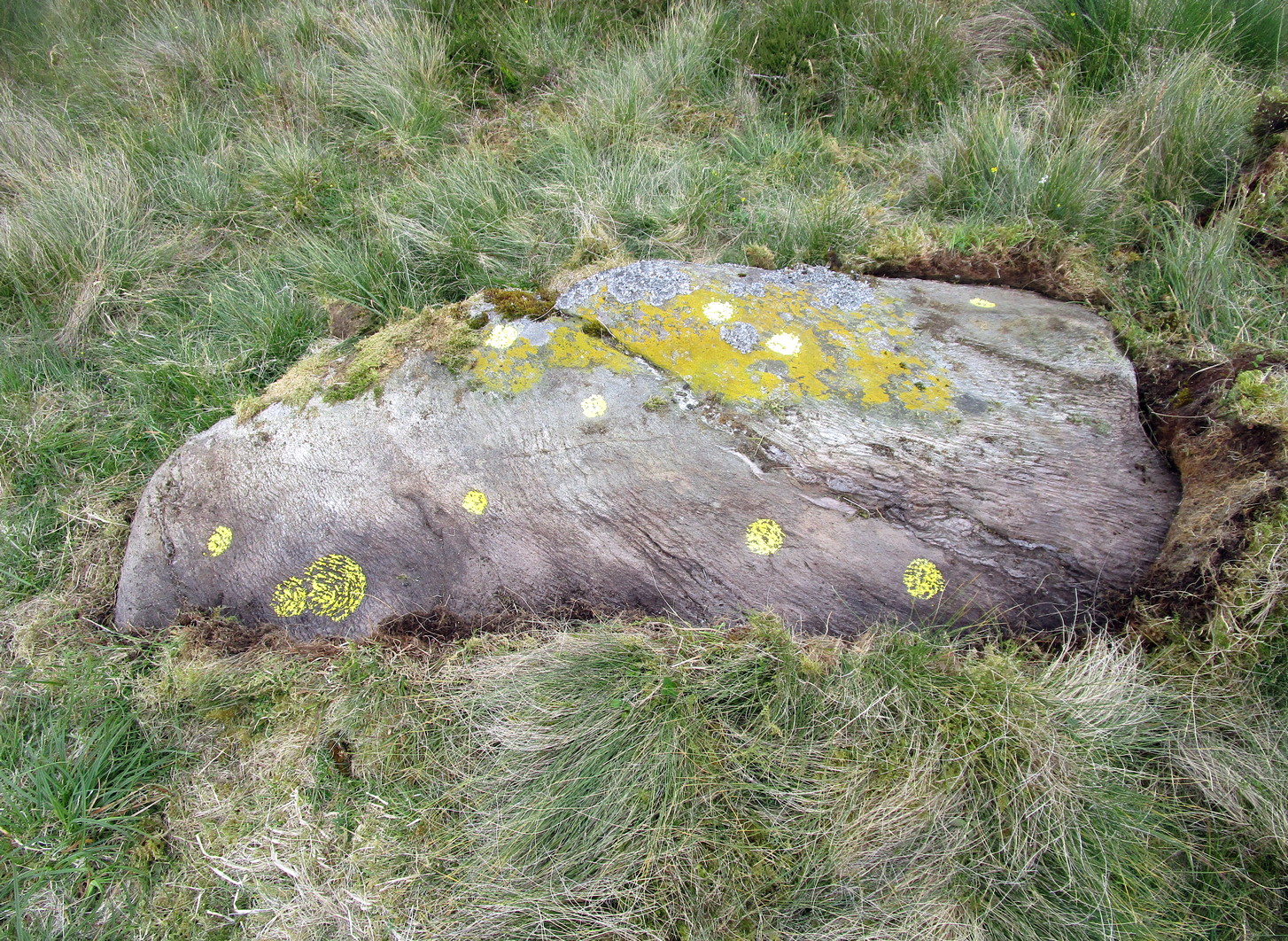
Close to the western walls of the Finavon Iron Age hillfort this small (portable?) cup-and-ring stone was found at ground level in 1987. It was probably knowingly reused in the construction of the hillfort, but whether it was just deemed as an innocuous carving thrown into the mass, or whether it held a place of importance cannot be known.
The primary design consists of a cupmark surrounded by a double-ring, with a line coming out of the central cup towards the edge of the stone. The stone itself—measuring 12 inch by around 10 inch—has been cut from a larger piece, meaning the original design may have been larger. It is now housed in the McManus Museum in Dundee (a damn good place, with very helpful staff).
References:
- Sherriff, John, “Prehistoric Rock-Carving in Angus,” in Tayside & Fife Archaeological Journal, volume 1, 1995.
- Zealand, A., “Fanavon (Oathlaw Parish): Cup-and-Ring Stone,” in Discovery Excavation Scotland, CSA: Edinburgh 1988.
© Paul Bennett, The Northern Antiquarian