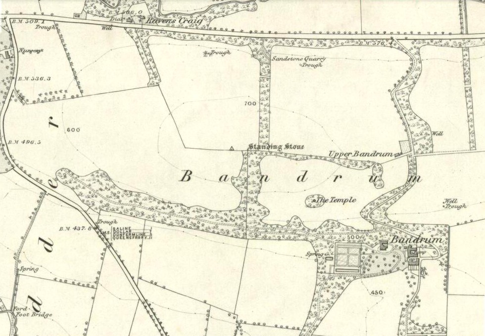
Standing Stones: OS Grid Reference – NN 82446 15893
Also Known as:
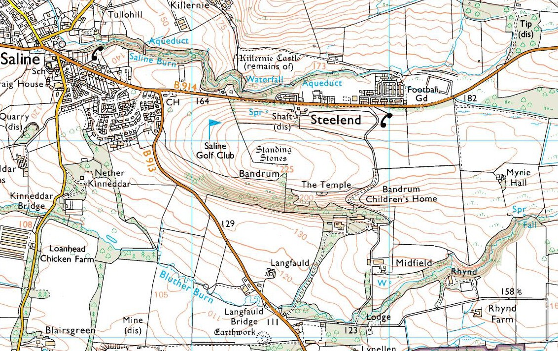
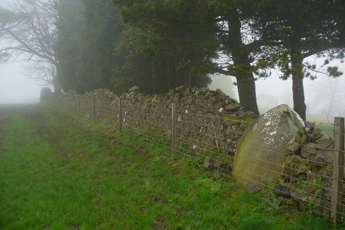
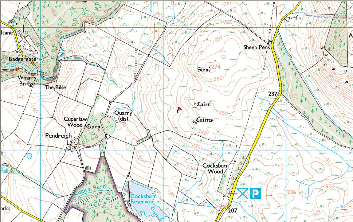
Getting Here
Along the A822 road between Crieff and Muthill, take the small western country lane just as you’re coming out of Muthill. Nearly 2 miles on, take the turn to the right, and then 100 yards or so from there turn sharp left. Keep along this country lane for about a mile till you reach the third track on your left. Walk down the track and you’ll see the standing stones in the field on your left. A gate into the field is by the house.
Archaeology & History
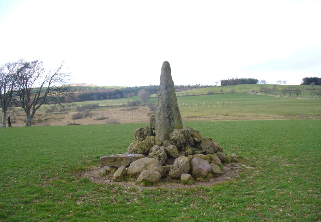
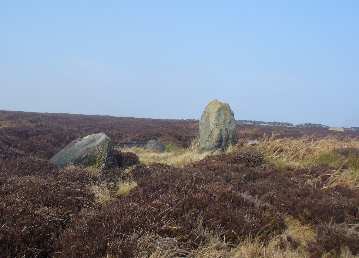
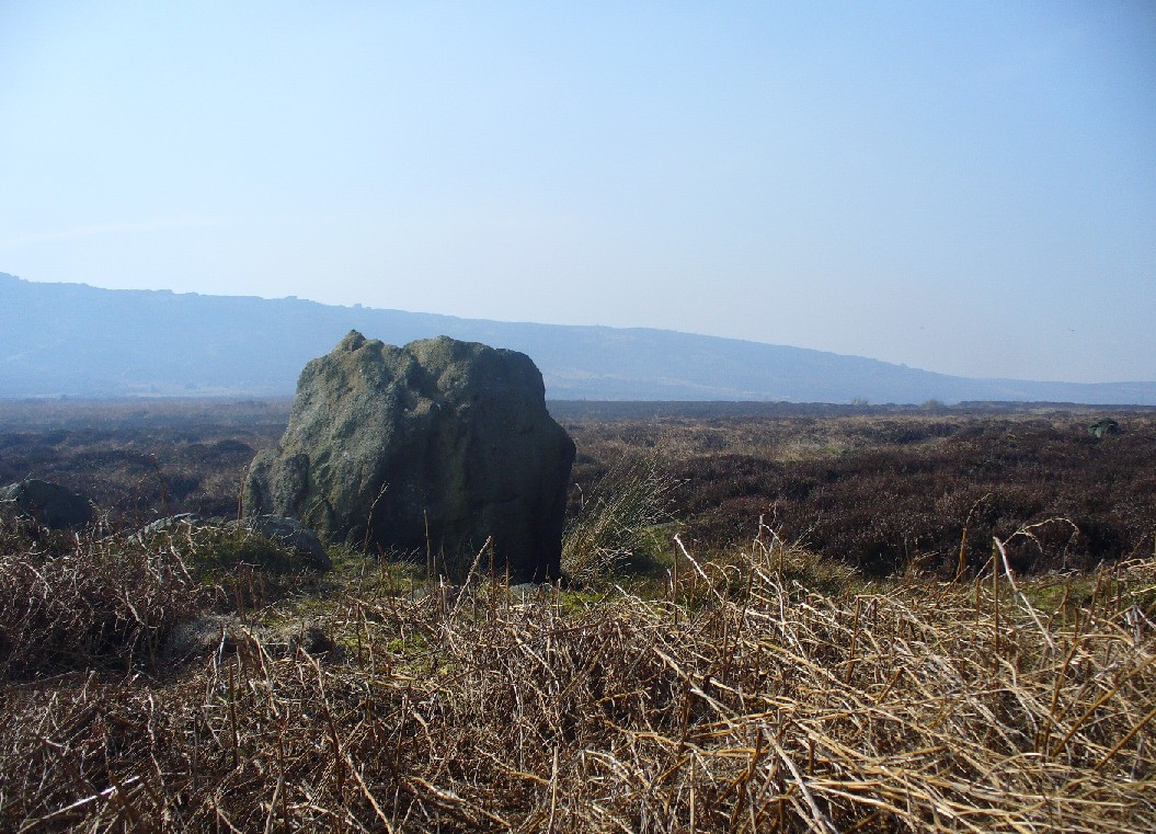
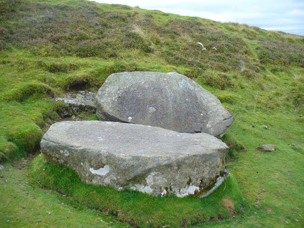
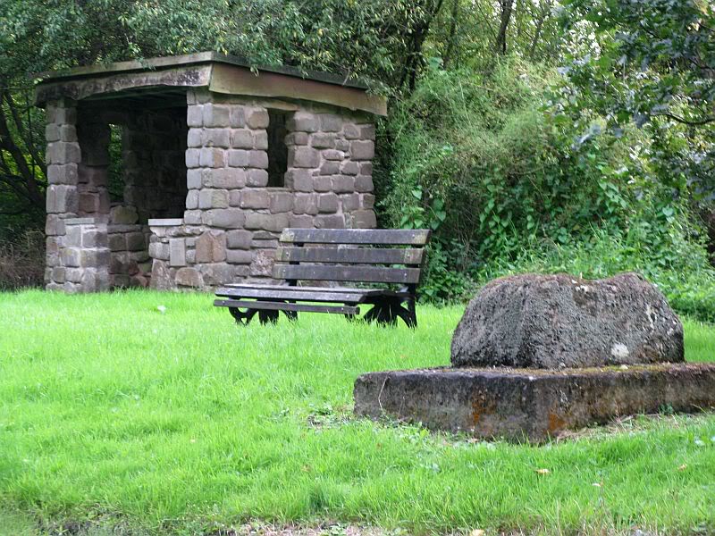
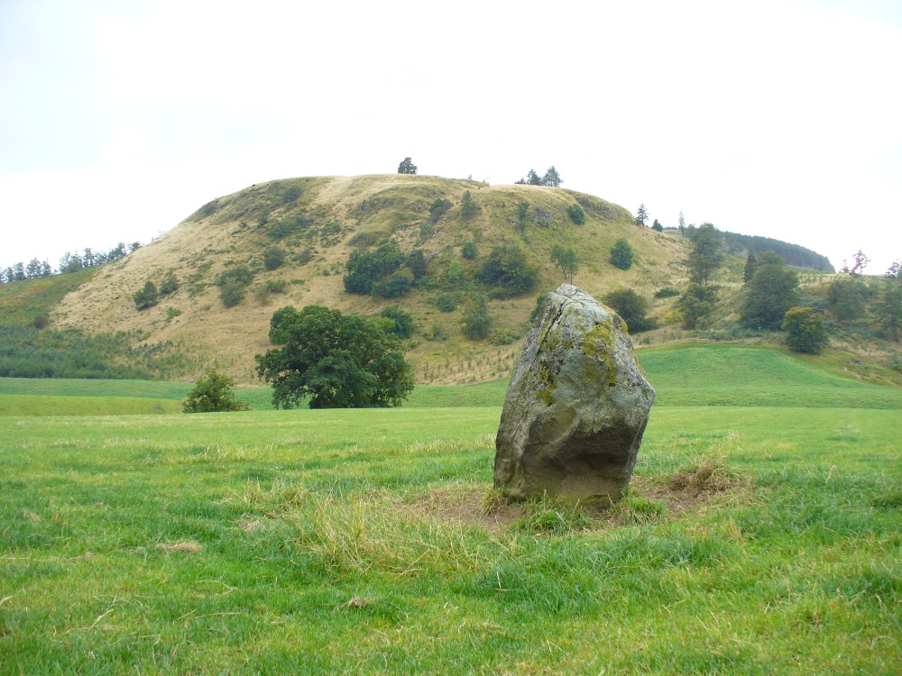
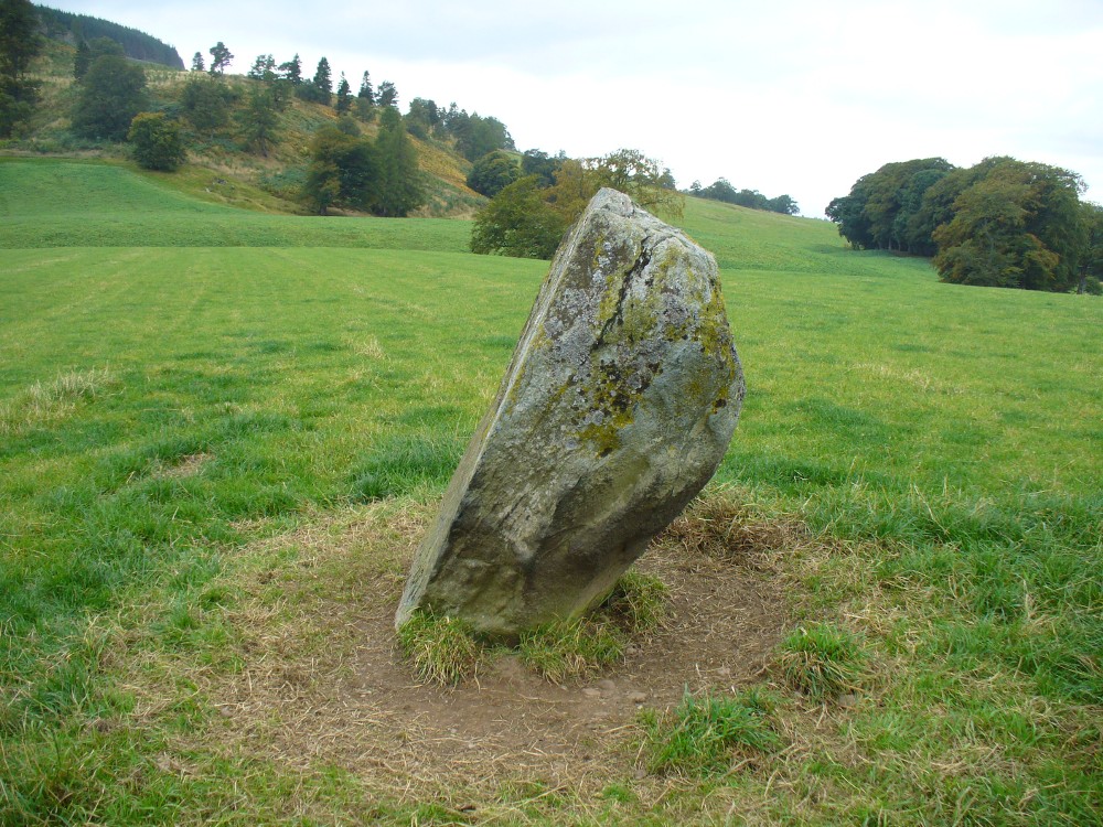
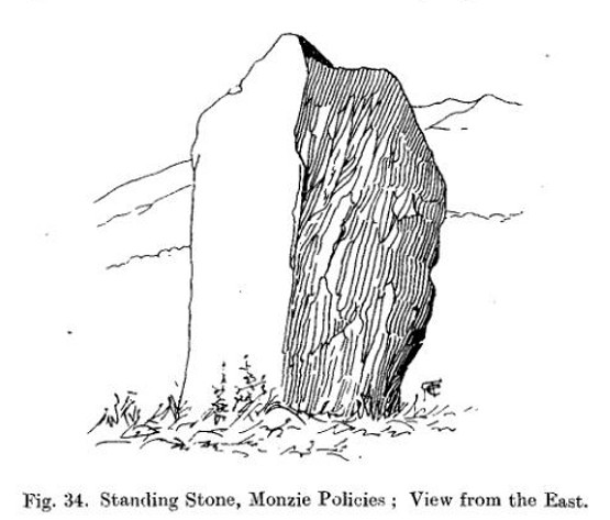
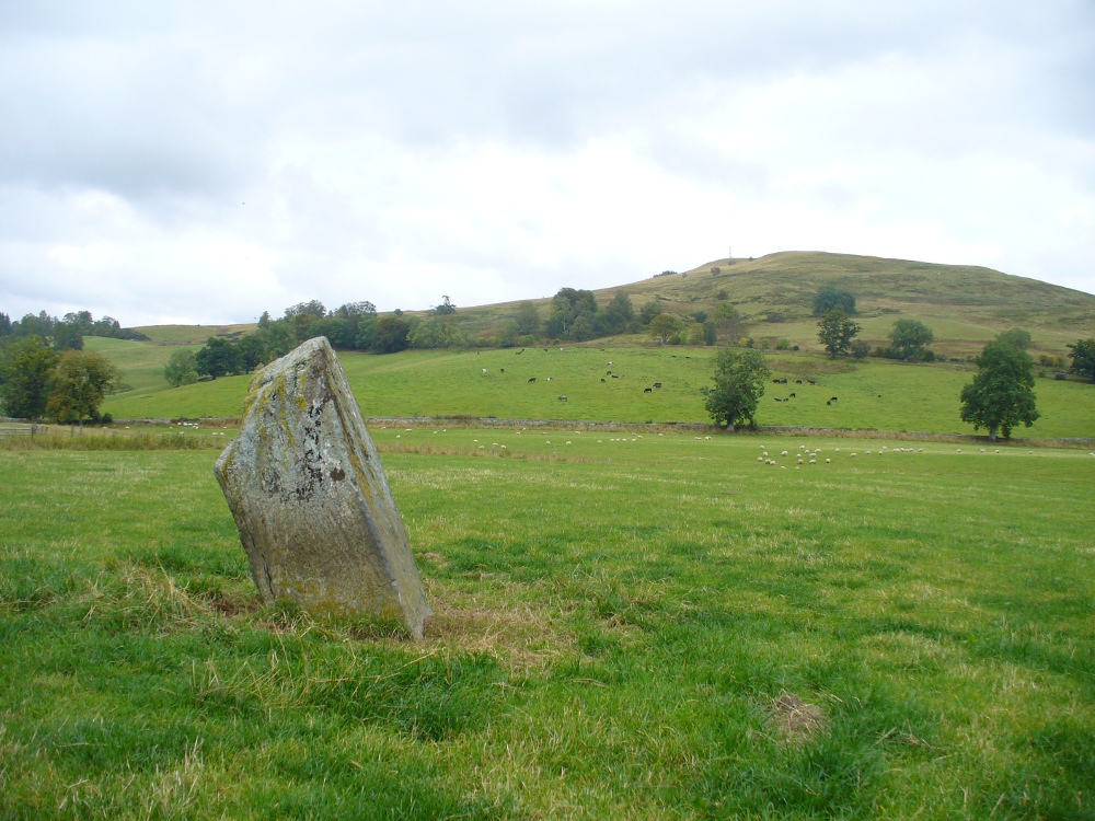
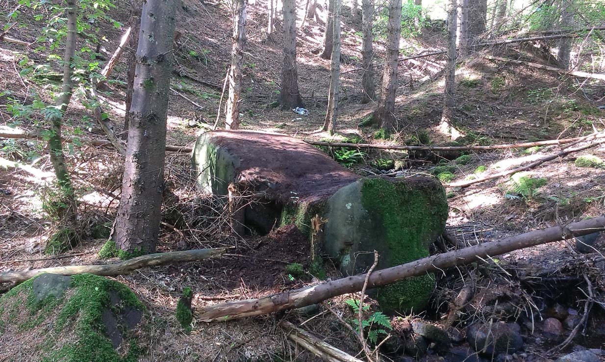
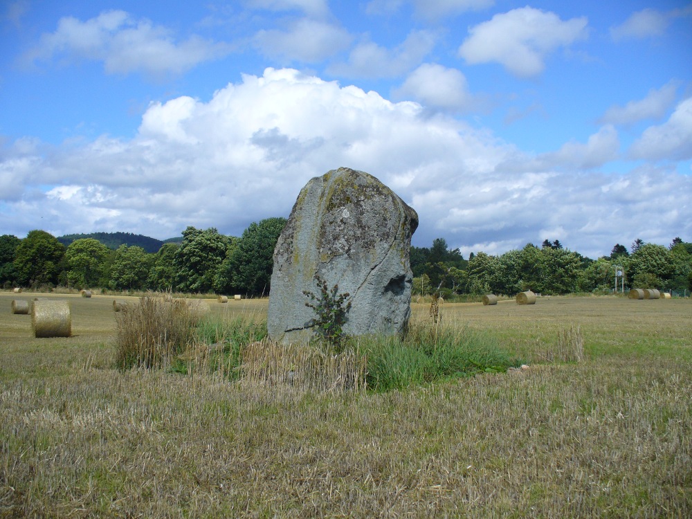
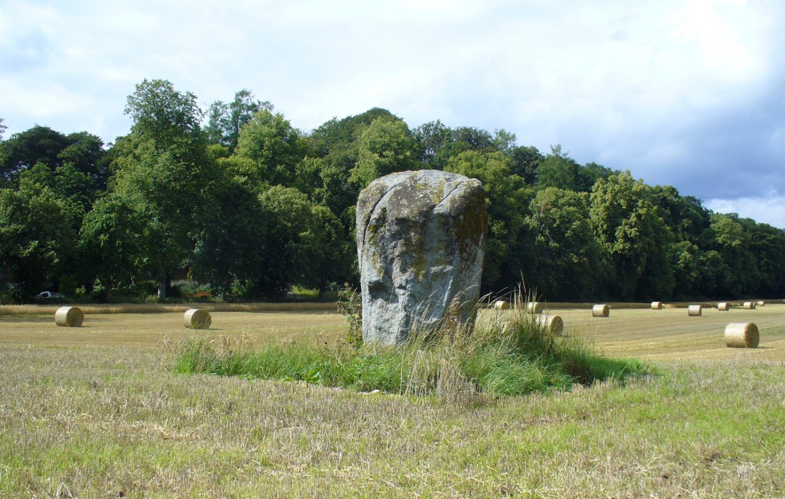
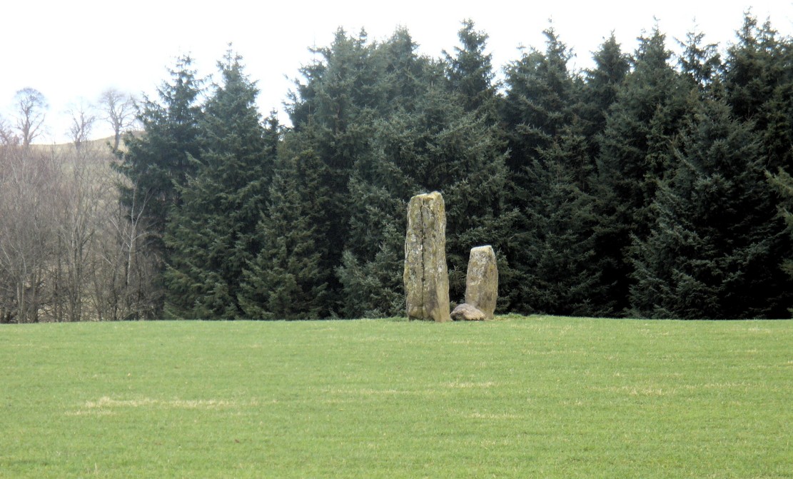
A fascinating pair of relatively large standing stones 317 yards (289.5m) SSE of the tall singular monolith of Dalchira North in the adjacent field. Traditionally said to have once been part of s stone circle, it was marked as such when the Ordnance Survey lads came here in 1863, but there is very little evidence of such a megalithic ring today—and even the small stone lying in between the two uprights is probably a more recent addition to the site. It certainly wasn’t mentioned by Fred Coles (1911) when he came here, who gave only a brief description of the place.


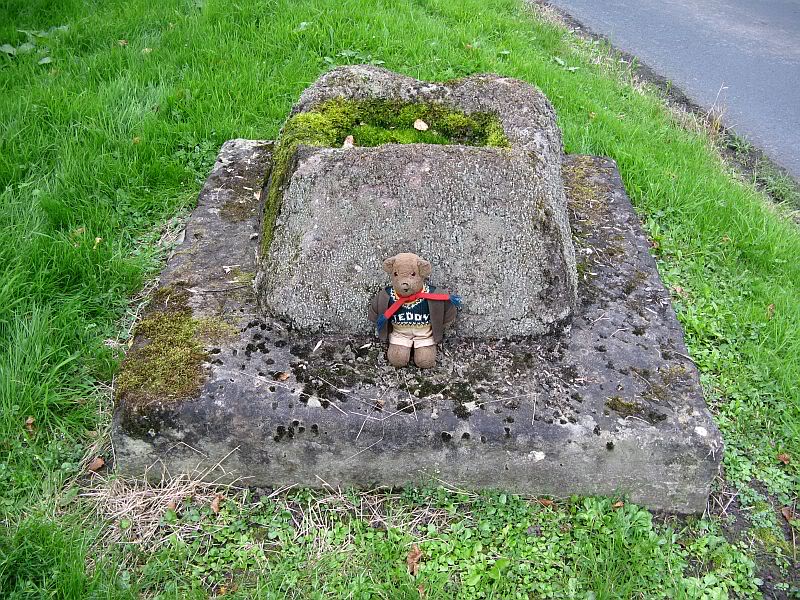
The stones were included in Margaret Stewart’s (1968) list of megalithic pairings as measuring 7ft 6in x 4ft 3in x 2ft and 4ft 3in x 3ft 6in x 1ft respectively, and 8ft apart. There is a small stone laid down in between them which has cup-marks on it, but these indentations are natural nodules in conglomerate rock. But the measurements and angles of Dalchira East were examined by the late great Alexander Thom (1967; 1990) who thought they had been positioned specifically to observe and predict lunar movements across the sky, saying that the alignment of these stones “shows the declination of the Moon rising at the minor standstill.” He may have been right.
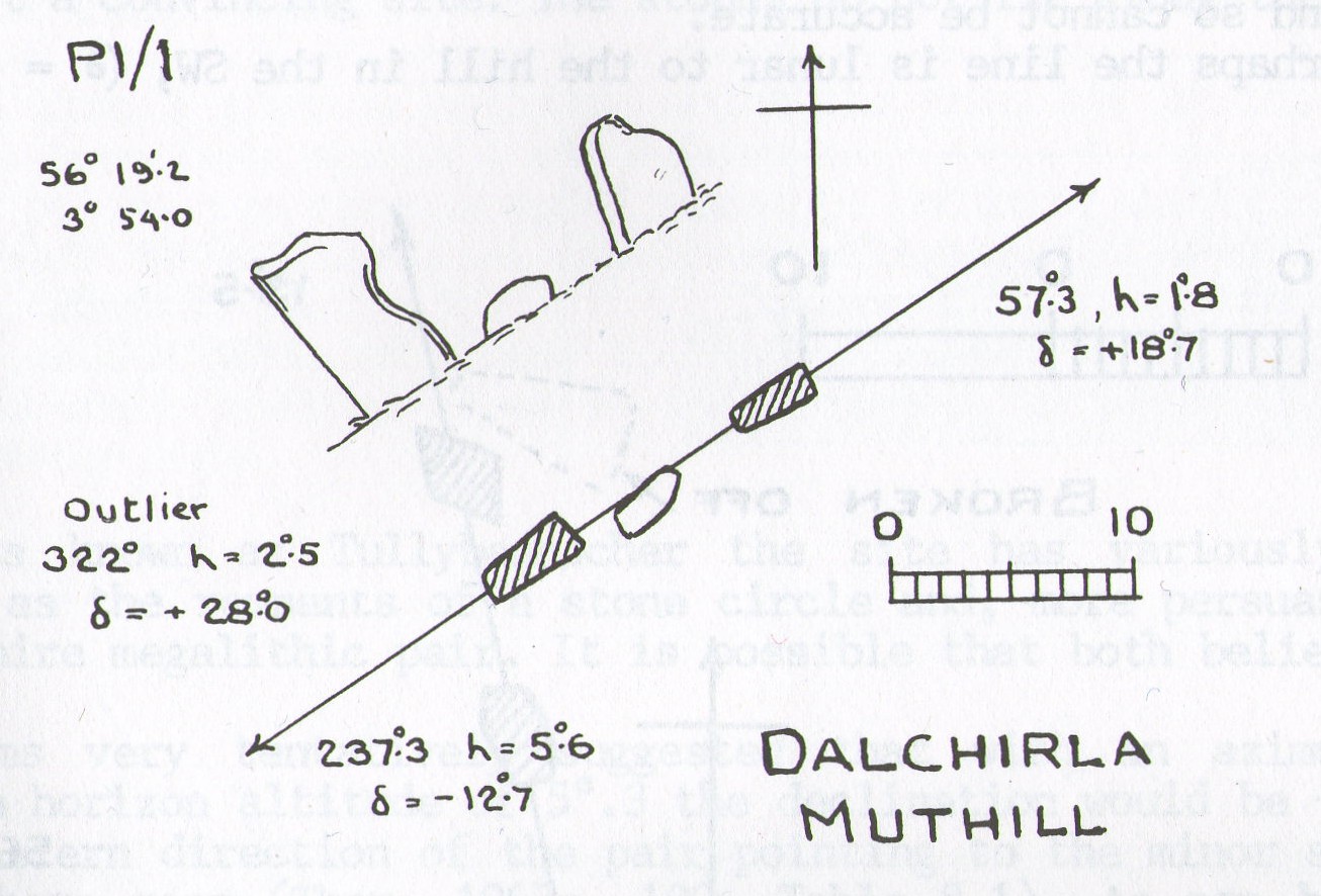
In Aubrey Burl’s notes to Thom (1990) he told that the size and shapes of these stones, “have been interpreted as anthropomorphic, the taller, or alternatively the more pointed , usually at the west, being the male, the lower or flat-topped he female.” He subsequently included this site in his own work on megalithic stone rows (Burl 1993), without further comment.
Tis a peculiar site inasmuch there doesn’t seem to be much ‘feeling’ to the place. I’m sure the site is gonna have its days, but more than likely the neat and tidy farmed theatre has subsumed the genius loci to all but the most auspicious of times—most likely generated when the pull of the Moon still tugs at any geomagnetic background memory… Still, it’s definitely worth looking at.
References:
- Burl, Aubrey, From Carnac to Callanish, Yale University Press 1993.
- Coles, Fred, “Report on Stone Circles Surveyed in Perthshire, Principally Strathearn” in Proceedings of the Society of Antiquaries, Scotland, volume 45, 1911.
- Finlayson, Andrew, The Stones of Strathearn, One Tree Island: Comrie 2010.
- Heggie, Douglas C., Megalithic Science: Ancient Mathematics and Astronomy in Northwest Europe, Thames & Hudson: London 1981.
- Stewart, Margaret E.C., “Excavation of a Setting of Standing Stones at Lundin Farm near Aberfedly, Perthshire,” in Proceedings of the Society of Antiquaries, Scotland, volume 98, 1966.
- Thom, Alexander, Megalithic Sites in Britain, Oxford University Press 1967.
- Thom, A., Thom, A.S. & Burl, Aubrey, Stone Rows and Standing Stones – 2 volumes, BAR: Oxford 1990.
© Paul Bennett, The Northern Antiquarian