Standing Stone: OS Grid Reference – NN 85918 20054
Also Known as:

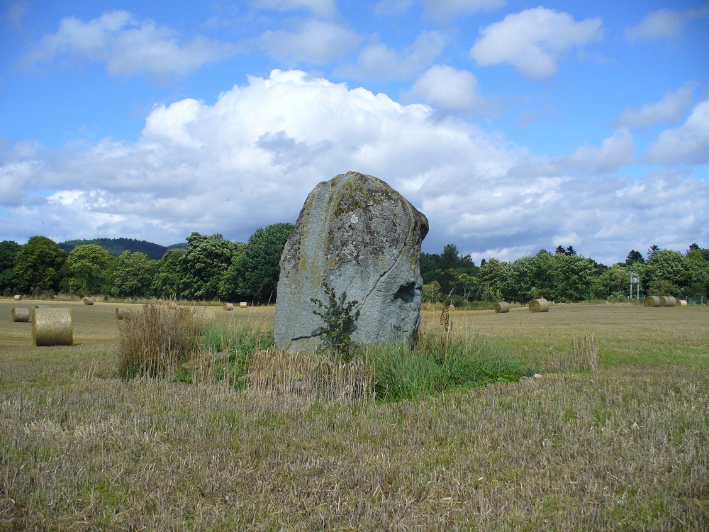
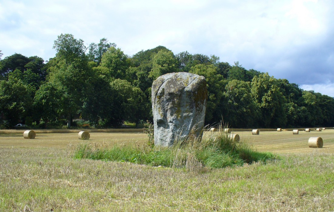
Take the A822 straight road south out of Crieff and as you pass the garden centre on your right and the fields and trees begin either side of the road, you need to watch out in the field on your left-hand side. Just a couple of hundred yards after passing beyond the garden centre, stop. Look in the field there and you’ll see the object in question. You can’t really miss him!
Archaeology & History
As you approach or leave Crieff along the A822 you can easily pass this stone by. Which would be a pity, as it’s quite a giant standing alone just above the slight ridge in the field. And in times gone by, not only were there other standing stones here as companions, but a cluster of other prehistoric pits, enclosures and linear markings were all around this very spot. Some of them are visible as faint crop-marks even today, but they remain unexcavated and we are left (presently) in the dark as to their nature.


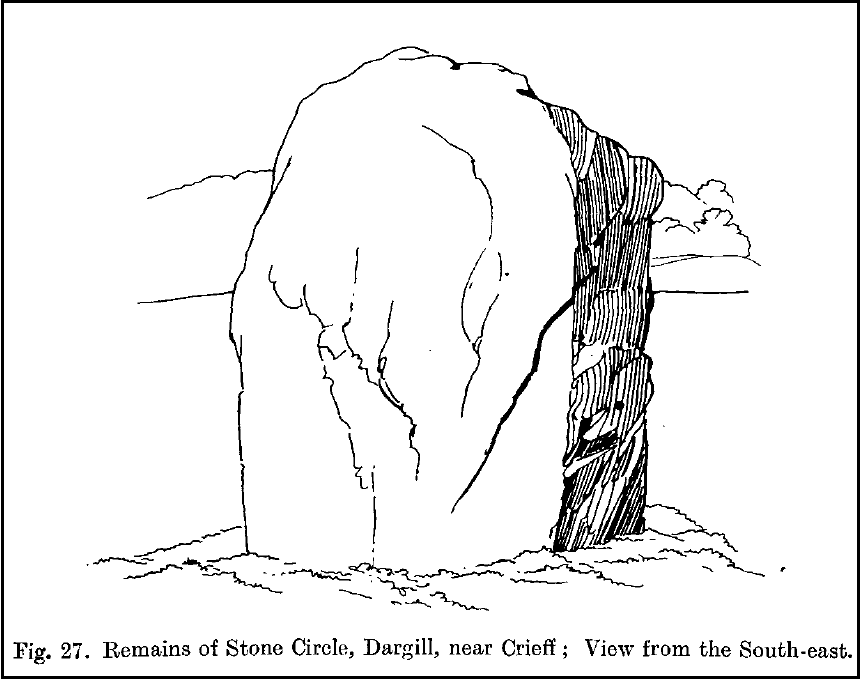
The standing stone itself is a real beauty! A huge fat fella, standing nearly eight feet tall, looking proudly across the field in all directions and gazing into the northern hills, where the wanderer’s eye naturally falls… In earlier years, the great megalithic explorer Fred Coles told of two other stones standing hereby—although they are not noted on the earliest OS-map of the area. Nevertheless he wrote the following:
“This place-name deserves brief notice. It is pronounced by persons in the locality as if it were spelt like the Irish name Dargle, having the stress on the first syllable. The site is in a field between the main road from Crieff to Auchterarder and Dargill Island on the river Earn, at the height of 121 feet above sea-level… There is here an indistinct mound, not now easily traceable, nor of any considerable height; but it is significant to have to report that up to 1909, when a new tenant entered the farm, two other great Stones were standing. These were removed by the newcomer, much to the surprise and indignation (I was told) of the neighbours. The remaining monolith is an unusually square and massive oblong block of schist, girthing over 16 feet, and standing clear of the ground 7 feet 8 inches in height. Its eastern edge is rough and riven into long vertical hollows; but the other sides are, on the whole, smooth. I append a view from the south-east.”
More recently the Dargill stone was described in Andy Finlayson’s (2010) excellent photo-history guide to the megaliths of the region.
Folklore
In recent years this great stone has received the attention of local ley hunter David Cowan, who dowsed here and found ‘earth energies.’ These are in fact water-lines: the primary dowsing response and not related to leys.
References:
- Coles, F.R., “Report on stone circles in Perthshire principally Strathearn,” in Proceedings of the Society of Antiquaries, Scotland, volume 45, 1911.
- Cowan, David, Ley Lines and Earth Energies, Adventures Unlimited 2003.
- Finlayson, Andrew, The Stones of Strathearn, One Tree Island: Comrie 2010.
© Paul Bennett, The Northern Antiquarian