Holy Well: OS Grid Reference – SK 507 180
Getting Here
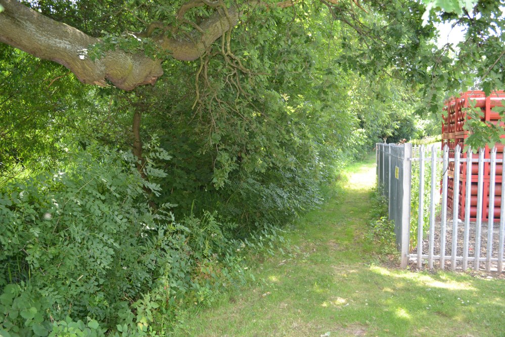
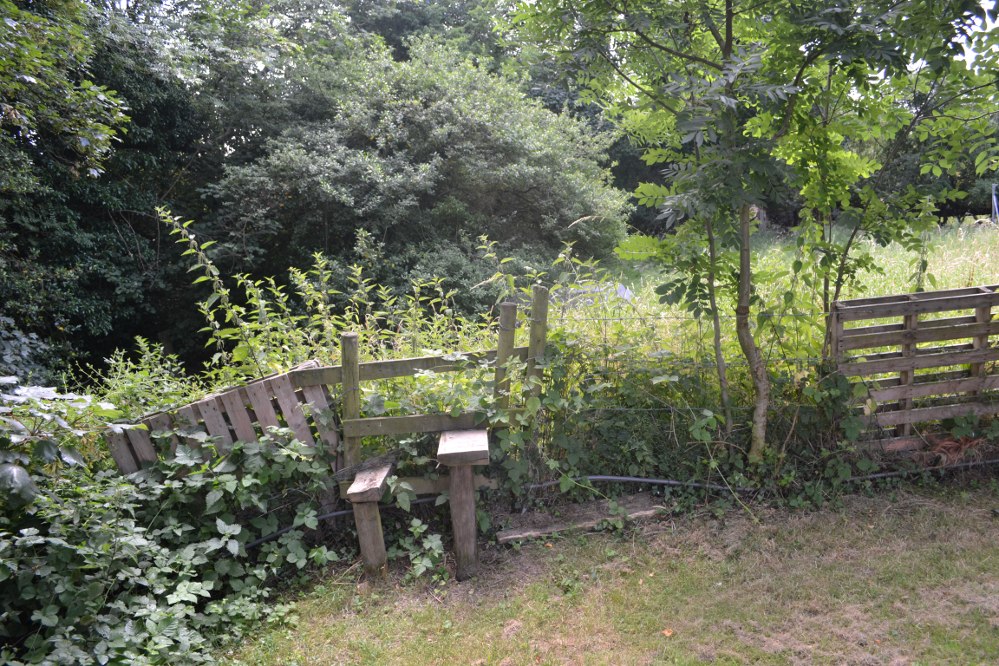
On the outskirts of Loughborough is an area called Holywell, but pronounced ‘holly’. The holy well can be found at the furthest north west part of the park, behind the large Garendon block of the Holywell complex. Here behind some hydrogen cylinders (!) follow the brook on the left until you reach a stile. Climb over this and the well in front of you. It is unclear what the access rights are, but there are no private signs.
Archaeology & History
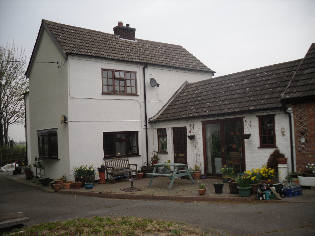
Virtually swallowed up by Loughborough University is the estate of Holywell Haw, the present farmhouse taking its name from a spring nearby. Of the house itself: it probably began life as a hostel for those lost in the most substantial Charnwood Forest, which has since retracted around it. However by 1180, it had become a hermitage owned by Garendon Abbey and is then first noted by the name of ‘Holywell Haw’, the latter word deriving from haw meaning enclosure, the same origin as hawthorn. Potter, in his History and Antiquities of Charnwood Forest (1842), notes it was mentioned in a grant by Robert de Jort to the abbey, with the site being described as heremitorium de Halliwellhaga.
Later, the 13th century Testa de Nevill, records ‘a dairy, with a small wood, called Haliwelle Hawe’, which by the 14th century the Leicester Abbey purchased from a Henry Lord Beaumont “a certain parcel of wood called Holy-well Haw for £28.” It was they who appeared to have developed the area to what can be seen today: fishponds and moats, and probably used the site as a grange and possible a diary. What remains today is mainly 15th century, with fragments of a medieval structure such as gothic doorways and timbers. Whether it was Holywell Haw or Hall is unclear. This discrepancy has been blamed on the Ordnance Survey—and indeed, some blunders have been done by them in the past. However, it is possible that a 19th century owner, March Philips, had some sort of pretensions for the building and thought the name was better. By the 18th century, the name Holywell Dyke was an eighteenth-century boundary mark for Charnwood Forest.
The spring is icy cold and never run dry, and produces—according to Bob Trubshaw (1990)—20,000 galloons a day and is one of the only non-incorporated spring in the Severn Trent catchment classed as A1 Drinkable.
The Site Today…
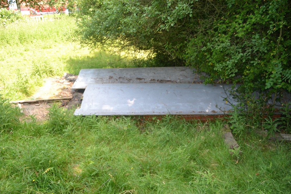
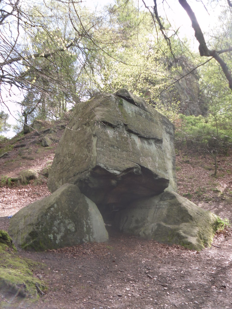
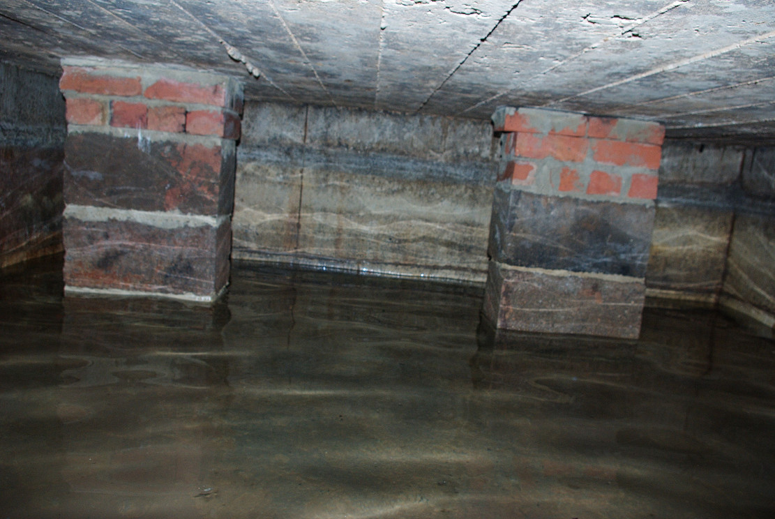
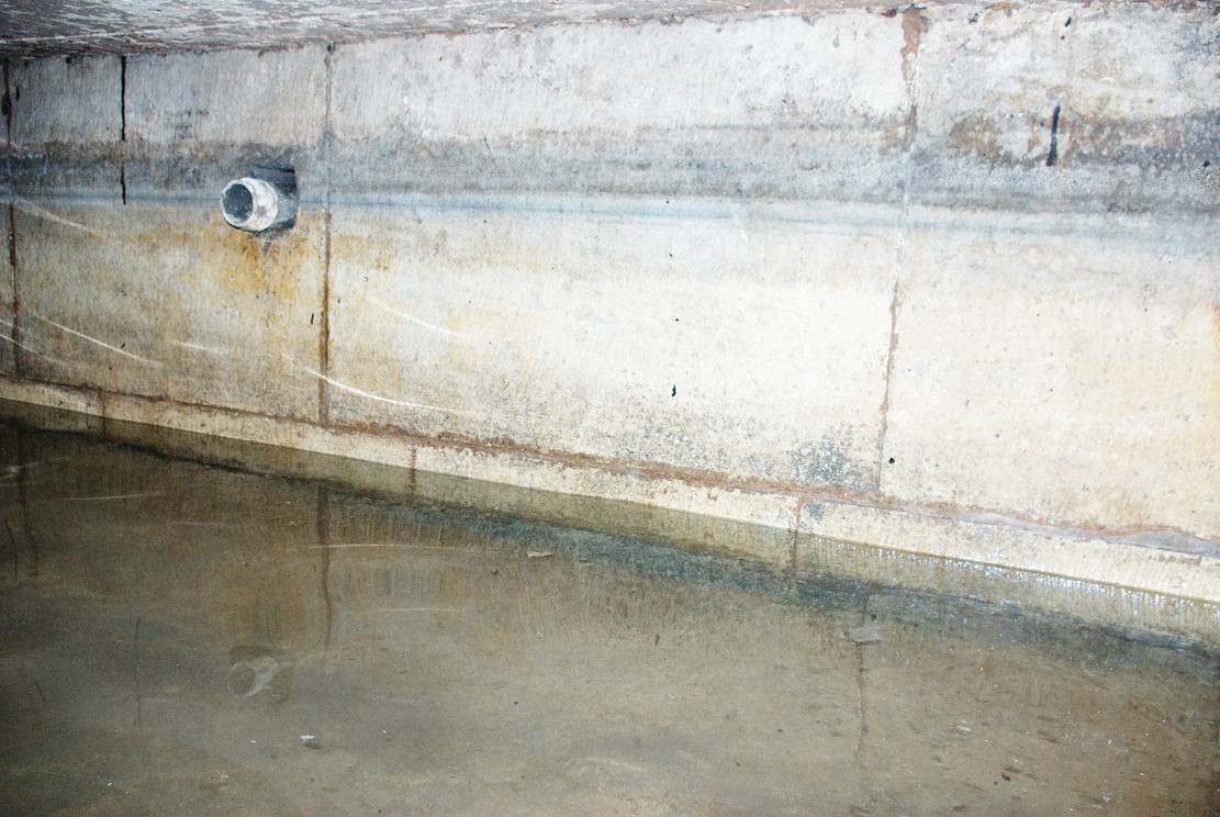
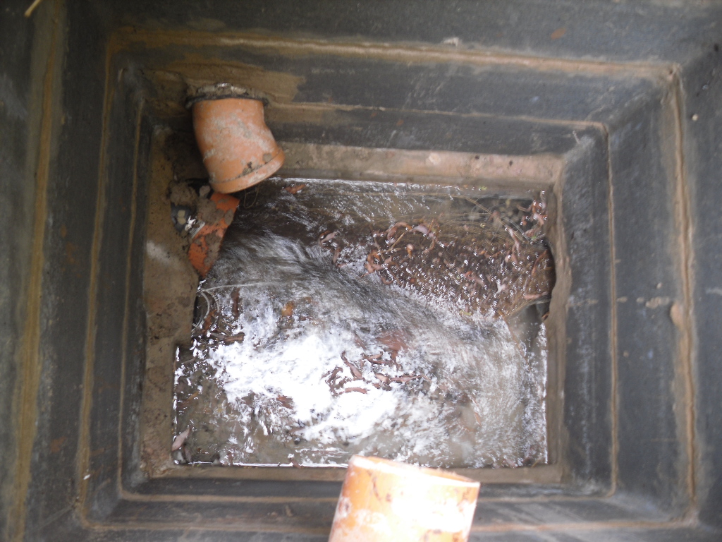
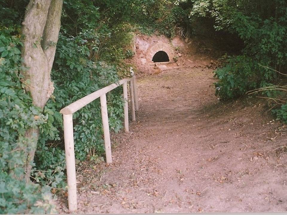
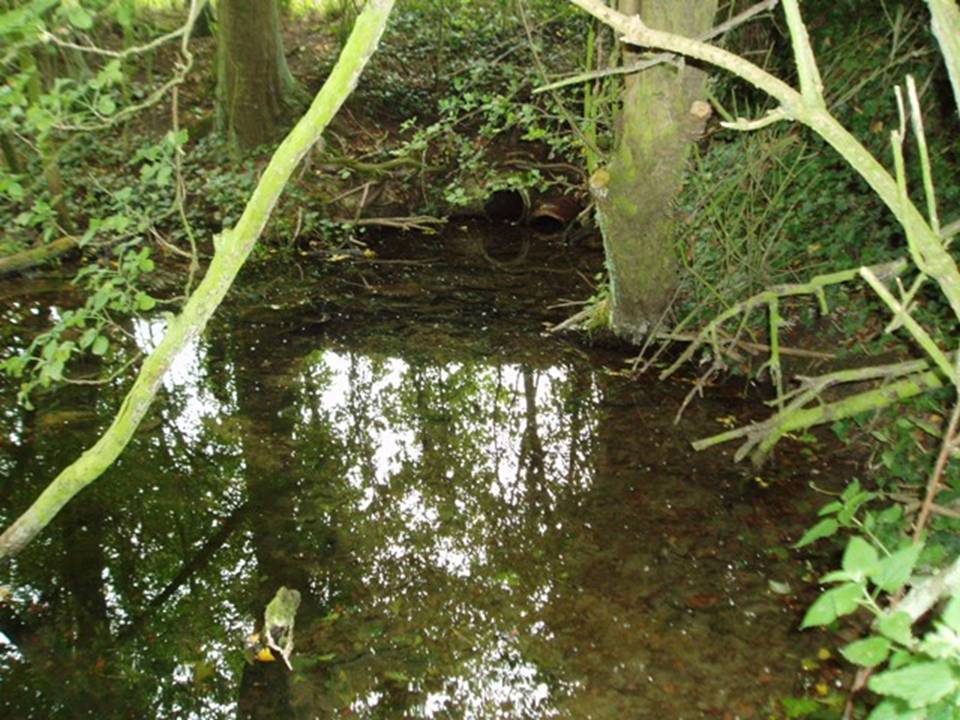
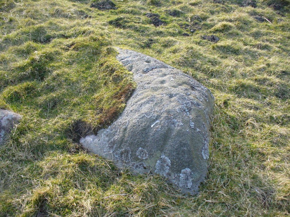
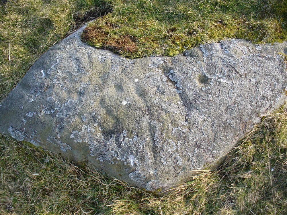
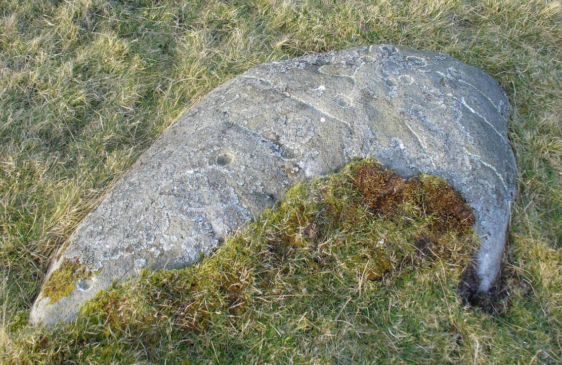
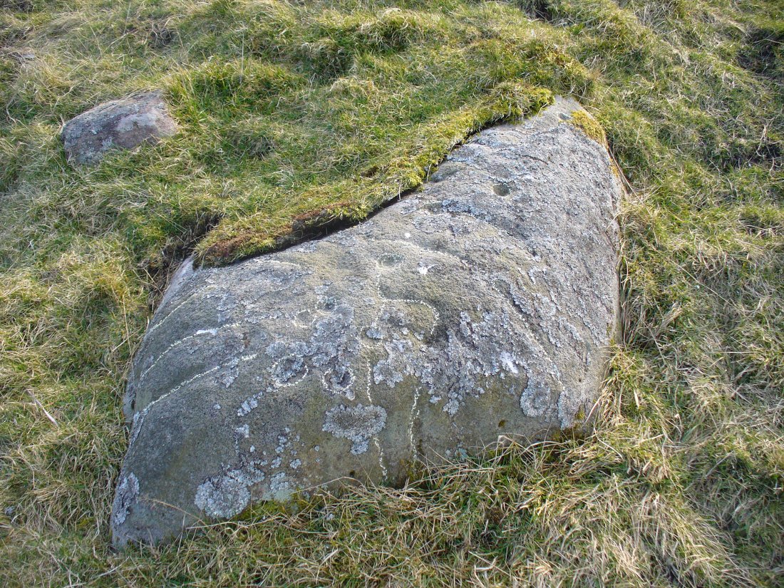
Despite a leaflet mentioning the well from the University (available as a pdf-file), it is a little reticent as regards to whether it can be visited. However, exploring around the back of the enormous Holywell complex, a small path passes some gas cylinders and then to a stile. No keep out signs are present so I assumed it was okay to jump over. There almost in front of me is a large brick chamber covered by two large fibre glass up turned boats. These appear to cover the well.
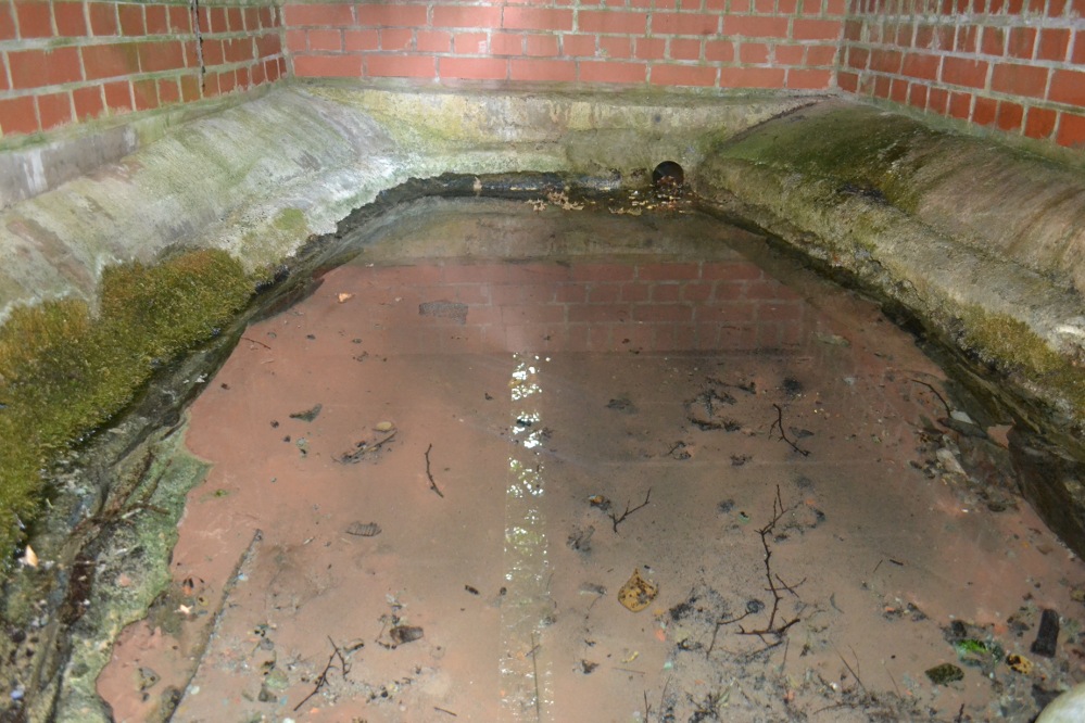
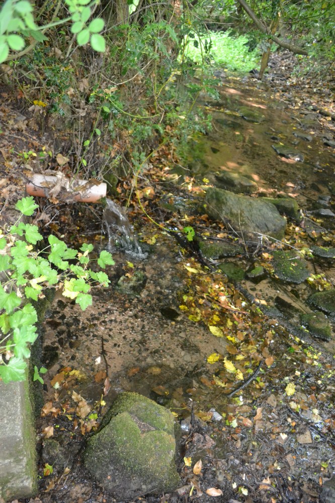
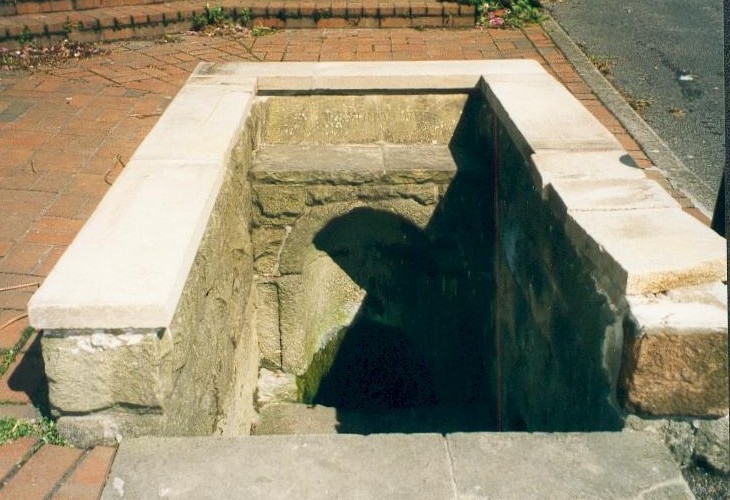
Peering between a gap however, this rather unpromising edifice reveals something more interesting. The brick chamber encloses an elliptical natural stone or possibly medieval basin, into which a copious flow enters and fills and then flows through a pipe into the brook below. Despite the rather ugly surrounds there is still something ancient and mysterious about this most well-known of Leicestershire sacred springs. The local farm, the Holywell Haw, still apparently uses the water and it is regularly checked by the University authorities. One hopes it can get a better cover. Surely the university could afford a metal grid more worthy of this venerable site.
Folklore
Local tradition states that it has medicinal qualities. Nichols (1795–1815) notes:
“The excellent spring is yet preserved.”
Potter (1852) notes that it:
“derives part of its name from a well, to the waters of which, even in recent times, considerable virtues have been attributed.”
However, its most famous legend is said to date from the 15th century. Potter (1852) notes that:
“The popular idea seems to be, that the Comyns (of Whitwick Castle) were great giants. One of them, said my informant, attempted to carry off one of the Ladies of Groby Castle, who left that place for security, intending to take sanctuary at Grace Dieu. Going, however, by a circuitous route, to avoid Charley and Whitwick, she was benighted, and would have perished in the Outwoods, but for one of the Monks of the Holy Well.”
The legend tells how after a considerable pursuit, she upon reaching the hermitage, collapsed and died. A monk then used the water to bring her back to life. Potter (1942) tells the story in verse:
“The oaks of the forest were Autumn-tinged,
And the winds were at sport with their leaves
When a maiden traversed the rugged rocks
That frown over WOODHOUSE EAVES.The rain fell fast – she heeded it not
Though no hut or home appears;
She scarcely knew if the falling drops
Were rain drops or her tears.Onward she hied through the OUTWOODS dark
(And the Outwoods were darker then)
She feared not the Forest’s deepening gloom She feared unholy men.Lord Comyn’s scouts were in close pursuit,
For Lord Comyn the Maid had seen,
And had marked her mother’s only child
For his paramour, I ween.A whistle, a whoop from the BUYK HYLLS side,
Told Agnes her foes were nigh:
And screened by the cleft of an aged oak,
She heard quick steps pass by.Dark and dread fell that autumn night:
The wind-gusts fitful blew:
The thunder rattled: – the lightning’s glare
Showed BEACON’s crags to view.The thunder neared – the lightning played
Around the sheltering oak;
But Agnes, of men, not God afraid,
Shrank not at the lightning’s stroke!The thunder passed – the silvery moon
Burst forth from her cave of cloud,
And showed in the glen “Red Comyn’s” men,
And she breathed a prayer aloud:-“Maiden mother of God! Look down
List to a maidens prayer:
Keep undefiled my mother’s sole child
The spotless are thy care”The sun had not glinted on BEACON HILL
Ere the Hermit of the HOLY WELL
Went forth to pray, as his wont each day,
At the cross in Fayre-Oke dell.Ten steps had he gone from the green grassy mound
Still hemming the HOLY WELL HAW,
When, stretched on the grass – by the path he must pass
A statue-like form he saw!He crossed himself once, he crossed himself twice,
And he knelt by the corse in prayer:
“Jesu Maria! cold as ice –
Cold – cold – but still how fair!”The Hermit upraised the stiffened form,
And he bore to the HOLY WELL:
Three Paters or more he muttered o’er,
And he filled his scallop shell.He sprinkled the lymph on the Maiden’s face,
And he knelt and he prayed by her side
Not a minute’s space had he gazed on her face
Ere signs of life he spied…..Spring had invested the CHARNWOOD oaks
With their robe of glistening green,
When on palfreys borne, one smiling morn,
At the HOLY WELL’s HAW were seen.A youth and a Lady, passing fair,
Who asked for the scallop shell:
A sparkling draught each freely quaffed,
And they blessed the HOLY WELL.They blessed that Well, and they fervently blessed
The Holy Hermit too;
To that and to him they filled to the brim
The scallop, and drank anew.“Thanks, Father! Thanks! – To this well and thee,”
Said the youth, “But to Heaven most,
I owe the life of the fairest wife
That CHARNWOOD’s bounds can boast.“The blushing bride thou seest at my side.
(Three hours ago made mine)
Is she who from death was restored to breath
By Heaven’s own hand and thine”.“The Prior of ULVERSCROFT made us one,
And we hastened here to tell
How much we owe to kind Heaven and thee,
For the gift of the HOLY WELL”.“In proof of which – to the HOLYWELL HAW
I give as a votive gift,
From year to year three fallow deer,
And the right of the Challenge drift”.“I give, besides, of land two hides,
To be marked from the Breedon Brand:
To be held while men draw from the Well in this Haw
A draught with the hollow hand”.The Hermit knelt, and the Hermit rose,
And breathed “Benedicite!
And tell me”, he said, with a hand on each head,
“What heaven sent pair I see!”“This is the lost de Ferrers’ child,
Who dwelt at the Steward’s Hay;
And, father, my name – yet unknown to fame
Is simply EDWARD GREY”.
It is thought that after being revived she gave her name to God and became a prioress and some historians link it to a real life account of Eleanor Ferrars whose was carried off. It also has similarity to legends associated with Essex’s Running Well and Kent’s St. Thomas’s well at Singlewell.
References:
- Hope, R. C, 1893, Legendary Lore of the Holy Wells of England, London: Elliot Stock.
- Nichols, J.,1795-1810, History and Antiquities of the County of Leicester, London: Nichols
- Potter, C.1985, ‘The holy wells of Leicestershire and Rutland’, in Source, 1st series, 1:15–17.
- Potter, T. R 1852, History and antiquities of Charnwood Forest
- Rattue, J., 1993, ‘An inventory of ancient, holy and healing wells in Leicestershire’, Tr. of the Leicestershire Arch. & Hist. Soc. 67: 59–69. Richardson, L. R., 1931, Wells and Springs of Leicestershire, Memoirs of the Geological Survey.
- Trubshaw, B., 1990, Holy Wells and Springs of Leicestershire and Rutland, Heart of Albion, Wymeswold.
Links:
Based on the following and part of a forthcoming Holy wells and healing springs of Leicestershire.
© Ross Parish


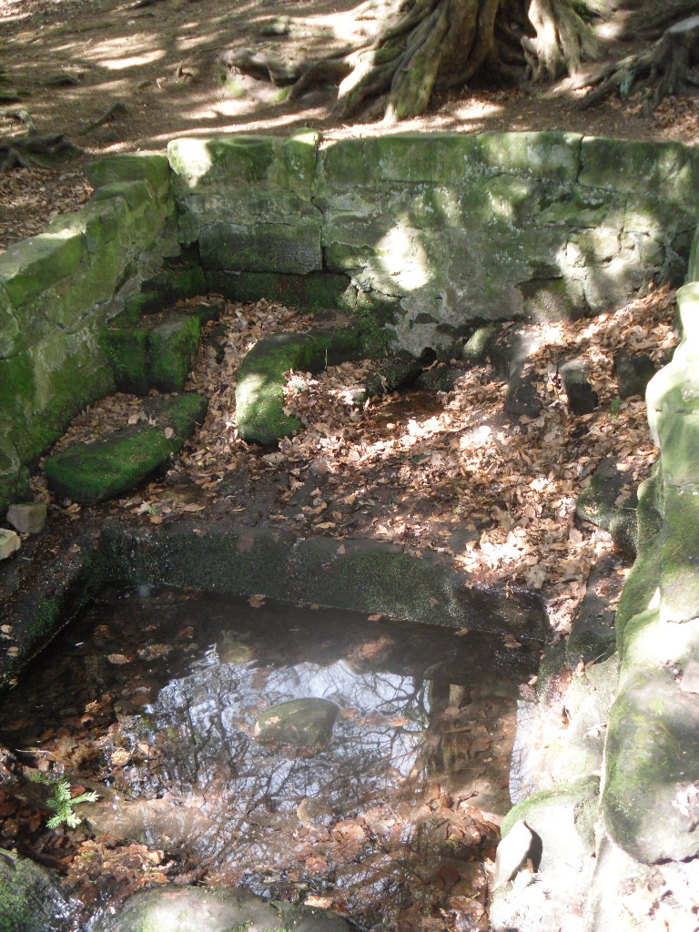
 Perhaps what makes this well one of the most evocative and interesting is the fact that it arises in an oval grove of yew trees. Some folklorists and New age Antiquarians have seen this as being evidence of some pagan origin of the well and although it is interesting that the site is unconverted to the Christian faith. However, one must be careful. Firstly the trees do not look that old and secondly the presence of a nearby Warden’s Tower, a folly, suggests that this is perhaps a 18th century piece of antiquarianism. I have been unable to find much more of its history.