Holy Well: OS Grid Reference – NN 6507 0556
Also Known as:
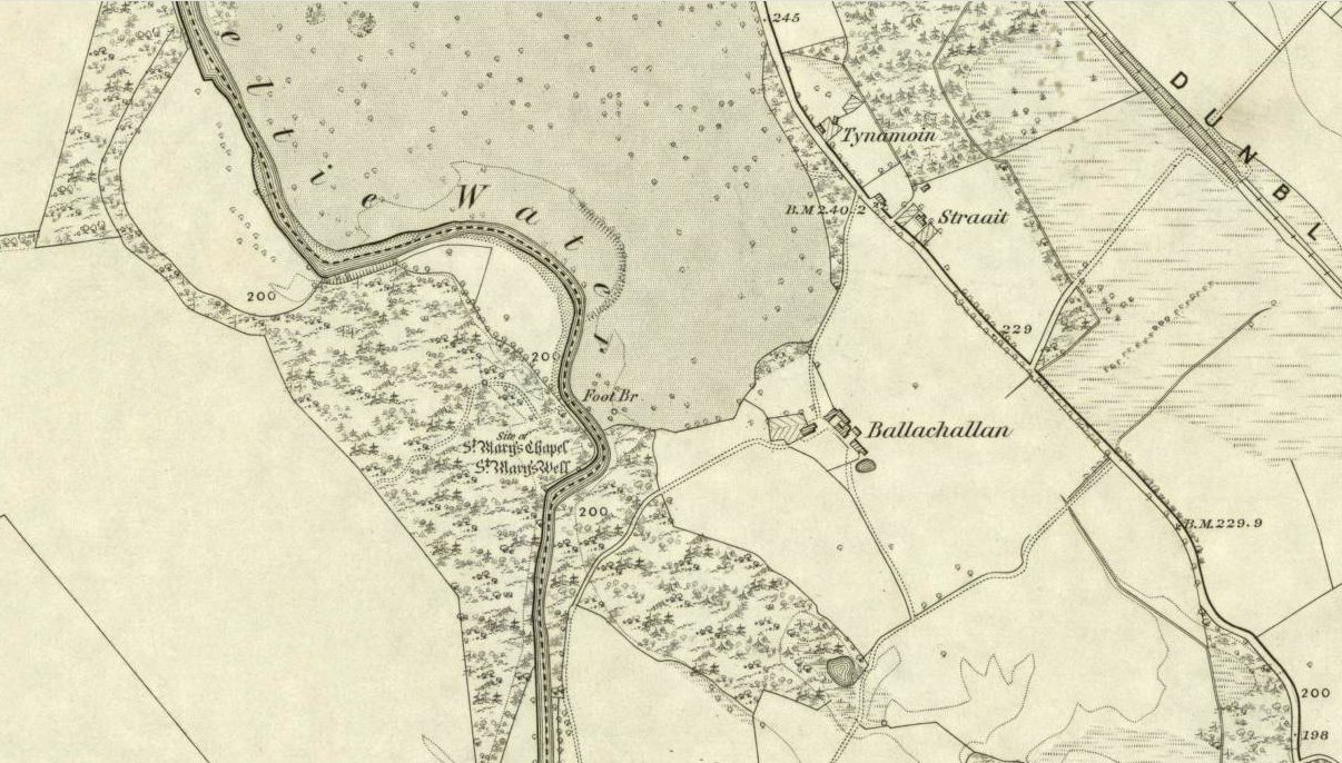
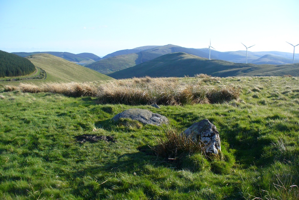
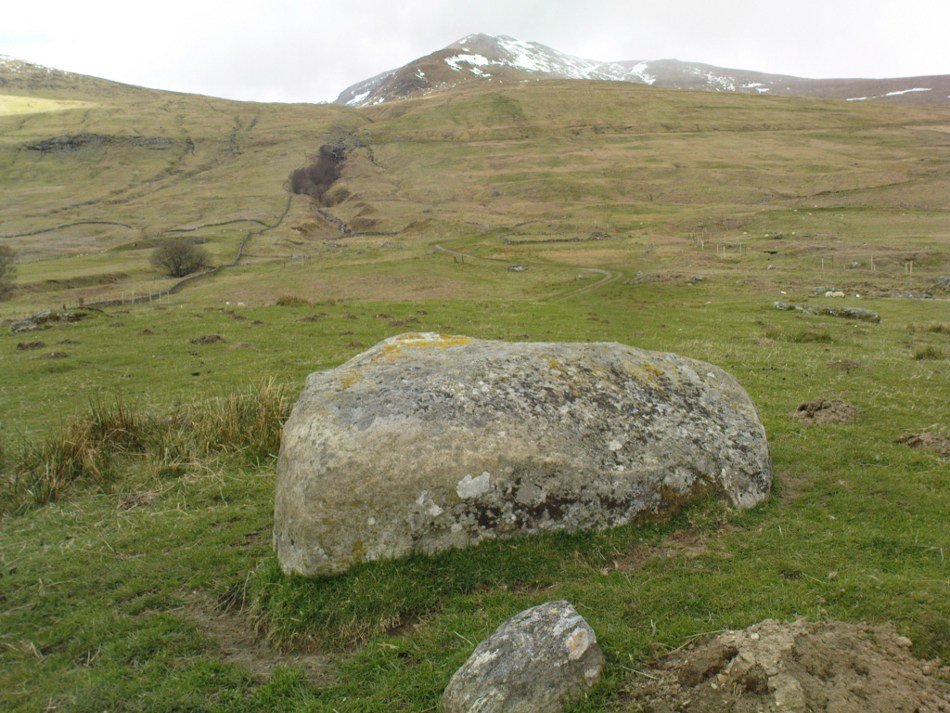
You’ll need wellies or no shoes for this excursion! From the lovely town of Callander, take the A84 road southeast out towards Doune and Stirling for a mile or so. Keep your eyes peeled for Straid by the roadside on your left and the turning right down to Ballochallan quarries. About 200 yards down, notice the industrial works on your left. Walk about 50 paces past this, then turn right into the trees. Less than 100 yards in, you’ll hit a shallow bend in the River Teith. Walk across and into the trees opposite…and if you amble just yards above the edge of the river, along the tree-line, you’ll find St. Mary’s Well…
Archaeology & History
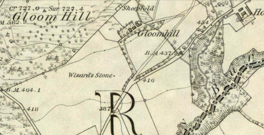
Highlighted on the 1862 Ordnance Survey map of Callander and cited in the Object Name Book of the same year, oddly there is no mention of this mythic site in the Scottish surveys on holy wells (MacKinlay 1894; Morris 1981) — which seems rather unusual considering the importance this legendary entity (St. Mary) possessed in the christian pantheon.
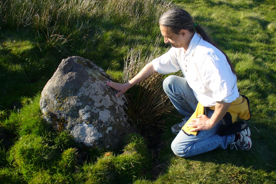
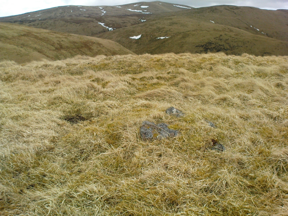
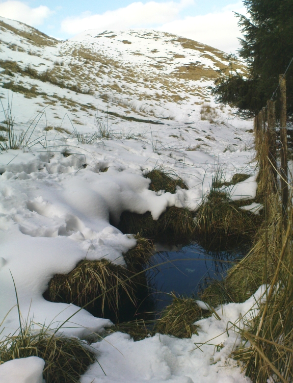
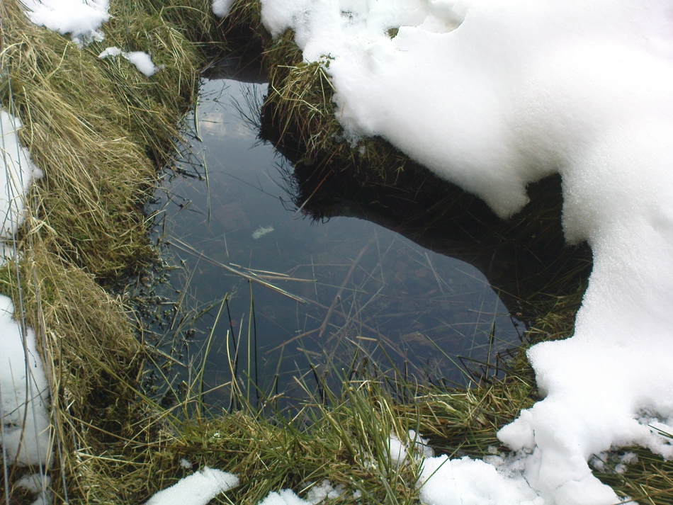
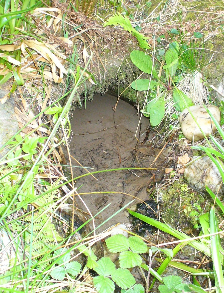
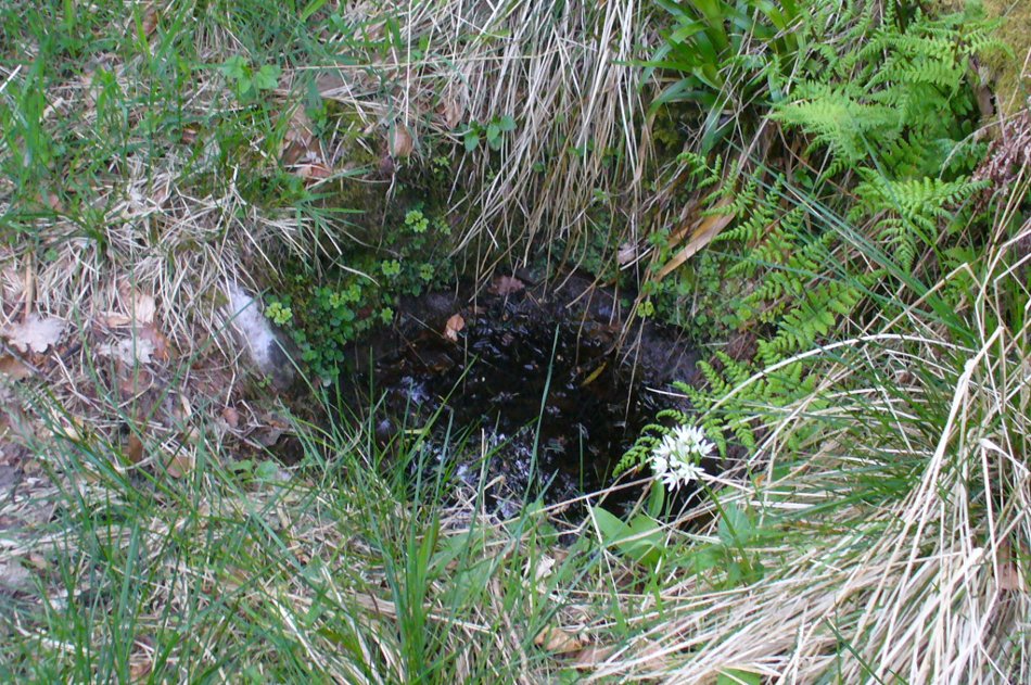
There is also some doubt about the precise position of this holy well. According to the Royal Commission account, the well “is stone lined; it measures 0.9m in diameter, and is choked with fallen leaves.” However, this appears to be the remains of a latrine (or “a bog,” as my northern tongue so eloquently exclaimed soon after finding it), now used more by frogs to lay their spawn in which their tadpoles thankfully emerge (as we found when visiting it last week). The holy well itself is about 10 yards further along the edge of the river and has a most curious architectural feature to it.
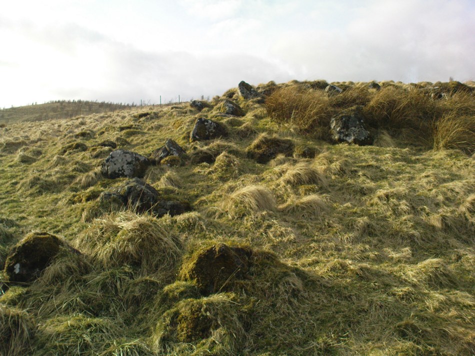
When we found the place, much of it was very overgrown indeed and it took a while to recover its status. But in doing so, we found that on all sides where the stone-lining marked the emergence of the waters, rocks large and small consisting almost entirely of quartz constituted the opening as it came out of the ground. This was a very deliberate construction feature no less! Also, the fine sandy silt which clogged up the waters were also found to have small pieces of quartz laying beneath it, seemingly as offerings that had been made here many years ago. But on the whole there seemed little evidence that the well had been used ritually for many years. So, once we’d cleaned up the debris and made the site more notable, I drank its waters and found them very fine and refreshing indeed!
In the trees behind the well you will find the overgrown remains of the old chapel, also dedicated to St. Mary. The tranquility and spirit of this place would have been truly superb. Even today, it is an ideal retreat for meditation and spiritual practice. It just seems such a curious mystery that nothing seems to be known of the place…
Folklore
The 1862 “Object Name Book” told that the waters here were renowned for having great healing properties. St. Mary’s feast day was August 15 and great were the country fairs and rituals surrounding this period across Scotland and beyond — many of which may have supplanted the more arcane festival of Lammas. However, local records are silent about any such events performed at Callander’s St. Mary’s Well. Do any old locals know more about it…?
References:
- MacKinlay, James M., Folklore of Scottish Lochs and Springs, William Hodge: Glasgow 1893.
- Morris, Ruth & Frank, Scottish Healing Wells, Alethea: Sandy 1982.
© Paul Bennett, The Northern Antiquarian