Standing Stone: OS Grid Reference – NN 61702 58975
Also Known as:
- Canmore ID 24576
- Chieftain’s Grave
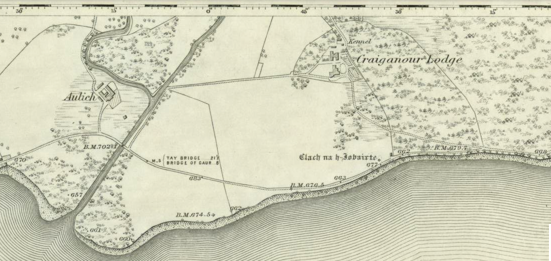
- Clach na h-Iobairte
- Clach na h-Jobairte
- Craiganour Stone
- Craig-na-Odhar
- Stone of Sacrifice
- Stone of the Offering
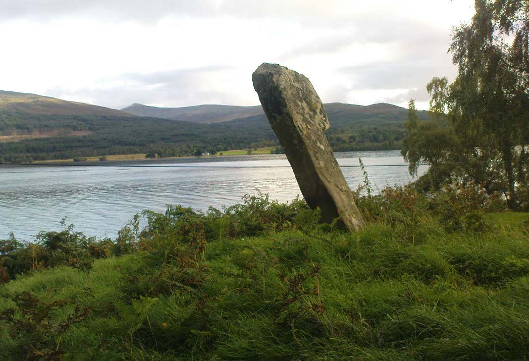
From the gorgeous village of Kinloch Rannoch, take the road along the north side of Loch Rannoch for about 2½ miles. As you go along the road, for a good mile or so it is wooded. Where the woods stop and the first field appears on your right, stop! You’ll see the standing stone perched erotically at an angle above you.
Archaeology & History
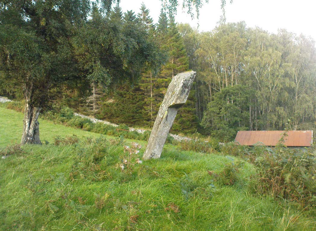
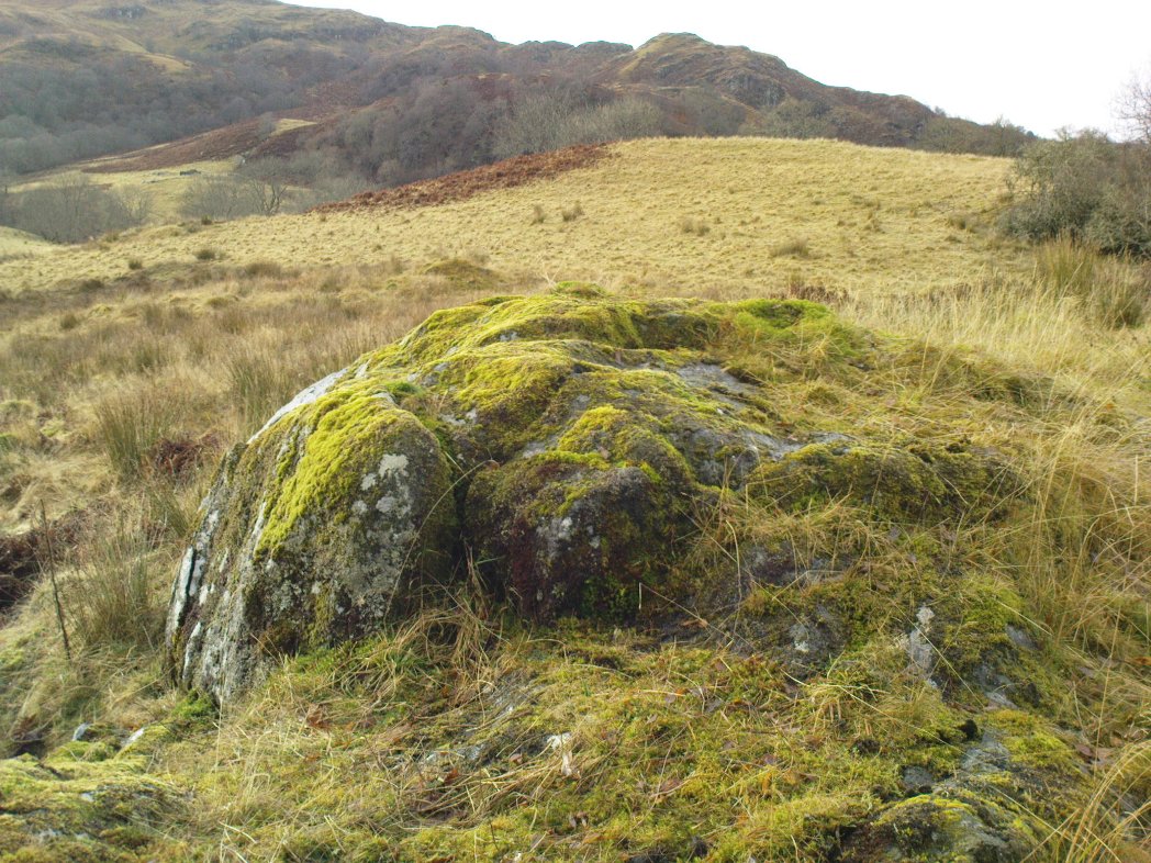
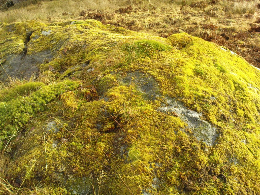
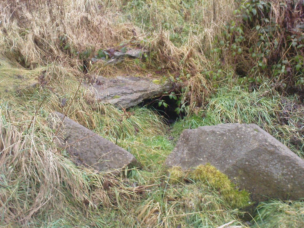
A fascinating site in a quite beautiful setting, typical of the Highlands. This stone of many names is a curiously-shaped monolith: like an erect stone penis at the edge of the field when seen from the roadside, calling out to christians and pagans alike, to be castigated or rubbed—whatever the religious preference of the surveyor! Leaning over at a slight angle, the stone is still nearly six feet tall and lives upon a large and equally prehistoric stone cairn about 30 feet across. This cairn, it is said, has been added to by locals when the field was cleared of stone and piled on top of the old tomb. No excavations have been done here, nor at the large ‘hut circle’ in the same field about 50 yards away.
Folklore
So far I have only found a short narrative of this stone in the pages of T.R. Barnett’s (1944) loving account of the Perthshire hills, where he tells that, close by the stone at Aulich, was once
“a famous smith, said to be in league with the devil, and he made the finest claymores in Rannoch.”
References:
- Barnett, T. Ratcliffe, The Road to Rannoch and the Summer Isles, John Grant: Edinburgh 1944.
- Cunningham, A.D., A History of Rannoch, privately printed 2004.
© Paul Bennett, The Northern Antiquarian