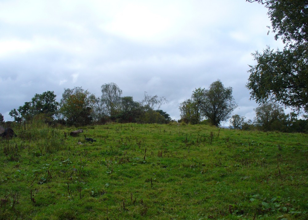
From Bridge of Allan go down the main A9 road towards the University, but turn left up the Sheriffmuir road, 100 yards up turning right to keep you on track up the steep narrow dark lane, turning left at the next split in the road. Follow this for a mile or two all the way to the very end where the tell-tale signs of the unwelcoming english incomers of ‘Private’ now adorns the Pendreich farm buildings. There’s a dirt-track veering uphill diagonally right from here. Go up here and as it bends slightly left, look into the open copse of trees to the highest point here less than 100 yards to you right. That’s it!
Archaeology & History
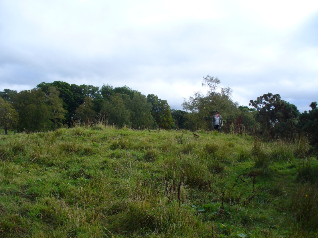
Lisa gives an idea of scale
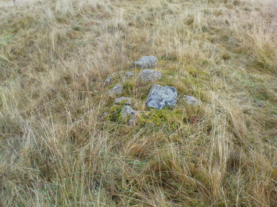
The remains of this prehistoric tomb sits right on the very crown of the hill round the back of Pendreich, covered on its western edges by old gorse bushes. Its eye speaks with the nearby sites of the Fairy Knowe to the south, the fallen standing stone of Pendreich Muir to the northeast, the associated cairns to the east, and the Pictish fortress of Dumyat behind them. When I came up here for the first time last week with local archaeologist Lisa Samson, we found that the land upon which the cairn now lives is fertile with a variety of edible (Boletus, Amanita, etc) and sacred mushrooms (Panaeolina, Psilocybes, etc). And, despite being told by locals and the archaeology record as a place where very little can be seen, I have to beg to differ.
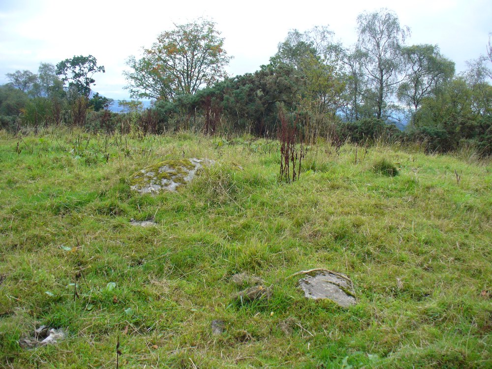
Fallen stone at the cairn edge
The crowning cairn is of course much overgrown and has been dug into in earlier years, but just beneath the grassy surface you can feel and see much of the stone that constitutes this buried site. The cairn itself rises a couple of feet beneath the grass and is clearly visible as you walk towards it. At its edges there seems to be the fallen remains of a surrounding ring of stones. Inside of this ring we can see and feel the overgrown rocky mass and open cists sleeping quietly, awaiting a more modern analysis to tell us of its ancient past. When the site was visited by the Royal Commission lads in the 1960s, they went on to tell us the following about the place:
“This cairn is situated on the summit of a low knoll within a felled wood, 170 yards ENE of Pendreich farmhouse at a height of 600ft OD. It consists of a low, grass-covered mound which measures 40ft in diameter and stands to a maximum height of 1ft 6in. The surface is disfigured by pits caused in 1926 when the cairn was opened and three cists were uncovered. Two of these contained no relics; in the third there were fragments of bones and a broken beaker, some sherds of which are preserved in the Smith Institute, Stirling.”
Although we find the scattered remains of old farm equipment lying round the edge of this tomb, it’s still a good site to visit and, I’d say, worthy of further archaeological attention.
References:
Royal Commission on the Ancient & Historical Monuments Scotland, Stirling – 2 volumes, HMSO: Edinburgh 1963.
Royal Commission on the Ancient & Historical Monuments of Scotland, Archaeological Sites and Monuments of Stirling District, Central Region, Society of Antiquaries of Scotland 1979.
Watson, Angus, The Ochils – Placenames, History, Tradition, Perth & Kinross District Libraries 1995.
Takes a bitta finding this one. Best found by going along the gorgeous, little-known Dunning Glen in the eastern Ochils, till you reach Littlerig house. Cross the road from there and follow the line of the burn and forest till it veers sharp left. Keep along the fencing until the marshland levels out and streams fall away both east and west. From here, walk uphill until you reach level ground, then, looking down the Borland Glen, zigzag downhill for 100 yards. Keep your eyes peeled for stones emerging from the Juncus grasses.
Archaeology & History
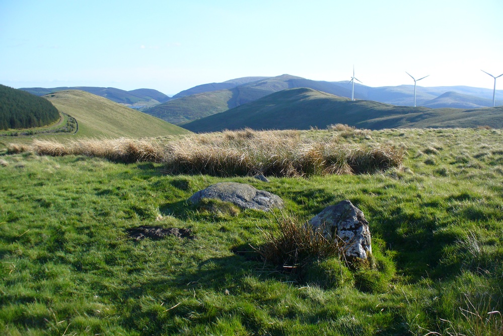
This four-poster stone circle isn’t included in Aubrey Burl’s (1988) survey of that name, nor his 2000 AD magnum opus on megaliths. The site appears to have only recently been rediscovered. Shown on modern OS-maps in non-antiquated lettering, this may be due to verification being required to authenticate its prehistoric status. It’s certainly in a peculiar position in the landscape here — and seems more likely to have been built just 100 yards uphill on the level grassland plain where views east, south and west open up almost with the majesty of Castlerigg!
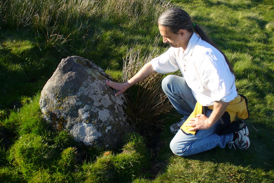
Fondling & puzzling over cup-marks on one of the stones
When Paul Hornby and I ventured here yesterday, we mistook the arc of three stones on the flat plain with the ring of stones that are down the Borland Glen slope ahead of us, so good was the position! But at least one thing came of this: of the arc of three stones shown in the photos here, one of the rocks possesses cup-markings, which you can make out here in one of the close-ups.
The dimensions of the four stones that make up the ‘circle’ down the slope was measured and described by the Scottish Royal Commission lads as follows:
It comprises four stones, which define a trapezium measuring 3.2m along its N and W sides, 2.7m along the S and 2.5m along the E. All the stones are set square at the corners with their long axes lying E and W, and they present a long flat face to the interior. The two on the N are markedly larger than the others, and that on the NW is also the tallest. The dimensions of the stones are as follows: NW – 1m by 0.5m and 0.65m high, NE – 0.8m by 0.4m and 0.3m high, SE – 0.73m by 0.43m and 0.2m high and SW – 0.73m by 0.38m and 0.4m high.
One of the most notable features a visitor to this site will find, is the utter silence as you walk up the slopes to reach the place. And then, once away in the opening landscape, a view of velvet Earth in all Her beautiful shades surrounds you – assuming you go here on a sunny day! Well worth the wander if quiet hidden megaliths are your pleasure…
References:
Burl, Aubrey, Four Posters: Bronze Age Stone Circles of Western Europe, BAR 195: Oxford 1988.
Burl, Aubrey, The Stone Circles of Britain, Ireland and Brittany, Yale University Press 2000.
Acknowledgements: Many thanks to Paul Hornby for use of his photos.
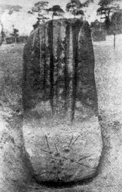
Similar in size and appearance to one of the cup-marked Tuilyies standing stones in Fife, Scotland, it was our old ley-hunter, Alfred Watkins, who described this stone in his Ley Hunter’s Manual (1927), along with giving us the old photograph taken by one of his mates here, which also showed the cup-and-ring carvings near the base of the stone. Are they still visible? (I’ve not been here, hence mi ignorance!) Watkins thought the cup-markings at the bottom represented some of the local leys—but unfortunately they don’t.
Folklore
Legend says that the deep grooves running down the stone were made by men sharpening arrow-heads on it (like a whetstone). There was also the usual christian Victorian fable that the stone was used by the druids and that the grooves on the stone were where the blood of their human sacrifices was channelled to the ground! The stone was also said to have some relationship with the nearby Calder Stones (which seems probable).
References:
Cowell, Ron, The Calderstones – A Prehistoric Tomb in Liverpool, Merseyside Archaeological Trust 1984.
Watkins, Alfred, The Ley Hunter’s Manual, London 1927.
Go west out of Dunfermline on the A994 till you hit the Torryburn roundabout, taking the A985 Kincardine road. Barely a half-mile along, stop at the first parking lay-by at the roadside – and there, over the barbed wire fence, you’ll see your standing stones right in front of you.
Archaeology & History
The Tuilyies standing stones
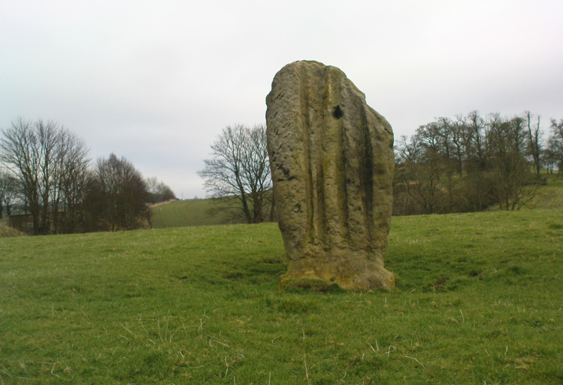
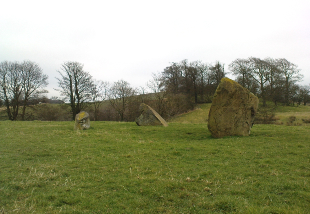
Overlooking the northern shores of the Firth of Forth is this fascinating group of standing stones which, old lore told, was once an old stone circle. You can see what they meant. The Tuilyies consists of a small group of three stones, between 3 and 7 feet tall, arranged in the form of a scalene triangle; and about 20 yards away stands the more impressive outlying 8 foot tall upright stone, somewhat akin to a petrified ancestor, with both natural and man-made cup-markings on at least two sides of its slim body. This outlying stone is of a very different character to that of its close neighbours—and a different type of stone as well—and is very similar in both size and appearance to the Robin Hood Stone at Allerton, near Liverpool. Curious…
The east-facing cup-marked Tuilyies stoneNatural ridges on its west-face
Whether the stones here were part of a stone circle we don’t know for sure. It was suggested as such in 1793 and Aubrey Burl (2000) includes them in his primary survey, but we have little evidence to prove as such nowadays. The parish of Torryburn not only had to contend with industrial agriculture knocking down any stones that may once have stood here, but in the 17th century the village also had to tolerate the psychiatric delusions of one reverend Allan Logan: one of the many deranged priests who saw witchcraft and demons in everything natural or animistic, persecuting local people for their old traditions, herbalism and peasant-lore. (Beveridge 1885; Cunningham 1902; Webster 1820, etc) These old stones were unlikely not to have received his depraved attention. But thankfully, some remain standing…
The Tuilyies seem to have been described first of all in the 1793 Old Statistical Account of Scotland—and in that narrative we find one of the earliest descriptions of cup-markings. It told that,
“In a pretty extensive plain field NE of the village of Torryburn, there is a flat stone, raised upon one end, of a shape nearly oblong and measuring, from the surface to the top, about 8 feet, and about 4½ in breadth, Round the edge of it there is a deep circle, and on each of the sides a number of ridges, all of which wear the appearance of art and antiquity. At about 18 or 20 paces from this stone, there is a number of smaller ones, which, from their present position, seemed to have formed part of a circle.”
Many years were to pass before these old stones heard from the men of words again. This time it was the renaissance of cup-and-ring designs that brought them back to light, when Sir James Simpson (1866), in his massive precursory essay to British Archaic Sculpturings (1867) talked about them:
“The stone at Torrie, Fifeshire…is a flattened sandstone flag, deeply guttered in longitudinal lines, and presenting cup- markings on its eastern side. It has been attempted to be made “a holed stone,” like (the) this block at Ballymeanoch (Argyll), but the artificially splayed perforations from the opposite sides do not meet in the middle. About fifty paces from it are the remains of a small circle of stones.”
The triangle of standing stones
Unusually, J. Romilly Allen only mentioned the stones in passing, simply repeating Simpson’s earlier words. Even local historians gave the site scant attention. In David Beveridge’s (1885) magnum opus he gave only a brief mention of the stones; and A.S. Cunningham (1902) did likewise. Thankfully after a visit to the stones by the Royal Commission lads in May 1925, a more detailed description was given. They wrote:
“The site of the cup-marked standing stone…is a plateau, 150 feet above sea level, in a field on Torrie Estate about half a mile to the northeast of the village of Torryburn, and on the north side of the drive to Torrie House. At a distance of 60 feet from it are three huge boulders, and the four are said to be the remains of a circle, although that idea is not borne out by their present disposition.
“The cup-marked stone rises to a height of 8 feet above the ground and has its narrow faces to the north-east and south-west. It is of irregular form, narrowing somewhat at 7 inches from the base, expanding outwards at the middle, and contracting again to a roughly convex top. On the east face the lower portion is covered with cup-marks. which vary from 1½ to 5 inches in diameter and from 1½ to 2 inches in depth. At a height of 6 feet from ground level, in the south-west angle of the stone, is a cavity 7 inches in depth, while there is a similar cavity of like depth opposite to it on the west face. The stone is also marked on the east and west faces, as well as on the top and down the narrow sides, with a series of perpendicular grooves of varying depth, but all these channels are due to weathering. Its measurements are: north face, 1 foot 3 inches; south face, 1 foot 4 inches; east face, 4 feet 4 inches; west face, 4 feet 3 inches; girth at base, 10 feet 8 inches; at 7 inches up, 8 feet 10 inches; at middle, 10 feet 5 inches.
“The three other boulders are set in the form of a triangle immediately to the south of this cup-marked stone, at intervals of 12, 15 and 16 feet apart. One has evidently fallen from an upright position and now lies with its major axis north and south. None of the three shows any markings. They are of whinstone, while the cup-marked standing stone is of grey sandstone.”
But as for the lack of cup-markings on the outlying smaller stones, when Ron Morris (1973) examined the site in the ’70s, he found what seemed to be some cup-marks on the largest of the group of three stones, as shown in the photos. On this he reported,
“25yds S of the well-known cup-marked standing stone are 3 large boulders. The W of these, measuring 7′ x 4½’ x 3½’ high, bears on its slightly W-sloping top surface 7 cups cup to 2″ diameter and ½” deep.”
When I visited the site the other day, these were difficult to see—cos as the photos here show, Nature gave us a bittova dark grey day and such carvings are notoriously temperamental when weather conditions aren’t to the stone’s liking!
Folklore
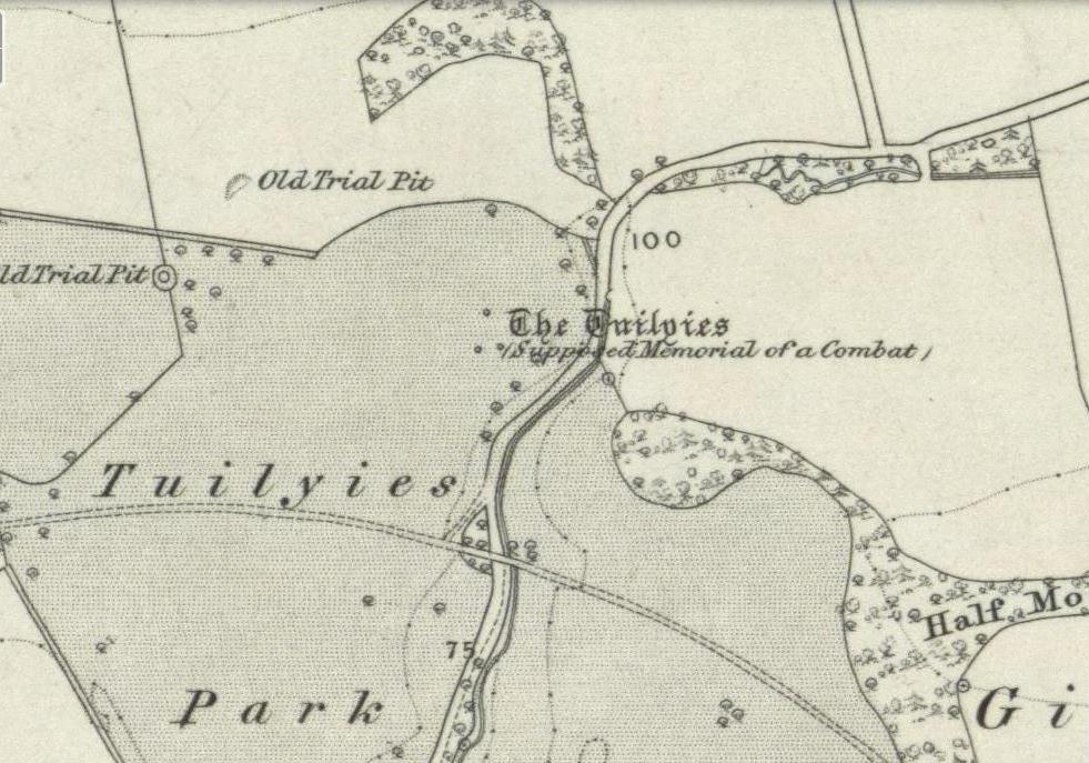
The Old Statistical Account of 1793 told that the stones were supposed to have “been the scene of a battle in some former period, and these stones…mark the graves of some of the chiefs, who had fallen in the engagement.” The lore was echoed in David Beveridge’s (1885) huge local history work, where he informed the reader that many standing stones along the Forth,
“are all connected with the Danish incursions. One specially may be mentioned, standing near Torryburn, the parish adjoining Culross, in a field which is still known by the name of the Tuilzie, or Battle Park.”
Morris, Ronald W.B., “Torryburn, Torry – Cup-Marked Rock’, in Discovery & Excavation in Scotland, 1973.
Royal Commission on the Ancient & Historical Monuments, Scotland, Inventory of Monuments and Constructions in the Counties of Fife, Kinross and Clackmannan, HMSO: Edinburgh 1933.
Simpson, James, Archaic Sculpturings of Cups, Circles, etc., Upon Stones and Rocks in Scotland, England and other Countries, Edmonston & Douglas: Edinburgh 1867.
Webster, David, A Collection of Rare and Curious Tracts on Witchcraft and Second Sight, D. Webster: Edinburgh 1820.
Follow the same directions as if you’re going to the Corrycharmaig East 3 carving. Walk off the rocky outcrop here, below the tree, and head diagonally across the boggy grasses back towards the River Lochay. After about 50 yards you’ll see a rocky promontory ahead of you that overlooks the very edge of the river, with trees around it. That’s the spot – right on the edge above the river!
Archaeology & History
Cup-markings on the Corrycharmaig East 4 stone
For me, this was the most intriguing of the newly-found Corrycharmaig East carvings. Intriguing because this is on the same geological ridge as that on which the brilliant Stag Cottage carvings are found, right across on the other side of the river. That singular rise of rock emerging from the field, heading to the river, continues on this side — though is much less conspicuous here, and is much smaller and covered with olde trees and Nature’s marshy greenery. It was this fact which led me to look at these rocks in the first place…wondering if our neolithic ancestors had continued etching their mythographies on the other side of the living waters. And so it turned out.
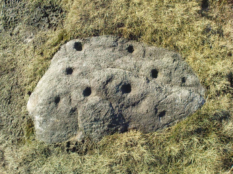
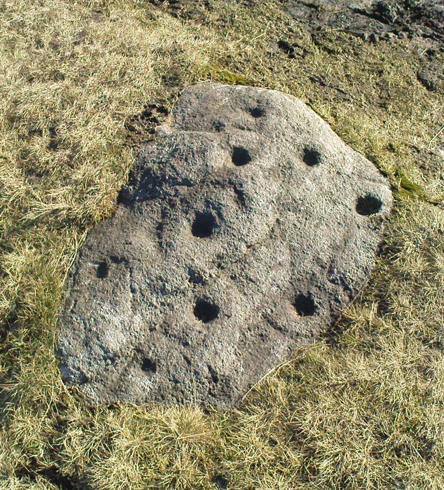
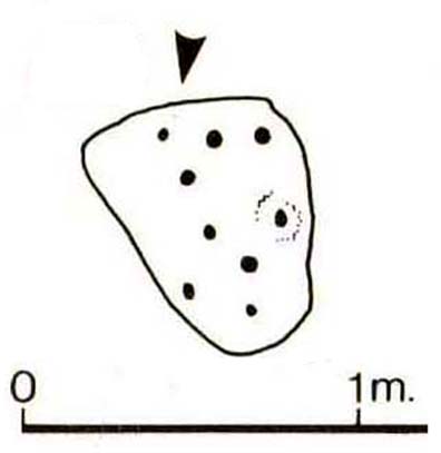
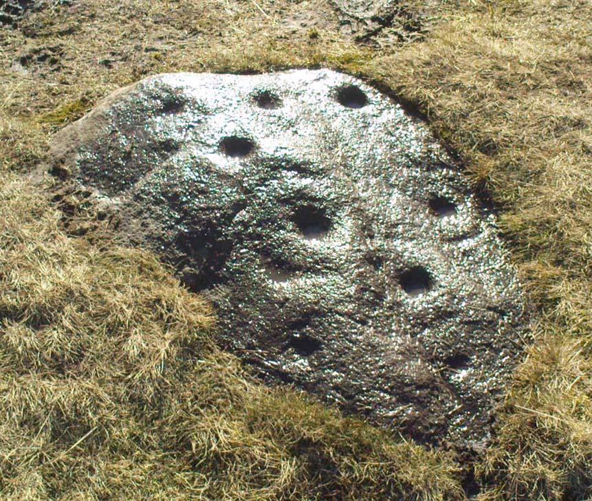
But don’t expect anything like as impressive as the Stag Cottage carvings. Here instead, as the photos show, are just five distinct cup-markings: three running along one line near the SE side of the stone, with another two on its NW side. The cups are all roughly the same size, being a couple of inches across; one is an inch deep. There may be more beneath the excess of mosses along this and the adjacent rocks, but I didn’t look.
Follow the directions as if you’re visiting the other Corrycharmaig carvings, but as you cross the bridge over the River Lochay, turn immediately left and follow the edge of the river down the field till you reach the fence. Go over here, but then head up the slope away from the river, over another fence up the small grassy hill ahead of you. As you near the very top of the hill, you’ll find the stone in question.
Archaeology & History
Small overgrown cairn 10 yards away
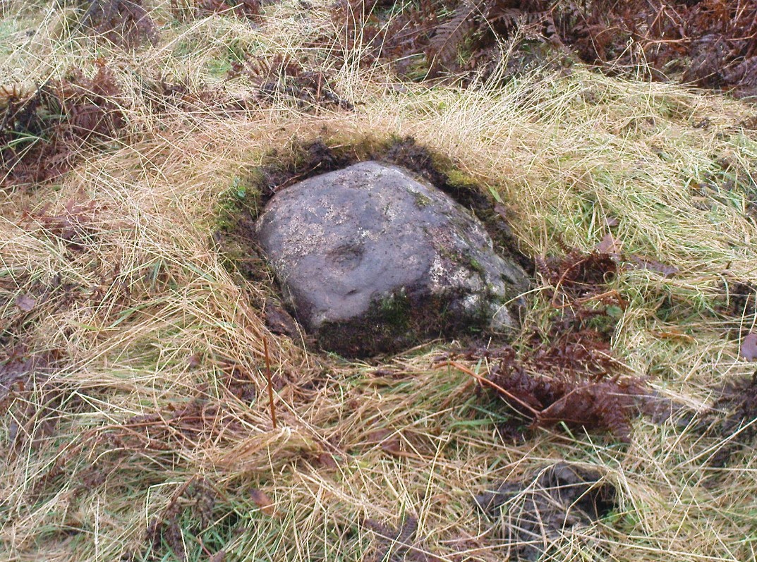
Found near to the famous Stag Cottage and Duncroisk carvings, this previously unknown example is found on a small rounded female stone, barely 2 feet by 2 feet across. The most notable feature is the large cup-marking, 2-3 inches wide and half-and-inch deep. When I first found the stone, twas a cloudy grey day and I wasn’t sure whether a small carved arc along one edge of the cup continued into a semi-circle — but as the photo here shows, the cup-mark seems to have a large faint ring going about three-quarters of the way round it. Hopefully I’ll get some better images of the stone when I visit again in the coming weeks.
The stone gave the impression that it belonged in a cairn of sorts, but a brief rummage in the grasses immediately around the rock showed nothing. However, barely 10 yards down the grassy slope there was a small overgrown cairn — though it didn’t seem to have that prehistoric pedigree about it. This carving is one in a group of at least four others—including Corrycharmaig East 3—not previously catalogued. It’s likely that more remain undiscovered on the many other rocks nearby.
Cup-marked rocks of E.Corrycharmaig 3 (with the green hill of CE02 behind)
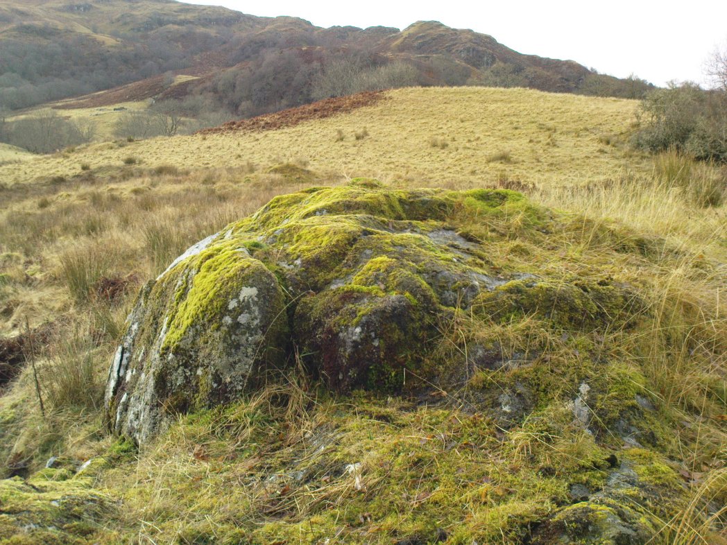
Follow the directions from Killin, down Glen Lochay, as if you’re going to the other Corrycharmaig carvings; but as you cross the bridge over the River Lochay, turn immediately left and follow the edge of the river along the field, crossing the first fence, keeping close to the riverside and over and over another fence. Head across the boggy grassland and you’ll see a small green outcrop of rocks just above the tree-line above the river. That’s the spot!
Archaeology & History
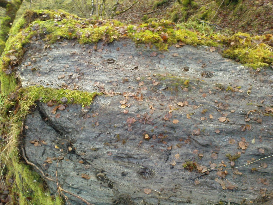
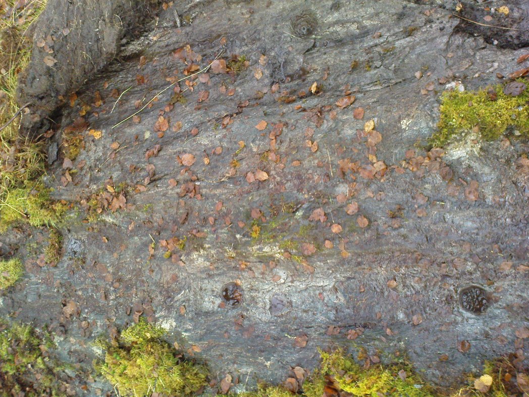
Two of at least 6 cup-markings on these mossy rocks
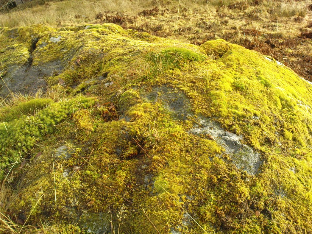
Another carving that’s a short distance from the famous Stag Cottage carvings on the opposite side of the river. This lovely moss-covered rocky mass has two sections of cup-markings on it – both of which have proved difficult to photograph because of the vivid green primal cover. It’s found less than 100 yards from the CE04 carving and below the hillock of the CE02 cup-and-ring (as you can see in the photo above).
The rock itself has two carved sections: an upper and lower section, with at least three cup-markings on the lower section and three on the upper portion as well. Some natural geological marks on the lower part of the rock may have been added to, but this is by no means clear. There may well be other elements to this ancient carving, but I wasn’t about to strip all the lovely moss from the stone just to find out. It’s a truly beautiful stone in a gorgeous setting and, despite the day being grey and overcast, I wasn’t about to defile the greenery here. It’s one of a group of at least four carvings east of Corrycharmaig that have not previously been catalogued. Other carvings likely remain to be found close by.
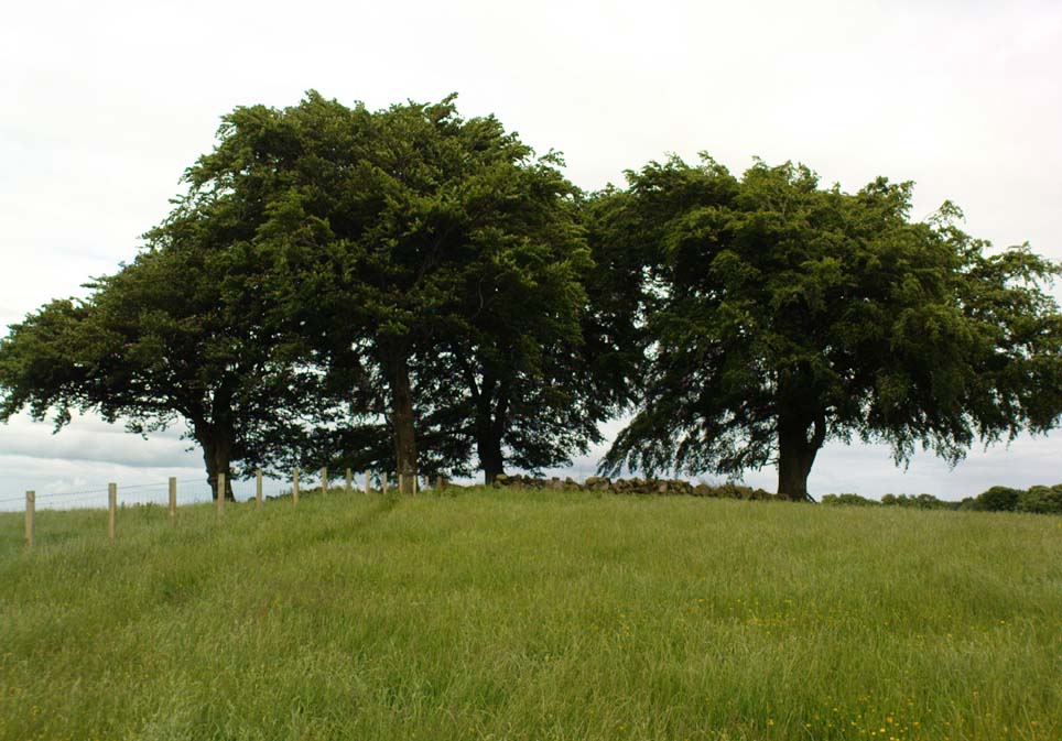
Go along the A977 road out of Powmill village towards Crook of Devon, and as the road swerves uphill, past the Powmill Milk Bar on the right-hand side of the road, take your next right. Go along this small country lane for a mile or so, past Maidenwells Farm; then as you go uphill, stop at the very top. Look in the field on your left, where a small round clump of trees are surrounded by circular walling. The cairn’s inside the protective walling.
Archaeology & History
This Bronze Age tomb sits quietly amidst the ring of trees and walling which give the site cover and protection and, of course, an excellent view of the landscape for the spirit of whichever ancestor lives here. The place seems to have been described first of all in the Old Statistical Account of the area, in 1796, where they told:
“In the middle of Carleith are the ruins of an old building, perfectly circular, and nearly 24ft in diameter. Not long ago, the proprietor ordered this ground to be planted, and the stones were dug up to make a dyke. Two stone coffins were found each 4 feet long by 3 feet broad, and contained some human bones and teeth.”
The cairn’s within the trees…
Today, the overgrown remains of the cairn measure roughly 10 yards across, with the beeches reaching their great roots into and around the old tomb. The sides of the stone cist are still visible amidst the undergrowth. It was measured and described in a letter to the Ordnance Survey by J.S. Nichol in 1959, who thought there may have been more than one tomb here.
Folklore
Although we don’t know for certain, one of the legendary witches known as ‘Meg of Aldie’ was said to frequent an old site close to where she lived – perhaps the Carleith cairn. The site is a damn good contender for such heathen rites!
References:
Simpkins, Ewart, County Folklore – volume VII: Fife, Folklore Society: London 1914.
From Ilkley centre, take the road up to Cow & Calf, going past the hotel and along Hangingstone Road for a half-mile until you meet some walling on the right of the road. Stop and walk up the small beck, veering to the left as you approach the brow of the hill. Keep walking up the beck onto the moor where you’ll eventually reach its source, as shown in the photo here!
Archaeology & History
This once fast-flowing spring of fresh sparkling water has seen better days. The site has two openings in the Earth about 10 yards east and west of each other, both discernible by the notable difference in vegetation on the moors here, where richer hues of green created by the waters cut a small channel down the moorland slopes through the usual hues of heather.
The waters taste fine when they’re in flow, but much of the land here has fallen into shallow marsh and with the inevitable falling of the water table thanks to the stupid arrogant Industrialists, very little of the goodness is available. But it wasn’t always like this. Certainly when our prehistoric ancestors carved the rock art close by the source of the waters, then later constructed the large ritual enclosure immediately west of the springs, the waters would have been very important—and in much greater profusion—for simple nourishment and for rituals enacted at the site.
From Baildon go up onto the moor, turning left to go round Baildon Hill and onto Eldwick, stopping at the car park at the top of the brow where the Acrehowe circle once stood. Cross the road and walk along past carving 184, making sure you keep right sticking to the footpath that runs along the edge of the slope (not onto the flats & up to Baildon Hill itself). There are several carvings along here, but this one’s on the right-side of the widening path, another 300 yards past carving 184. Keep your eyes peeled – y’ can’t really miss it!
Archaeology & History
Carving 173, looking S
In my 1982 notebook I described this as “a very well-preserved cup-and-ring stone, with two cup-and-rings and seven other cup-marks. There seems to be faint remains of other lines carved by some of the cups.” And the description is as apt today as it was back then – though neither of the surrounding ‘rings’ are complete. However, as the photos here indicate, adjacent to the main cup-and-ring near the centre of the stone another incomplete cup-and-ring is evident, emerging from the natural crack that runs across it. In the subsequent surveys of Hedges (1986) and Boughey & Vickerman (2003) they somehow only saw one cup-and-ring on this rock. Easily done I suppose! In certain light there’s what may have been an attempted second surrounding ring starting on one of the cups…but I’ll leave that for a later date…
CR-173 (after Hedges)Slippery when wet!
There may also have been intent to carve another ring around one of the other cups on the northern half of the stone. This possible fourth ring and its position on the stone potentiates solar symbolism (not summat I’m keen on, tbh), which fits into the position and nature of several other cup-and-rings in this region and which I’ll expand on and highlight a little later on. It is important to remember that this petroglyph and its nearby relatives were once accompanied by a series of tumuli, or prehistoric burial mounds: a feature that is not uncommon in this part of the world. Well worth having a look at!
References:
Bennett, Paul, Megalithic Ramblings between Ilkley and Baildon, unpublished: Shipley 1982.
Boughey, Keith & Vickerman, E.A., Prehistoric Rock Art of the West Riding, WYAS: Wakefield 2003.
Hedges, John (ed.), The Carved Rocks on Rombalds Moor, WYMCC: Wakefield 1986.
Morris, Ronald W.B., “The Prehistoric Rock Art of Great Britain: A Survey of All Sites Bearing Motifs more Complex than Simple Cup-marks,” in Proceedings of the Prehistoric Society, volume 55, 1989.