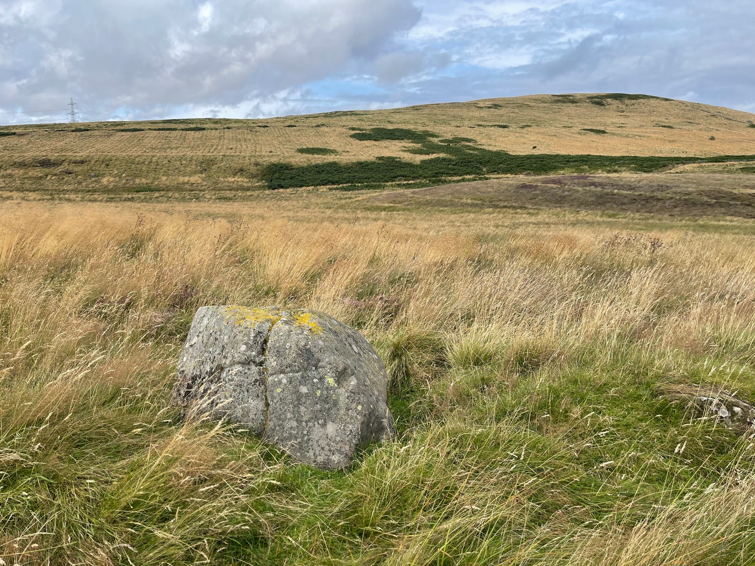
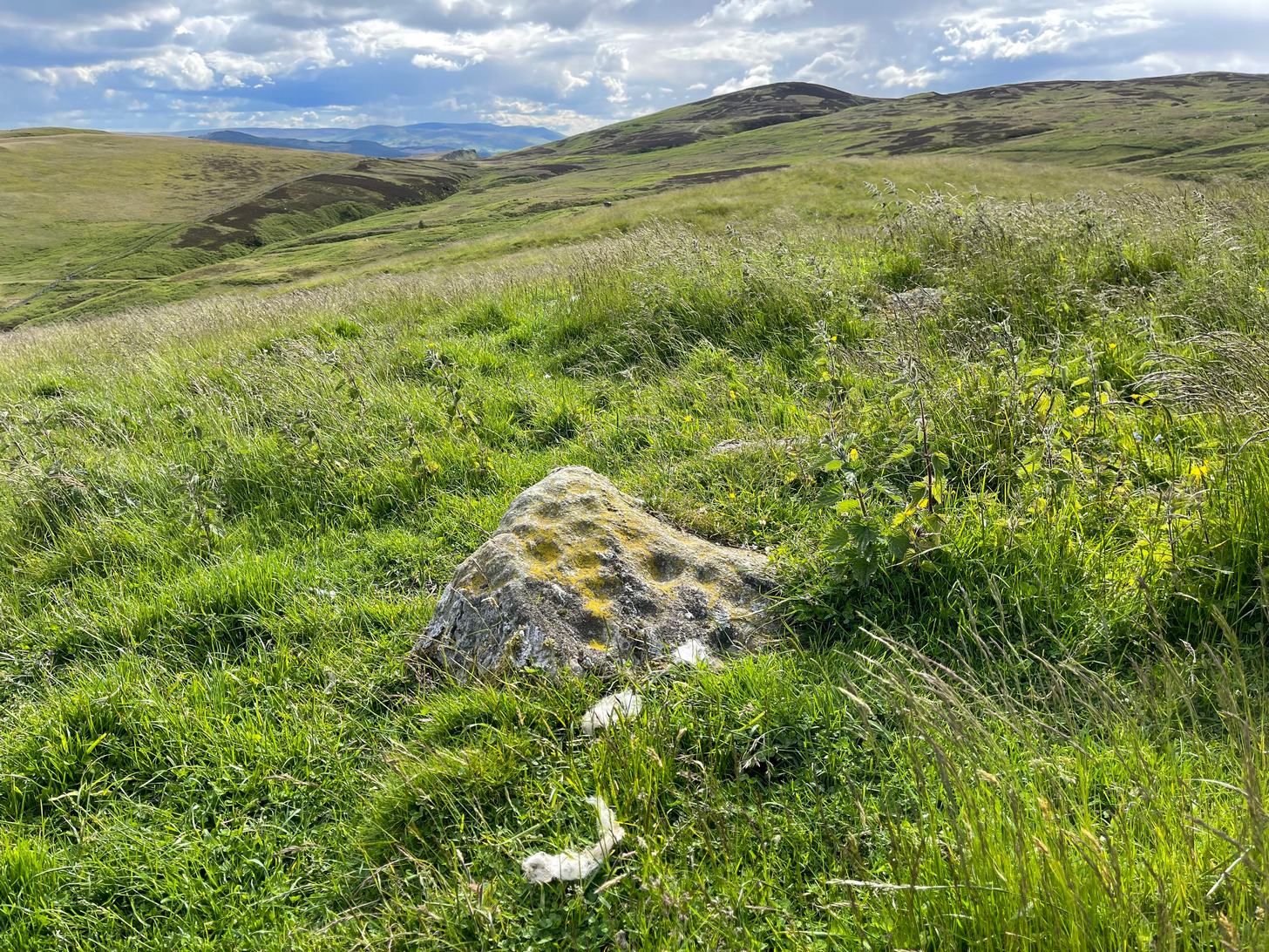
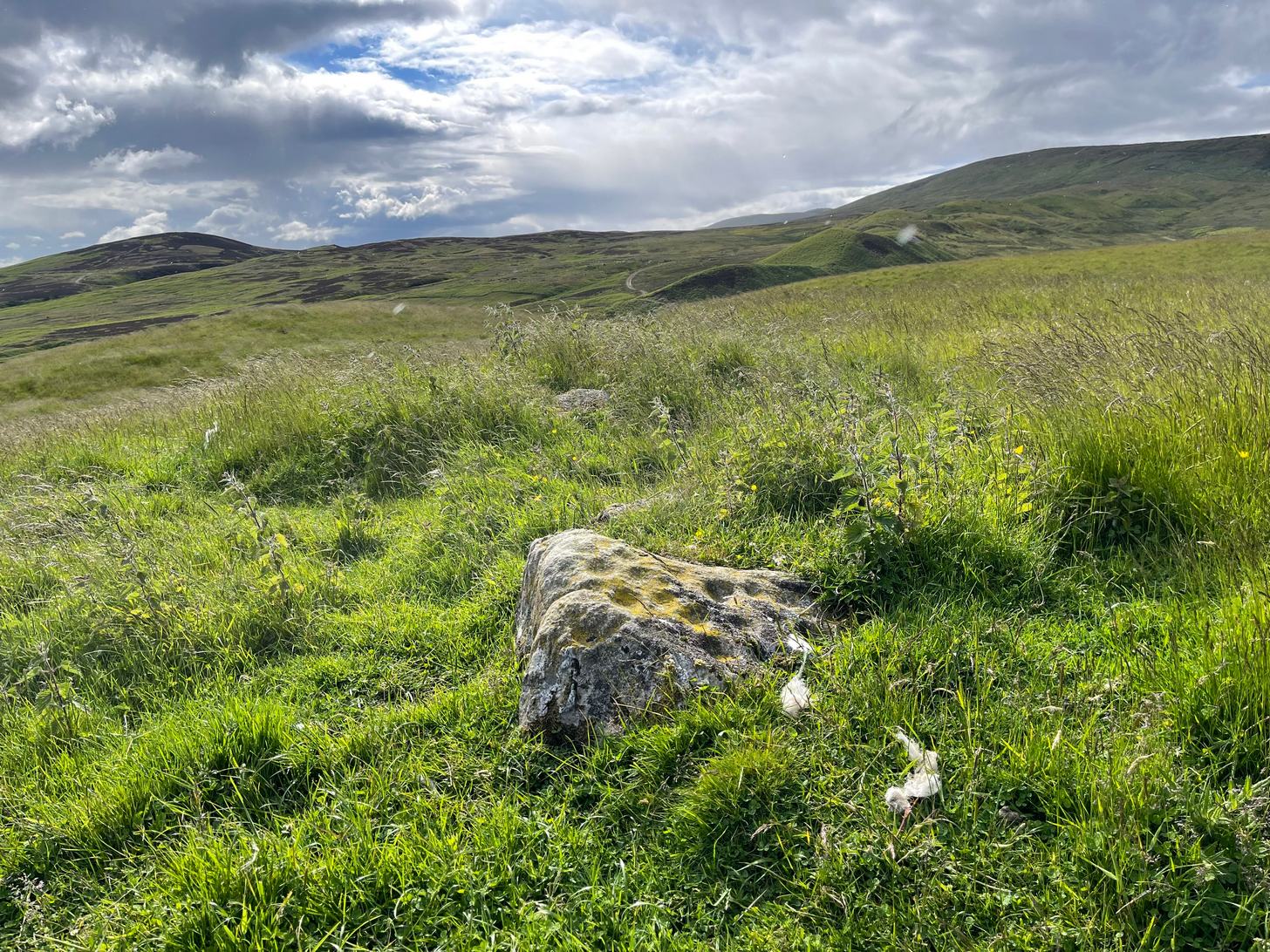
From Fowlis Wester village, head up the road for just over ½ a mile (veering sharp left at a junction) to the dusty car-park on the left-side of the road near the standing stones. From here walk along the track, past the standing stones, veering right to go downhill and cross the burn by the loch near the ruins of Ardoch house; then keeping uphill on the track for another half-mile or so and, just before a split in the dirt-track, you’ll see a reasonably large rounded boulder just a few yards above the track on your right. Y’ can’t really miss it!
Archaeology & History
This previously unrecorded cup-and-ring carving was rediscovered a few years ago by local lady Fiona McLaren: an absolute fount of knowledge when it comes to ancient sites in this area. It’s a pretty basic carving but is certainly worth looking at on your way up to see the much more unusual petroglyph of Ardoch (2).
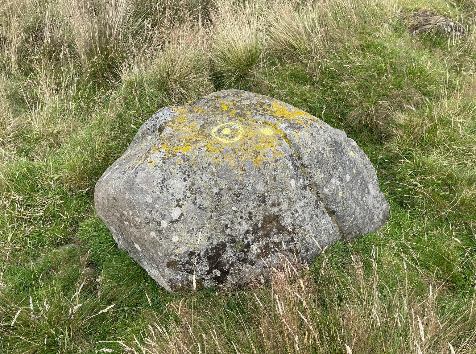
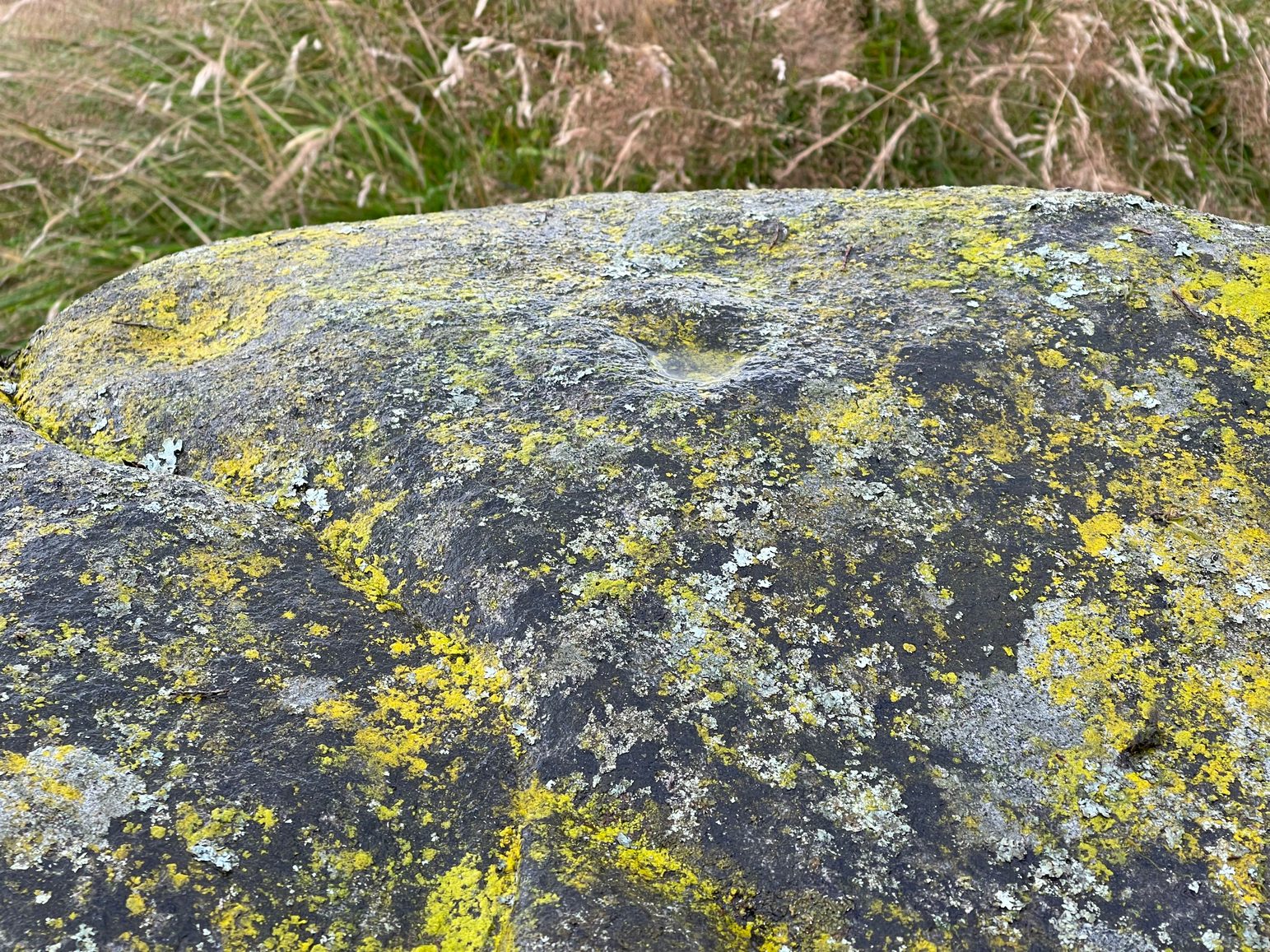
The cup&ring highlightedClose-up of the cup&ring
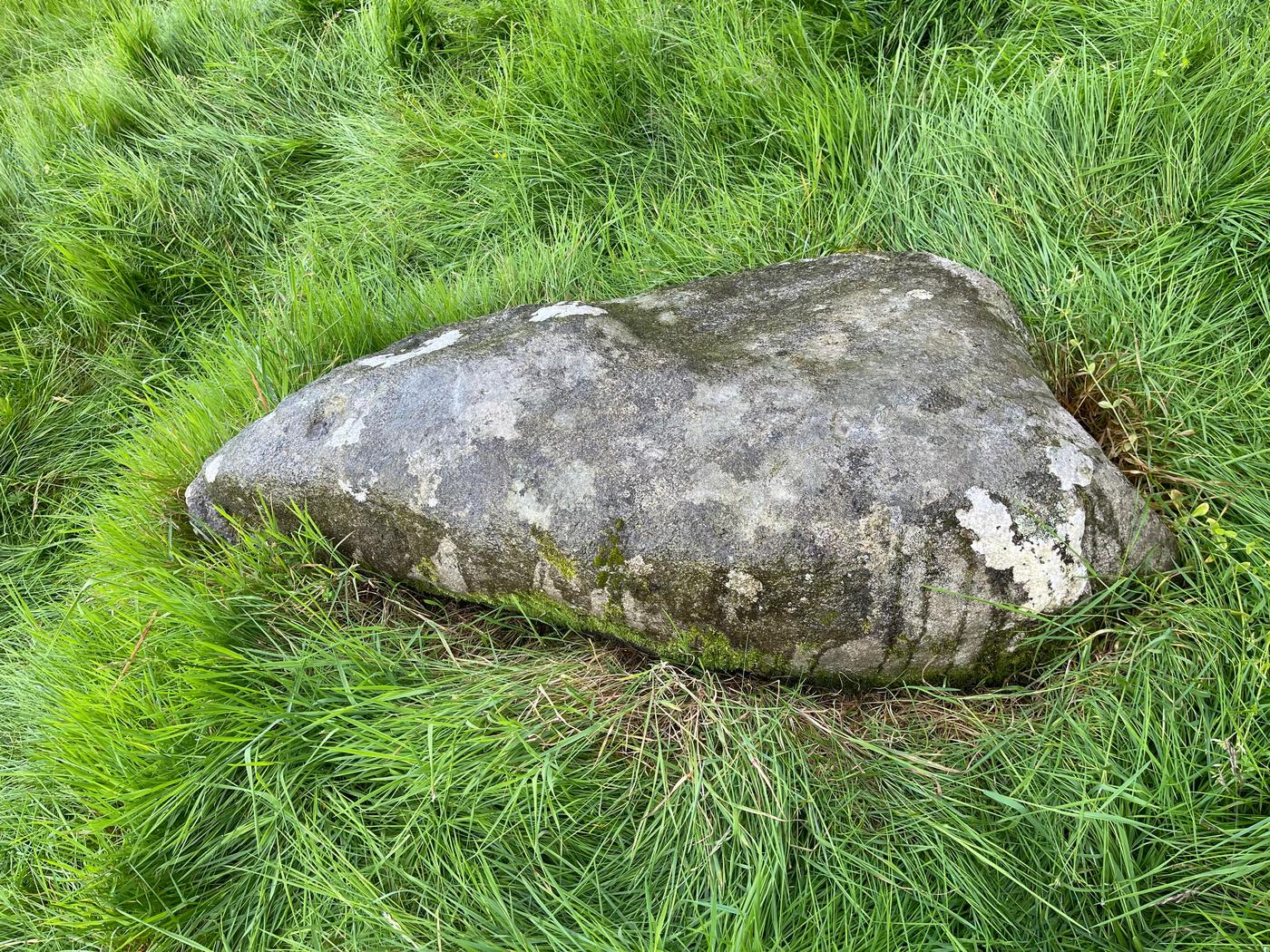
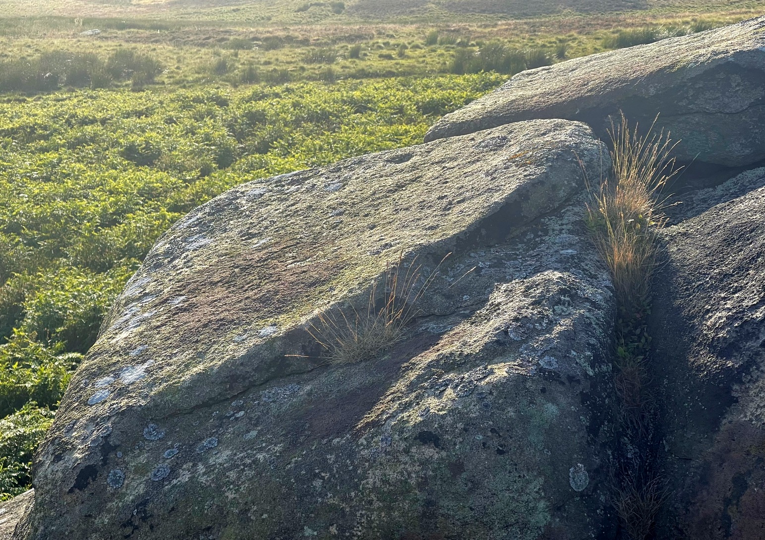
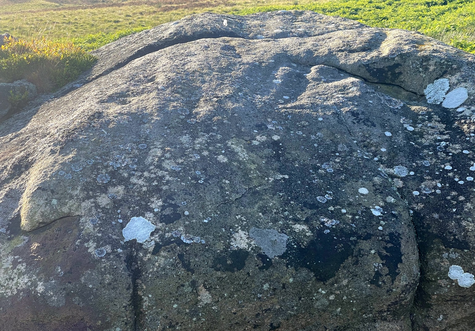
When we visited this stone for the first time recently, the design was difficult to make out due to the grey overcast skies. The first thing you’ll notice is the single cup-marking on the left-side (west) of a natural crack near the top of the rock. It’s pretty easy to make out. But the cup-and-ring immediately left of this is much harder to see—or at least is was when we came here! But spend a bit of time with it, adjusting your sight, wetting the stone and, slowly but surely, you’ll notice the shallow ring surrounding another smaller cup-mark. You can make it out in the photo. A possible smaller cup-mark on the sloping northern face seems more likely to have Nature’s signature on it.
Acknowledgements: Huge thanks to Fiona McLaren of Abercairney for first uncovering this carving and pointing us towards it.
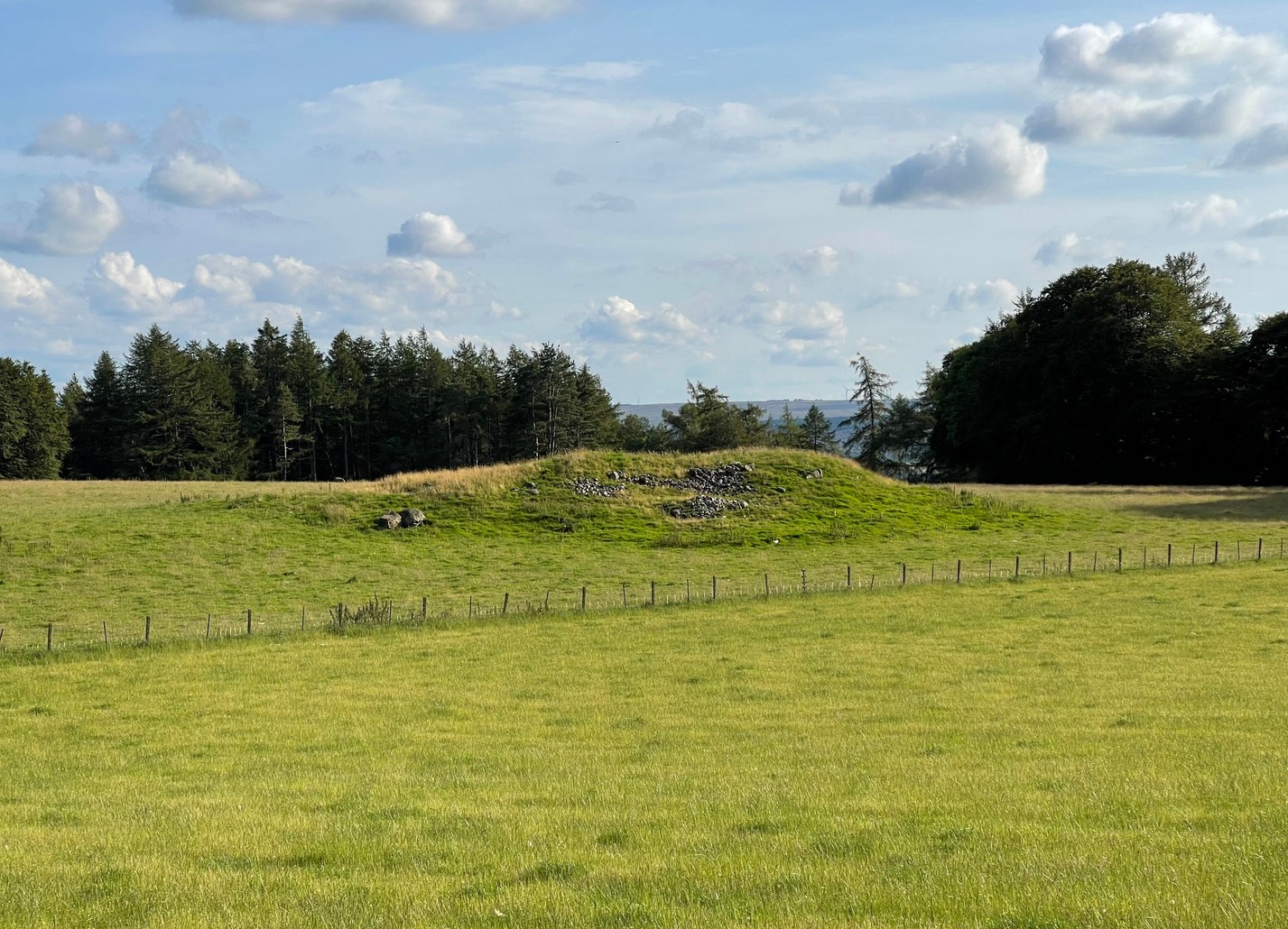
Halfway between the standing stone of Tangy Glen and the cup-marked stone of Allt a’ Ghoirtein, is a rounded hill that has for a long time been turned to farming. On top of here in the 1950s, the President of the Kintyre Antiquarian Society, a Mr Duncan Colville, came across the remains of an ancient burial cist, roughly 200 yards north of Killarow Farm. A short account of the find was written by Mr & Mrs Scott (1957) based on Colville’s description. They wrote:
“The cist, 3ft 8in long by 1 ft 11in wide at maximum, and about 2ft deep, had a stone-lined bottom and was covered by a slab originally 5ft 6in by 3ft in size, but now split into two. The cover slab lay not far below the surface, and there was no sign of a cairn. The cist had obviously been rifled, for a layer of clay at the bottom contained fragments of coal and modern glass; on the other hand, a few pieces of cremated bone may have been part of the original burial.”
When the Royal Commission (1971) dudes visited the site a few years later, they could find no remains of it. The cist is believed to have been covered over and remains hidden underground.
References:
Royal Commission Ancient & Historical Monuments of Scotland, Argyll – volume 1: Kintyre, HMSO: Edinburgh 1971.
Standing Stone (destroyed): OS Grid Reference – NN 8655 2079
Archaeology & History
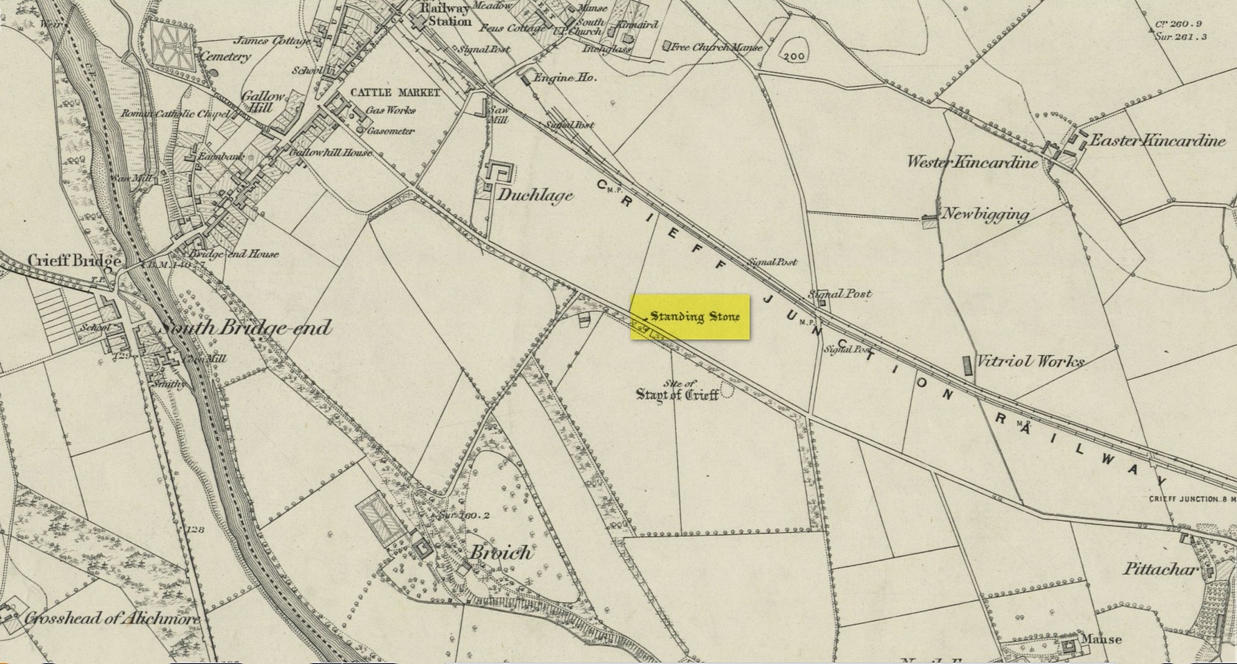
Site on the 1866 map
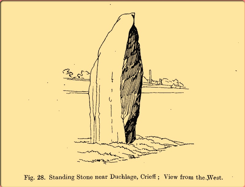
There is seemingly no trace left of this once impressive tall, slender standing stone that had lived for thousands of years on the south-side of Crieff. It was destroyed by some retard in the middle of the 20th century (anyone know their name?). Highlighted on the 1866 Ordnance Survey map of the area, it was visited and described by the late great Fred Coles (1911) when it still stood at the side of the road. He told that it was,
“In shape a narrow rhomboid at the base, this Stone rises to an acute angle at a height of 6 feet. Its longer axis is E.S.E. 52° by W.N.W. 52°, and in basal girth it measures 8 feet 11 inches.”
Coles’ 1911 sketch
Some 200 yards to the south-east there used to be the curiously-named Stayt of Crieff burial mound which had been used as a court hill for many centuries. This outlying standing stone may have been the “witness” on which oaths were sworn before the court. Sadly the history of the Stayt of Crieff mound is also somewhat sparse and it too has, appallingly, been destroyed. The destruction of these antiquities and their ancient traditions is nothing short of a fucking disgrace.
Finlayson, Andrew, The Stones of Strathearn, One Tree Island: Comrie 2010.
Acknowledgements:Huge thanks for use of the Ordnance Survey map in this site profile, reproduced with the kind permission of the National Library of Scotland.
Cup-and-Ring Stone (lost): OS Grid Reference – NT 482 214
Also Known as:
Blackcastle Hill
Getting Here
Archaeology & History
Despite there being a number of references to this carving, it would seem to have been lost. First described by James Elliot (1967) in the Discovery & Excavation journal , albeit briefly, he told that,
“A cup-marked stone which was found on this farm several years ago, has been recently identified as a “cup within a cup” type. (It was) retained by finder.”
But there was some initial confusion about its general whereabouts when Ron Morris (1967) gave a brief note of what seemed to be an additional carving in the same edition of the 1967 journal, telling us that at nearly Blackcastle Hill there existed the following:
“Small gritstone boulder, truncated-cone-shaped, having on its top surface a “cup-and-ring”, composed of a “saucer” 4½in diameter, within its centre a much deeper and clearly defined “cup”, 2in diameter. Depth 1¼in. Now removed for safety by J. W. Elliot to Whinfield Sawmill yard, Whinfield Road, Selkirk.”
As it turned out, both Elliot and Morris’s separate entries were talking about the same stone. Morris subsequently clarified this when he came to describe the petroglyph in his survey of Southern Scotland. (1981) He reported then that the carving was “beside the house’s porch in the sawmill’s yard” — but it hasn’t been seen since. Does anyone know what’s become of it, or where it might be? If you happen to find it, see if you can get a good photo or two and let us know on our Facebook group.
References:
Elliot, James W., “Synton-Mossend, near Ashkirk: Cup-Marked Stone,” in Discovery & Excavation, Scotland, 1967.
Morris, Ronald W.B., “Blackcastle Hill: Cup Marks,” in Discovery & Excavation, Scotland, 1967.
Morris, Ronald W.B., “The Cup-and-Ring and Similar Early Sculptures of Scotland; Part 2 – The Rest of Scotland except Kintyre,” in Transactions of the Ancient Monuments Society, volume 16, 1969.
Morris, Ronald W.B., The Prehistoric Rock Art of Southern Scotland, BAR: Oxford 1981.
It’s a helluva zigzag to get here. Just out of Crieff along the A85 road to Comrie, turn right up the minor road to Hosh and Glenturret Distillery. Just past the distillery, over the small river bridge, turn left and go up the tiny road for literally ⅔-mile (1.1km) and park up just before the cattle-grid. Naathen, up the slope into the trees at a diagonal behind where you’re parked, walk up and up for half-a-mile where the land levels out and you reach a gate (and my bath, in the undergrowth to your right). A track goes up above the gate (not the one through it) and bends round where, 100 yards up, you reach a gate. Go over it and look at one of the stones in front of you!
Archaeology & History
Very faint cups
This is another one of those petroglyphs that only the purists amongst you will want to see. On the lower section of this typically smooth female stone, you’ll see a singular cup-mark, half-natural half-carved, a couple of inches across, with a less discernible cup-mark of similar dimensions further up the rock, but entirely man-made. When we visited here yesterday, the shadows of the trees above made it very difficult to get any decent photos of the cups. Give it your eye on the journey up to the impressive standing stone of Stonefield a few hundred yards further up the hill; and if you manage to get any good photos, stick ’em on our Facebook group.
Cup-Marked Stone: OS Grid Reference – NN 8515 2484
Archaeology & History
Site of supposed cupmark
There’s little to see here. In the 1990s, students from the Royal Commission found what they described as “a single cupmark”, 3 inches across by 1 inch deep, on a rock measuring 2-feet by 1½ feet, on the north side of this large (seemingly) natural mound with large scatters of field clearance stones all over its northern face. When I visited the place yesterday (on my way to see the impressive Stonefield monolith 260 yards to the north-east), I zigzagged back and forth over the rocky mound and was unable to find it, although it may have been beneath the summer vegetation. A winter visit may prove more fruitful.
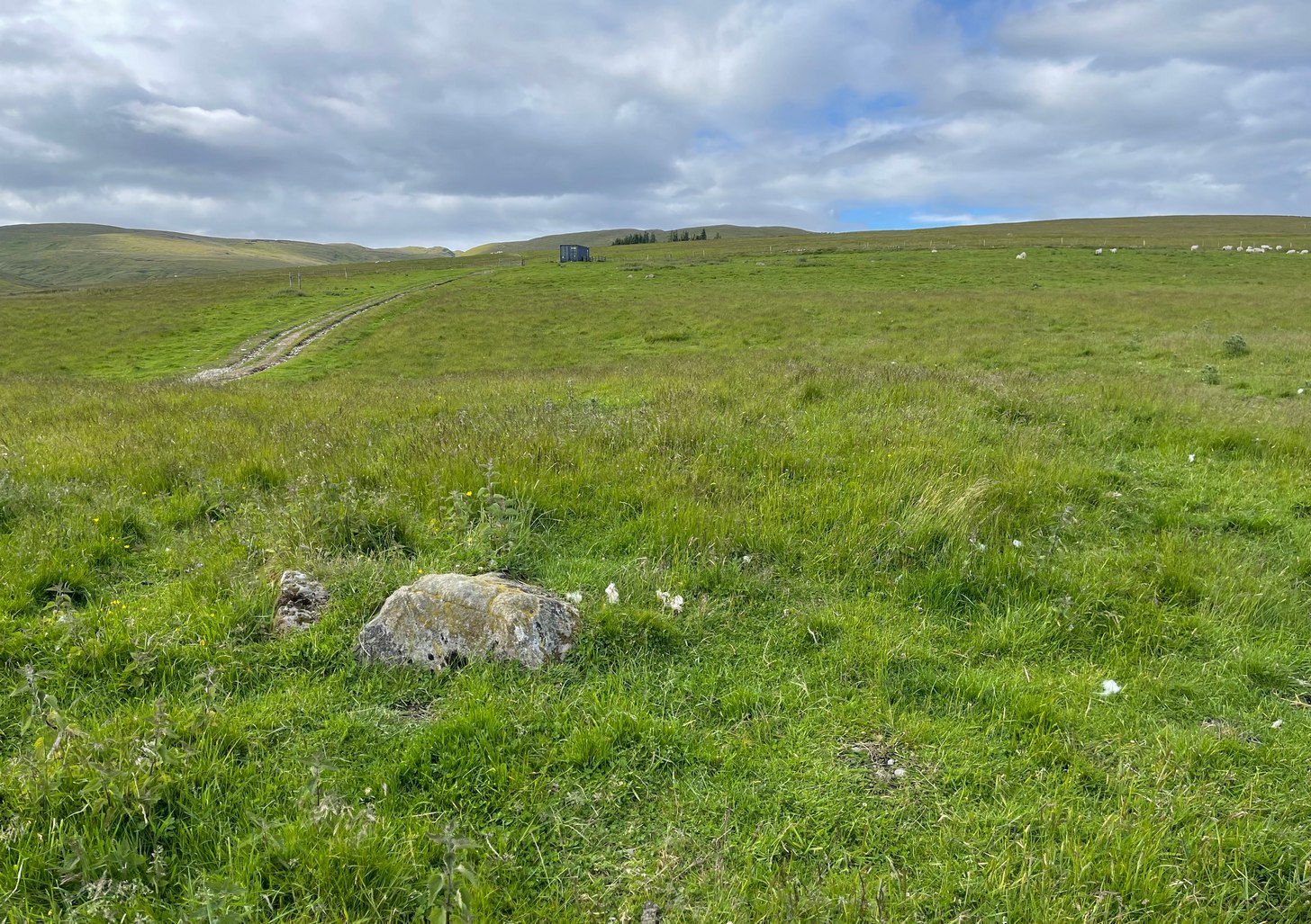
You’re going from Crieff, up the A822 road from the Gilmerton junction and head up towards the Sma’ Glen. And if you’re visiting this stone, you’ve already walked past the carvings of Connachan (2), (4), (5) and (6). So just another 100 yards or so up the dirt-track past Connachan (4), (5) and (6), just where there’s a bend in the track, the land just about levels out (if you’ve reached the gate and fence you’ve gone too far). At this point walk onto the grassland on your right for barely 50 yards, just where the land sweeps back downhill. Look around for a small stone at the edge of some very low indistinct walling. You’ll find it!
Archaeology & History
Cluster of cups
A site that’s shown on the modern OS-map as a “cairn” but which is, by the look of things, actually a hut circle — and a somewhat indistinct hut circle at that! You could very easily walk right through it without even noticing you’d done so. However, the cup-marked stone on the outer edge of its southern wall does grab your attention! Once you’ve found the stone, if you pace round a few times you’ll begin to see the vague outline of this prehistoric, probably Bronze Age abode.
at a slightly different angle
The carving was probably placed here after the hut circle had been built; or perhaps even built deliberately upon the petroglyph itself—but only an excavation would give us the answer. Its incorporation in the hut circle was probably functional, somewhat like the Man Stone carving in North Yorkshire, which is found at the doorway there. But this site is in such a state of neglect (and is somewhat overgrown) that I couldn’t ascertain whether it was at the entrance or not. If it was, then most likely there was a mythic relationship between the design of the cups and the person who lived therein. This relationship was probably a long standing traditional one attached to a particular family, or tribal leader, or even a shaman figure which no doubt stretched over many centuries. (as seems likely with the aforementioned Man Stone)
The carving itself is somewhat basic, as you can see, comprising of a small irregular cluster of between 18 and 20 tightly packed cups on a small stone. The hut circle is about 14 yards across. About 100 yards to the east is a severely robbed-out cairn.
References:
Stewart, Margaret E.C., “Connachan, Crieff – Cup Marks and Hut Circle,” in Discovery & Excavation, Scotland, 1967.
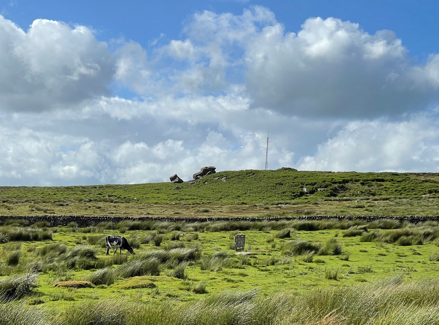
The easiest way to get reach here is via the Doubler Stones, which is usually approached either from the long and winding country lanes Silsden-side (you can’t drive all the way and there are hardly any parking spots en route), or from a long walk over the moors. Taking the latter route, probably the easiest is by starting at Whetstone Gate right on the moortop, on the Ilkley-Keighley road. From here, walk west along the footpath by the wallside for more than ½-mile until you reach the West Buckstones. From here, take the footpath NW (not SW) alongside the walling for literally one mile, where a notable angular skewing of three walls appears: keep to the left and walk alongside that wall for another ⅓-mile (0.5km) then climb over the wall and head straight for the small TV mast. The Giant’s Chair’s just below it.
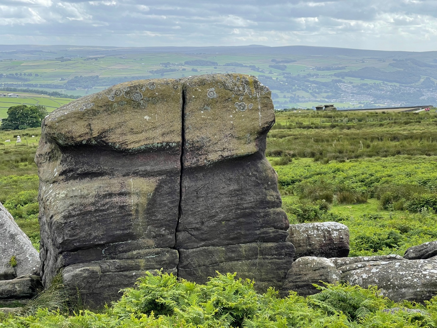
Some time in the mid- to late-1970s, on one of our early ventures to see the legendary Doubler Stones, this great rock outcrop of the Giant’s Chair also, understandably, drew our attention. And, as young fertile teenage lads, we all but flew up onto the top of this great rocky rise with relative ease. Now, nearly fifty years later, I’m unable to climb onto its top without ropes. (sigh….) It’s not easy. Anyhow, when we were on top of this rock as kids, a number of notable cup-markings stood out to us—in no distinct order, as I recall. But on the day of our clambering visit, She was grey and overcast; as She was on the two or three other visits we made to the stone, sitting on its top, fondling the cup-marks and eating our sarnies. All that I ever noticed were the cup-markings.
A few years after my early visits here, John Hedges (1986) wrote about this “very large high rock.” He mentioneed the cup-markings, obviously, but he also mentioned some things that we’d missed, saying that here are,
“Six large shallow worn cups, one with (a) partial ring and another with possible ring. One cup on SW end.”
Single cup-mark (?)One of the cup-and-rings (?), top-left
Sadly, I’ve never seen these rings and, these days, my ageing bones might not allow me back onto its surface to see them. (the expression, “sad bastard” comes to mind!) On a recent visit here with Sarah Walker of Silsden, neither of us could get our useless arses on top! (the photos taken here were done with me stood on top of an adjacent rock, hands held high, trying to get at least some elements of the carving—with a minor bit of success, I think) I take comfort in the fact that when Boughey & Vickerman (2003) subsequently added this carving in their enlarged inventory, that they never got to see them either, as they gave it the completely wrong grid-reference! And so, due to the ineptitude of us old folk, I await some younger and more competent explorers who can climb up on top and send us some good photos of the design, when weather and lighting conditions allow for good imagery. Are there any takers…?
References:
Boughey, Keith & Vickerman, E.A., Prehistoric Rock Art of the West Riding, WYAS: Wakefield 2003.
Deacon, Vivien, The Rock Art Landscapes of Rombalds Moor, West Yorkshire, ArchaeoPress: Oxford 2020.
Hedges, John (ed.), The Carved Rocks on Rombalds Moor, WYMCC: Wakefield 1986.
Acknowledgements: Big thanks to Sarah Walker for helping, albeit unsuccessfully, to scale this old rock to see the cup-and-rings on my last visit here. At least we tried…
Cup-Marked Stone (missing): OS Grid Reference – ND 04321 56794
Archaeology & History
When Alastair MacLaren (1955) first excavated an Iron Age hut circle just above the northern edge of Loch Shurrery, he found, “from the tumble of the wall came a cup marked stone.” It emerged from southwestern side of this habitation site, on a small portable-sized stone, and consisted of just a single distinct cup-mark. When the site came to be re-examined many years later, it had gone. MacLaren was of the opinion that the stone had merely “served as core material and was of no other significance to the builders of the hut circle than just a handy bit of rubble to fill the space between the inner and outer faces.” This may have been the case; although it may have originally been carried from one of the many chambered cairns in the region.
Maypole (destroyed): OS Grid Reference – SU 655 781
Archaeology & History
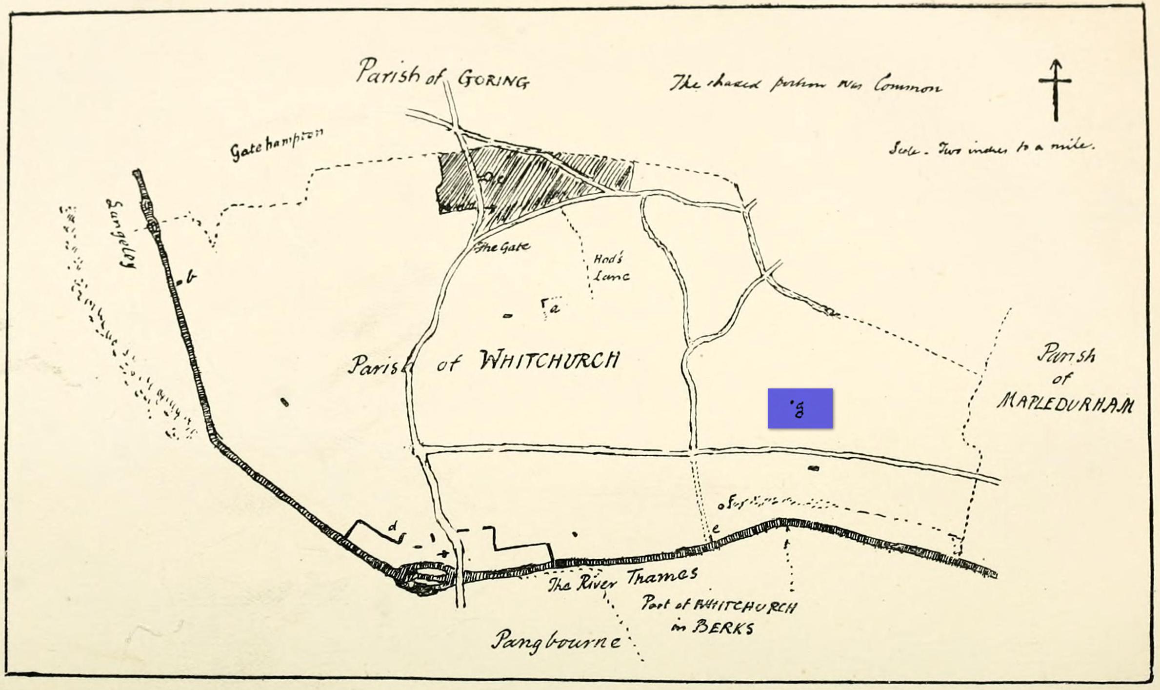
“g” marks the spot!
Very little is known about the history surrounding Whitchurch’s maypole that once stood more than a mile east of the village, somewhere in the woods immediately south of the present-day cannabis-growing Hempem Organics. (damn those hippies!) Mentioned in the Enclosure Acts of 1806 and 1813 as the “May Pole Ground”, the monument was mentioned in the Rev. John Slatter’s (1895) local history work and its approximate location was shown on a hand-drawn map he did of the area, in the grounds north of Hardwick House. He told us that it stood on “an elevated site” and conjectured that it might once have been a place of druidical worship!
“In the centre of the Hardwick property is a plot of ground called the Maypole Piece…. It is an open space, with a tree standing alone, where we may suppose the maypole formerly stood. There is a memorandum made by the last Mrs. Lybbe (nee Isabella Twysden) to this effect:
1713: A maypole set up on ye hill in ye straight way to Collinsend.”
In the event that you manage to discover anything else about the history of this maypole, let us know on our Facebook group.
References:
Gelling, Margaret, The Place-Names of Oxfordshire – volume 1, Cambridge University Press 1953.
Slattter, John, Notes on the History of the Parish of Whitchurch, Elliot Stock: London 1895.