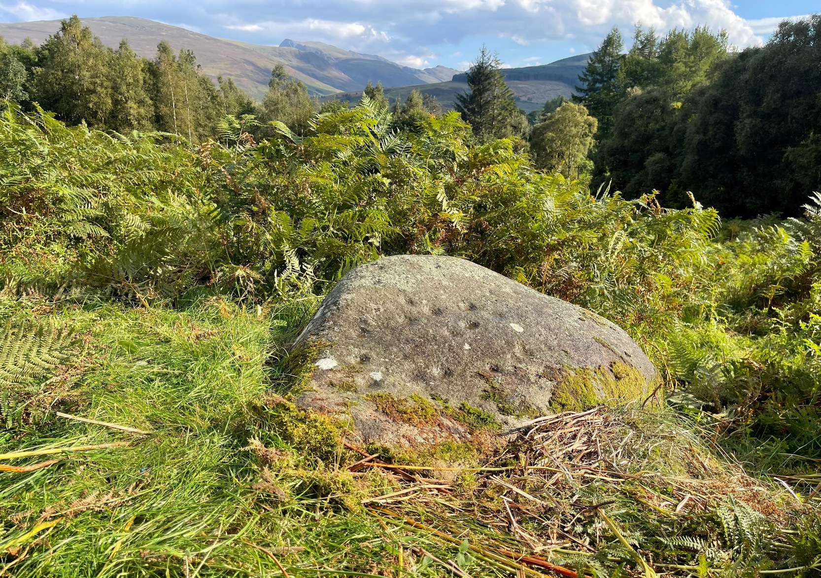
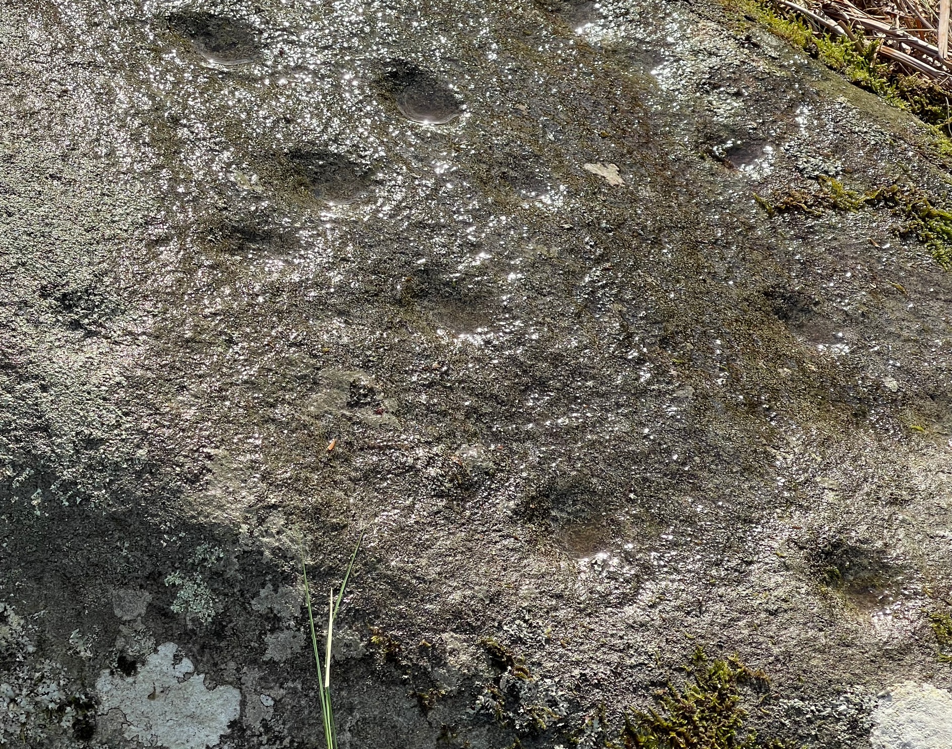
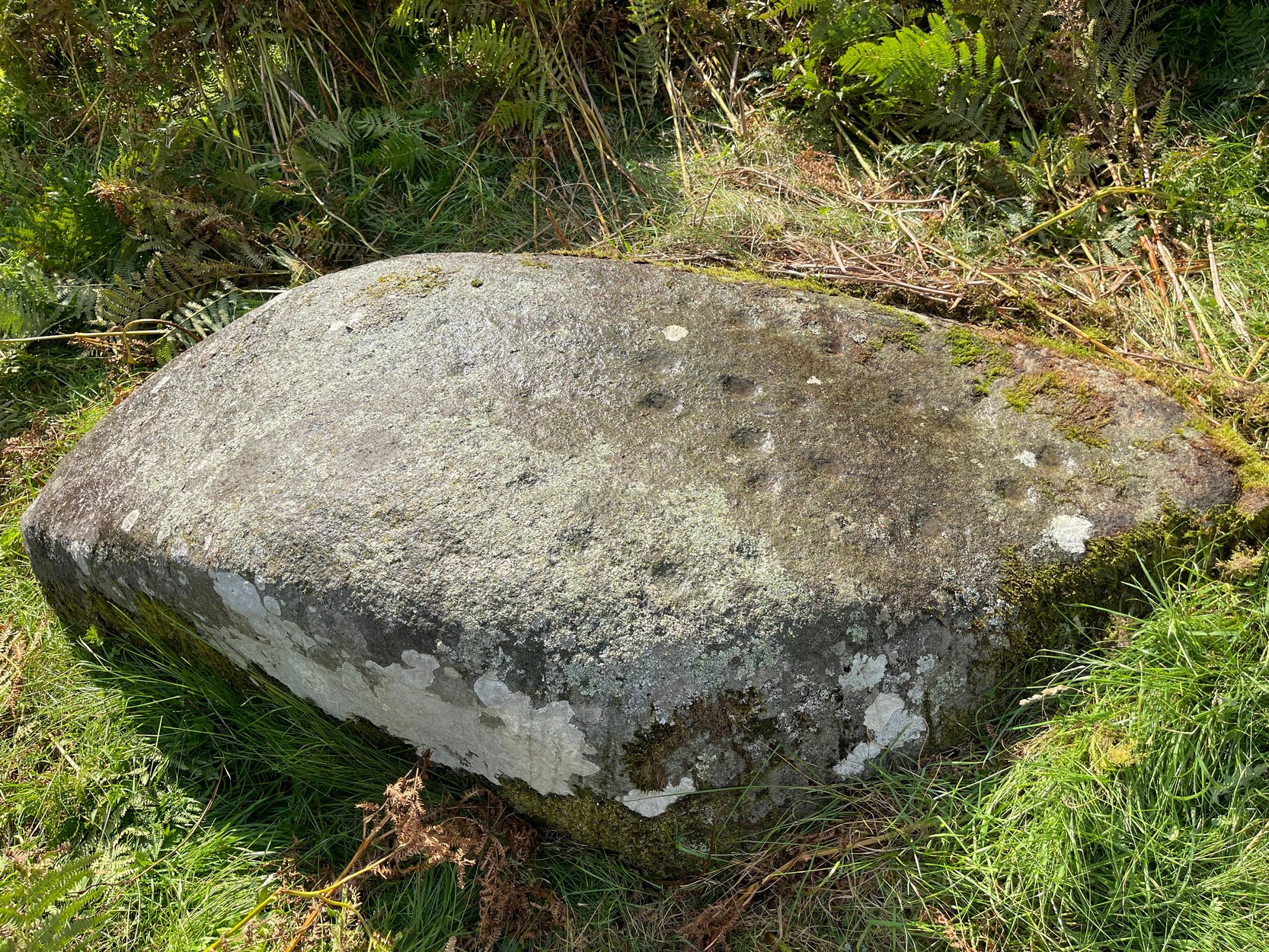
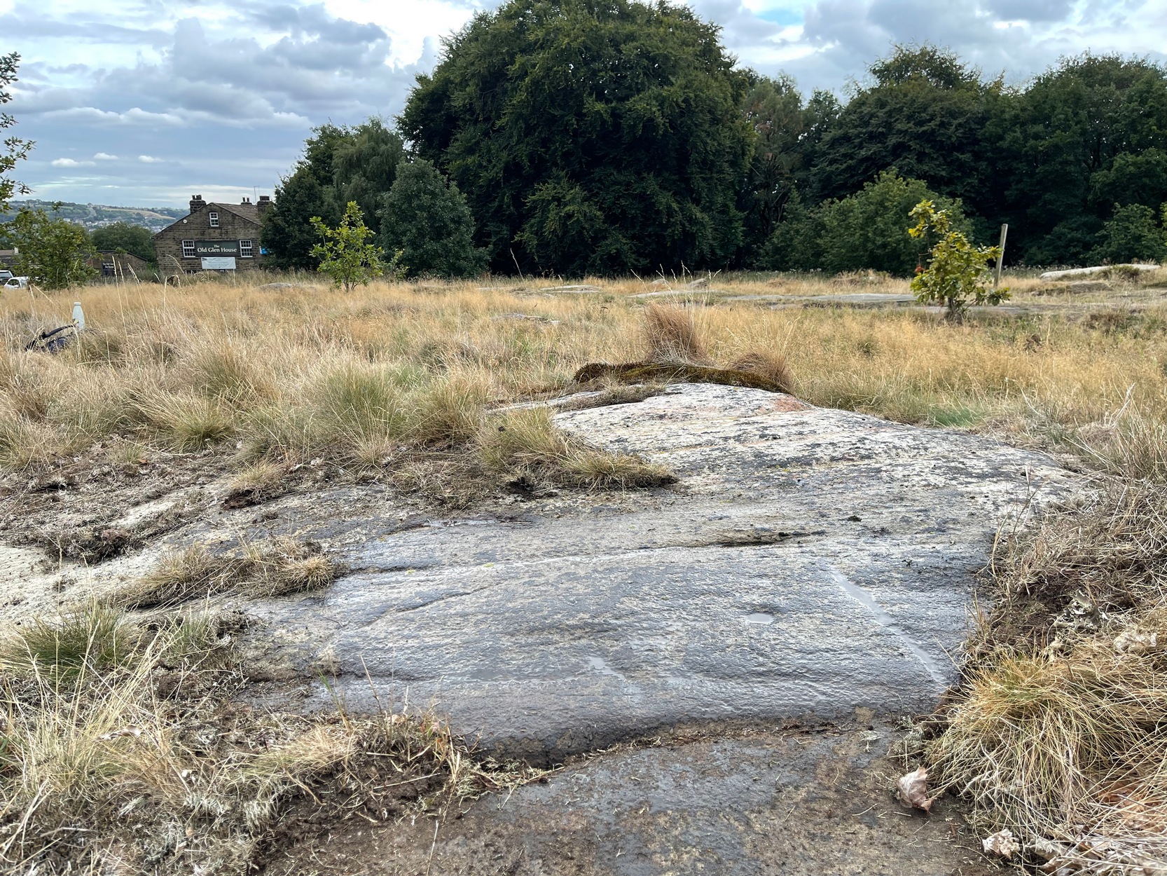
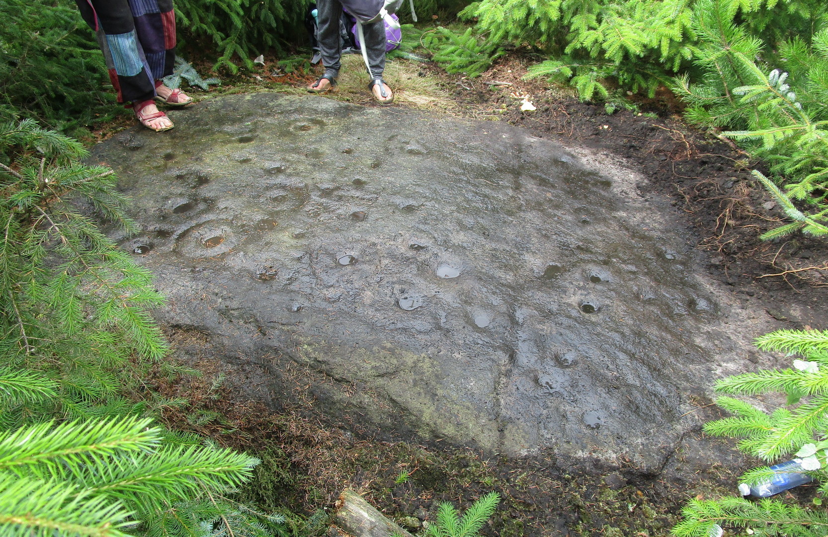
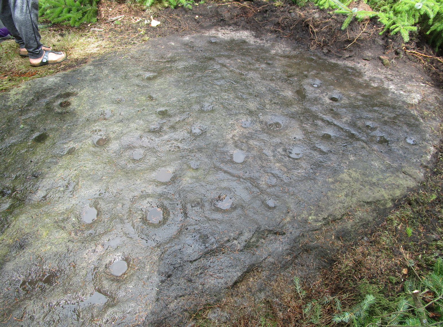
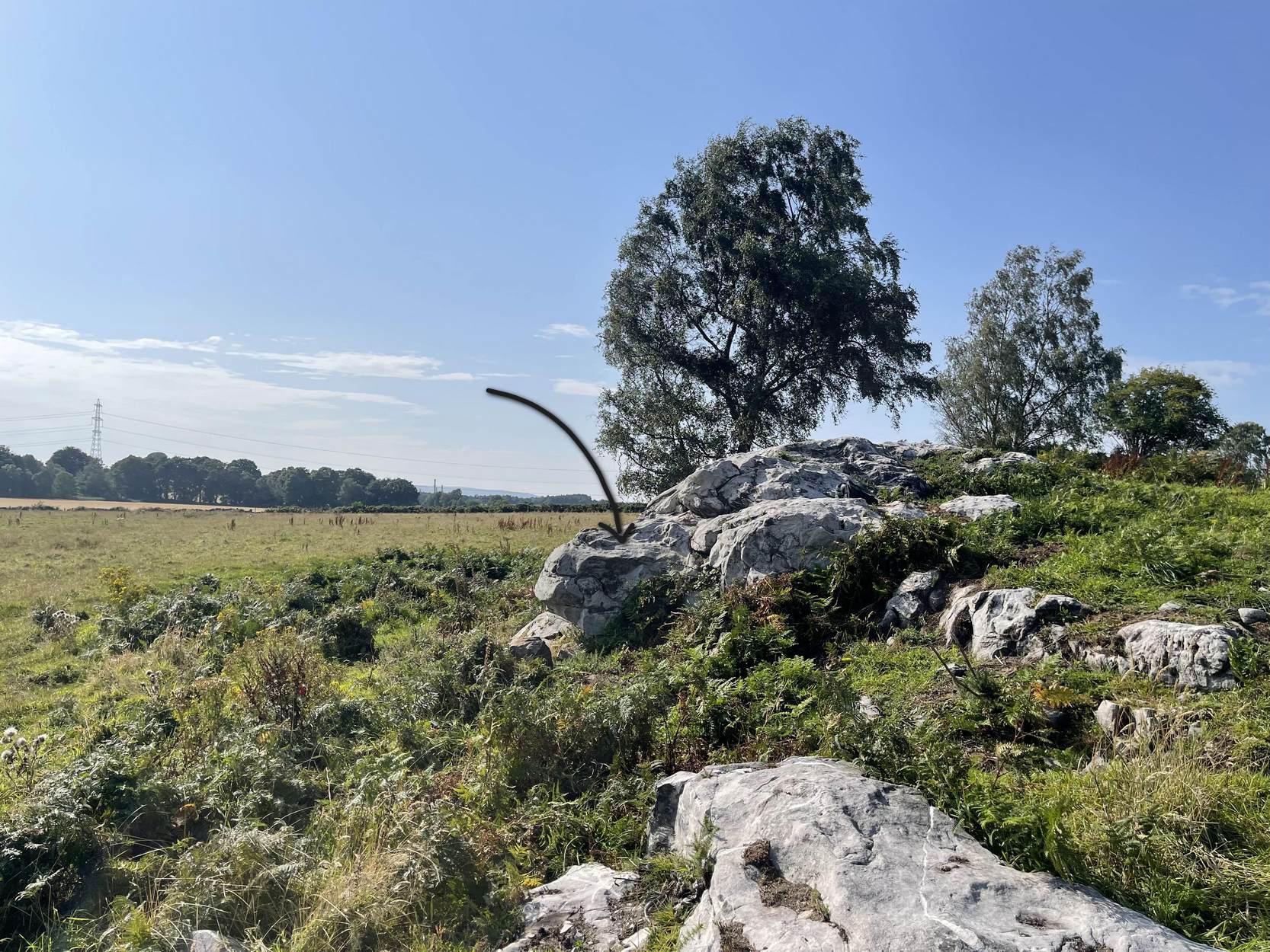
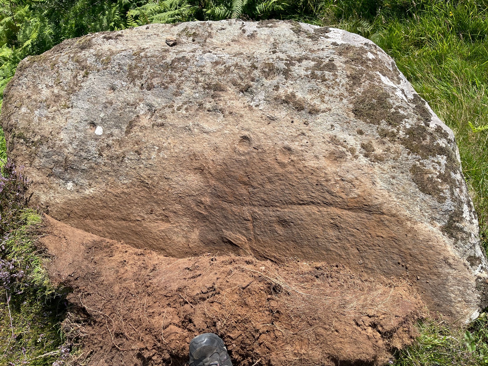
Cup-Marked Stone (destroyed?): OS Grid Reference – NN 8575 4901
Also Known as:
- Clachmore
Archaeology & History
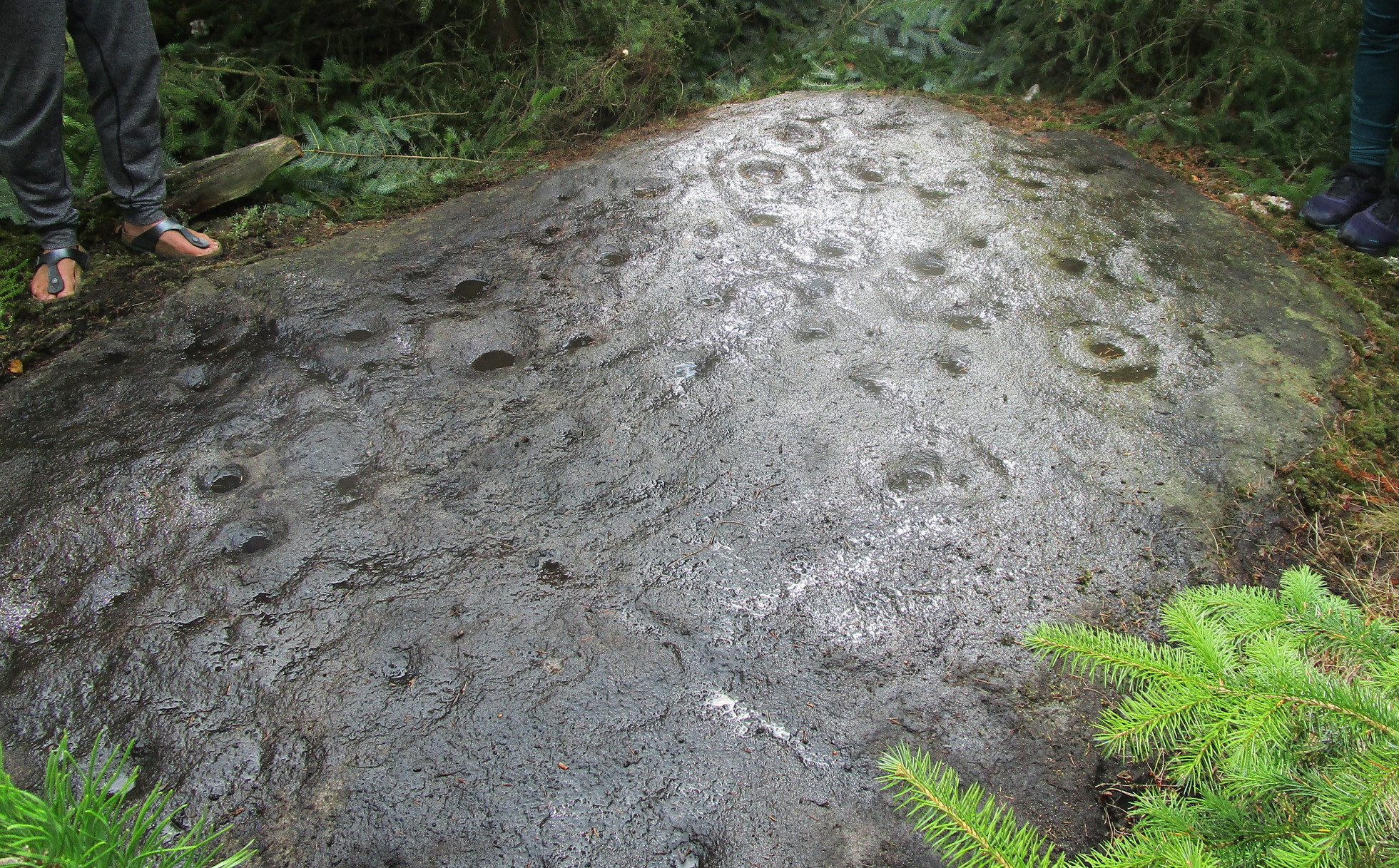
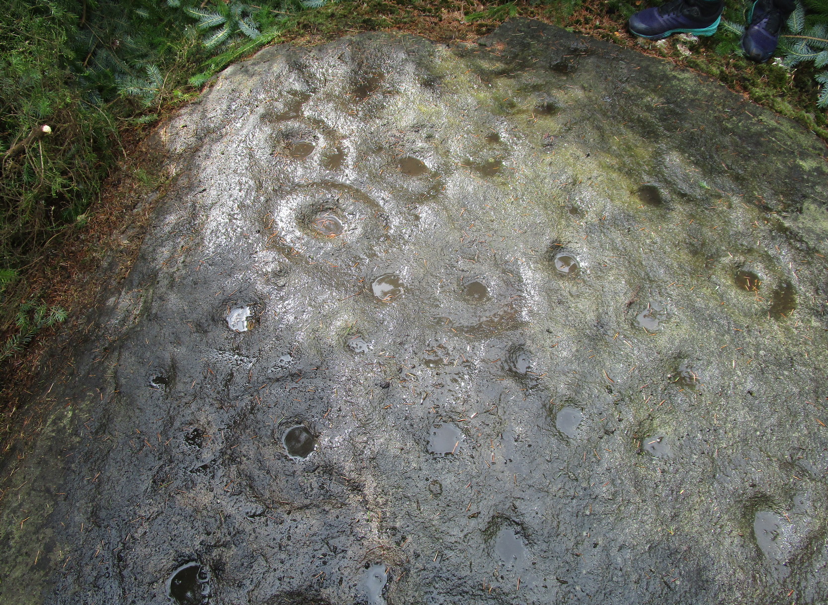
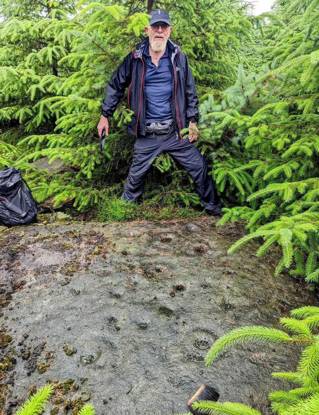
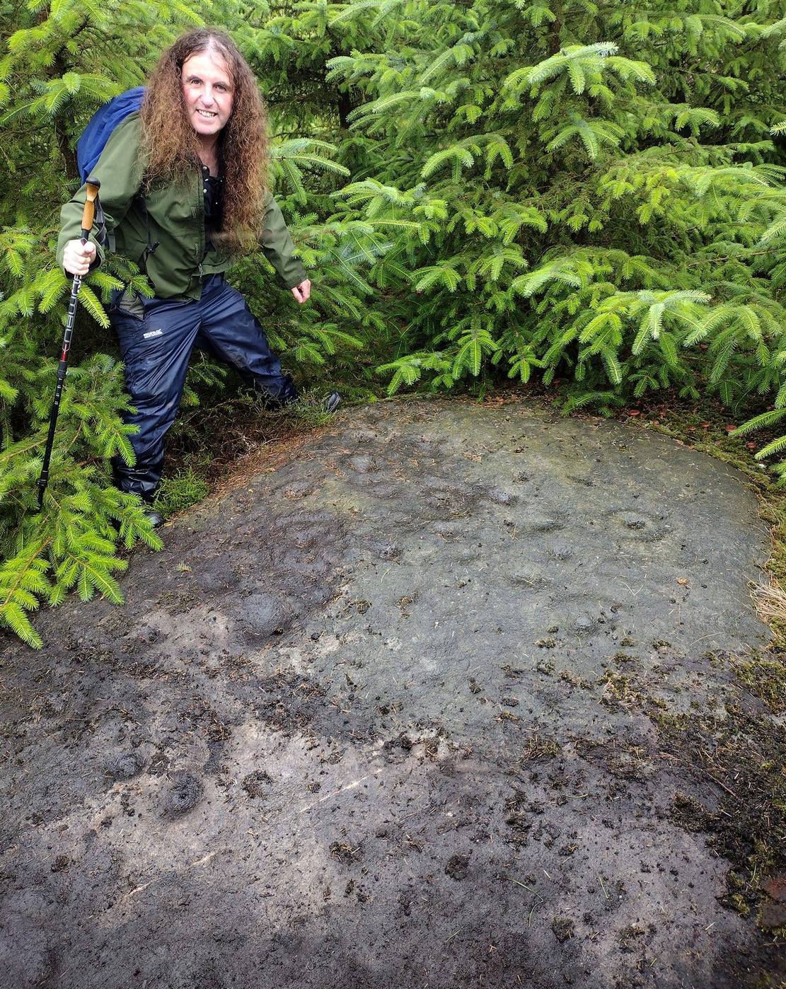
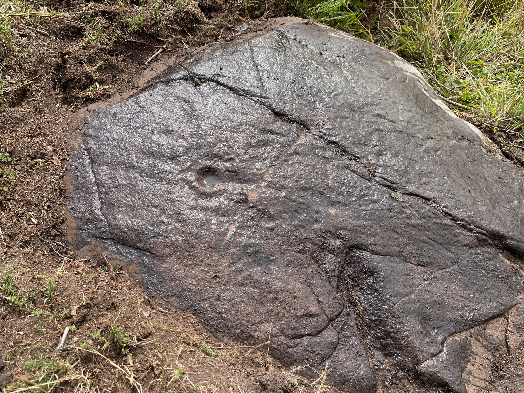
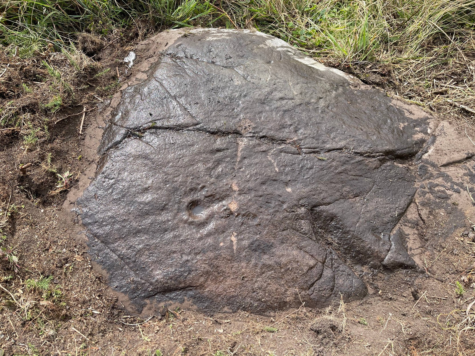
The Clach Mhor, or the Big Stone, is all but forgotten as an antiquarian relic in Aberfeldy. It’s history is somewhat piecemeal. First described in Hugh MacMillan (1884)’s essay on local cup-and-ring stones, he told that:
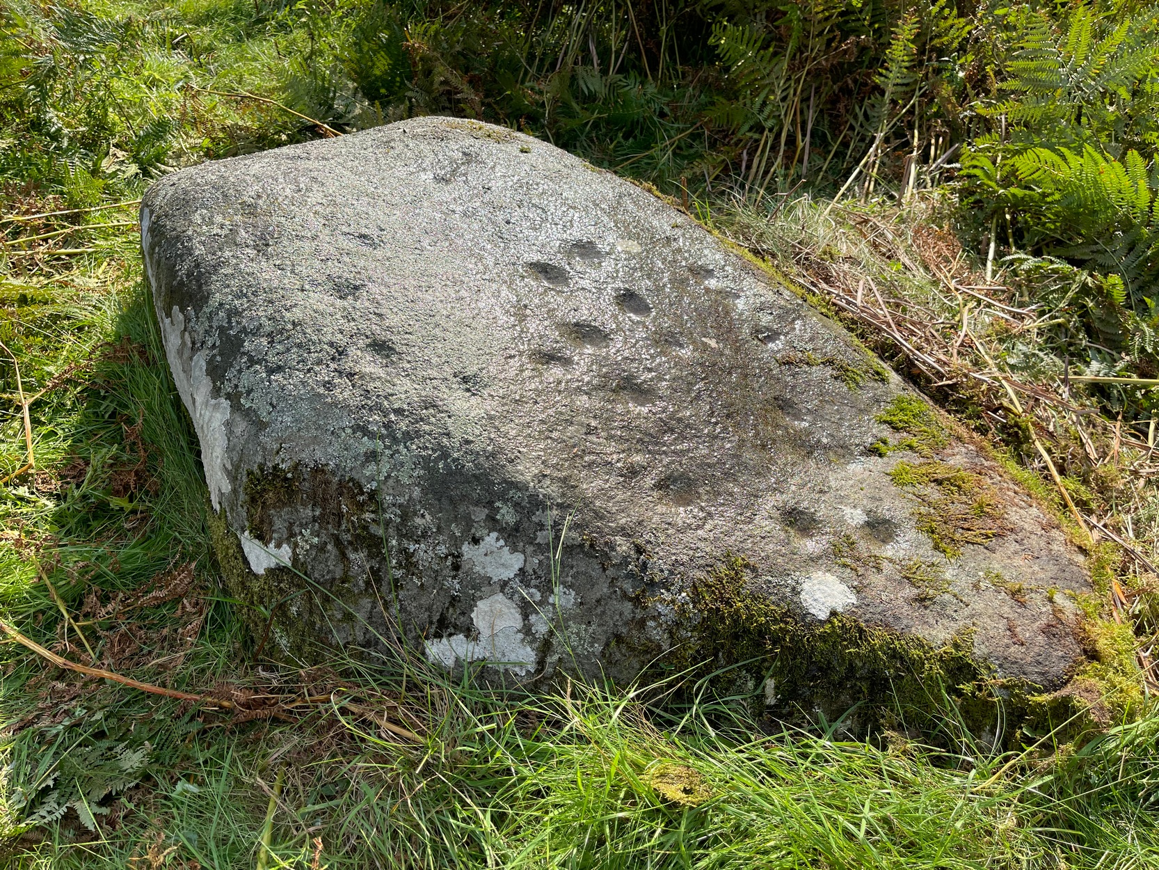
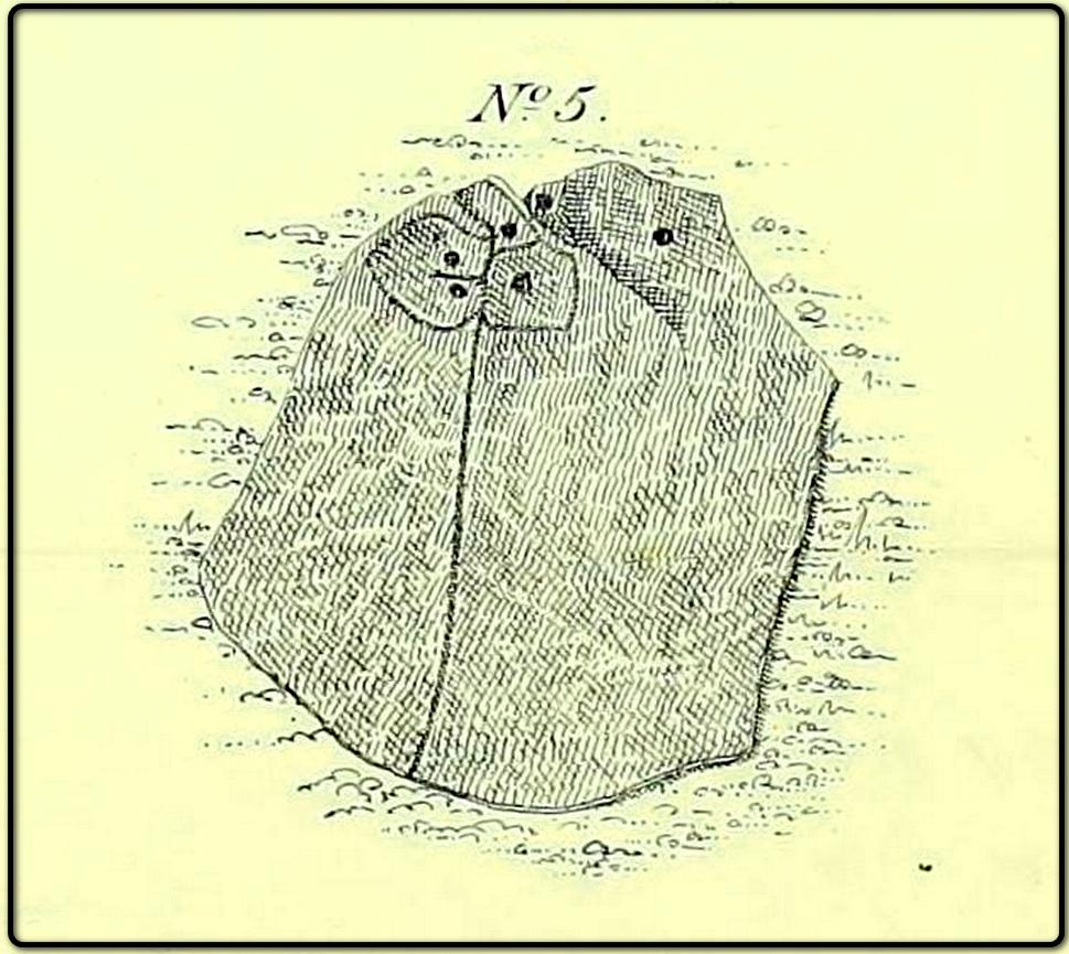
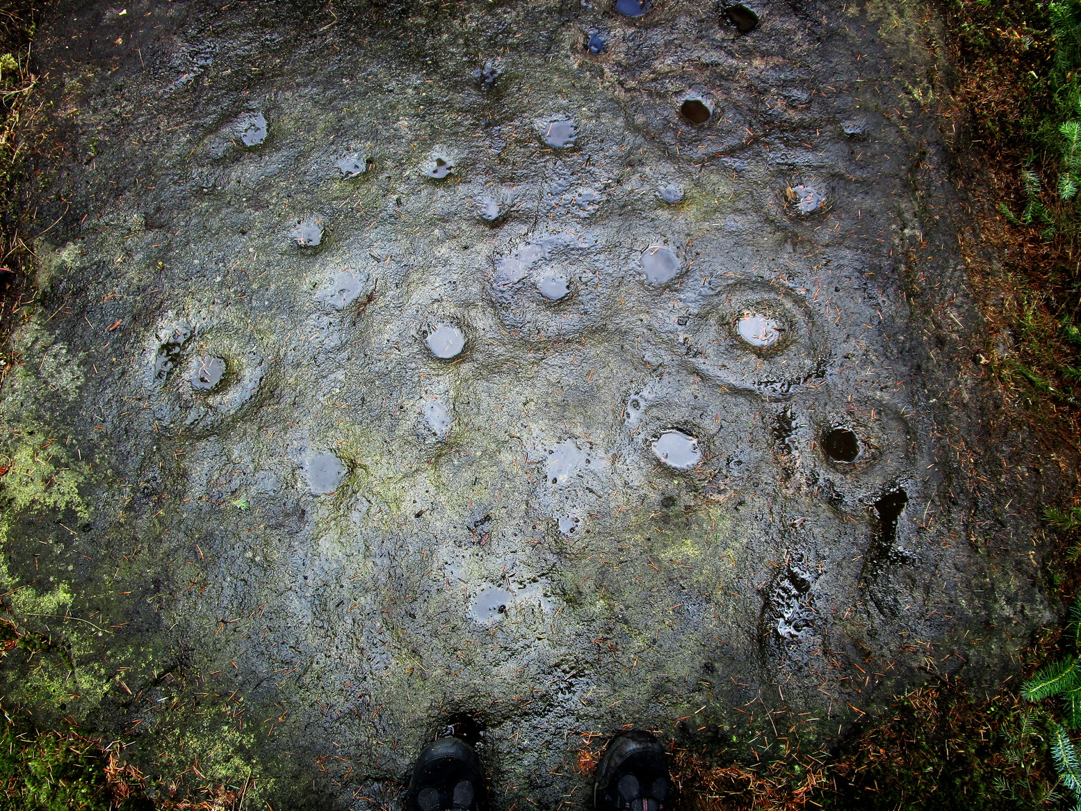
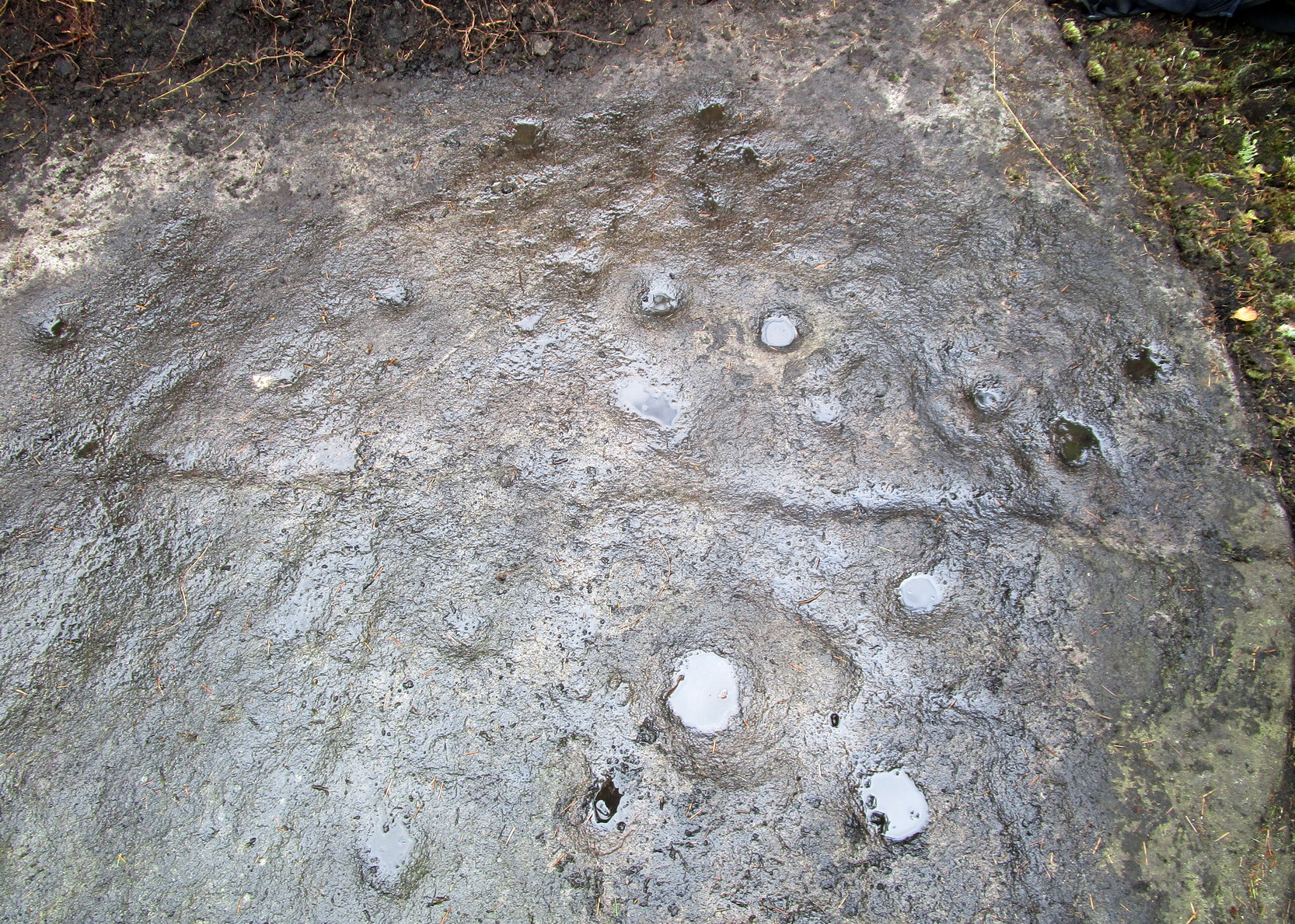
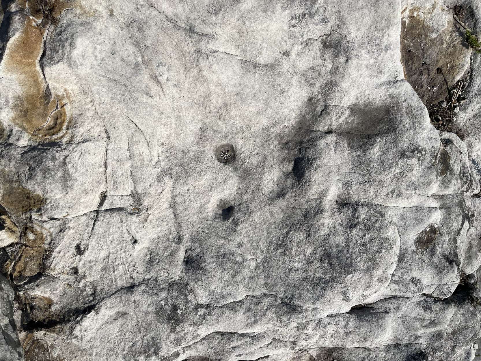
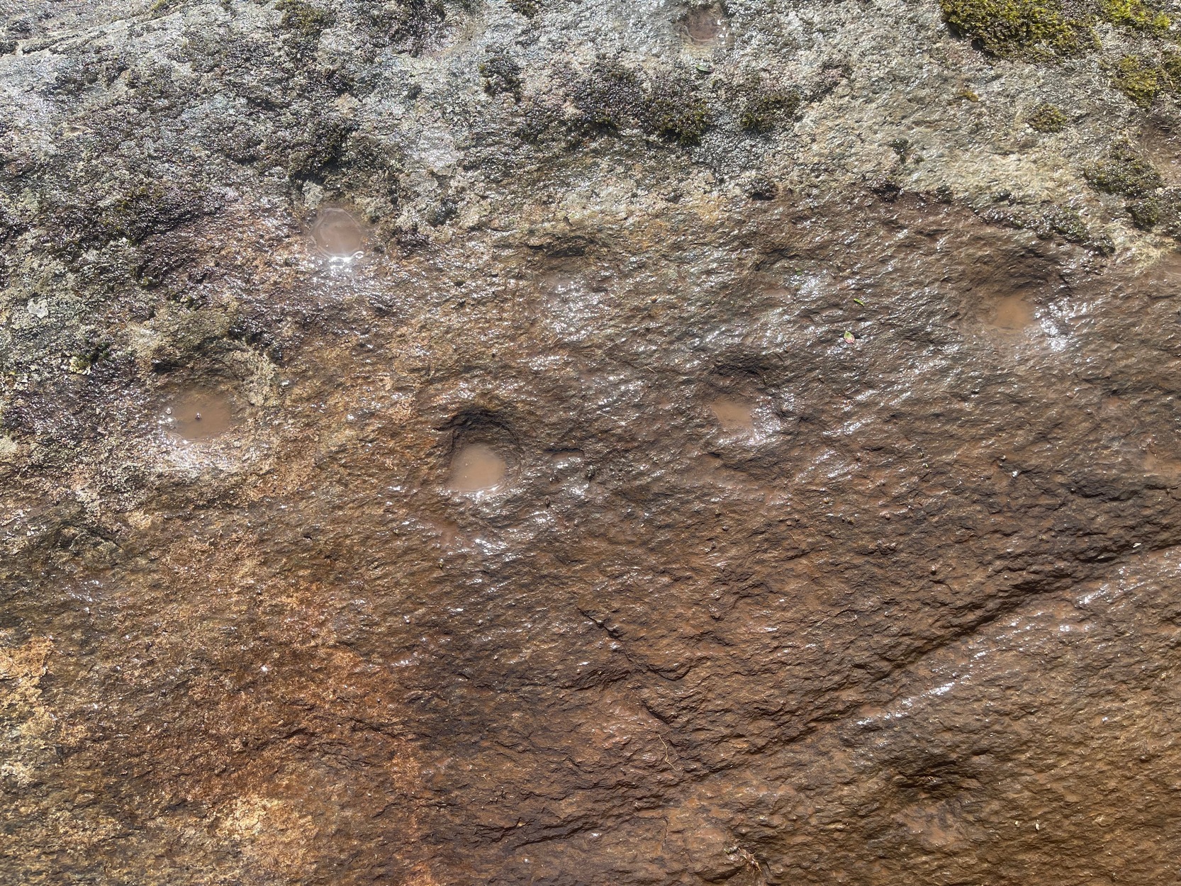
“A short distance above the village of Aberfeldy, where General Wade’s old road emerges from the houses, a huge stone, called the Clach Mhor, lies on the left-hand side in a slanting position half erect, as if supported by the garden wall of which it forms a part. …In all likelihood it originally stood erect, and formed one of a group of similar stones, its companions having been broken up in the formation of the road. …On the upper face there are some small cup-markings, not quite so well formed as usual, owing to the hardness of the material… The fact that they occur on only one side of the stone, and are scattered indiscriminately all over its surface, are sufficient to convince any one who is skilled in the subject that they are genuine specimens of prehistoric sculpture.”
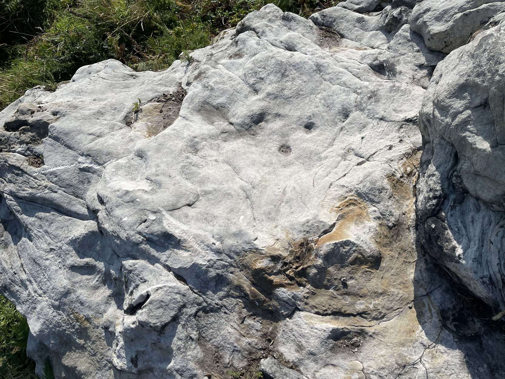
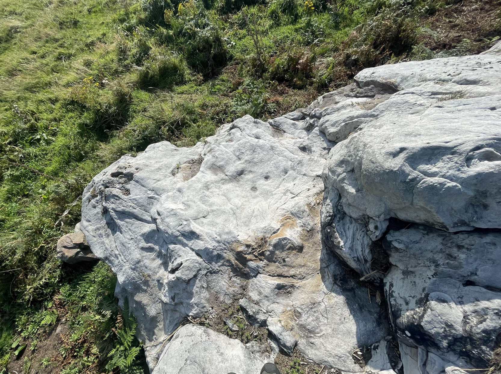
Nearly thirty years after this initial description, MacMillan (1901) found that it had previously been a part of The Tullich stone circle, and following its destruction the Clach Mhor was moved and used as “part of a garden wall on the old military road passing along its base.”
More than fifty years later, the Aberfeldy historian N.D. Mackay (1954) told that up to 1910 the Clach Mhor was a conspicuous object, standing “as it were overlooking and to some extent overhanging the roadway down near the Square.” However, it
“was blasted and broken up in 1910 in the course of road widening operations, but a considable part of it was built into, and still forms the lower corner of, the garden boundary wall, nearest The Square, of the house which bears its name, ‘Clachmhor’. Its present position is slightly east of the site it occupied when I first knew it and, unless Wade’s men did actually move it, the site it occupied for centuries.”
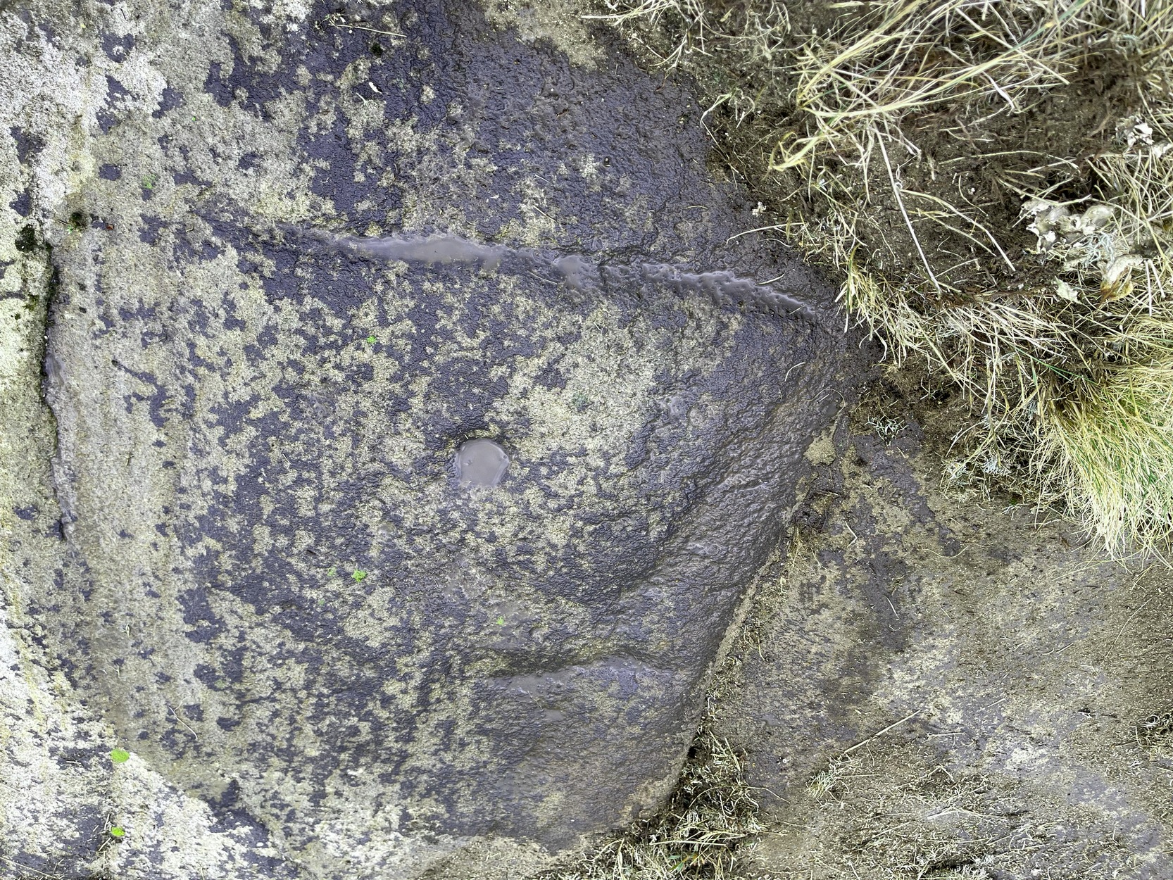
Mackay also mentioned what he called the “indentations” on the stone which MacMillam deemed as cup-marks, but he pointed out that one Rev. John MacLean “believed they were made by the levers, jacks, etc, of (General) Wade’s men” when they cut the road into Aberfeldy in the 18th century, whilst
“A third solution was given by the son of a one-time local strong man called Big Robert, “What a strong man my father was,” he said, “he lifted that stone. Don’t you see the marks of his fingers on it?””
It’s not known what became of the Clach Mhor and whether it remains hiding in some walling, or whether it has met its demise….

References:
- Mackay, N.D., Aberfeldy Past and Present, Town Council: Aberfeldy 1954.
- MacMillan, Hugh, “Notice of Cup-Marked Stones near Aberfeldy”, in Proceedings Society of Antiquaries Scotland, volume 18, 1884.
- MacMillan, Hugh, The Highland Tay, Virtue: London 1901.
© Paul Bennett, The Northern Antiquarian