Hut Circle: OS Grid Reference – NN 81327 45039
Getting Here
From Kenmore village, just as you’re going out of the village towards Aberfeldy (A827 road), turn right as if you’re going on the minor road on the south-side of Loch Tay. Almost immediately on this road, turn left and take the tiny, steep road uphill towards Amulree. After 2½ miles uphill, the road begins to level out and a small loch is on your left (north). Just past it, on the same side, a track runs onto the moors. Walk along here for nearly a mile where the track splits: keep to your left and the track follows the line of walling. Now’s the hard bit: after literally ⅔-mile, walk downhill and cross the burn (stream), then less than 50 yards up the slope on the other side, zigzag around…
Archaeology & History
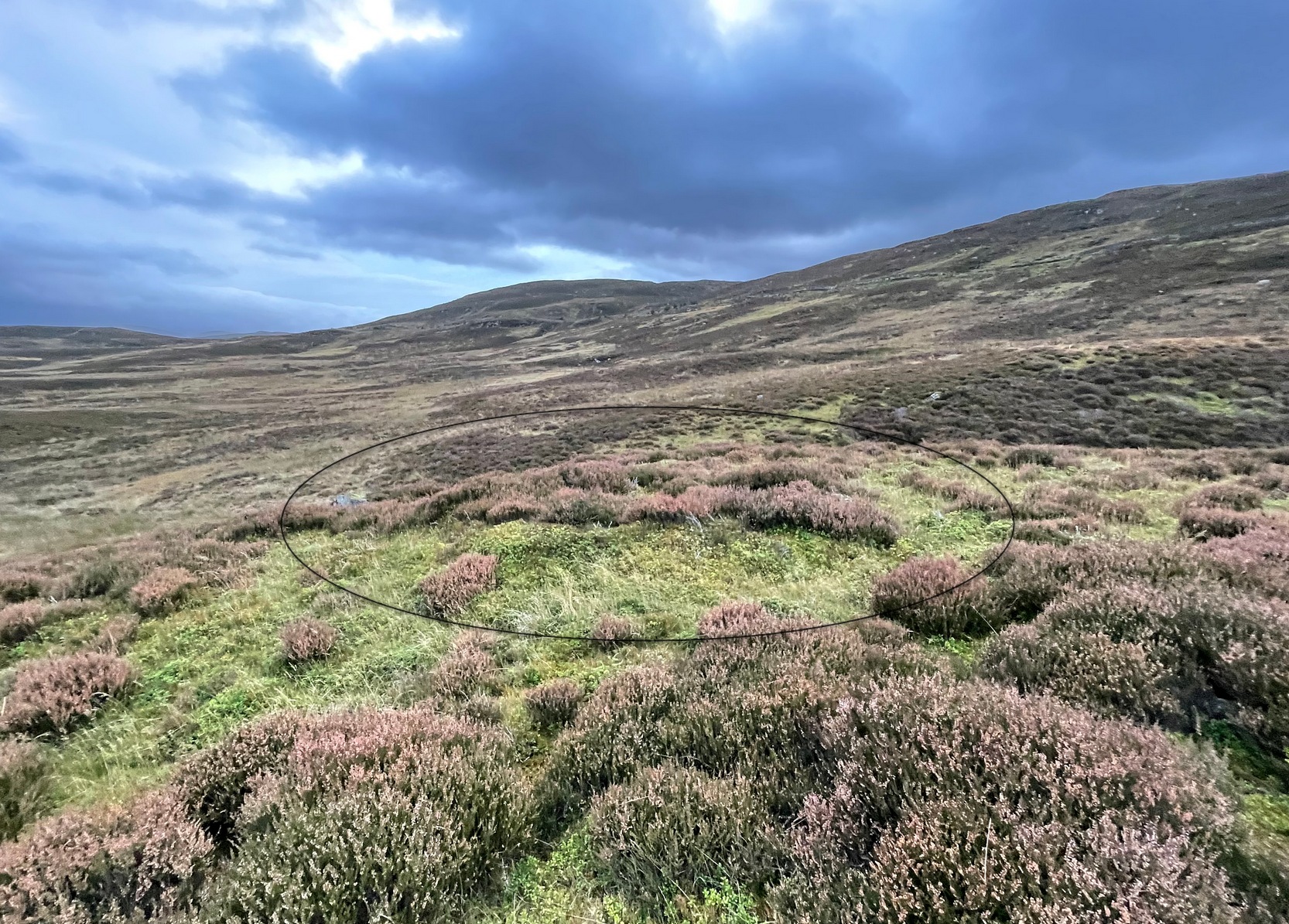
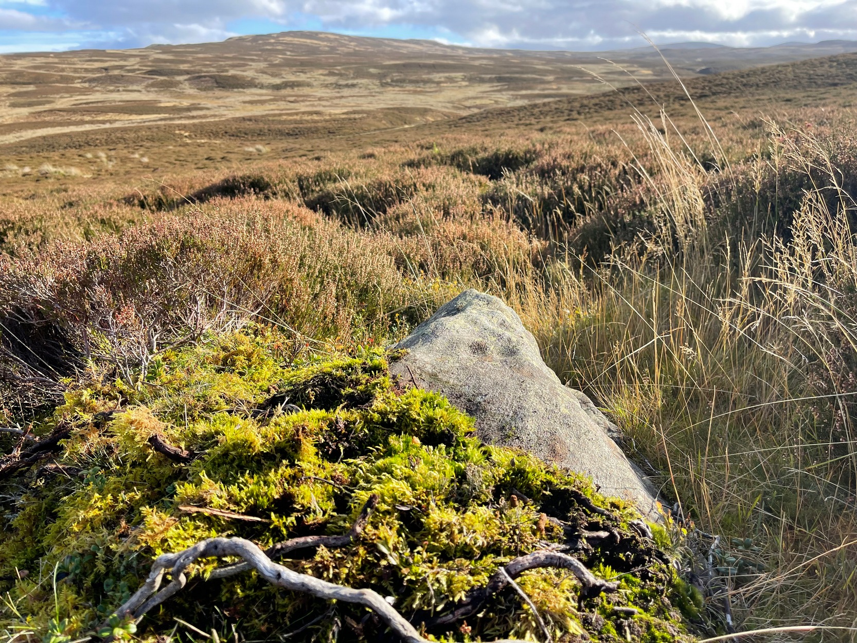
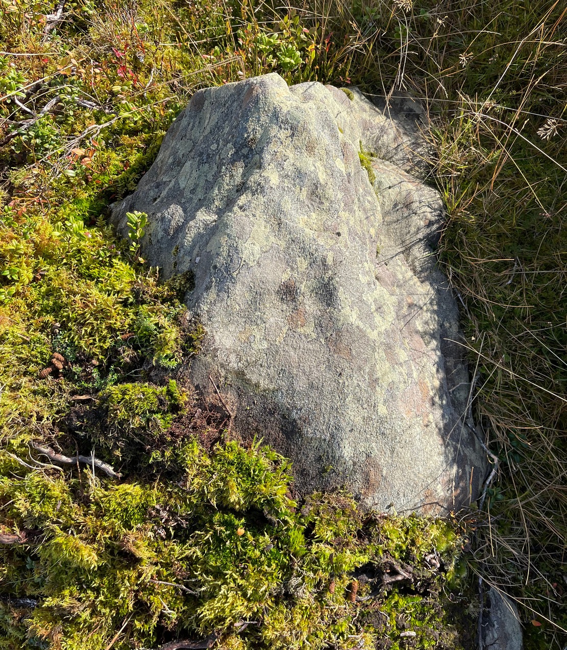
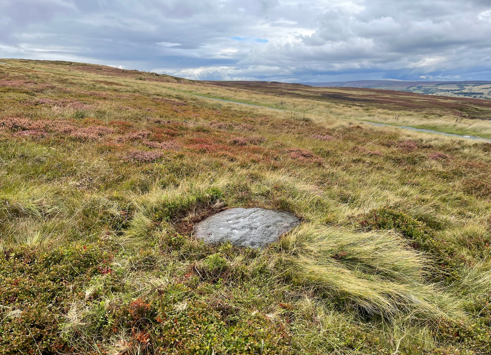
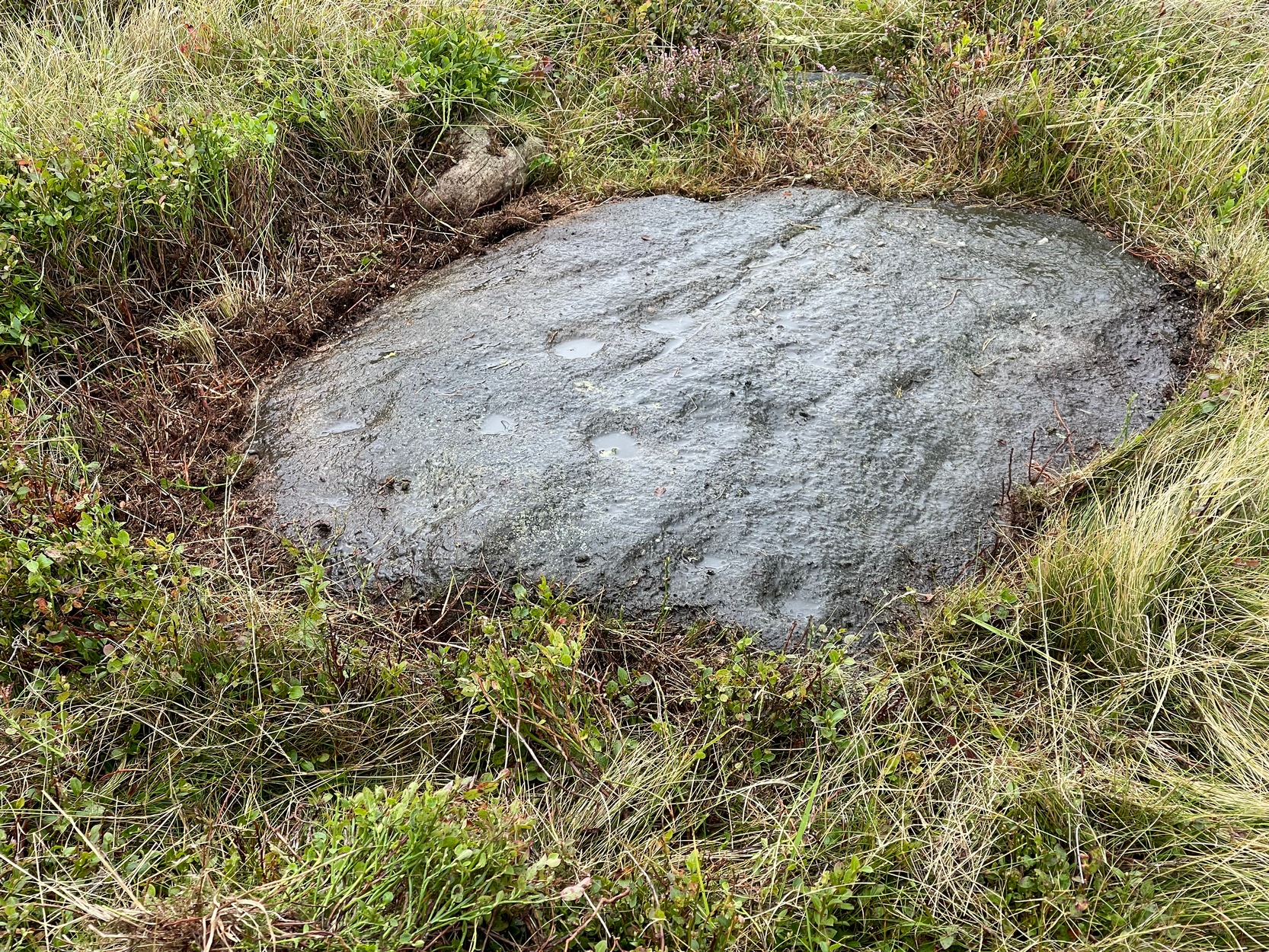
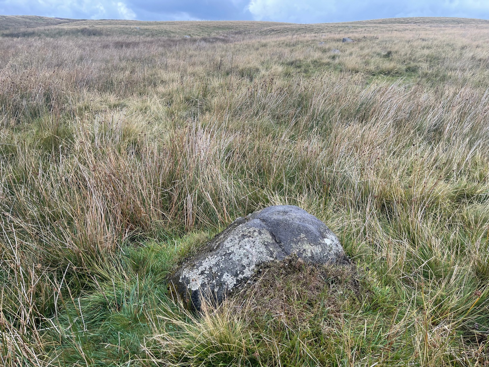
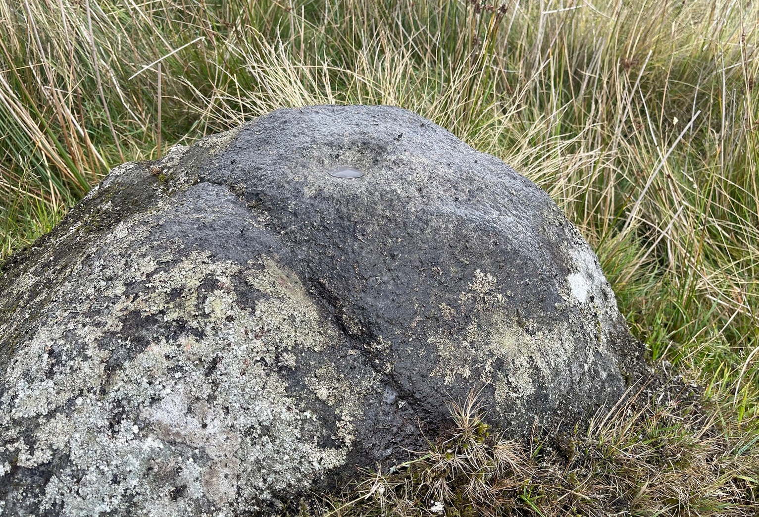
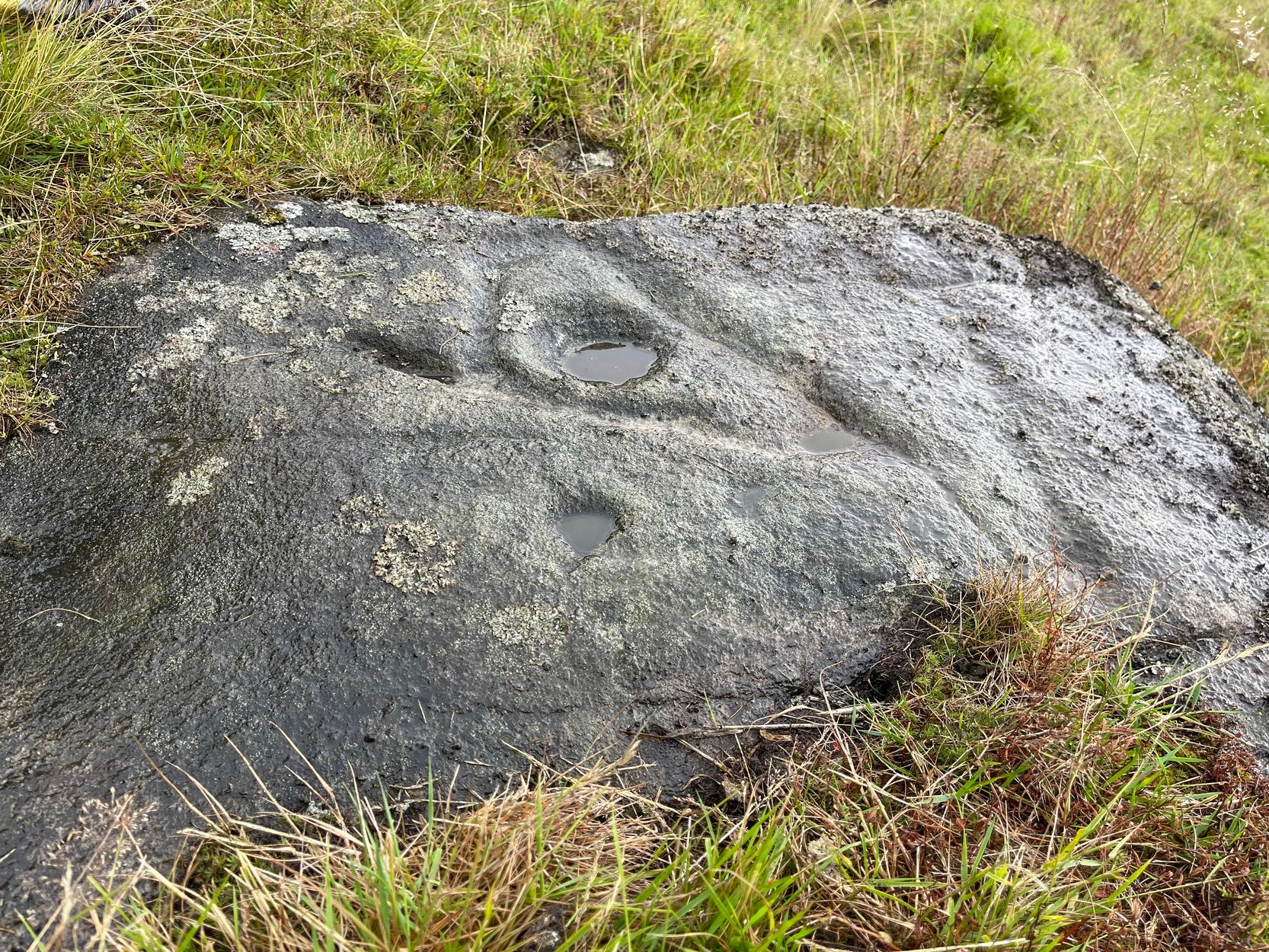
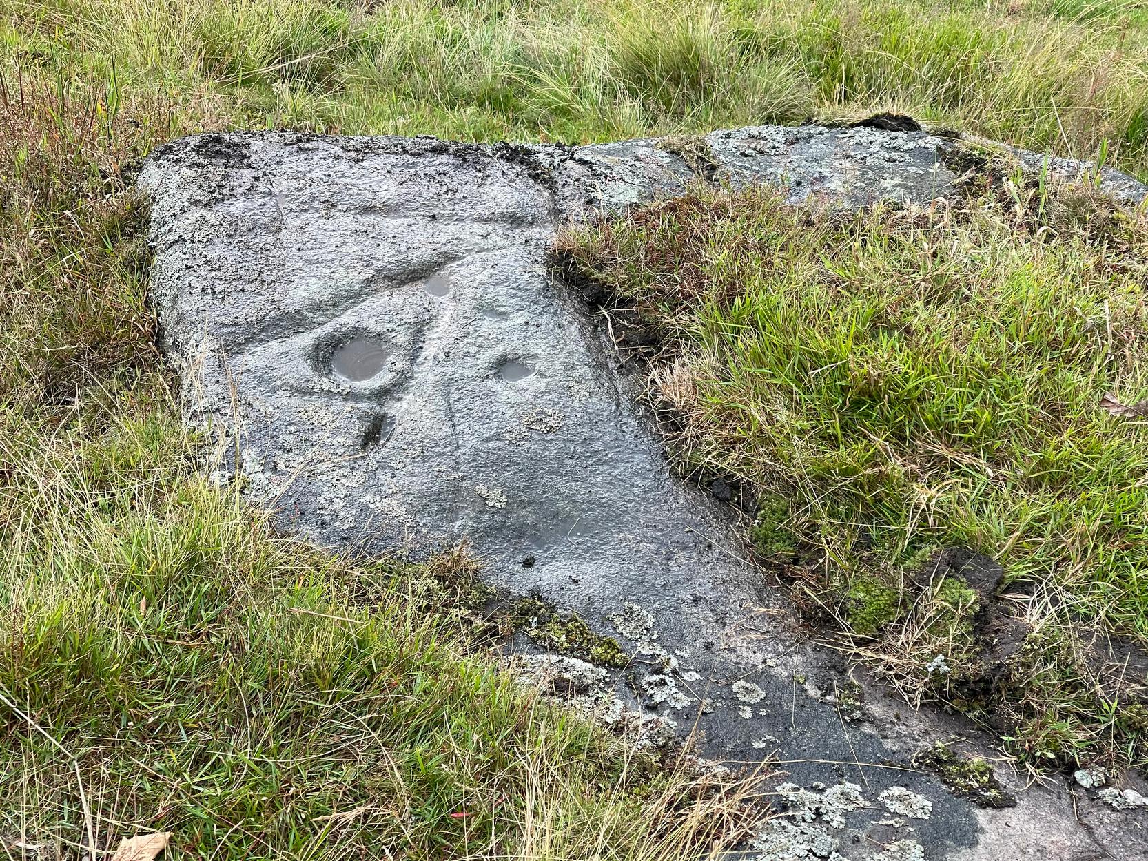
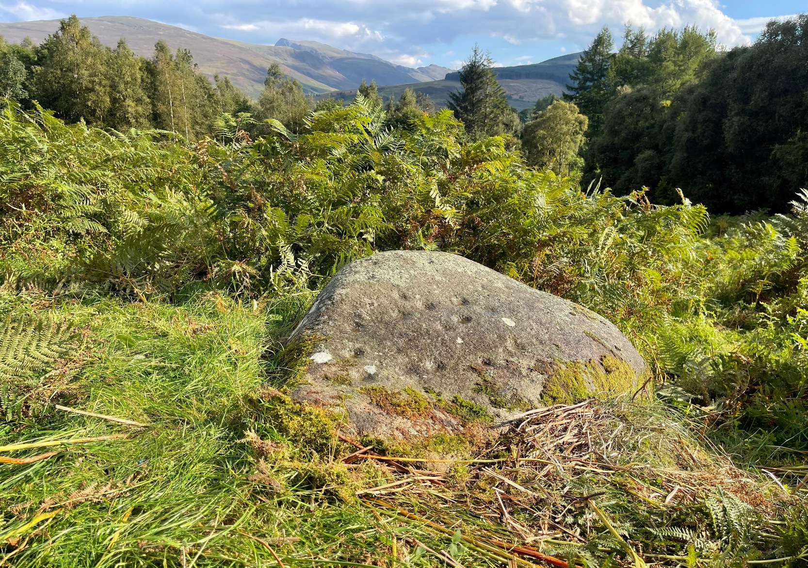
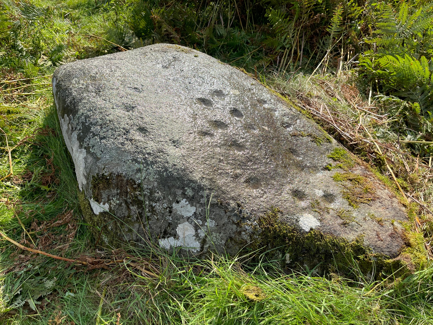
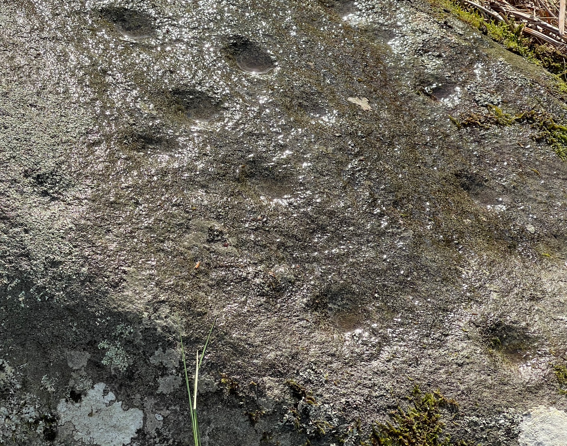
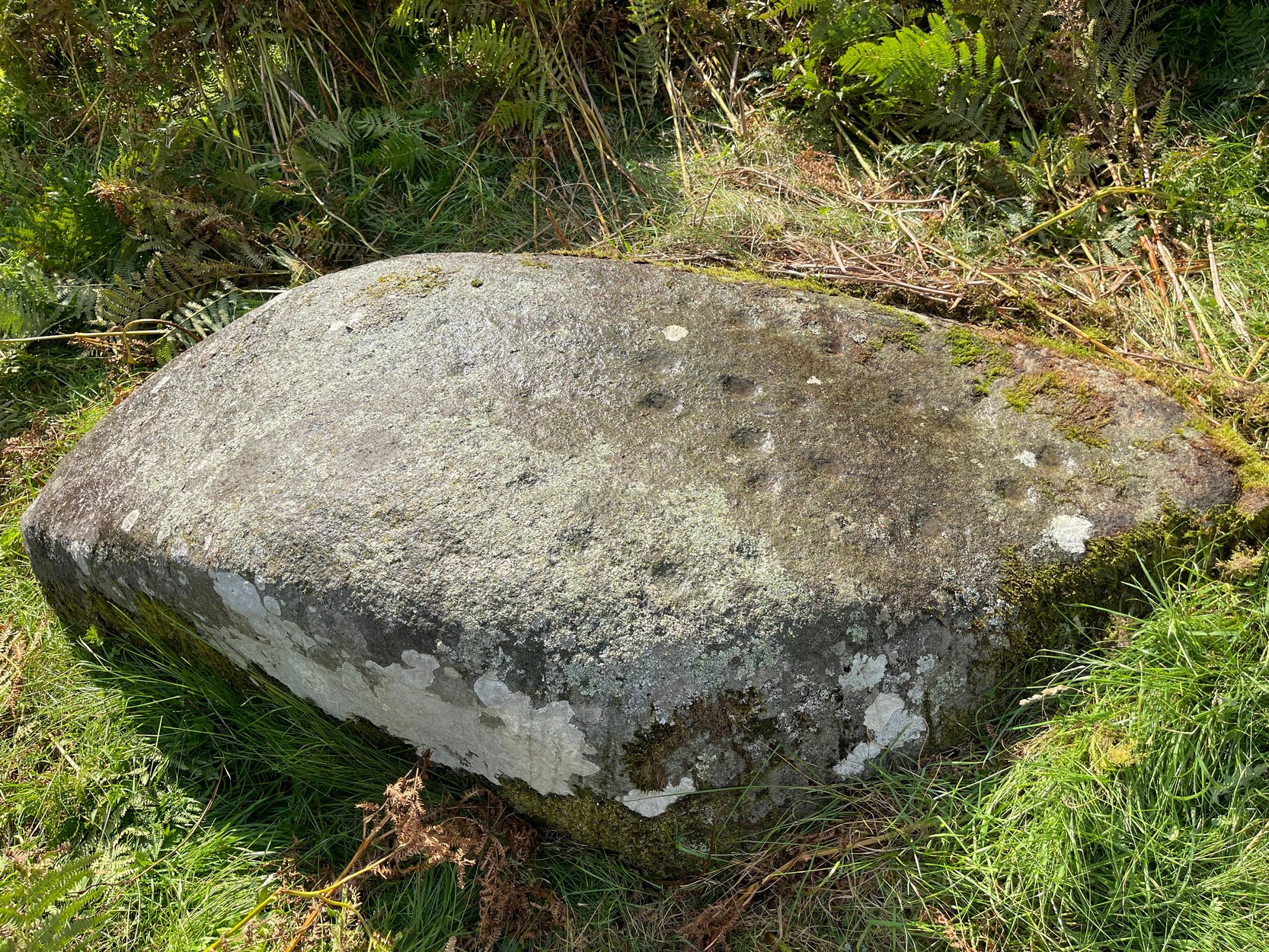
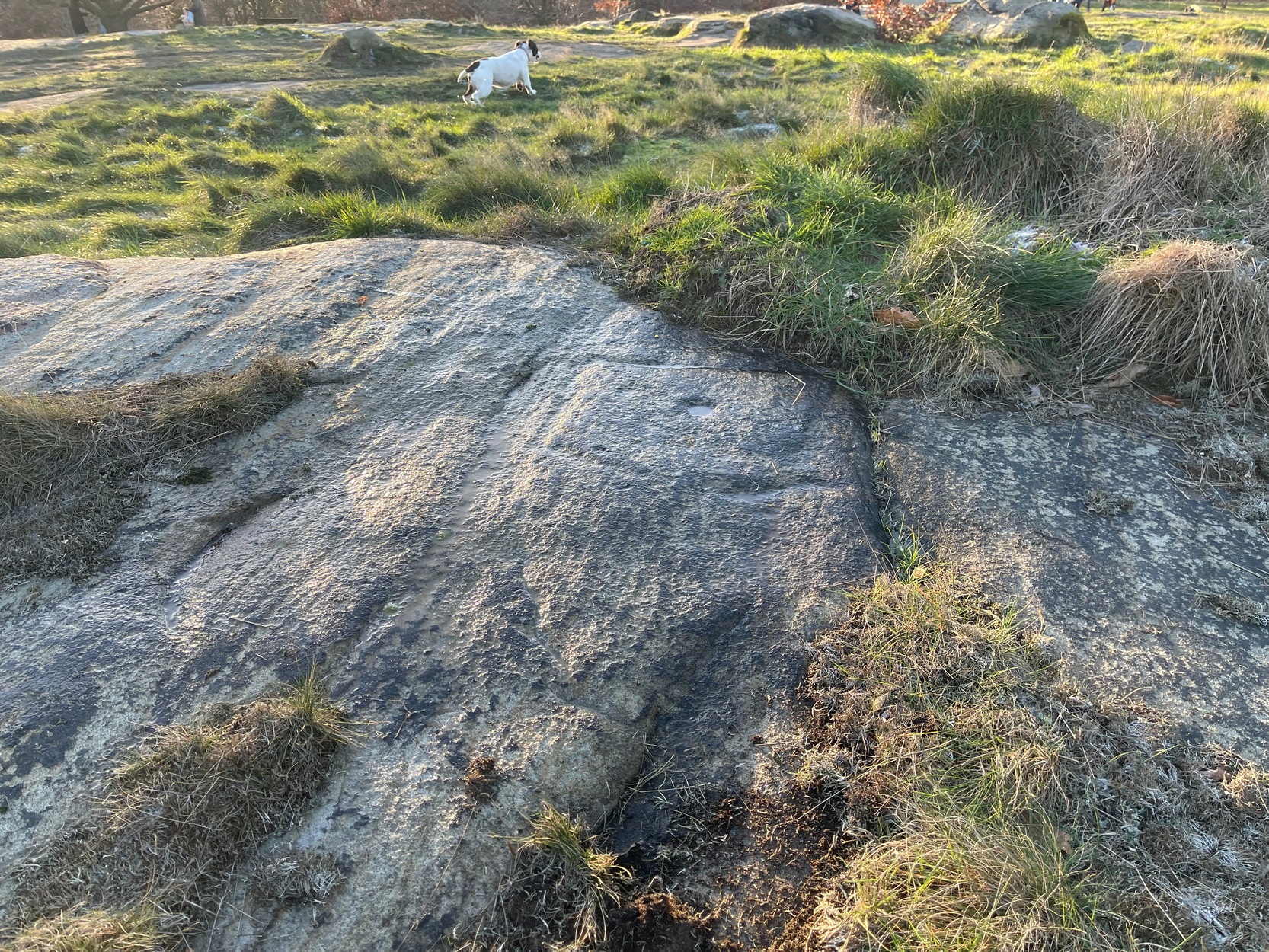
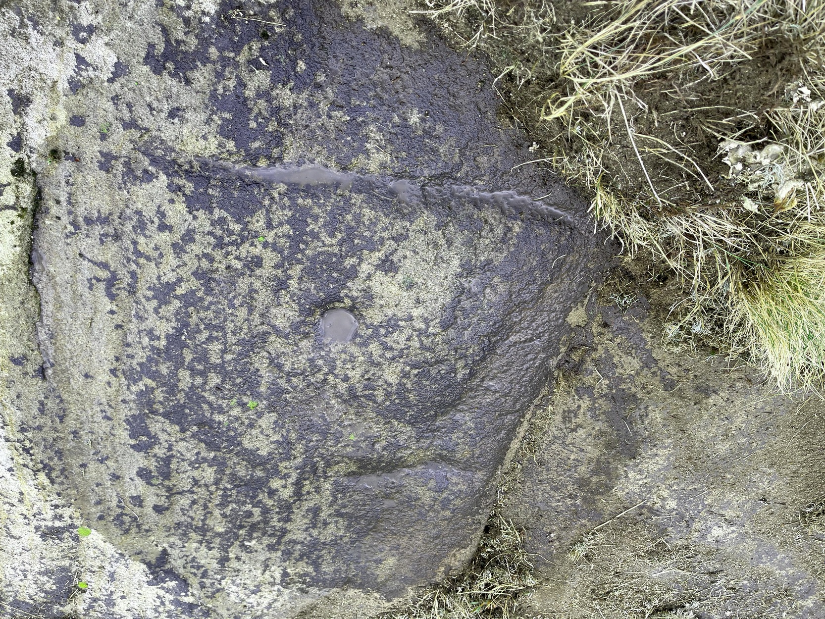
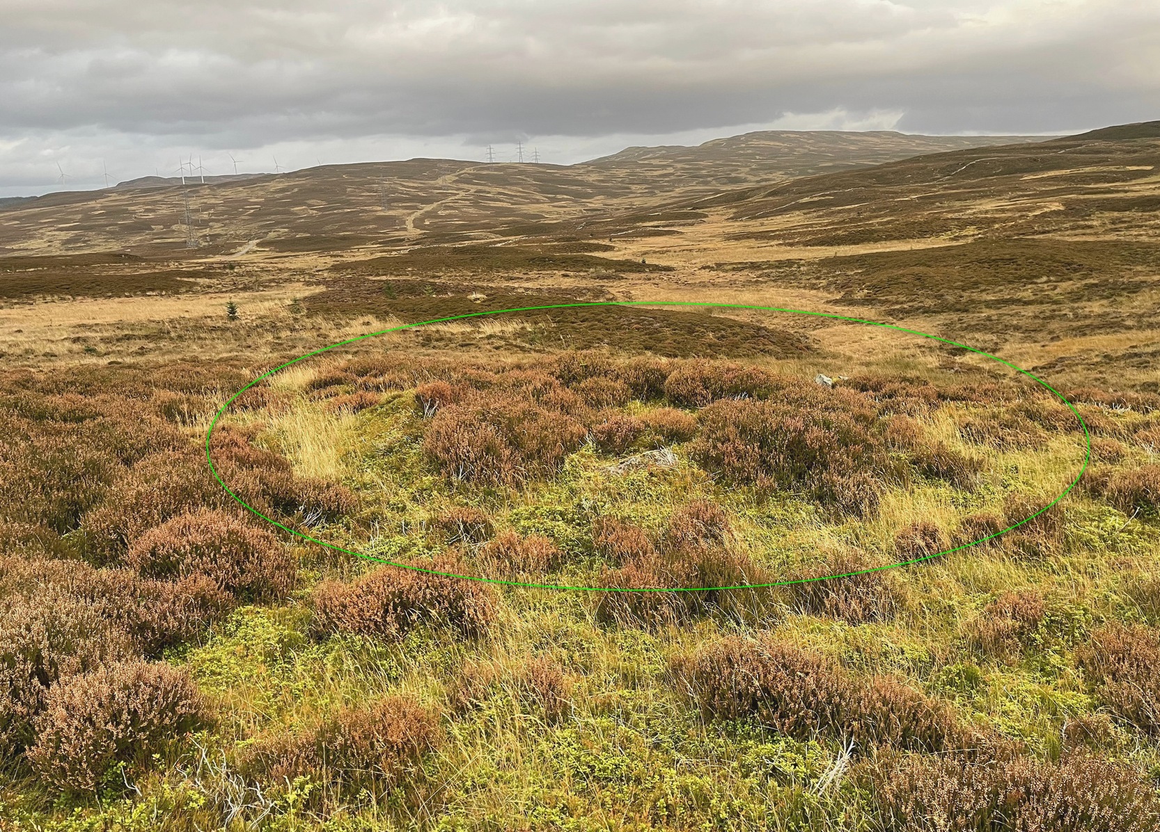
Overlooking a small (unnamed) burn immediately to the right and a large wide marshy hollow to the front, is this small and seemingly singular hut circle, in a good state of preservation, surrounded by the scattered mass of cup-and-ring stones—some complex, some very plain—all over this moorland slope. It’s a very long journey to take just to visit a single hut circle, but I’d assume that you’d be wanting to see the petroglyphs surrounding it too—so mebbe have a look at this whilst you’re fondling the rock art!
Internally this is quite a small circle, measuring barely 5 yards (east-west) by 6 yards (north-south), seemingly with its entrance on the north. Its small size suggests it was constructed for the use of just one person; two at the very most. The structure is still in very good condition considering its age (possibly Bronze Age), with minimal damage apart from Nature’s wind and weathering. The circle is made up primarily of a number of large rocks with many filling stones, with the walling being a yard or so wide all round. In all likelihood, the rest of the building would have been made of timber, with a typical tented roof. It’s an excellent spot to base yourself to explore all the cup-and-ring stones on these slopes. Perhaps, just perhaps, this might have been a shaman’s hut, looking over the ancestral images on the rocks hereby…. ♥
© Paul Bennett, The Northern Antiquarian