Holy Well: OS Grid Reference – NO 18505 09169
Also Known as:
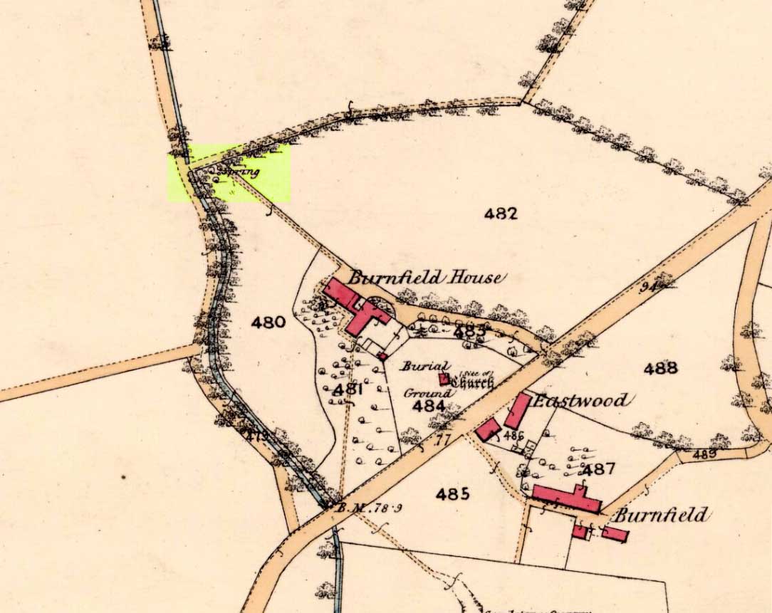
- Chapel Well
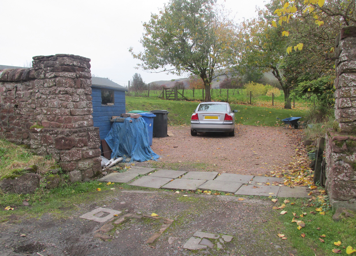
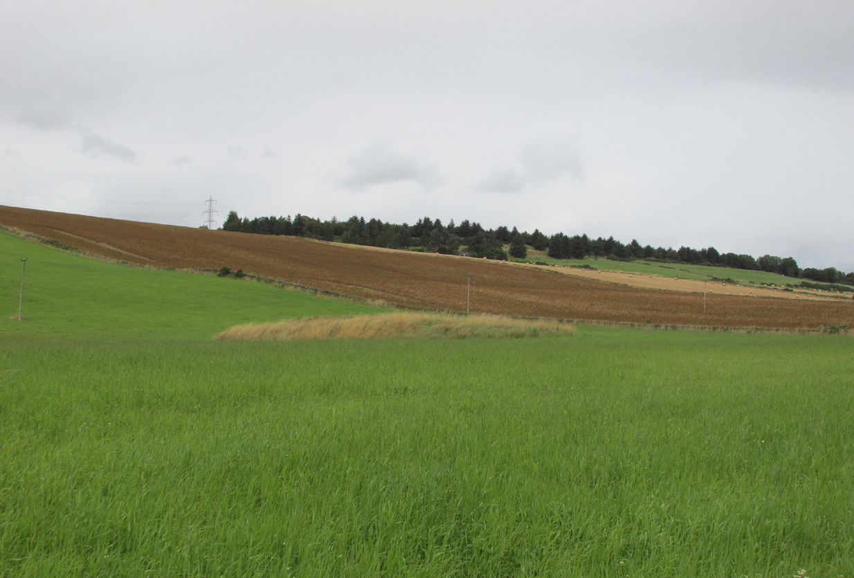
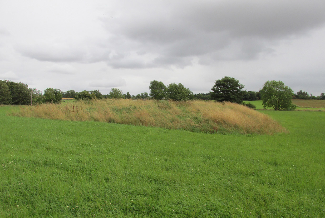
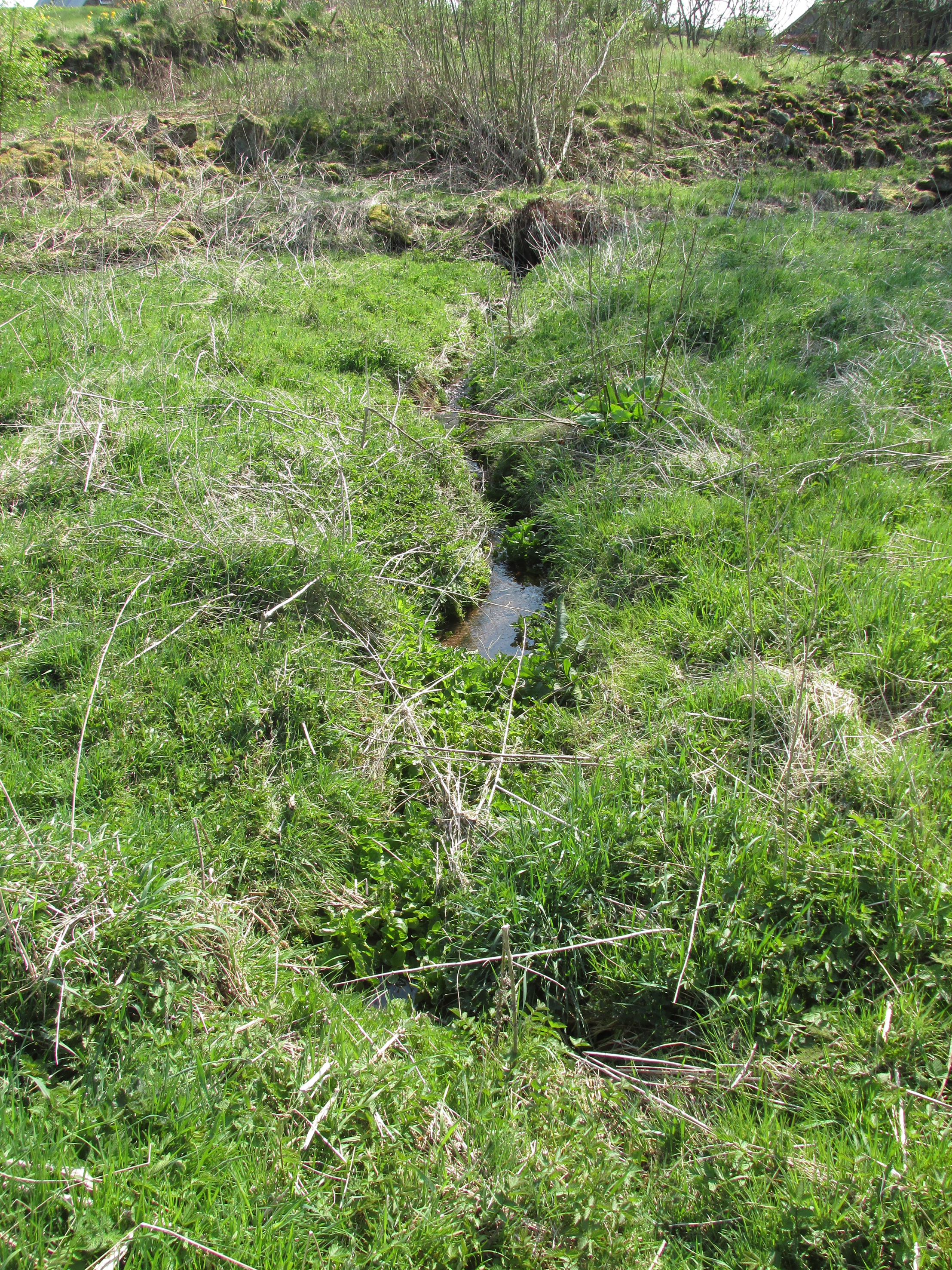
Travelling from Milnathort on the A91, in Gateside village, turn right down Old Town, and after the left bend in the road, park up. Access to the field where the Well is situated is through the gate on land next to the easternmost house on the south side of Old Town. Ask at the house first. Walk down the field towards the Chapel Den burn, and the ruins of the Well will be seen next to the burn just before the line of bushes that cross the field.
Archaeology and History
In his brief description of Strathmiglo parish, Hew Scott (1925) wrote:
“At Gateside…there was a chapel of St Mary, with Our Lady’s Well beside it.”
It was described in the nineteenth century Ordnance Survey Name Books by an informant:
“A small spring well on the north side of the Mill Dam. Supposed to have been used in the days of Popery as holy water and for other purposes when the building supposed to have been St Mary’s Chapel was in existence.”
Another informant wrote:
“…a Romish chapel is supposed to have been erected in this village and is borne out in a great measure by names of objects adjoining, namely Chapel Den, Chapel Well.”
And further:
“According to Doctor Small…it is stated, ‘The ancient name of this village called in old papers the Chapelton of the Virgin, changing its name at the Reformation.'”
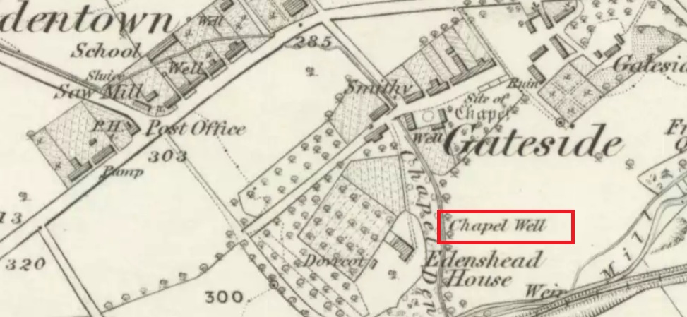
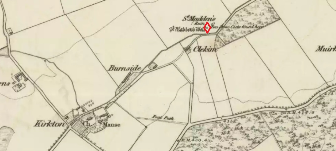
This latter statement would seem to imply that the part of modern-day Gateside south of the main road (the north side was known as ‘Edentown’) was a pilgrimage centre of the Cult of the Virgin. The chapel was erected by the monks of Balmerino to whom it was known as ‘Sanct Mary’s of Dungaitsyde’. It was highlighted as the Chapel Well on the 1856 OS-map.
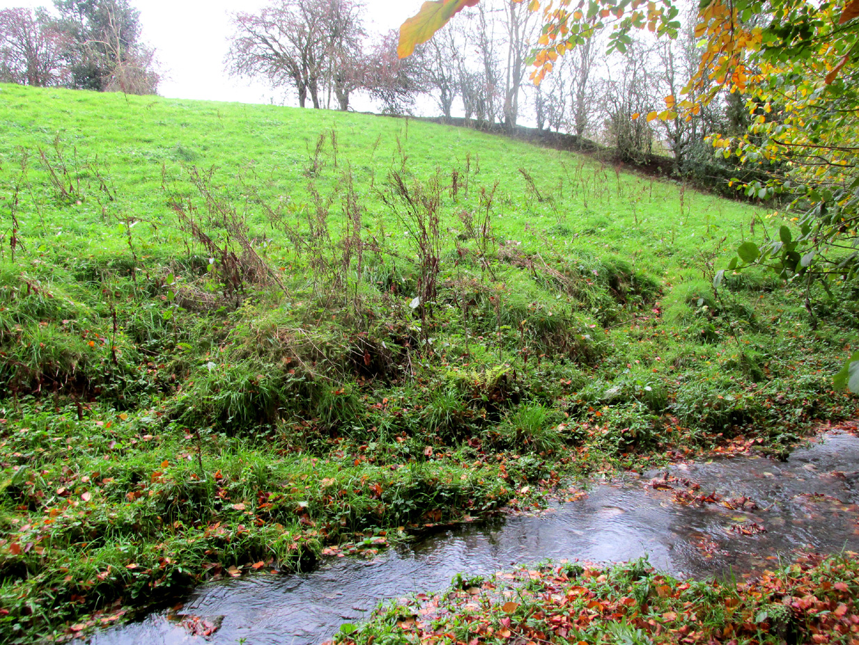
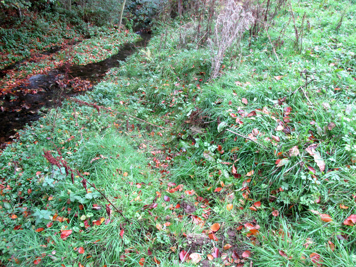
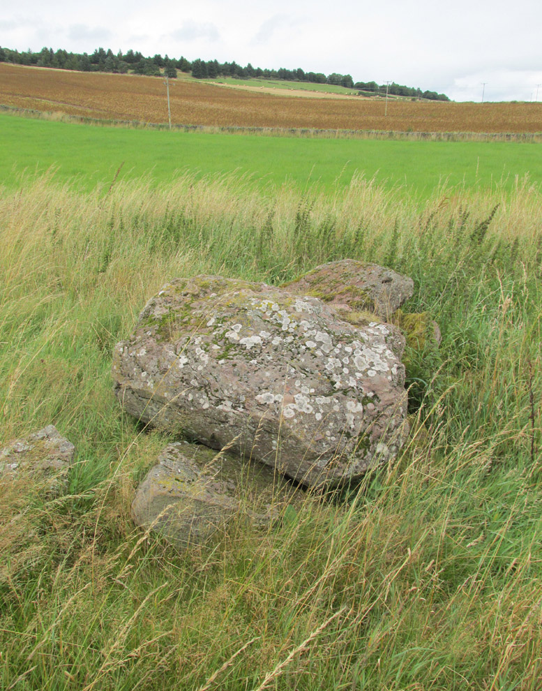
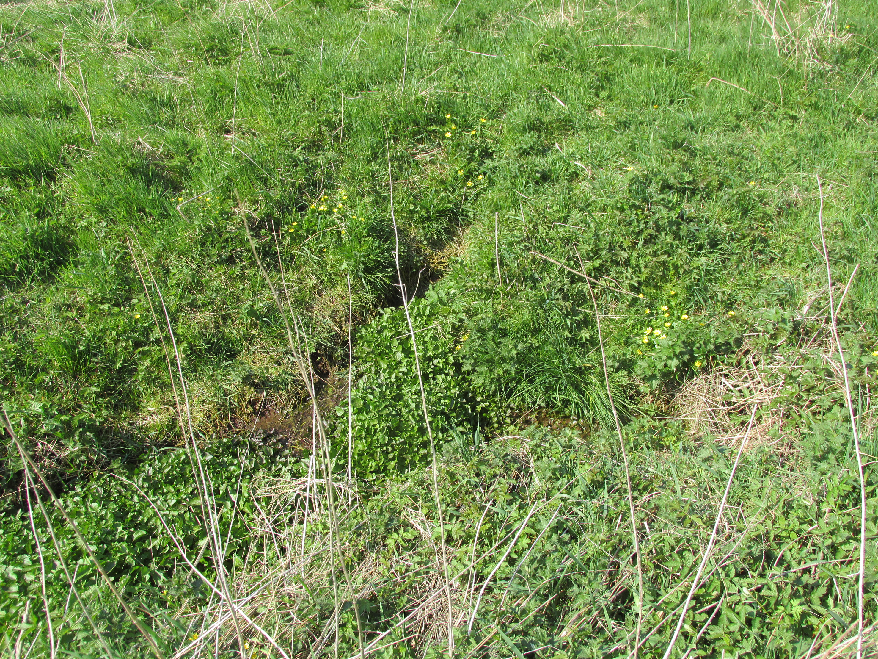
While no trace of the chapel remains, the Well is evidenced by some low ruins of what had once been a red sandstone structure, and it was just possible to make out in the field the line of the pilgrim’s path to the well. But what a lovely serene place next to the burn! An ideal spot to meditate or daydream… The spring no longer flows, and a manhole in the field probably indicates the water supply has been diverted, perhaps to serve the long since closed Gateside Distillery?
References:
- Scott, Hew, Fasti Ecclesiae Scoticanae – Volume V, Oliver & Boyd: Edinburgh 1925.
Links:
- On Canmore
© Paul T. Hornby 2016 The Northern Antiquarian