Hut Circles: OS Grid Reference – NC 74219 58055
Also Known as:
Getting Here

Achamore’s NE ‘hut’ circle, looking E
Along the A836 road a mile east of Bettyhill, a track goes south onto the moors just before Loch Salachaidh. Walk along here for several miles, past the windmills and past the Achadh Thaibstil Cairn, until you reach the remote green fields that are the remains of the clearance village of Achamore. As you walk into the green grasses, a ruined building is to your left. In front of you, a large raised round structure almost entirely covered in grass. You’re here!
Archaeology & History
This is a curious structure – and were it not for being labelled as a ‘hut circle’ by the lads at Ordnance Survey, on first impression I’d be more tempted to classify it as either a collapsed broch, or a large cairn circle. This is entirely due to the size of the thing, as it’s big for a hut circle!
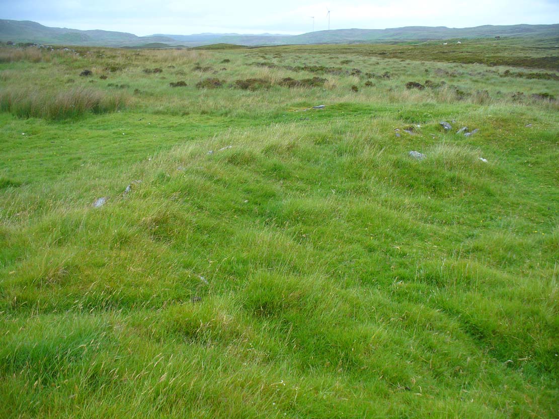
NW arc of the circle

Eastermost embankment
Circular in form, the sides of the structure on its eastern face are nearly three feet high, piled at an angle of nearly 45 degrees, and several feet across before you reach the internal section of the said ‘hut circle.’ As you walk around it, the height of the piled stones diminishes to between 1-2 feet, but the diameter of the walling all round is consistently wide – increasing the thought of it being a collapsed or robbed-out broch. The diameter of the structure is some 20 yards across, with an approximate circumference of 64 yards.

‘Hut circle’ atop of nearby hill
Another “hut circle” is immediately visible some 80 yards to the south, on top of the nearby grassy hilltop. The majority of this is also covered in meadow grasses, with edges and upper surfaces all but hidden. On its southeastern edge is what looks like a structural stone ‘entrance’ some two yards across and three yards long.
Other smaller hut circles in the area indicate that this region – like others nearby – was a place of consistent human habitation from prehistoric (probably Neolithic) times, unbroken all the way through until the 18th century.
© Paul Bennett, The Northern Antiquarian