Lower Lanshaw Dam (02), Burley Moor, West Yorkshire

Cup-Marked Stone:  OS Grid Reference – SE 14223 44888

Getting Here

Along the moorland road between Cow & Calf and The Hermit pub, park up at the small wooded bit by the right-angle bend and cross over the Coldstone Beck.  Walk up onto the moor itself and stick to the path that runs roughly parallel with the slowly-drying stream, towards Lower Lanshaw Dam.  About 100 yards before it, walk left, into the heather, for about 50 yards.  You’re damn close!

Archaeology & History

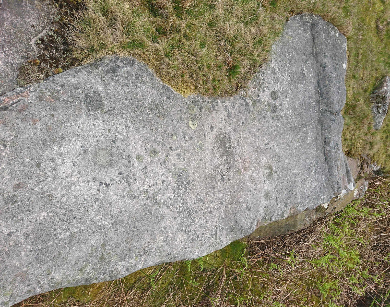
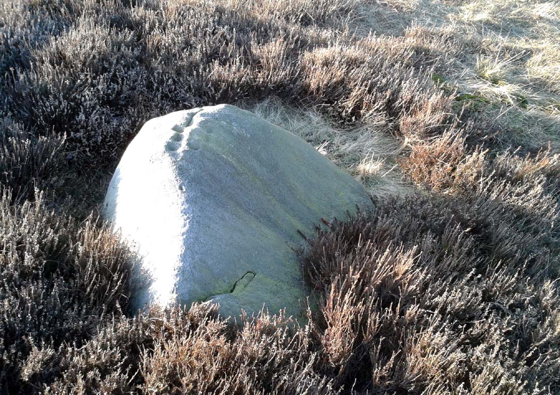
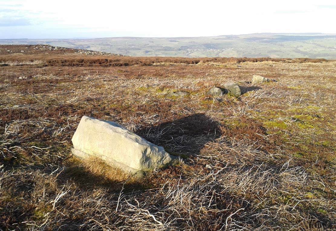
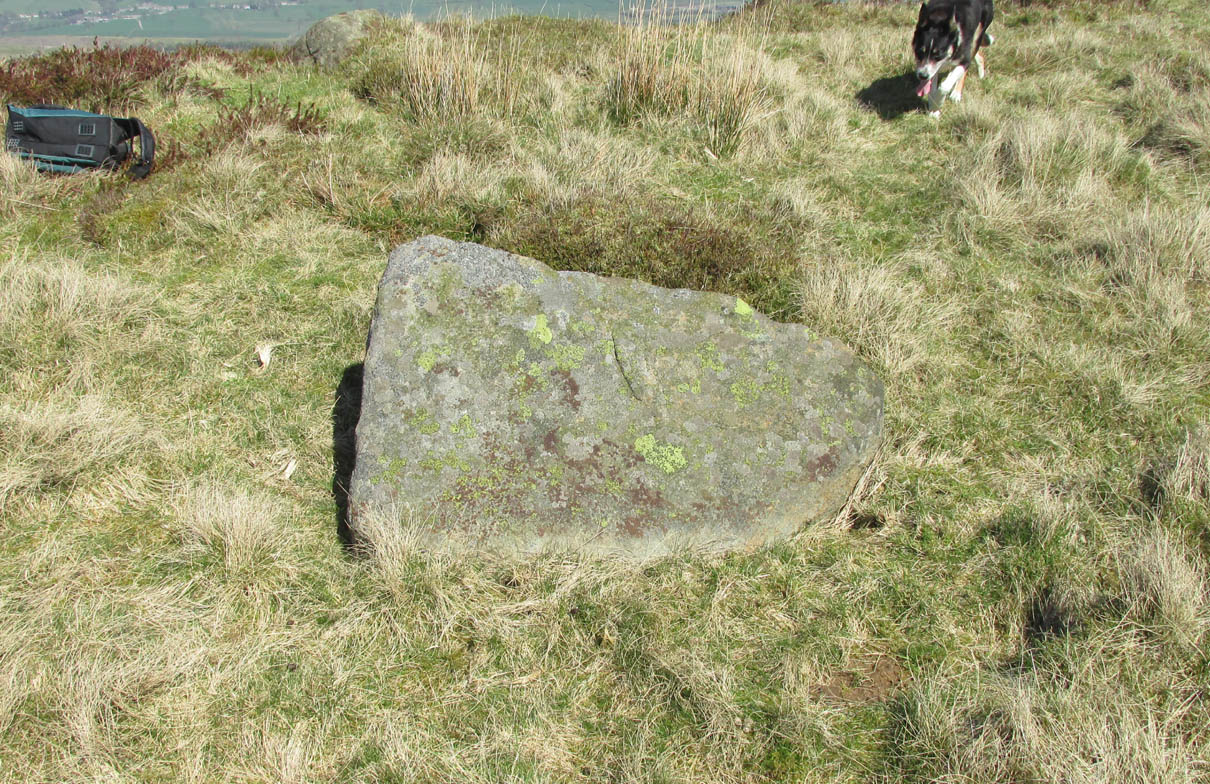
Lower Lanshaw Dam carving
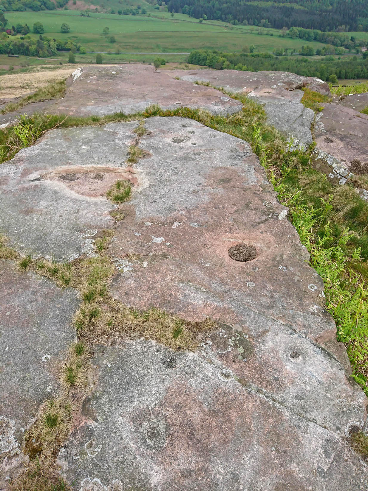
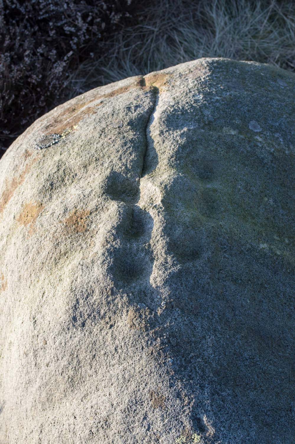
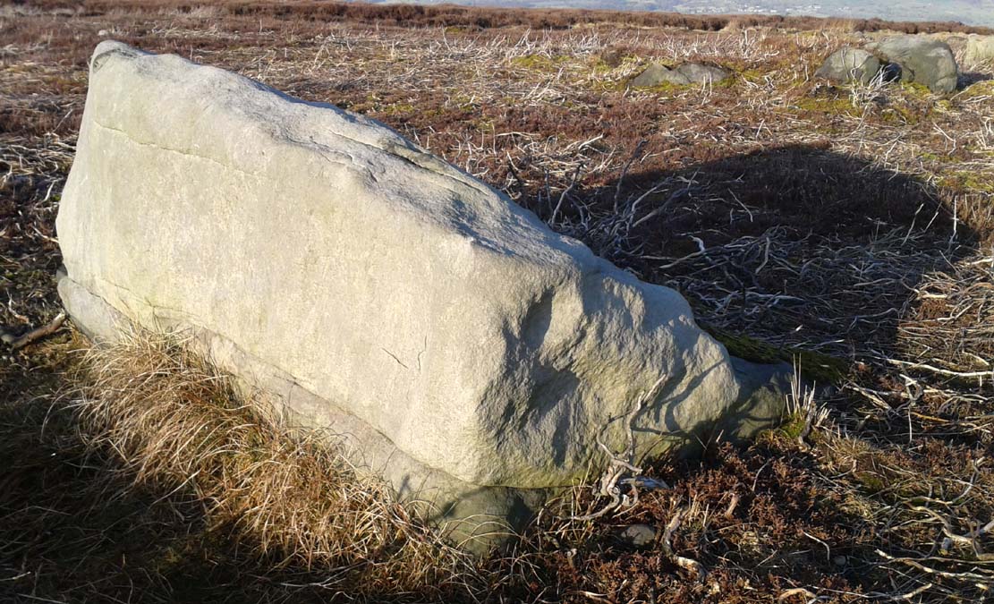
Close-up of cupmarks (by James Elkington)

This is another neolithic or Bronze Age carving I first came across during one of my weekly rambles across these hills as a child, and upon revisiting the place a few days ago with James Elkington, found it associated with nearby cairns and what looks to be the remains of prehistoric walling – none of which I noticed when I was a kid.  The petroglyph is a simple design, primarily consisting of two rows of three cup-marks: one row of three along the top or spine of the rock, and another one immediately beneath it, an inch or so below.  The topmost line of cups runs into a natural crack in the rock, which runs down the northwest edge of the stone.  A possible faint cup and partial ring emerges on the southeast side of the topmost row of cups, but this is difficult to make out.  On the sloping northwest face of the rock is another single cup-marking.

References:

  1. Bennett, Paul, Of Cups and Rings and Things, unpublished: Shipley 1981.

Acknowledgements:  Many thanks to James Elkington for use of his photo to illustrate this petroglyph

© Paul Bennett, The Northern Antiquarian

Lower Lanshaw Dam (01), Burley Moor, West Yorkshire

Cup-Marked Stone:  OS Grid Reference – SE 1416 4489

Getting Here

Take the same directions as if you’re visiting the Lanshaw Dam 2 petroglyph, then keep walking directly towards the Lanshaw Dam, 130 yards east.  Halfway between the two, closer to the footpath, look out for a stone of similar shape and dimensions to Lanshaw 2, just by a prehistoric cairn.  You’ll find it!

Archaeology & History

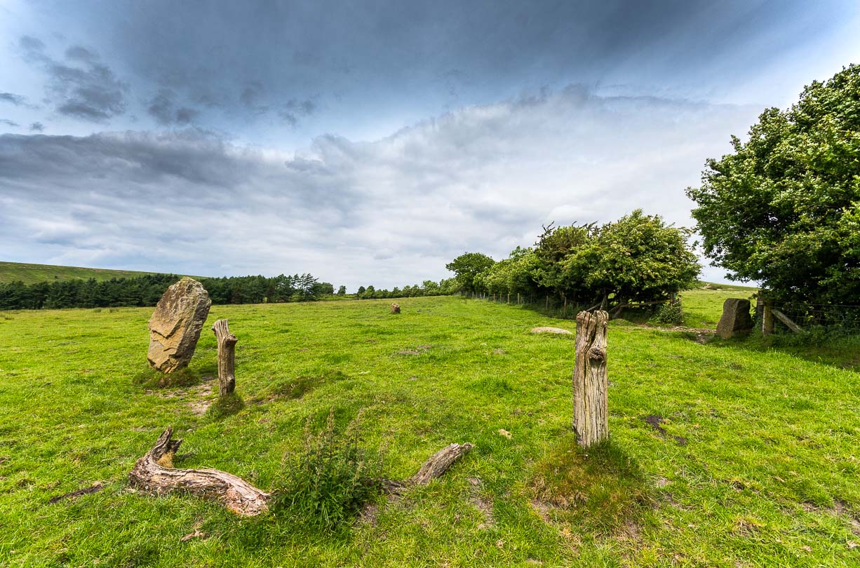
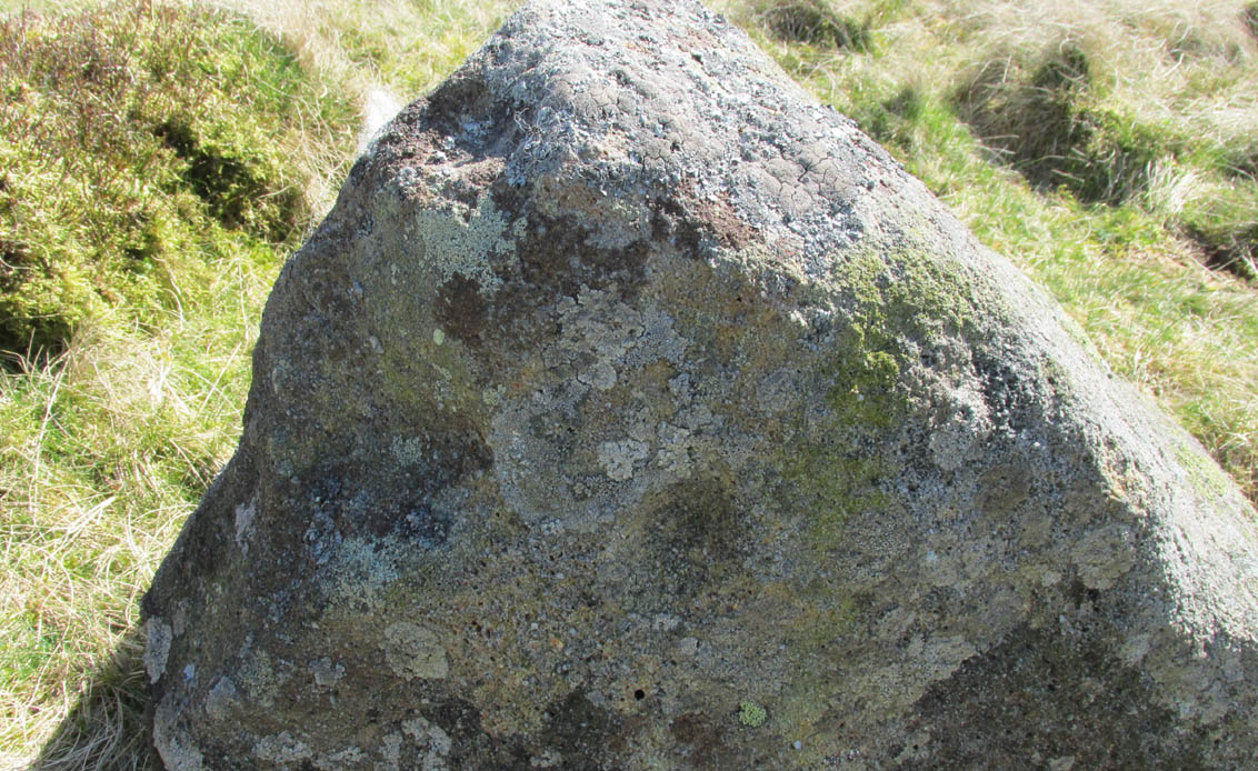
Cup-marked stone & cairn
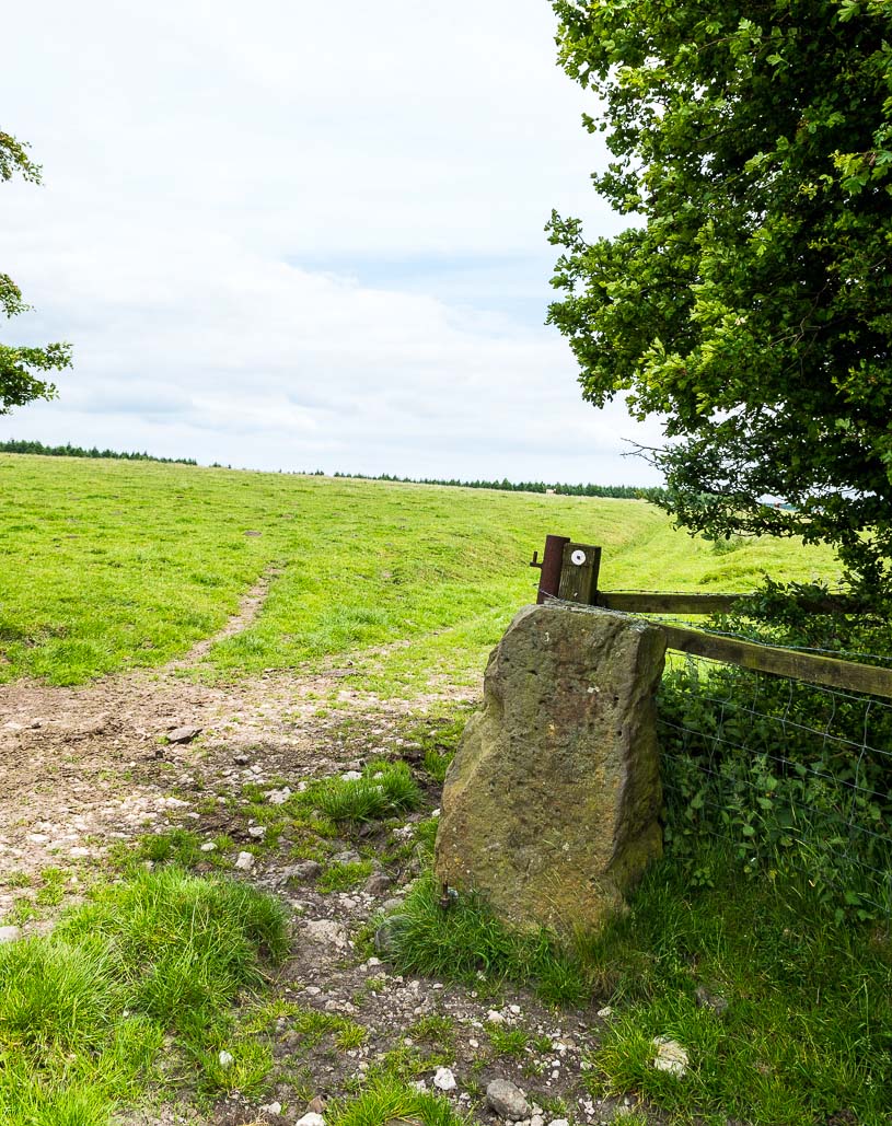
Close-up of cup marking

As with a great number of petroglyphs in and around Yorkshire, this large single cup-marked rock is found in close association with a reasonably large prehistoric cairn (several others are close by), some 3 yards in diameter.  The cup-marking here is larger than yer average cup-mark on these moors, being four inches across. It can clearly be seen on the southern vertical face of the rock and doesn’t appear to have been recorded before.  On the whole, it’s nothing special to look at and is probably just one for the petroglyphic purists amongst you.

© Paul Bennett, The Northern Antiquarian
Hill Chapel Cross, Goosnargh, Lancashire

Wayside Cross : OS Grid Reference – SD 57273 38505

Also Known as:

  1. Historic England Monument No. 42648

Getting Here

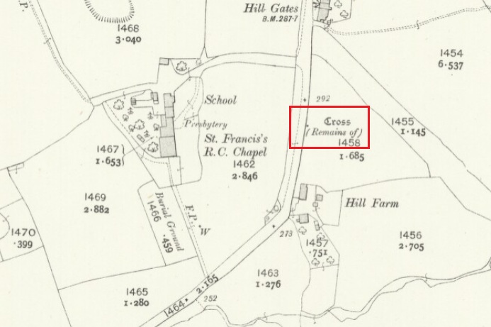
Cross shown on 1912 OS-map

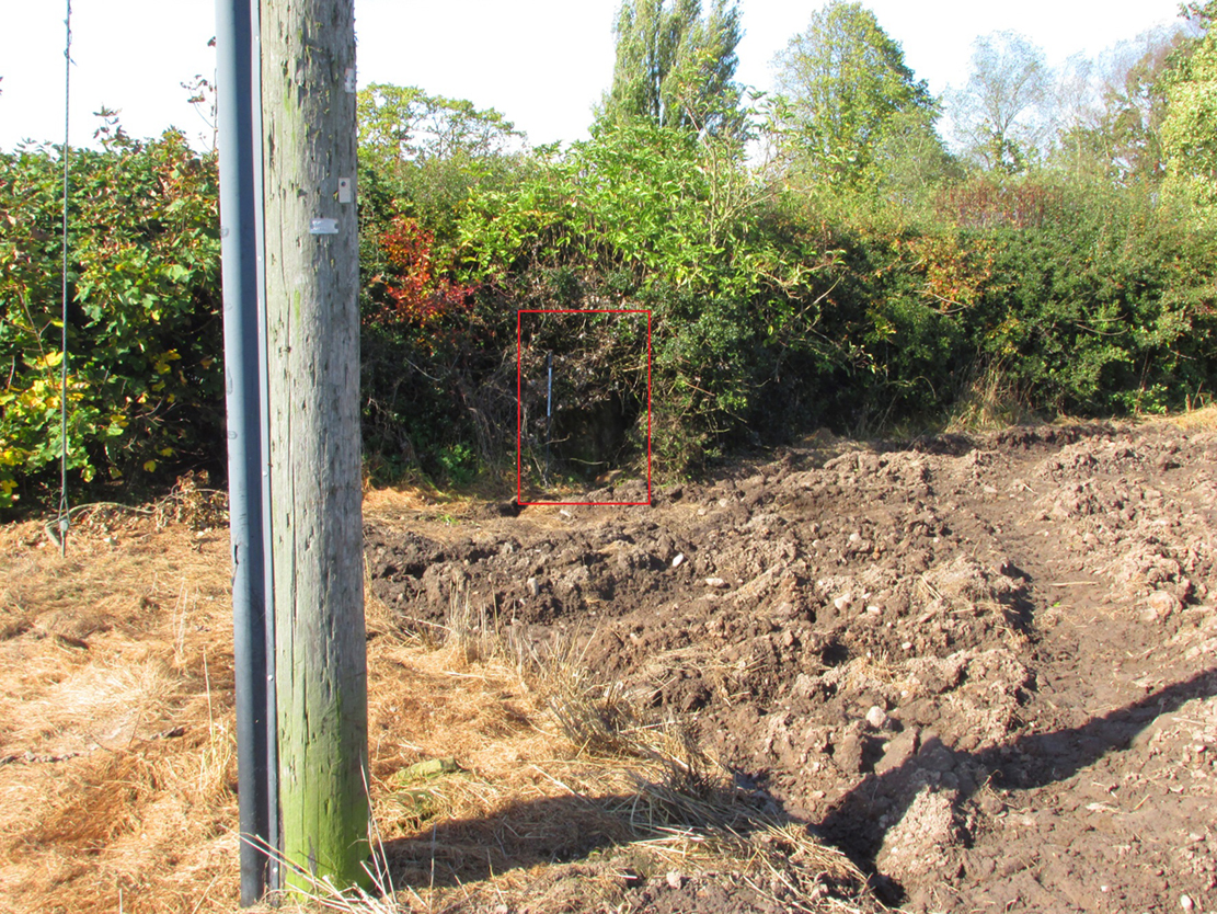
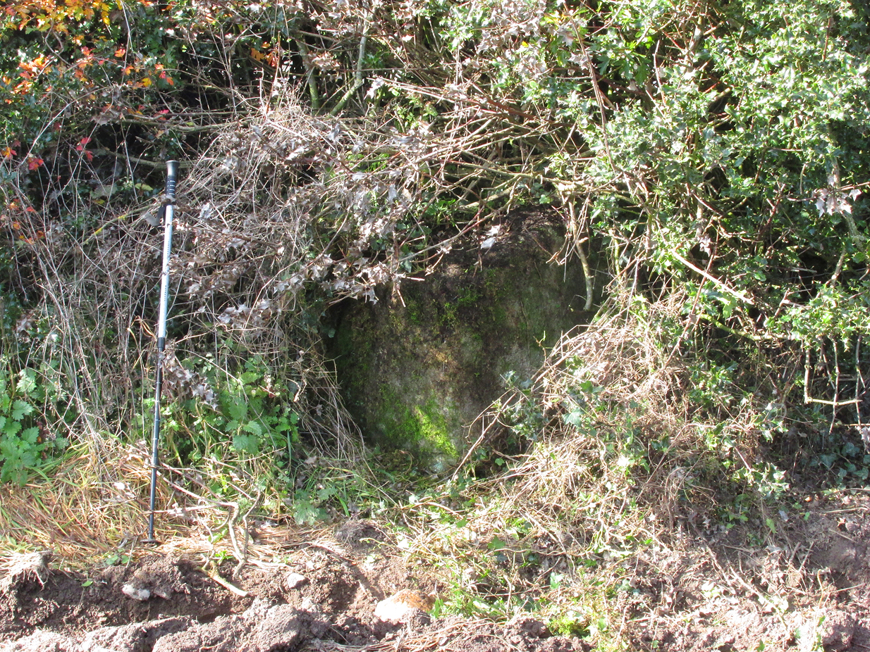
The Cross base is situated in a thick hedgerow on the east side of Horns Lane, opposite St Francis’ Hill Chapel, just to the north of and on the field side of the electricity transmission line that crosses the road at this point. It can be accessed from the field to the north by crossing the stream. In winter the Cross base is just visible from the road side through the hedge.

Archaeology & History

This cross is not described or noted by Henry Taylor in the 1906 edition of his Ancient Crosses and Holy Wells of Lancashire. All that survives is the substantial socketed base of what is likely to have been a mediaeval cross. It is almost completely hidden in the hedge, and is only accessible for ‘hands-on’ inspection from the field side of the road.

It was described by Historic England as:

‘The socket-stone of a probable wayside cross 1.0m square and 1.5m high…. Its present position in a pasture field suggests that it is not in situ.’

Cross position highlighted
Hidden in the boscage

Despite this description, the substantial nature of the base leads me to query why anyone would wish to move it from elsewhere. It is more likely that past land-owners have encroached on to the ancient highway, and fenced it accordingly. Maybe the Hill Chapel congregation will at some consider exposing the base on its hill crest position and insert a replica cross?

There is no record of what happened to the original Cross.  According to a pamphlet describing Hill Chapel, “this house appears to have always been in Catholic hands”, but no mention is made of the Cross.  A likely culprit for its destruction is the early nineteenth century Protestant fundamentalist the Reverend Richard Wilkinson.

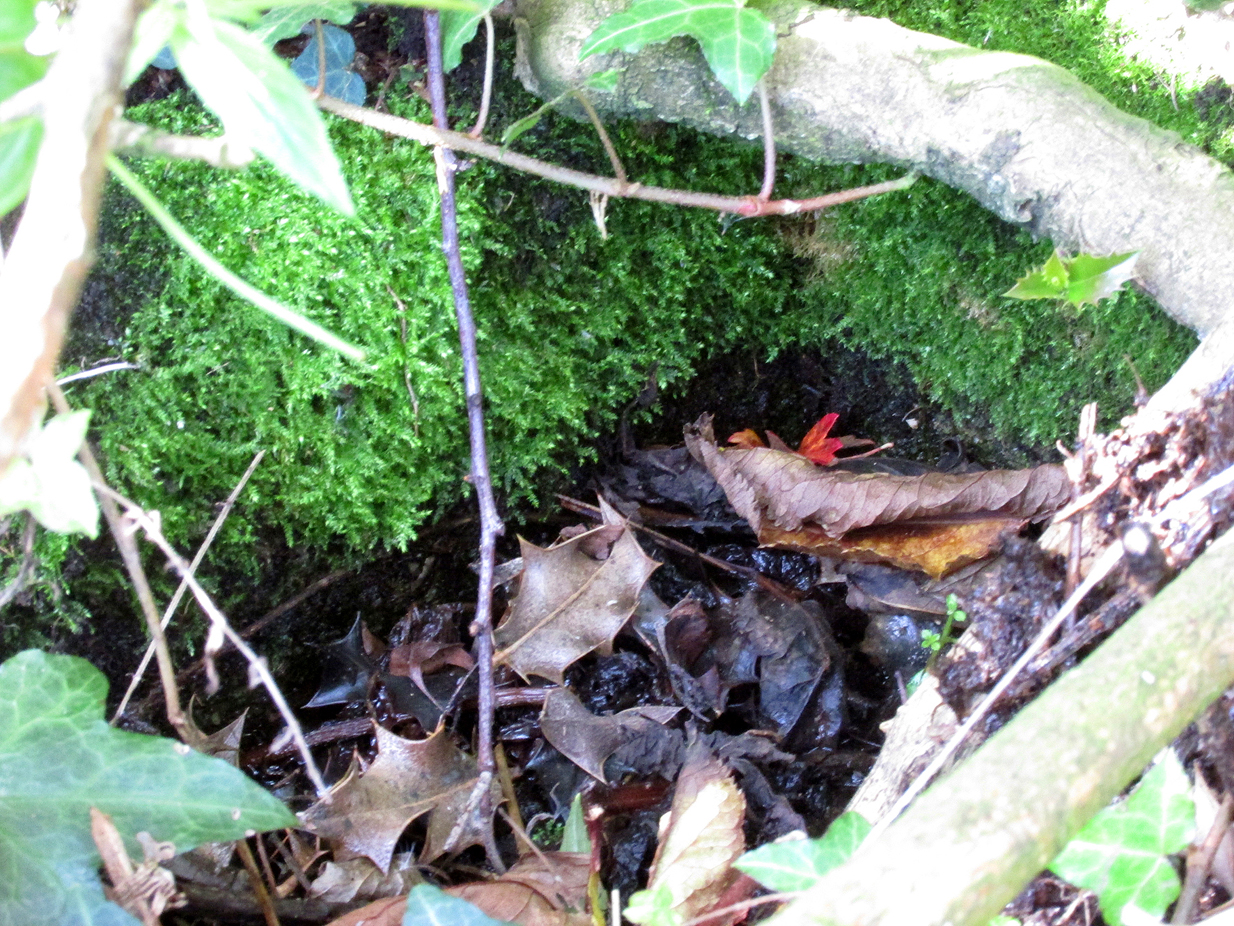
The leaf-filled cross-base

In view of the continuity of Catholic ownership and worship at the Hill Chapel site over the road since before the Reformation, and the sustained persecution suffered by local Catholics in the centuries following the Reformation, it is very unlikely that they would have drawn attention to themselves by erecting the Cross, making it almost certainly of pre-Reformation construction.

Reference:

  1. Anonymous, Hill Chapel Goosnargh, privately published pamphlet available from Hill Chapel, n.d..

© Paul T Hornby, The Northern Antiquarian, 2018


Market Cross, Glanton, Northumberland

Cross (destroyed):  OS Grid Reference – NU 0708 1445

Archaeology & History

This site has long since gone, but its existence is worthy of note.  Indeed, when Dippie Dixon (1895) wrote about it in his classic work, faded memory was all he could tell of it too, saying:

“Glanton once possessed a market cross.  Not a vestige of it now remains; but it is said to have stood about the centre of the village, on a slight knoll facing the Whittingham road…”

This would place it close to the old Red Lion pub.  Old crosses that are found at the centre of a village or township represent (albeit forgotten) the spot whence the community was born: a faded form of an omphalos, in the christian guide; later debased into little more than where markets and trade was done. When the ‘market’ wasn’t active, it was the gathering place for local people. As George Tyack (1900) told us:

“The village cross, in its more humble way, played the same part in the rustic life of its neighbourhood as did the high cross in the more bustling life of the town. Such public matters as stirred the still waters of rural existence were there discussed: the items of news from the great world without that reached the village gossips were there recounted, and the summons to the yearly Manorial Court, and other notices not suitable for procalmation in church, were there made public.”

This is the mundane function of the cross.  In its earlier status, it was the animistic symbol not only of the centre of the village, but the origin of the world itself, where moots or gatherings took place annually, calendrically, to ritually re-establish and commemorate the birth of the local tribe and their world through consecration.  But all of this has long since faded…

References:

  1. Dixon, David D., Whittingham Vale, Robert Redpath: Newcastle-upon-Tyne 1895.
  2. Eliade, Mircea & Sullivan, Lawrence E., “Center of the World,” in Encyclopedia of Religion – volume 3, MacMillan: New York 1987.
  3. Tyack, George S., The Cross in Ritual, Architecture and Art, William Andrews: London 1900.

© Paul BennettThe Northern Antiquarian

Fuke Well, Pudsey, West Yorkshire

Healing Well (destroyed):  OS Grid Reference – SE 22 33

Archaeology & History

Ths curiously-named site is described just once in very early field-name records as the ‘Fukewell’.  Included in A.H. Smith’s (1961) magnum opus, he passes over the place-name without comment.  But in finding his 12th century literary source, we read that it was located on some land given to the monks of Kirkstall Abbey, Leeds.  Written in early disjointed Latin, we find that the Fukewell was mentioned on a grant that described five acres of land given by one Adam Samson to the monks of the Abbey.  On one of the acres was a site known as the Cold Well, whilst the Fuke Well was found on a piece of land adjacent to a house, but its precise location seems to have been lost.  Nothing is mentioned about it by great Pudsey historan Simeon Raynor, despite him naming a number of other wells in the area – so we must presume that the site had already gone when he came to write his work.

But what does the word fuke actually mean?  There is nothing to explain it in Wright’s Dialect Dictionary, nor other regional dialect or place-name works.  I was wondering if it derived from the old english word ‘fuck’, which was common parlance in earlier centuries.  ‘Fucking’ was a word that didn’t have the debased christian ideology attached to it: of something not to be talked about, or be hidden.  To have a fuck, or go fucking, was always quite normal; and to most people in the real world we use the same term with absolute ease – because we all do it!  But this etymological idea is pure speculation on my part.  Can anyone give clear light to fuke’s real meaning?

References:

  1. Fryer, Peter, Mrs Grundy, Dennis Dobson: London 1963.
  2. Lancaster, W.T. & Baildon, W. Paley (eds.), The Coucher Book of the Cistercian Abbey of Kirkstall, Thoresby Society: Leeds 1904.
  3. Smith, A.H., The Place-Names of the West Riding of Yorkshire – volume 3, Cambridge University Press 1961.

© Paul BennettThe Northern Antiquarian 

Gawk Hall Stone, Middleton Moor, North Yorkshire

Cup-Marked Stone:  OS Grid Reference – SE 13004 53097

Getting Here

Gawk Hall Stone

Probably the easiest route to find this is via the Roman Road from Blubberhouses. Go up Cooper Lane a few hundred yards, turning right (west) on the footpath past the Manor House and onto the moor. Walk along the footpath until you hit the dead straight Roman Road and walk 1⅓ miles (past the cup-marked Eagle Stone) until you meet another footpath on your right veering over the haunted Sug Marsh away from the straight road. This takes you to Gawk Hill Gate ½-mile away. Go over the wall here and walk for 350 yards where several stones are just yards to the left of the path. You’re there!

Archaeology & History

…and again!

Depending on the age of the old path by which this carving lies, it may have represented a marker of the ancient route.  It lives in relative isolation from other petroglyphs a mile or so further down the moorland slopes and is probably one only for the purists amongst you.  A smoothed (female) medium-sized rock, about 2 yards by 1 yard across, possesses at least two simple cup-marks on its upper western surface. A third cup seems evident between the main two cups, with a carved line running some 10 inches towards the eastern side of the stone.  What may be several other cup-marks can be seen on the stone, but the day was overcast when we came here and so we’re unsure as to whether they’re natural or man-made.

Acknowledgements:  Many thanks to James Elkington and his little compatriot Mackenzie, who accompanied us to this and other sites nearby.

© Paul BennettThe Northern Antiquarian


Heygate Stone, Baildon, West Yorkshire

Cup-and-Ring Stone:  OS Grid Reference – SE 15942 40187

Archaeology & History

Heygate Stone

This excellent cup-and-ring marked petroglyph was found fortuitously in September 2001 by the land-owner at Near Hey Gate field to the northeast of Baildon village.  He was clearing out remains of some old walling in the field and, adjacent, a rock that was protruding out of the ground got turned over.  Underneath it he noticed a series of very well-preserved cups and rings in a cluster near one part of the rock.  It was a bittova beauty to be honest!

Thankfully due to the subsequent efforts of local rock art students Mike Short and Keith Boughey, it was later re-housed in the Brackenhall Centre at the edge of Shipley Glen.

Enhanced rendition of Boughey’s Heygate Stone rubbing
Computer-enhanced image of the carving

The stone itself was once larger than it now is and may have had additional carved elements on it, but the other portion that had broken off wasn’t located when it was first dug out of the ground.  This may mean that it was moved here from another location, which would have been somewhere close by.  Many other petroglyphs exist in and around the Baildon district.As we can see in the images here, two very well-defined double cup-and rings have clusters of smaller singular cup-and-rings around their edges.  A single cup-mark was etched below the largest of the double-ring carving, and what seems like a carved straight line emerges from the largest of the single cup-and-ring.

References:

  1. Griffiths, Kathie, “Historic Stone Back Home on Moors,” in Telegraph & Argus, 11 November, 2006.
  2. Short, Mike, “The Heygate Stone,” on Megalithic Portal, 21 November, 2006.

Acknowledgements:  Big thanks to Mike Short for his info and to Keith Boughey whose rubbing I’ve touched-up and used in the site profile.

© Paul BennettThe Northern Antiquarian


Holy Well, Baildon, West Yorkshire

Holy Well (destroyed):  OS Grid Reference – SE 1609 3961

Archaeology & History

This site is all but unknown to the great majority of folk in Baildon, and even some of the local historians have let it slip from their investigative tendrils.  According to the primary Baildon historian, W.Paley Baildon, it was first known as the ‘Halliwell Holy Well’.  In his magnum opus (1913-26) of the township he relates that,

“The 1852 Ordnance map marks Halliway Banks Wood to the south of Langley Lane, with a well just below it, and a footpath from Holden Lane to the well.  Halliway, I think, is a corruption of Halliwell, the ‘holy well,’ with the special footpath leading to it and nowhere else.  Haliwell Bank occurs in (the Baildon Court Rolls of) 1490, when it formed part of the property held by William Tong of Nicolas Fitz William.”

This etymology is echoed by the great place-name authority A.H. Smith (1954).  It also caught the attention of archaeologist Andrea Smith (1982), in her investigation of twenty-five holy wells in the West Yorkshire region.

“Many wells,” she wrote, “are recorded simply as ‘Holy Well,’ or the various forms ‘Halliwell,’ ‘Helliwell’ and ‘Hollowell.’  It is possible that in these instances the identity of the patron saint or guardian of the well has been forgotten, which may be the case with the site at Collingham, now known as Hollowell.”

Site of the Holy Well in 1852

The well itself can no longer be seen.  When I looked for the site in 1982, I found that to the right of where the 1852 map showed it, was a waterworks lid covering the old holy waters, just in the trees atop of the field beneath a great sycamore with a number of small stones roughly encircling the site: perhaps the only possible relics of the century before when the waters would have been used.  A stone trough was situated at the bottom of Holden Lane, fed by the waters from the Halliwell and from here the course of the stream meandered down the side of Slaughter Lane, now known as Kirklands Road.  The land around Halliwell became known as Kirkfield, or field of worship.

A local resident told how during autumn and winter, the left side of the field gets extremely boggy – the region were the old stream ran from the old well, along which dowsers have found aquastats abound.  Now however, houses have been built where the waterworks-lid used to be and is likely to be in someone’s backyard, all but forgotten.

Folklore

According to local lore, the site of this most ancient of holy wells was found in the warmest place in the Baildon district.  Whilst its geographical position doesn’t necessarily suggest this (although it did face south, into the sun), this lore may reflect some healing aspect of the well that has long since been forgotten.

Perhaps relevant to Andrea Smith’s comment about there being ‘guardians’ at holy wells is found in folklore relating to nearby Holden Lane: locals in the last century also referred to it as Boggart Lane, so called after the Boggart which was seen there in the form of a spectral hound that was said to possess large glowing red eyes and was a sign of ill omen.  Modern sightings of the spectral hound, which appeared along the road which led to the old well, are unknown.

References:

  1. Baildon, W. Paley, Baildon and the Baildons (parts 1-15), St. Catherines: Adelphi 1913-26.
  2. Smith, A.H., English Place-Name Elements – volume 1, Cambridge University Press 1954.
  3. Smith, Andrea, ‘Holy Wells Around Leeds, Bradford & Pontefract,’ in Wakefield Historical Journal 9, 1982.

© Paul BennettThe Northern Antiquarian


Lower Headley Farm, Thornton, Bradford, West Yorkshire

Tumulus (destroyed):  OS Grid Reference – SE 099 321

Archaeology & History

Headley Farm urn

There are no longer any remains of the prehistoric burial site that once stood in one of the fields by Lower Headley Farm.  We don’t know whether the site was a cairn, a tumulus, or just a stone-lined cist; but in all probability it would have been a low rounded hillock whose existence had long since fallen out of oral tradition.  All that we do know is that in one of the fields by the farm, some very well preserved urns—either neolithic or Bronze Age by the look of it—were unearthed, indicating a site of prehistoric provenance.

The finds were described only briefly in the first edition of the Bradford Antiquary (1888) journal, where it was reported:

“During the spring of 1880 an interesting discovery was made by Mr. Abraham Craven, quarryman, of Thornton.  The ‘find’ comprised three funeral urns, which Mr. Craven turned up while baring a portion of a field in Lower Headley Farm, the property of the trustees of Sowerby Grammar School.  The discovery was made within a short distance of the surface, the pottery presenting undoubted indications of pre-Roman origin.  From evidence collected upon the spot, and the appearance of the pottery, two of the urns were about 14in in height, 9in across the top, 11½in at the widest portion of the bowl, and 6in at the foot.  One of the urns was of sun-burnt clay, with rude markings, the other having evidently been subjected to fire.  No coins, personal ornaments, or other indications of civilisation, were found in the urns, but each one contained human dust and bones.  From the fact that several other urns have been met with in the immediate vicinity, equally rude in type, evidence is not wanting that the picturesque mound upon which Headley is situate was inhabited at a very early period of British history.”

References:

  1. Anonymous, “Valuable ‘Find’ at Headley, near Thornton,” in Bradford Antiquary, volume 1, 1888.

© Paul BennettThe Northern Antiquarian


Cloven Hoof Well, Shipley Glen, West Yorkshire

Sacred Well:  OS Grid Reference – SE 12839 39331

Also Known as:

  1. Raygate Well

Getting Here

Cloven Hoof Well, Shipley Glen

On the roadside at Shipley Glen, from Brackenhall Circle walk up for about 250 yards, where you’ll notice the land dips as it drops into the woods below. Follow this dried stream down until you reach the mossy Loadpit Beck in the valley.  By the waterside is a footpath: follow this upstream for a short distance, keeping your eyes peeled on the Earth below where a smaller stream crosses the path you’re walking on.  Follow this uphill to its source!

Archaeology & History

Halfway up (or down) the moss-covered waters of Shipley Glen the all-but-forgotten waters of the Cloven Hoof Well still flows nice and freely, and is still good to drink. It was shown on the first OS-map of the area in 1852, where it was called the Raygate Well, whose derivation neither the great Baildon historian W. Paley Baildon nor the place-name giant A.H. Smith could account for.  It sounds just like it was someone’s surname, but local genealogy cannot affirm this.  One possibility—and which reflects in the local lore of the site—is that it’s a compound word from the old northern dialect word Rea, “an evil spirit or demon”, and gate, “a hole, an opening or gap.”  The terms are used in a prayer given in Mr Sinclair’s Satan’s Invisible World Displayed (1814),

“as recited in the time of Popery by persons when going to bed, as a means of them being preserved from danger:

“Keep this house from the weir…
And from an ill Rea,
That be the gate can gae.””

But this purely speculative….

Cloven Hoof Well on 1852 map

A photograph and brief description of the Cloven Hoof Well was given in an early edition of the Bradford Scientific Journal after a geological excursion to Shipley, though nothing was said of its curious name. However on a rock below the spring, a hoof-print mark is clearly seen.  It appears to be part-natural and partly enhanced.  This is an area rich in prehistoric petroglyphs, or cup and rings stones.

Mosses thankfully still cover the rocks from whence the waters flow; and bilberry, blackberry, male fern and bracken also grow around it.  Psychoactive plants also abound nearby. The water is healthy and never seems to dry up, even during long warm summers.  And below here, on the other side of the stream at the bottom, you can visit the little-known Wood Well

Folklore

Local lore told that the devil stepped here and left his hoof-mark in the rock, making the waters rise from the Earth.  Possibly a venerated site in earlier days, one finds numerous ancient remains nearby (cup and rings, stone circle, walling, cairn fields).  Pagans amongst you should love this place!

References:

  1. Armitage, Paul, The Holy Wells and Healing Springs of West Yorkshire, forthcoming
  2. Baildon, W. Paley, Baildon and the Baildons (parts 1-15), St. Catherines: Adelphi 1913-26.
  3. la Page, John, The Story of Baildon, William Byles: London 1951.

© Paul BennettThe Northern Antiquarian