Cairn: OS Grid Reference – SE 10226 52648
Also Known as:
- Howber Pike
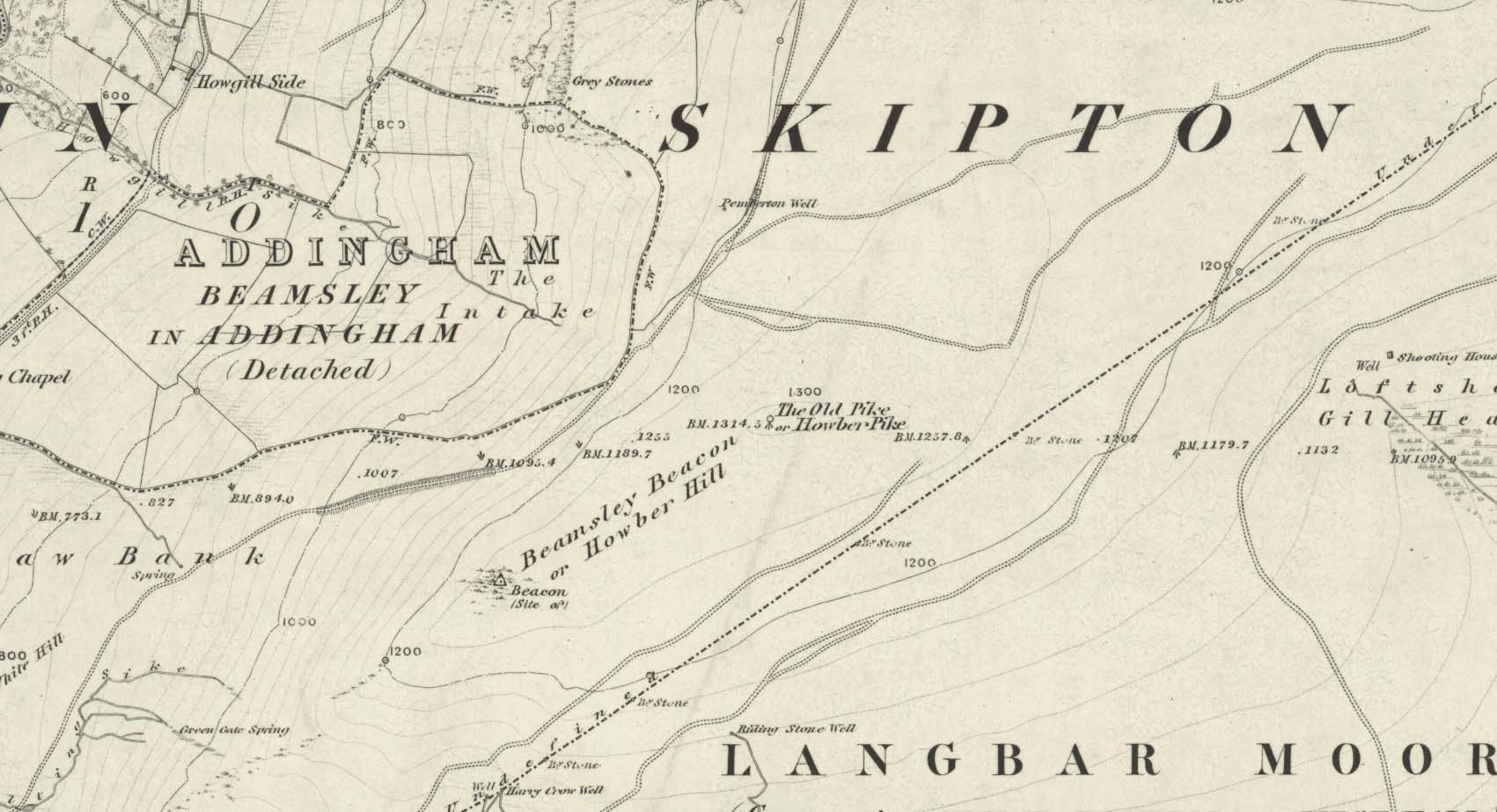
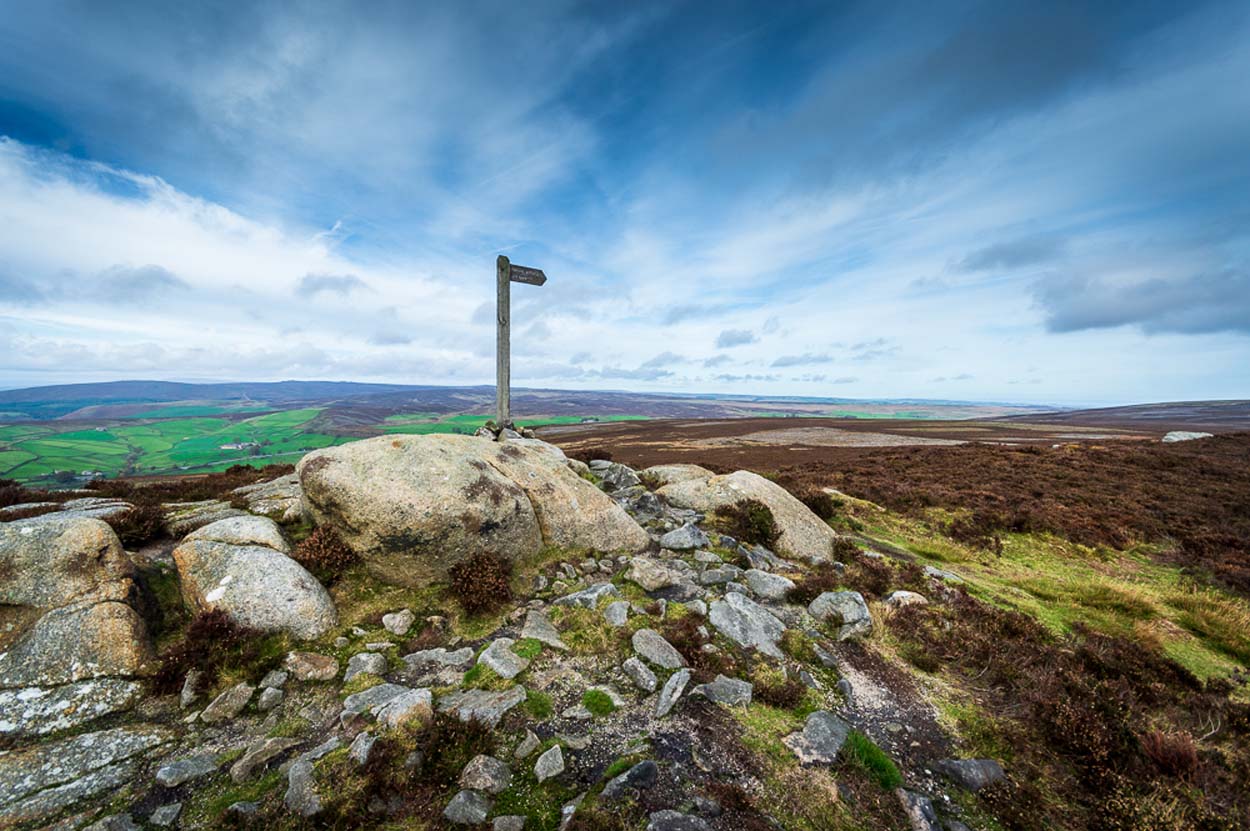
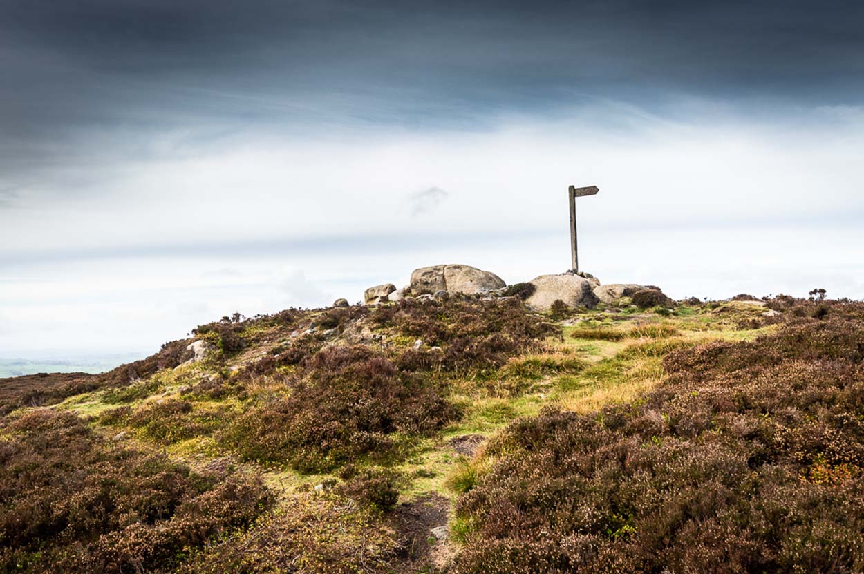
I prefer the much longer walk to this site, from Askwith Moor carpark some 5 miles to the west, but this wouldn’t be most folks cuppa tea. So for the lazy buggers amongst you: whether you’re coming via Ilkley (cross the bridge to Middleton and turn left, following the long winding road for several miles) or Bolton Bridge (hit Beamsley village and turn left up Lanshaw Bank), you need to get up to Langbar village. On the north side of the village is a distinct small rough carpark. From here, cross the road where the footpath sign is and walk straight up the steep hill to Beamsley Beacon at the top. Keep walking for exactly ¼-mile where you’ll find a large heap with boulders round its edge. You’re there.
Archaeology & History
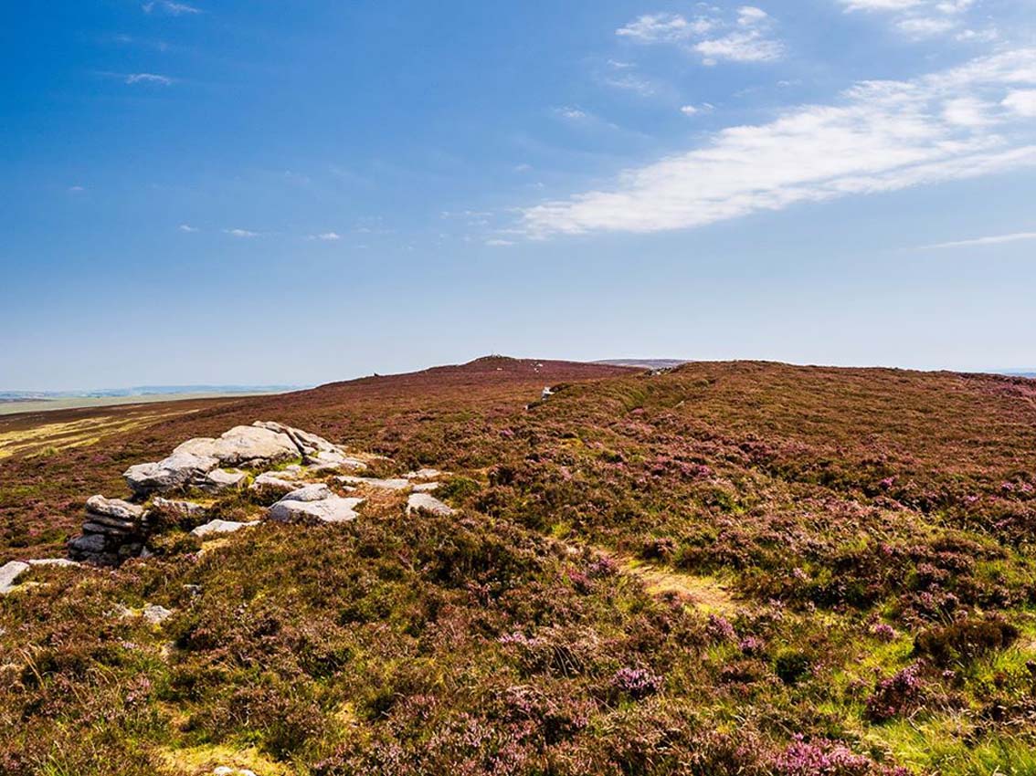
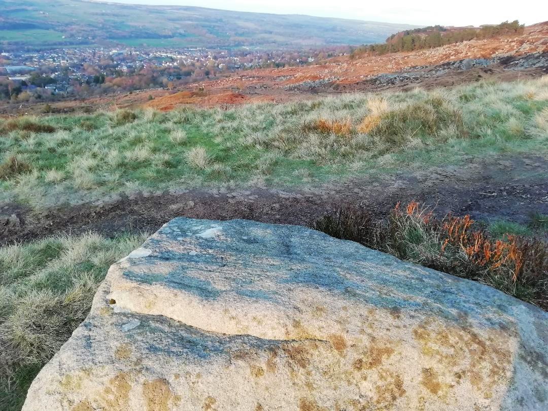
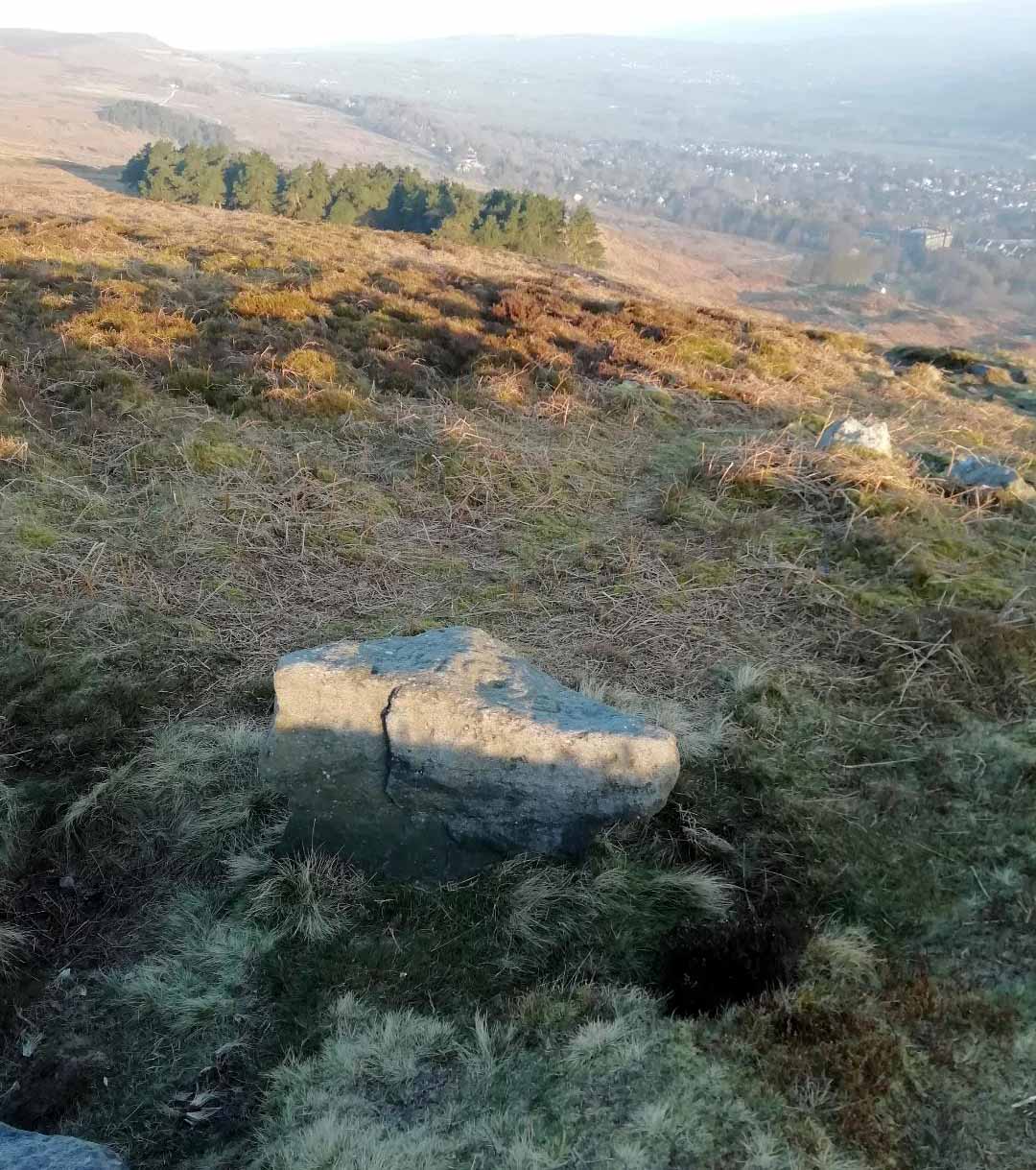
At the highest point of these hills where the moorlands of Langbar and Beamsley meet, is this prominent rocky pile on the same skyline as Beamsley Beacon. The two are ancient cairns, both robbed of most of their stones, but still a good site to sit and behold the vast landscape which reaches out for miles in all directions. And, from this highest point, looking south to the highest point across the Wharfe valley on Ilkley Moor, the remnants of another giant prehistoric cairn is visible: looking across at each other, eye to eye.
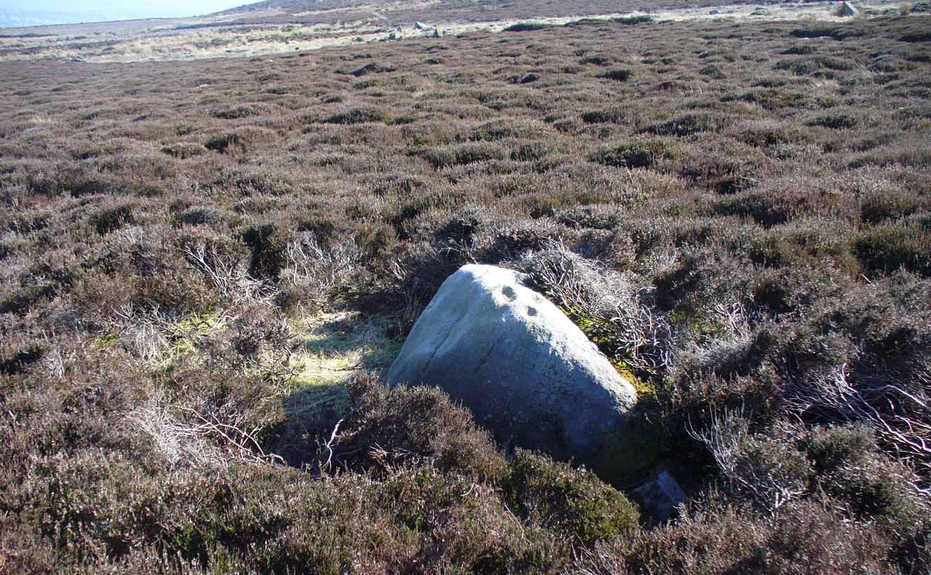
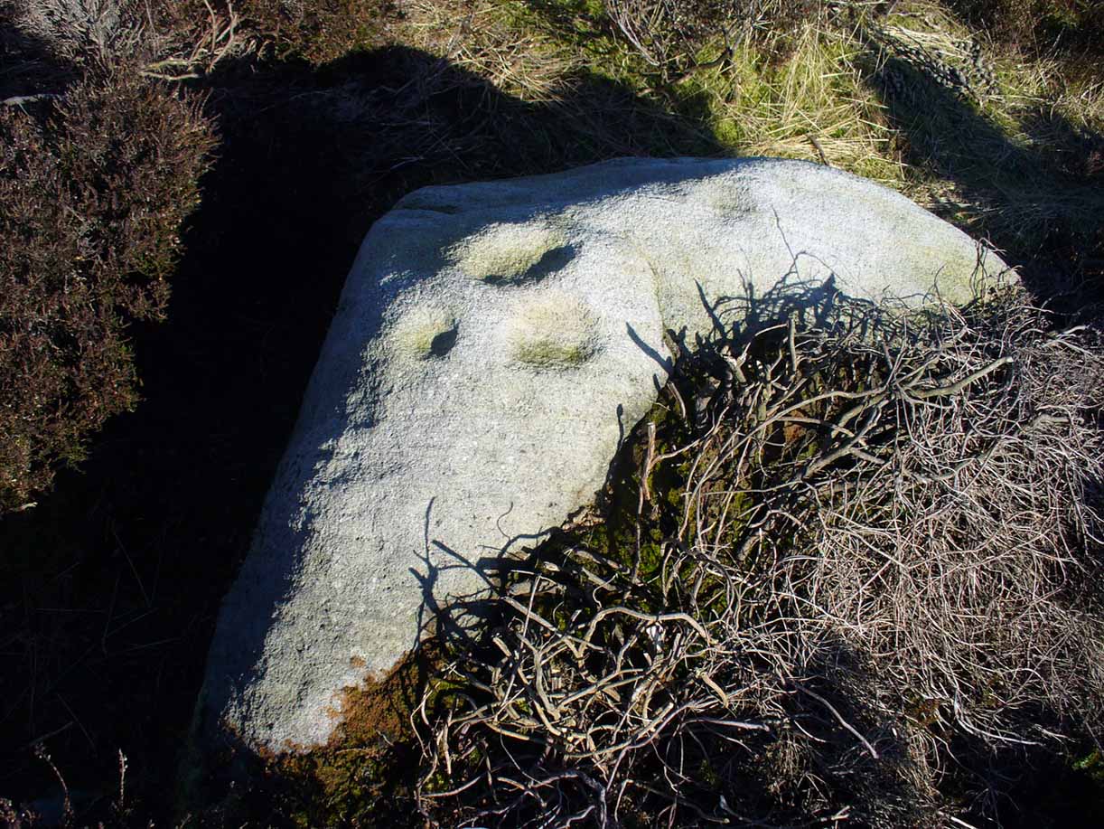
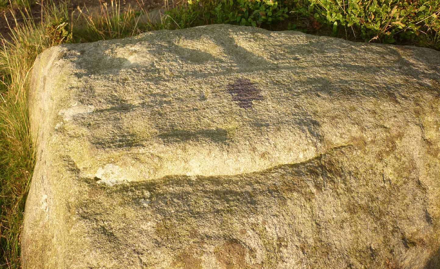
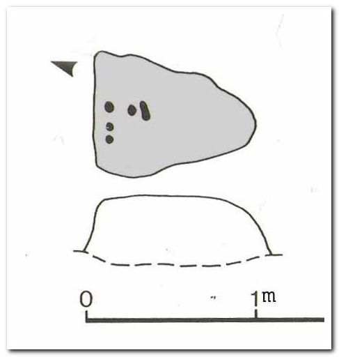
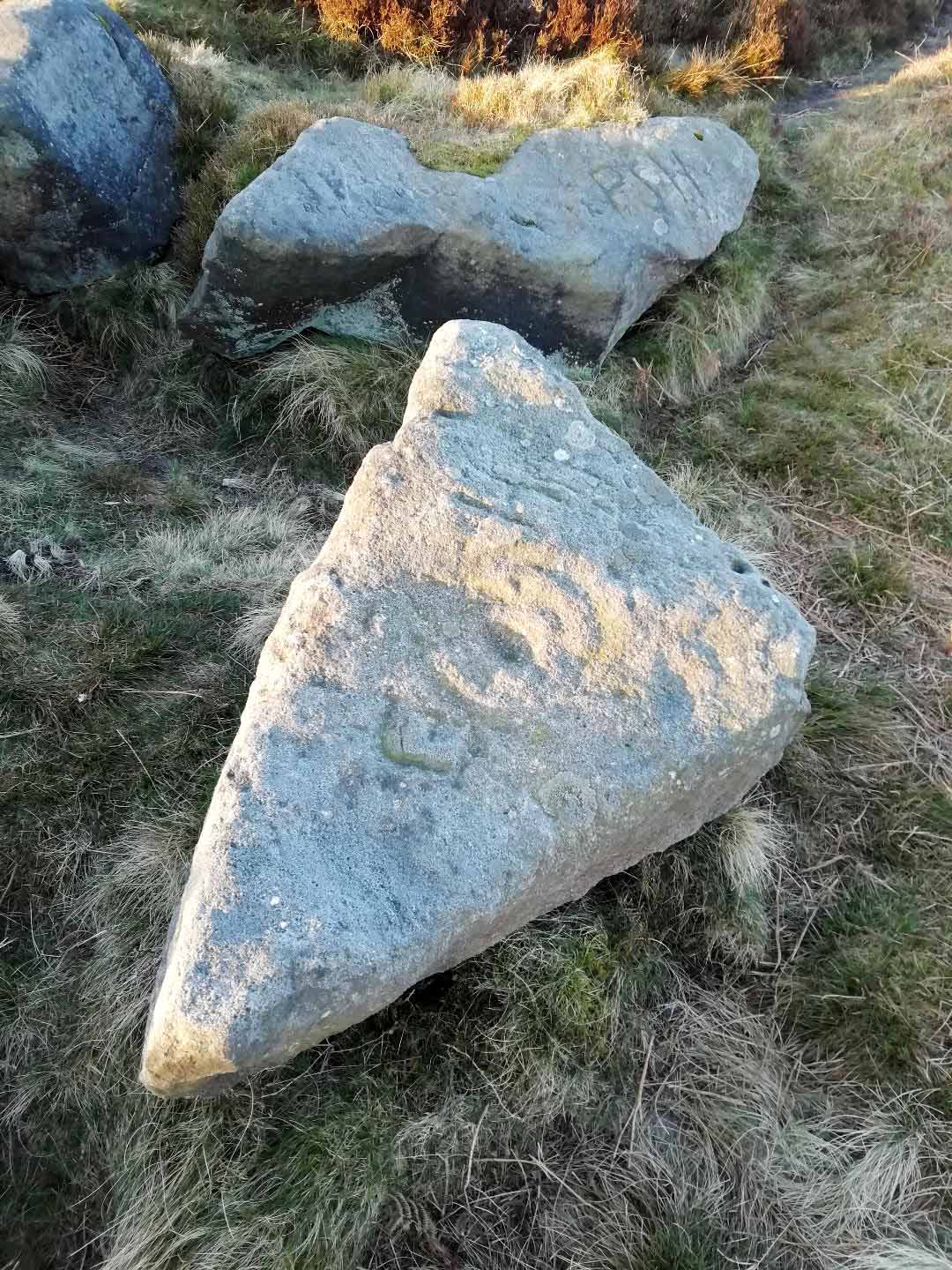
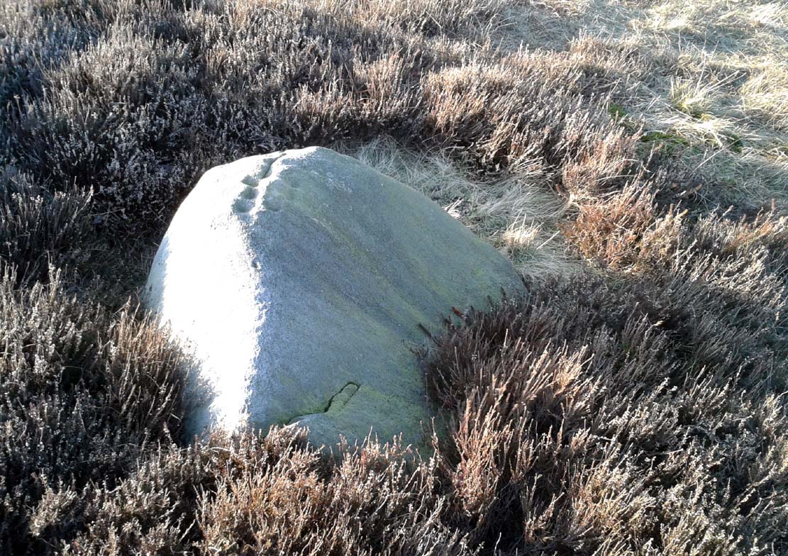
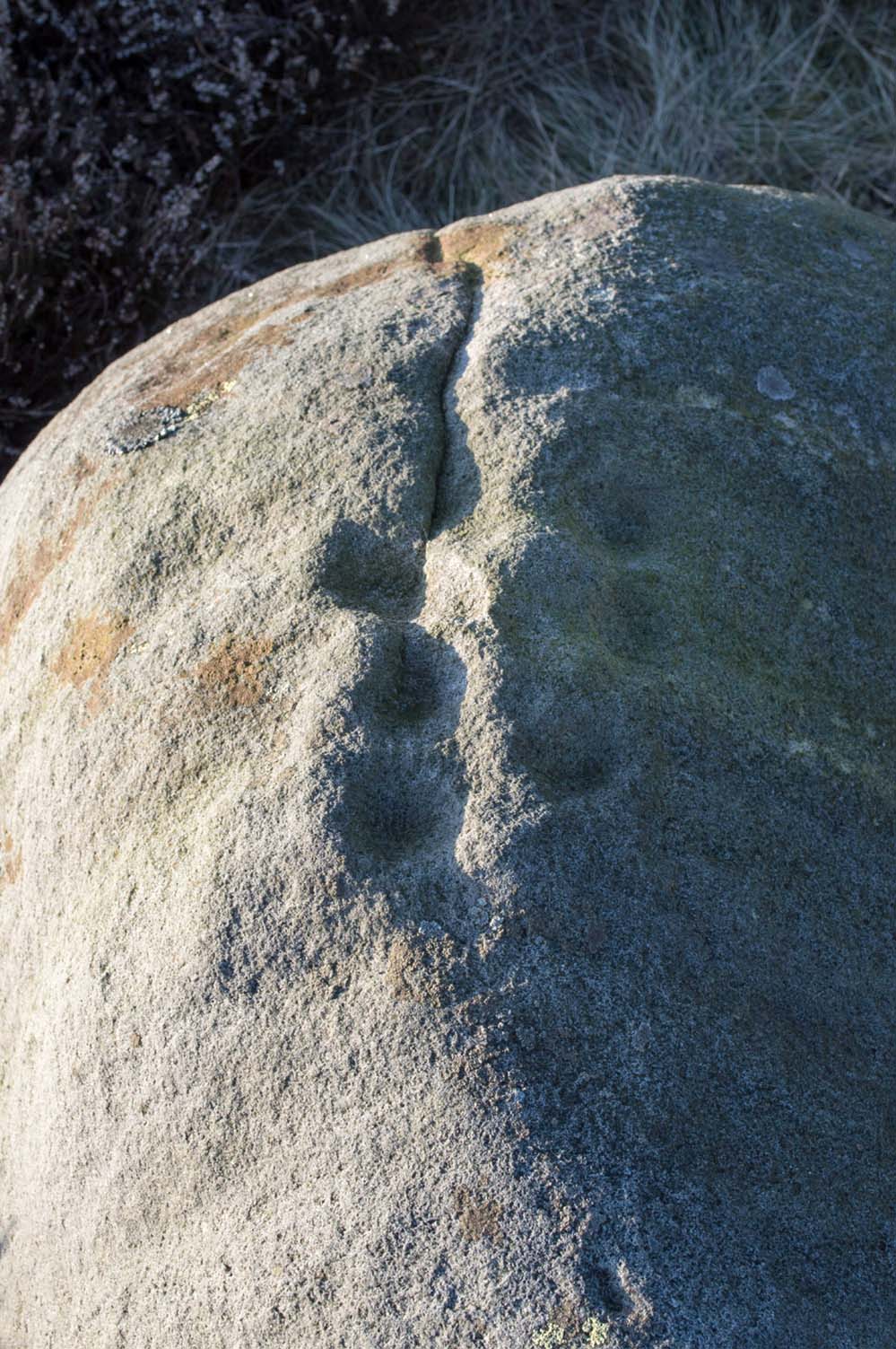
Of the two great cairns on Beamsley moor, The Old Pike is the more peculiar of the two because—unlike its partner along the ridge—several large boulders near its top give the impression of being Nature’s handiwork. This may be the case, but Nature isn’t the lass who laid down the mass of smaller rounded stones that are mainly visible on the west and southern sides. These have been placed there by people. But it’s not until you step back 40 or 50 yards that you get a more distinct impression of the place. The Old Pike rises up like a rocky nipple out of the heath, showing a very embedded overgrown man-made heap, typical of the overgrown prehistoric cairns that scatter our northern uplands.
The site is included on the archaeologist’s Pastscape website, albeit citing it as a ‘possible’ cairn. But the more we look at it, the greater the impression becomes that this old heap is man-made – certainly on its eastern and southern sides. The rise of boulders on its west may be natural, and then ancient man placed the cairn material up and around them. Only an excavation would tell us for sure. But its old name of Howber Pike tells a tale before we even visit the place. When the great Yorkshire historian Harry Speight (1900) came here he picked up on this element, telling us,
“Howber literally is the ‘Hill of Tombs’, from the Teutonic haugr and Anglian how, a burial mound, and berg also her, a hill, often fortified.”
The great place-name authority A.H. Smith (1956) not only echoes this but goes into greater etymological detail, noting that as well as haugr or how being “an artificial mound, a burial mound,” it’s a word that is particularly used in the northern counties. He does note however, that this may not always be the case and can sometime just relate to a “a hill or hilltop resembling an artificial mound.” However, we also find in Smith’s tome on place-name elements that the latter part of ‘Howber’ deriving from beorg, can also mean a tumulus or burial mound. But there are cases where this has been corrupted and means, as Speight states, a fortified hill. So at Howber Pike we seem to have the ancient name of some probable burial site. As for its neighbour a quarter-mile west, the giant cairn of Beamsley Beacon is also known as the Howber Hill….
References:
- Smith, A.H., English Place-Name Elements – volume 1, Cambridge University Press 1956.
- Smith, A.H., The Place-Names of the West Riding of Yorkshire – volume 5, Cambridge University Press 1963.
- Speight, Harry, Upper Wharfedale, Elliott Stock: London 1900.
Acknowledgements: Huge thanks to James Elkington for use of his fine photos on this site.
© Paul Bennett, The Northern Antiquarian