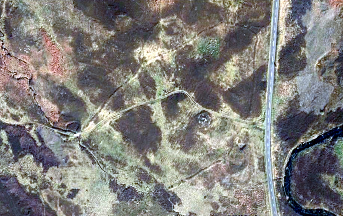
Settlement: OS Grid Reference – NN 84645 32074
Getting Here
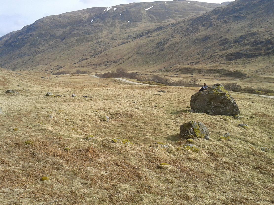
The setting of the remains
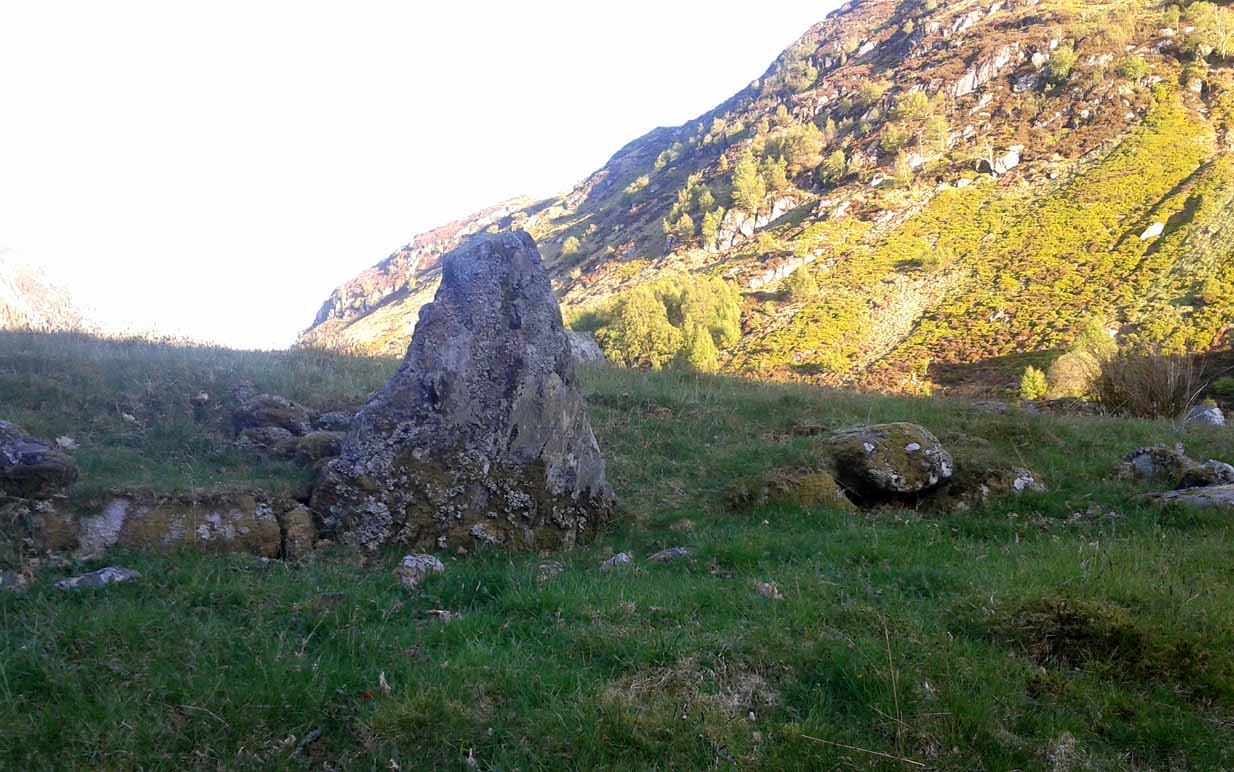
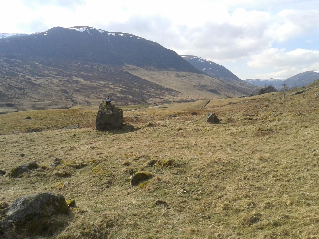
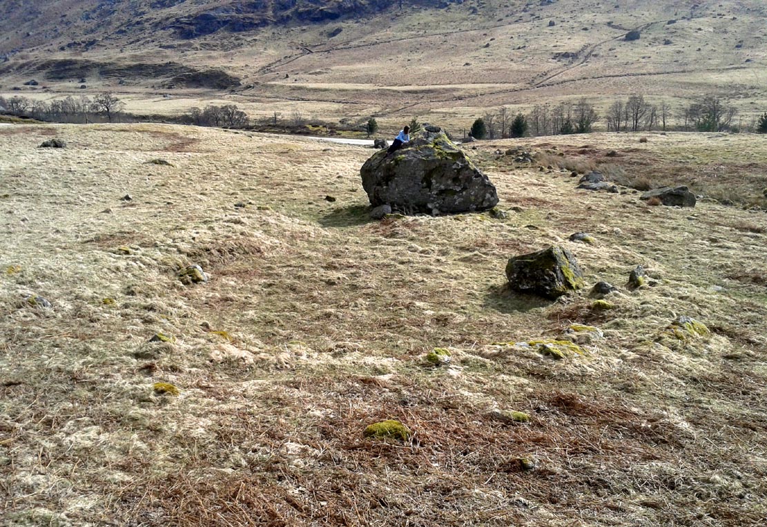
Park up and walk the long estate track up Glen Almond for nearly three miles until, on your left, you’ll see a small pond. From here, walk up the slope and, about 100 yards above you, note the large solitary boulder ahead, above the dyke of a small walled stream, where the land levels out. Just past the rock itself is the first of several remains.
Archaeology & History
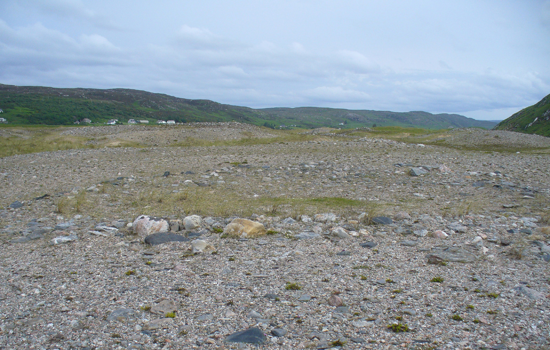
First things first: the grid-reference cited here is centred upon the largest of several rings of stone found on this small grassy plateau, 150 yards north above the River Almond, just past the huge boulder. It’s an impressive site – and a previously unrecorded one.
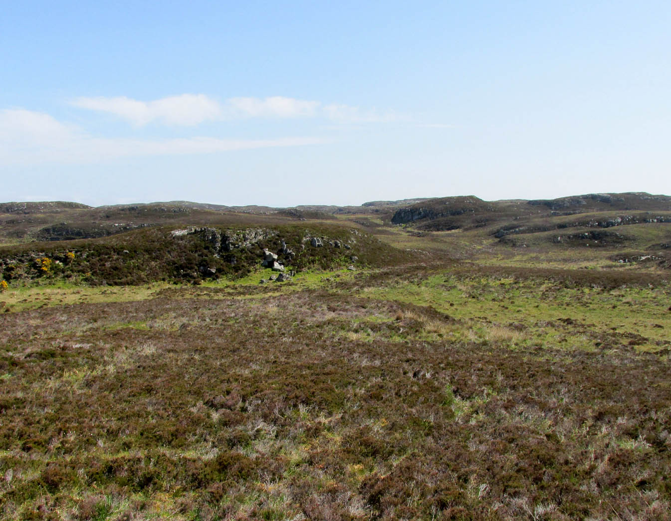
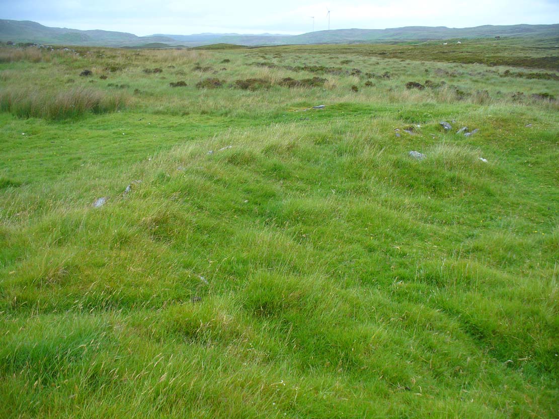
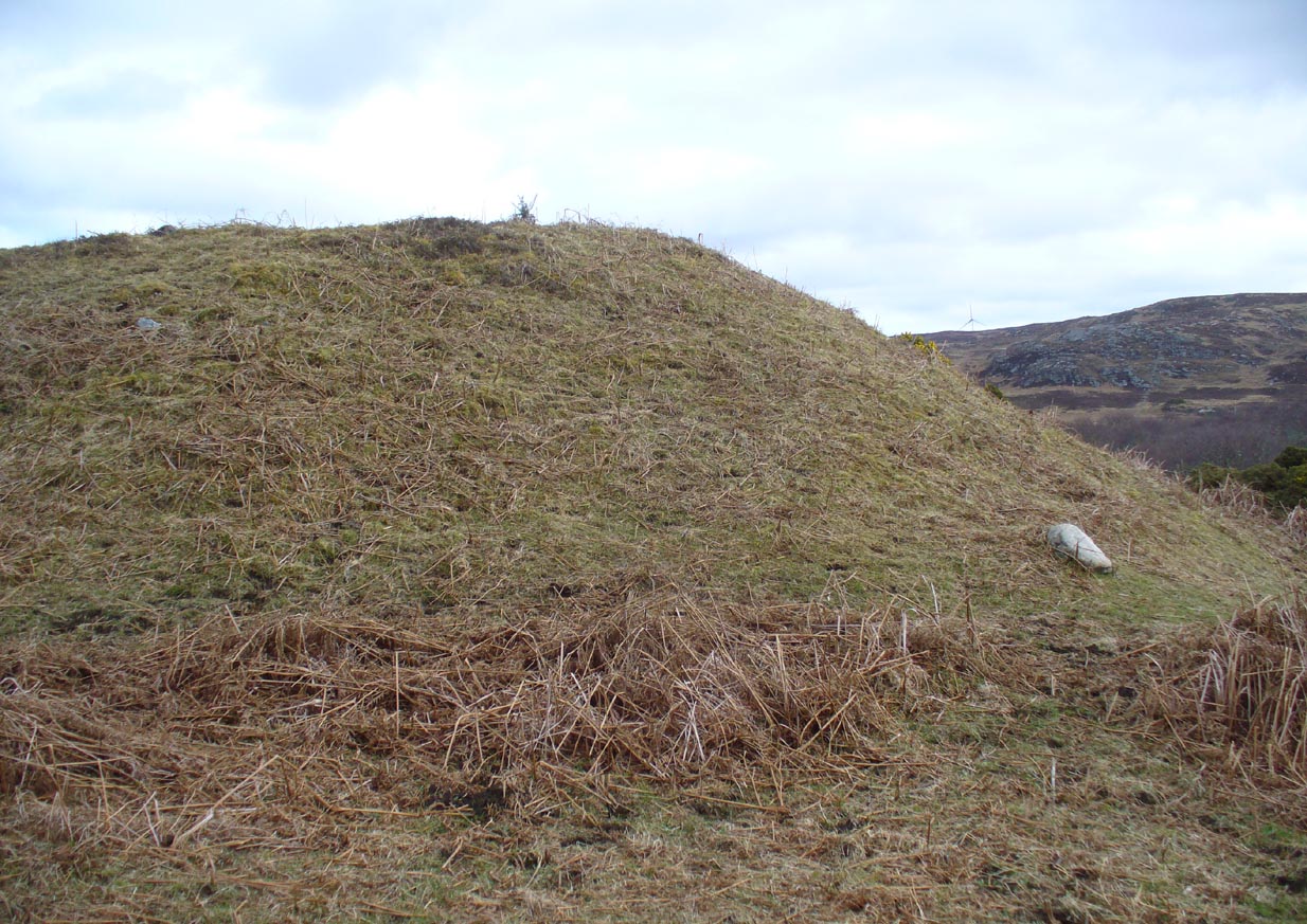
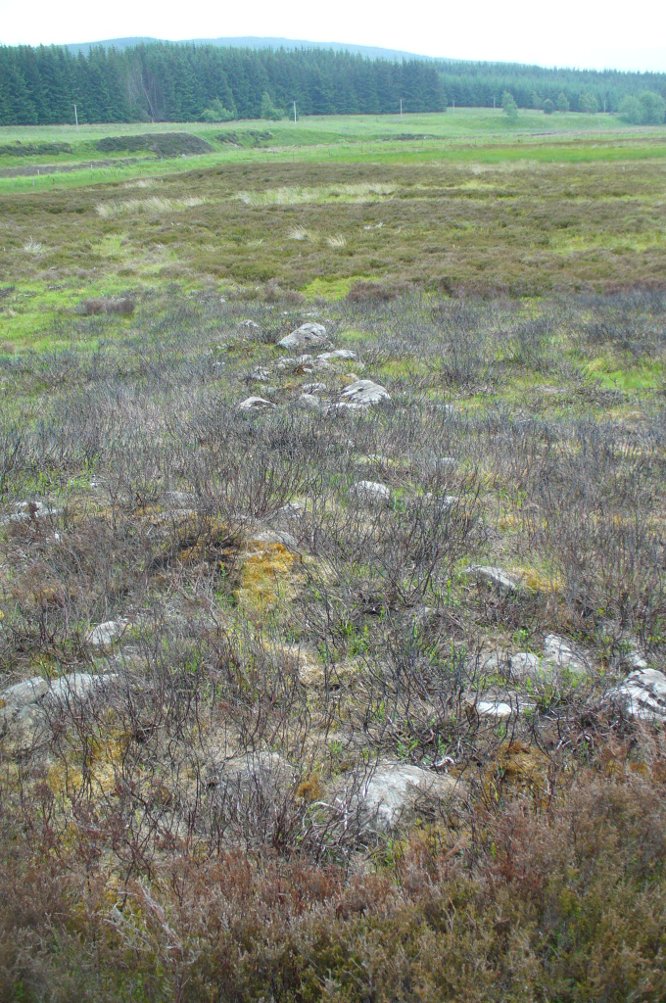
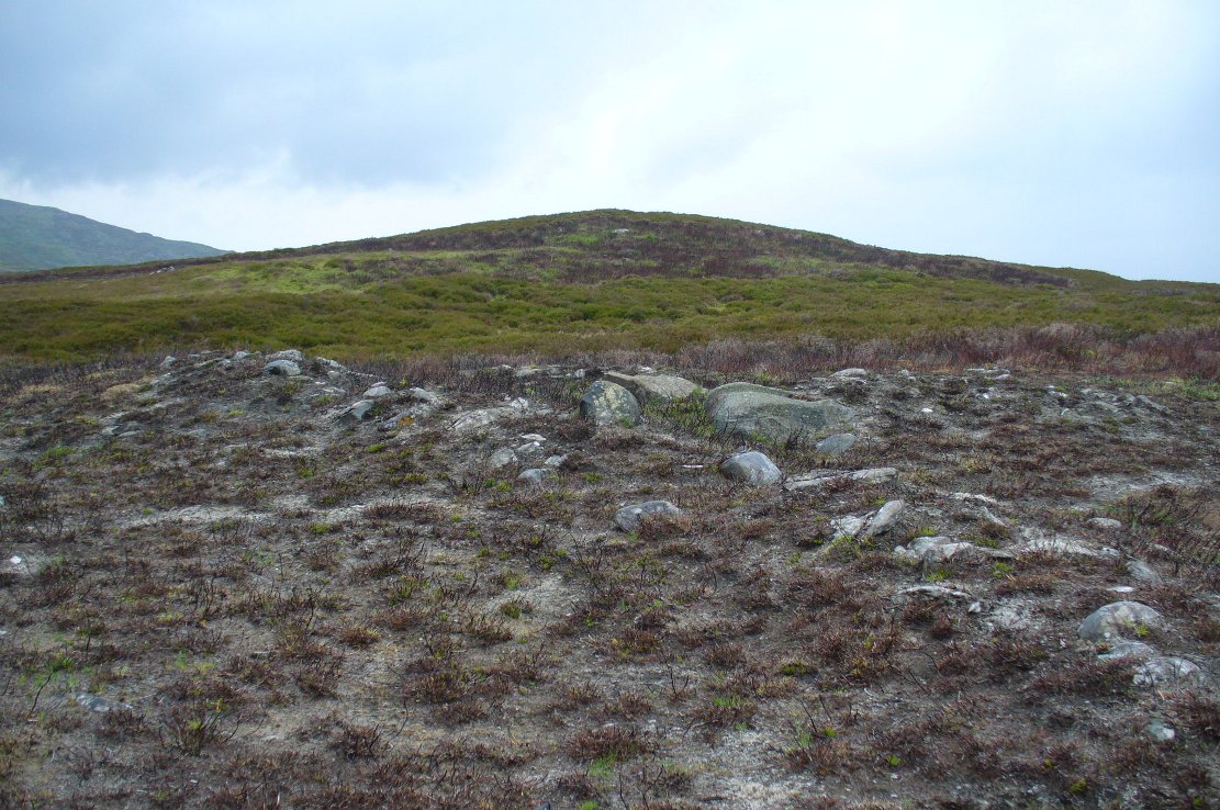
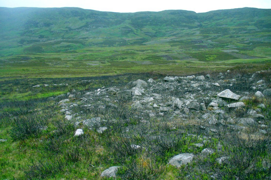
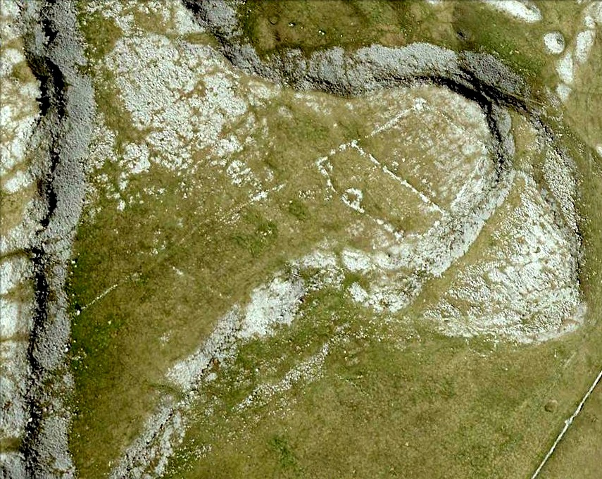
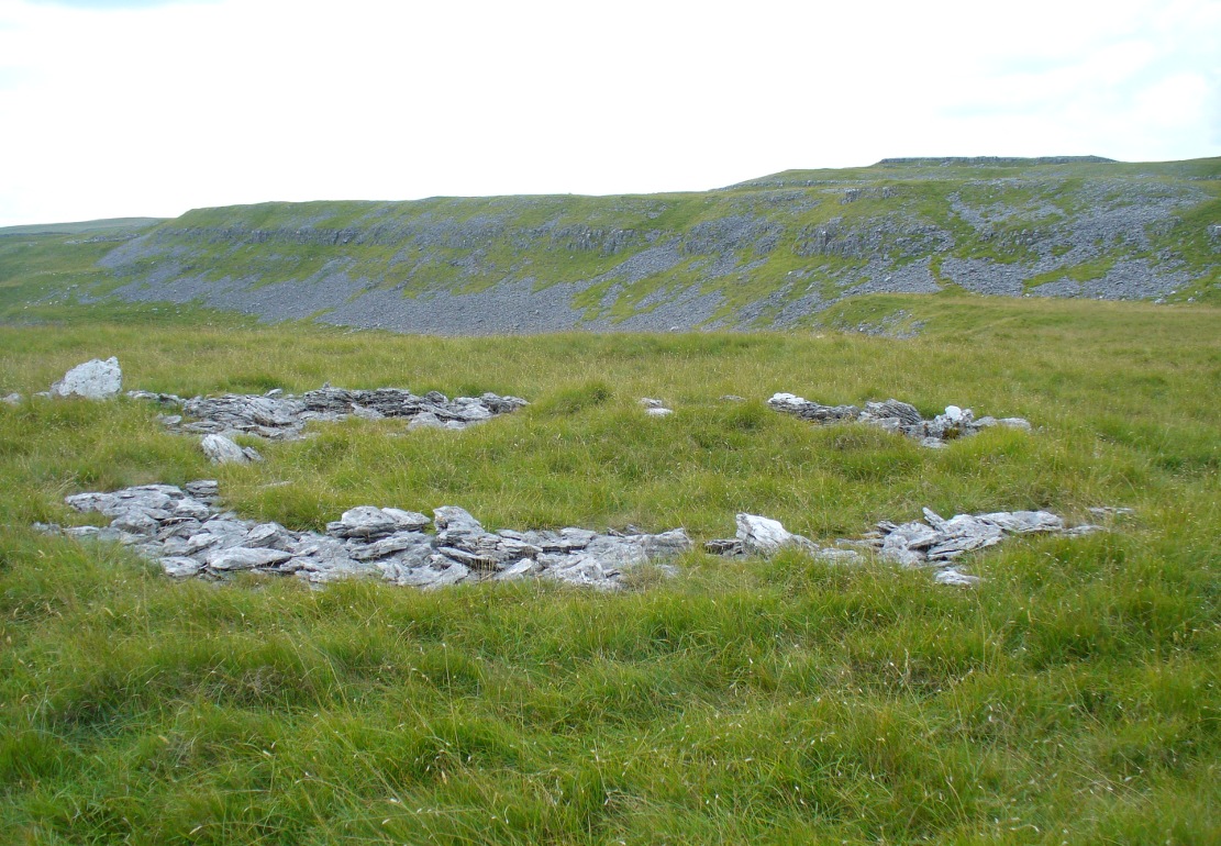
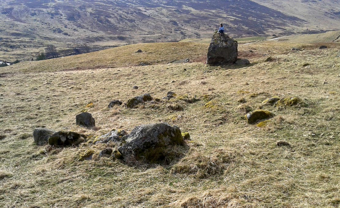
The raised ring of Conichan
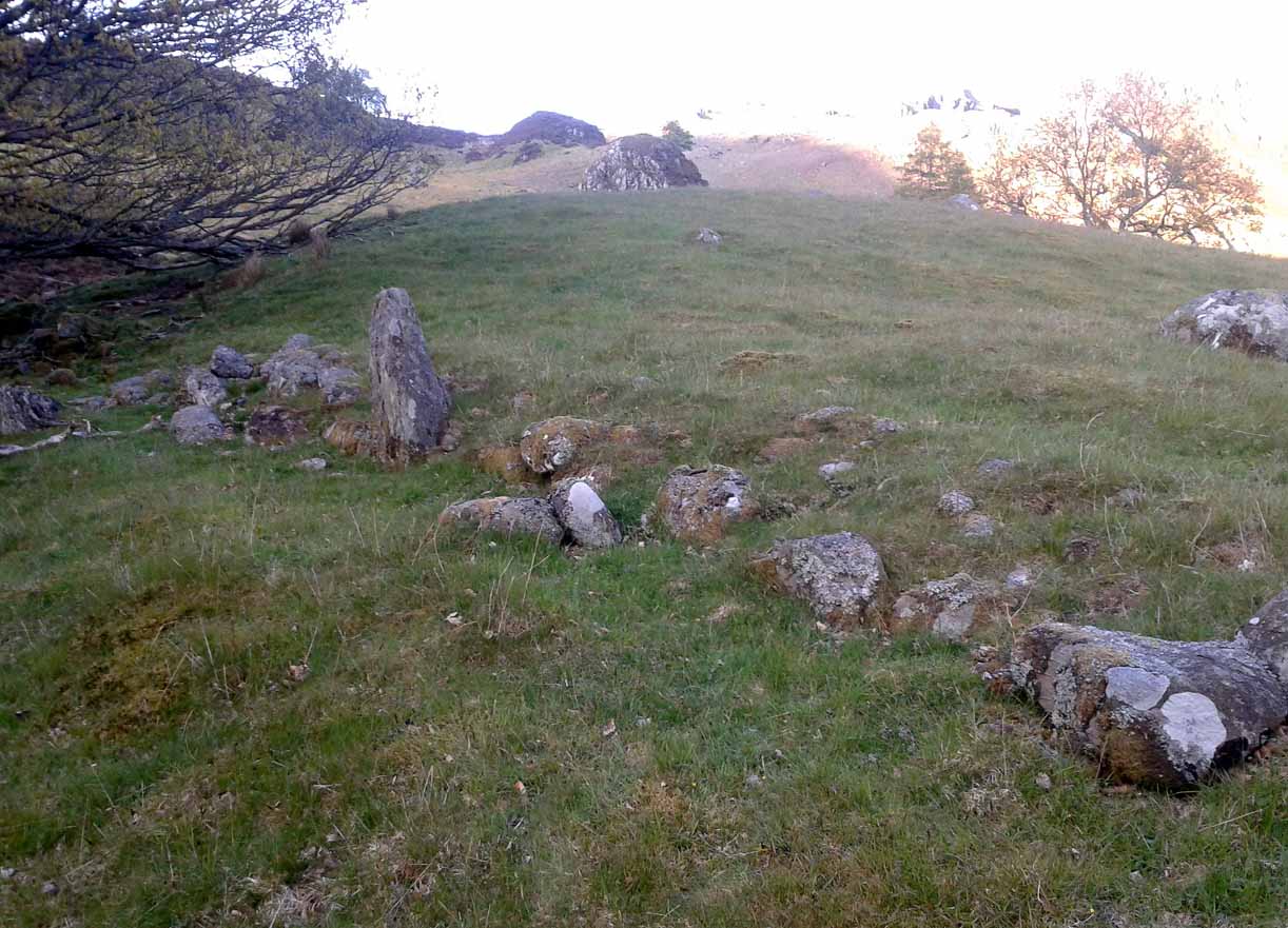
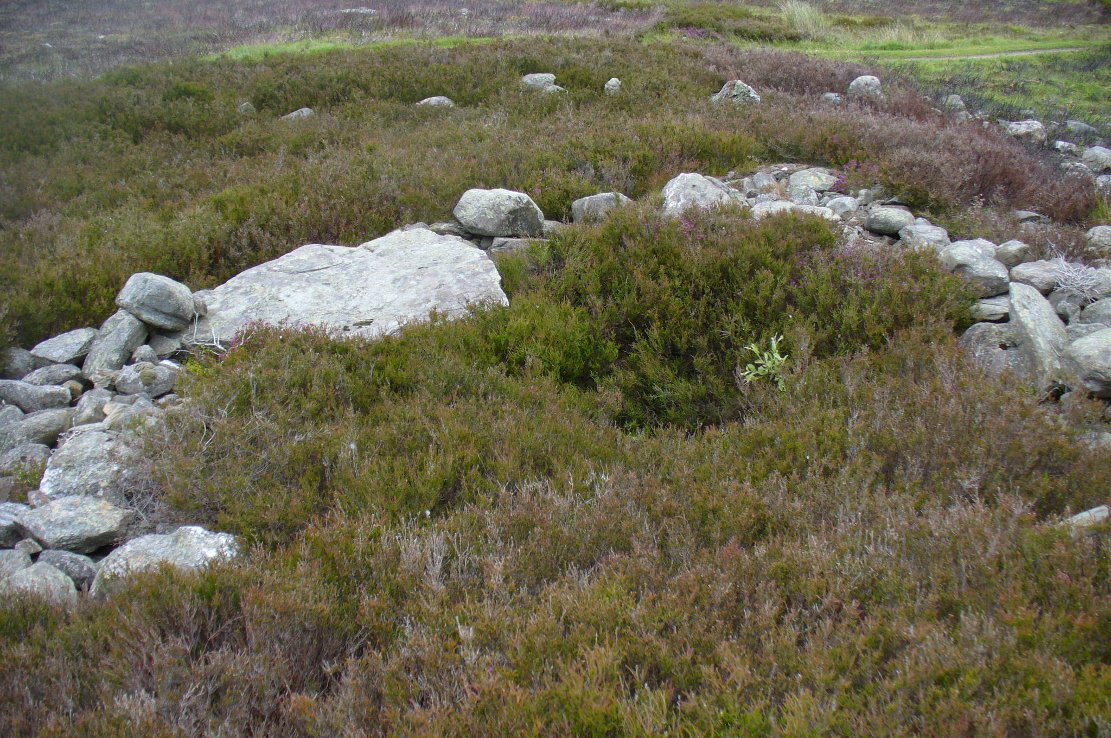
Looking southeast
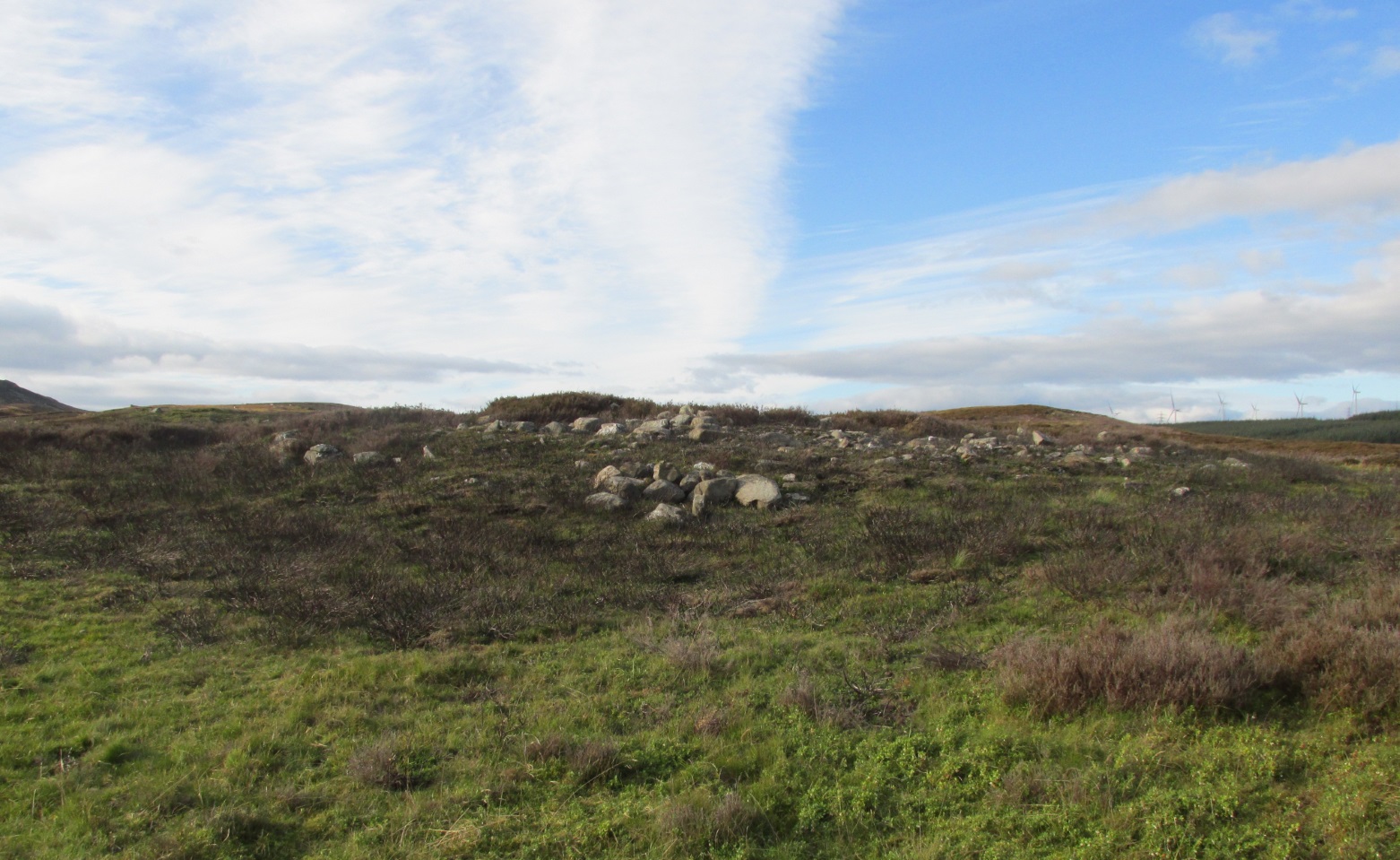
At least three large hut circles can be clearly seen on this small ridge, amidst a sea of prehistoric sites scattered all down this lonely Scottish glen. When Paul Hornby, Lara Domleo and I meandered up here the other day (to visit the Clach na Tiompan megaliths), extensive prehistoric walling called my nose up the slopes to see if anything was hiding away—and a large prehistoric ring, more reminiscent of the Derbyshire stone circles and ring cairns than any hut circle, appeared before me.
The first and largest that I came across is the one immediately north of the huge boulder (which may have slight traces of ancient walling running up to it). The large ring is clearly raised onto a flat level platform, with an entrance on its southern edge. The ring itself measures, from outer-wall to outer-wall some 12 yards wide (E-W) and 11 yards N-S. The northernmost section of the walling or stone embanked structure is built into the sloping hill to the rear, with the east and western walls constructed simply onto the flat land. The walling itself is typical of prehistoric structures, comprising the usual mass of small stones packed within a number of larger upright stones; although much of it is very overgrown with centuries of vegetation. The walling that constitutes the ring itself is between 1-2 yards across and about two-feet high above the present ground-level.
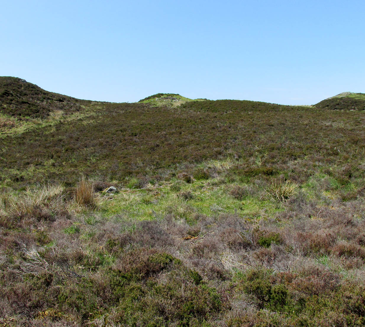
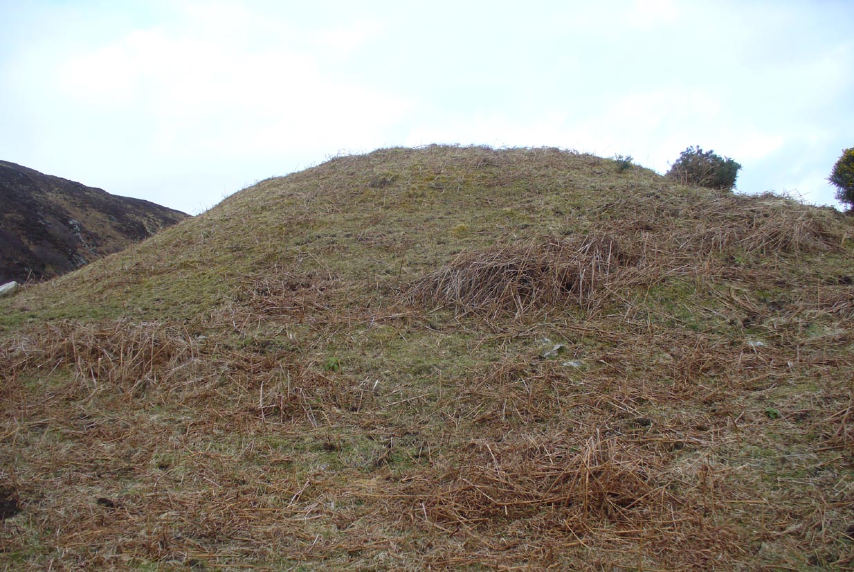
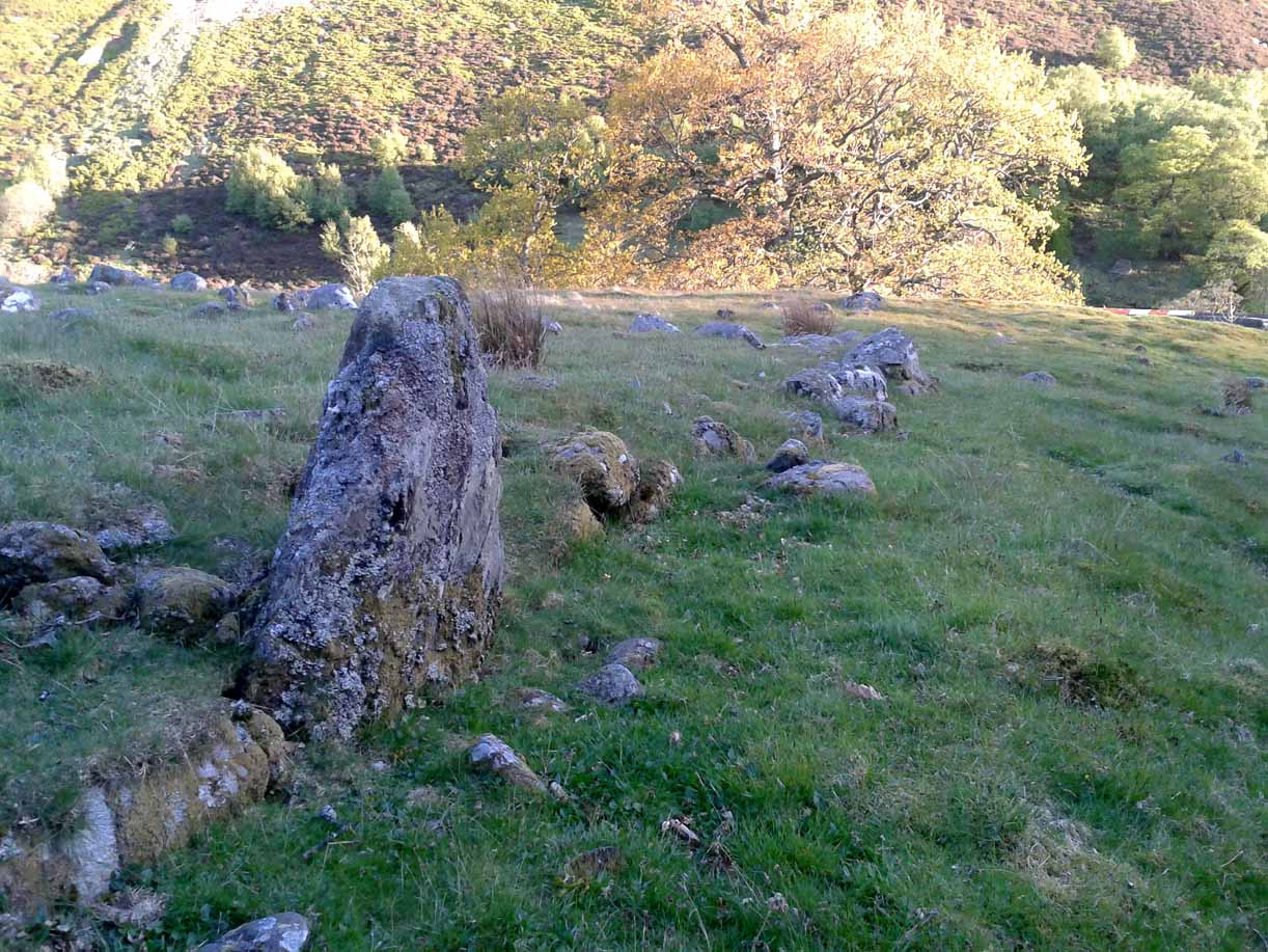
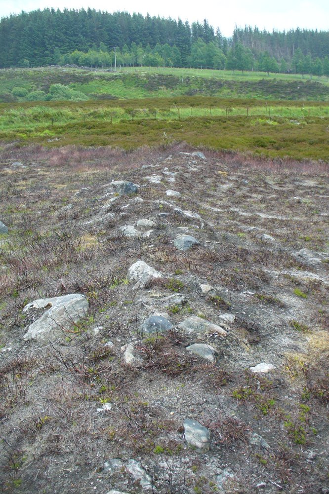
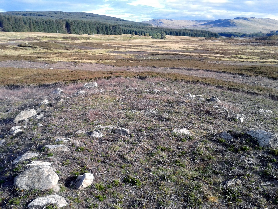
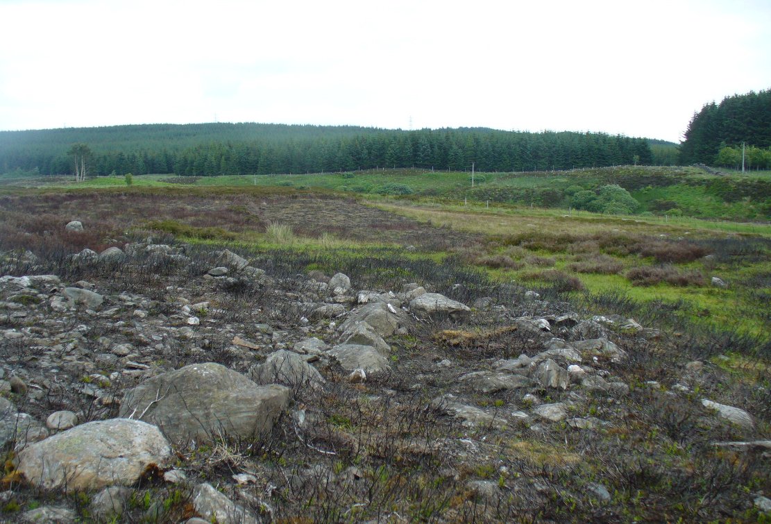
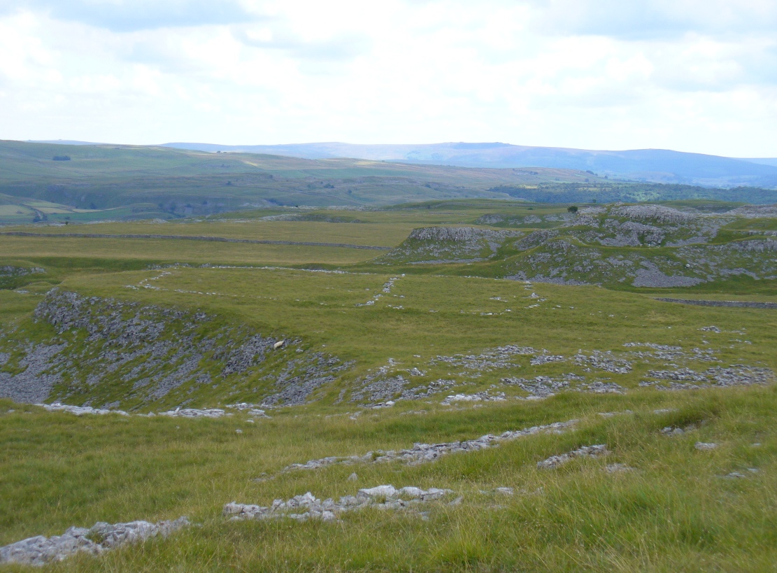
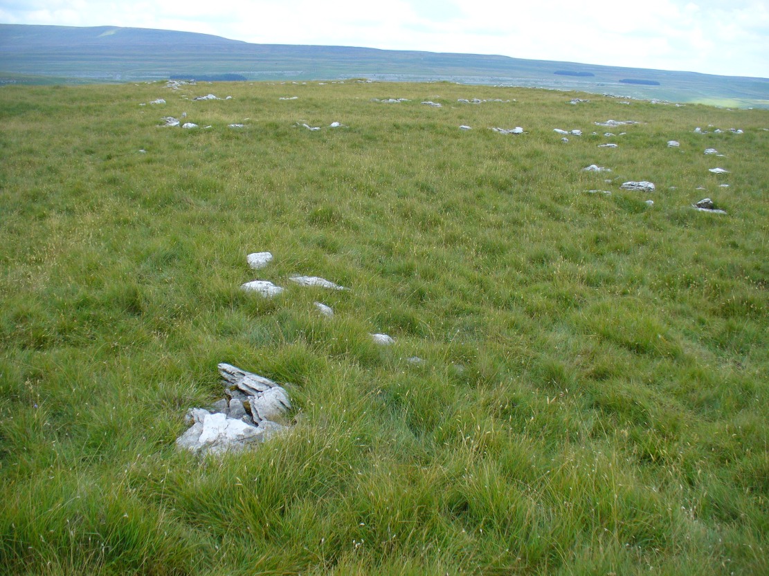
Second circular remains
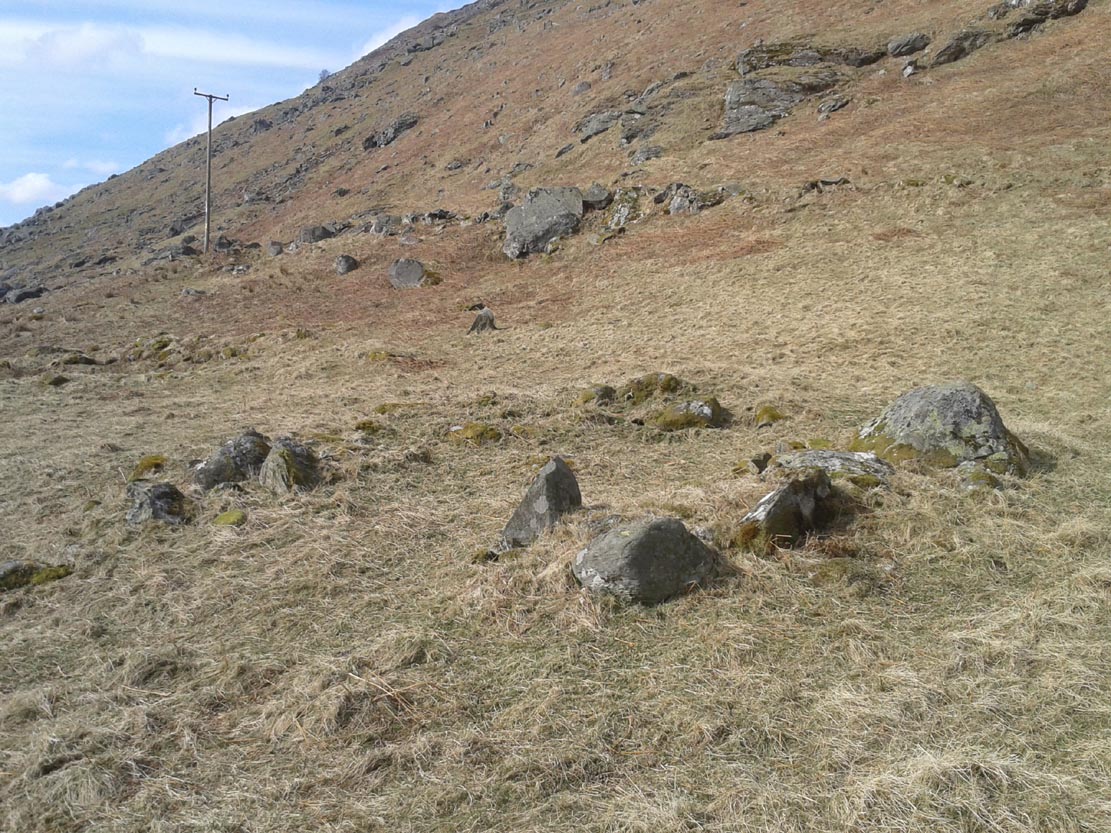
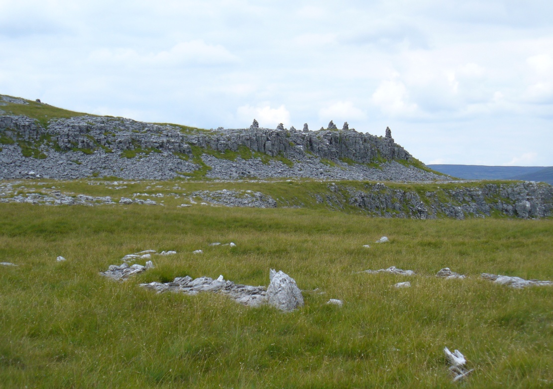
…and from another angle
To the east of this is a smaller, roughly circular construction of similar form. The rocks that make up this site are much more visible and may have been robbed and used in the more extensive walling above and the dykes below. It is unclear whether the nature of this site is the same as that of the more defined circular enclosure we have just described.
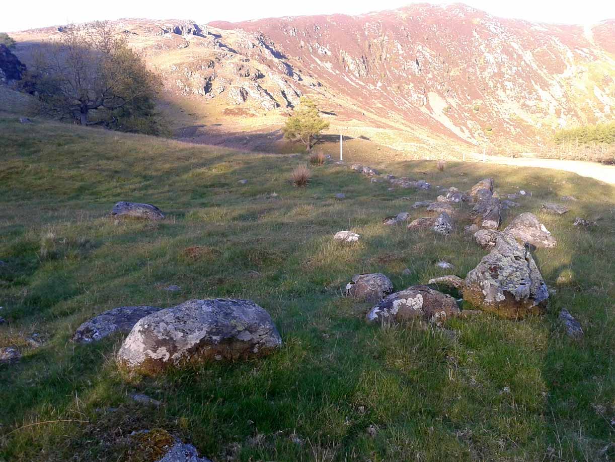
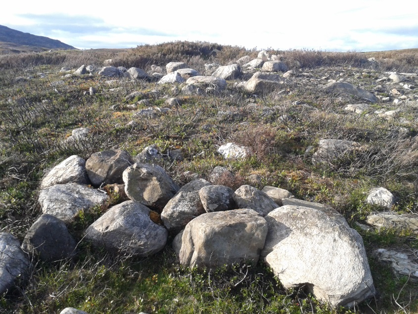
The remains of a third structure was clearly evident a short distance to the east of this, but I didn’t have much time here and another visit is needed to make further assessments. Iron Age walling and other undocumented prehistoric remains were also found close by.
Acknowledgements: Many thanks to the noses of little Lara Domleo and Prof. Paul Hornby for their bimbling aid to relocate this site – and one or two others that have been off the radar for many-a-century.
© Paul Bennett, The Northern Antiquarian