Tir Artair, Killin, Perthshire

Standing Stone:  OS Grid Reference – NN 58870 34720

Also Known as:

  1. Canmore ID 24205

Getting Here

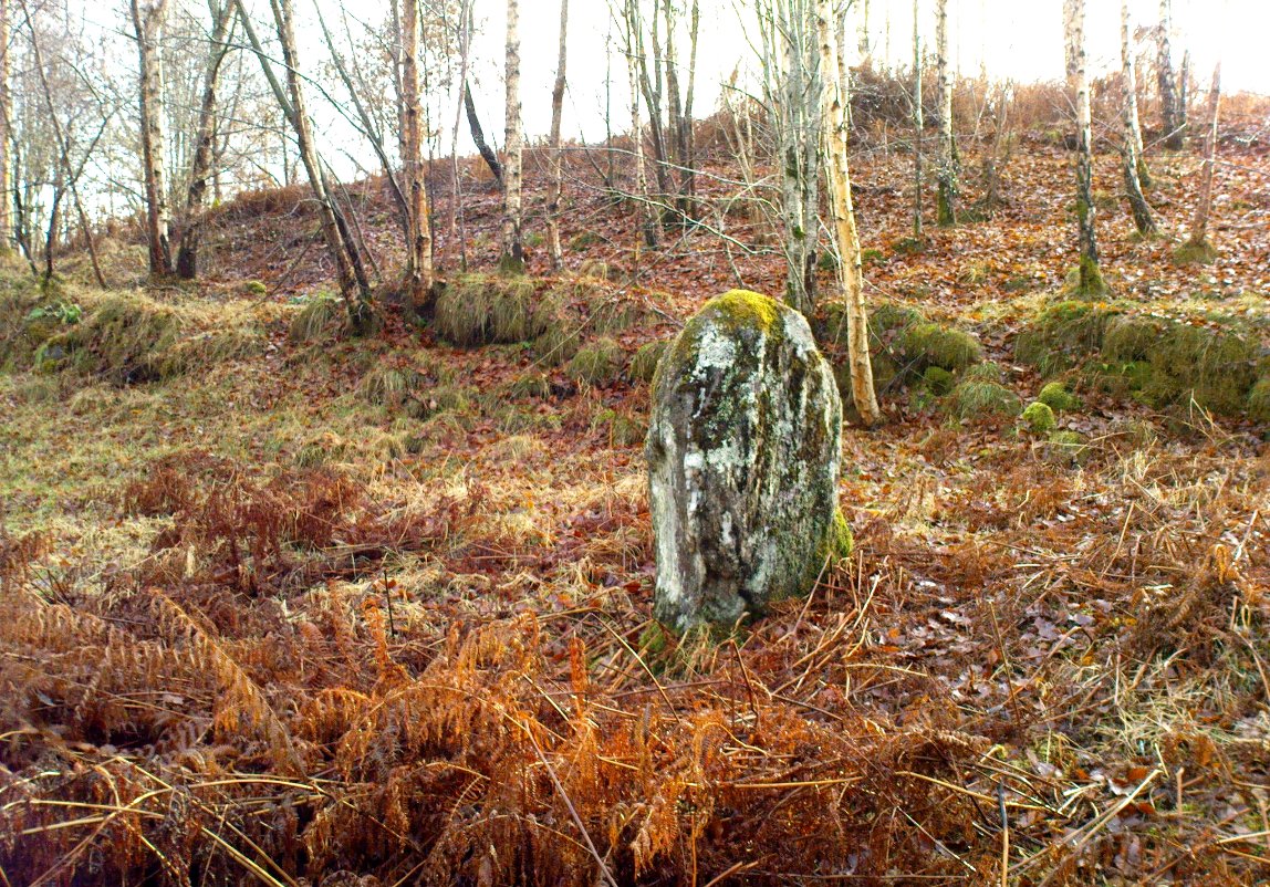
Standing stone of Tir Artair
The standing stone of Tir Artair

This lovely standing stone can be a pain-in-the arse to get to!  Unless you wanna clamber over the excess of increasingly stupid deer fences that are appearing all over the place (old locals aint happy), follow the directions to the Tir Artair cup-marking, then walk across to the fencing and follow it all the way down into the fields until you reach the stream on your right, running in front of the fenced woodland. There’s a large gate here into the trees. Go thru it. In front of you is some overgrown walling into the trees: follow this along, slowly, keeping your eyes peeled for the upright stone about 100 yards in.  Good luck!

Archaeology & History

The old mossy stone
The old mossy stone

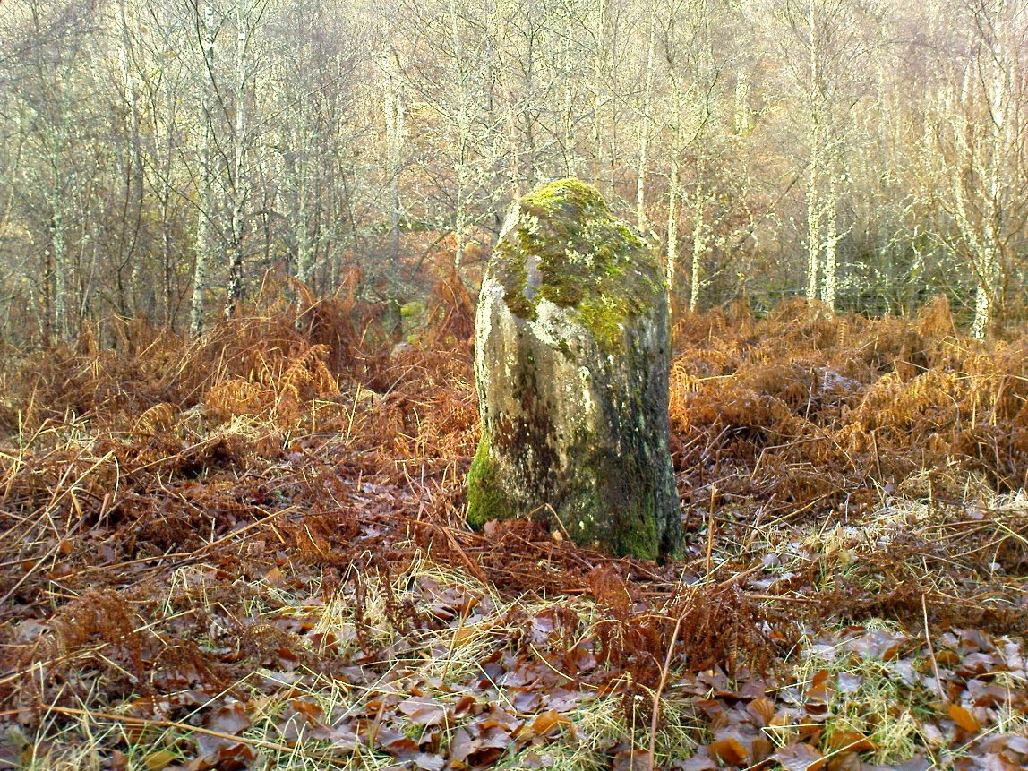
In this “land of Arthur”—as the place-name means—we find this beautiful moss and lichen-encrusted standing stone, living alone in remains of mainly birch woodland.  It stands less than 5 feet tall, just in front of some old walling encircling one of the many rounded knolls in this area.  The stone may have had some megalithic partners in bygone days, as we find, about 25 yards away sleeping amidst overgrown vegetation beside an old oak, a couple of other old stones laid on the ground that seem to have been placed here by human hands.  Their antiquarian nature is unknown.

References:

  1. Gillies, William A., In Famed Breadalbane, Munro Press: Perth 1938.

© Paul Bennett, The Northern Antiquarian


Clach na h’ Iobairte, Kinloch Rannoch, Perthshire

Standing Stone:  OS Grid Reference – NN 61702 58975

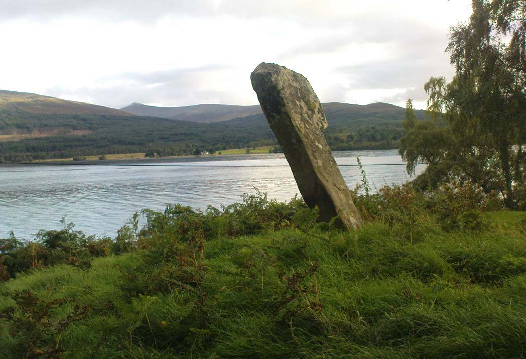
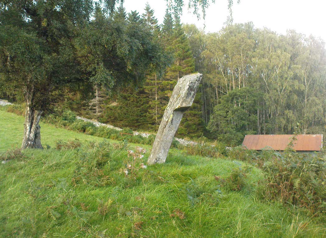
Clach na h-Iobairte, looking south

Also Known as:

  1. Canmore ID 24576
  2. Chieftain’s Grave
  3. Clach na h-Iobairte
  4. Clach na h-Jobairte
  5. Craiganour Stone
  6. Craig-na-Odhar
  7. Stone of Sacrifice
  8. Stone of the Offering

Getting Here

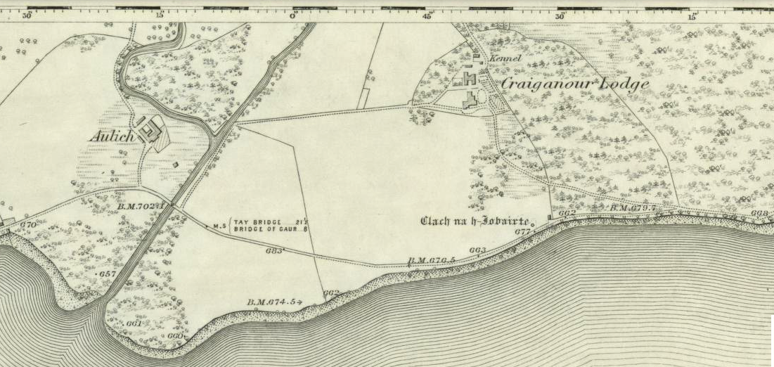
Standing stone shown on the 1867 OS-map

From the gorgeous village of Kinloch Rannoch, take the road along the north side of Loch Rannoch for about 2½ miles.  As you go along the road, for a good mile or so it is wooded. Where the woods stop and the first field appears on your right, stop!  You’ll see the standing stone perched erotically at an angle above you.

Archaeology & History

Clach na h-Iobairte, looking east

A fascinating site in a quite beautiful setting, typical of the Highlands.  This stone of many names is a curiously-shaped monolith: like an erect stone penis at the edge of the field when seen from the roadside, calling out to christians and pagans alike, to be castigated or rubbed—whatever the religious preference of the surveyor!  Leaning over at a slight angle, the stone is still nearly six feet tall and lives upon a large and equally prehistoric stone cairn about 30 feet across.  This cairn, it is said, has been added to by locals when the field was cleared of stone and piled on top of the old tomb.  No excavations have been done here, nor at the large ‘hut circle’ in the same field about 50 yards away.

Folklore

So far I have only found a short narrative of this stone in the pages of T.R. Barnett’s (1944) loving account of the Perthshire hills, where he tells that, close by the stone at Aulich, was once

“a famous smith, said to be in league with the devil, and he made the finest claymores in Rannoch.”

References:

  1. Barnett, T. Ratcliffe, The Road to Rannoch and the Summer Isles, John Grant: Edinburgh 1944.
  2. Cunningham, A.D., A History of Rannoch, privately printed 2004.

© Paul Bennett, The Northern Antiquarian 


Healey Stone Circles, Masham, North Yorkshire

Stone Circles (destroyed):  OS Grid Reference –  SE 170 810

Archaeology & History

I was hoping to get a Northern Antiquarian team to explore this arena before moving to Scotland, as I lived in hope that we might uncover some remains of an important cluster of megalithic rings in this quiet North Yorkshire area — but we didn’t manage to get here.  So this short profile is one based purely on texts.

A mile east of the standing stone and impressive cup-and-ring carvings of West Agra, was once to be found several stone circles — according to John Fisher (1865), who told us about them in his magnum opus on the history of the region.  Not to be confused with the giant Druid’s Temple a couple of miles south, Fisher was contextualizing them with the “huge circles of upright stones” which our great heathen ancestors built.  Although he made some mistakes trying to link the local place-names with these stone circles (a common pastime of Victorian writers), his remarks still make interesting reading. He told that,

“In this parish there are places which fully answer to this description, as well in situation and appearance, as in the names which they still bear. I refer more especially to Healey-Baals, Beldin Gill, and Baal Hill, which latter place is situate either upon or near to the range of hills known by the name of Healey-Baals.  The very name of Baal-Hill, without reference to its appearance or locality, indicates that the place is a hill dedicated to the worship of the heathen god Baal; and the name Healey-Baals, according to the interpretation which I put upon these words, is, if possible, still more conclusive of the matter. I take it that the name of Healey is derived from Heil, holy or sacred, and ley, land consisting of fallow-ground, pastures, or meadows. If, therefore, I am right in my interpretation of the name of Healey, then Healey-Baals means simply land sacred to Baal. This supposition is strengthened by the circumstance of circles of upright stones having recently existed near to the place, and from ancient relics which have been found within the parish, and at but a short distance from Healey and Healey-Baals, which are supposed to have been used in the mystical rites of the Druids or priests of Britain, for at least antiquaries can assign no other use to them…”

There are very few other references I can find that tell of these lost stone circles.  Edmund Bogg (1906) mentioned them briefly, saying that between Fearby and the hamlet of Healey a mile west, “there were formerly circles of upright stones and other relics suggestive of druidical origin.” But there’s little more.

In exploring the local field-names we find that three of them here carried the name “Standing Stones” – which seems to tell us where once we could find these old stones.  It may be possible that some of the stones were removed into the hedgerows at the sides of the fields.

Folklore

Fisher told of the local tradition of quarterly fire ceremonies close by, which he thought may have related to religious practices at the stone circles, telling:

“There are traditions, too, which have been handed down to us, to the effect that the heathen custom of making feasts and Baal-fires (which although unknown to the persons making them, were in truth so made in honour of Baal) have been continued until very recent times in this district — and especially in Nidderdale — the remembrance of which is transmitted to us in the annual feast which is still held at Healey.”

References:

  1. Bogg, Edmund, Richmondshire and the Vale of Mowbray, James Miles: Leeds 1906.
  2. Cunliffe-Lister, Susan, Days of Yore, privately printed: Bath 1978.
  3. Fisher, John, The History and Antiquities of Masham and Mashamshire, Simpkin Marshall: London 1865.
  4. Smith, A.H., The Place-Names of the North Riding of Yorkshire, Cambridge University Press 1928.

© Paul Bennett, The Northern Antiquarian

Standing Stone, Linlithgow, West Lothian

Standing Stone (destroyed):  OS Grid Reference – NS 99 77

Archaeology & History

Not included in the Canmore listings, nor that of the Scottish Royal Commission (1929), this lost standing stone once stood somewhere in Linlithgow town itself.  It was referred to in the huge but obscure Registrum Magni Sigili Regum Scotorum from 1586 through to 1614 as one of the street-names in the town, written several times as ‘Standandstane’ — which, as MacDonald (1941) told in his fine survey, means literally a “Standing Stone.”  The place was also referred to several times in other local accounts, dating from 1664, but was last mentioned in 1699 and, it appears, disappeared soon afterwards.

Perhaps some record of the site may be available in local witchcraft or folklore accounts.  Does anybody know?

References:

  1. MacDonald, Angus, The Place-Names of West Lothian, Oliver & Boyd: Edinburgh 1941.
  2. Royal Commission on the Ancient & Historical Monuments of Scotland, Inventory of Monuments and Constructions in the Counties of Midlothian and West Lothian, HMSO: Edinburgh 1929.

© Paul Bennett, The Northern Antiquarian 

Hammond Close Stone, Threshfield, North Yorkshire

Standing Stones:  OS Grid Reference – SD 95161 65209

Getting Here

Standing stones near Bordley with human for scale

From Threshfield, go up Skirethorns Lane for about 1/2 mile, where the lane takes a sharp right. Continue uphill for nearly 2 miles to a metal gate. Go through the gate into the fields on your left where you’ll see this pair of curious standing stones ahead of you (if you keep walking uphill in the same direction, you’ll reach the impressive Hammond Close enclosure above you).

Archaeology & History

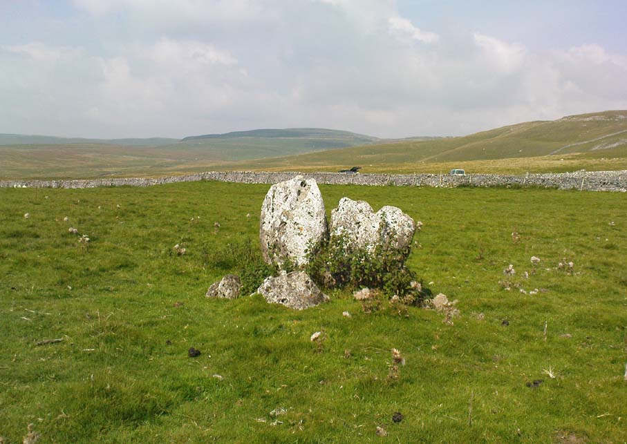
There seem to be no references in either archaeology or geology texts about this site which, when you approach it and consider the prevalence of other prehistoric sites all round you, strongly suggests that they are either archetypal standing stones, or the remains of a collapsed cairn, with the surrounding mound removed.  This is certainly the case at the Druid’s Altar or Bordley Circle visible a few hundred yards west of here, on the same grassland plain.

The stones alone, looking north

As you can see in the photos, the stones here are 4 feet tall and stand in isolation from the excess of neighbouring settlements and enclosures.  A scatter of small stones—perhaps packing stones, perhaps the remains of cairn-spoil—is evident at the foot of the stones.  It was initially thought that the uprights here could have been the remains of enclosure or settlement walling, as we find an excess of such remains on the hills here, but this isn’t the case.  Other unrecorded prehistoric remains scatter this part of the countryside.

© Paul Bennett, The Northern Antiquarian 

Fingal’s Stone, Killin, Perthshire

Standing Stone:  OS Grid Reference – NN 5712 3301

Also Known as:

  1. Canmore ID 24192

Getting Here

Fingal’s Stone, Killin

Less than 100 yards up the road from the Co-op in Killin, take the footpath on the same side of the road into the park at the back of the buildings. Keep following the footpath round the back of the buildings and you’ll see the stone in front of you soon enough.

Archaeology & History

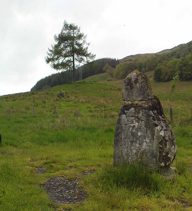
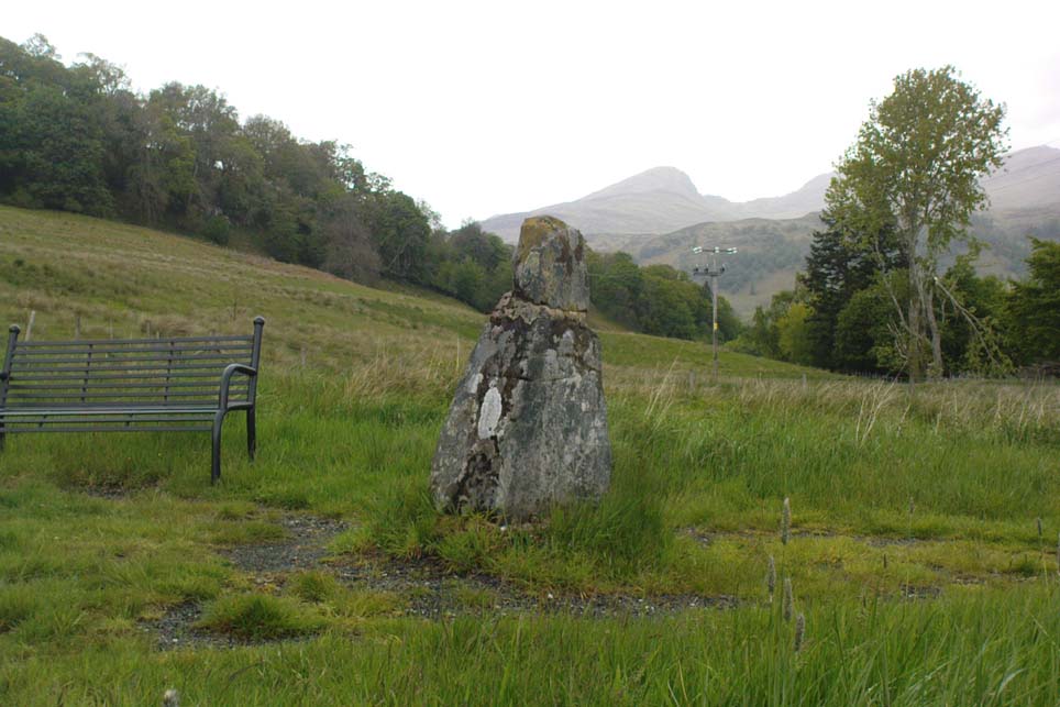
Another curious site in this quite beautiful mountainous arena.  Thought to have originally stood by the rounded fairy knoll a bit further up the hill, no one knows for sure when the stone was moved to its present position—but locals will tell you how the curious knob-end atop of the stone was also a later addition to the fallen original, when it was resurrected in the latter half of the 19th century.  C.G. Cash (1912) also found the fairy mound and its companions on the slope above to be of interesting, wondering, as I have, that “they might have been burial mounds.” The local historian William Gillies (1938) said of the stone:

“Both the Old and New Statistical Accounts of the parish of Killin make reference to a site near the village that had been pointed out from time immemorial as the burial place of Fingal, the hero of Celtic folk stories. At this point, which is in the middle of a field immediately behind the schoolhouse, there is a standing stone 2 feet 8 inches high and 5 feet in girth.  The stone had fallen, but in 1889 it was re-erected by Mr Malcolm Fergusson, a patriotic native of Breadalbane.  Without any reference to the original arrangement, a smaller stone was fixed on the top, and others were placed near it. The lands in the vicinity of Fingal’s Stone used to be called Stix.  The name suggests that here, as at Stix between Kenmore and Aberfeldy, there were a number of standing stones, of which this one alone remains.”

And it certainly smells that way… Yet no further monoliths have been found hereby or on the slopes above.

Folklore

Reputed to be a stone that marks the grave of the hero-figure, Fionn.  Local historian  Duncan Fraser (1973) told that:

“Killin is steeped in history and one of its memorials of the past is a standing stone in a field behind the school, that is said to mark the spot where the mighty Fionn lies buried.  He is believed to have died about the end of the Iron Age, in 283 AD.”

Gazing N, to the Cailleach

William Gillies (1938) also reported how tradition said that an early church and graveyard was once to be found at the original site of Fingal’s Stone. Legends of Finn, his magick and his encounters with both faerie and men are found all over the landscape in this neck o’ the woods….

References:

  1. Cash, C.G., “Archaeological Gleanings from Killin,” in Proceedings of the Society of Antiquaries of Scotland, volume 46, 1911-12.
  2. Fraser, Duncan, Highland Perthshire, Standard Press: Montrose 1973.
  3. Gillies, William A., In Famed Breadalbane, Munro Press: Perth 1938.
  4. Wheater, Hilary, Killin to Glencoe, Appin Publications: Aberfeldy 1982.

© Paul Bennett, The Northern Antiquarian

Clach na Boile, Kinloch Rannoch, Perthshire

Standing Stone:  OS Grid Reference – NN 66983 57984

Also Known as:

  1. Canmore ID 24556
  2. Clach na Voile
  3. Stone of Fury

Getting Here

Clach na Boile & its rocky landscape

From the lovely village of Kinloch Rannoch, take the south road over the river that heads (eventually) to Aberfeldy.  3-400 yards along, another small road meets with the one you’re on, on your right. Stop here! Then look across at the field ahead of you, on your left, and you’ll see a small standing stone amidst the green.  That’s it!

Archaeology & History

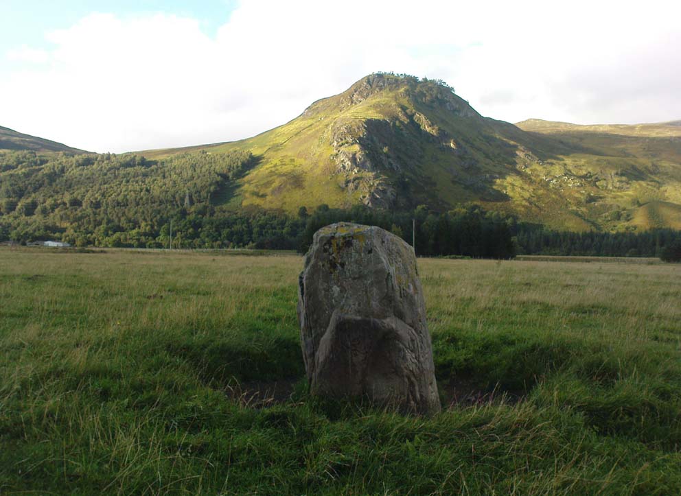
This is a small, squat but impressive standing stone, less than 4 feet tall, set amidst a beautiful landscape which catches the eye in every direction.  Found close to the remains of several prehistoric cairns, it seems probable that funerary associations would have happened here, although direct evidence is lacking.

Folklore

Clach na Boile, looking south

Although I can find nothing specific to account for the Gaelic meaning (“stone of fury”) of the monolith, on the other side of the road in the trees is the old house of Innerhadden, where a curious ghost story told how an old inhabitant there was helped by the spirit of one who died in the Battle of Culloden. (Cunningham 1989)

References:

  1. Cunningham, A.D., Tales of Rannoch, Perth & Kinross District Library 1989.

© Paul Bennett, The Northern Antiquarian 

Allt Leathan Stone, Fortingall, Perthshire

Standing Stone: OS Grid Reference –NN 7251 5659 

Getting Here

Allt Leathan stone

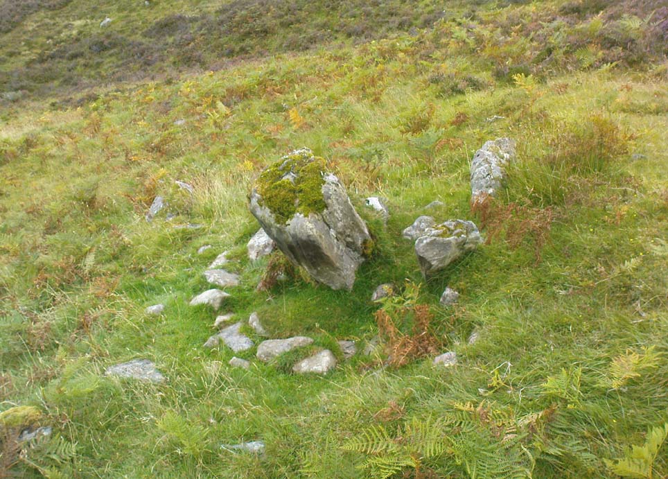
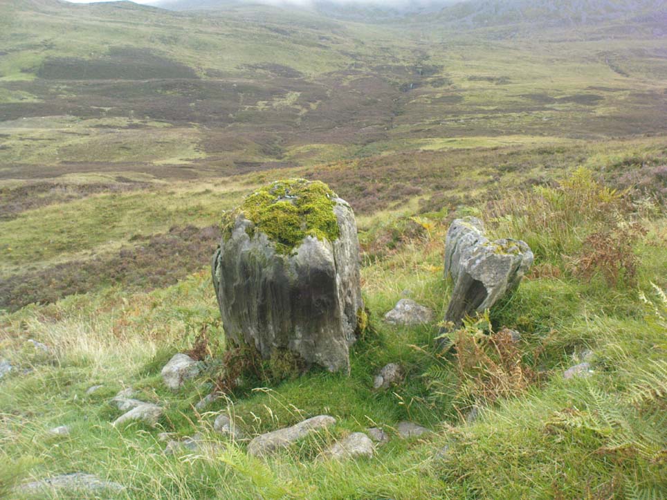
Follow the same directions to reach the Allt Leathan enclosure and hut circles.  Walk along the eastern side of the hill on which the enclosure mainly sits, and as it slopes down the hill, you’ll note an odd-shaped stone leaning at an angle less than halfway down.

Archaeology & History

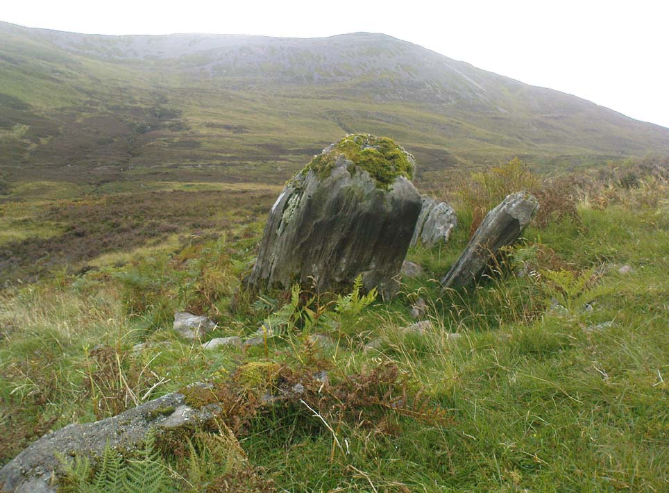
A truly curious and fascinating site, not previously recorded, but found by Paul Hornby on August 7, 2012, during a venture to explore the nearby settlement and hut circles around Meall Dubh.  On the eastern slope over the edge of the Allt Leathan enclosure, with its hut circles and possible cairns, we see this upright worn stone, leaning at an angle, which would stand nearly 5 feet high if pushed properly upright.  It is found in association with two other smaller stones, all of which stand and lean in the same direction.

Possible cairn remnants surrounds base of stone
…and again

Around the base of the main stone is a scatter of small rocks, as if suggesting that a cairn was once next to the standing stone, perhaps inferring that the stone marked a tomb.  There is also a very distinct line of walling running along the axis of the upright stones, meaning that we cannot discount the possibility that the monoliths here were connected with a walled enclosure in some capacity. And considering the excess of other prehistoric remains close by, this may be more likely than not!

© Paul Bennett, The Northern Antiquarian


Boat Stone, Blackford, Perthshire

Standing Stone (fallen): OS Grid Reference – NN 87202 07286

Getting Here

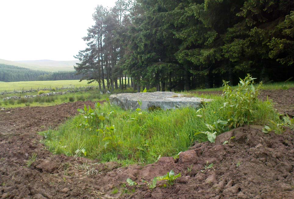
Fallen monolith in the grass

From Blackford on the north side of the A9, cross over and take the small B-road which quietly runs up and over Sheriffmuir towards Dunblane.  After a mile, keep your eyes keen for the approaching woodland on your right-hand side; for in the field just before the woods, you’ll see a patch of grass near the corner of the field with a long stone poking out of it. That’s it!

Archaeology & History

It seems that very little has been written about this monolith in any of the archaeology texts, but it’s ascribed locally to be a fallen standing stone.  The site’s described in Finlayson’s (2010) fine local megalith guide where he points out how it’s in line with other nearby standing stones at Gleneagles and the White Stone – and the line is damn close!

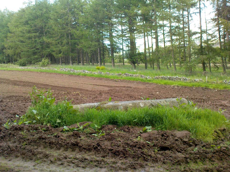
…and from another angle…

With a quartz vein running through it, the stone lays some thirteen feet long and was, at some time in the not-too-distant past, readied to be quarried, as evidenced by the chisel-marks cut into it, prior to the usual destruction. But this time, for some reason, someone must have come to the rescue and prevented its demise…thankfully…

The farmer annually cuts around the fallen stone, shaped like a long boat (hence the name), near the top corner of the field. It would have looked damn good when stood upright, standing about ten feet in height and visible for a good distance. But today it’s quite forlorn laid here, seemingly alone, in this quiet part of the country, and is probably only one of interest to hardcore megalithomaniacs amongst you!

References:

  1. Finlayson, Andrew, The Stones of Strathearn, One Tree Island: Comrie 2010.

© Paul Bennett, The Northern Antiquarian

Alva Church, Alva, Clackmannanshire

Standing Stones:  OS Grid Reference – NS 88812 97235

Getting Here

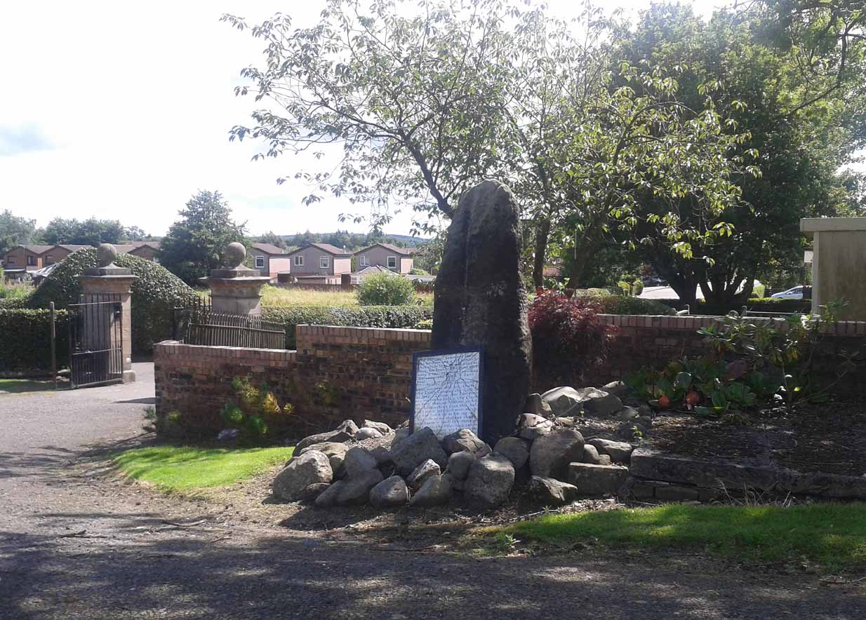
Alva’s standing stone

Go on the A91 through Alva, eastwards, and just before you go out of the town, note the small road on your left up to the graveyard.  As you go into the graveyard, keep your eyes peeled on your left-hand side.  You can’t really miss it!

Archaeology & History

Reported as “lost” or “destroyed” in many official reports, one of at least two standing stones that were reported in the Old Statistical Account of 1795 can still be found at the bottom of the graveyard, adjacent to the old holy well of St. Serf, at the edge of Alva town  Very little has been written about it, and when it was mentioned in the OSA, the stones were only added in a foot note to the impressive stone cross on the outskirts of Alloa, saying:

“There are two stones resembling this one, in the neighbouring parish of Alva, at no great distance from the church, but not close to one another. They are both near the foot of the Ochils.”

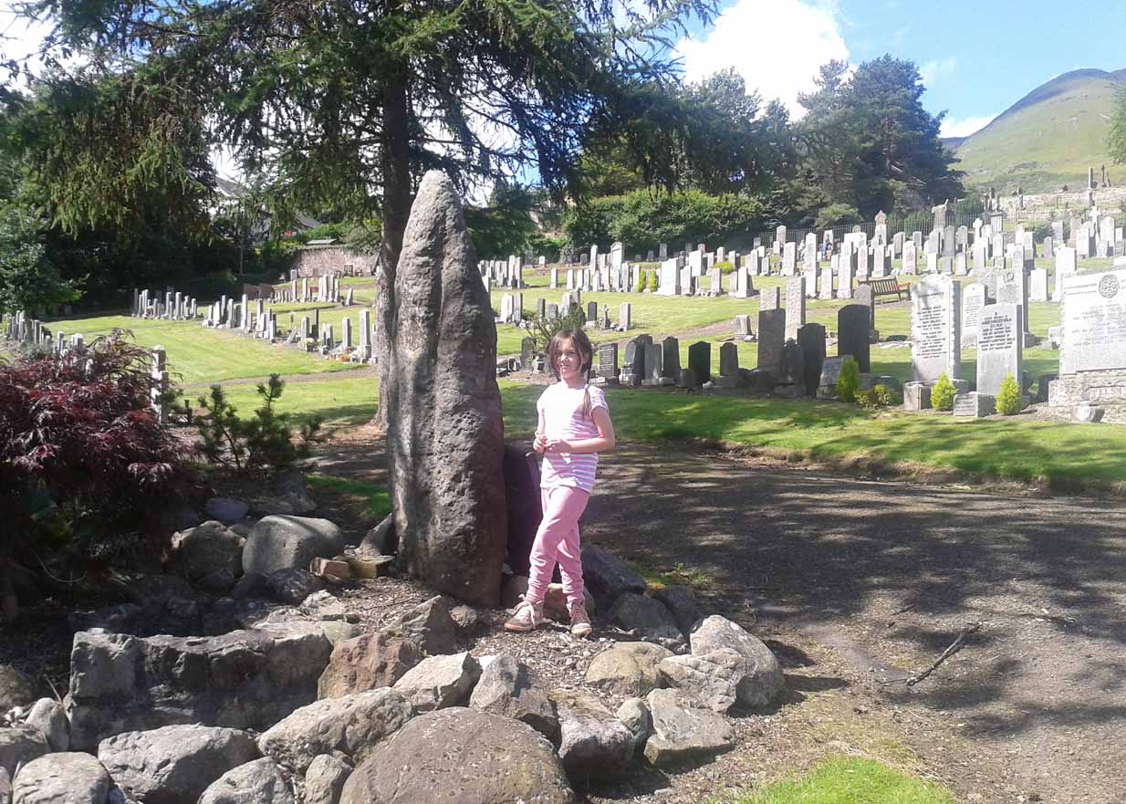
A little person by its side
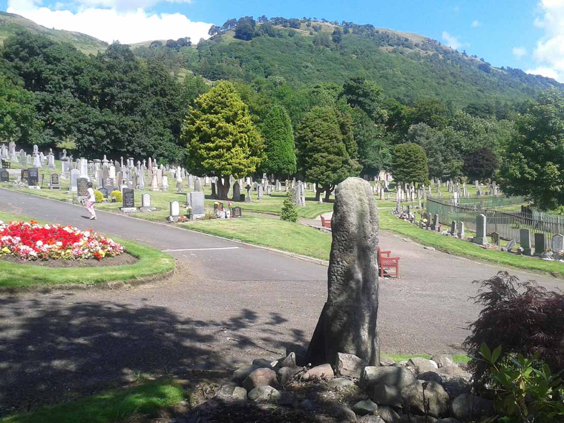
From the stone, looking NE

When some of the lads from the Scottish Royal Commission came here in July 1927, they could find no remains of any such standing stones and simply reported that they “no longer exist.” However, as visitors can plainly see, a tall upright standing stone still remains here, albeit repositioned by the good local people of Alva several decades ago.  Standing more than seven-feet tall, the stone is very weather-worn on one side, with a plaque at the bottom.

References:

  1. Royal Commission on the Ancient & Historical Monuments, Scotland, Inventory of Monuments and Constructions in the Counties of Fife, Kinross and Clackmannan, HMSO: Edinburgh 1933.

© Paul Bennett, The Northern Antiquarian