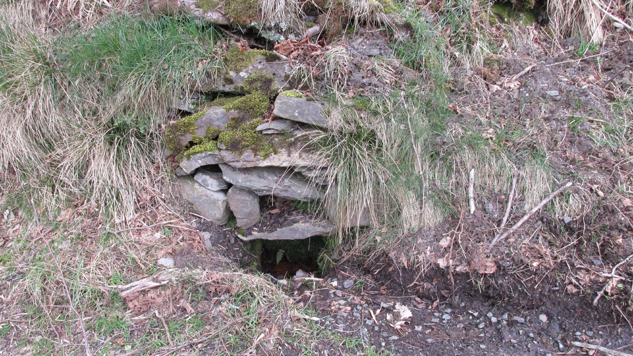
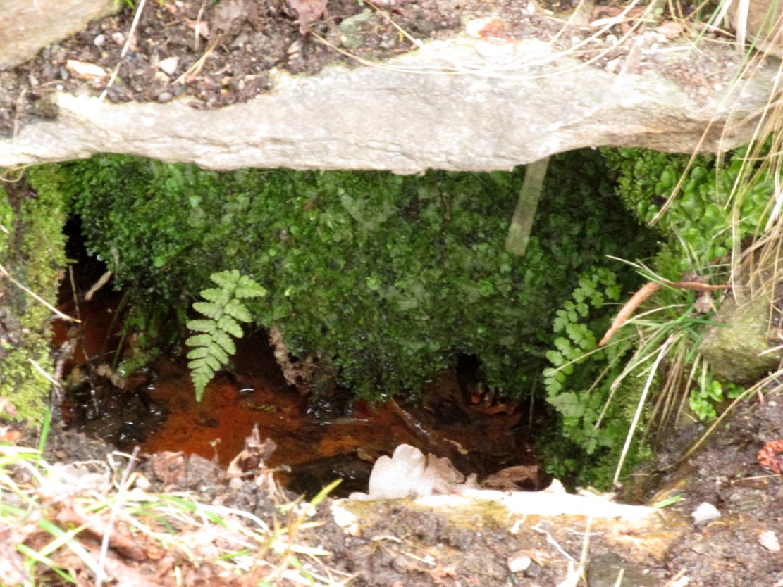
Healing Well (lost): OS Grid Reference – NS 910 790
Also Known as:
- Tammy Milns Well
Archaeology & History
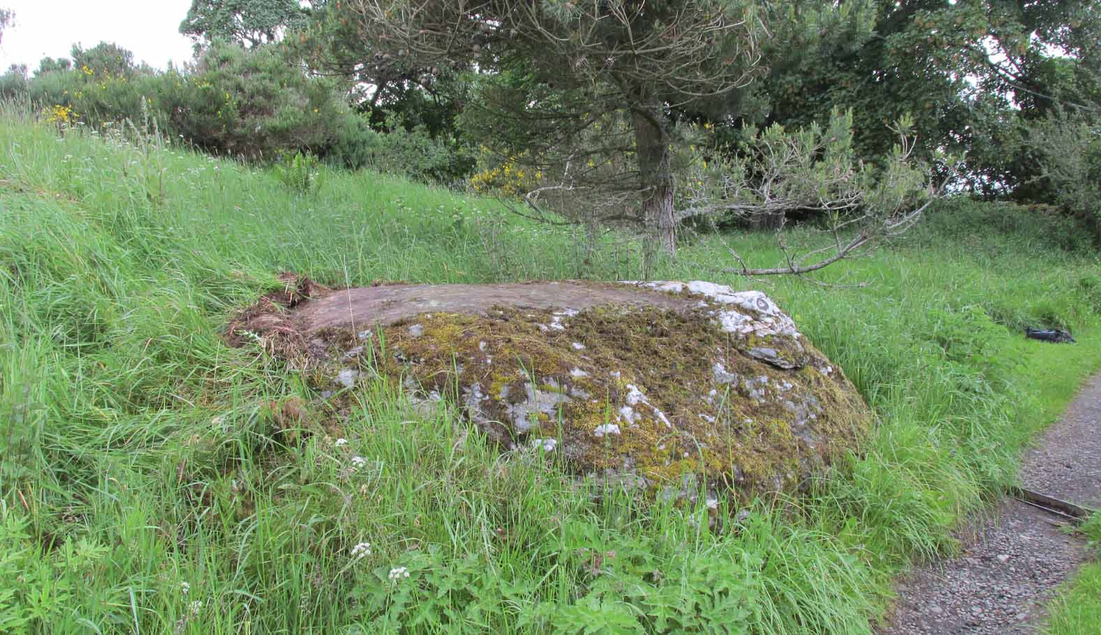
This all-but-forgotten site situated somewhere on the north side of Lauriston was mentioned in Falkirk’s Notes & Queries (1906) journal, but its whereabouts is somewhat of a mystery (to me at least!). In a series of question and answers about the site, the editor of the journal, James Love, told us:
“Mr Charles Brown, factor to the Marquis of Zetland, kindly informs us that on a late occasion there passed through his hands a copy of a feu contract by the Right Honorable Francis Lord Napier in favour of Alexander Cowie, brewer, at New Merchiston (now Laurieston), of a piece of ground lying to the north of Mary Street. This is dated 7 August, 1762 and contains the following clause: ‘Providing also that the said Alexr Cowie and his foresaid have the Liberty of the water of Tammy Milns Well in common with the said Lord Napier’s other vassals ay New Merchiston.'”
The well was mentioned again in 1781 with similar historical information. As to the name of the well, Mr Love wrote,
“it would appear, from the circumstance, that an old infirm man belonging to the village, called Thomas Mills or Milns, used to sit with his wooden cup at the spring which flowed from the face of the hill, over which the present structure now stands, and served out to the weary passers-by the cooling and refreshing draught for any small pittance they in their generosity might think proper to give him. After the lands of Lauriston passed into the hands of Sir Laurence Dundas, he took the advantage of such a copious supply of what then was pure water, and built the present reservoir over the spring, and had it conveyed to Kerse House by means of leaden pipes.”
But he fails to tell us what “the present structure” was that covered the well, nor the whereabouts of the “reservoir over the spring”; and as there’s no such feature on any of the Ordnance Survey maps at the time he wrote his article, nor beforehand, I remain puzzled as to its exact position. This situation isn’t helped by the earlier description, which said it was found on “a piece of ground lying to the north of Mary Street”. There are two wells literlly on the other side of Mary Street, but Kerse House meanwhile—whose water supply came from the well—is about 1½ miles to the north! All in all there are more questions than answers here. Added to this, in John Reid’s (2009) magnum opus on local place-names, the site is mentioned, albeit in passing, where he gives us the vague grid-reference of just NS 91 79, but this may just be educated guesswork on his part. It would be good to know exactly where it was…
References:
- Love, James (ed.), “Tammy Mills (or Milns) Well, Laurieston”, in Local Antiquarian Notes & Queries, Falkirk – volume 1, 1906.
- Reid, John, The Place-Names of Falkirk and East Stirlingshire, Falkirk Local History Society 2009.
© Paul Bennett, The Northern Antiquarian