Healing Well (destroyed): OS Grid Reference – NS 5619 6654
Archaeology & History
Along the B808, between Beith Street and Byres Road, where it meets the main Dumbarton Road, the memory of Cooper’s Well is preserved in the street-name. It was one of more than a dozen springs in the area, but was one of the most renowned by local people.
Although not shown on the early OS-maps, thankfully the local historian and folklorist—and early environmentalist, it must be said!—James Napier (1873), gave a good account of it in his excellent work on the traditions of the area:
“Cooper’s Well was situated on the side of the road at the north-west end of Well Street, at the corner of where the Gas-work wall now is. It was about three feet deep, and had two steps leading down to the water from the road. Two sides and back were walled up higher than the road, and covered with a stone slab. It was celebrated in the neighbourhood as a drinking water, being strongly chalybeate, and therefore could not be used for cooking purposes. Although shallow, it was never frozen during winter (so that it must have come from a considerable depth), and it was cold in summer. On a warm summer Sunday evening we have seen people, not only from all parts of the village, but from the gentle houses in the neighbourhood, carrying water from the Cooper’s Well to drink. It is from this well the street has its name. The Gas-work dried up the well. There was a story current of some Glasgow people who were visiting at Mr. Sharp’s of Horslethill. Mrs. Sharp had been baking some oatcakes with butter or dripping in them, which caused them to be very fine and short. The Glasgow gentlemen were anxious to know how they were baked, and were told that they were baked with the Cooper’s Well water, some of which they had got a drink of. Shortly after some of the gentlemen sent out their servants to Partick for a supply of the water, but the servants could not succeed in making the cakes so nice as those got from Mrs Sharp. For long after this, butter-cakes were known in and around Partick as Cooper’s Well bread.”
I have to admit I’ve not visited this site, but presume that all trace of the site has disappeared.
Holy Well (destroyed): OS Grid Reference – NS 6451 5981
Archaeology & History
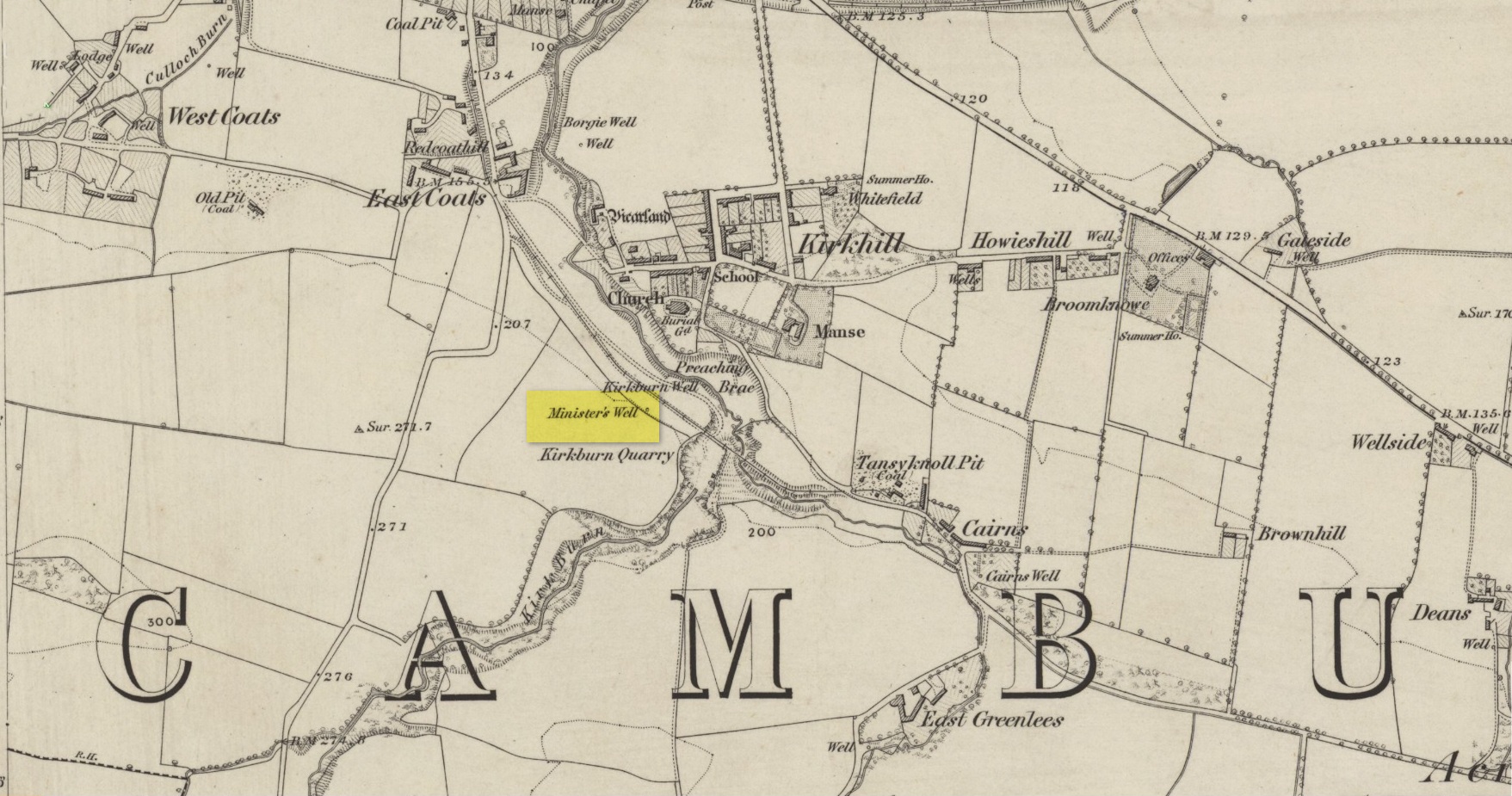
Site shown on 1864 map
Illustrated on the earliest OS-map of the region, this is one of four holy and healing wells within half-a-mile of each other—including the legendary Borgie Well in the Borgie Glen. The waters from here emerged above the rise, close to the end of Mansefield Avenue, from where you look down onto the wooded burn. When it was visited by the Ordnance Survey chaps in the 19th century, they told simply that water here “is taken from pipes being laid from it to the Manse to supply the Minister.”
Acknowledgements:Huge thanks for use of the Ordnance Survey map in this site profile, reproduced with the kind permission of the National Library of Scotland.
Healing Well (lost): OS Grid Reference – NT 654 993
Archaeology & History
Wells that are dedicated to sheep are none-too-common—and this one on the remote Isle of May between Edinburgh and Fife only received its commemoration, tradition tells, not too many centuries back. It is described singularly in John Dickson’s (1899) fine work, where he informs us that,
“The Sheep Well lies to the west of the lighthouse. Said to have got its name from a sheep having been drowned in it. Its water is useless for household purposes, and it occasionally becomes dry during the hot season.”
Its present condition and precise location is unknown. If an islander chances upon this site and knows its present condition, please get some photos and let us know how it’s fairing.
References:
Dickson, John, Emeralds Chased in Gold; or, The Isles of the Forth, Oliphant: Edinburgh 1899.
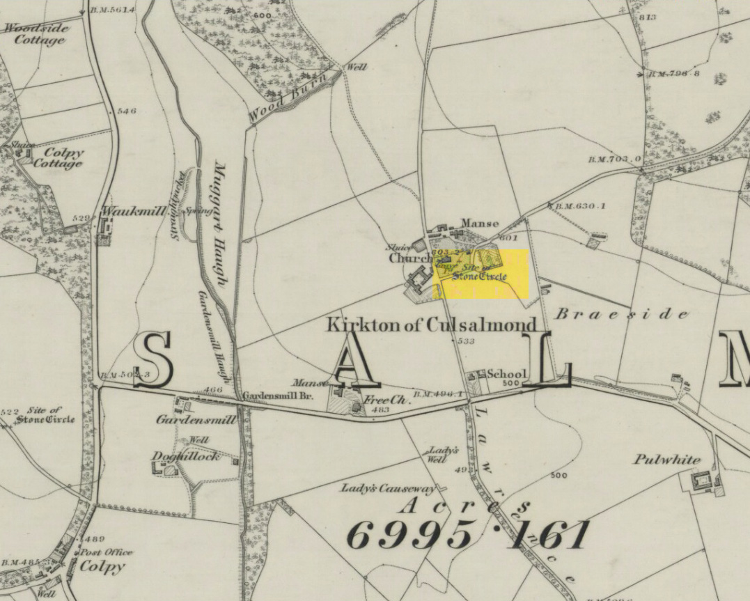
After standing at the same spot for 3000 years or more, near the beginning of the 19th century this stone circle was destroyed by the self-righteous christian cult that was rampaging its way through cultures far and wide. After all, they needed to rid the area of local traditions and “improve” the locals, whether they liked it or not! Thankfully however, one of their creed—a reverend Ferdinand Ellis: minister of the parish for forty years—recorded its destruction in the New Statistical Account between 1834-45. Amongst a variety of important traditional monuments that once existed hereby,
“A Druidical place of worship anciently stood about the middle of the churchyard or burying ground. It consisted of a circle of twelve upright large granite stones from Benochee, which were overturned when the first Christian temple was erected. One of these was taken up in 1821 and now remains above ground, near the spot where it was taken up. The other eleven are still underground. This is proof that the first christian missionaries, in this country, erected their places of worship as near as possible to the holy hills of the heathens, that the people might be more easily persuaded to assemble there.”
‘Persuaded‘ being a very broad term indeed when it came to the land confiscation of indigenous folk…
The stone that Ellis said “was taken up in 1821 and now remains above ground” was gone when Fred Coles (1902) surveyed the site, but he told how an earlier antiquarian and writer for the Scottish Society of Antiquaries, J.G. Callander, lived nearby, and who was
“told by the aged sexton, Florance, that he many a time came across a great stone, when preparing graves, and that he had himself blasted these more than once.”
It seems that all trace of this single stone, and the rest of them, either still lay in the ground or were used for local building material.
When John Barnatt (1989) came to add this circle in his corpus, for some reason he postulated that
“the number of stones suggest it was a recumbent stone circle”,
…that is: a stone circle possessing one large stone in the ring that’s laid down with two standing stones either side. However, there seems no real evidence to show that this was the case.
References:
Barnatt, John, Stone Circles of Britain – volume 2, BAR: Oxford 1989.
Browne, G.F., On Some Antiquities in the Neighbourhood of Dunecht House, Aberdeenshire, Cambridge University Press 1921.
From Lochgilphead, take the A816 road north for several miles (towards the megalithic paradise of Kilmartin), keeping your eyes peeled for the road-signs saying “Dunadd.” Turn left and park-up a few hundred yards down. Go through the gate and walk up Dunadd. Just before the flattened plateau at the top you’ll come across a length of smooth stone, adjacent to the Dunnad Footprint Stone, with a deep large circular ‘bowl’ cut deep into the rock. That’s the spot!
Archaeology & History
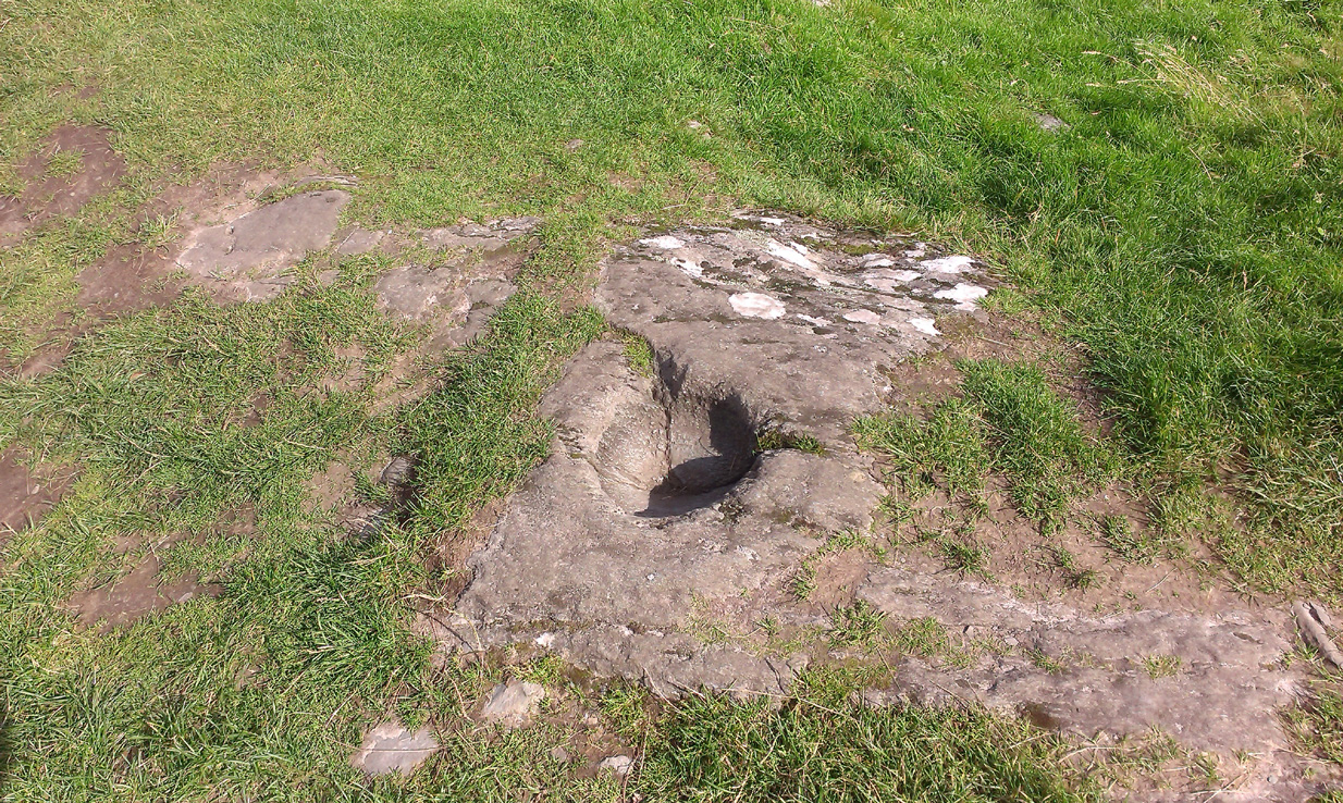
Basin with encircling faint ring
This large ‘bowl’ or basin just below the top of Dunadd—next to the other carvings of footprint, Ogham and boar—is speculated by many to have been a part of the kingship rituals that were alleged to have occurred up here, going way back. But please remember that ‘kingship’ as it was in ages past has nothing to do with the touristy nonsense that prevails in the UK today. Kingship in its early forms relates to rituals for the benefit of the tribe/society, in many cases resulting in sacrifices. (see Frazer 1972; Hocart 1927; Quigley 2005, etc) This is quite probably what occurred at Dunadd. But whether this curious deep bowl with its semi-circular carved ring had anything to do with the kingship rites, we simply don’t know.
An early description of the Dunadd Basin is in Mr Thomas’ (1879) essay on the hill itself. It was a brief note:
“About four yards southwards from the (Dunadd) footmark is a smooth-polished and circular rock basin cut in the living rock; it is 11 inches in diameter and 8 inches deep.”
There is no mention of the incomplete ring which, though faded, can be seen to surround two-thirds of the hollow. And as Dunadd was used by people until medieval times (Lane & Campbell 2000) it not only begs the question: when was it carved; but also: was the myth behind this petroglyph still alive? We’ll probably never know.
The Royal Commission lads (1988) said the following:
“The rock-cut basin measures 0.25m in diameter by 0.14m in depth, and is bisected by a crack. It is surrounded by a shallow pecked ring about 40mm in width, but parts of this have been worn away, especially to the S where the path from (the) enclosure passes the basin.”
Folklore
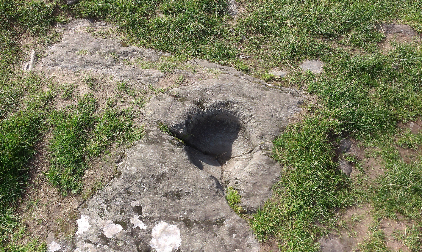
…and from another angle
The basin here was said by the incoming priest R.J. Mapleton (1860) to be entirely natural in origin; though he also noted how Dunadd was known by local people to be the meeting place of witches and the hill of the fairies, whose amblings in this wondrous landscape are legion. Legends and history intermingle upon and around Dunadd. Separating one from the others can be troublesome as Irish and Scottish Kings, their families and the druids were here. One such character was the ever-present Ossian. Mapleton told:
“From these ancient tales we turn to a much later period of romance, when Finn and his companions had developed into extraordinary and magical proportions; a story is current that when Ossian abode at Dunadd, he was on a day hunting by Lochfyneside; a stag, which his dogs had brought to bay, charged him; Ossian turned and fled. On coming to the hill above Kilmichael village, he leapt clean across the valley to the top of Rudal hill, and a second spring brought him to the top of Dunadd. But on landing on Dunadd he fell on his knee, and stretched out his hands to prevent himself from falling backwards. ‘The mark of a right foot is still pointed out on Rudal hill, and that of the left is quite visible on Dunadd, with impressions of the knee and fingers.'”
As Mr Thomas clarifies: “The footmark is that of the right foot, and the adjacent rock-basin is the fabulous impression of a knee.”
References:
Bord, Janet, Footprints in Stone, Heart of Albion Press 2004.
Campbell, Marion, Mid-Argyll: An Archaeological Guide, Dolphin Press: Glenrothes 1984.
Campbell, M. & Sanderman, M., “Mid-Argyll: An Archaeological Survey,” in Proceedings of the Society Antiquaries, Scotland, volume 95, 1962.
Craw, J.H. “Excavations at Dunadd and other Sites,” in Proceedings of the Society Antiquaries, Scotland, volume 64, 1930.
Lane, Alan & Campbell, Ewan, Dunadd: An Early Dalriadic Capital, Oxbow: Oxford 2000.
Mapleton, R.J., Handbook for Ardrishaig Crinan Loch Awe and Pass of Brandir, n.p. 1860.
Morris, Ronald W.B., The Prehistoric Rock Art of Argyll, Dolphin Press: Poole 1977.
Royal Commission on the Ancient & Historical Monuments of Scotland, Argyll – Volume 6: Mid-Argyll and Cowal, HMSO: Edinburgh 1988.
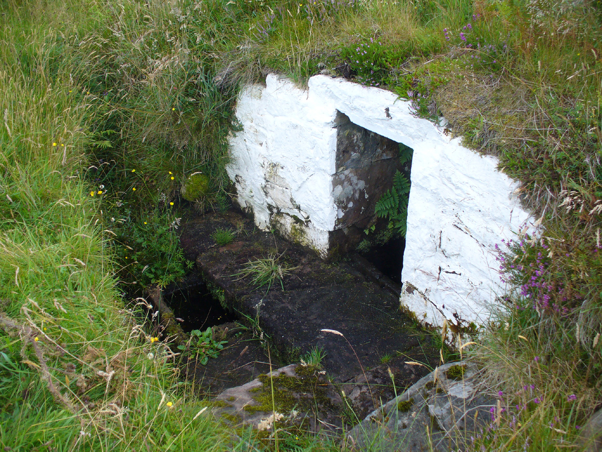
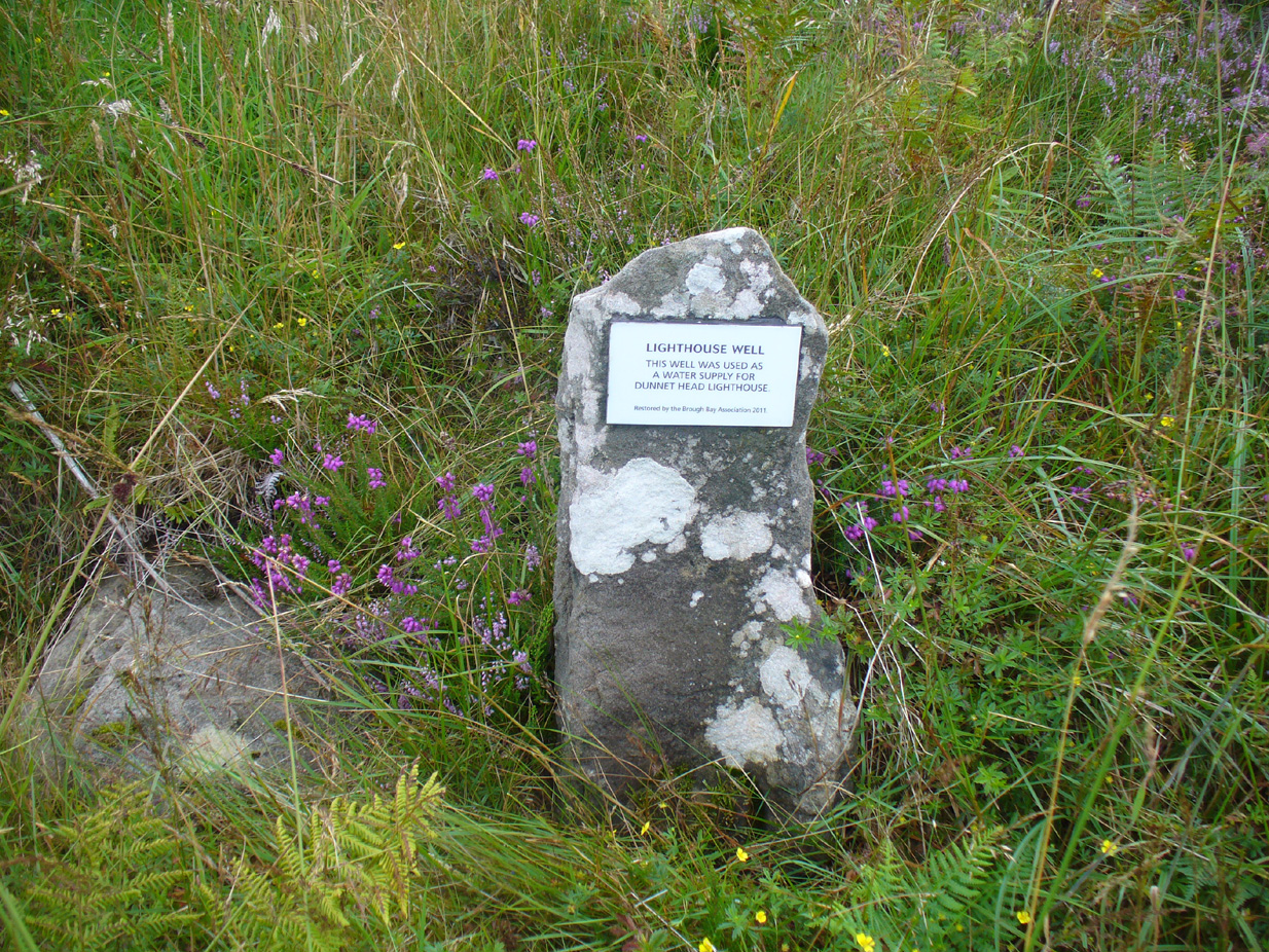
Take the B855 road northwards out of Dunnet village, through Brough and, nearly four miles on, you’ll see the waters of the Long Loch right by the roadside. Roughly 300 yards along the side of the loch, keep your eyes peeled to left-hand side of the road, where you’ll see a white stone surround just below the roadside just a couple of yards away. Right by its its side is a small stone with a plaque highlighting its position. You can’t really miss it.
Archaeology & History
Stone & plaque by its side
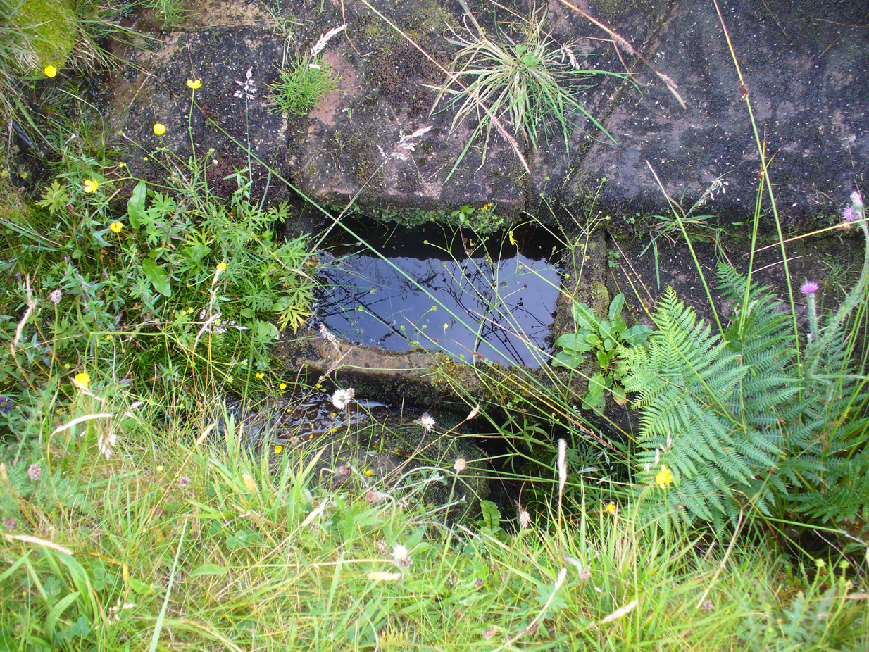
Marked on the earliest OS-map of the region in 1875 (simply as “Well”), this is the most northerly example of a healing well in mainland Scotland, being a good mile further north than John o’ Groats! Consisting of a standard stone surround, the well has two stone troughs: one inside the surround, and another outside, where the water runs, before being directed back to Earth.
Second stone trough
Although the waters here have long since quenched the thirst of crazy travellers, the well was the main water supply for the men who lived and manned the famous Dunnet Head lighthouse in earlier years, who would carry the water from here more than half-a-mile up to their remote abode, overlooking the great cliffs and out towards megalithic Orkney. Its healing properties have, sadly, long since been forgotten. When we visited the site, the waters did not look to be in a healthy state to drink.
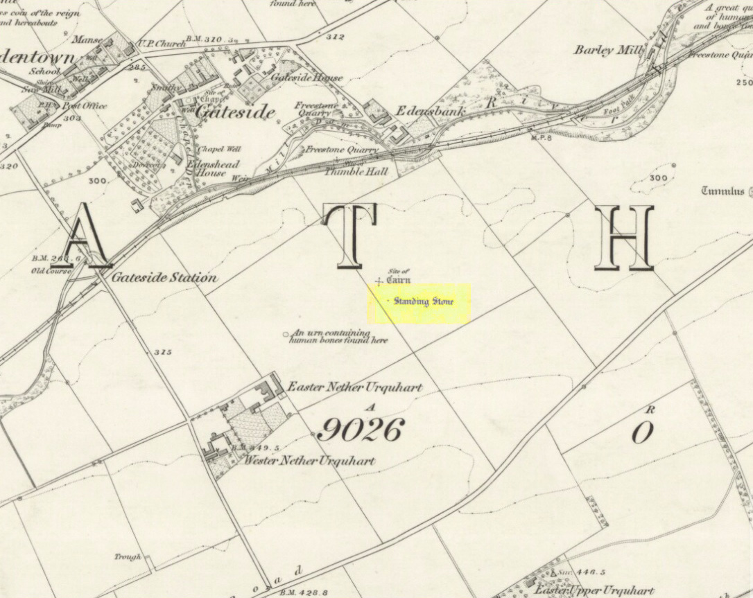
Turn off the A91 road at Gateside and go down Station Road, crossing the old railway line at the bottom. From here, cross the fields to your left and the site of the circle will be found in the field to the north east of Easter Nether Urquhart Farm.
Archaeology & History
Marked on the 1856 6″ Ordnance Survey map as a “standing stone,” earlier references record this as being the survivor of a stone circle. Not listed in Aubrey Burl’s (2000) magnum opus, this circle was on the edge of the site of a major battle between the Romans and the native defenders, and large amounts of human remains have been found in the vicinity. Referring to an adjacent cairn, Lieutenant-Colonel Miller wrote in 1829:
“A very fine Druid’s Temple stood on the south side of it, consisting of seven very large stones. All these were blasted with powder and removed, except half the one of them, which still marks the spot.”
Of the same cairn, the Reverend Andrew Small wrote in 1823:
“This cairn stood a little north of an ancient Druids’ temple, only one stone now remaining, out of ten of which it formerly consisted.”
The Ordnance Survey Name Book for 1853-55 imparts the following:
“This standing Stone is about 13 chains on the South side of the River Eden opposite Edensbank but whether it is the remains of a druid’s temple or set up to mark something relative to the battle contested between the Romans and Caledonians according to Messrs. Miller & Small, it is difficult to determine. It stands about 4 feet 10 inches high and its sides are about 2 feet broad…many of the inhabitants consider it to have been a druid’s temple…”
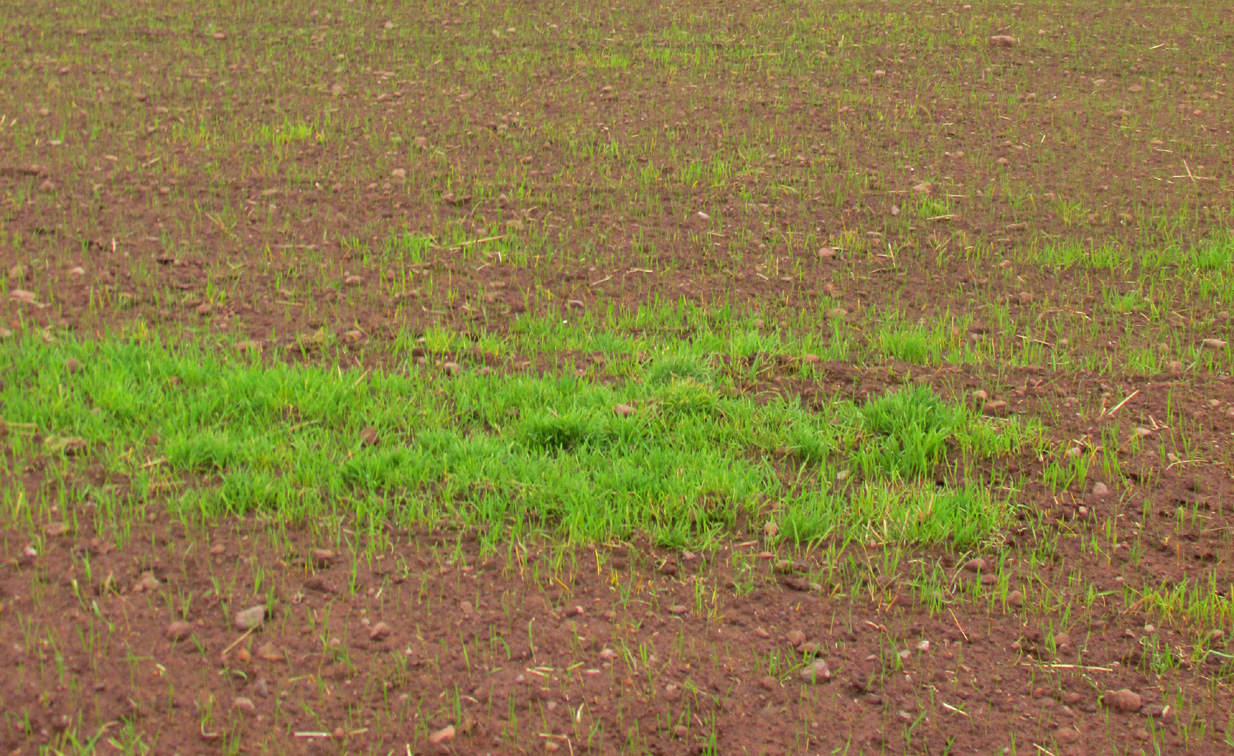
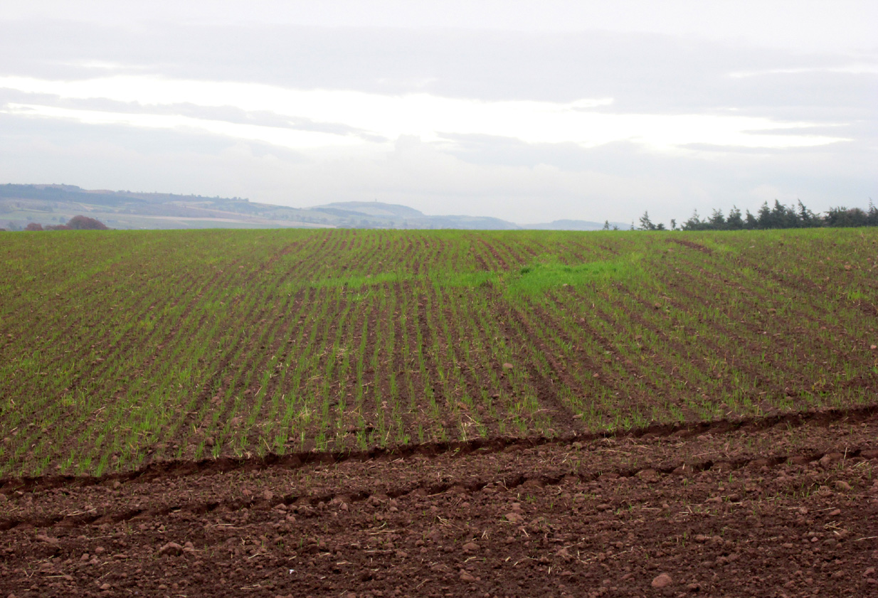
A close-up of the sitePosition of the circle, evident in crop-growth
J.S. Baird of Nether Urquhart informed an Ordnance Survey officer in 1956 that the remaining stone was broken up and removed around 1952, and measured 5 feet high with a girth of 9 feet at the base. Near the top of the stone, on the south-side were two slight cracks weathered to suggest a simple incised cross.
On the day of my November field-visit the winter barley was sprouting and it was interesting to see how much better it was growing at the place where the remaining stone had stood.
Burl, Aubrey, The Stone Circles of Britain, Ireland and Brittany, Yale University Press 2000.
Miller, Lieutenant-Colonel, “An Inquiry respecting the site of the battle of Mons Grampius (Read 27th April 1829 and 25th January 1830),” in Proceedings of the Society of Antiquaries of Scotland, Volume IV, 1857.
Small, Reverend Andrew, Interesting Roman Antiquities Recently Discovered in Fife Ascertaining the site of the Great Battle fought betwixt Agricola and Galgacus, John Anderson & Co: Edinburgh 1823.
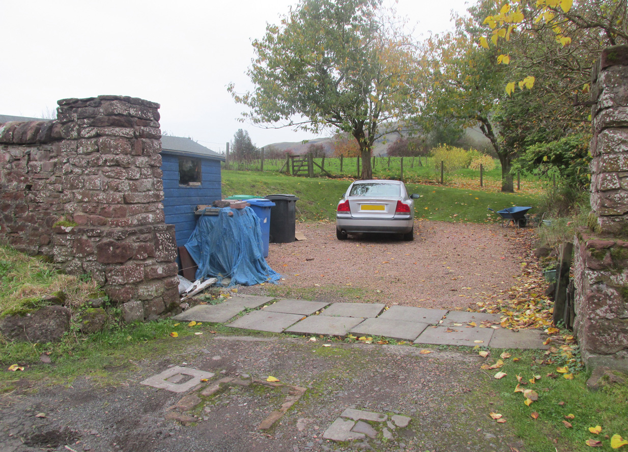
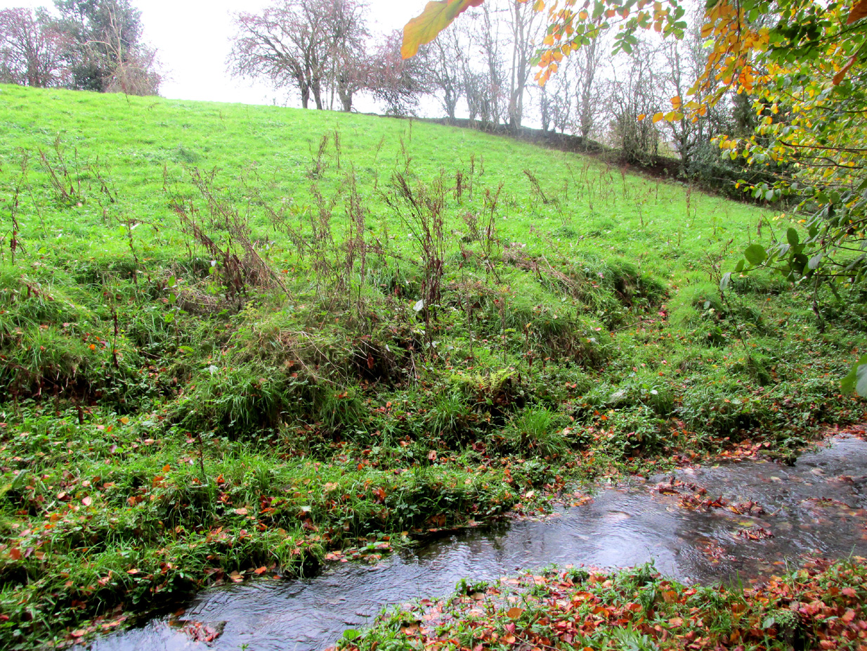
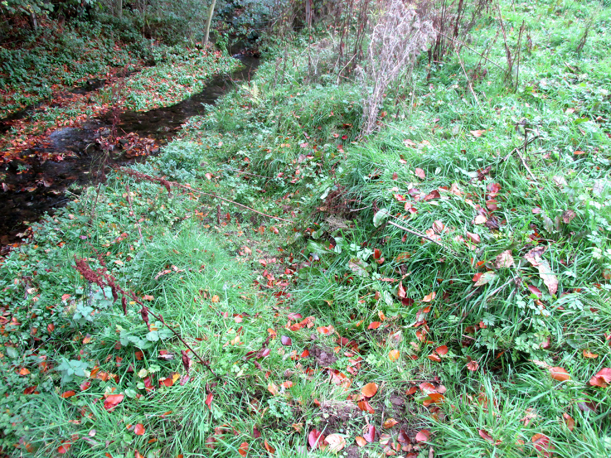
Travelling from Milnathort on the A91, in Gateside village, turn right down Old Town, and after the left bend in the road, park up. Access to the field where the Well is situated is through the gate on land next to the easternmost house on the south side of Old Town. Ask at the house first. Walk down the field towards the Chapel Den burn, and the ruins of the Well will be seen next to the burn just before the line of bushes that cross the field.
Archaeology and History
In his brief description of Strathmiglo parish, Hew Scott (1925) wrote:
“At Gateside…there was a chapel of St Mary, with Our Lady’s Well beside it.”
It was described in the nineteenth century Ordnance Survey Name Books by an informant:
“A small spring well on the north side of the Mill Dam. Supposed to have been used in the days of Popery as holy water and for other purposes when the building supposed to have been St Mary’s Chapel was in existence.”
Another informant wrote:
“…a Romish chapel is supposed to have been erected in this village and is borne out in a great measure by names of objects adjoining, namely Chapel Den, Chapel Well.”
And further:
“According to Doctor Small…it is stated, ‘The ancient name of this village called in old papers the Chapelton of the Virgin, changing its name at the Reformation.'”
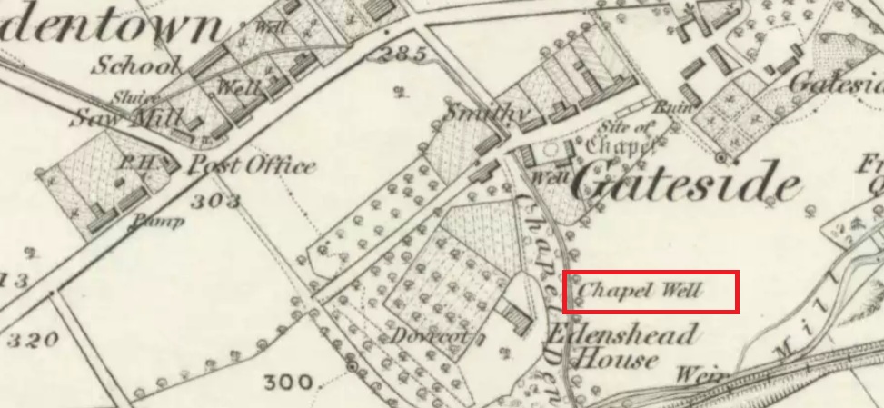
Shown as Chapel Well in 1856
This latter statement would seem to imply that the part of modern-day Gateside south of the main road (the north side was known as ‘Edentown’) was a pilgrimage centre of the Cult of the Virgin. The chapel was erected by the monks of Balmerino to whom it was known as ‘Sanct Mary’s of Dungaitsyde’. It was highlighted as the Chapel Well on the 1856 OS-map.
The ruined Well from across the burnNature takes back the ruined masonry at this magickal spot
While no trace of the chapel remains, the Well is evidenced by some low ruins of what had once been a red sandstone structure, and it was just possible to make out in the field the line of the pilgrim’s path to the well. But what a lovely serene place next to the burn! An ideal spot to meditate or daydream… The spring no longer flows, and a manhole in the field probably indicates the water supply has been diverted, perhaps to serve the long since closed Gateside Distillery?
References:
Scott, Hew, Fasti Ecclesiae Scoticanae – Volume V, Oliver & Boyd: Edinburgh 1925.
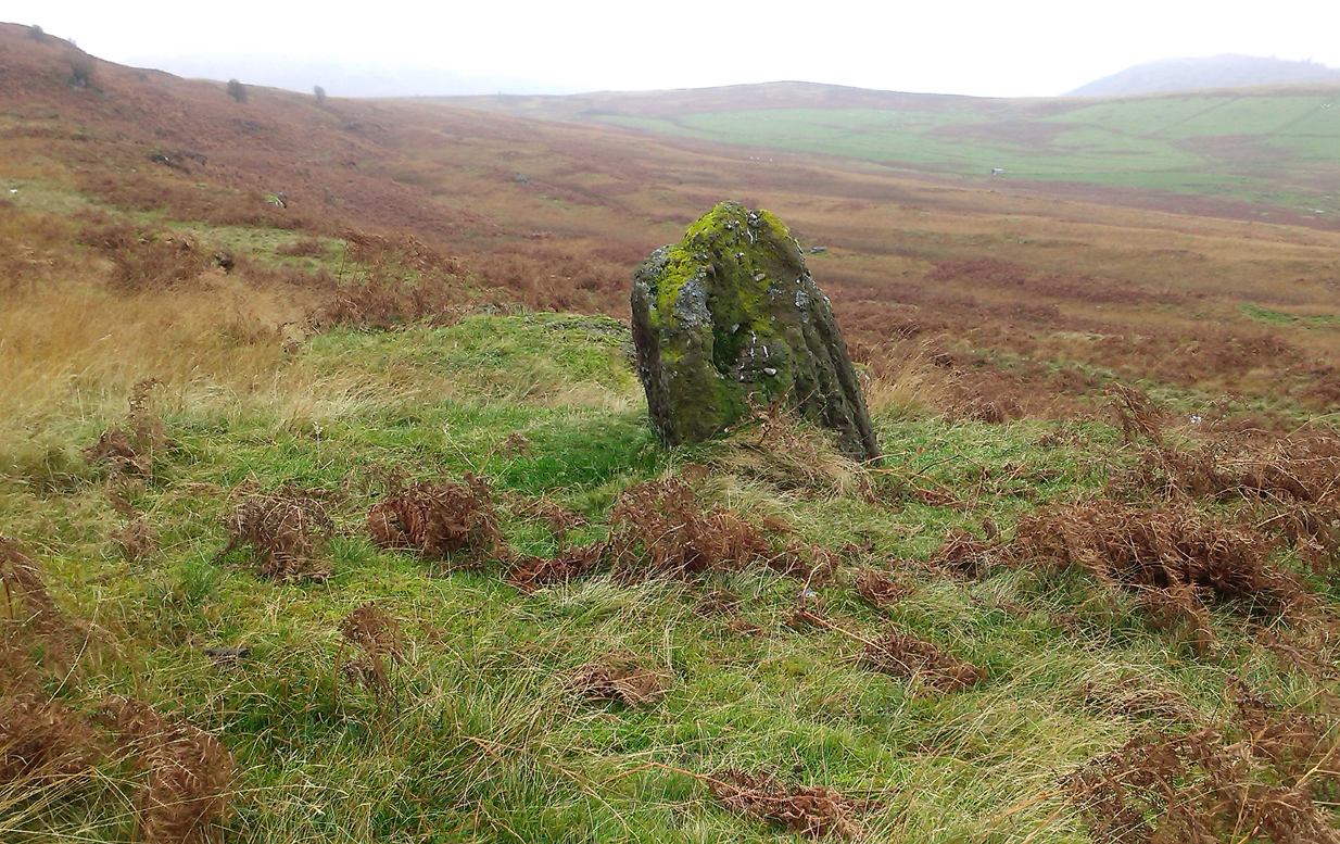
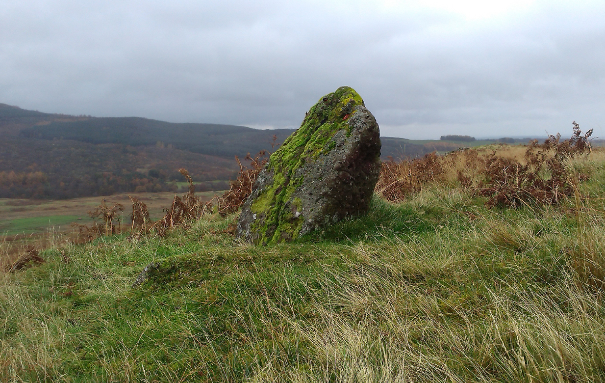
Take the directions to the hugely impressive Dunruchan A standing stone. Walk directly south, over the gate and follow the fence straight down the fields, crossing the burn at the very bottom. Walk over the boggy grassland and start veering uphill, southeast. You’ll notice the land goes up in geological ‘steps’ and, a few hundred yards up, a small standing stone pokes up on the near skyline ahead of you. Head straight for it!
Archaeology & History
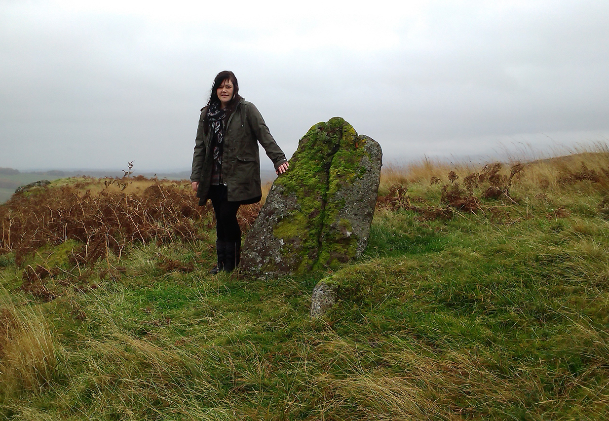
This small standing stone was first noted after a quick visit to the major Dunruchan megalithic complex in the summer of 2016. Photographer James Elkington was taking images of the landscape and the standing stones when he noticed a stone on the horizon a half-mile away. As we were in a rush, he took a couple of photos from different angles on the way back to the car—both of which looked promising. And so, several months later, we revisited the site again. Lisa, Paul and Mr Fukner and I meandered up the geological steps of the hillside until we reached the site in question.
Looking northwestLooking northeast
Standing just over four-feet tall, this solitary stone overlooks the megalithic Dunruchan complex a half-mile or so to the north and northwest. Like the Dunruchan C monolith, this smaller upright is conglomerate stone. Paul Hornby noted what may be a single cup-marked stone roughly 100 yards east along the same ridge. (Please note that the grid-ref may be slightly out by perhaps 50 yards or so at the most. If anyone visits and can rectify my ineptitude on this matter, please let me know.)
Of all the ancient wells in the city of Glasgow, this has to be one of the most intriguing! Descriptions of it are few and far between, but it is the name of the site which is of interest, to folklorists and occult historians alike. For the word ‘Bogle’ is another term for a ‘boggart’ or goblin of some sort! The well is mentioned in Andy MacGeorge’s (1880) excellent study in his description of ancient wells in the city. Citing notes from the 17th century, amidst many sites,
“Another was Bogle’s Well, in regard to which there is a minute of the town council “that Bogillis Well should be assayed for bringing and convoying the water of the same to the Hie street according to the right the town hes thereof,” and the magistrates are recommended to arrange for having this done “by conduits of led.””
…Obviously in the days when they were clueless about lead-poisoning! The word ‘bogillis’ is the early plural form of the bogle, or bogill (Grant 1941:201). But where exactly was this old well? Are there any other records hiding away to help us locate its original position? It seems to have been one in a cluster of legendary and holy wells in a very small area scattered between Glasgow’s cathedral, down the High Street and to the northern banks of the River Clyde… (the grid-reference given for this site is an approximation)
In a less esoteric fashion, the occult historian Jan Silver suggested that the name of the Well may relate to the family name, ‘Bogle’. This could indeed be the real story behind the well’s name.
Folklore
Traditionally ascribed in the lower counties of England to be an evil malicious sprite, in more northern counties and in Scotland the creature was said by Katherine Briggs (1979) to be a more “virtuous creature”, akin to the helpful brownies or urisks of country lore. This was said to be the case in William Henderson’s (1868) Folklore of the Northern Counties. Whether this well was haunted or the home of a bogle, we do not know as the folklore of this site appears to be lost; so I appeal to any students who might be able to enlighten us further on the place. The Forteans amongst you might have a cluster of ‘hauntings’ hereby, perhaps….