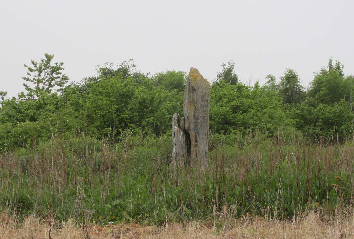
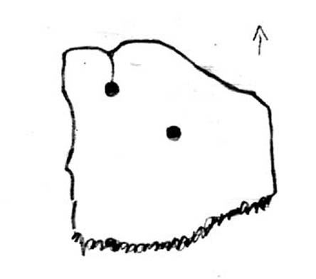
Standing Stone (fallen): OS Grid Reference – NO 25618 54024
Also Known as:

Standing Stone on 1865 map
From Alyth village, take the B954 road north for several miles. At the sharp bend of the road when you’ve crossed the Bridge of Craigisla, a few hundred yards along take the next road left. Barely 100 yards along, stop! Walk into the where the large farm-buildings are and keep your eyes peeled on the ground, just in front of the first farm building. A large long stone measuring about 7-feet (2.1m) is thereby beneath your very feet!
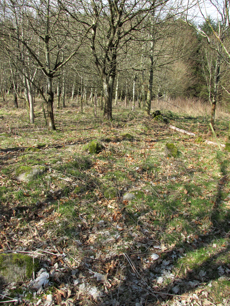
Archaeology & History
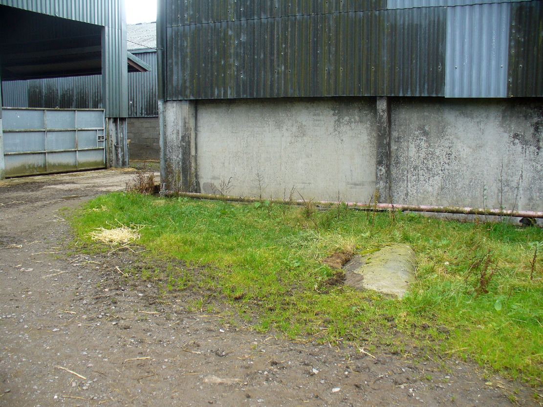
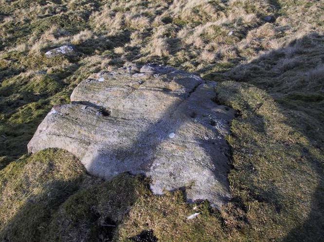
Formal Stone, laying down
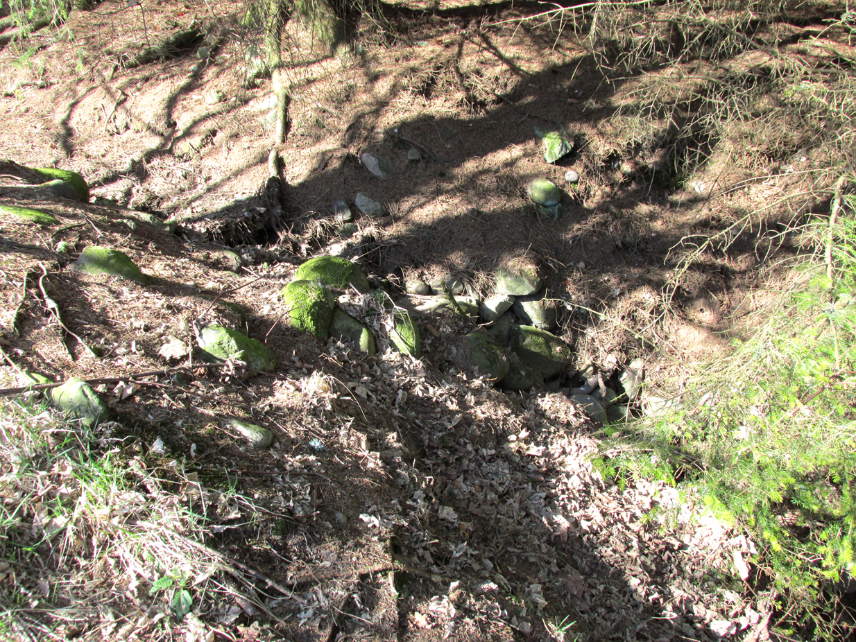
At the edge of the farm-buildings this all-but-forgotten standing stone lays prostrate, almost hidden, and slowly being covered by the soil and grasses, nearly falling away past the eyes of history. It’s a pity, as this fallen stone would have stood some six-feet upright, with a couple of feet of it underground. When it was mapped by the Ordnance Survey lads in the 1860s, a portion of the stone remained standing. This was echoed in the survey of the Object Name Book in 1861 in which the buildings of Formal were described:
“A fine farm house and offices the property of the late Robert Smith Esqr. of Balharry – in the stackyard is a broken standing stone, to which my attention was drawn by Alexander Annand of Blackdykes and the (parish) Minister.”
Thankfully the present-day farmer here would like to have the stone stood back upright, so hopefully its resurrection aint gonna be too far away.
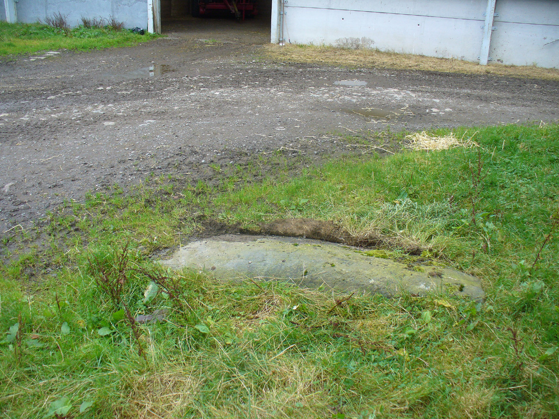
Formal Stone, looking east
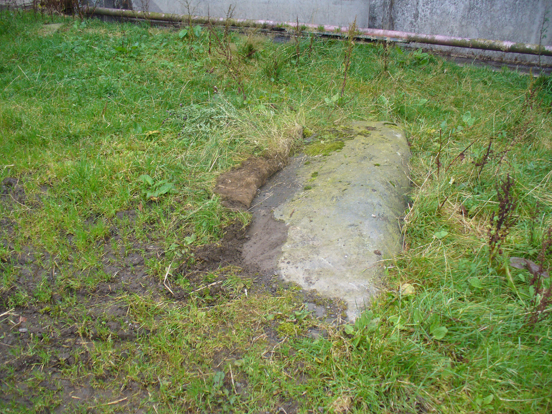
Formal Stone, looking south
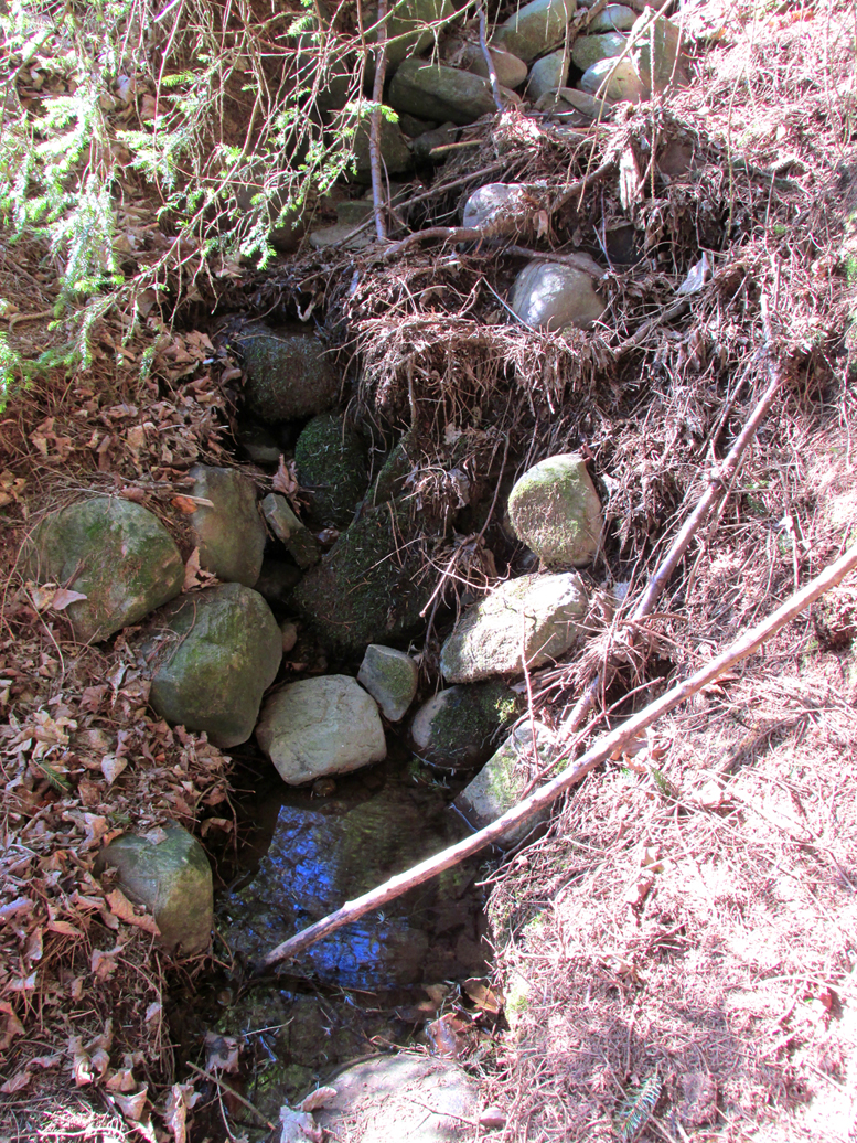
The stone isn’t lying in its original upright position. It used to stand nearly 10 yards east of here, and was knocked down and rolled into its present spot when an earlier adjacent building was erected. Another large boulder in the corner where the walls meet (at NO 25585 54044), just through the gates, may also have had some megalithic relationship with the fallen monolith.
© Paul Bennett, The Northern Antiquarian