Cairn: OS Grid Reference – NN 66612 07349
Also Known as:
- Black Wood
- Sruth Geal
Getting Here

Less than a mile east of Callander on the main A84 road, nearly 300 yards past the entrance to the Keltie Bridge caravan park, take the tiny road on your left (north) and barely 100 yards along turn right and go up here for excatly 1 mile (give or take a few yeards) where track goes into the forest on your left and you can park-up here. Walk up the track into the silence for just under a mile where, as the track splits and you kink to the right, a gate appears. On the other side of the gate, turn immediately left, almost walking back on yourself, just above the curving waters of a burn, through boggy reeds, keeping to the fence-line until, less than 300 yards along, you’ll reach what you’re looking for.
Archaeology & History

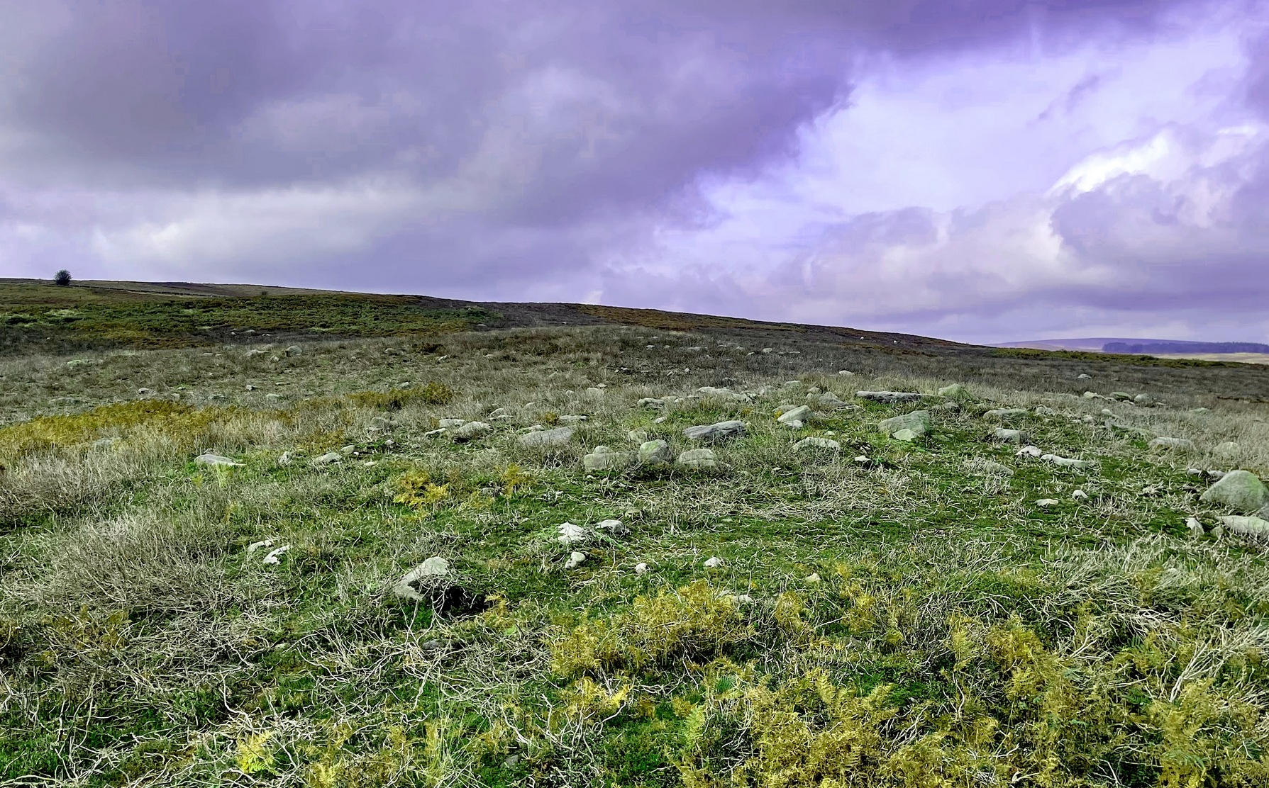
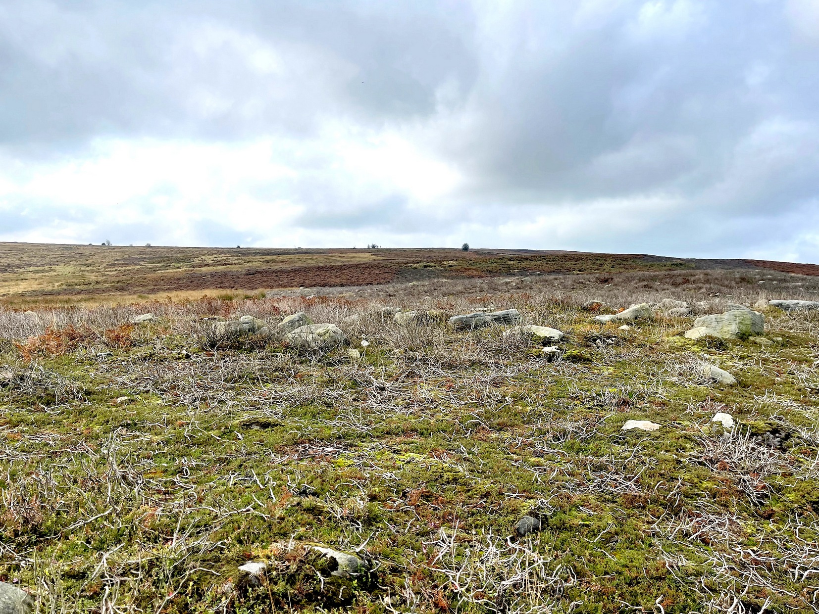
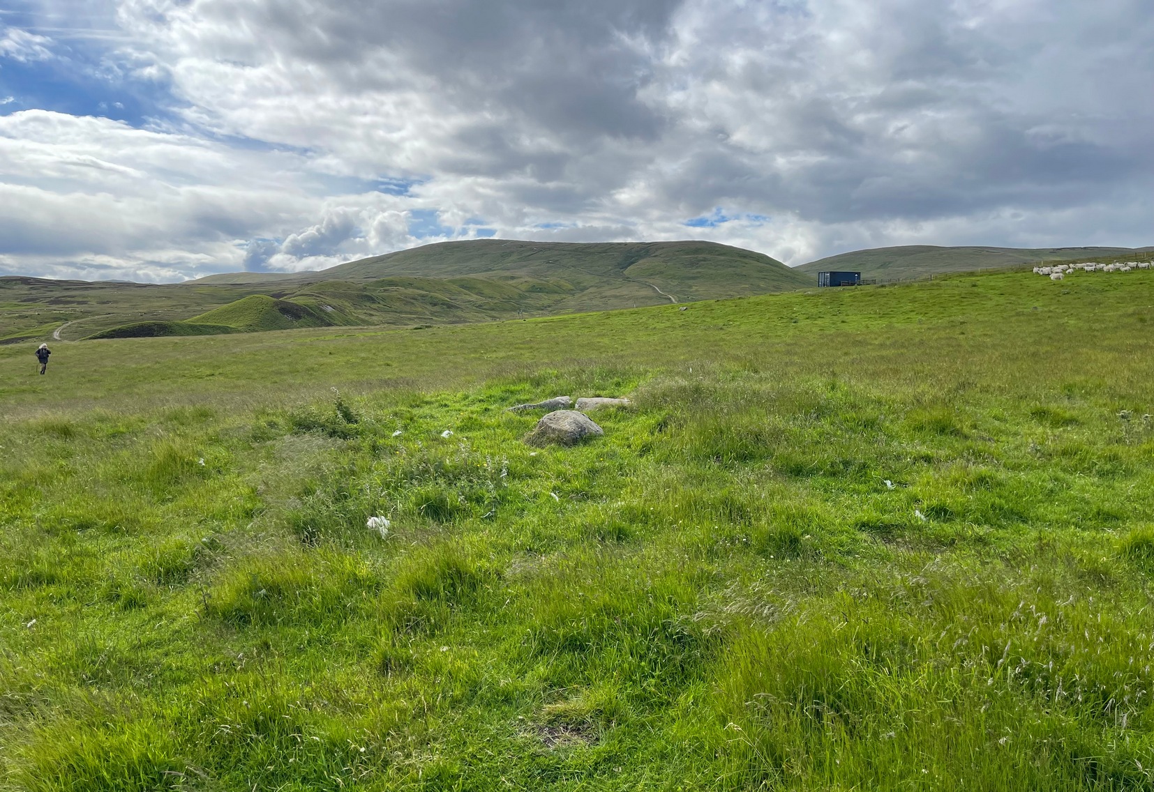
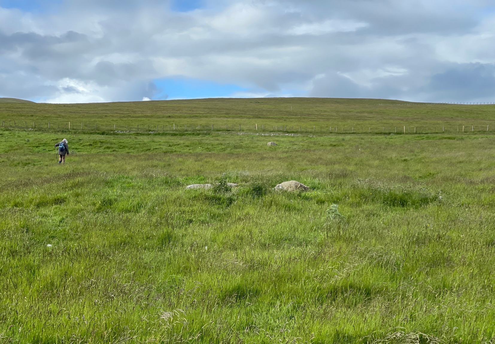
This reasonably large cairn and its neighbours (Black Park [2], [3], [4] and [5]) would appear to be relatively new discoveries as I can find nothing about it prior to the Royal Commission’s 1994 survey. They are even absent from Moray MacKay’s (1953) excellent work on the area! Hence, descriptions of it are scant and visitors to the place are few indeed (we did meet a local who knew about the old tomb, but said that nothing was known about it); but it is, nonetheless, a fine, albeit denuded and very overgrown cairn, living today amidst a quiet mass of reeds and surrounded by boggy ground—so make sure you’ve got your boots on!


At its height, today, it stands less than four feet tall and measures roughly 16 yards across at its widest. Through one section of the tomb there runs a raised line of stonework that almost looks like internal walling, which may have been where a chamber once existed. It’s been hollowed out by someone in the not-too-distant past but, as I said, there are no records of such a thing, so whether or not that was a chamber or merely a fortuituous collapse of stone in a straight line, we can’t really say. Along its more northern edges there seems to be a small raised wall of stone defining its edge, although once again it requires a more discerning examination to work out whether this is part of its original facade, or is a result of some of the stone mass falling to the edges.
Visit the old place and sit with its silence for a while…
References:
- Royal Commission Ancient & Historical Monuments, Scotland, Braes of Doune: An Archaeological Survey, RCAHMS: Edinburgh 1994.
© Paul Bennett, The Northern Antiquarian