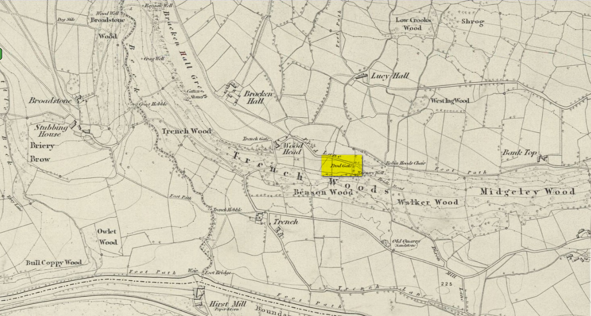
Cup-and-Ring Stone: OS Grid Reference – SE 13266 38928
Also Known as:
- Carving BM14 (Hedges)
- Carving no.136 (Boughey & Vickerman)
Getting Here
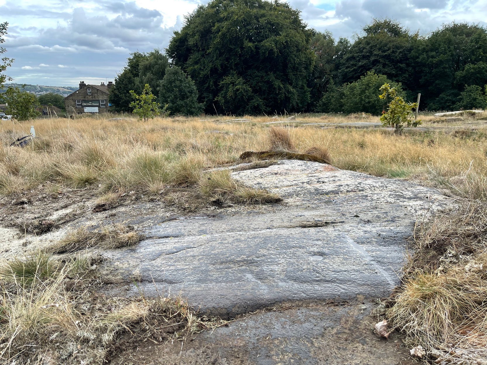
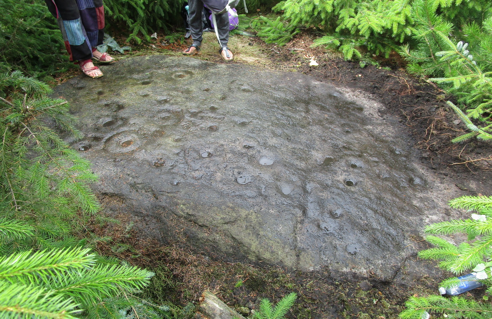
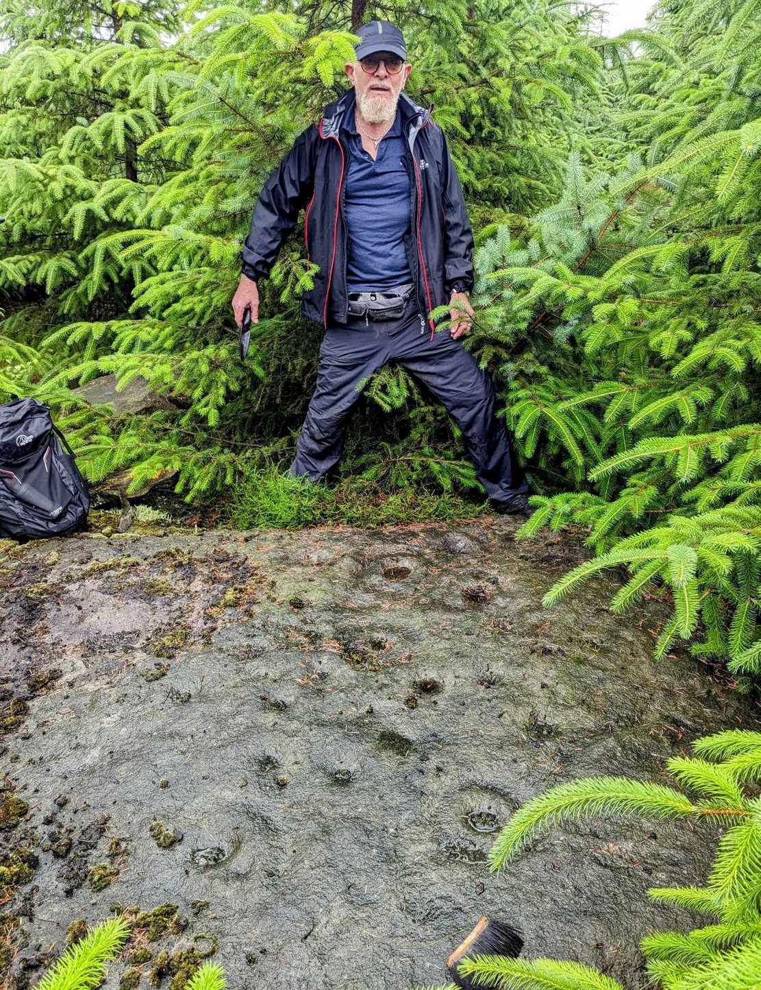
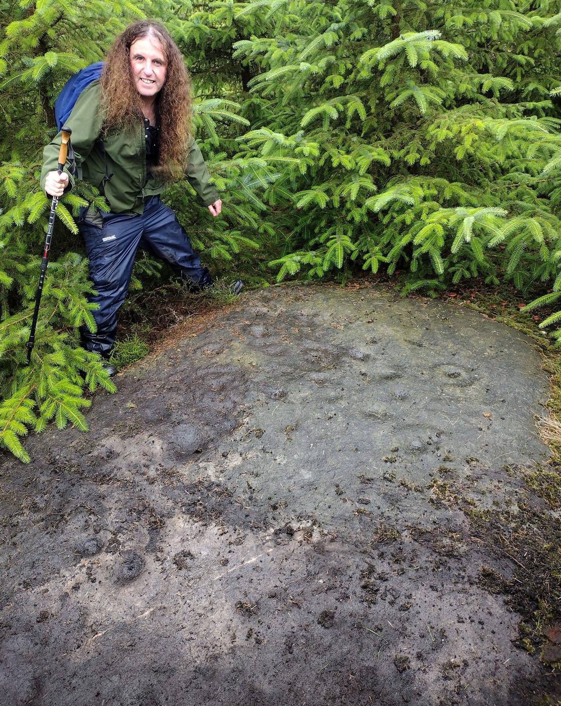
Once you’ve got yourself to the start of Shipley Glen, from the Old Glen House pub, from the car-park outside walk up the road for 60 yards (if you reach the next small car-parking spot, you’ve gone too far) then step off-road into the vegetation on your left and you’ll see the large flat fractured section of earthfast rock. Get low down and seek out the cup-mark first!
Archaeology & History
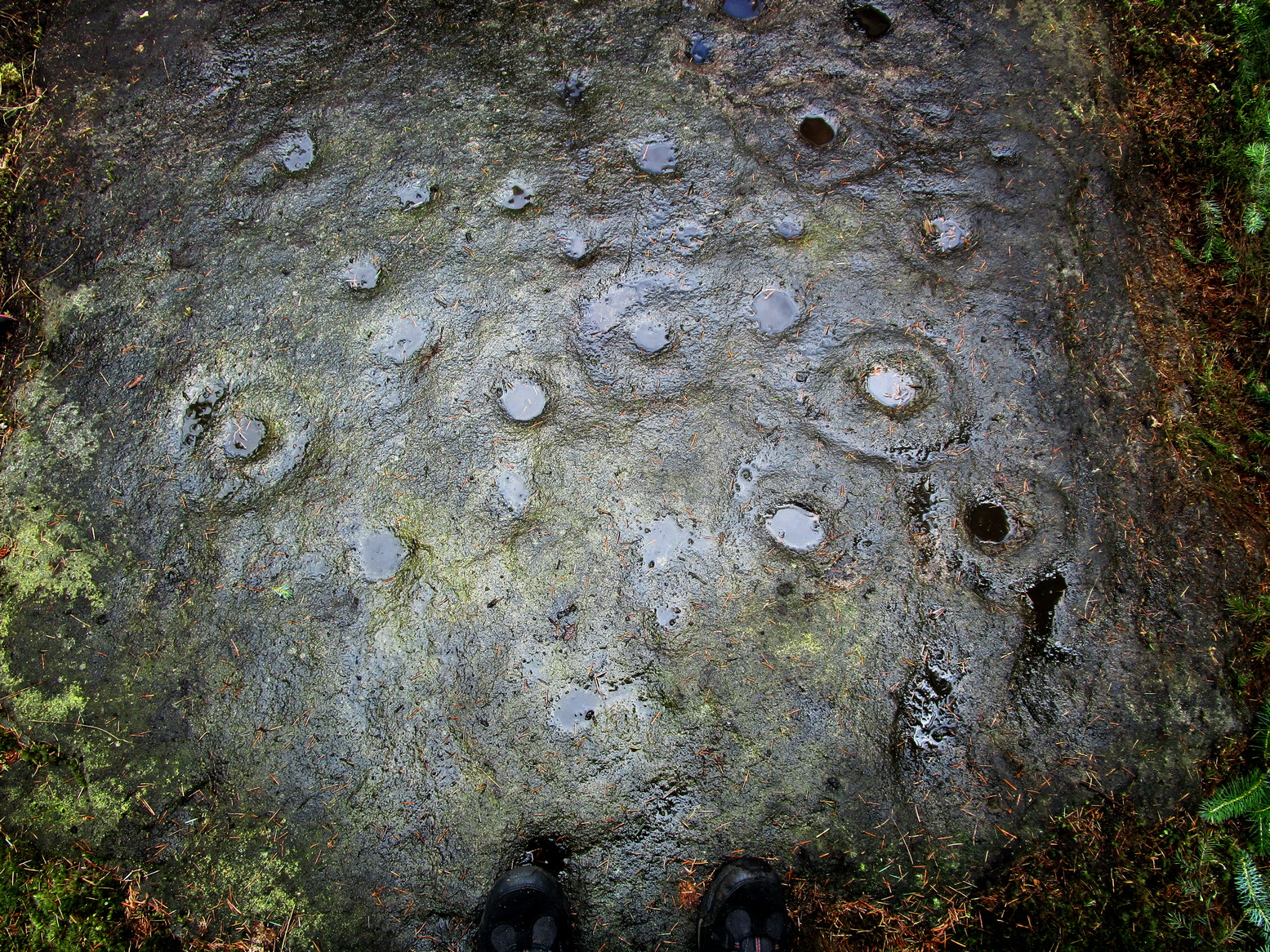
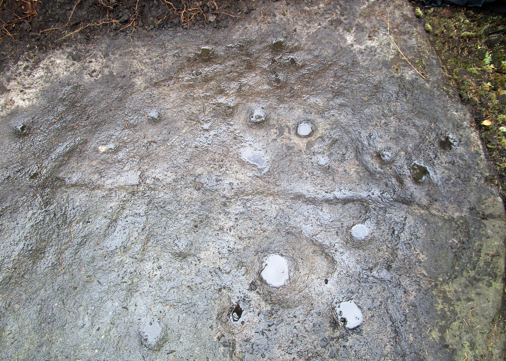
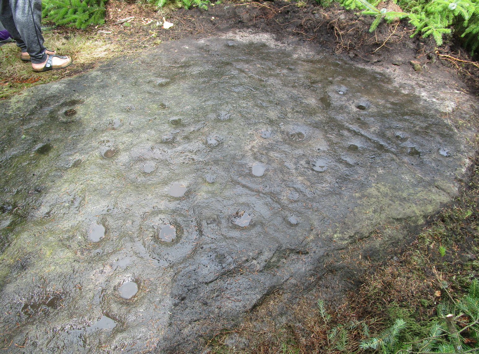
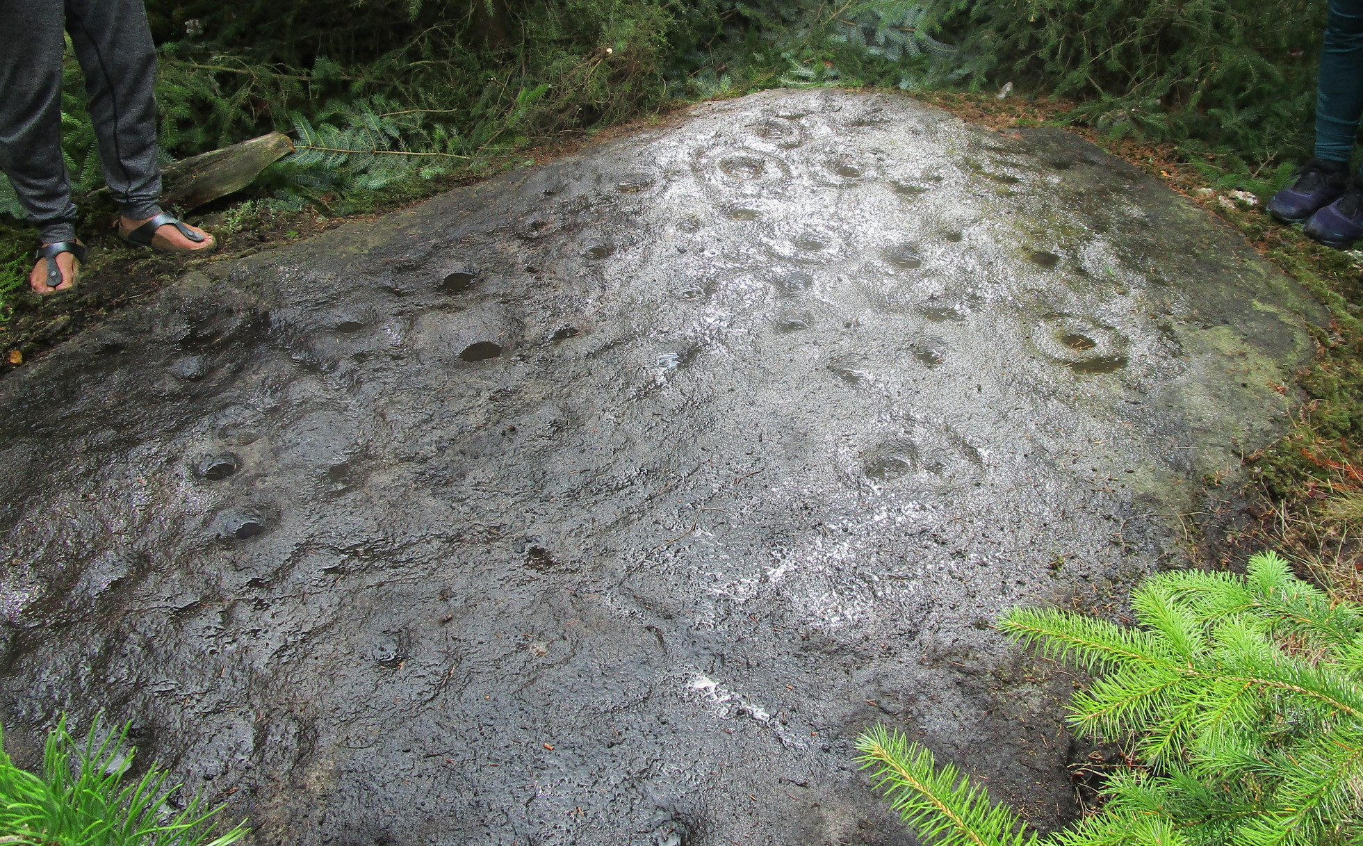
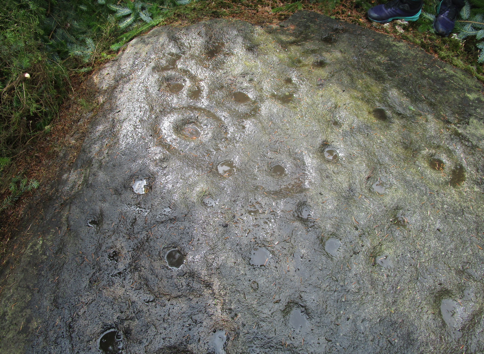
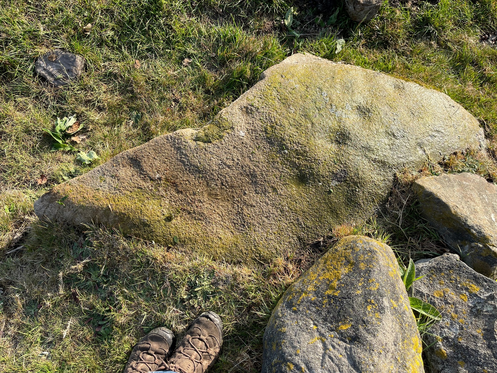
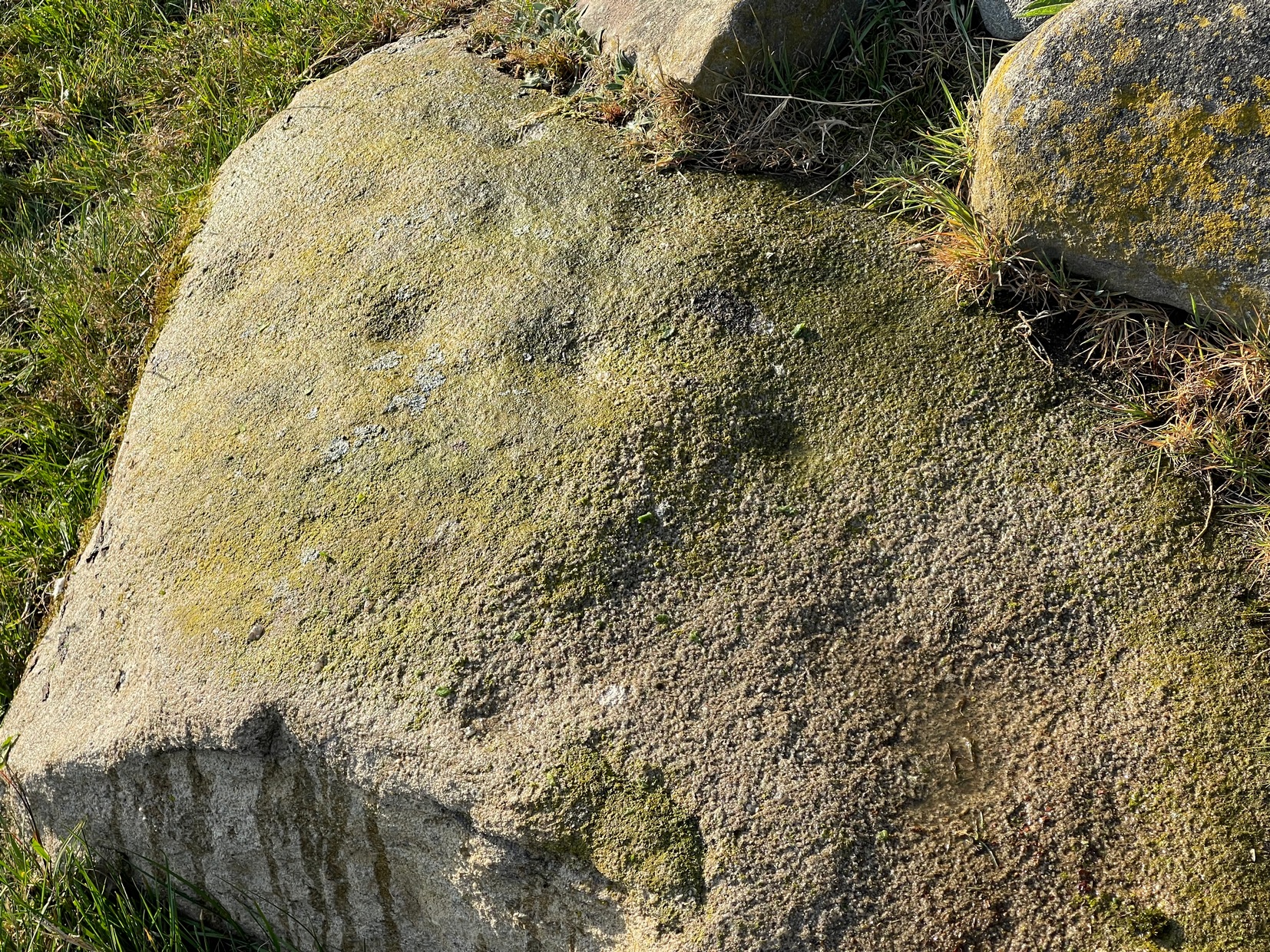
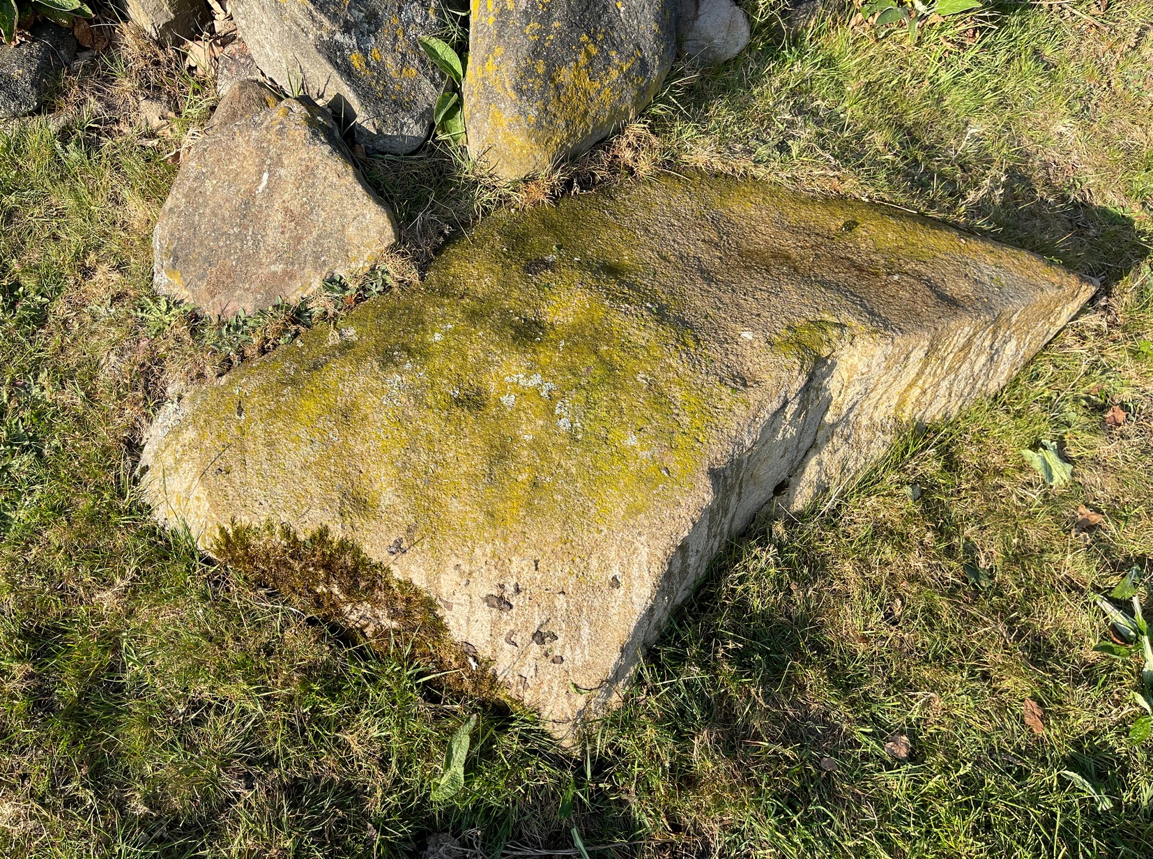
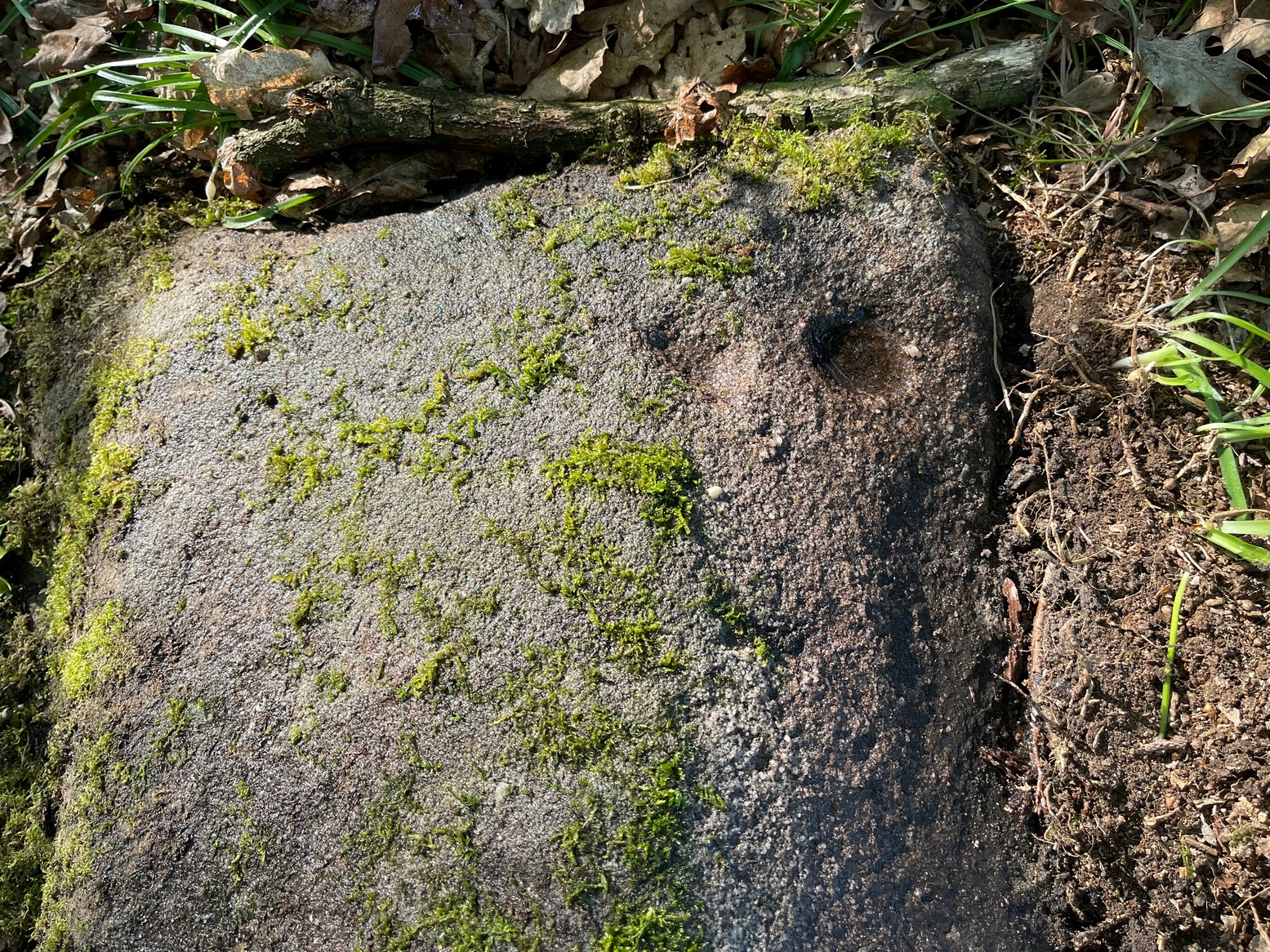
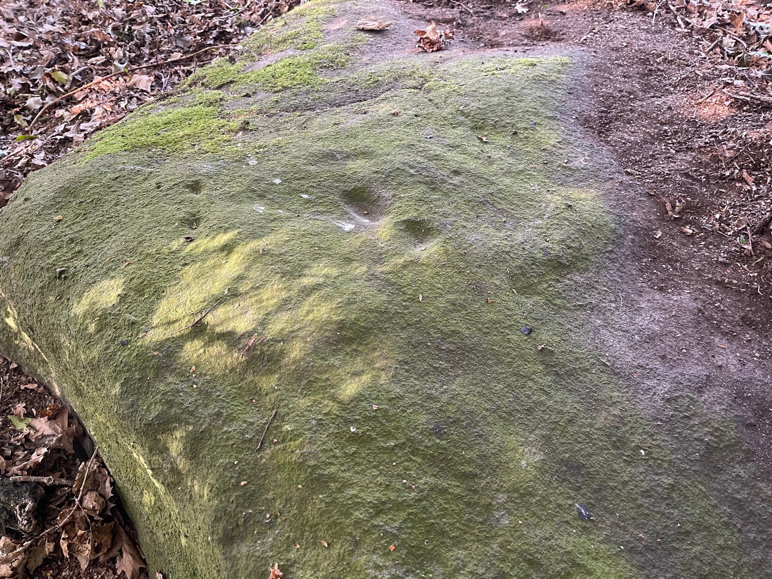
This is a very faded and quite basic design and unless you get decent low sunlight, it can be very difficult to discern. On my most recent visit here, conditions weren’t too good, as the photos here indicate.
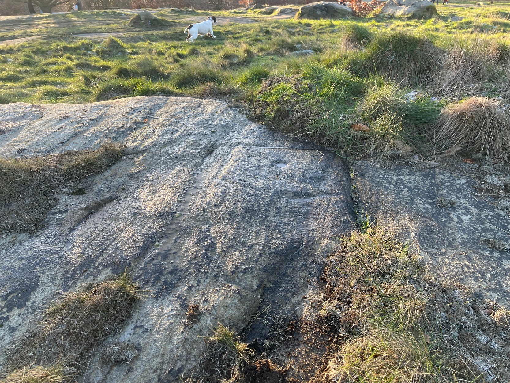
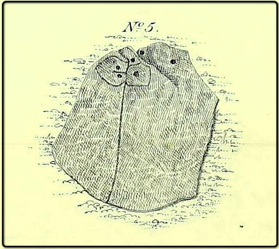
The main feature is a single cup-mark surrounded by a very wide ‘square’ ring (if y’ get mi drift). It’s possible that this carving was first described and illustrated by the great Yorkshire genealogist J. Horsfall Turner (1894) in conjunction with the missing Brackenhall Green carving — although he did tell that they were, since June 1889, “both now destroyed”. But the carving here does bear a distinct similarity to the one he illustrated and so it may have just been covered in turf (or am I grasping at straws here?!). And despite this resemblance, one or two features in his description aren’t found in the carving that we see today. When John Hedges (1986) added the carving to his survey, he described it simply as:
“Striated, pitted bedrock with crack down centre, in grass and amongst other rocks and bedrock. Carving, centre and W end: enclosure type angular grooves and two cups.”
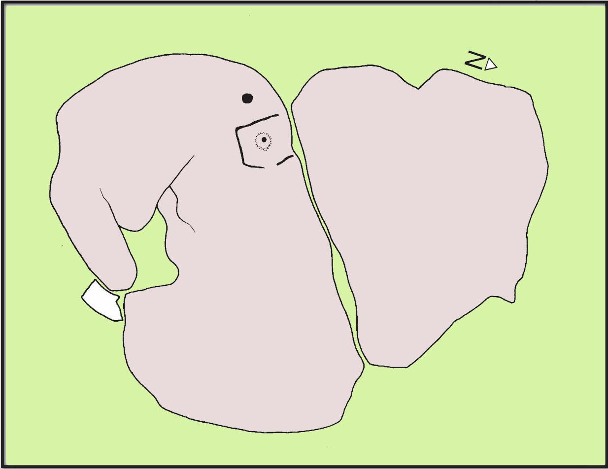
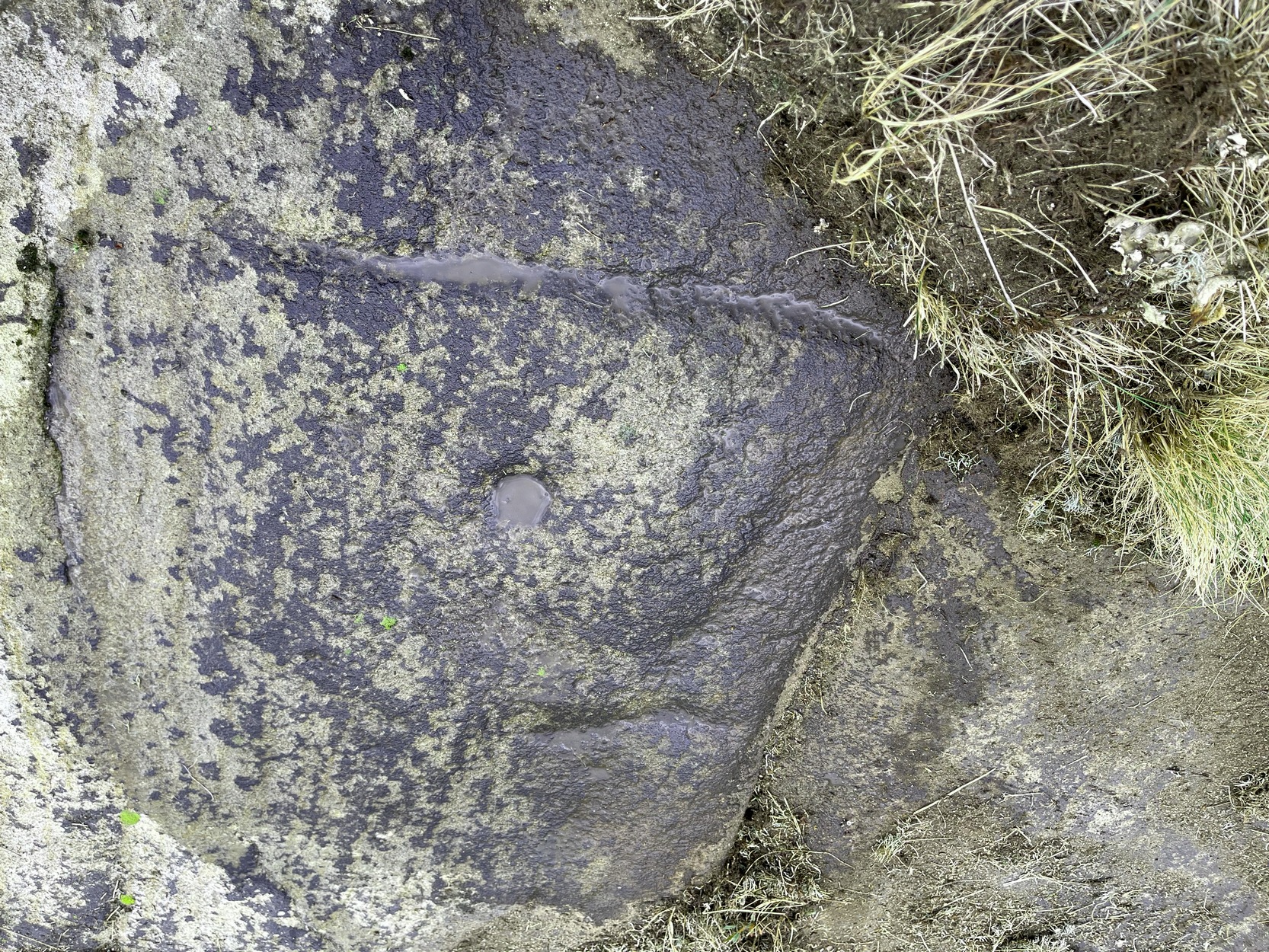
One of the two cups is presently beneath some shallow vegetation (easily removed if anyone’s passing), but the main feature of the large enclosing square and its central cup is presently exposed and can be seen when your eyes eventually adjust. Interestingly, Hedges shows the existence of a faint ring around the central cup inside of the larger square enclosure. If someone is able to capture a photo of this, please add it on our Facebook page. 🙂
It must also be emphasized that somewhere, not too far from this carving, was once found a very similar design known as the Brackenhall Green carving that possessed the same curious squared-ring feature that we find on this stone.
References:
- Boughey, Keith & Vickerman, E.A., Prehistoric Rock Art of the West Riding, WYAS: Wakefield 2003.
- Hedges, John (ed.), The Carved Rocks on Rombalds Moor, WYMCC: Wakefield 1986.
- Turner, J. Horsfall, ‘Cup Marks, Shipley Glen,’ in Yorkshire County Magazine – volume 4, J.E. Watmough: Idel 1894.

© Paul Bennett, The Northern Antiquarian