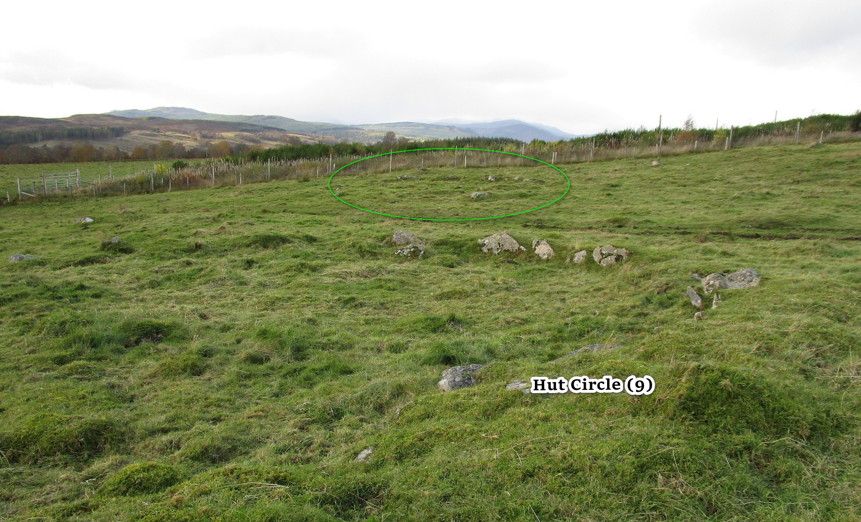
Hut Circles: OS Grid Reference – NO 10018 56937
Getting Here
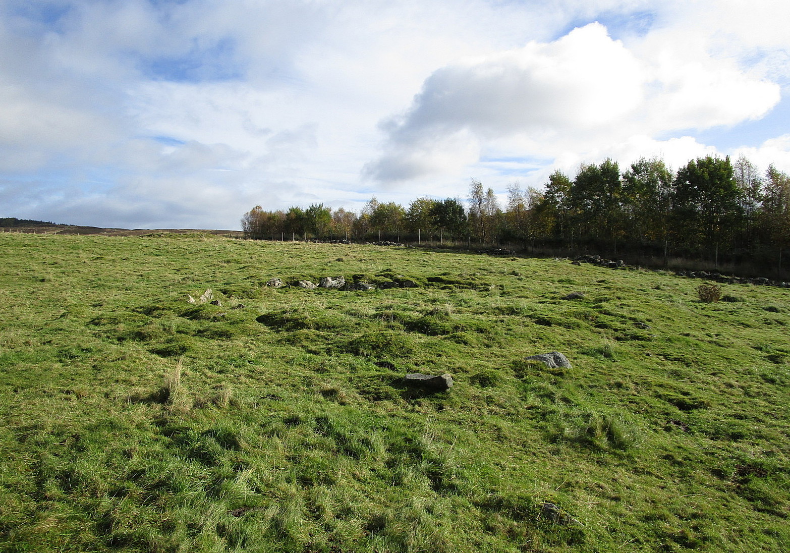
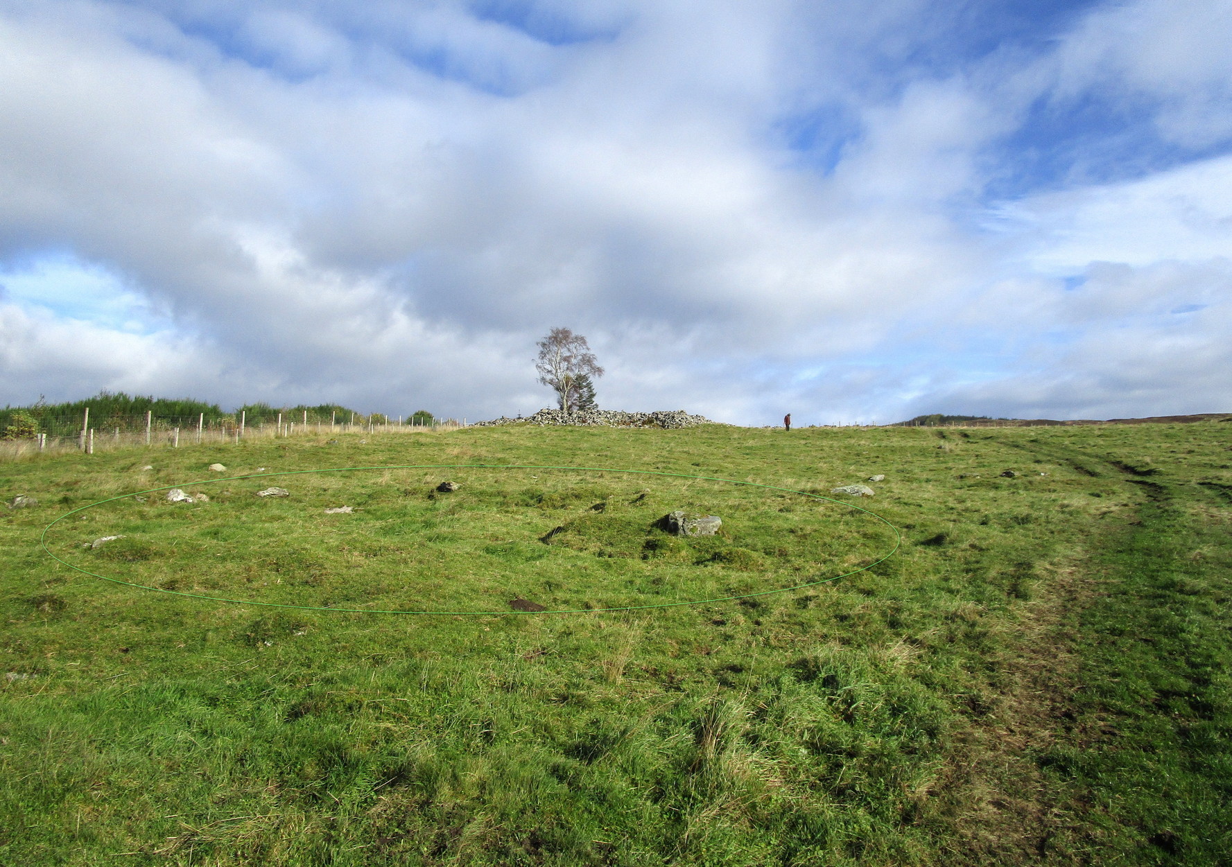
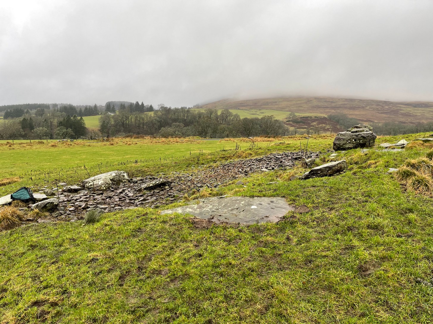
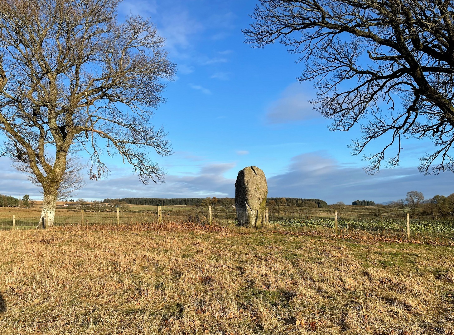
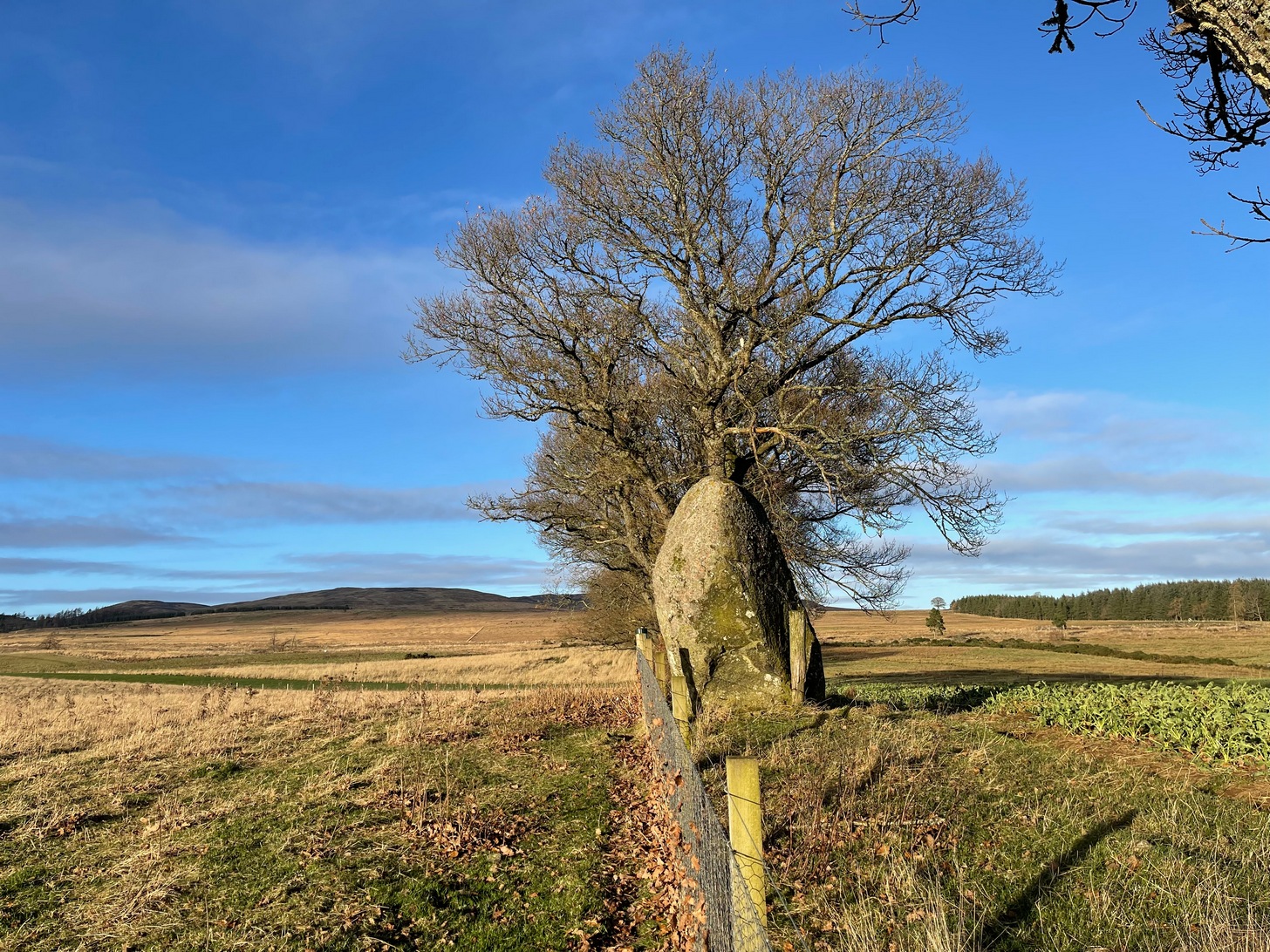
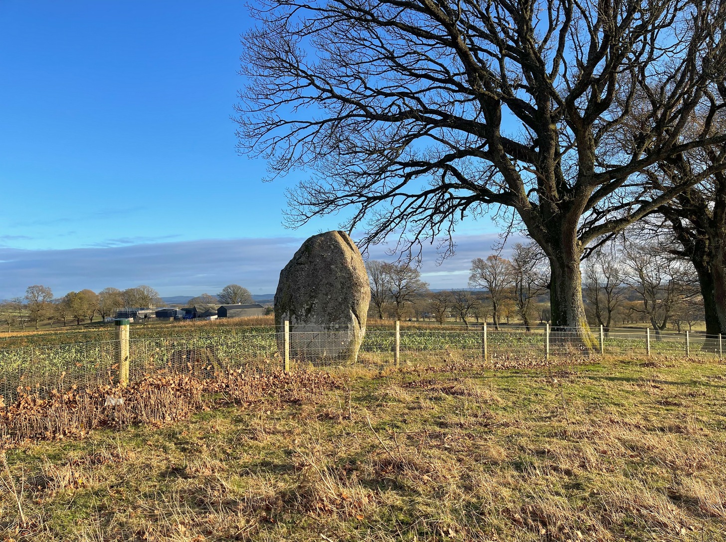
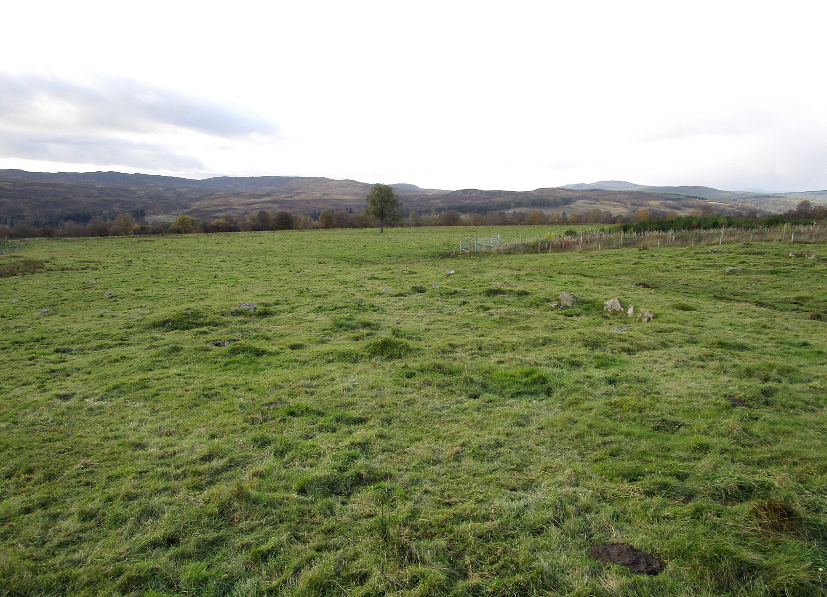
Along the A924 Strathardle road, a couple of miles south of Kirkmichael, about 100 yards south of the Balnabroich standing stone, look out for the dirt-track that runs up the slope on the east side of the road. Go up here, past Stylemouth house and further up the track where it opens out into the fields. Keep heading up the same track and you’ll notice on the near skyline a few hundred yards ahead of you, a mass of stones with a tree growing out of it. That’s the Grey Cairn; and about 75 yards below it, just to the right-side of the path low down in the grasses, you’ll see this hut circle.
Archaeology & History
In an upland area that is literally teeming with ancient remains, this is a good place to start if you’re wanting a day out exploring. It’s the best and easiest of the hut circles to find and is a good indicator of what to look for when you’re seeking out the others close by. This particular prehistoric house has been noted in various books and essays: firstly by the great Scottish antiquarian John Stuart (1868) in his overview of the great mass of sites hereby, saying simply:
“A hut circle on the south-west of the Grey Cairn was dug into around the entrance, in the belief that in this situation articles would probably have been thrown out, but with no result. In the centre, charred wood and minute fragments of bones were found.”
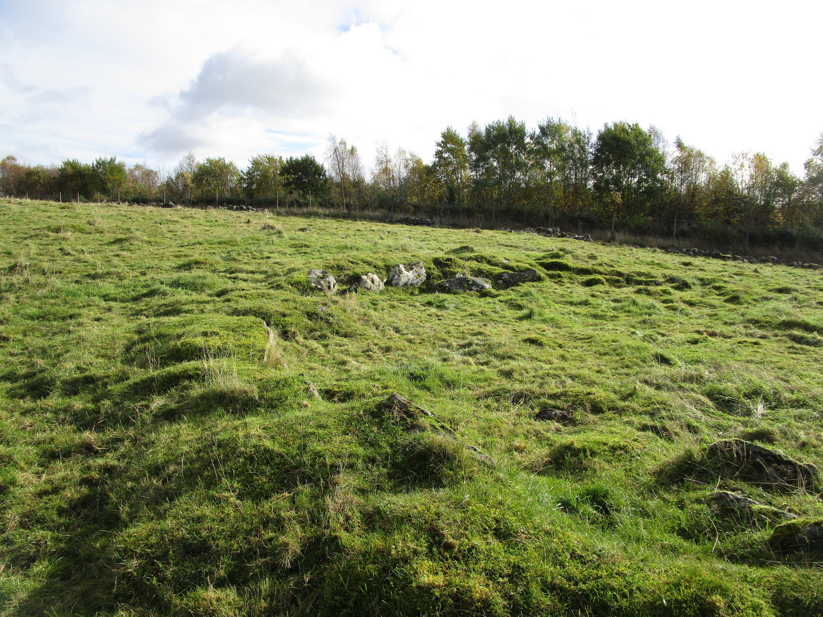
The great Christian MacLagan (1875) came to survey the area shortly after Stuart’s visit, making a series of sketches of some of the circles. She noted fourteen huts hereby, but it’s not totally clear which of them is this particular “hut 9”. It seems to have been her hut circle no.13, which she told “has a central chamber 40 feet in diameter, and its wall is 10 feet broad.” This is pretty close to our modern measurements. From outer wall to outer wall, its east-west axis measures 47 feet, and its north-south axis measures 49 feet. The most notable section of the walling is on is northern and eastern sides where it is deeply embedded into the ground.
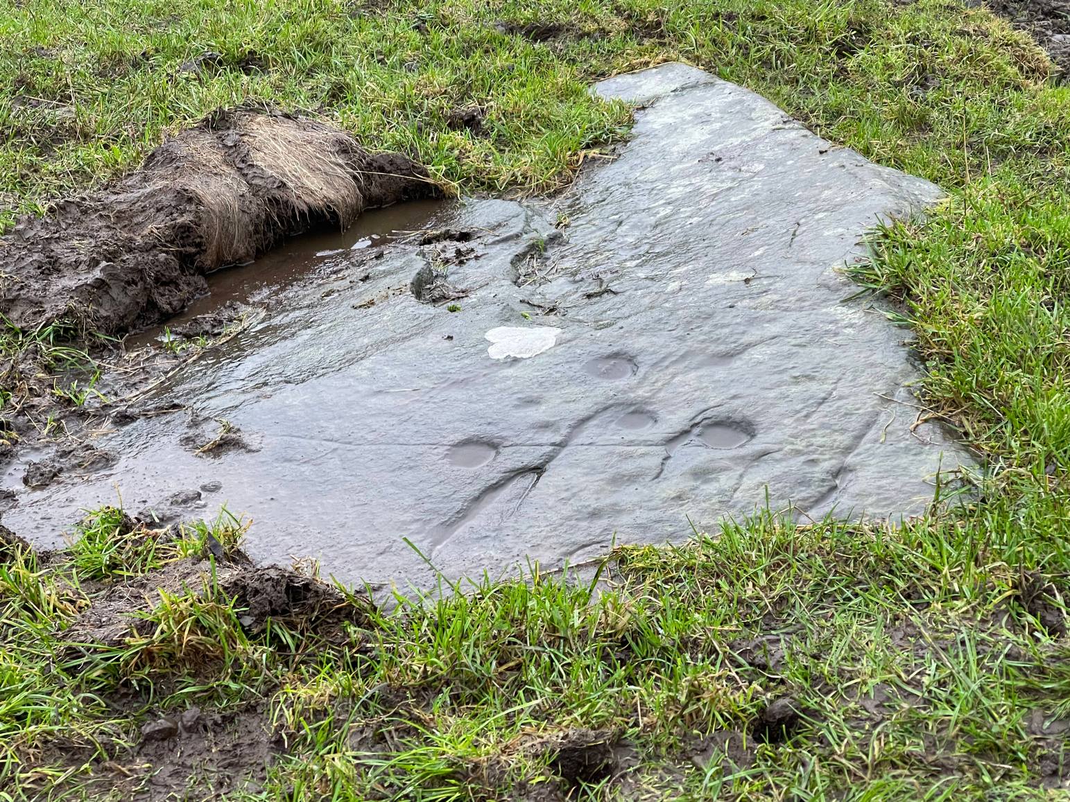
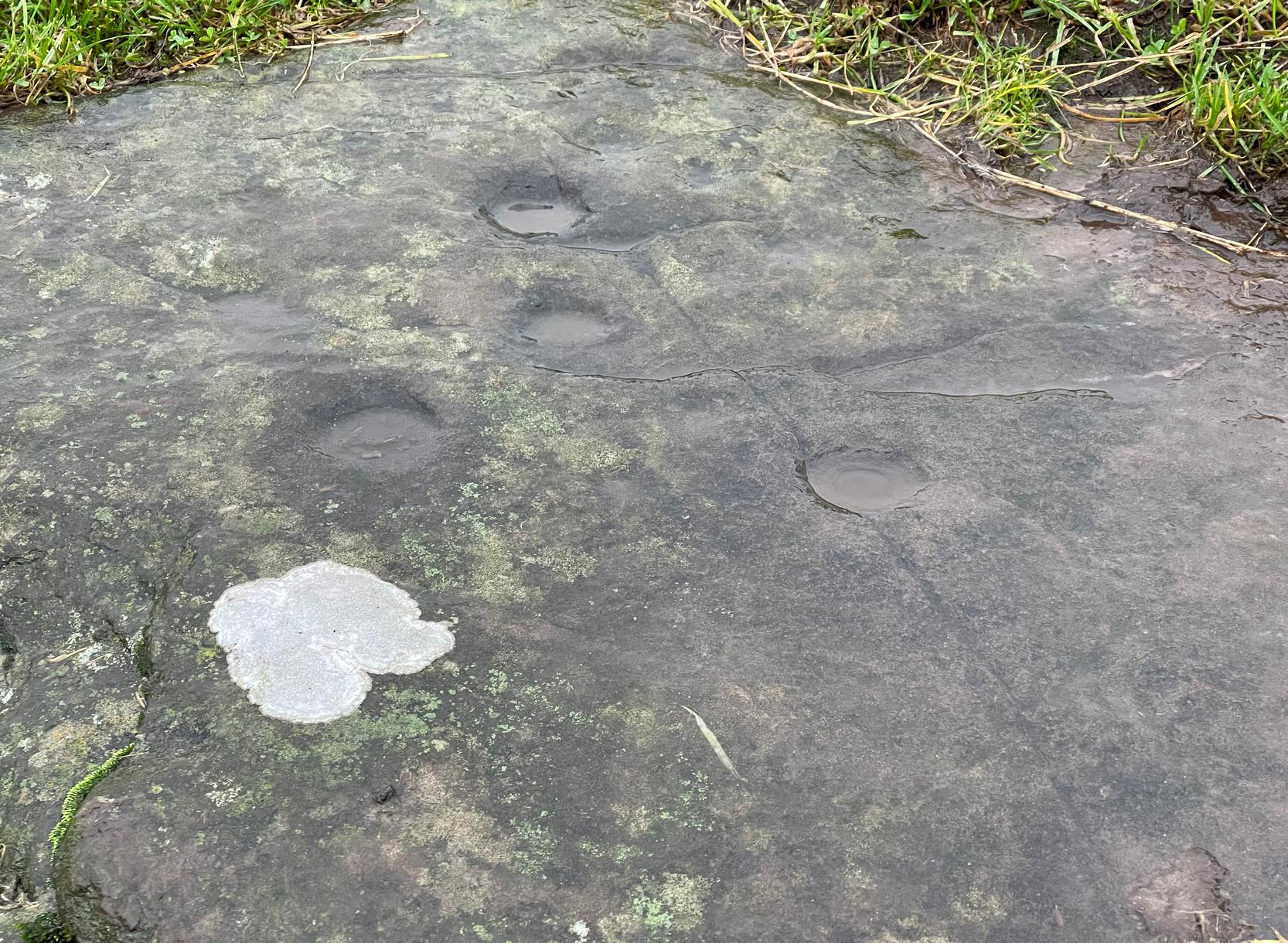
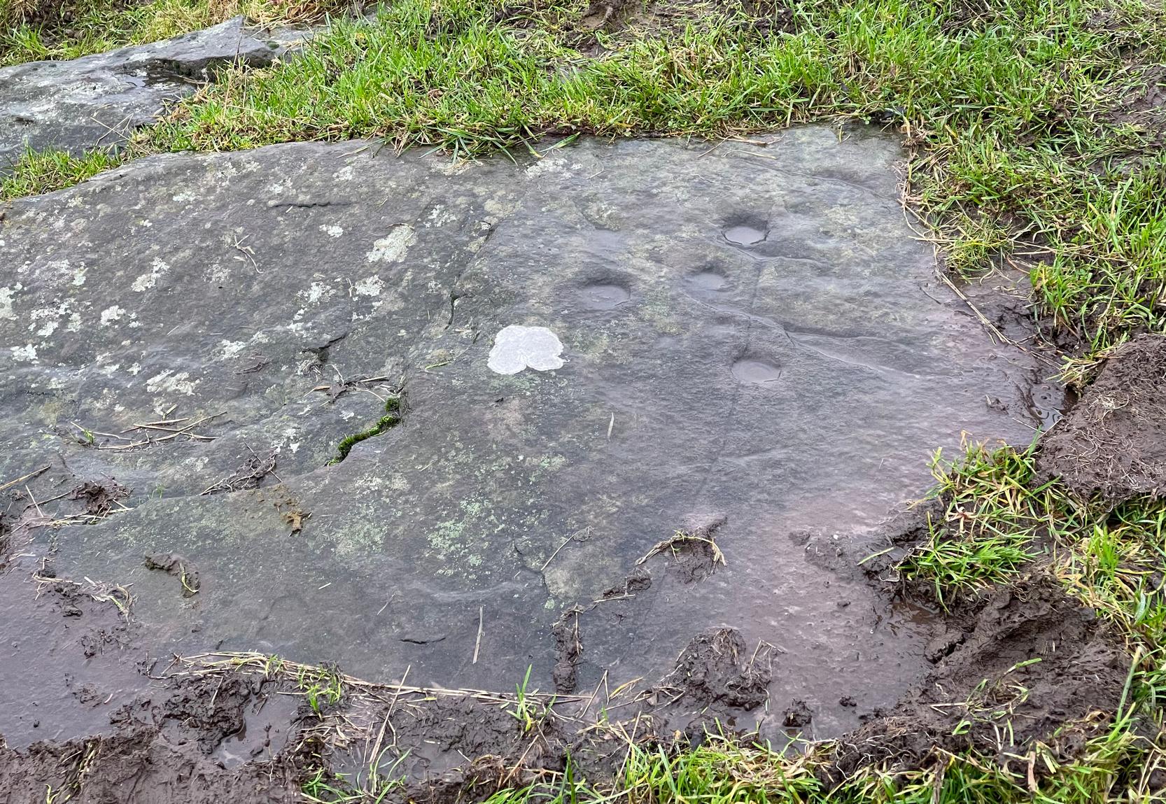
When you’re sitting in this hut circle, eating your sandwich or drinking your juice, remember that thousands of years ago someone was doing exactly the same thing in the place where you’re now sat!
Just 70 feet away is hut circle no.10 in this cluster; whilst above this is the massive prehistoric rock pile of the Grey Cairn; and the smaller earth-covered mound above you to the right is another prehistoric burial. A small stone circle is on the moorland level beyond that… There’s plenty to see here.
References:
- Coutts, Herbert, Ancient Monuments of Tayside, Dundee Museum 1970.
- Harris, Judith, “A Preliminary Survey of Hut-circles and Field Systems in SE Perthshire”, in Proceedings Society Antiquaries, Scotland, volume 114, 1984.
- MacLagan, Christian, The Hill Forts, Stone Circles and other Structural Remains of Ancient Scotland, Edmonston & Douglas: Edinburgh 1875.
- Royal Commission on the Ancient & Historical Monuments of Scotland, North-East Perth: An Archaeological Landscape, HMSO: Edinburgh 1990.
- Stuart, John, “Account of Excavations in Groups of Cairns, Stone Circles and Hut Circles on Balnabroch, Parish of Kirkmichael, Perthshire,” in Proceedings Society Antiquaries, Scotland, volume 6, 1865.
- Thorneycroft, Wallace, “Observations on Hut Circles near the Eastern Border of Perthshire, north of Blairgowrie,” in Proceedings Society Antiquaries, Scotland, volume 67, 1933.
Acknowledgements: Huge thanks for use of the Ordnance Survey map in this site profile, reproduced with the kind permission of the National Library of Scotland.
© Paul Bennett, The Northern Antiquarian