Cnoc Brannan, Glen Artney, Comrie, Perthshire

Standing Stone:  OS Grid Reference – NN 7266 1627

Also Known as:

  1. Brannan Stone

Getting Here

Into the eve of western hills

Make a day out of this one, visiting several old places on the way.  From Comrie take the B827 road to Braco, turning right at the tiny Glen Artney road a half-mile along (easy to miss).  3 miles along, pass the derelict Dalness cottage, you can follow the directions to get to the Mailer Fuar (2) cup-and-ring stone; and from here go up the field past the Mailer Fuar (1) carving, through the gate and follow the fence to your right.  Keep going till your reach the Allt na Drochaide cup-and-ring stone.  From here you’re heading (south) towards the rounded crags of Cnoc Brannan.  It’s boggy as fuck in parts so cautiously zigzag through this section up towards the small grassy rise about 350 yards from the cup-and-ring stone.  You’ll find it!

Archaeology & History

From the old stone, gazing S

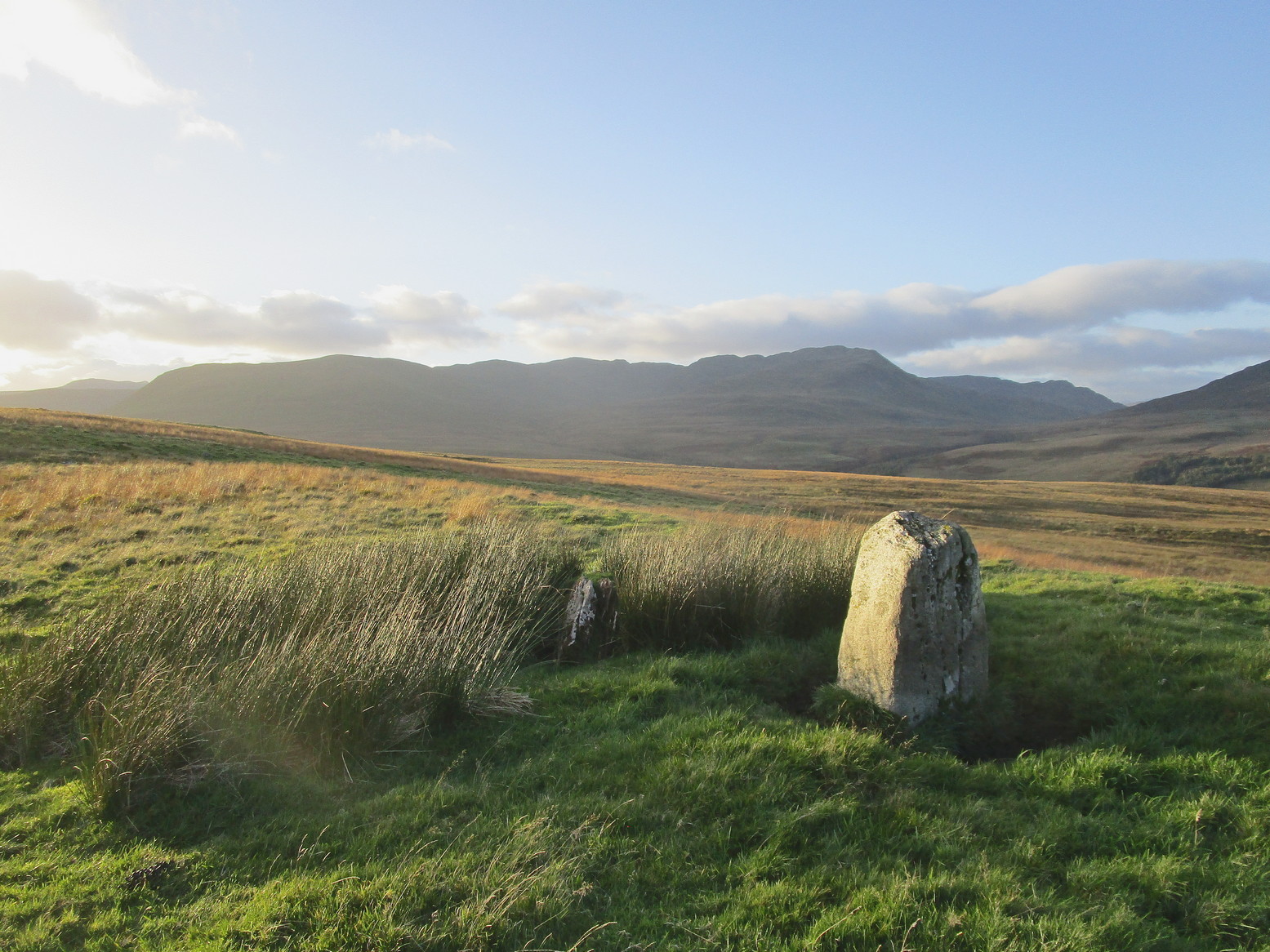
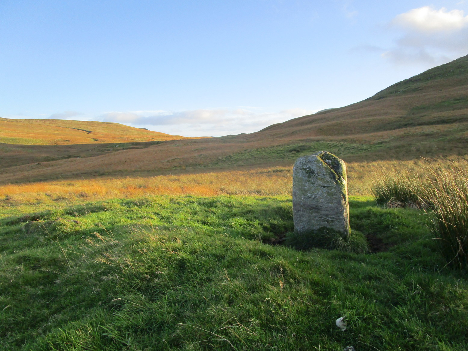
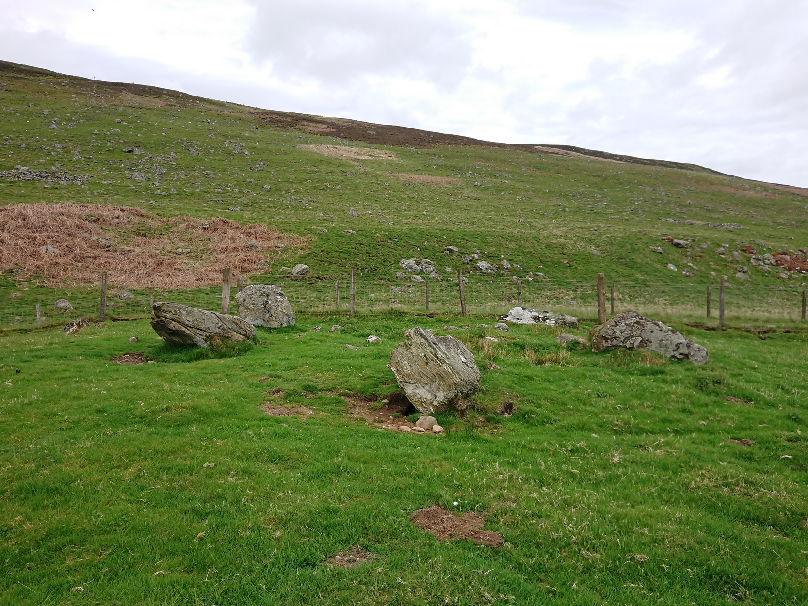
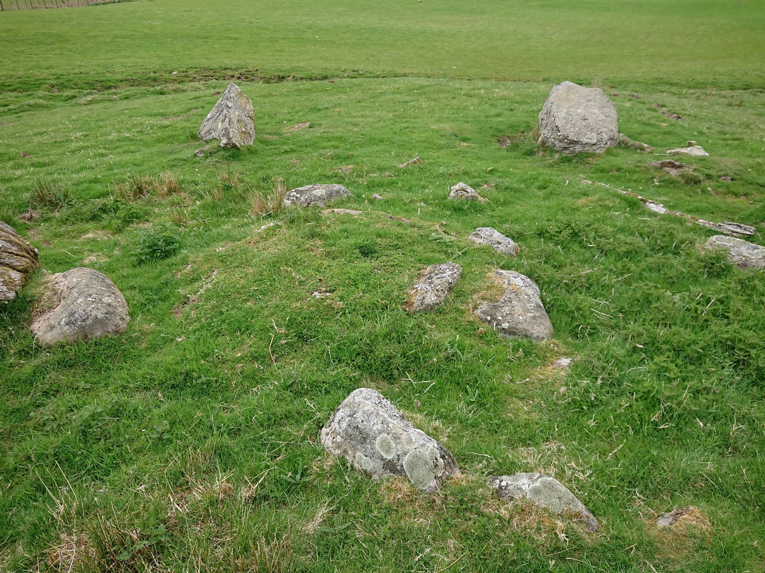
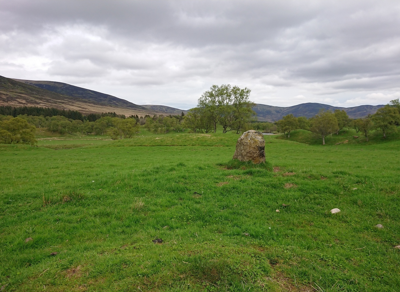
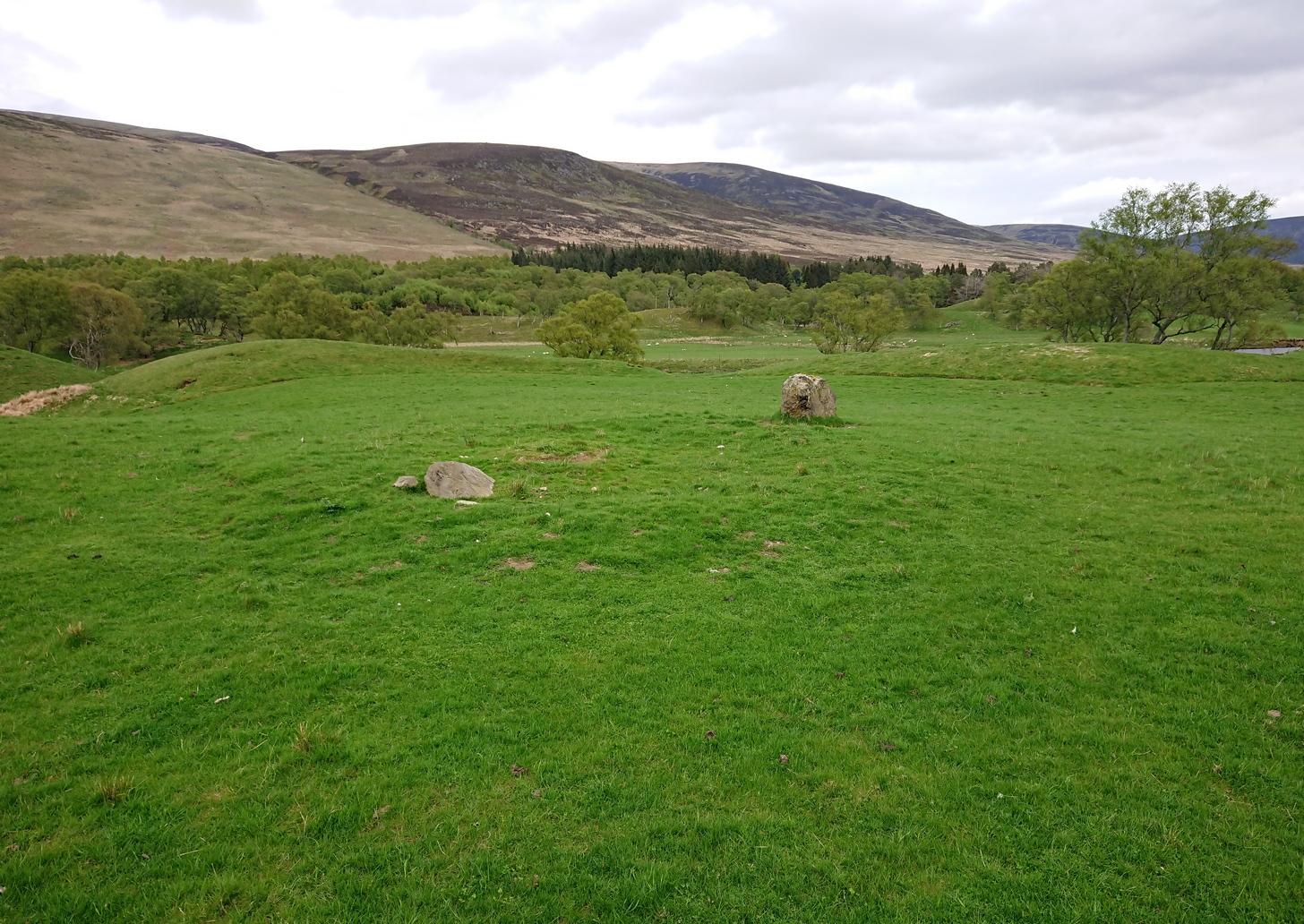
On one of the gentle rises below the northern slope of Cnoc Brannan we find this sturdy old fella, 3-4 feet tall (I didn’t measure it), looking across the stunning landscapes north, east and west along Glen Artney.  Not previously recorded and seemingly isolated from other prehistoric remains, he looks all alone at first sight, but laid down in the grassy rushes (Juncus conglomeratus) to his side, is a slender seven-foot long stone which may have stood upright in the not-too-distant past, giving us another double stone setting in this area (at least two others existed in this area—the closest being at Craggish, 3.7 miles northeast).  I have little doubt that other undiscovered prehistoric remains are hiding in the area. (there are a number of single cup-marked stones in the locale, although I tend to leave such examples off the catalogues as they can be somewhat dubious [and many are].  I mention this just in case any rock art students want to forage the area.)

Dedication: This one’s for Pete & Sharon

© Paul BennettThe Northern Antiquarian

Allt Geal Chairn, Amulree, Perthshire

Standing Stone:  OS Grid Reference – NN 89079 34041

Getting Here

The old stone, looking W

Take the A822 road to the northeast of Crieff and head 4-5 miles along until you enter the Sma’ Glen.  You go past Ossian’s Stone and after crossing the river past the Newton Bridge enclosure, the road starts to go uphill.  Nearly 2 miles up, the road levels out and at the left-side of the road is a small thin car-parking spot.  Keep your eyes peeled out for it!  From here, walk back down the road for nearly 250 yards until your reach a gate into the fields on your right.  By now you should already be able to see the stone in the field, barely 100 yards away to the southwest.

Archaeology & History

The old stone, looking N

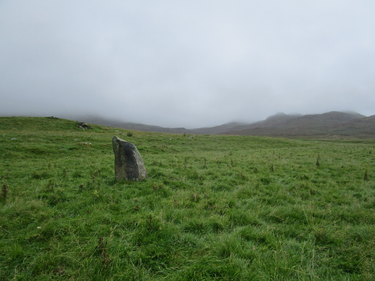
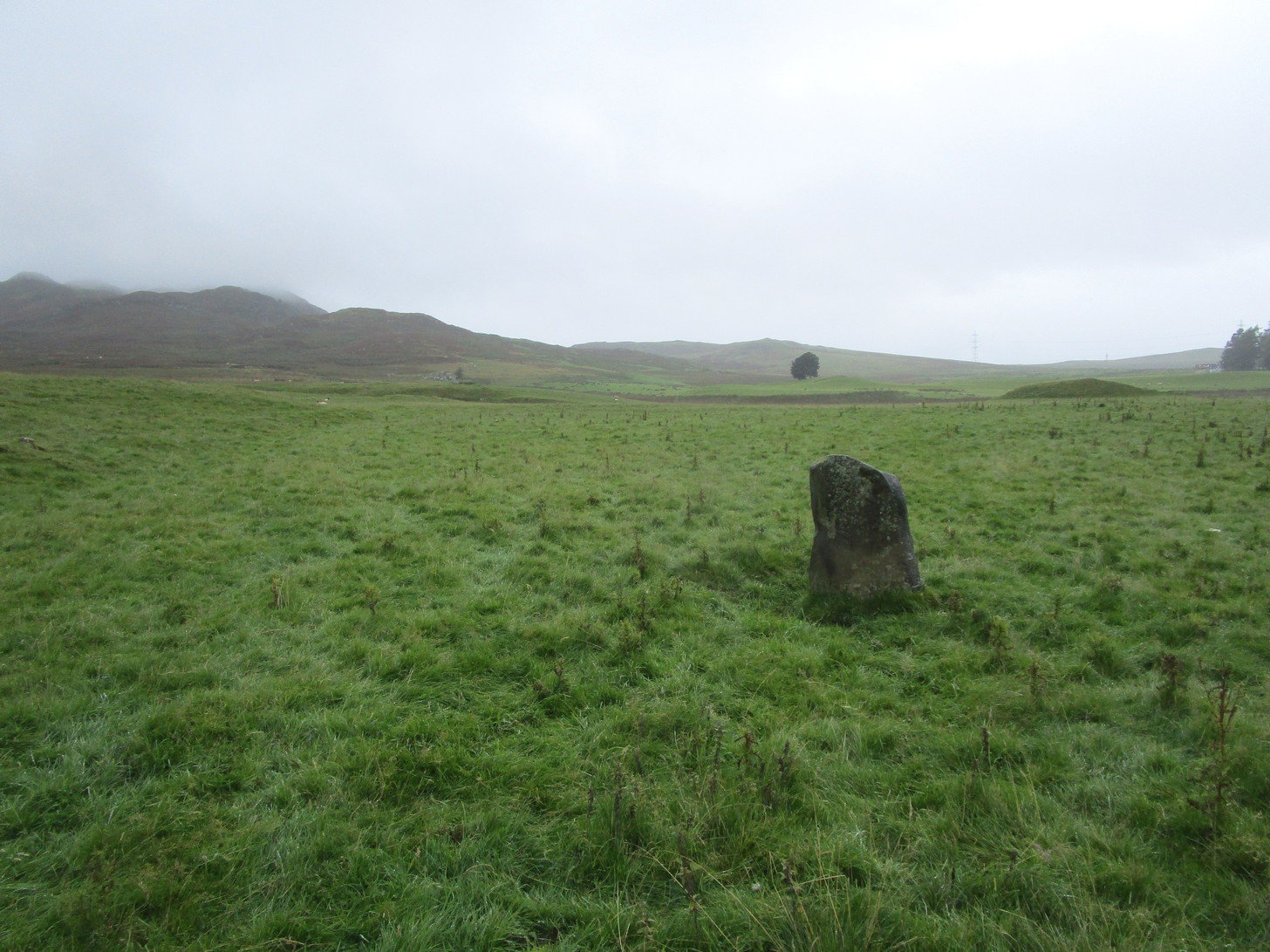
Standing within the impressive landscape of the Perthshire mountains, this 4-foot-tall monolith is a seemingly solitary fella, sliced almost straight down one side—like so many of its regional compatriots—not far from the edge of General Wade’s military road.  Not much more can be said of the old thing.  The petroglyphic cluster of Corrymuckloch begins less than half-a-mile to the north; and, in all likelihood, other prehistoric sites will exist close by that aren’t yet in the archaeological registers…

AcknowledgmentsThanks to my long-suffering daughter Naomi, for taking me up for a quick break to see this old stone…

© Paul BennettThe Northern Antiquarian

Kirktonhill, Channelkirk, Berwickshire

Stone Circle (destroyed):  OS Grid Reference – NT 474 548

Archaeology & History

Included in Aubrey Burl’s (1976) first gazetteer, without comment, the site was subsequently added to John Barnatt’s (1989) magnum opus.  He tells that in the 19th century, “early Ordnance Survey records…note a destroyed stone circle” here, but draws a somewhat sceptical opinion of its very existence as “the Ordnance Survey frequently made mistaken interpretations in the 19th century and hence this should be treated with caution.”

Despite this, early local historians refer to the site, albeit in the past tense.  The first would seem to have been Walter Elliot (1869) in his address to the respected Berwickshire Naturalists Club.  Some members of this group had visited a number of ancient sites the previous year:

“A camp above Channel Kirk was also indicated, near which a stone circle formerly existed, but it has been destroyed and the materials used for building dykes within the last five or six years.”

The “camp” was an old Roman one which has itself been almost completely destroyed, despite it still being shown on modern OS-maps.

The circle was mentioned in passing in Mr Thomson’s (1902) huge work on his descriptions of the many local hillforts.  Close to one at Kirktonhill known as the Roman or Agricola’s Camp, “forty years ago, there was said to have been a stone circle.”  This was reiterated in Craw’s (1920) survey of prehistoric monuments in Berwickshire.

Perhaps the most curious omission is in Mr Allan’s (1900) huge survey on Channelkirk parish.  His description of the Roman camp was considerable, but he made no mention of an adjoining circle.  The best we got from him was a vague allusion about some ancient pre-christian site not far from the church, when he wrote:

“Whether or not some rude form of a place of worship might then exist on the spot where now a church has stood for so long it were rash to assert, but there are certain indications that some particular place, specially marked as consecrated to religious rites, was then a local possession.”

(it should be noted that the Canmore entry for this site has its location at the prehistoric camp due west of Kirktonhill, which is incorrect)

References:

  1. Allan, Archibald, History of Channelkirk, J. Thin: Edinburgh 1900.
  2. Barnatt, John, Stone Circles of Britain – volume 2, BAR: Oxford 1989.
  3. Burl, Aubrey, The Stone Circles of British Isles, Yale University Press 1976.
  4. Burl, Aubrey, The Stone Circles of Britain, Ireland and Brittany, Yale University Press 2000.
  5. Craw, J H., “Early types of burial in Berwickshire“, in History Berwickshire Naturalists Club, volume 24, 1920.
  6. Elliot, Walter, “Anniversary Address Delivered at Berwick on the 30th of September, 1869,” in History Berwickshire Naturalists Club, volume 6, 1869-72.
  7. Thomson, A., Lauder and Lauderdale, Craighead Brothers: Galashiels 1902.

© Paul BennettThe Northern Antiquarian

Whitehillocks Farm, Glen Clova, Angus

Stone Circle:  OS Grid Reference – NO 37095 66958

Getting Here

Whitehillock stone circle

From Kirriemuir town centre up the B956 Kinnordy Road, turn left where it goes along the B955 road for several miles towards Cortachy.  Keep going on the B955 for a few more miles into the quiet beauty of Glen Clova.  A third-of-a-mile (0.5km) past Glenarm house, the road splits.  Take the right-hand road, which goes down and across the river below.  Keep on this road for just over a mile (1.8km) and as you approach the large farmhouse of Whitehillock—about 200 yards before it—keep your eyes very well focused in the field on your left and you’ll see a mass of large fallen stones right up against the other side of the fence.  You’ve arrived.

Archaeology & History

Internal “cairn”

A half-mile north of Clach na Brain, or the Stone of the Raven (a stone that was traditionally used to beat woven cloth after it had been washed), we come across this ruined stone circle, which has seen better days.  Not shown on any of the early OS-maps, nor found in the standard megalithic catalogues (Barnatt 1989; Burl 2000), its existence seems to have been logged for the first time by some of the Royal Commission doods in 1999, but of late its veracity as a prehistoric site has been questioned as the local farmer alleged it to have been built by his father sometime in the 20th century.  It might have been – but if he did, he made a bloody bad job of it!  The site doesn’t have that “new” look about it and, unless someone told you that this was a stone circle, you wouldn’t give it a second look!  That aside…

The stones have been placed around the edge of a small rise in the land, within which is a scatter of small and reasonably large stones that give the impression of a cairn at its centre.  All but one of the stones (the eastern one) is still standing and measures about 3 feet in height.  The rest are either laid down or near to collapse and measure between four and six feet in length.  Without an excavation of the site, we cannot be certain of its age, but the official records still have it listed as a stone circle.  We await further examination…

References:

  1. Dorward, David, The Glens of Angus, Pinkfoot Press: Forfar 2001.

© Paul BennettThe Northern Antiquarian

Caddam, Clova, Angus

Standing Stone:  OS Grid Reference – NO 33546 72144

Getting Here

Caddam stone, looking E

The only real way to get here is via Kirriemuir.  Head north to the hamlet of Cortachy and past it, as you enter Glen Clova, where the road splits make sure you bear to the left-hand (western) side.  Nearly 5½ miles along, keep your eyes peeled on your right where you can’t really miss it.  The stone’s less than 100 yards into the field.  …It may perhaps be a bit easier if you take the eastern road of the glen all the way to Clova village.  Turn right from there, over the small river bridge and as it curves to go back down the glen, a half-mile along you pass Caddam house.  Keep going for another 500 yards and you’ll notice it in the field.

Archaeology & History

Stone and its hut circle

Not to be confused with the ruined stone circle of the same name 10 miles to the south, this small standing stone—only some three feet in height—is at the eastern edge of a small overgrown hut circle measuring some 3 yards by 4 yards across.  You can just make out the overgrown low walling in the second photo (right).  The stone probably had some architectural relationship with the hut circle, but without an excavation we can’t know for certain what that relationship might have been.  A settlement of much larger hut circles can be found on the other side of the river, near Rottal, two miles southeast of here.

© Paul BennettThe Northern Antiquarian

Cnoc Dubh, Moulin, Pitlochry, Perthshire

Stone Circle (destroyed):  OS Grid Reference – NN 9424 5871

Archaeology & History

Missing from the primary surveys of Burl (2000) and Barnatt (1989), a mention of this long lost site was made by local historian Hugh Mitchell (1923) in his survey of the area.  He told that,

“On the east side of the Moulin road beyond the Hydro Hotel a knoll and a clump of trees will be noticed on the right, inside the Hydropathic grounds; this knoll is known as the Cnoc Dubh, or “Black Knoll” and still bears an uncanny reputation as being an old site of Pagan worship.  There was at one time a stone circle on it, but the stones are said to have been broken up, fully 100 years ago, to build the old farmhouse of Balnadrum.”

Something ancient was there, obviously, as it was mentioned in another earlier account—albeit just a tourist guide of Atholl—which said that, on

“the knoll known as Knock-Dhu, within the (Pitlochry Hydro) grounds, are the remains of a pre-historic fort, now overgrown with pine trees.”

References:

  1. Anon., Atholl Illustrated, L. Mackay: Pitlochry c.1910.
  2. Dixon, John H., Pitlochry Past and Present, L. Mackay: Pitlochry 1925.
  3. Mitchell, H., Pitlochry and District: Its Topography, Archaeology and History, L. Mackay: Pitlochry 1923.

Links:

  1. Canmore

© Paul BennettThe Northern Antiquarian

Cairney Mount, Carluke, Lanarkshire

Standing Stone (destroyed):  OS Grid Reference – NS 855 507

Archaeology & History

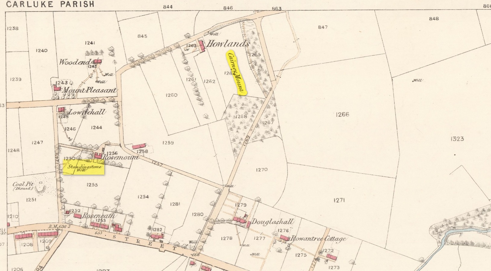
The Well & the field-name on the 1860 OS-map

An ancient standing stone on the eastern side of Carluke isn’t something that most local people are aware of.  Sadly it’s long gone, but we find what seems to be a reference to it, both in the place-name Stanistone Road and the adjacent Standing Stone Well.  The monolith would seem to have stood immediately east of the well, as a description of it by Rev John Wylie (1845) in the New Statistical Account (1845) indicates.  Wylie told us that:

“Till lately, one of those remarkable monuments of antiquity, called standing stones, stood at Cairney Mount; but the hope of finding a hidden treasure induced some rude hand to destroy it.”

Cairney Mount is a field-name 300 metres east of the well, so it would seem highly likely there was an association between them, and the stone obviously stood somewhere between these two points.

References:

  1. Royal Commission on the Ancient & Historical Monuments of Scotland, Lanarkshire: An Inventory of the Prehistoric and Roman Monuments, HMSO: Edinburgh 1978.
  2. Wylie, John, “Parish of Carluke,” in New Statistical Account of Scotland – volume 6: Lanarkshire, William Blackwood: Edinburgh 1845.

© Paul BennettThe Northern Antiquarian

Livister, Whalsay, Shetland Isles

Standing Stone (destroyed):  OS Grid Reference – HU 5577 6237

Archaeology & History

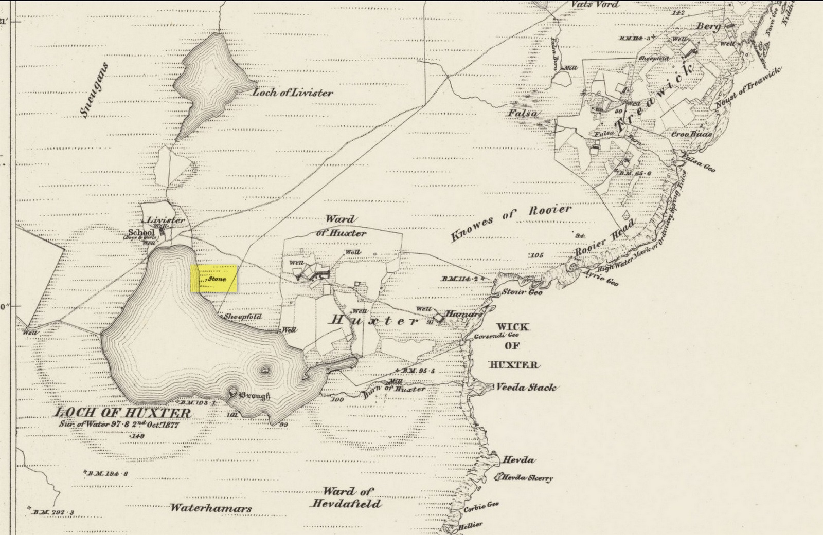
Site shown on 1882 map

Highlighted on both the 1880 (25-inch) and 1882 (6-inch) Ordnance Survey maps, this is another one of our ancient stones that has bitten the dust, so to speak.  Local folk said that it stood about five feet tall, but when the Royal Commission doods visited the place in 1935, it had gone.  They were told that it had been “broken up for building purposes in about 1912.”  No traditions were known of it.

References:

  1. Royal Commission Ancient & Historical Monuments, Scotland, Inventory of the Ancient Monuments of Orkney and Shetland – volume 3, HMSO: Edinburgh 1946.

© Paul BennettThe Northern Antiquarian

Whiteglen, Hoy, Orkney Isles

Standing Stone (destroyed):  OS Grid Reference – HY 2435 0221

Archaeology & History

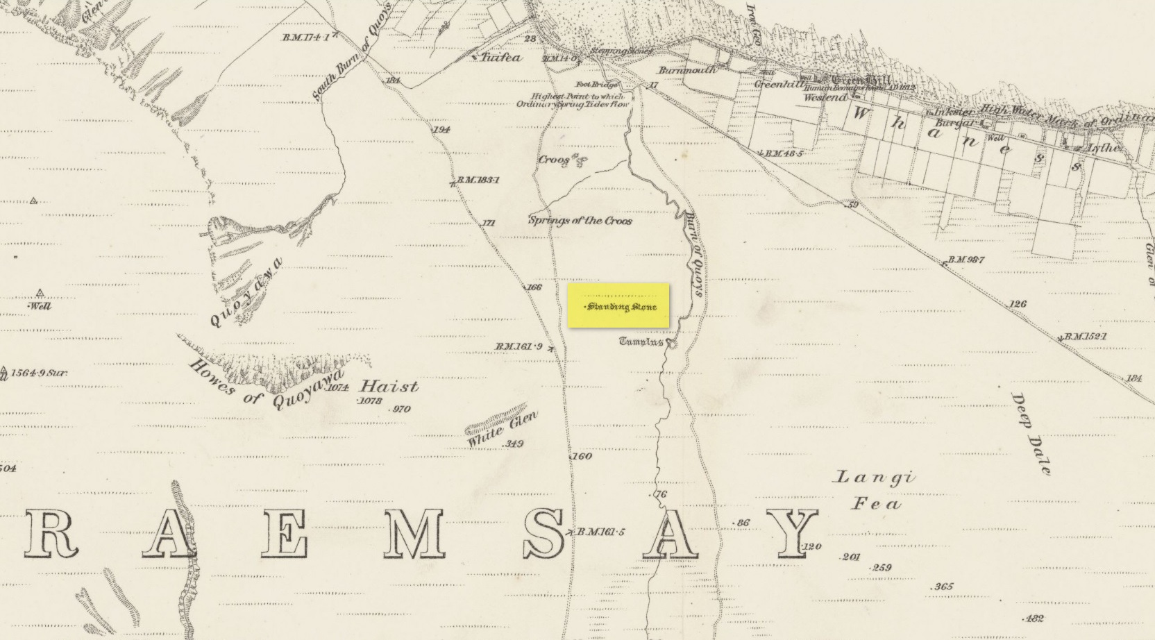
Highlighted on the 1882 Ordnance Survey map of the region (right), it was recorded in the Name Book a couple of years earlier as simply “a small unrecorded standing stone.”  When the Royal Commission (1946) lads visited the site in 1929 they found that “this stone has been removed.” It had stood close to a prehistoric burial mound.  Enquiries with local people about the stone proved unsuccessful.  Does anyone know more about this?

References:

  1. Royal Commission Ancient & Historical Monuments, Scotland, Inventory of the Ancient Monuments of Orkney and Shetland – volume 2, HMSO: Edinburgh 1946.
  2. Royal Commission Ancient & Historical Monuments, Scotland, The Archaeological Sites and Monuments of Hoy and Waas, Edinburgh 1989.

© Paul BennettThe Northern Antiquarian

St. Tredwell’s Loch, Papa Westray, Orkney Isles

Sacred Loch:  OS Grid Reference – HY 495 509

Folklore

I’ve already added a site-profile of the standing stones that used to be close to this loch, and added to it the folklore below; but I realised that for students of water-lore, a separate profile for the loch itself is needed.  For those of you who are not into water-lore, I hope you can forgive this repetition.

The loch, its associated chapel and the standing stones were visited at the end of the 17th century by John Brand, who gave a good account of the rituals performed by local people at the time.  They regarded the waters here as very special indeed, with great medicinal powers.  The loch had sense of sacrality whose nature was intimately tied to the repetition and regeneration of the seasons, valorizing the healing function of the waters.

By the edge of the loch stood St Tredwell’s church, outside of which was a cairn of stones.  When people visited here to be cured of their various ailments, they would pick up one of them and cast it into the loch as an offering (some folk would cast money), so that its waters would heal their illness.  According to Mr Brand and the local minister, such cures were numerous.  The narrative is truly fascinating.  Brand told us that,

“nigh to the east end of which this chapel is, is held by the people as medicinal, whereupon many diseased and infirm persons resort to it, some saying that thereby they have got good; as a certain gentleman’s sister upon the isle, who was not able to go to this loch without help, yet returned without it; as likewise a gentleman in the country who was much distressed wifh sore eyes, went to this loch, and washing there became sound and whole, though he had been at much pains and expense to cure them formerly.  With both which persons he who was minister of the place for many years was well acquainted, and told us that he saw them both before and after the cure.  The present minister of Westra told me that such as are able to walk, use to go so many times about the loch as they think will perfect the cure, before they make any use of the water, and that without speaking to any, for they believe that if they speak this will marr the cure: also he told that on a certain morning not long since he went to this loch and found six so making their circuit, whom with some difficulty he obliging to speak, said to him they came there for their cure.”

For the curing of sore eyes, the loch was specifically resorted to at Easter and during Lent.  Traditions such as these are found at other lochs in Scotland and at lakes in many other parts of the world.

Another interesting feature related to the element of Kingship; for the waters of the loch were said to turn red when anything important was going to happen to a member of the royal family.

St Tredwell herself—also known as St. Triduana—has her saints day on October 8.

References:

  1. Banks, M. MacLeod, British Calendar Customs: Orkney and Shetland, Folk-lore Society: London 1946.
  2. Black, G.F., Examples of Printed Folk-lore Concerning the Orkney and Shetland Islands, Folk-Lore Society: London 1901.
  3. Brand, John, A Brief Description of Orkney, Zetland, Pightland Firth and Caithness, George Mosman: Edinburgh 1701.
  4. Eliade, Mircea, The Sacred and the Profane, Harcourt: New York 1959.
  5. Fergusson, Robert M., Rambling Sketches in the Far North, Simpkin Marshall: London 1883.
  6. MacKinlay, James M., Influence of the Pre-Reformation Church on Scottish Place-Names, William Blackwood: Edinburgh 1904.

© Paul BennettThe Northern Antiquarian