Cup-Marked Stone: OS Grid Reference – NC 66574 61814
Getting Here
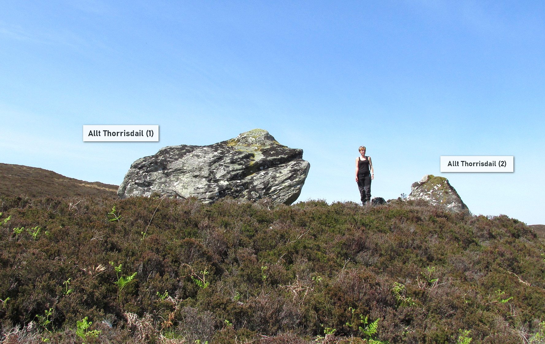
Roughly halfway between Bettyhill and Tongue on the A836 road, keep your eyes peeled for the sign to Skerray (4 miles) and travel down that road. About 1¾ mile on, take the tiny lane on your left up the slope for 0.6 miles (1km), and just before the sharp bend in the road (across a small bridge) there’s a gate on your left. Go thru here and follow the tiny path alongside the burn (stream) westwards for half-a-mile until where the waters become a bog within a wide oval bowl in the landscape. At the far-side you’ll see two large boulders sat above this watery bowl. That’s where you need to be!
Archaeology & History
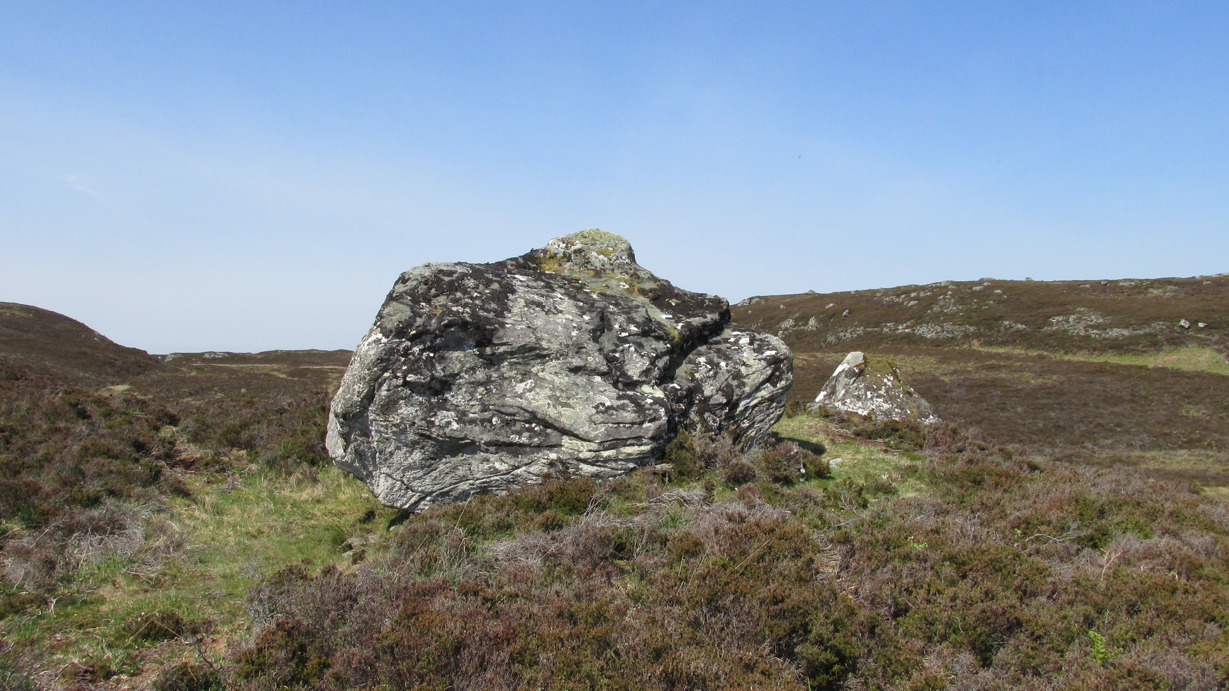
This is carving “number one” of two great incised boulders that are sat upon a natural ridge overlooking a dried-up lochan. An impressive spot that give a thoroughly distinct impression of altar stones above the sunken waters, from whence rites and proclamations were performed. It has that look and feel about it—and any animist would tell you the same. My hardcore dreams aside though…
This profile is for the larger of the two boulders that live here (Allt Thorrisdail 2 is here). It has very curious petroglyphic attributes—much like its compatriot—unlike many of those in these northern lands. The pair of them seem to have been described for the first time in Hew Morrison’s (1883) fine meanderings through the mythic history of the region. He told that,
“About a mile distant (from Torrisdale) two large cup marked boulders lie on the slope of a hill. The marks are disposed in groups of one large and nine smaller cups. On the larger boulder there are two of these groups and seven separate marks.”
There are slightly more than that, and this was pointed out when the Royal Commission (1911) lads came to see it:
“The largest boulder, that situated furthest west, is about 8 feet high and 14 feet in length. On its south side, chiefly on the flat and less abrupt face of the stone, are groups of cup-marks of from 2in to 3in in diameter, the deepest being about 1in in depth, while a number are now almost obliterated. The extent of the markings is not very definite, but there appear to be two groups containing about twelve cup-marks each.”
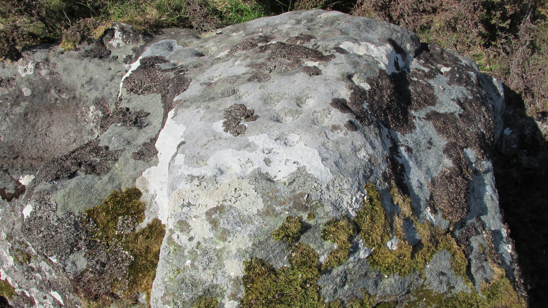
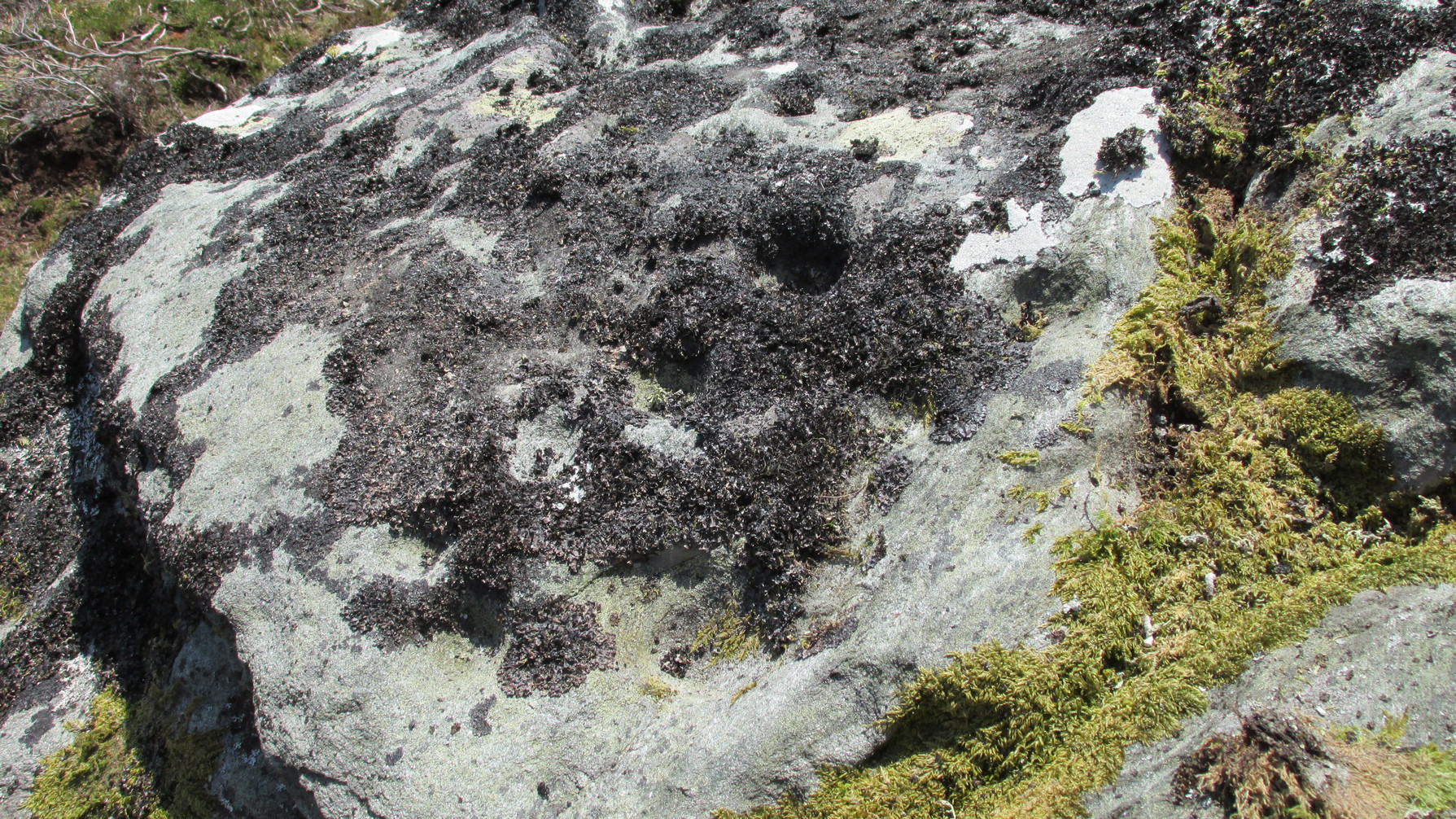
But this only tells of half the stone’s symbolic story. For on the vertical northern face of the rock, from just above ground-level, we have a distinct almost straight line of many cup-marks, going up diagonally, at an angle of about 35º. I took a number of photos of this aspect of the stone, but the covering of lichens didn’t highlight them clearly at all. When you’re stood looking at them they stand out like a sore thumb!
I have to be honest and say that I bloody well love this site! You have to paint the entire environment in the right light, as it was when the stone was first carved, surrounded by the scattered woodland of birch, pines and rowan all across where now we have stunning barren moorlands. Tis a ritual place indeed – without any shadow of doubt!

References:
- Mercer, R.J., Archaeological Field Survey in Northern Scotland 1976-1979, University of Edinburgh 1980.
- Morrison, Hew, A Tourist’s Guide to Sutherland and Caithness, D.H. Edwards: Brechin 1883.
- Royal Commission on Ancient & Historical Monuments, Scotland, Second Report and Inventory of Monuments and Constructions in the County of Sutherland. HMSO: Edinburgh 1911.
Acknowledgements: Huge thanks to Sarah MacLean for her company and landscape knowledge in visiting this and other nearby antiquarian remains. And to Aisha Domleo, for getting me into this neck o’ the woods.
© Paul Bennett, The Northern Antiquarian