Standing Stone (destroyed): OS Grid Reference – NS 855 507
Archaeology & History
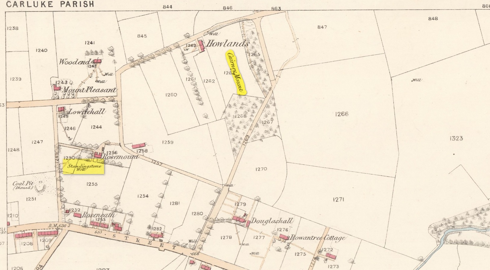
An ancient standing stone on the eastern side of Carluke isn’t something that most local people are aware of. Sadly it’s long gone, but we find what seems to be a reference to it, both in the place-name Stanistone Road and the adjacent Standing Stone Well. The monolith would seem to have stood immediately east of the well, as a description of it by Rev John Wylie (1845) in the New Statistical Account (1845) indicates. Wylie told us that:
“Till lately, one of those remarkable monuments of antiquity, called standing stones, stood at Cairney Mount; but the hope of finding a hidden treasure induced some rude hand to destroy it.”
Cairney Mount is a field-name 300 metres east of the well, so it would seem highly likely there was an association between them, and the stone obviously stood somewhere between these two points.
References:
- Royal Commission on the Ancient & Historical Monuments of Scotland, Lanarkshire: An Inventory of the Prehistoric and Roman Monuments, HMSO: Edinburgh 1978.
- Wylie, John, “Parish of Carluke,” in New Statistical Account of Scotland – volume 6: Lanarkshire, William Blackwood: Edinburgh 1845.
© Paul Bennett, The Northern Antiquarian