Stone Circle: OS Grid Reference – NO 37095 66958
Getting Here
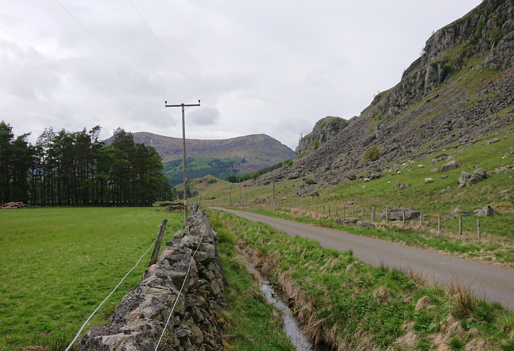
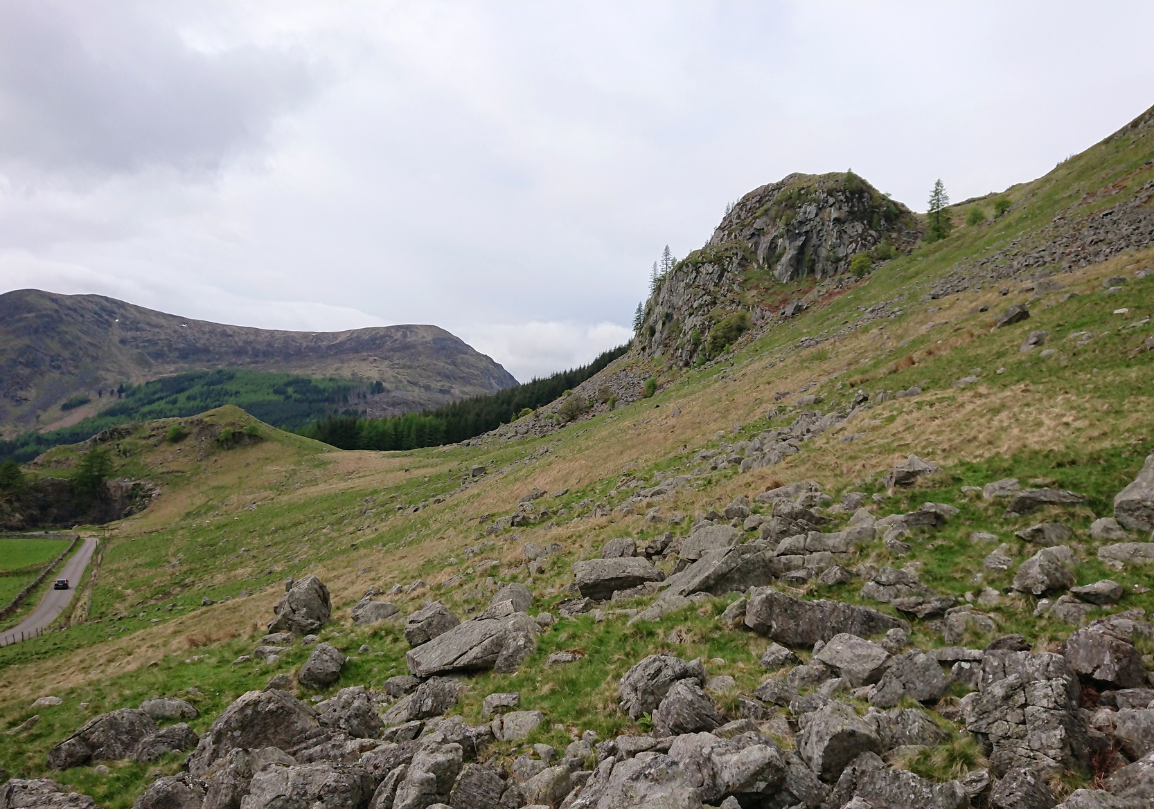
From Kirriemuir town centre up the B956 Kinnordy Road, turn left where it goes along the B955 road for several miles towards Cortachy. Keep going on the B955 for a few more miles into the quiet beauty of Glen Clova. A third-of-a-mile (0.5km) past Glenarm house, the road splits. Take the right-hand road, which goes down and across the river below. Keep on this road for just over a mile (1.8km) and as you approach the large farmhouse of Whitehillock—about 200 yards before it—keep your eyes very well focused in the field on your left and you’ll see a mass of large fallen stones right up against the other side of the fence. You’ve arrived.
Archaeology & History
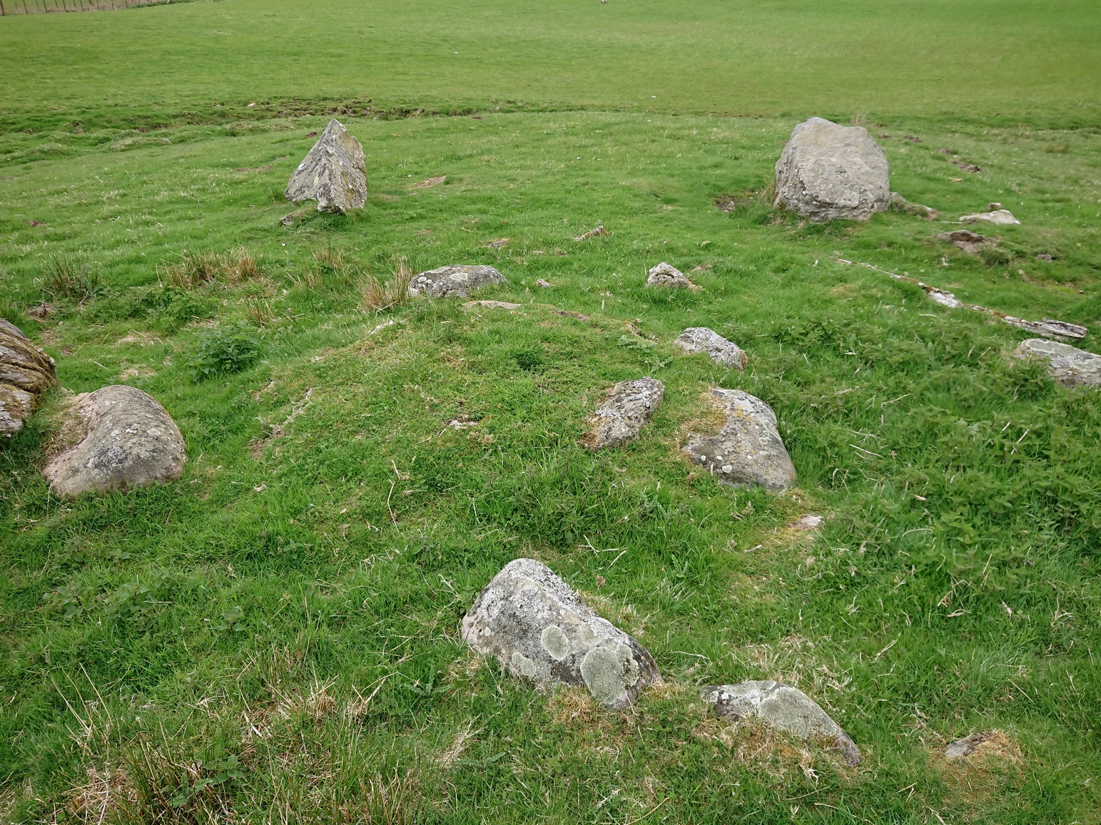
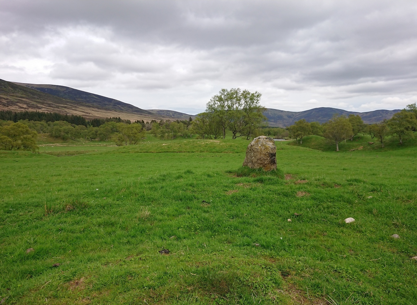
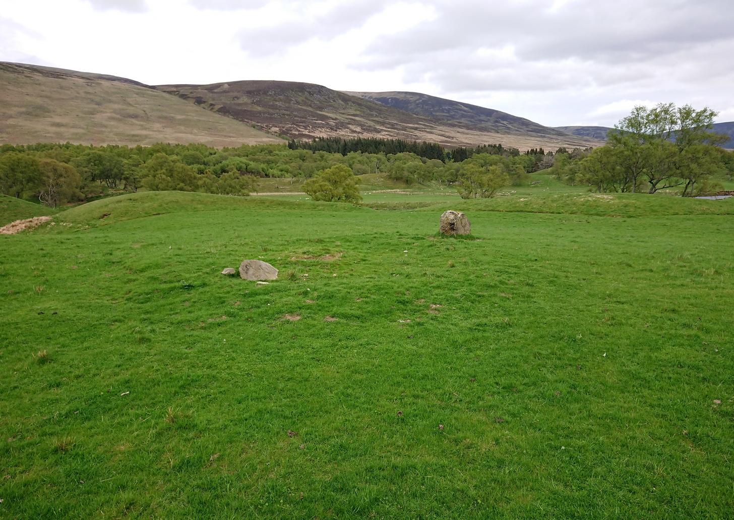
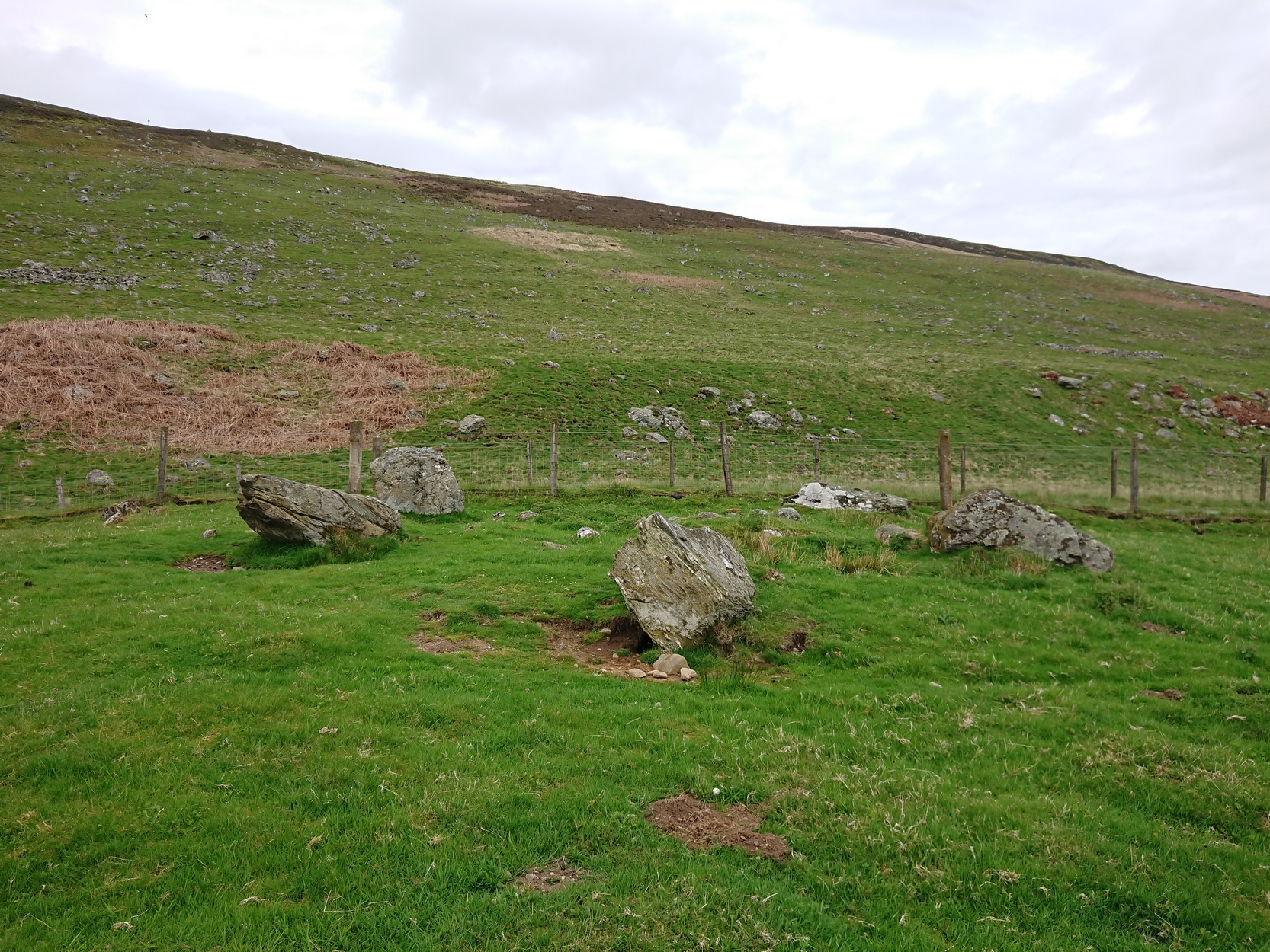
A half-mile north of Clach na Brain, or the Stone of the Raven (a stone that was traditionally used to beat woven cloth after it had been washed), we come across this ruined stone circle, which has seen better days. Not shown on any of the early OS-maps, nor found in the standard megalithic catalogues (Barnatt 1989; Burl 2000), its existence seems to have been logged for the first time by some of the Royal Commission doods in 1999, but of late its veracity as a prehistoric site has been questioned as the local farmer alleged it to have been built by his father sometime in the 20th century. It might have been – but if he did, he made a bloody bad job of it! The site doesn’t have that “new” look about it and, unless someone told you that this was a stone circle, you wouldn’t give it a second look! That aside…
The stones have been placed around the edge of a small rise in the land, within which is a scatter of small and reasonably large stones that give the impression of a cairn at its centre. All but one of the stones (the eastern one) is still standing and measures about 3 feet in height. The rest are either laid down or near to collapse and measure between four and six feet in length. Without an excavation of the site, we cannot be certain of its age, but the official records still have it listed as a stone circle. We await further examination…
References:
- Dorward, David, The Glens of Angus, Pinkfoot Press: Forfar 2001.
© Paul Bennett, The Northern Antiquarian