Turn left in Kirkton of Menmuir towards Bridgend past the giant hillfort and rock art of White Caterthun, cross the Bridge of Lethnot, and continue to the holiday caravan park at Drumcairn, where you can park up. Walk along the farm track on the south side of the caravan park and enter the field through the steel gate, and keep walking along the edge of the field until you come to the spring below the old manse.
Archaeology and History
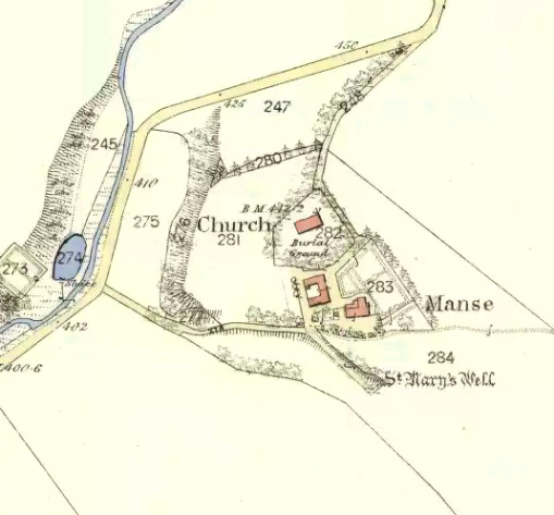
In the Ordnance Survey’s Name Book of 1857, the well is described as:
‘…a spring emitting from the foot of a natural bank. There is no built-up well about it.’
Andrew Jervise (1882) writes in his History and Traditions of the Land of the Lindsays,
“…the Blessed Virgin was patron of Lethnot, and, during the incumbency of the late Mr Symers, several votive offerings, consisting of pieces of silver money, were found in the fountain near the church, which still bears the name of St.Mary’s Well…”
W.J Watson in his classic The Celtic Place Names of Scotland:
“..in Forfarshire is Navar, now Lethnot and Navar (the parish in which the Well stands)..the first part is doubtless nemed…”
Watson defines ‘nemed‘ as a derivative of nemeton – “a sacred place”, or “an institution originally pagan, taken over by the Church.”
C.P. Will, writes of the parish of Lethnot and Navar, in which the well stands:
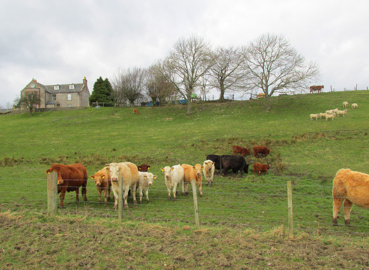
Heifers drinking the holy watersSite on the 1865 map
“..they record the existence here of an early settlement of the Celtic Christian church…Lethnot means Half-churchland, one portion of it, or as we might now say, one of two glebes…while Navar is Churchland-head, the top or extreme part of it, or Glebe-land. The two are complementary as to situation… Ultimately each had its parish church, the buildings being less than a mile apart and in full view one from the other, The “nemet” appearing in both names was a pagan shrine and, as such spots were commonly taken over by the Church on the advent of Christianity, the subsequent Gaelic neimheadh and neimhead came to mean a church site with the lands belonging to the church, latterly accepted as equivalent to glebe.”
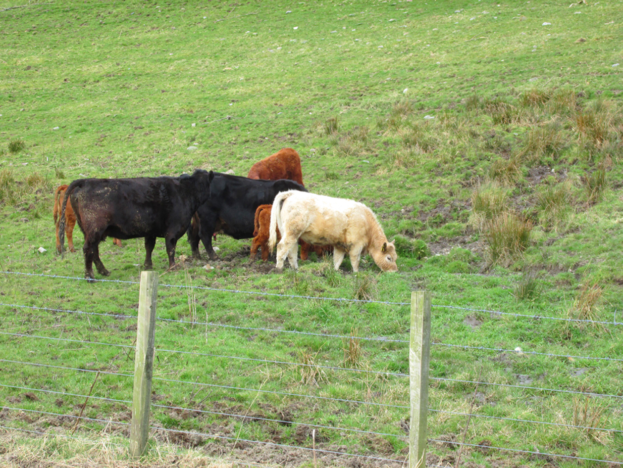
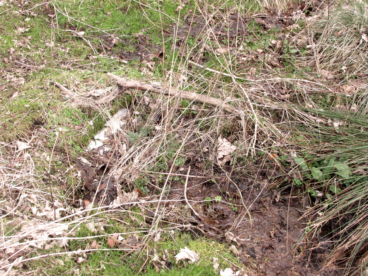
On the day of my field visit, the field in which the spring flows was occupied by skittish cattle who spent their time drinking, so I didn’t get close up to it, but it appears that any housing to the spring has been removed.
Visible to the south are the hillforts of White and Brown Caterthun; and 1¾ miles south east of St Mary’s Well, on the southern slope of the Brown Caterthun is the site of the Hermitage Notre Domine Maria de Kilgery, while its sub chapel and adjoining Lady Well of Chapelton in Menmuir are 2¾ miles away to the south-east, which may suggest a pre-Christian ritual landscape dedicated to one of the Earth goddesses.
References:
Jervise, Andrew, The History and Traditions of the Land of The Lindsays in Angus andMearns, David Douglas: Edinburgh 1882
Jervise, Andrew, “Notices of the Localities of the Sculptured Stone Monuments at St Vigeans, Inchbrayoch, Pitmuies, and Menmuir, in Angus and of Fordoun in the Mearns – part IV,” in Proceedings Society of Antiquaries of Scotland, volume 2, 1855-56.
Watson, William J., The History of the Celtic Place Names of Scotland, Birlinn: Edinburgh 2004.
Will, C.P., Place Names of Northeast Angus, privately printed: Edzell 1963.
Travel north towards Brechin on the B9134, and cross the River South Esk at Stannochy Bridge. Immediately after crossing the bridge, go through the double tubular steel gates to your right, descend the steep slope and walk along the boundary fence dividing the riverside field from the sloping woodland until you reach a tubular steel pedestrian gate. Go through this gate, over the burn and keep walking 150 yards or so to the right and St. Ouret’s Well is seen near the top of the slope.
Archaeology & History
Alexander Penrose Forbes, Bishop of Brechin wrote in 1872 :
“Ouret – Close to Brechin, on the north bank of the Esk, near the Stannochy Bridge, is S.Ouret’s Well.”
The spring flows south into a burn then into the river South Esk
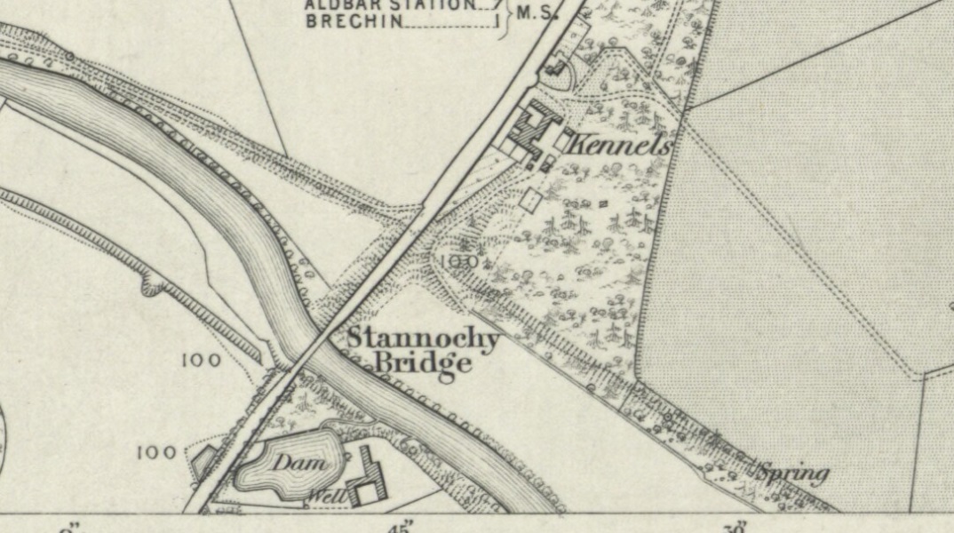
Perusal of the 25″ OS map of 1865 shows an enclosure marked ‘spring’ with a short pathway to the north-east, as the only water feature answering the written description. My field visit just over a century and a half later found a spring issuing at that point from the embankment, with the remains of old rough stone walling on either side of the spring. There was no sign of the pathway. The walling around an otherwise unremarkable spring located away from habitation would imply to me that this is the Saint’s Well.
As the good Bishop mentions the Well as the last entry in the Auctaria of his 1872 book—an afterthought as you will—it seems reasonable that the knowledge of St. Ouret and his well may have been at that time on the point of oblivion. The well is not noted as such by the earlier Ordnance Survey map, nor can I find his name in any other of the hagiographies at my disposal.
Old walling still visible low down
Intriguingly, ‘Ouret’ is a modern Basque surname, and while it is tempting to think of a Basque Holy Man walking the Pictland, the name is more likely a transliteration into Scots from a now lost Pictish or Gaelic name. There is a mysterious ‘Uoret’ named in the inscription (as interpreted by Elisabeth Okasha) ‘DROSTEN : IRE UORET [E]TT FORCUS’ on the Drosten Stone at St Vigeans, who may be our saint, but this Uoret has been interpreted by Thomas Clancy as the Pictish King Uurad, son of Bargoit, who ruled from 839 to 842. I know of no reference as to where Forbes obtained his information on Ouret or his well, but is it reasonable to hypothesise that the information was passed to him orally and what he wrote down as ‘Ouret’ may have been meant to be the very similar sounding ‘Uoret’? Or alternately was King Uurad subjected to local canonisation as St Uoret/Ouret after his death? Can anyone add more?
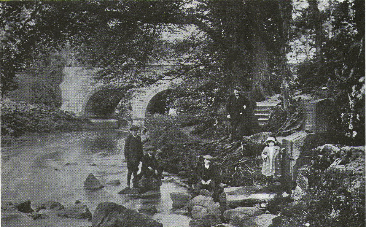
The old Wishing Well or Holy Well of Monifieth, c.1900
This little-known site is thought to be the ‘Well’ that is still marked on modern OS-maps at the grid-reference given here, on the north side of the A92 at Balmossie Bridge, although no names are cited on any of the official maps to confirm this. When Brotchie & Herd (1980) described the old well in their photo-history of the area, they told that it was found “at Balmossie Den,” adding that
“the area is much overgrown now, but the well still exists. It is inscribed, ‘Whosoever drinketh of this water shall thirst again T.E. 1847.’ These initials are of Thomas Erskine of Linlathen who had the stone erected on the supposed site of a medieval holy well.”
Just below here used to be the remains of an ancient chapel, which Tom Erskine thought gave this well holy sanctity. In the late 19th and early 20th century, the site gained repute as a wishing well, where people left offerings for the spirit of the waters in exchange for health and other good deeds. The area of Broughty Ferry and Monifieth was a seat of the Culdees, with ancient trees and land hereby dedicated to St Bridget and Our Lady, although there remain no extant traditions indicating that this site had any direct associations with such mythic figures.
From The Square in Letham village, go north up Auldbar Road and out of the village for 0.6 miles (1km). Shortly before reaching the road junction at the top, on the left-side of the road is a recess with a stone and a small aging plaque telling you that you’ve reached the Girdle Stane.
Archaeology & History
The Girdle Stane
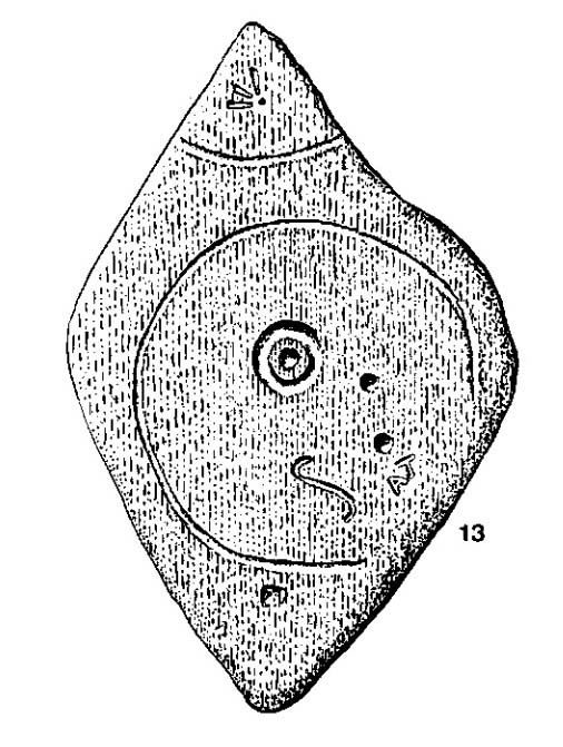
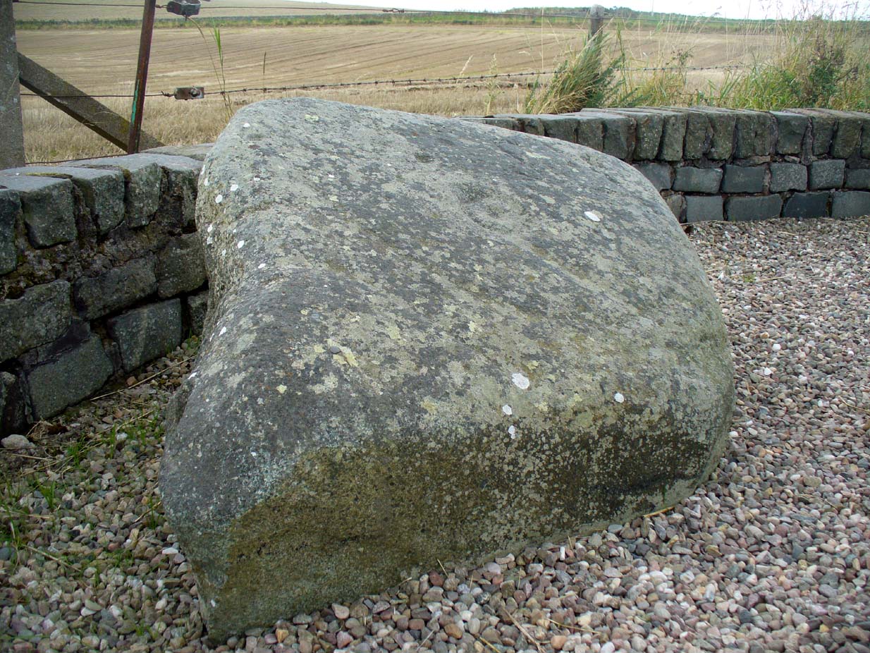
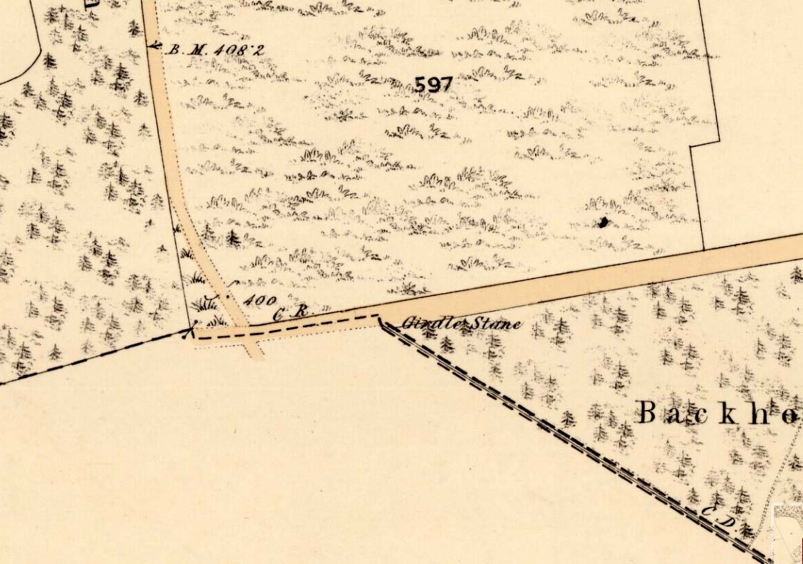
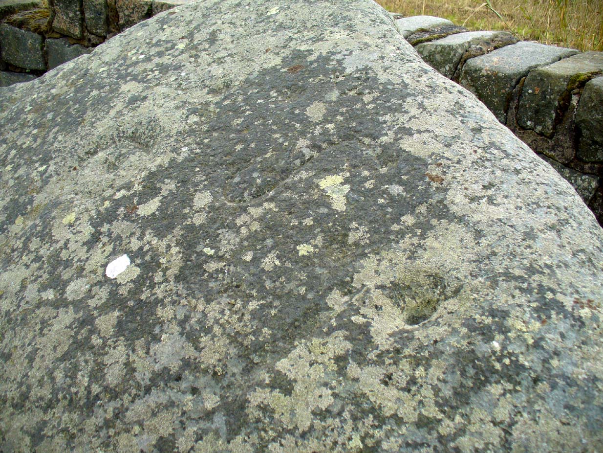
This cup-and-ring stone is not in its original position. Although we know from Ordnance Survey records in the 1860s that it was located about 130 yards north of here, close to the road junction, even that is unlikely to have been its original position—but we know not where that might have been! It is an undoubted multi-period carving, with the earliest section being our typical neolithic or Bronze Age cup-and-ring near the centre of the stone, with several outlying cup-marks toying with our intellect as per usual! The central cup-and-ring may have an incised line running down out of it, although this isn’t highlighted on John Sheriff’s (1995) drawing of the stone.
Girdle Stane on 1865 map
Surrounding the central archetype, by some distance, is a much wider carved ring that almost reaches to defines the edges of the stone itself. This large encircling motif and other features of the petroglyph—including a large elongated “S” and marks that were probably executed by the Ordnance Survey lads at the bottom corner—were ingredients which prompted Sir James Simpson (1867) to question the veracity of the Girdle Stane’s antiquity. He wrote:
“The so-called ‘Girdle-stone’ in the…parish of Rescobie, about four feet long and three broad, is cut on its surface with two circles, the largest of which is above two feet and a half broad, and hence does not, I believe, belong to the class which we are considering in this essay”—
More recent “S”-shaped motif
Close-up of cups, ring and lines
i.e., neolithic or Bronze Age petroglyphs. And you can see his point! My first impression when Prof Paul Hornby and I visited the site a few days ago, after the initial “that’s a cup-and-ring in the middle”, was to proclaim: “that bit’s much more recent, maybe Pictish?” But it probably isn’t even Pictish. This “more recent” carved element is a distinct large elongated “S”, which may have been marked onto it when the stone was used as a township boundary marker between the local parishes. The grand historical writer Alex Warden (1882) talks about this in his magnum opus, saying:
“At the junction of two roads, a little to the northeastward of Letham, there is a rough boulder, about five feet long by three in breadth, having on its face a circle of about thirty inches in diameter, and another smaller circle about six inches across. It is called the Girdle Stane of Dunnichen, from the larger circle resembling the utensil called the girdle, s.c. This stone marks the boundaries between the parishes of Dunnichen and Rescobie, also between the lands of Dunnichen and Ochterlony (Balmadies). It is probably the Grey Stone referred to in a note on the marches of Dunnichen, about 1280.”
Folklore
The folklore of the stone indicates how its origins are rooted in prehistory, despite the later additional symbols. Alex Warden (1882) tells the all-too-familiar creation myth, usually symptomatic of giant prehistoric cairns:
“Tradition says a witch was carrying this boulder from ‘the Crafts’ of Carmylie in her apron, when the strings broke, and the stone fell where it now lies.”
Carmyllie Hill is 5 miles (8km) to the south and is a place rich in fairy-lore and vandalized prehistoric sites.
References:
Coutts, Herbert, Ancient Monuments of Tayside, Dundee Museum 1970.
Kidd, Scott, The Churches of the Parish of Dunnichen, David Winter: Dundee 1995.
Simpson, James, Archaic Sculpturings of Cups, Circles, etc., Upon Stones and Rocks in Scotland, England and other Countries, Edmonston & Douglas: Edinburgh 1867.
2 low lines of stones mark route of possible pilgrim route to Well
Park up at the Menmuir Village Hall, walk west along the road and after crossing the burn, turn north into the field, following the line of fencing until you reach a stile. Cross the stile and continue following the fencing until you reach an east-west fence, whereupon turn right and follow that fence until you reach a gap. Come’s Well is on the other side of the fence, issuing into the East Burn of Balfour.
Archaeology and History
Forbes’ Kalendars of Scottish Saints notes, under the entry for St. Aidan, that the church at Menmuir is dedicated to that Saint, adding “In the immediate vicinity is Come’s Well, no doubt named after St. Colman”.
The Well is at the edge of a pine plantation
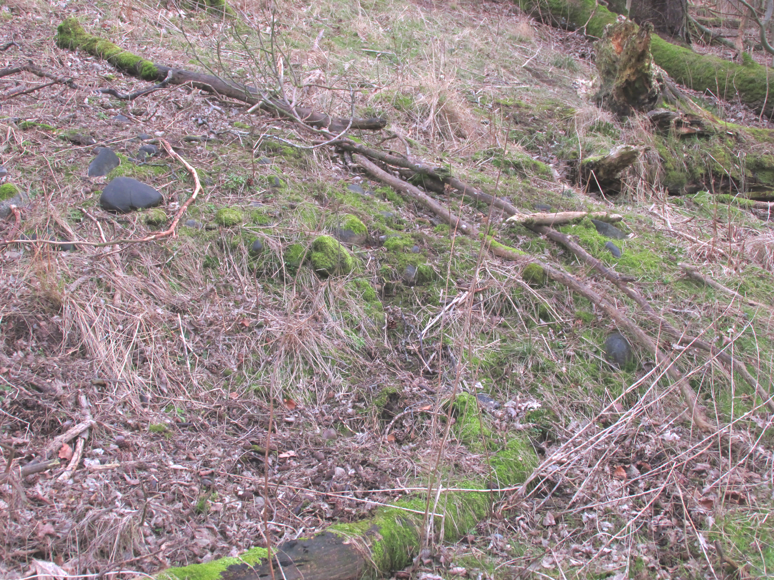
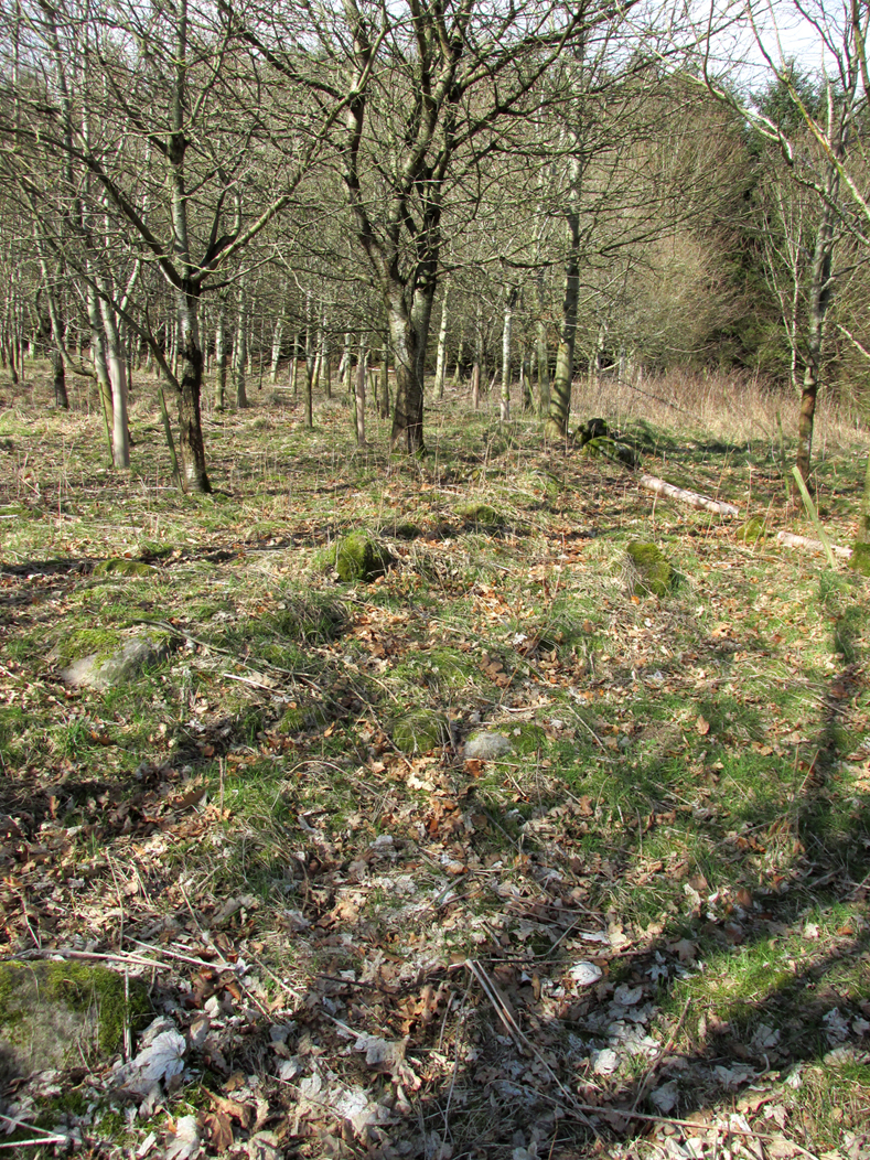
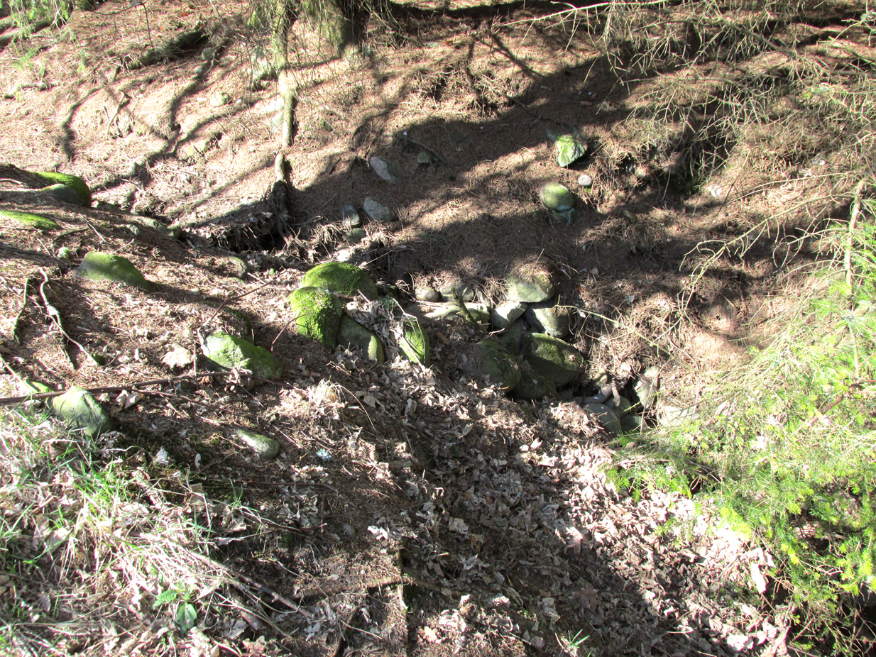
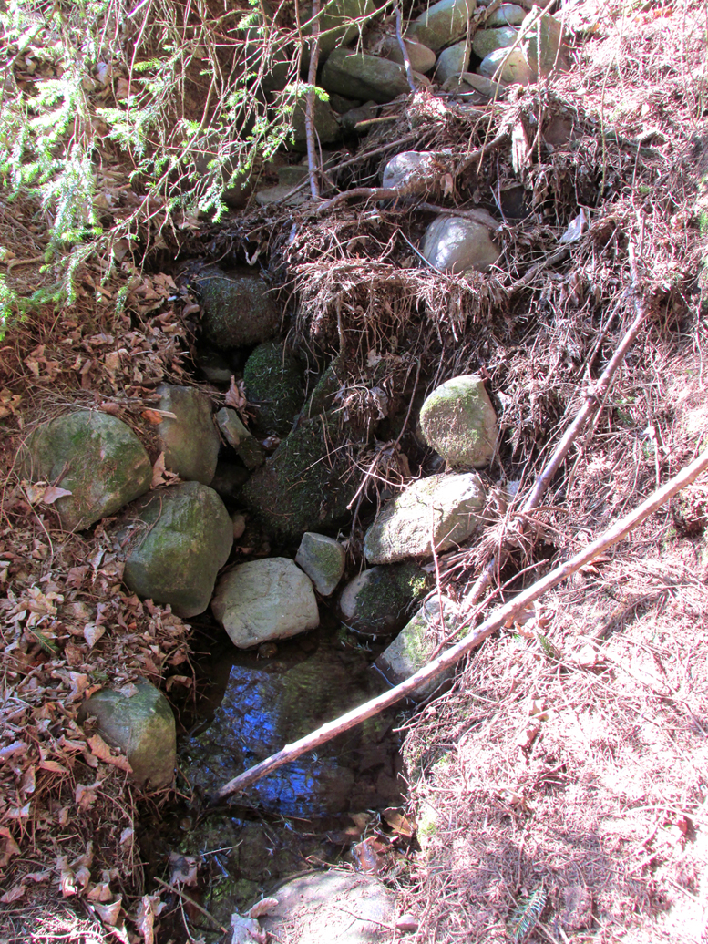
Apart from this one entry I was unable to find any other reference to this well, so recourse was made to the Ordnance Survey map, which shows one well other than St. Iten’s (Aidan’s) Well at Kirkton. At the site of this well marked on the map there is a modern circular concrete housing. But at the time of my winter field visit, I noticed two lines of stones running north of this well housing, parallel to the burn. They led to what had been a stone lined spring that issued into the burn. Unless anyone can show otherwise, I assume this to be the long lost Come’s Well, originally dedicated to St. Colman, with the lines of stones bordering what had once been the pilgrim path to the well.
Collapsed stone walling around the well
St Colman, whose Saint’s Day is accepted in Scotland as the 18th February, was Irish and was for three years Bishop of Lindisfarne, a near successor of St Aidan. Following his refusal to abandon the Celtic Paschal computation at the Synod of Whitby in 664, Colman resigned the episcopate and retired to Iona. At around this time he seems to have been active in Forfarshire, and is reputed to have founded the church at Fearn (near Kirkton in Menmuir), which he dedicated to St Aidan, placing there some of St. Aidan’s relics that he had transported from Lindisfarne. Colman later returned to Ireland and died in 676.
References:
Forbes, Alexander Penrose, Kalendars of Scottish Saints, Edmonston and Douglas, Edinburgh 1872.
Dom Michael Barrett, A Calendar of Scottish Saints, The Abbey Press, Fort Augustus, 1919
Cardinal Patrick Moran, Irish Saints in Great Britain, M.H.Gill and Son & Browne and Nolan, Dublin, 1879
Cross (destroyed): OS Grid Reference – TQ 3077 8093
Also Known as
Stone Cross of the Strand
Archaeology & History
First mentioned in Latin manuscripts from 1274 CE, the best description of this long lost monument, curiously, appears to be in Gover’s Place Names tome. In a slightly edited format he told us the following:
“There was a stone cross “without the bar of the New Temple” traditionally supposed to have been erected by William Rufus “in devotion to the Holy Cross and for the health of the souls of himself and his mother, Queen Maud… It was in the Strand, possibly on the site of the present church of St. Mary. It is referred to as crucem lap’ in 1274; la Crois de Piere in 1293; …Stonecrouch in 1337; crucem fractum in 1342…”
In subsequent notes Gover et al (1942) tell of a man they found in historical records to be Thomas le Barber, “described alternatively as being Thomas le Barber atte Stonecourche” in the Calendar of Rolls records of 1337, and again in the 1339 accounts.
Of the cross itself, information is minimal and scattered. It was destroyed several centuries ago but is mentioned in a number of old books on the history of the city. The historian Thomas Allen (1829), for example, told that
“opposite to Chester Inn stood an ancient cross. On this cross in the year 1294, the judges sat to administer justice, without the City.”
It was also a site where legal pleas for the county of Middlesex were to be held, at “the Stone Cross of lad Straund” as it was then known. Due to the early administrative function delivered from this cross, it strongly implies the place to have been a moot site prior to the erection of the cross, probably dating from the period in which tribal elders met here.
A Mr Newton tells in his London in the Olden Time that the top of the cross was damaged and knocked off by the crazy christians around the time of the Reformation and that for many years stood headless. When Vallance (1920) came to describe it, he told merely that,
“the Strand Cross, near Covent Garden. This cross was hexagonal on plan, and comprised four stages. It was standing in 1547, but was ultimately removed, its site being occupied by the Maypole, which was spoken of in 1700 as new.”
The Strand Cross would have been on the ancient ley (not one of those ‘energy lines’ invented by New Age fantasists) described first of all by Alfred Watkins (1925)—running from St. Martins-in-the-Field to St. Dunstan’s in Fleet Street—but he seems to have been unaware that the monolith ever existed. The alignment was subsequently described in more detail in Devereux & Thomson’s (1979) work on the same subject, but its existence seems to have evaded them too! Chris Street (2010) did include it in his much more detailed walk down the same ley. A maypole was also known to exist close to the site of the cross; with one account showing that the two monuments existed at the same time in 1543.
As the site seemed to have been an early moot spot, the Strand Cross may have been an omphalos in early popular culture (before the christians of course), or at the very least, a site of popular animistic tradition.
Cross (destroyed): OS Grid Reference – TQ 3180 8181
Archaeology & History
Site of Cow Cross on 1896 map
Not far from the long lost Fag Well could once be seen this old stone monument. Although not illustrated on the first Ordnance Survey maps of the inner city, it is highlighted on the 1896 edition (as shown here), just where Cow Cross Street meets Charterhouse Street—right by the boundary line—and is marked as ‘Site of Cow Cross’.
The cross gained its named from the cattle market that was held here from very early times, on the boundary of the lands of the Knights Hospitallers in the 12th century. Cattle itself–both horses and cows—were actually slaughtered at the market by the cross: a practice that has thankfully stopped (in public at least). Despite the place-name being referenced in many early accounts, actual descriptions of the cross are few and far between due to it being destroyed at quite an early date. When John Stow came to write his history of London in 1603, he told that it was no longer standing. Whether the cross replaced an earlier standing stone, we simply do not know…
References:
Gover, J.E.B., Mawer, Allen & Stenton, F.M., The Place-Names of Middlesex, Cambridge University Press 1942.
In truly that most unholy of places in England—Westminster, London—there was, in bygone times, a slightly more sacred site which, earlier still, might have been where a standing stone stood…. Might…. But such days are long gone down there. A gathering place of local people in very early times, the Broken Cross was, according to Vallance (1920),
“erected by the Earl of Gloucester in the reign of Henry III (1216-1272), but it did not stand very long. Its site is said to have been ‘the place of the meeting of the Folkmote…near St. Martin’s-le-Grand, about midway between the Northgate of the precinct (of St. Paul’s) and the church of St. Vedast.’ On 5th September 1379, agreements were drawn up for letting the stations about the Broken Cross to five divers persons. The cross was bodily taken down in 1390.”
Yet its name was maintained in street-names for many years later, simply as ‘Broken Cross’. Its position would have been very close to Cheapside.
George Gomme (1880) pointed out that such early folk moots were the development of tribal gatherings grafted from megalithic meetings onto early christian assemblies, pointing out how such assemblies for laws and councils were made at nearby St. Paul’s as early as 973 AD.
To find the Pilgrim Spring, the probable site see below, take the road to Blue Bell Hill out of Aylesford and after passing a footpath sign and red house, you will soon come across a farm road. (not signposted with a white gate). Drive or walk up here and the spring heads will be obvious, one beside the drive, one below the derelict farm buildings and a large one above them further along the footpath. An alternative route is via the Coffin Stone off the Burham road past Kits Coty.
Archaeology & History
The location of the Haly Wellof Haley Garden, has caused a fair amount of confusion from Kent historians being some discussion has occurred regarding its exact location, although Hale Farm may have taken its name from it. Harris (1719) in his work on Kent Topography notes that a well, that had many virtues, in particular cleansing sin:
“Under Boreham (Burham, Burgham) formerly there was a fountain in this Parish (South Philipot) at a place called Haly or Holy Garden, which was accounted mighty sacred by common people, and had very uncommon virtues ascribed to it, and in the 17th year of King Richard II, The Friars Carmelites of Aylesford obtained a grant by letters Pateill to bring the water from to their monastery.”
Hunter (1811) refers to the friars building an aqueduct from the site. Finch (1925) believes that the well lay eleven hundred yards due west of the Kewland Wheel Well house. Although, he also states that other authorities believed that this wheel well itself was the site. This belief was discredited, however, when its well shaft was explored: no chambers or tunnels were found to lead off of from it. Sadly, there is no evidence of Great Kewland house, although some house debris down a nearby wooded quarry can be located, although being tightly fenced in, one is unable to find any remains of a well or local knowledge.
Folklore
The possible location for the spring is Pilgrim’s Spring, (TQ 731 614) in the old community of Tottington. Finch (1925) in his a Tramp in Kentish Pilgrim Land describes a pool surrounded by sarsens believed to be of ancient origin:
“Spread around this beautiful spring head in plenteous disorder is a large number of huge stones, some thrown into the bed of the stream, others supporting its margins. Some half buried and peep through the ground. With Cromlech and altar thrown down and heaped around the spring, it is left to our imagination to picture this site of ancient water worship in the dim and distant past. The stone circle appears to have completely encircled the principal spring; hence there are reasonable grounds for concluding that too was devoted to water worship.”
Of course, the description is perhaps tainted by the ‘Druid’ obsession of Victorian antiquarians, so perhaps the stones are natural, although close to recognised ancient monuments. This spring would appear to be a likely watering hole for those visiting the nearby lost shrine of St. Stephen and maybe Halygarden Springs as the stream does travel towards Aylesford. Finch (1925) notes that five springs fed the moat that surrounded the ancient manor, and were according to Dr. Thorpe (1788) quoted by Finch, of petrifying quality so that sticks become encrusted in it. Today one can still trace both the manor and moat despite its dereliction. The springs still exist too, but the number of sarsens associated with them appears to have been reduced, and one would suggest that a number have been dragged from their position and placed on the Coffin Stone.
Another possible site is a Roman or Ancient Draw Well, (TQ 741 809) According to Finch (1925), there is a legend connecting the well with another that of Kewland by a secret tunnel. Finch (1925) notes that there is:
“…an elm tree and some stones of various sizes, beneath which is a well only some two feet in diameter, but tested to be 113 feet deep. This doubtlessly was sunk for a water supply for the Roman occupants hereabouts.”
Finch (1925) expected that this well was a local myth but was fortunate to find a sixty year old man, who as a boy, used to drop flints down it. He notes that:
“The elm tree is bowed over with age and its sinuous roots have all but closed the entrance to the well, leaving but a tiny aperture through which one could see the rough coping stones. With a little dexterity, one could drop a stone, time its fall, and hear the thus as it fell upon the accumulated debris on the bottom no casual visitor could find the well, even though accurately marked upon a plan, without a guide.”
Certainly, it is unmarked on the present maps, and attempting to uncover its location I was hindered by considerable ivy cover and rubbish. I did locate a large amount of brick and stone debris at one site and possibly remains of a dead elm, but conclusively.
(taken from the forthcoming Holy Wells and Healing Springs of Kent)
The Black Prince’s Well is found to the right of a path that curves around past the Leper Hospital / almshouses, and through the forecourt of a house.
Archaeology & History
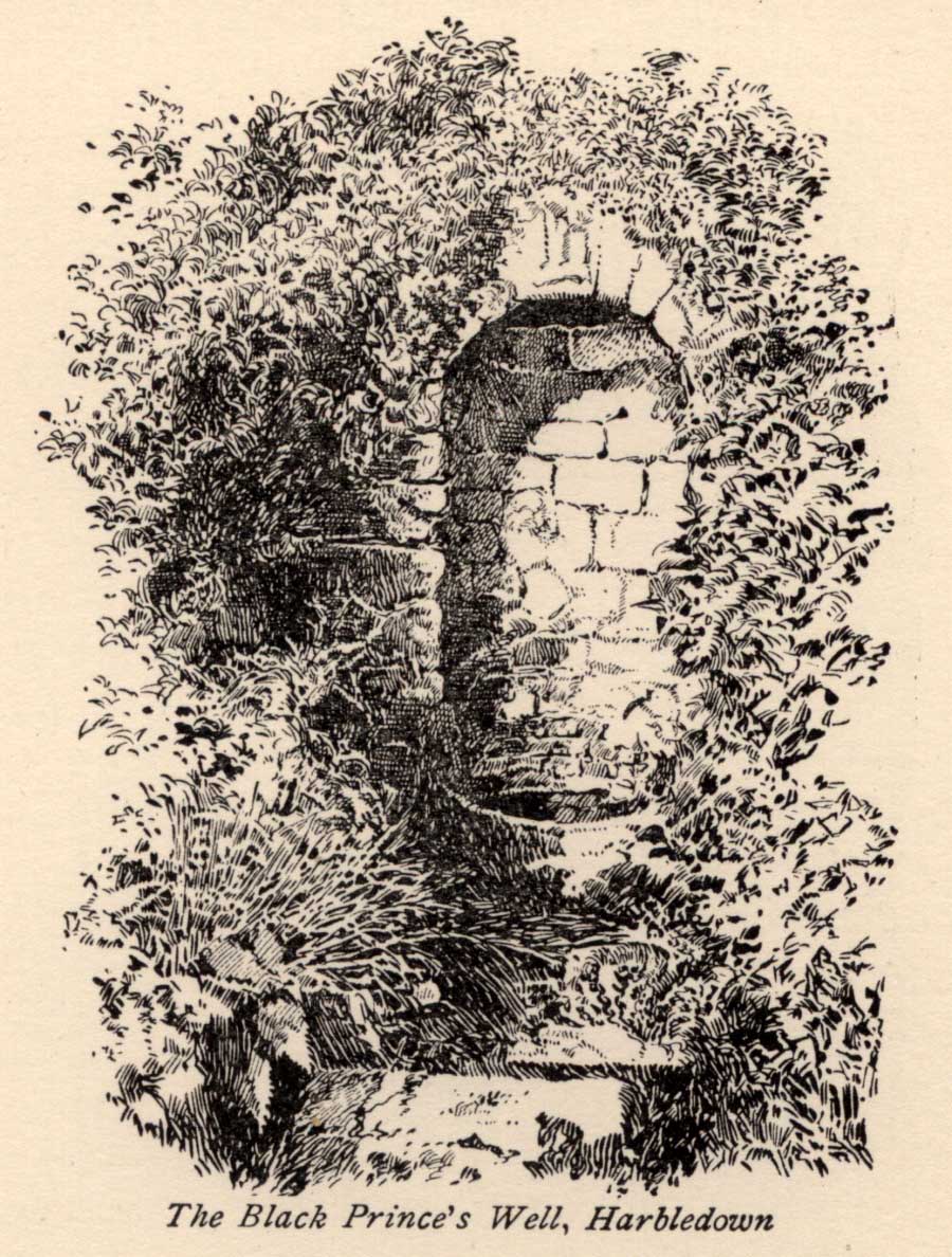
Black Princes Well
Behind the old leper hospital, and to the west of the Church, is the Black Prince’s Well, a holy well of some renown and interest. For Canterbury pilgrims, the well was a significant watering hole before they made the last steps to that great Shrine of St. Thomas. According to Watt (1917) this was the seventh St. Thomas’s Watering at Harbledown. It still bears the alternative name of St. Thomas’s Well, a dedication unlike other sites would seem to be related to be a direct relationship, for it is recorded that he drunk from the well, accidentally leaving a shoe. Understandably, after the martyrdom, this became an important relic, and was held by the Hospital.
The spring emerges at the foot of the hill, enclosed in a six foot high semicircular domed well head made from rag stone. Most interesting a carved stone, in its central apse, depicts the Black Prince’s coat of arms, three feathers taken from the King of Bohemia at Crecy. This stone appears to havebeen possibly derived from another structure rather than being carved especially for the well head, as do the fluted stones shown in earlier photos (cf Goodsall (1968) in his Kentish Patchwork), which are now apparently missing. Either side of the well head are two courses of rag stone walling. The well is reached by a series of stone steps between two courses of stone walling. The water emerges, as a small trickle, through a five inch diameter red clay pipe, flowing to fill a circular basin.
Folklore
The well was noted as being able to cure leprous ailments, and presumably this is why the leper hospital was built in 1084 by Archbishop Lanfranc to exploit its properties. Among its many early pilgrims looking for a cure for this complaint was Edward the Black Prince, who patronised the well twice: the first on his last journey to Canterbury, when he was cured, and then finally, on his death bed in 1376. Unfortunately in this latter case the waters were obviously of no use, being unable to rid him of his syphilis, of which he died. The well subsequently named after the knight. For those unable to drink straight from the well, water was often administered to those living far from it. Evidence for this being the discovery of a leather pouch found near the well. Indeed, even the early part of this century the water was still used, especially by those from afar, for Snowdon Ward (1904) remarks that:
“the water is still in some repute for its curative powers. The sub-prior of the hospital told us that he still occasionally receives small remittances from various parts of the continent…”
Cartwright (1911) illustrates that its local reputation was still current before the Great War. He records that it was:
‘still believed by Country folks to be of great benefit to the eyes.’
Certainly the well is one of the most interesting and enchanting of Kent wells.
(taken from the forthcoming Holy Wells and Healing Springs of Kent)