Turn left in Kirkton of Menmuir towards Bridgend past the giant hillfort and rock art of White Caterthun, cross the Bridge of Lethnot, and continue to the holiday caravan park at Drumcairn, where you can park up. Walk along the farm track on the south side of the caravan park and enter the field through the steel gate, and keep walking along the edge of the field until you come to the spring below the old manse.
Archaeology and History
In the Ordnance Survey’s Name Book of 1857, the well is described as:
‘…a spring emitting from the foot of a natural bank. There is no built-up well about it.’
Andrew Jervise (1882) writes in his History and Traditions of the Land of the Lindsays,
“…the Blessed Virgin was patron of Lethnot, and, during the incumbency of the late Mr Symers, several votive offerings, consisting of pieces of silver money, were found in the fountain near the church, which still bears the name of St.Mary’s Well…”
W.J Watson in his classic The Celtic Place Names of Scotland:
“..in Forfarshire is Navar, now Lethnot and Navar (the parish in which the Well stands)..the first part is doubtless nemed…”
Watson defines ‘nemed‘ as a derivative of nemeton – “a sacred place”, or “an institution originally pagan, taken over by the Church.”
C.P. Will, writes of the parish of Lethnot and Navar, in which the well stands:
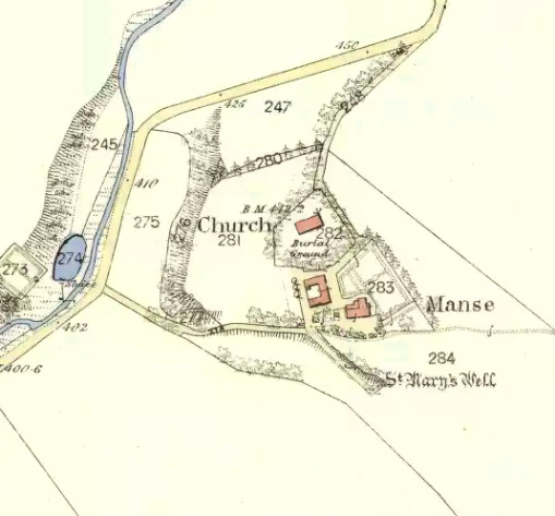
Heifers drinking the holy watersSite on the 1865 map
“..they record the existence here of an early settlement of the Celtic Christian church…Lethnot means Half-churchland, one portion of it, or as we might now say, one of two glebes…while Navar is Churchland-head, the top or extreme part of it, or Glebe-land. The two are complementary as to situation… Ultimately each had its parish church, the buildings being less than a mile apart and in full view one from the other, The “nemet” appearing in both names was a pagan shrine and, as such spots were commonly taken over by the Church on the advent of Christianity, the subsequent Gaelic neimheadh and neimhead came to mean a church site with the lands belonging to the church, latterly accepted as equivalent to glebe.”
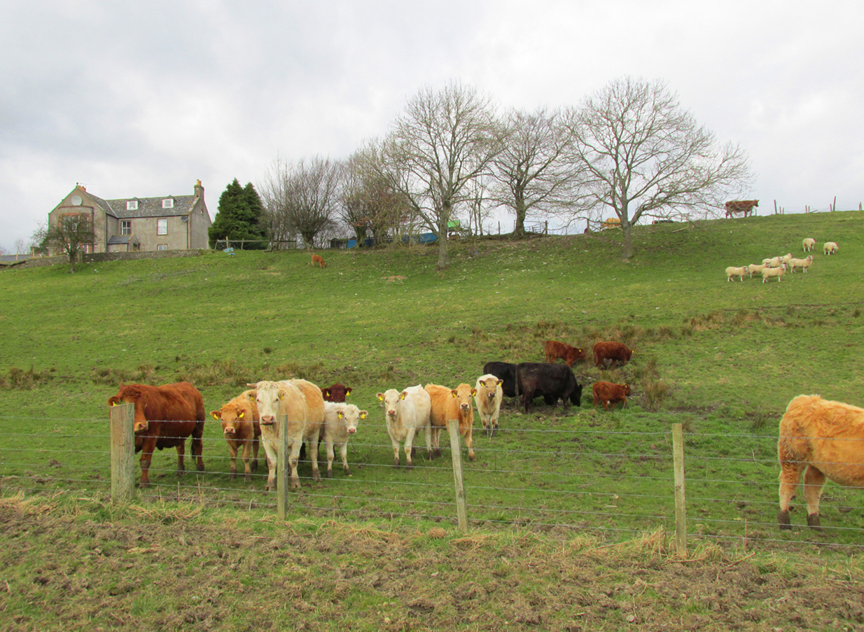
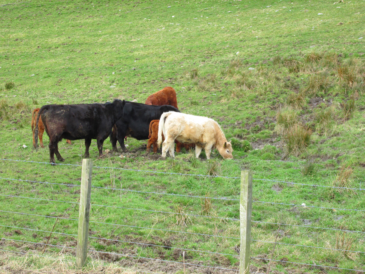
On the day of my field visit, the field in which the spring flows was occupied by skittish cattle who spent their time drinking, so I didn’t get close up to it, but it appears that any housing to the spring has been removed.
Visible to the south are the hillforts of White and Brown Caterthun; and 1¾ miles south east of St Mary’s Well, on the southern slope of the Brown Caterthun is the site of the Hermitage Notre Domine Maria de Kilgery, while its sub chapel and adjoining Lady Well of Chapelton in Menmuir are 2¾ miles away to the south-east, which may suggest a pre-Christian ritual landscape dedicated to one of the Earth goddesses.
References:
Jervise, Andrew, The History and Traditions of the Land of The Lindsays in Angus andMearns, David Douglas: Edinburgh 1882
Jervise, Andrew, “Notices of the Localities of the Sculptured Stone Monuments at St Vigeans, Inchbrayoch, Pitmuies, and Menmuir, in Angus and of Fordoun in the Mearns – part IV,” in Proceedings Society of Antiquaries of Scotland, volume 2, 1855-56.
Watson, William J., The History of the Celtic Place Names of Scotland, Birlinn: Edinburgh 2004.
Will, C.P., Place Names of Northeast Angus, privately printed: Edzell 1963.