Chambered Cairn: OS Grid Reference – NC 7398 5899
Also Known as:
- Canmore ID 6228
- Clachan Burn
Getting Here
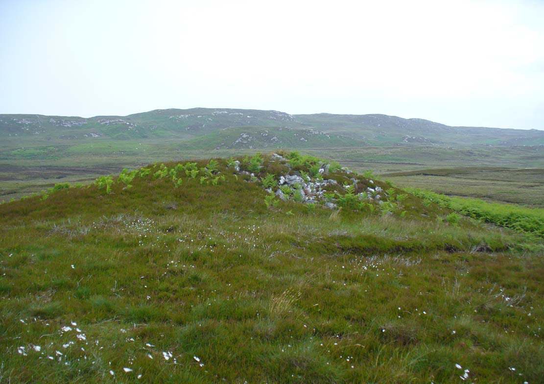
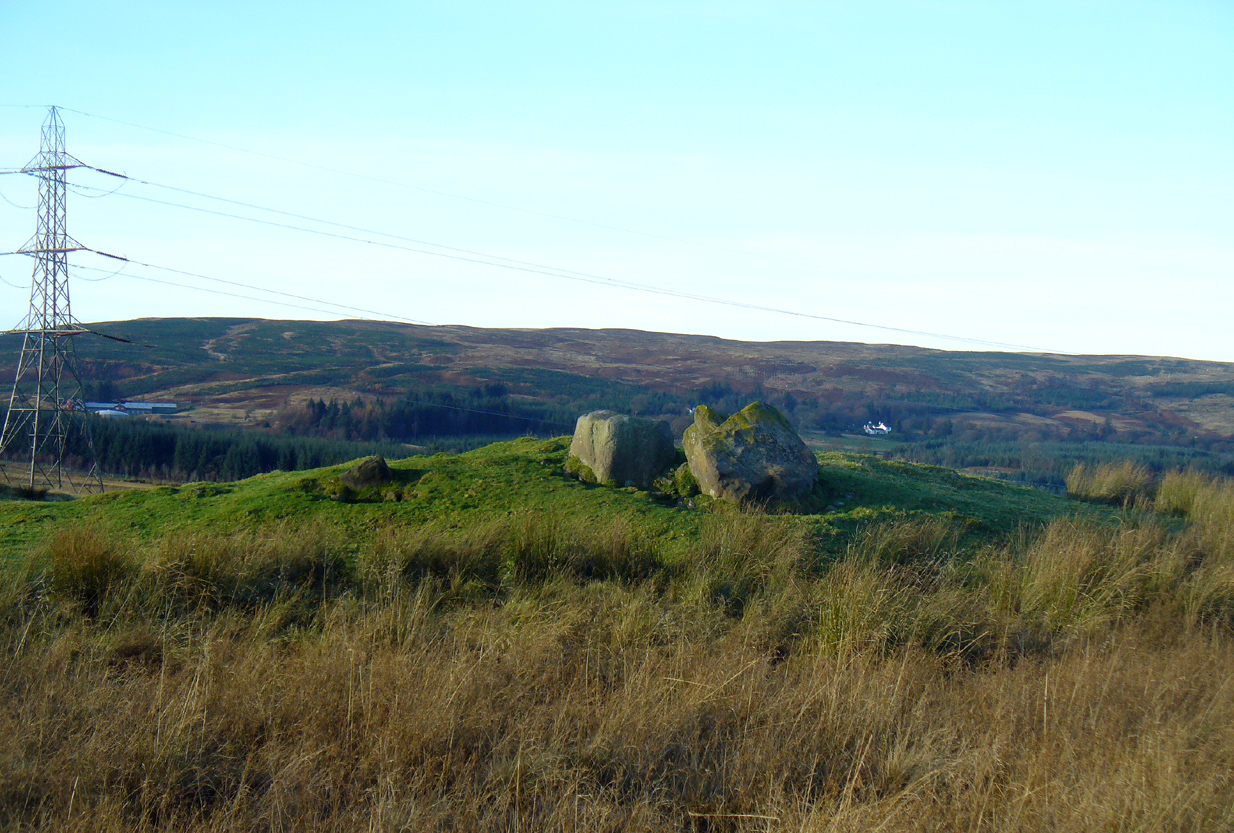
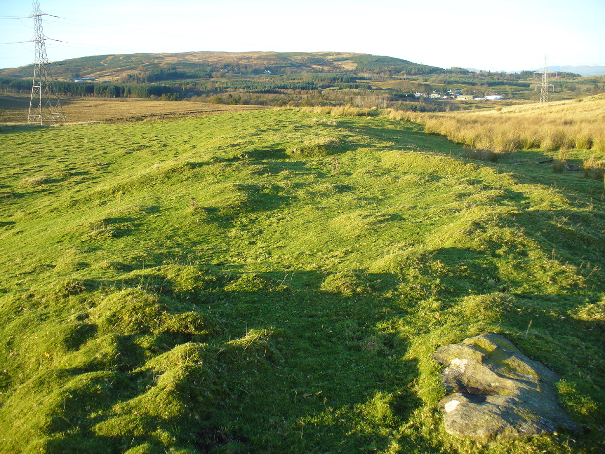
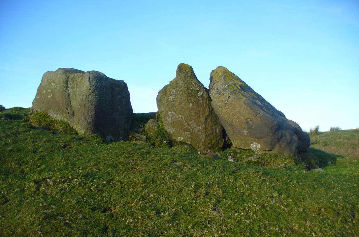
Achadh Thaibstil cairn, looking W
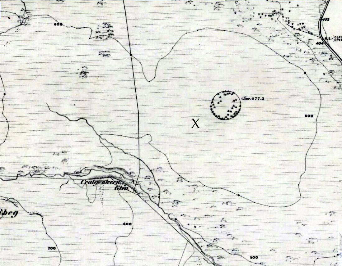
Along the A836 road a mile east of Bettyhill, a track goes south onto the moors just before Loch Salachaidh. Walk along here for several miles, past the windmills, past a small quarry on your left, and a hundred yards or so along, to the right of the track, you’ll notice a rounded hillock covered in stones and rock on the top (aswell as bracken in the summer and autumn). That’s the spot!
Archaeology & History
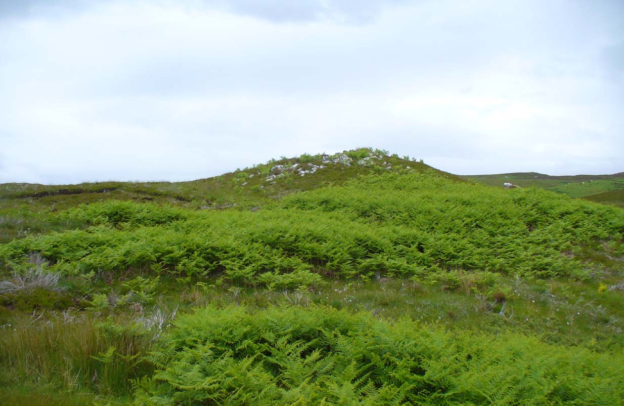
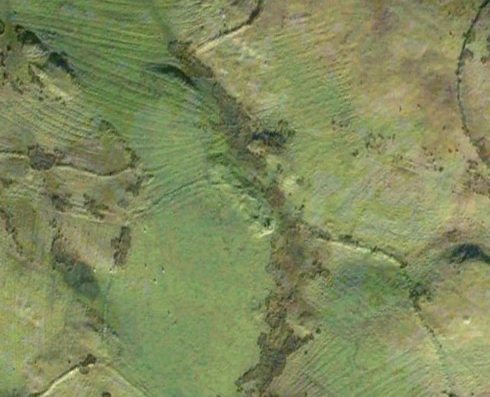
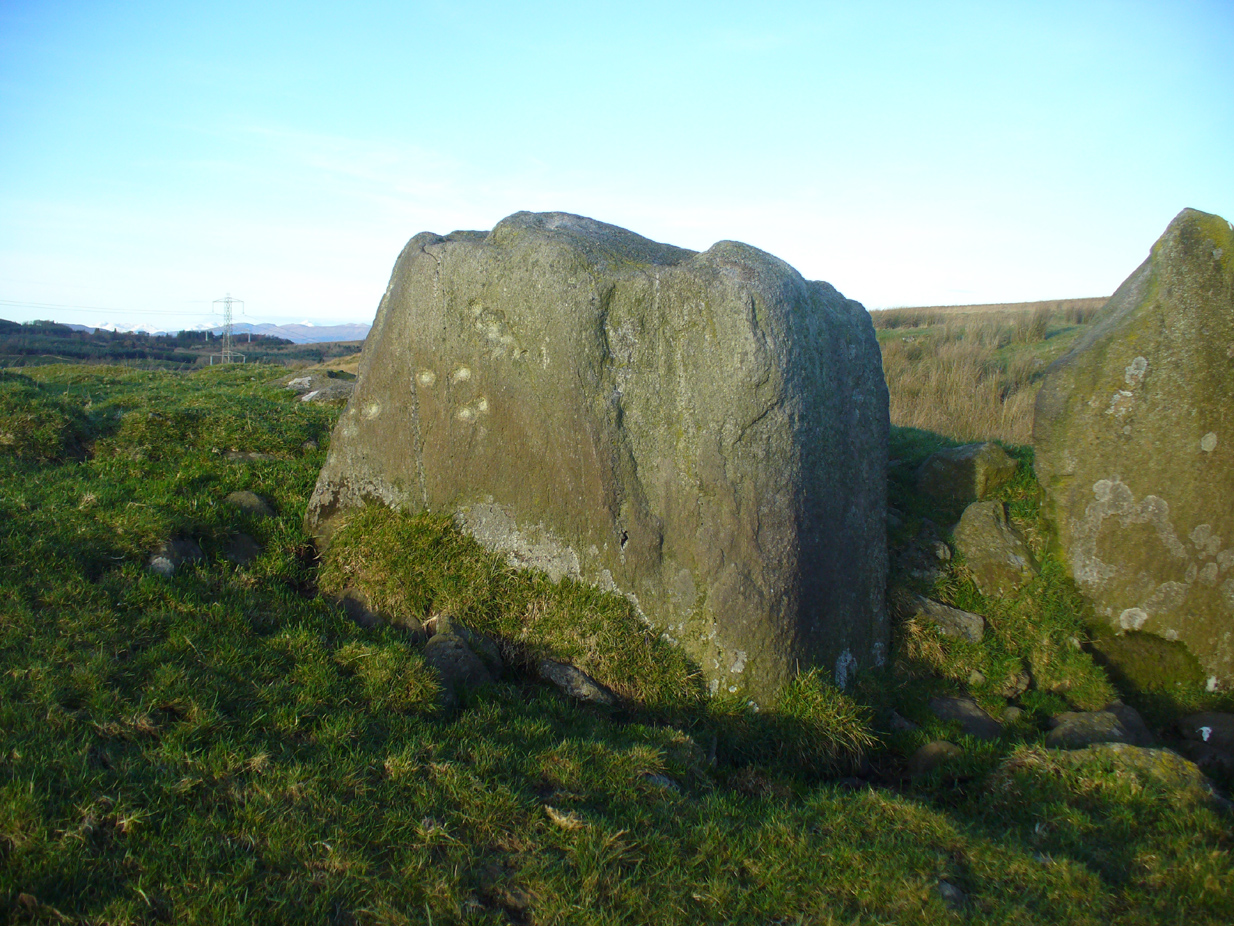
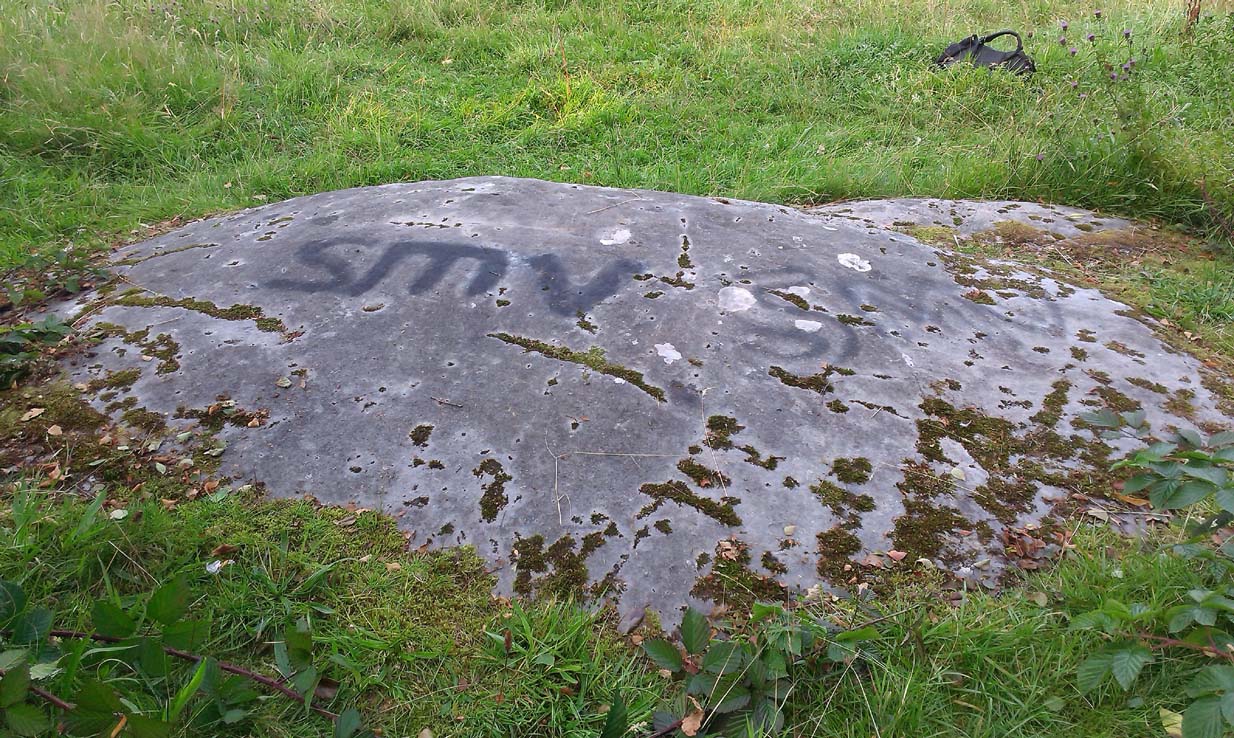
Achadh Thaibstil cairn
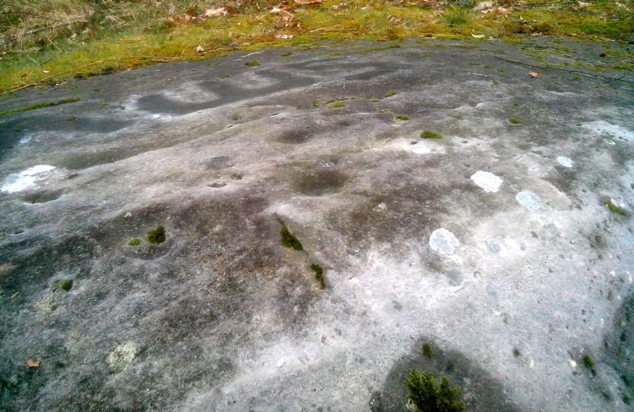
This little-known cairn, close to the prehistoric hut circles on the other side of the track, is a medium-sized Neolithic or Bronze Age monument. Not included in Audrey Henshall’s (1995) survey of the region, the tomb was built upon a small natural rise with the usual thousands of small and medium-sized stones rising up 4-5 feet high. Near its crown we find an exposed chamber, typical of chambered tombs, measuring more than a yard across and two yards long, with flat slabs defining its sides. It appears that the inner ‘chamber’ may have been split into two sections, as an oblong slab of stone runs parallel down the central ‘chamber’ a third of the way across. The Canmore account simply tells how the cairn is on low knoll and
“measures about 10.5m in diameter and 1.0m high. It has been opened and a centrally placed slab lined cist revealed, the southern side of which is missing. The cist measures 1.4m east-west, with the east and west slabs 1.2m long and 0.6m high.”
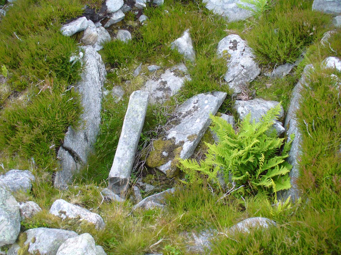
Looking down into the chamber
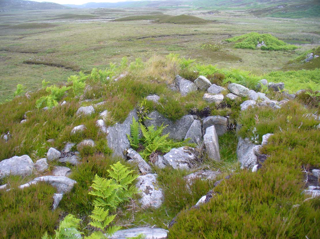
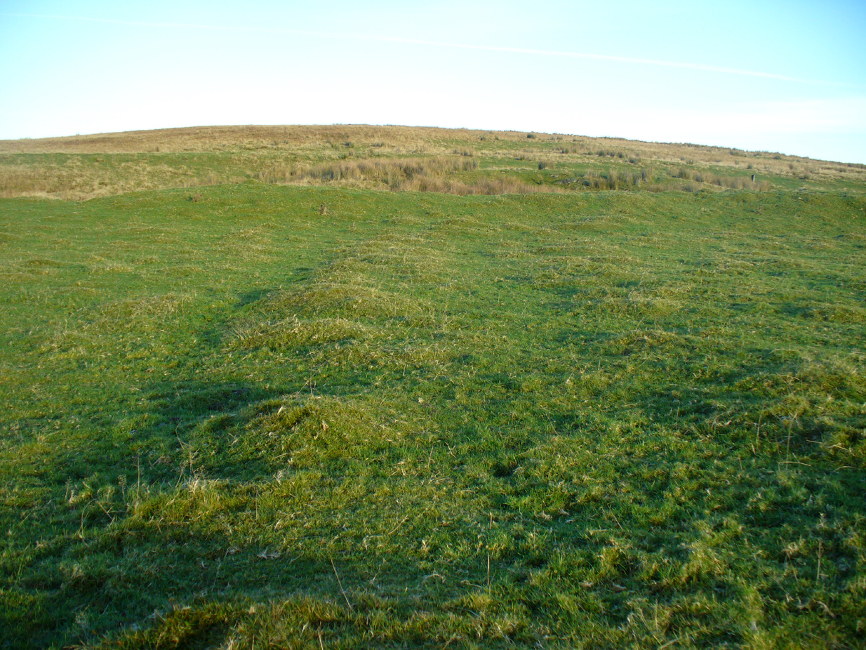
From the chamber, looking N
On the horizon to the far north, the peak of the giant tomb known as Fiscary 2 rises up, indicating the cardinal direction. This may have had geomantic significance, as ‘north’ signifies Death and darkness: the symbolic point where light never emerges; the point linked to the North Star, Alpha Draconis in the neolithic era, or Polaris in our present Age: the point to and from which shamans travel into the Land of the Gods. These elements may or may not have been relevant here.
References:
- Henshall, Audrey S. & Ritchie, J.N.G., The Chambered Cairns of Sutherland, Edinburgh University Press 2005.
© Paul Bennett, The Northern Antiquarian