Stone Circle (remains of): OS Grid Reference – NO 3848 5625
Also Known as:
- Caldhame
- Canmore ID 32196
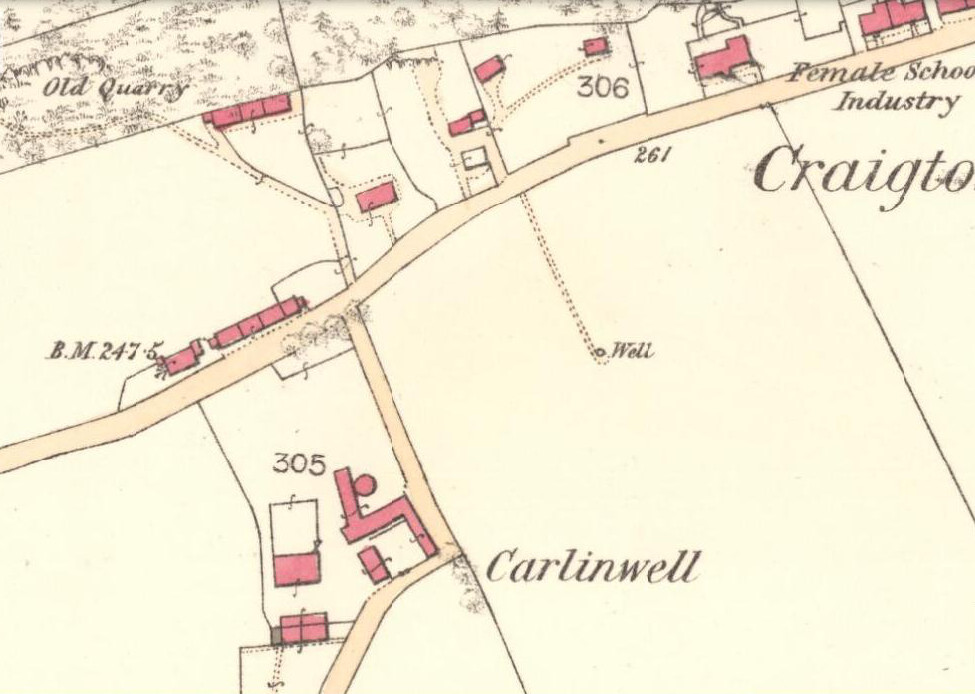
Getting Here
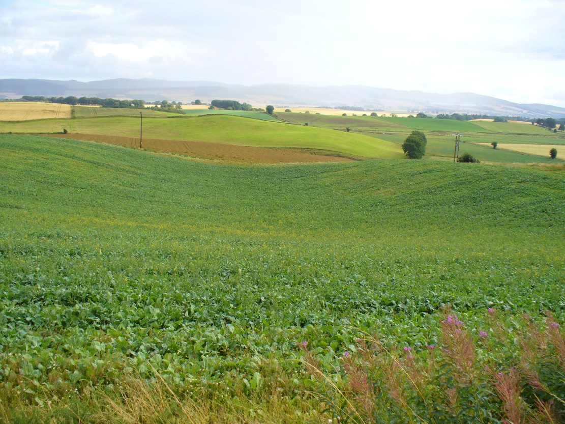
From Kirriemuir centre, take the B956 out of town until you hit the B955. Head north along this road until the houses are behind you. You’ll pass a woodland on your left straight away and as the road starts to bend right, take the first small road on your left. Go along here for about 150 yards and stop. Look into the fields across the road and there it is!
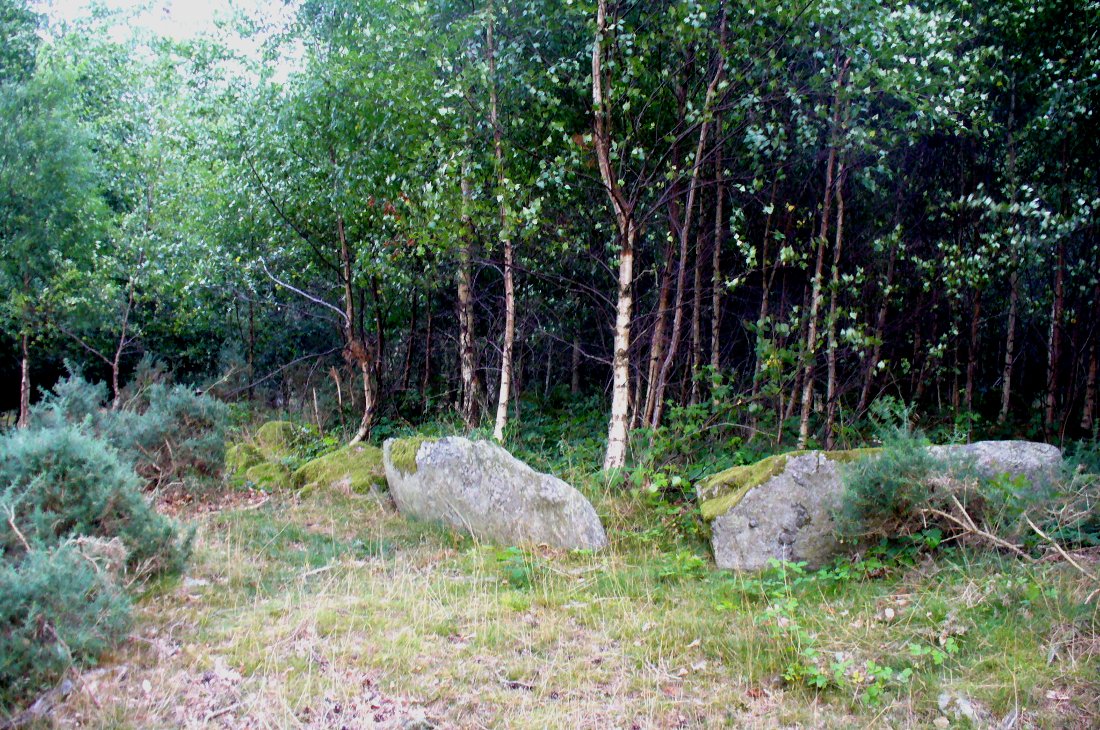
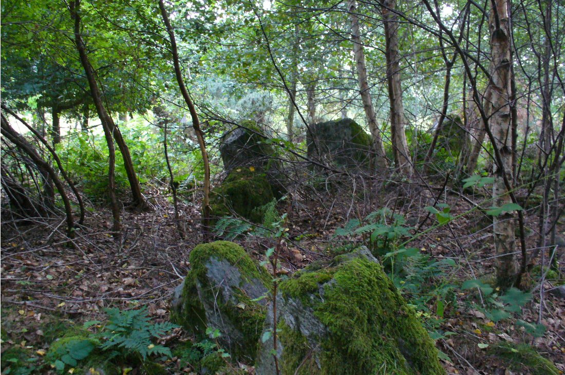
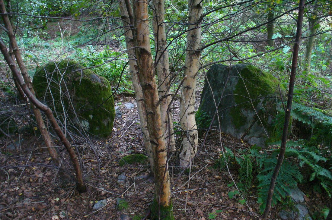
Archaeology & History
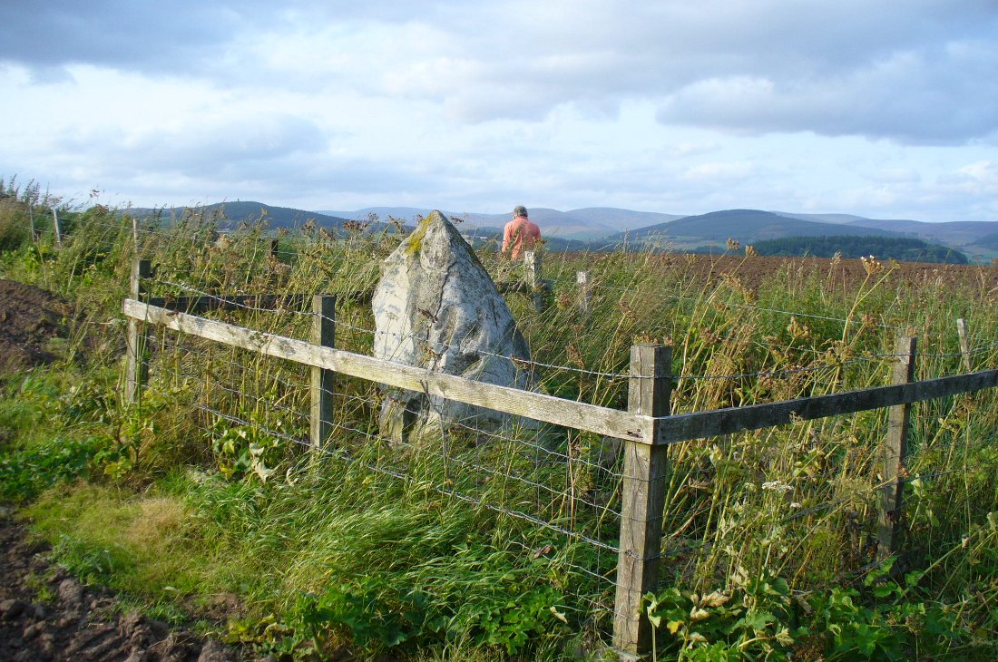
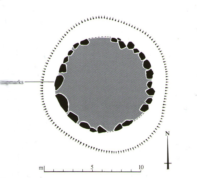
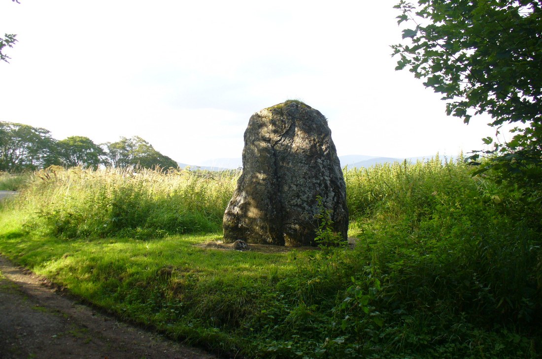
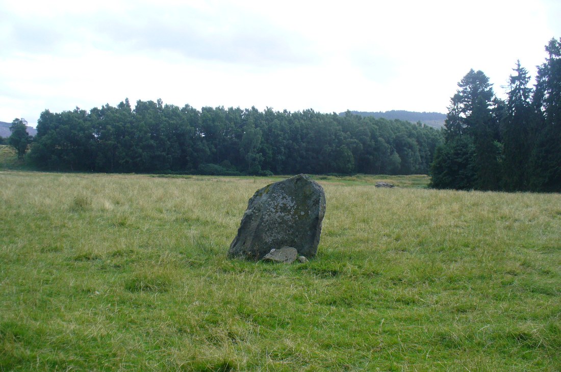
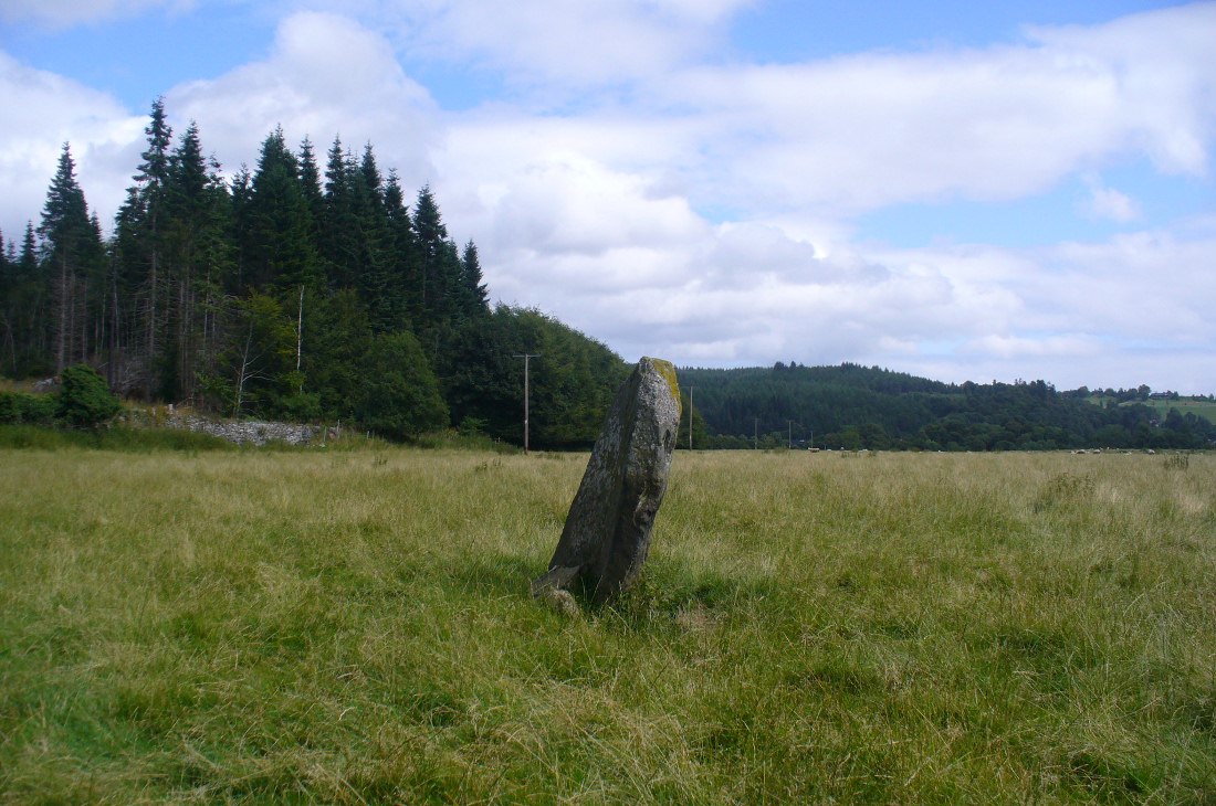
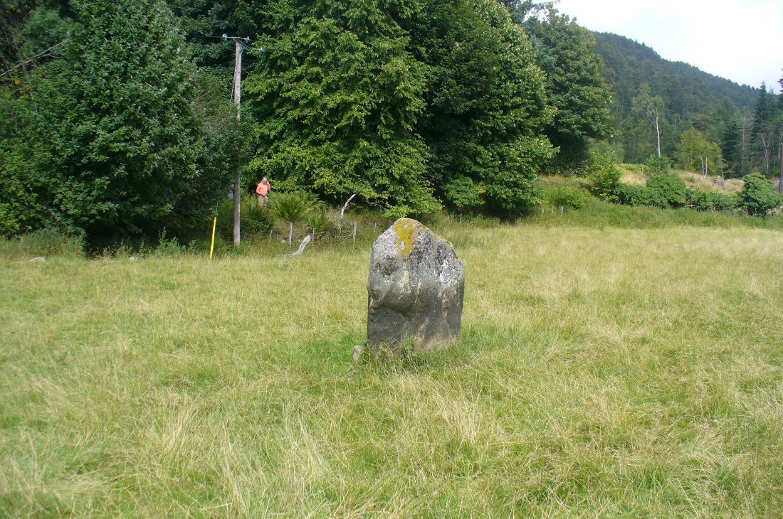
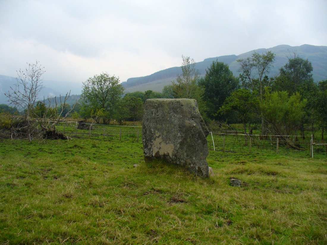
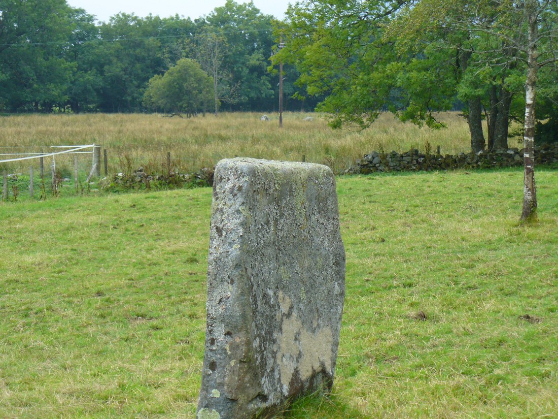
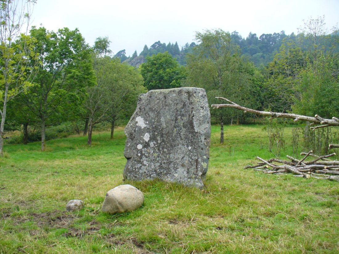
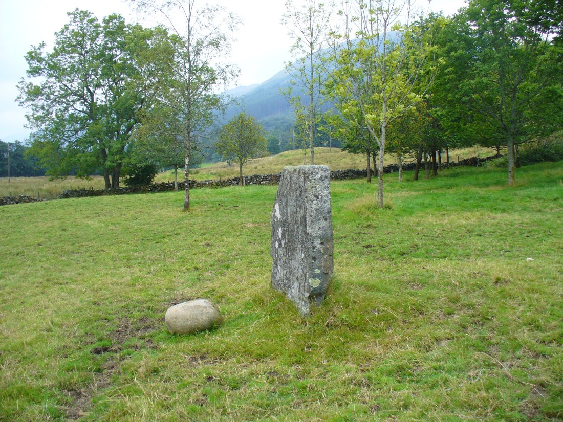
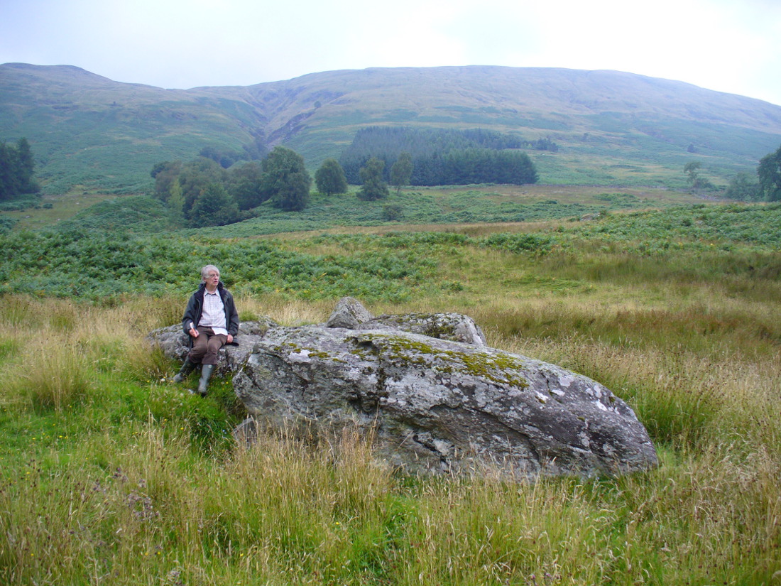
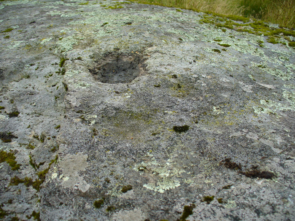
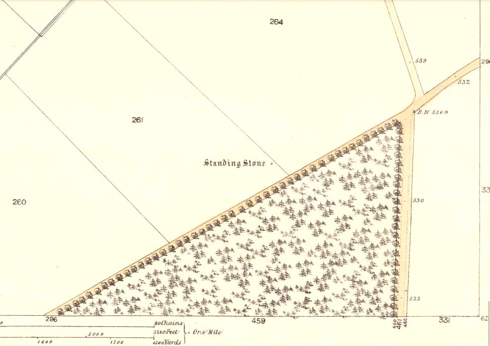
The small standing stone we see here today, within in a small fenced enclosure by the wall-side, was highlighted on the 1865 OS-map in exactly this position. However, its earlier history seems much more intriguing – and at least one account tells us how this solitary stone was once part of something much bigger—implying that it was of some considerable important to our ancestors. In A.J. Warden’s (1884) magnum opus on the history of this region he told that,
“A circle of stones was discovered in trenching a field at Caldhame, a little to the north of (Kirriemuir) town. It was over sixty feet in diameter, and in the centre was a large standing stone. The circle was removed, but the centre stone was left.”
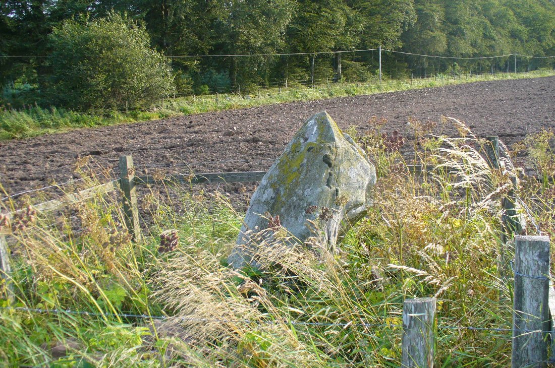
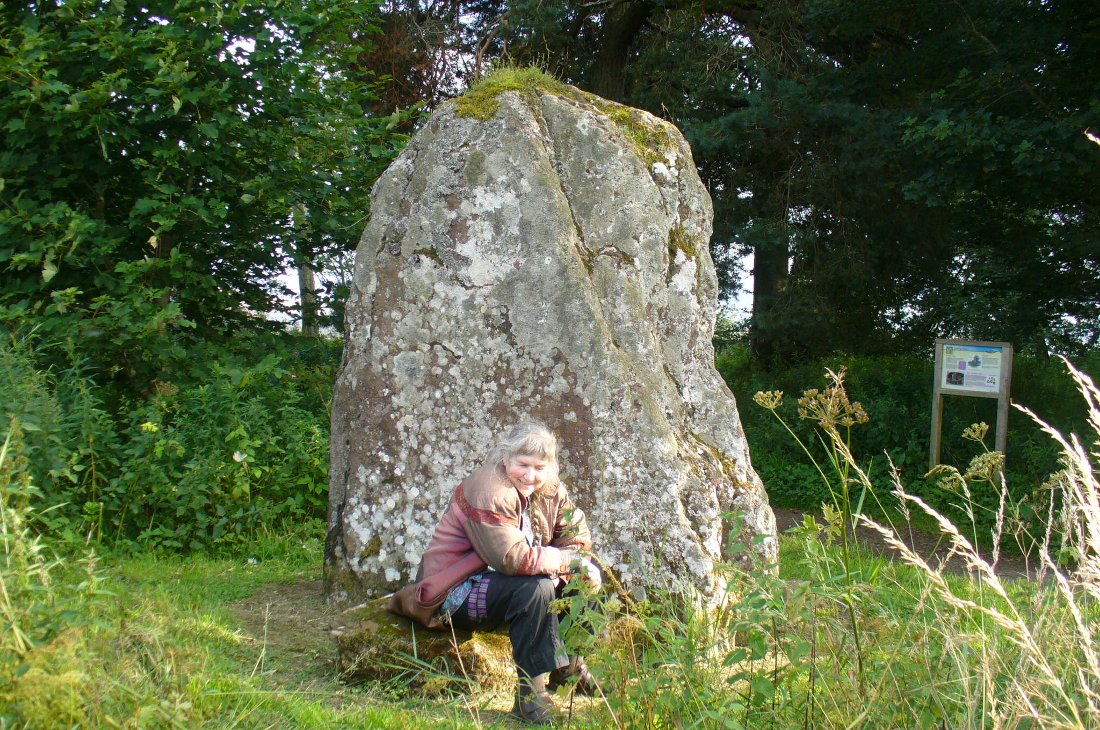
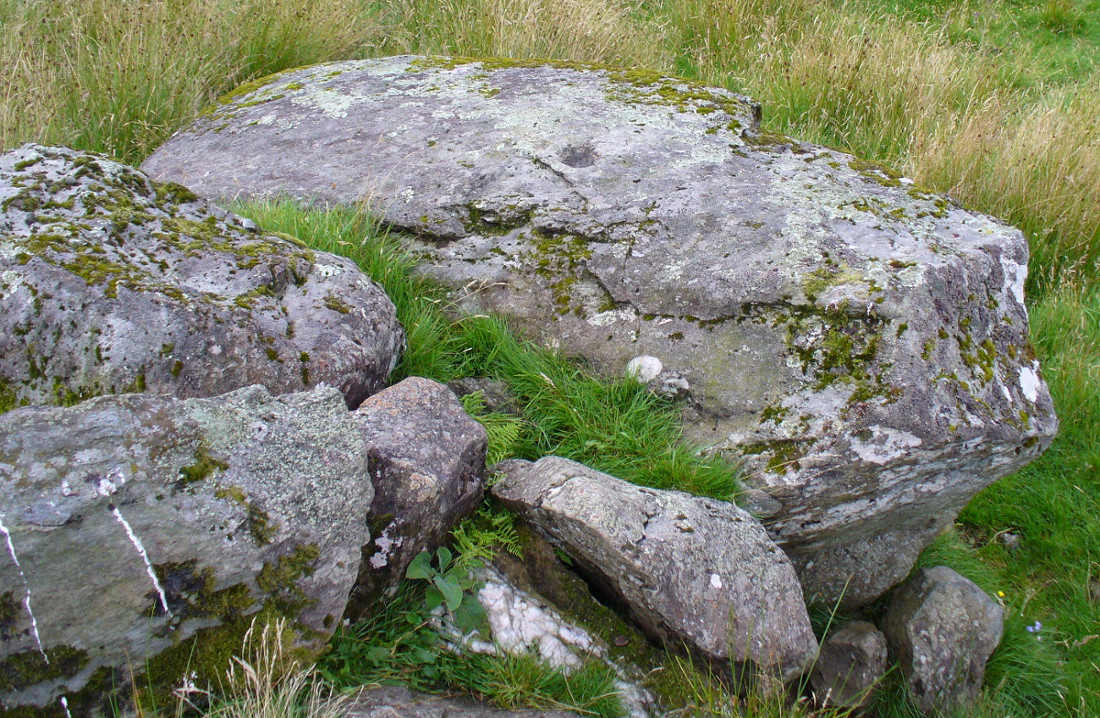
Another local writer later reported that there were remains of six stones in the field immediately below the remaining upright, but these have since disappeared. The descriptions seem to imply that the stone was a part of a burial complex of some sort. Sadly, all we see today is this one remaining upright: some 5 feet tall, but looking shorter as it leans to its side, seemingly ready to fall. Do any local people know anything more about this place?
References:
- Royal Commission on the Ancient and Historical Monuments of Scotland, The Archaeological Sites & Monuments of Central Angus, Angus District, Tayside Region, HMSO: Edinburgh 1983.
- Warden, Alex J., Angus or Forfarshire: The Land and People – Descriptive and Historical – volume 4, Charles Alexander: Dundee 1884.
© Paul Bennett, The Northern Antiquarian