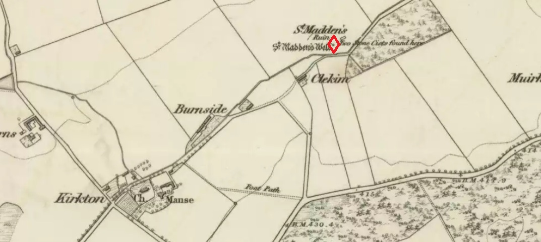
Holy Well: OS Grid Reference – NO 3179 5188
Also Known as:
- Canmore ID 32367
- St. Madan’s Well
- St. Medan’s Well
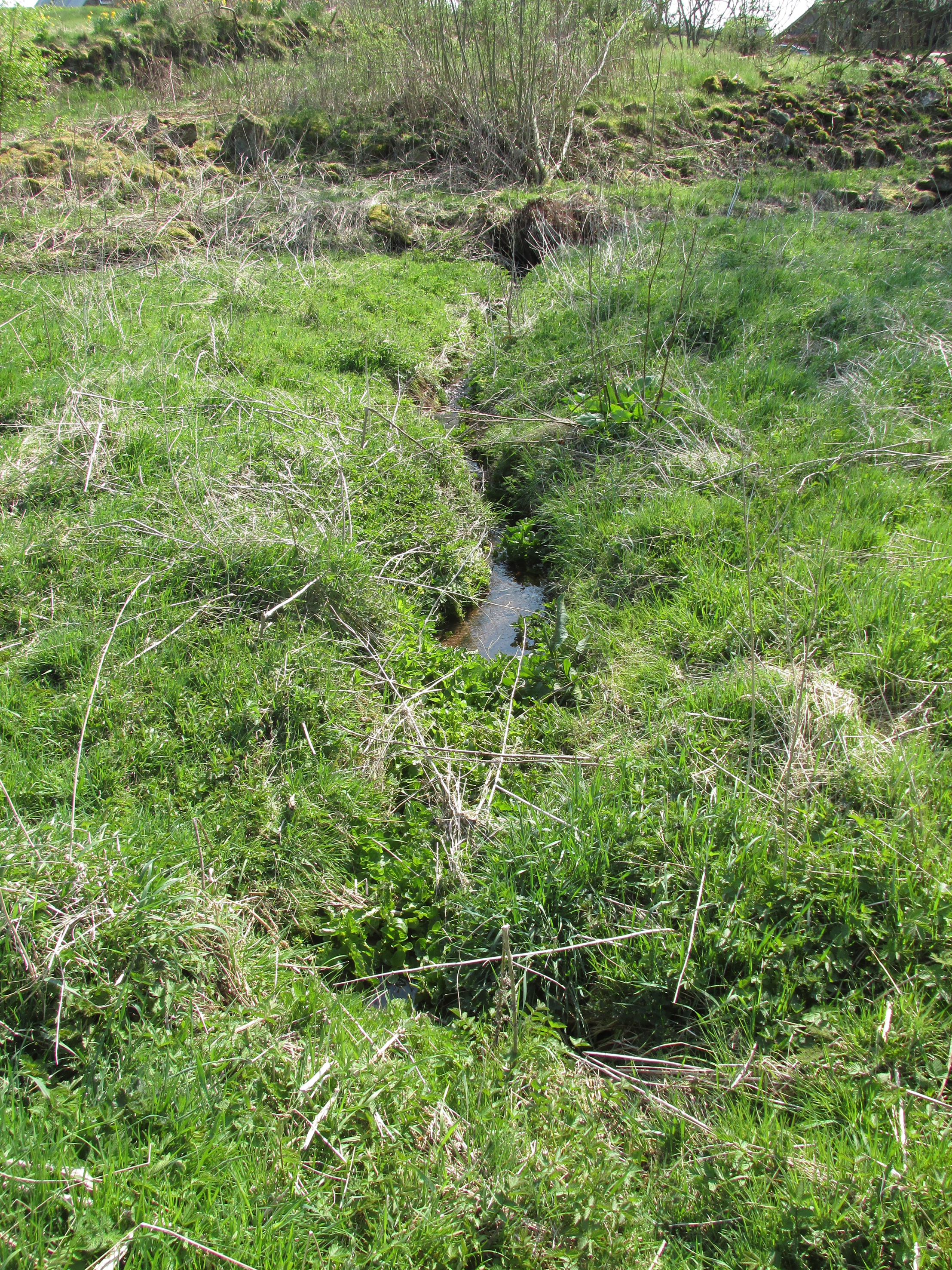
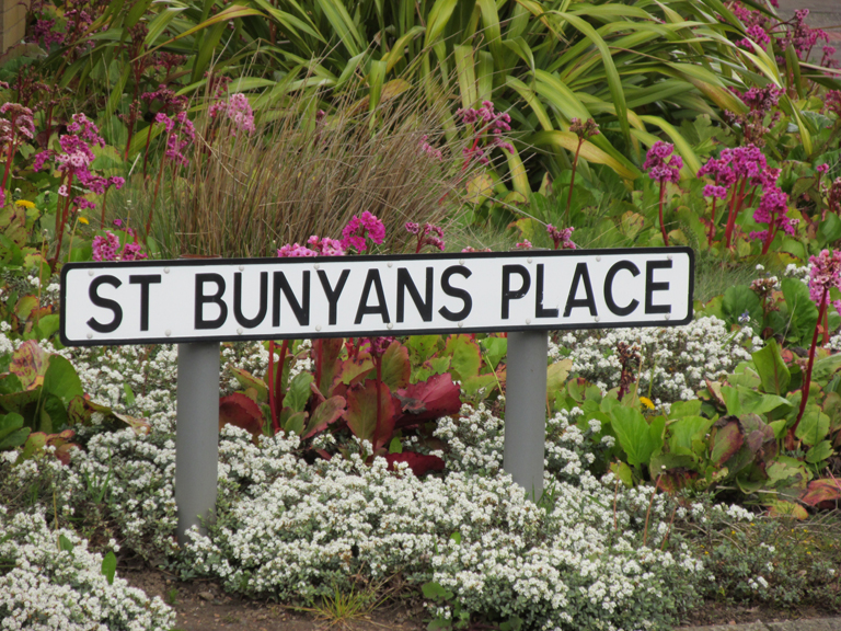
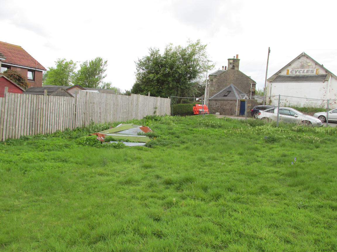
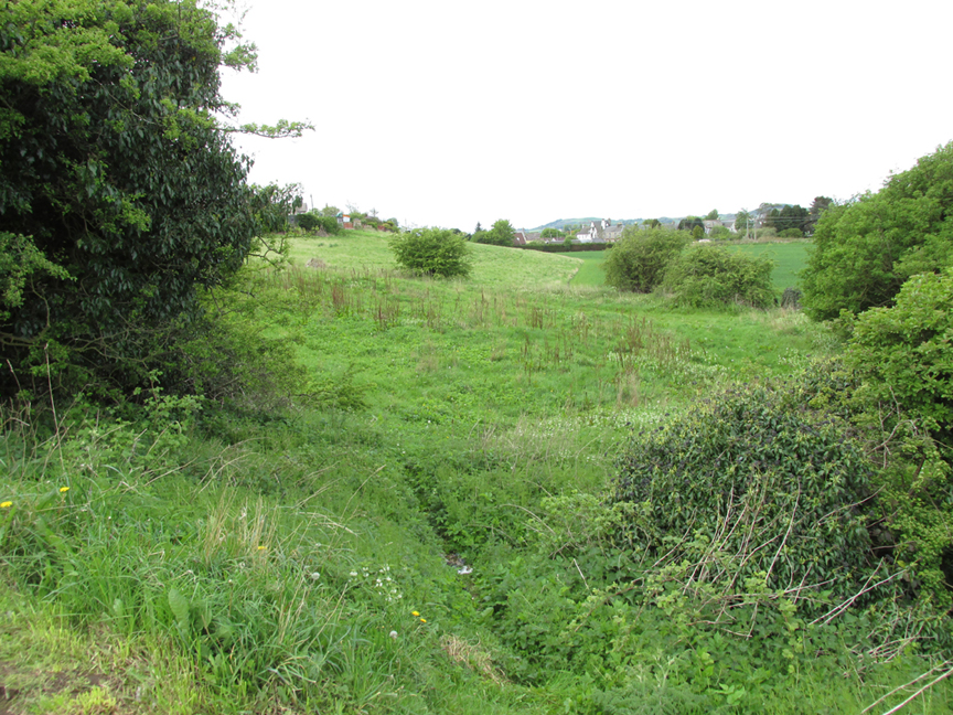
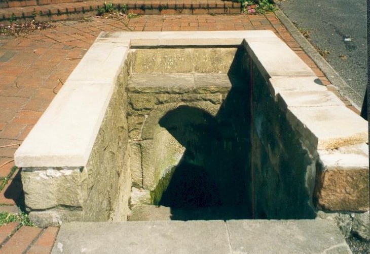
At Kirkton of Airlie, park next to the church and walk north eastwards along the track, past the houses ‘Crabra’ and ‘Cleikheim’ and the spring that once supplied the Holy Well will be seen on the opposite side of the burn in a small fenced off enclosure. To the north east of the enclosure is a small hillock known as St Medan’s Knowe.
Archaeology & History
According to the Ordnance Survey Name Books, St Madden’s Well was located in a hamlet called St Maddens, which has since been almost entirely destroyed. In the mid nineteenth century a number of stone coffins and pottery were recovered from around the site, and the well was described as,
“filled up and defaced, the spring…still to be seen issuing into the mouth of a covered drain that was made some few years ago”.
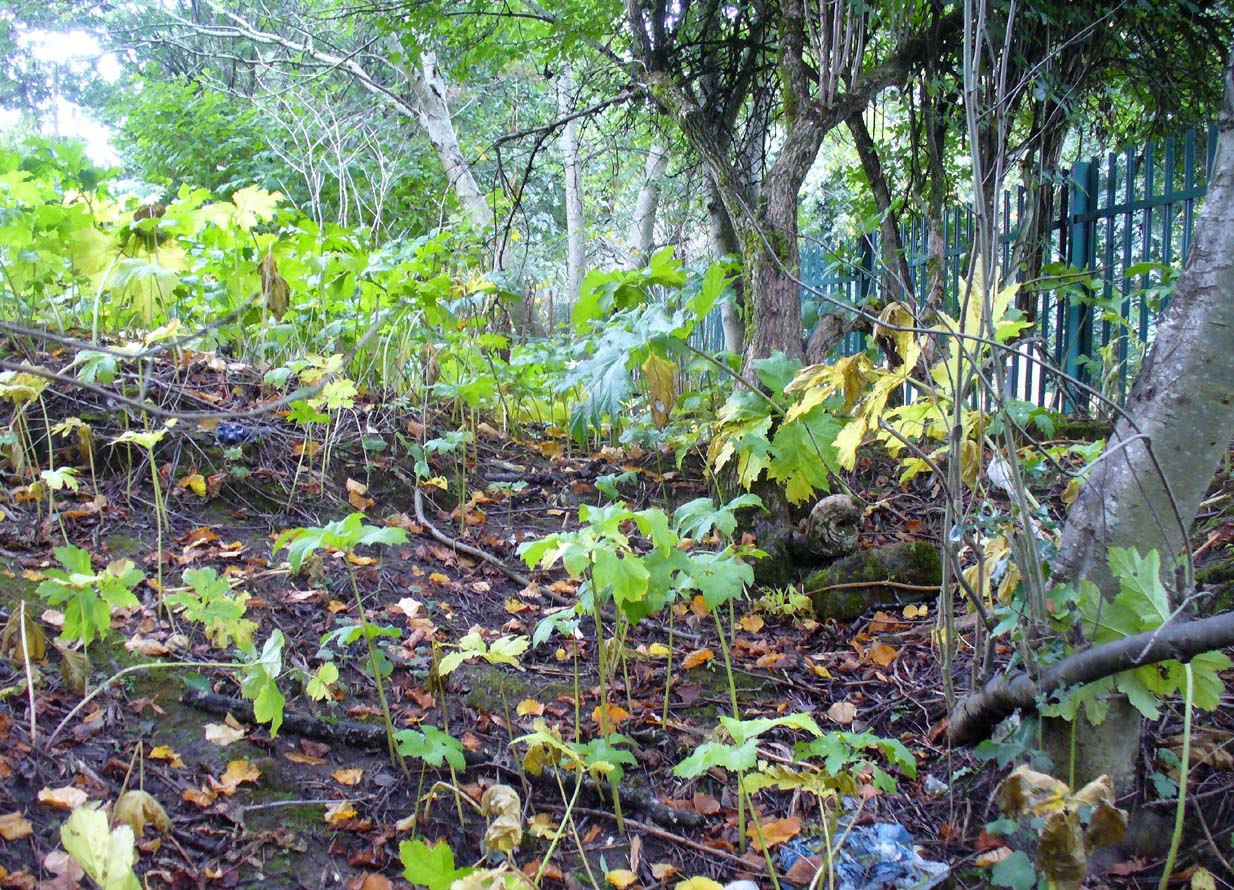
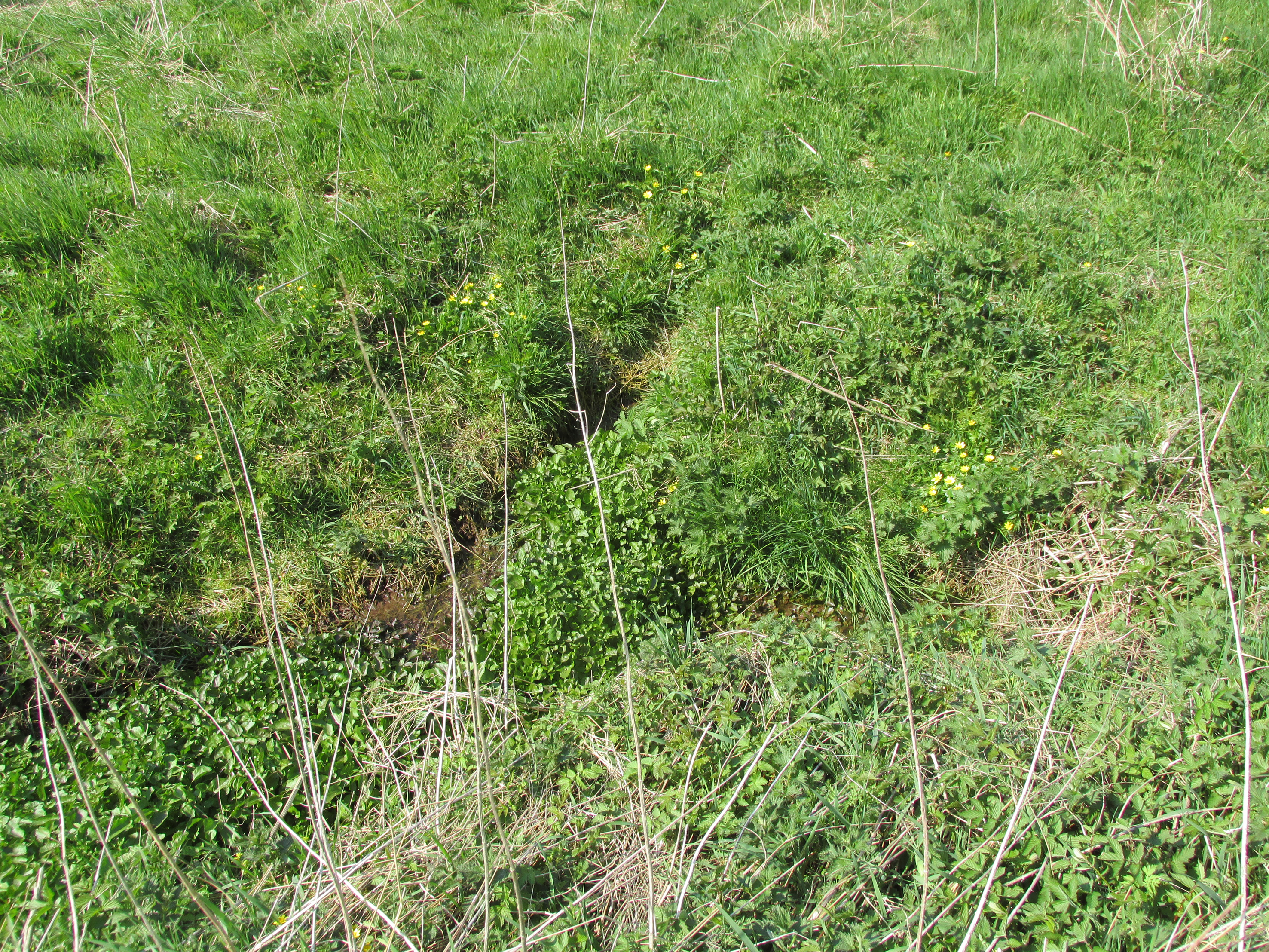
There are now two issues of water from the spring, while nothing now remains of the original well housing. An adjoining resident informed me that the local landowner had gone to some trouble to try to find any evidence of the well housing, but had found nothing.
As is often the case with these early mediaeval Scottish saints there is some confusion as to St Madden’s identity. To some writers his Saint’s day is accepted to be April 29th, and he has been identified as Saint Middanus, abbot of the monastery of Holywood, but Bishop Alexander Forbes considers he is more likely to have been a Bishop Medanach listed in the Dunkeld Litany.
To confuse things even more, J.M. MacKinlay (1904) wrote:
“The Hamlet of St Madden’s or St Medan’s in the parish of Airlie, where are also St Medan’s Well and St Medan’s Knowe, probably retains the name of St Modan, believed to have been a contemporary of St. Ronan. Skene says: ‘Modan appears in the Scotch calendars as an abbot on the fourth February, and as a bishop on the fourteenth November; but the dedications to him are so much mixed up together that it is probable that the same Modan is meant for both'”.
Andrew Jervise provides the following quote about St Medan:
“..bishop and confessor whose feast is held on 14th November was in great favour with King Conran c.503 – Coll. for Aberdeen and Banff.”
Whosoever St Madden was, his quadrangular bell was the subject of an extant fifteenth century deed whereby the bell with its appurtenant parcel of land was granted to the Countess of Moray as dewar (hereditary keeper of a Holy Relic with appurtenant land), together with “the infeftment being completed by (the Countess) being shut up in a house and then receiving the feudal symbols of earth and stone.” On the death and subsequent disposal of the estate of the last dewar in the nineteenth century, the bell was sold along with a load of rubbish, its true identity and value not being realised at the time.
References:
- Andrew Jervise, The History and Traditions of the Land of the Lindsays, Edinburgh, Sutherland & Knox 1853.
- Andrew Jervise, Epitaphs and Inscriptions from Burial Grounds and Old Buildings in the North East of Scotland, Edinburgh, Edmonston and Douglas 1875.
- James Murray MacKinlay, Influence of the Pre-Reformation church on Scottish Place-Names, Edinburgh and London, William Blackwood and Sons 1904.
- Dom Michael Barrett, A Calendar of Scottish Saints, Fort Augustus 1919.
- Bishop Alexander Forbes, Kalendars of Scottish Saints, Edinburgh, Edmonston and Douglas 1872.
- Scotland’s Place Names
- Andrew Jervise, Notice of Antiquities in the Parish of Airlie, Forfarshire, in Proceedings of the Society of Antiquaries of Scotland, June 1864
© Paul T. Hornby 2016 The Northern Antiquarian