Cup-Marked Stone: OS Grid Reference – SE 07833 44313
Also Known as:
- Carving no.78 (Boughey & Vickerman)
Head up to the lovely Wondjina Stone carving, then walk east towards the triangulation pillar. Keep going, over the wall – and keep going straight on, over the next wall (no footpaths up here at all). You’re now into rough heathland, but if you’re a real cup-and-ring freak, keep heading another 150 yards east, zigzagging slightly. You’ll eventually find it!
Archaeology & History

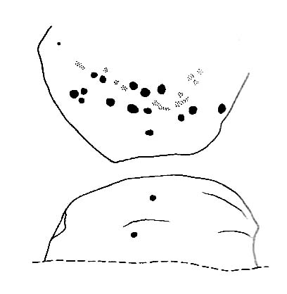
A quite large, smooth earthfast rock, but nowt much to look at unless you’re one of the crazy bunch! This is just another one of our basic cup-marked rocks with very little modern archaeo-history attached. There are perhaps as many as four cup-markings etched onto the stone: two at the northern end, one a little further down (not mentioned in Boughey & Vickerman’s survey) and another one cited towards the south end of the stone. Gotta be honest though: a couple of them are slightly dubious and may be natural — but hopefully not! (soz about the crap photo of this poor carving; but the light was shit & our camera packed-up!)
References:
- Boughey, Keith & Vickerman, E.A., Prehistoric Rock Art of the West Riding, West Yorkshire Archaeology Service 2003.
© Paul Bennett, The Northern Antiquarian