Holy Well: OS Grid Reference – NS 7039 4438
Archaeology & History
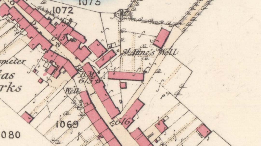
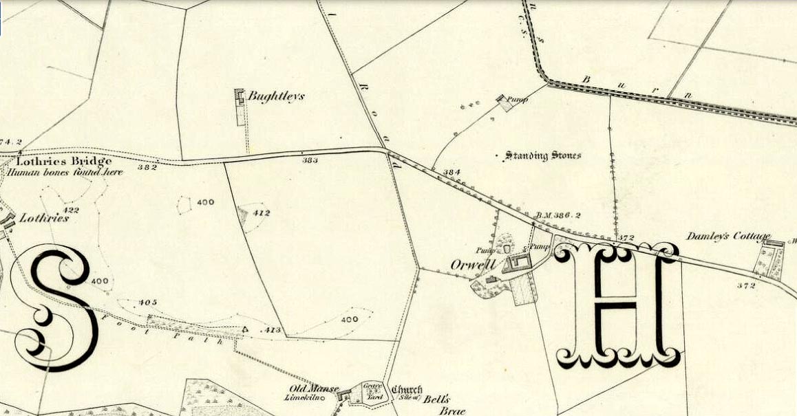
St Anne’s Well on 1865 map
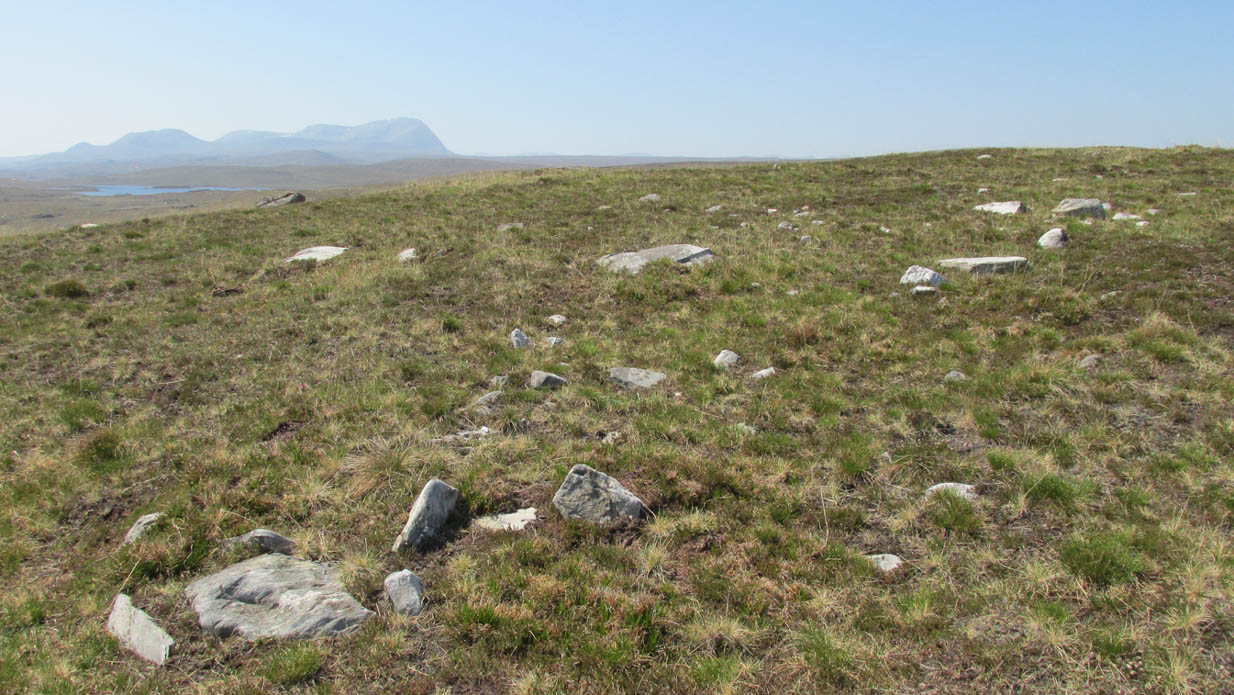
Long since lost it would seem, in a search for this legendary site over the weekend with Gordon, Aisha and Lara, I’m still not certain of the actual status of the site. Although we found a very fresh water supply still running not far from where the old OS-map showed the original holy well to be, it may be a completely different water source.
There are hardly any references to the spring and those that exist are scant. In the early 1860s, St. Ane’s Well was mentioned briefly in the Object Name Book of the area:
“This is a good spring well in the southern part of the town of Strathaven. It is commonly called Tun’s (Tan’s?) Well, but this is an abbreviation of the name.”

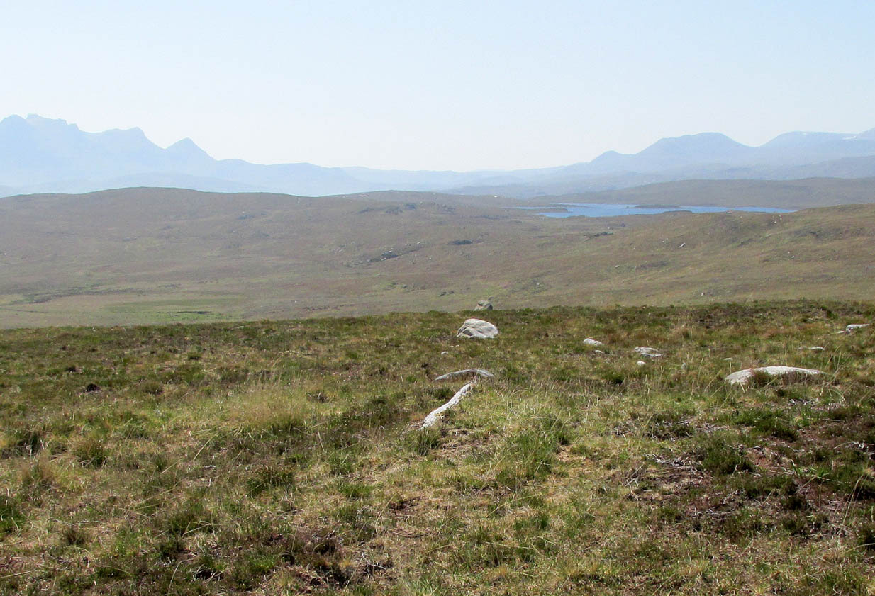
Lara plays at a nearby well

Looking down on the waters
More recently, thanks to a communication from the local historian Robert Currie, more information has come to light about the well. It was described in the local history work by Mary Gebbie (1880). Mr Currie told me:
“In her Sketches of Avondale and Strathaven…we read: “In a lane off Tod’s Hill was the famous Tann’s Well – obviously a corruption of the celebrated water saint, St. Anne. This spring has within a few years completely dried up. Access was easily had from the castle to it, over the draw-bridge, which is said to have rested on the ledge of the ground and rock on which the fifth house is built south of the bridge. Before this aperture was built up, the inhabitants around took advantage of the pathway for drawing water from the Pomillion, at a place called the Fairy Pool. A little above this comes the Dove Castle; and a half a mile further out is the Gallow Hill.”
He continued:
“That said, the current siting of St. Anne’s Well is located on Lesmahagow Road with (the) site being almost opposite the Council houses bordering on Station Road (there is currently a mini-roundabout near the locus). In recent years the site has become obscured but in my own living memory there was once a plaque authenticating the site and with a garden seat thereby.”
In searching through their own library, Mr Currie and his wife came across more about the site in William Downie’s (1979) book on Strathaven, in which he wrote:
“A small lane off Todshill went down to a cluster of houses called St. Anne’s Well nestling on the sloping ground beside the mill dam. In 1911 these houses were acquired and demolished by the Town Improvement Committee. A row of houses backing backing on to Powmillon Burn were also demolished at the same time and a retaining wall with railings erected, so opening up a very fine view of the castle and burn etc.”
The dedication here to the mythic figure of St. Anne (mother of the Virgin Mary and grandmother of Jesus) is isolated and mysterious. No church is dedicated to her in the area, nor other relative christian remains. Her appearance in Strathaven is something of an oddity. There was a Duchess ‘Ann’ Hamilton of Strathaven Castle who lived 200 yards away at Strathaven Castle on the other side of the river that might have given her name to the well, but this is very unlikely. More probable is that St. Anne was used as the mythic figure who covered an earlier dedication to the prima mater, or Cailleach—although there are no remains that relate to Her either. However, the existence of St Mary’s church and an associated well to the north, along with a burn dedicated to a “maiden” in the same parish to the northwest add to the cailleach’s potential…..but all tales of Her have seemingly been forgotten.
…So it seems that the spring of water that Lara, Aisha, Gordon and I came across was obviously not the same place, but exists just below the roadside where the disused railway line is. It’s close to St Anne’s Well – but is not the same water source.
References:
- Downie, Fleming, A History of Avondale and Strathaven, Eric Moore: Glasgow 1979.
- Gebbie, Mary, Sketches of the Town of Strathavon and Parish of Avondale: Historical & Traditional, John Menzies: Edinburgh 1880.
Links:
Acknowledgements: Considerable thanks must be given to Robert Currie, BA Hons, who sent us additional information enabling a more informative and accurate site profile for this holy well. Thanks Bob! Also huge thanks again to Aisha Domleo, Lara Domleo, Unabel Gordon and their frobbling Leonidus!
© Paul Bennett, The Northern Antiquarian